The best hiking routes in Parque Natural del Alto Najerilla
Discover the best walks in Parque Natural del Alto Najerilla. 13 routes on the map, with descriptions, photos and GPX.
Managed by Gobierno de La Rioja
About Parque Natural del Alto Najerilla
Parque Natural del Alto Najerilla occupies the high, mountainous southwestern corner of La Rioja, where the terrain is defined by steep limestone gorges, dense beech forests, and high-altitude pastures. Unlike the flatter vineyard landscapes of the lower Ebro valley to the north, this area is characterized by rugged Iberian peaks and deep river incisions. Walkers will find a landscape shaped by traditional sheep grazing, where open, grassy uplands contrast sharply with the dark, humid woodlands that cling to the northern slopes.
Read more
About Parque Natural del Alto Najerilla
Parque Natural del Alto Najerilla occupies the high, mountainous southwestern corner of La Rioja, where the terrain is defined by steep limestone gorges, dense beech forests, and high-altitude pastures. Unlike the flatter vineyard landscapes of the lower Ebro valley to the north, this area is characterized by rugged Iberian peaks and deep river incisions. Walkers will find a landscape shaped by traditional sheep grazing, where open, grassy uplands contrast sharply with the dark, humid woodlands that cling to the northern slopes.
Read moreParque Natural del Alto Najerilla occupies the high, mountainous southwestern corner of La Rioja, where the terrain is defined by steep limestone gorges, dense beech forests, and high-altitude pastures. Unlike the flatter vineyard landscapes of the lower Ebro valley to the north, this area is characterized by rugged Iberian peaks and deep river incisions. Walkers will find a landscape shaped by traditional sheep grazing, where open, grassy uplands contrast sharply with the dark, humid woodlands that cling to the northern slopes.
Underfoot, the trails vary from rocky, uneven limestone paths in the higher sections to soft, leaf-strewn dirt tracks beneath the beech canopy. Water is a constant presence on the trail, with the Najerilla River and its tributaries cutting through narrow ravines, meaning walkers will frequently cross stone bridges or follow paths running parallel to rushing mountain streams. The higher pastures are often crisscrossed by faint livestock tracks rather than signposted routes, requiring basic navigation skills.
In October and November, the beech forests turn a deep copper color, making these wooded valleys the visual focus of the park. While the lower valleys and the villages of Viniegra de Arriba and Viniegra de Abajo are relatively accessible, the higher ridges require steady footwork on loose scree. This is a working mountain landscape of stone corrals and active forestry, offering a quiet, rustic walking experience without the manicured paths or heavy infrastructure found in more developed mountain resorts.
Hiking routes in Parque Natural del Alto Najerilla (13)
#1. Ascesión al Otero
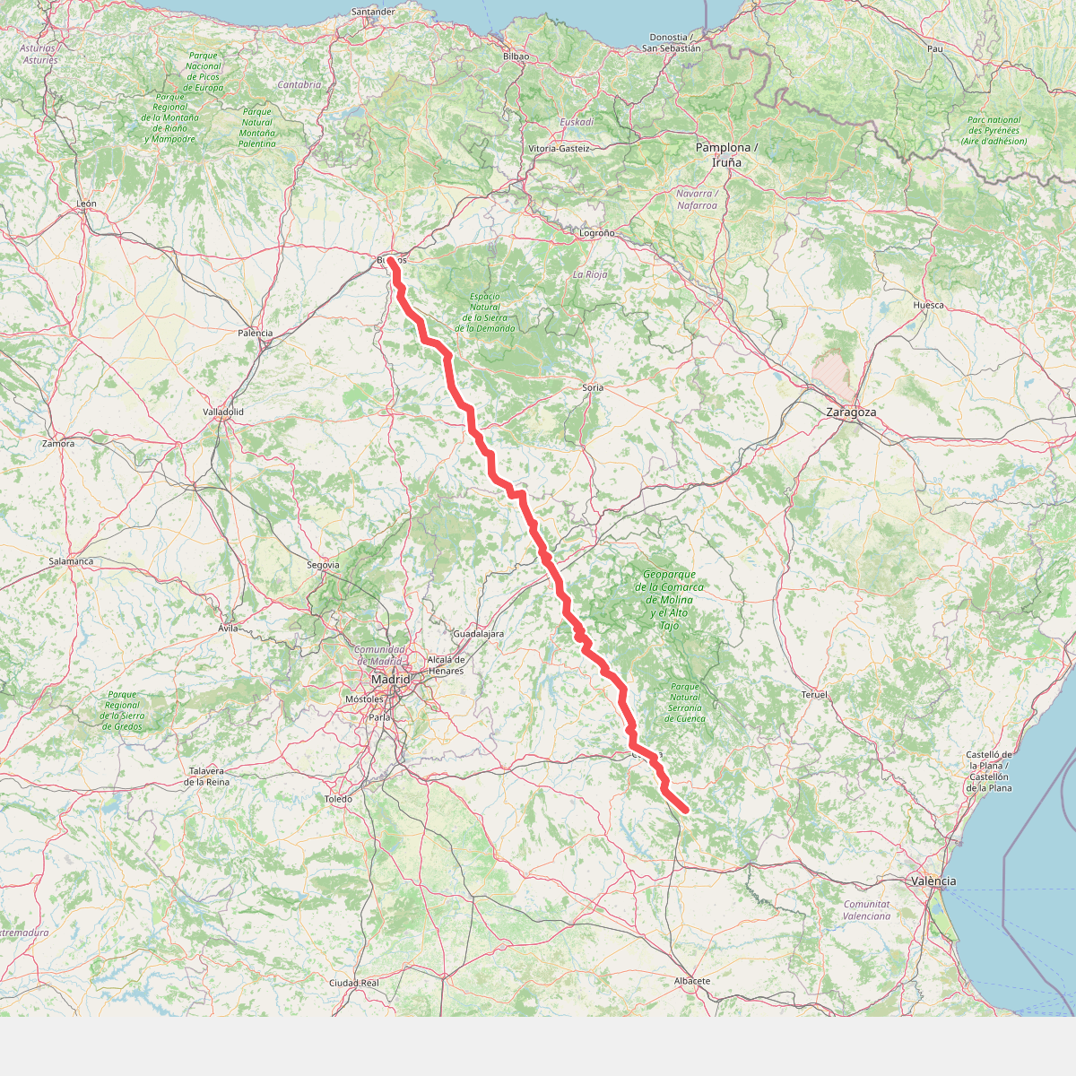
#2. Camino de Santiago de la Lana.Senderista
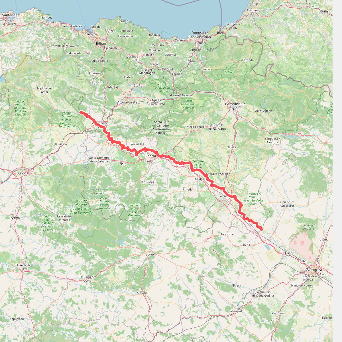
#3. Camino natural de Ebro - Tramo central
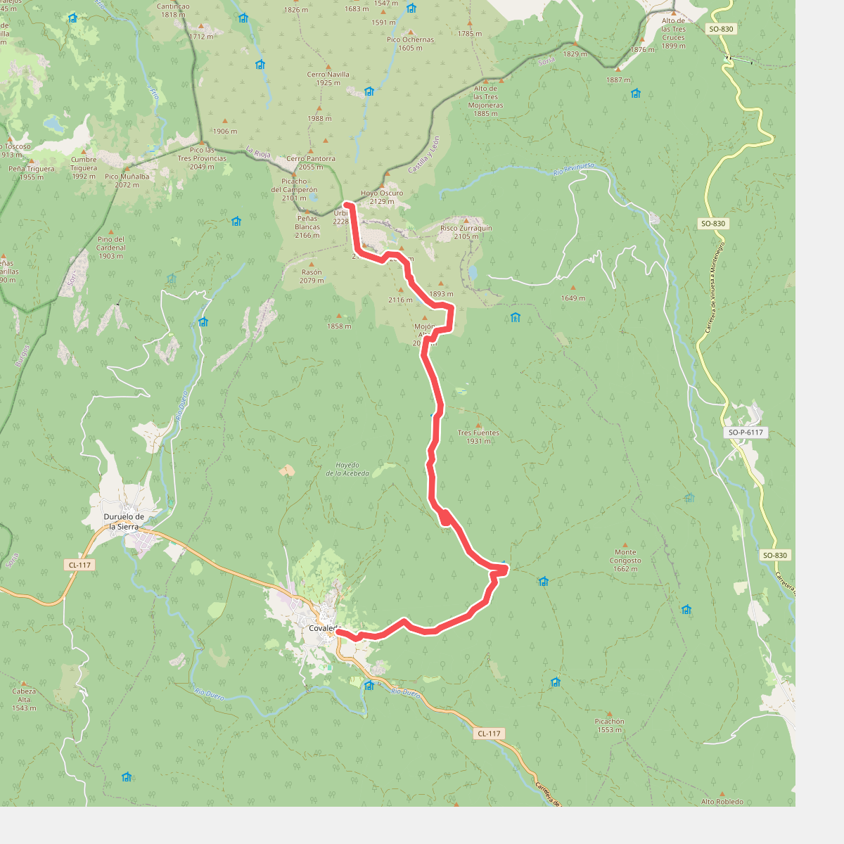
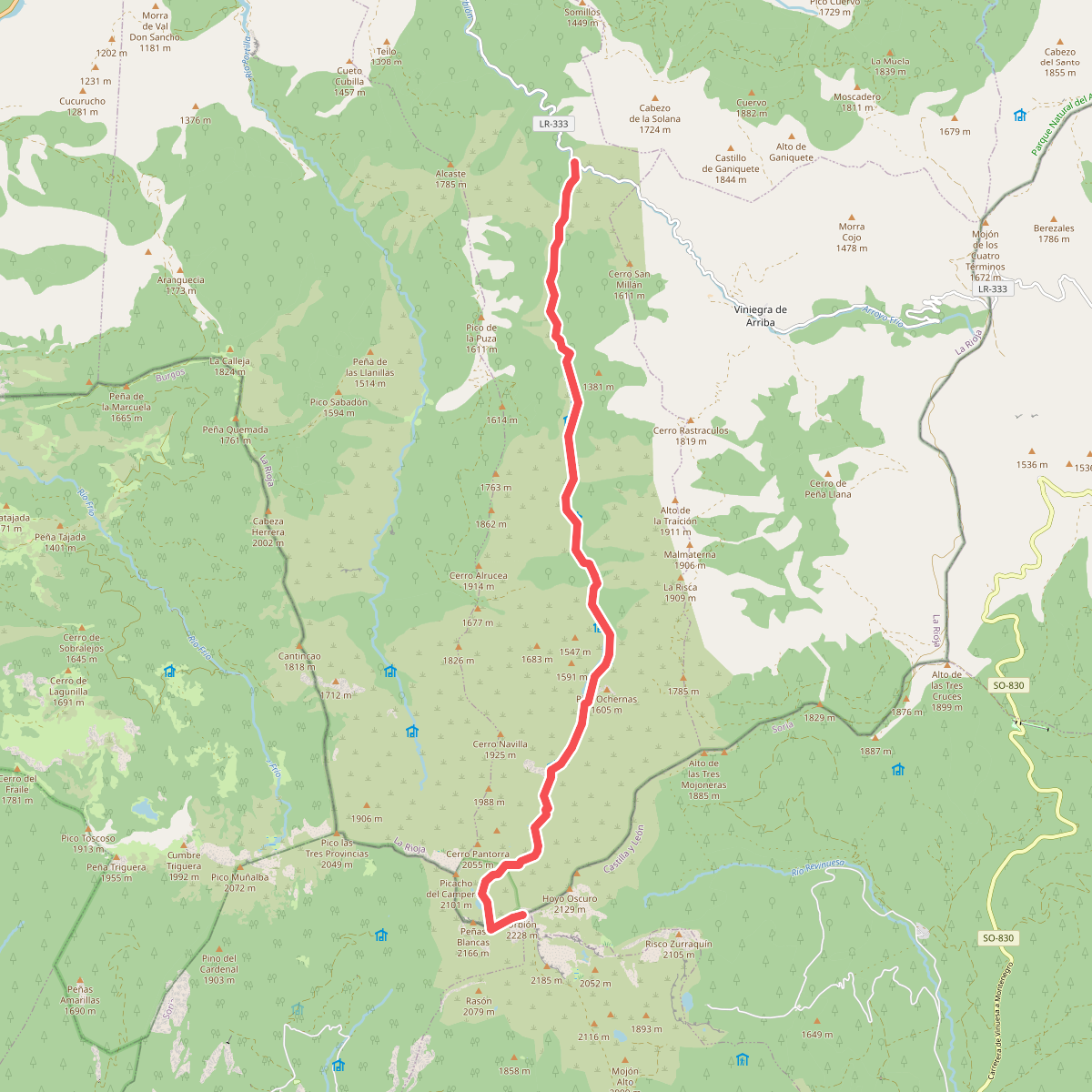
#4. Covaleda-Pico urbión
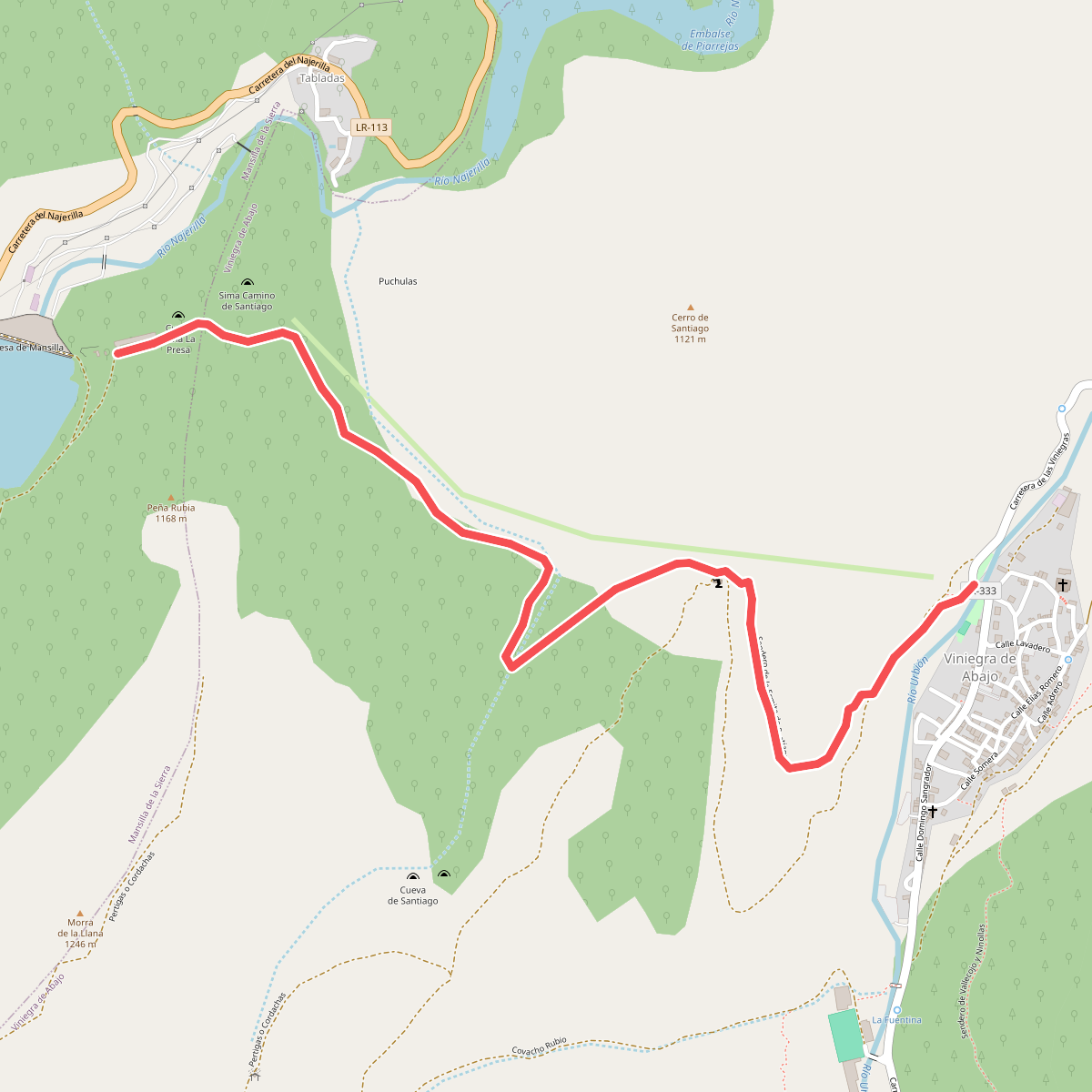
#5. Embalse de Mansilla
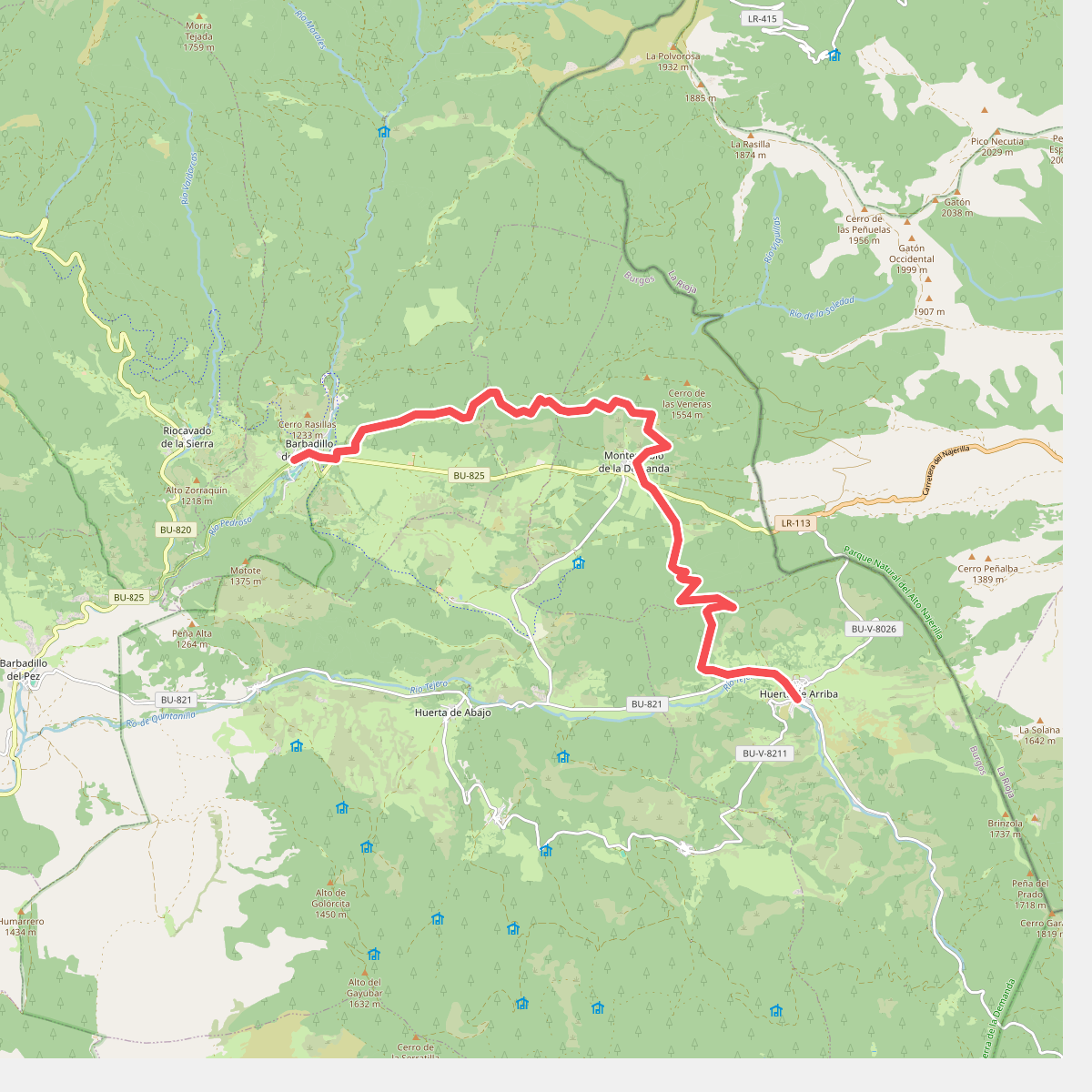
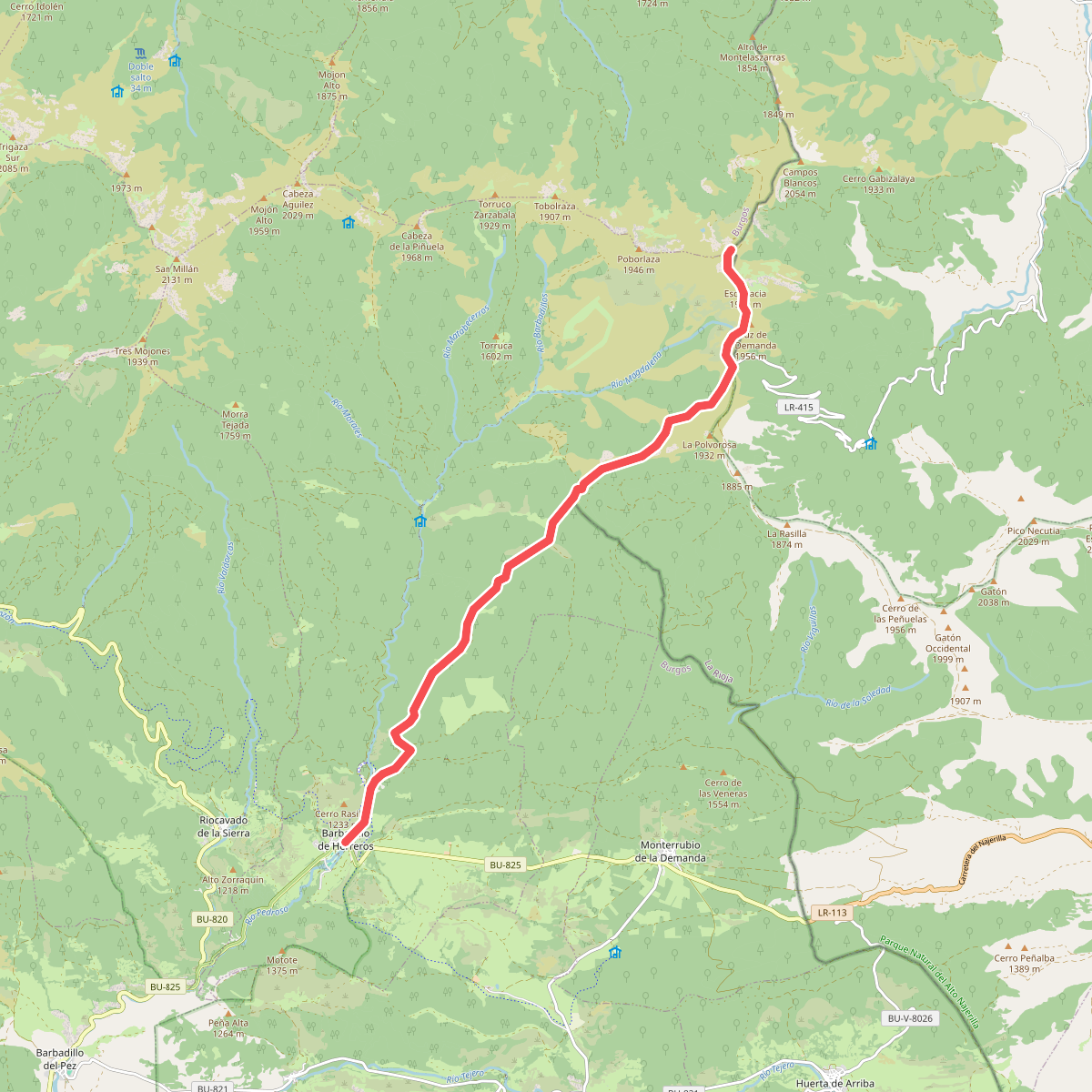
#6. Etapa 11 Huerta de Arriba - Barbadillo de Herreros
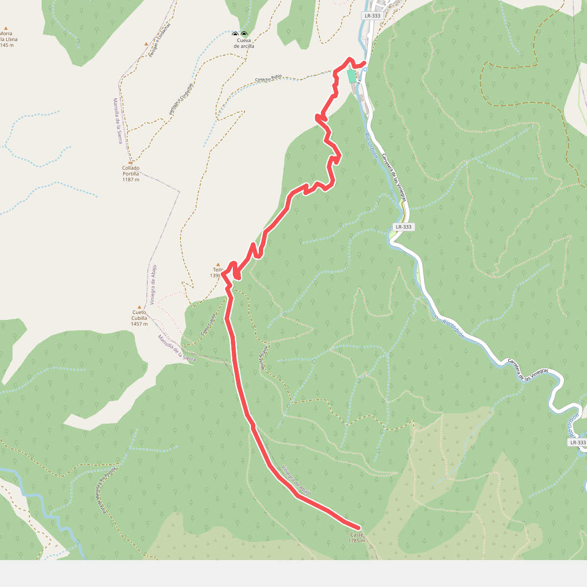
#7. Pico Alcaste
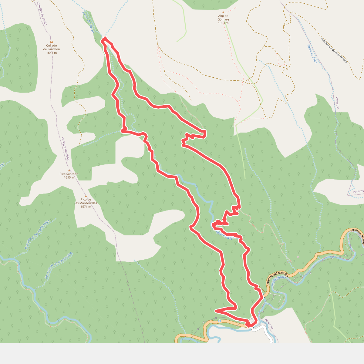
#8. Rigüelo
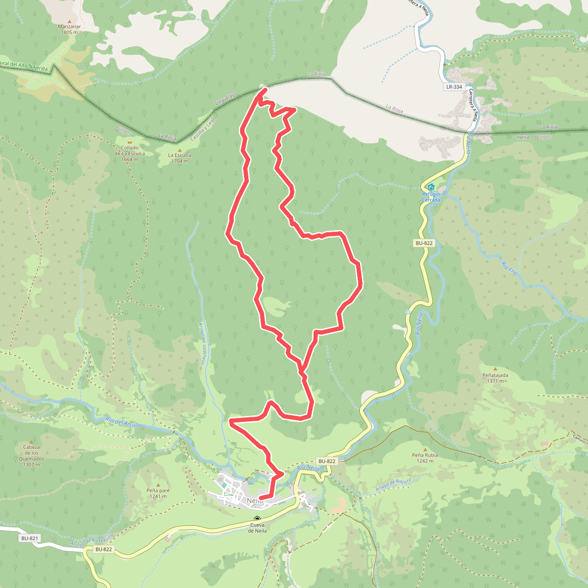
#9. Senda del Piquillo
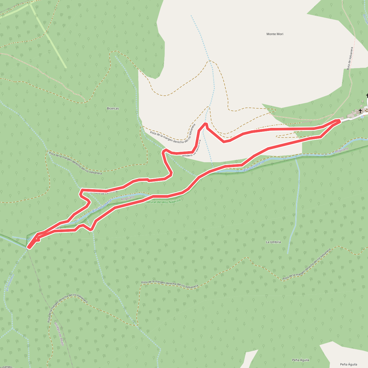
#10. Sendero de Valvanera
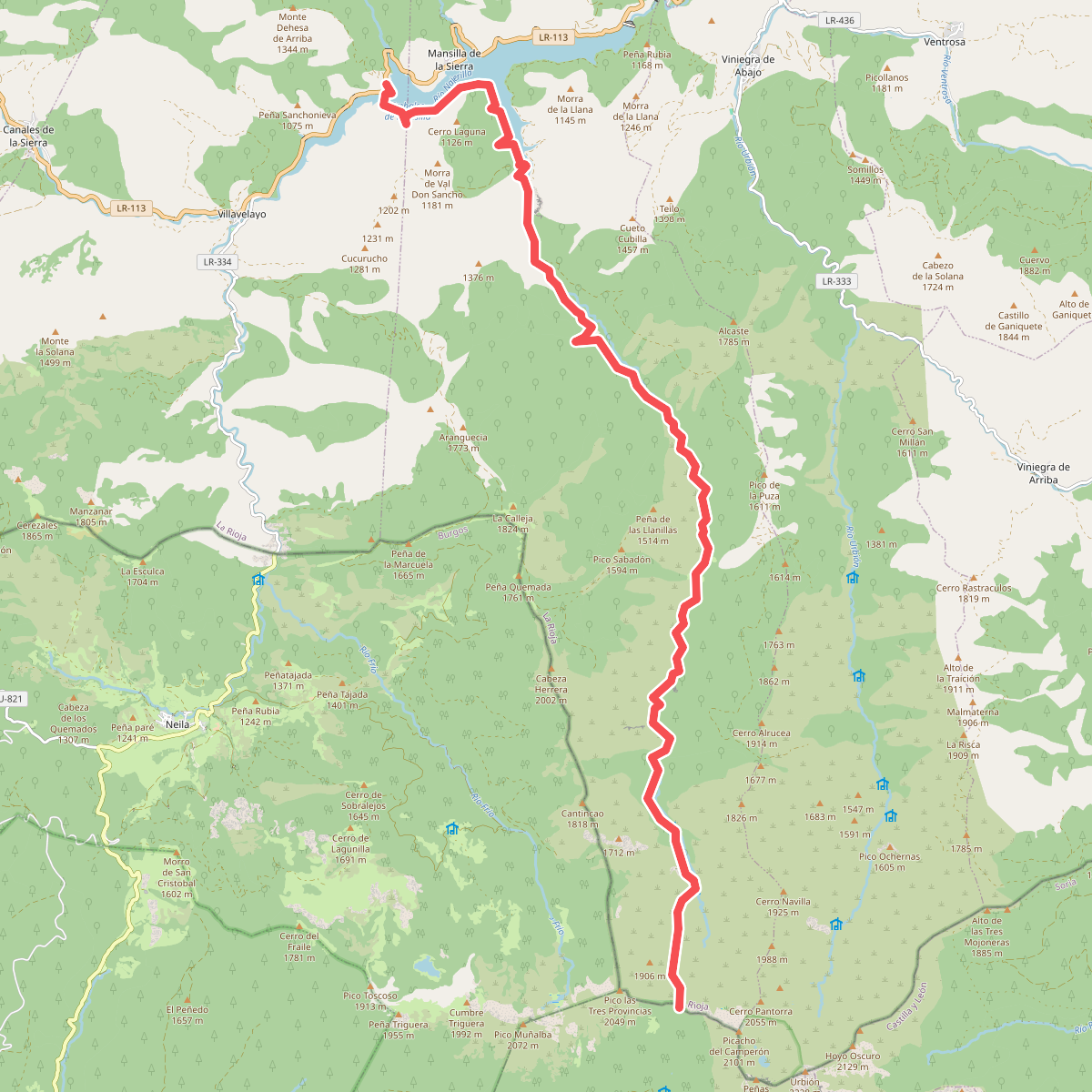
#11. Sendero del Portilla