The best hiking routes in Parque Nacional de Timanfaya
Discover the best walks in Parque Nacional de Timanfaya. 2 routes on the map, with descriptions, photos and GPX.
Managed by Comunidad Autónoma de Canarias
About Parque Nacional de Timanfaya
Parque Nacional de Timanfaya consists almost entirely of volcanic wasteland formed during the massive eruptions of the eighteenth century. Walking here is highly restricted to protect the fragile volcanic crust, meaning you cannot wander freely off-trail. The landscape is dominated by vast fields of jagged black basalt lava, known as malpa%s, and smooth, undulating ash plains in shades of ochre, red, and grey. You will not find trees, meadows, or natural water sources in this park.
Read more
About Parque Nacional de Timanfaya
Parque Nacional de Timanfaya consists almost entirely of volcanic wasteland formed during the massive eruptions of the eighteenth century. Walking here is highly restricted to protect the fragile volcanic crust, meaning you cannot wander freely off-trail. The landscape is dominated by vast fields of jagged black basalt lava, known as malpa%s, and smooth, undulating ash plains in shades of ochre, red, and grey. You will not find trees, meadows, or natural water sources in this park.
Read moreParque Nacional de Timanfaya consists almost entirely of volcanic wasteland formed during the massive eruptions of the eighteenth century. Walking here is highly restricted to protect the fragile volcanic crust, meaning you cannot wander freely off-trail. The landscape is dominated by vast fields of jagged black basalt lava, known as malpa%s, and smooth, undulating ash plains in shades of ochre, red, and grey. You will not find trees, meadows, or natural water sources in this park.
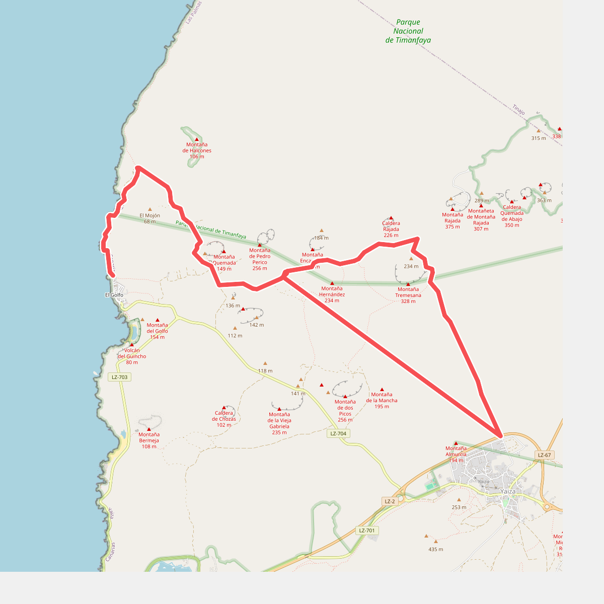
Underfoot, the designated walking paths consist of loose volcanic gravel, coarse ash, and sharp, uneven lava fragments. The terrain is generally open and exposed, characterized by volcanic cones and craters rather than traditional mountain ridges or deep green valleys. Because of the strict conservation rules, the Tremesana route is one of the few guided walking options available, requiring advance booking to traverse the interior on foot.
In the drier months of summer, the heat radiating from the dark stone is particularly intense, while the cooler winter months of January and February make the exposed walking routes more manageable. The park does not offer shade, and the stark contrast between the barren, dark lava flows and the sparse, hardy lichens colonizing the rocks is the primary visual feature along the trails.