

The best hiking routes in Parque Nacional de la Sierra de las Nieves
Discover the best walks in Parque Nacional de la Sierra de las Nieves. 17 routes on the map, with descriptions, photos and GPX.
Managed by Junta de Andalucía
About Parque Nacional de la Sierra de las Nieves
Parque Nacional de la Sierra de las Nieves is defined by its stark contrast between grey limestone crags and dark, reddish peridotite rock. This geological transition shapes the vegetation you see from the path. The limestone areas support rare Spanish fir forests, known as pinsapares, which create dense, shaded canopies, while the peridotite soils support entirely different scrublands. This is a mountain landscape of steep ravines, scree slopes, and high karst plateaus, rather than gentle, rolling hills.
Read more
About Parque Nacional de la Sierra de las Nieves
Parque Nacional de la Sierra de las Nieves is defined by its stark contrast between grey limestone crags and dark, reddish peridotite rock. This geological transition shapes the vegetation you see from the path. The limestone areas support rare Spanish fir forests, known as pinsapares, which create dense, shaded canopies, while the peridotite soils support entirely different scrublands. This is a mountain landscape of steep ravines, scree slopes, and high karst plateaus, rather than gentle, rolling hills.
Read moreParque Nacional de la Sierra de las Nieves is defined by its stark contrast between grey limestone crags and dark, reddish peridotite rock. This geological transition shapes the vegetation you see from the path. The limestone areas support rare Spanish fir forests, known as pinsapares, which create dense, shaded canopies, while the peridotite soils support entirely different scrublands. This is a mountain landscape of steep ravines, scree slopes, and high karst plateaus, rather than gentle, rolling hills.
Underfoot, the trails vary from loose limestone gravel and rocky scrambles to hard-packed dirt tracks through the forests. The terrain is demanding, with significant elevation gains required to reach the higher ridges. Water is scarce on the surface due to the porous nature of the limestone, meaning you will walk through dry, rocky barrancos where water flows only after heavy winter storms.
In May, the high-altitude pastures of the park show brief bursts of wildflowers before the summer heat dries the landscape. The park is less crowded than the nearby coastal paths, though the routes leading to the peak of Torrecilla see regular foot traffic on weekends. It is a place for walkers seeking rugged, dry mountain terrain and specialized botanical interest rather than lush, well-watered valleys.
Hiking routes in Parque Nacional de la Sierra de las Nieves (17)
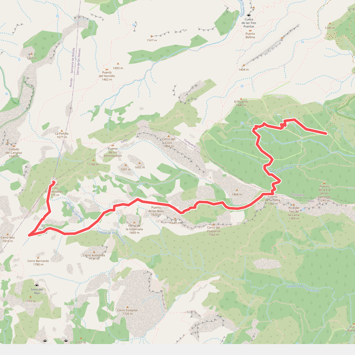
#1. Caucón - Peñón de los Enamorados
Yunquera,Tolox
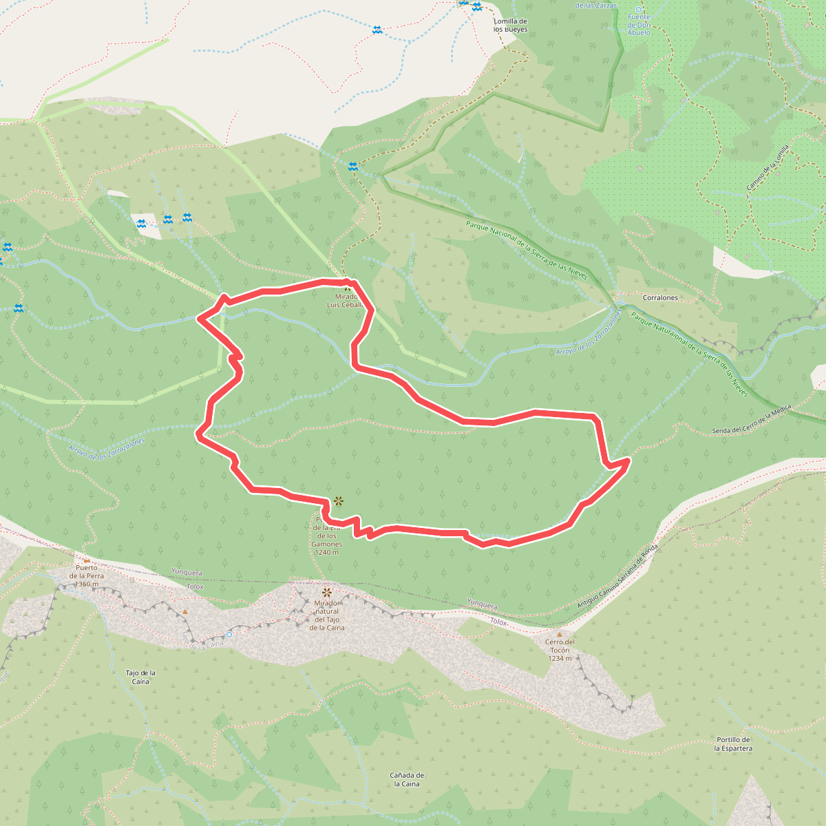
#2. Caucón - Tajo de la Caína
Yunquera
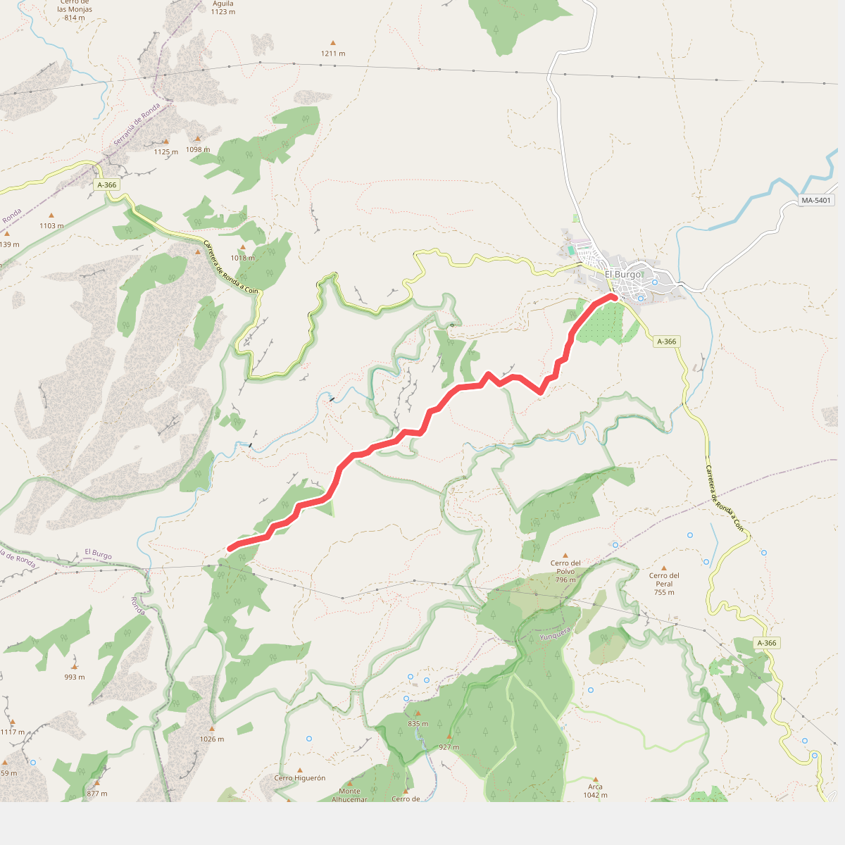
#3. El Burgo - Puerto de la Mujer
El Burgo
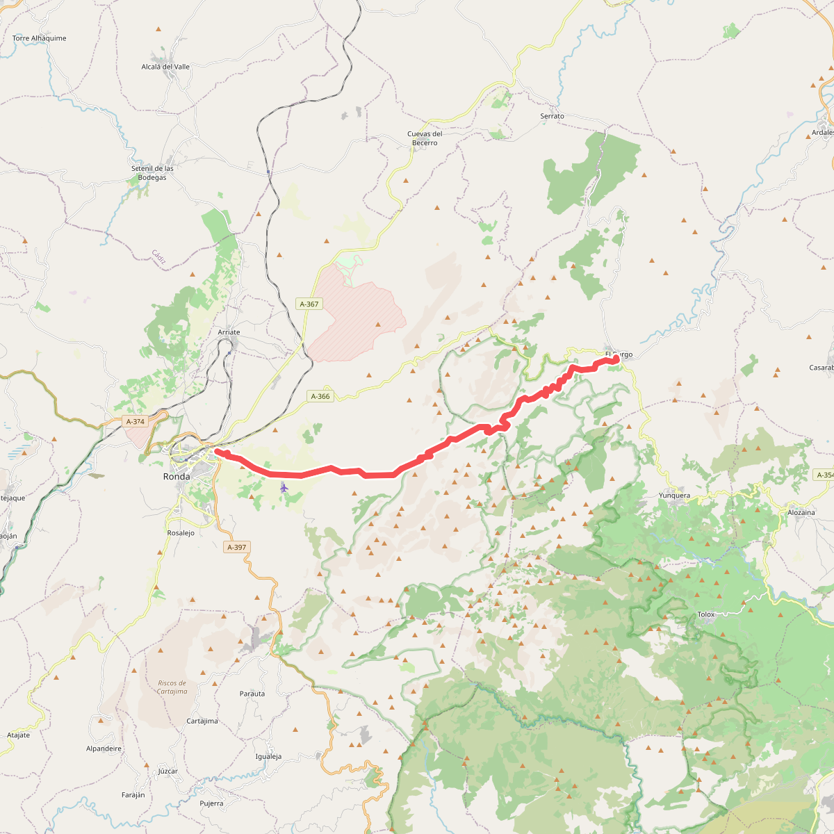
#4. El Burgo - Ronda
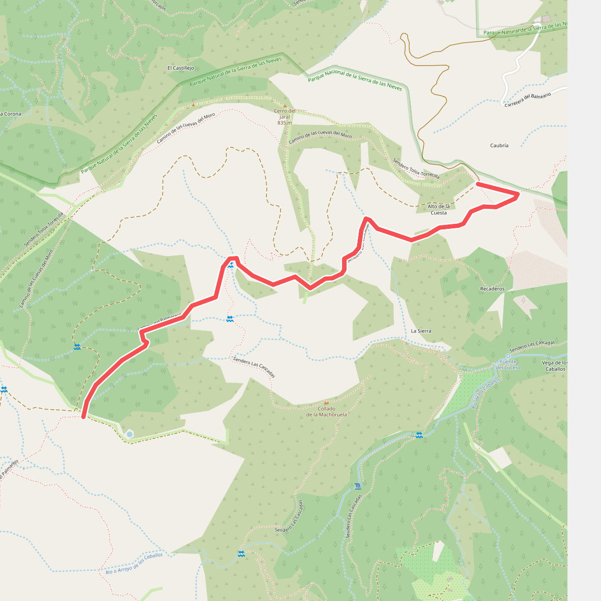
#5. La Rejía
Tolox
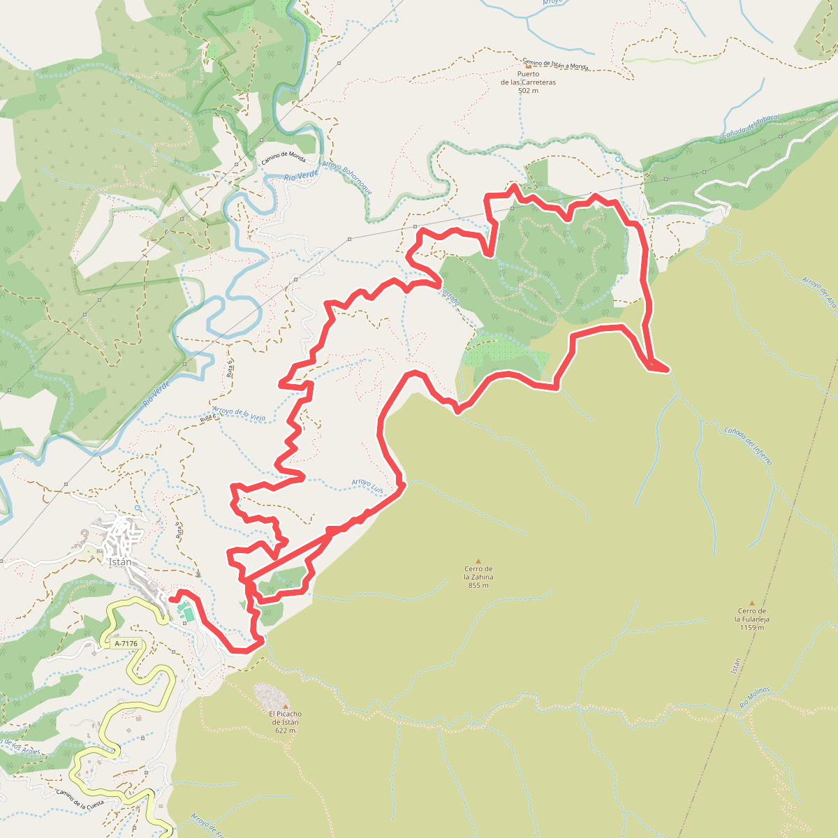
#6. PR-A 136 Istán - Cañada del Infierno
Istán
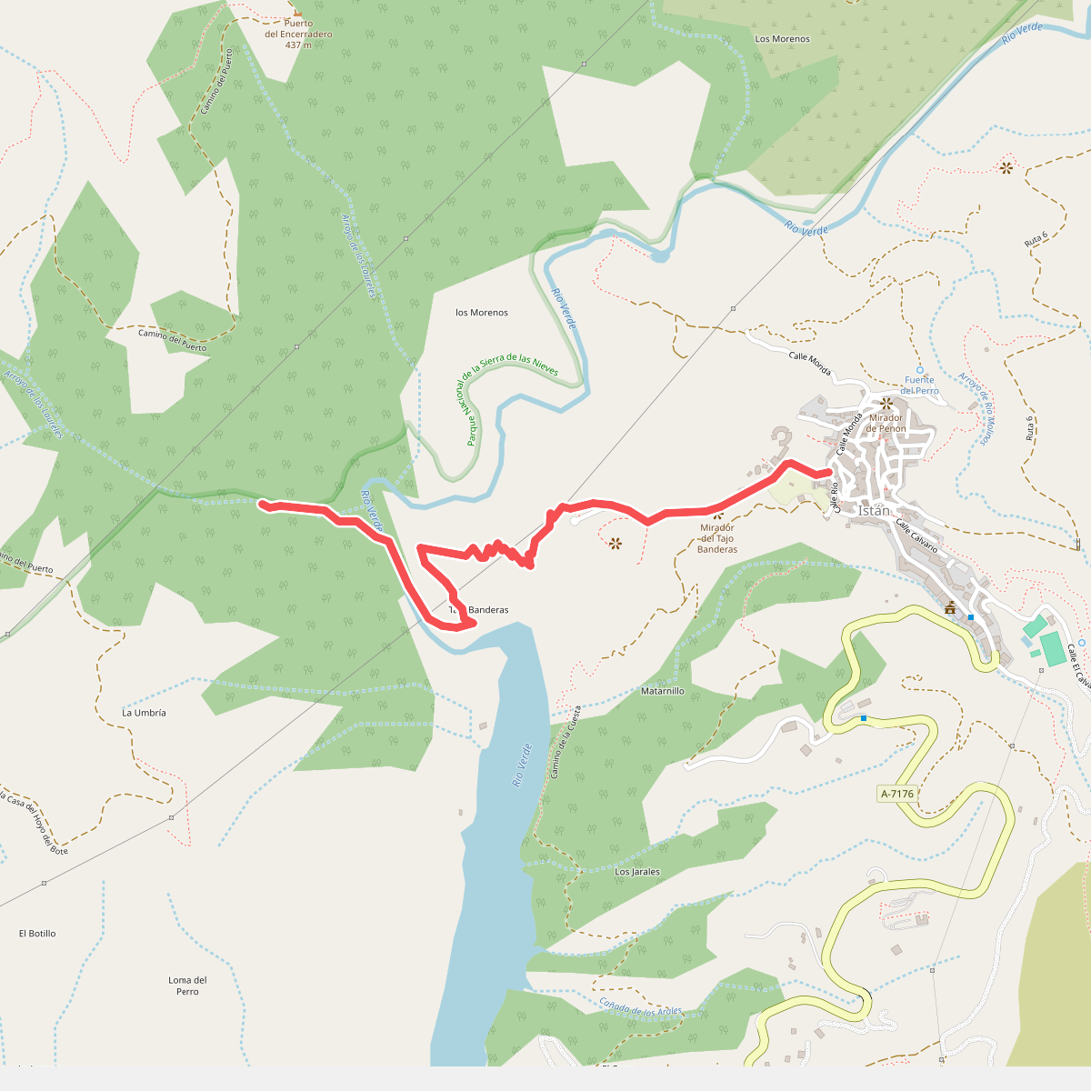
#7. PR-A 141 Cañada de los Laureles
Istán
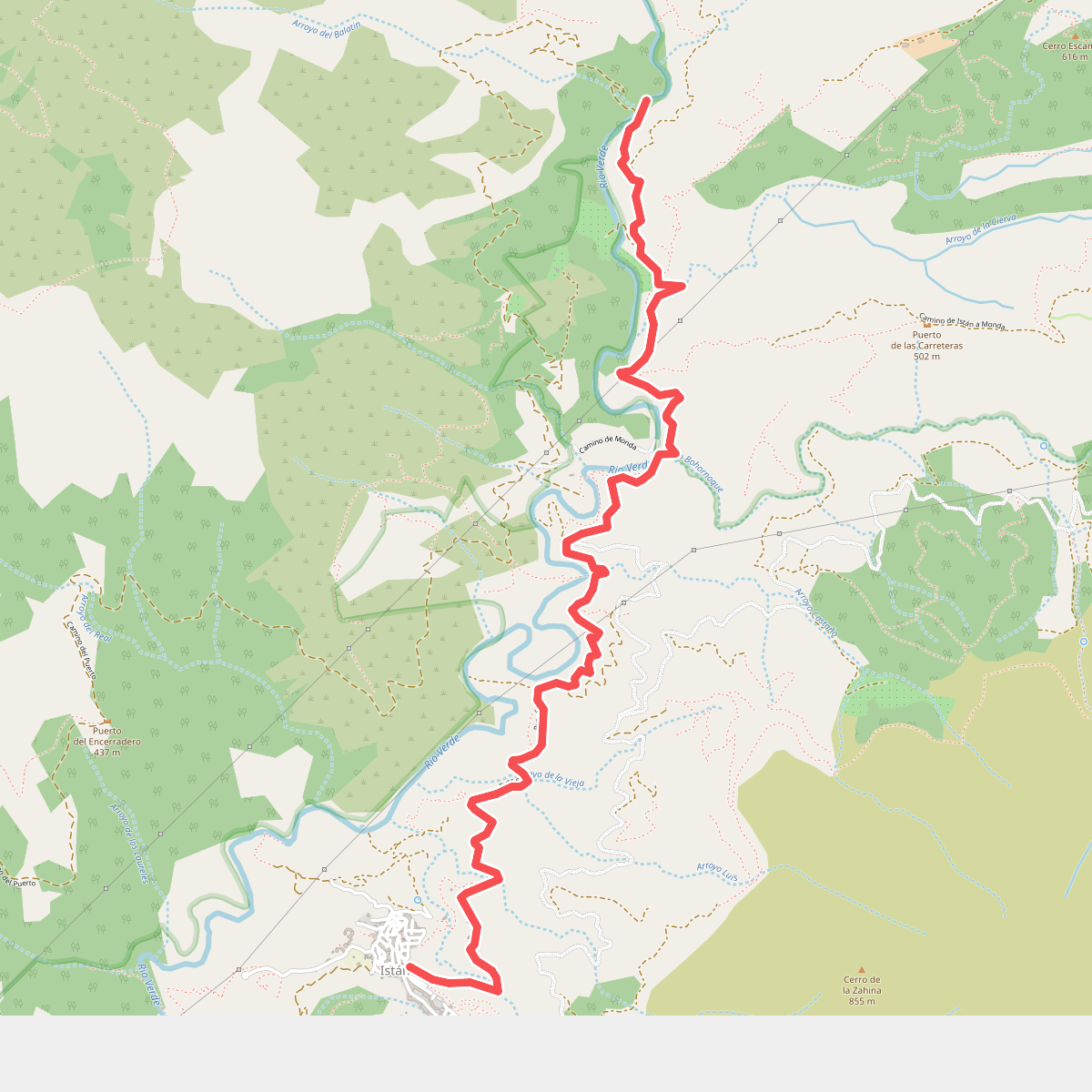
#8. PR-A 280 Charco del Canalón
Istán
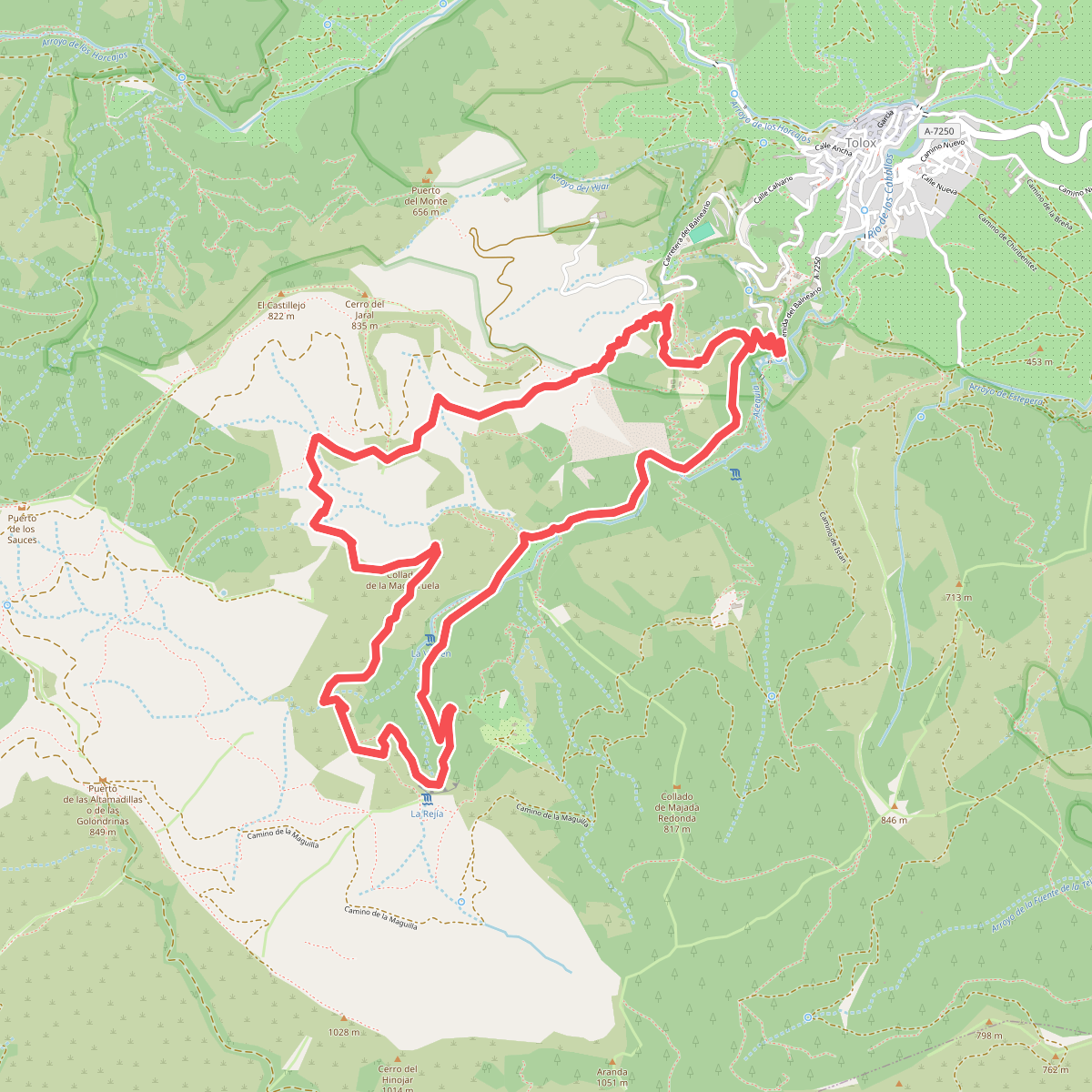
#9. PR-A 282 Las Cascadas
Tolox
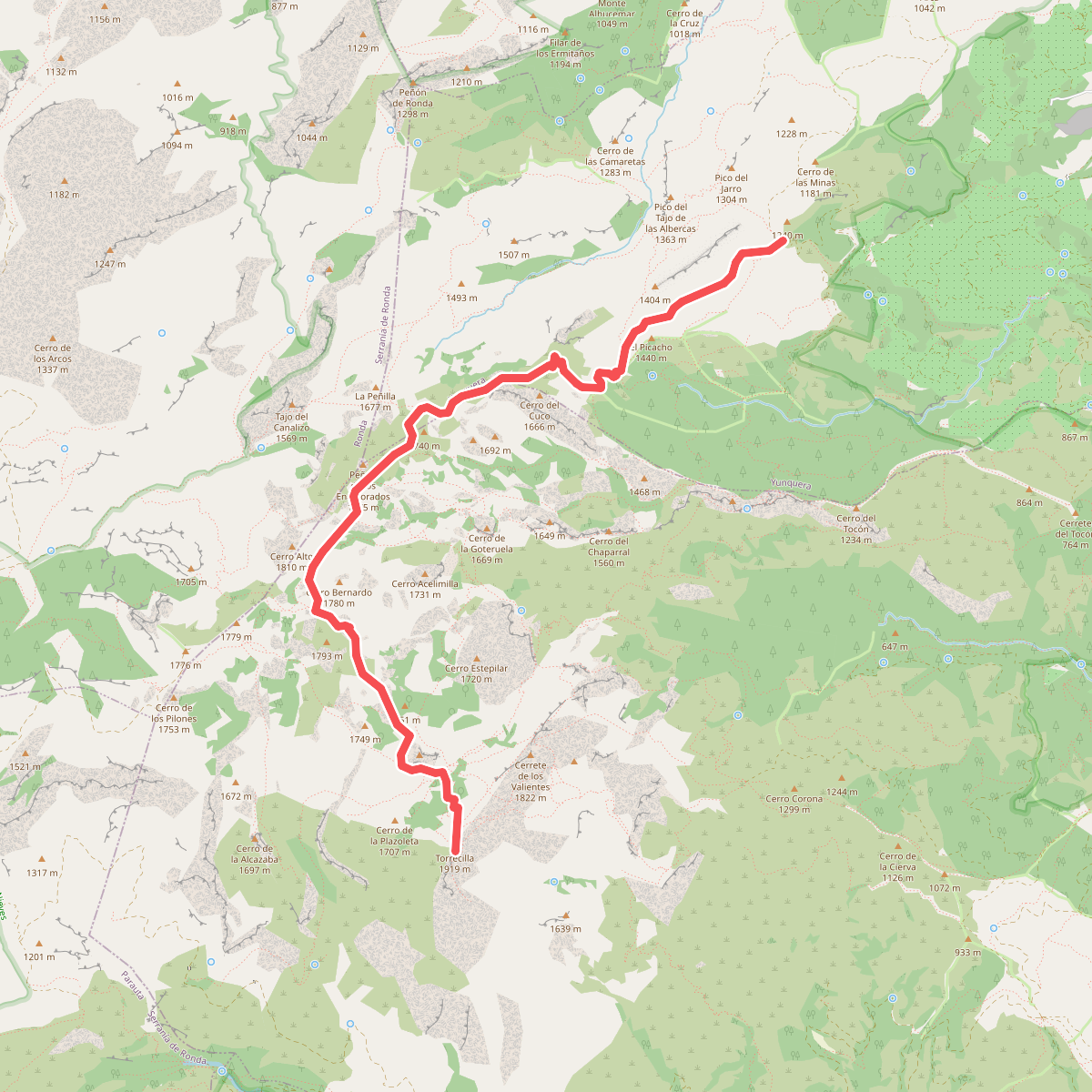
#10. PR-A 351 Puerto Saucillo - Torrecilla
Yunquera,Tolox
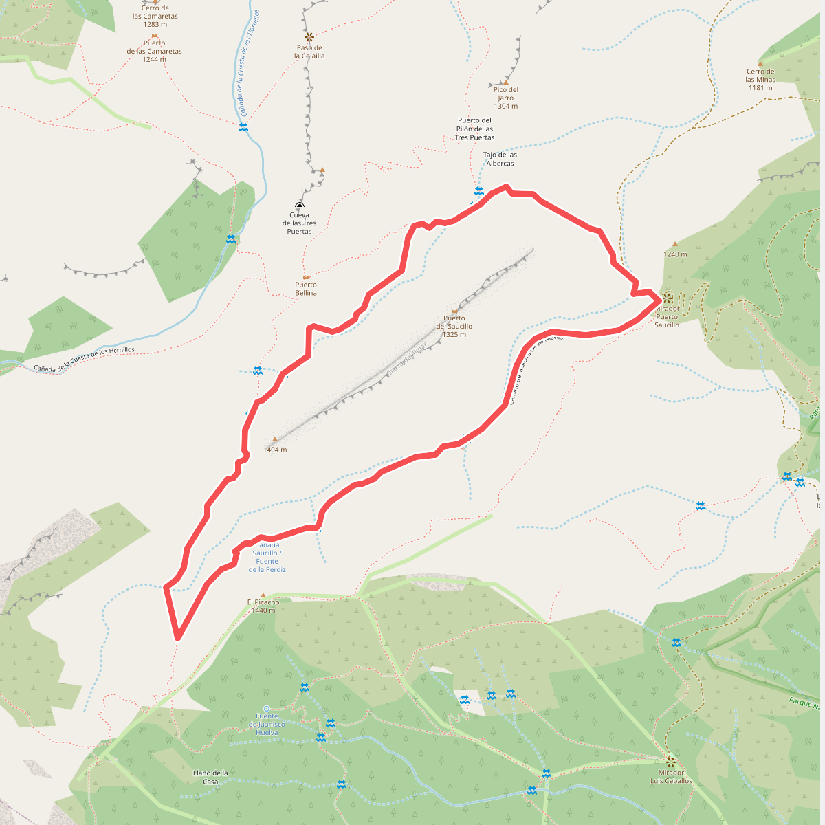
#11. PUERTO SAUCILLO-PUERTO BELLINA
Yunquera
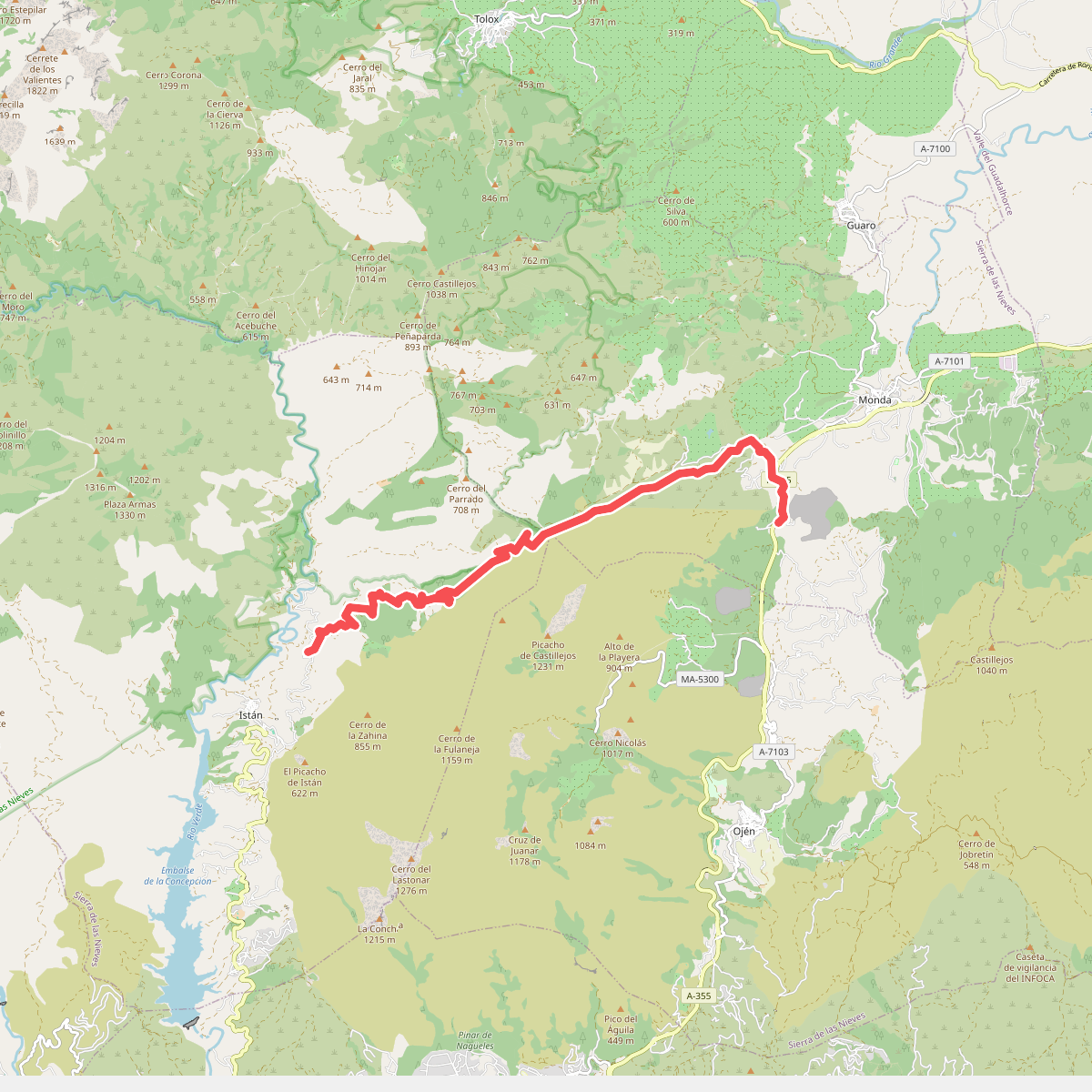
#12. Ruta 2 Istán-Monda
Istán,Monda



