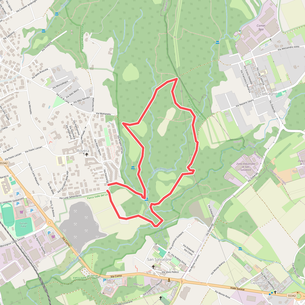
The best hiking routes in Parco Valle del Lanza
Discover the best walks in Parco Valle del Lanza. 6 routes on the map, with descriptions, photos and GPX.
About Parco Valle del Lanza
Parco Valle del Lanza offers a walk through a river valley landscape shaped by the Lanza stream, where the terrain transitions between damp alluvial woodland and open agricultural fields. Unlike the flatter plains nearby, this area is defined by gentle clay ravines, sandstone quarries, and terraced hillsides. The paths underfoot change quickly from soft, muddy earth near the water to firmer, gravelly tracks as you ascend the valley slopes. It is a working landscape where old mills and abandoned railway tracks sit alongside active farming plots.
Read more
About Parco Valle del Lanza
Parco Valle del Lanza offers a walk through a river valley landscape shaped by the Lanza stream, where the terrain transitions between damp alluvial woodland and open agricultural fields. Unlike the flatter plains nearby, this area is defined by gentle clay ravines, sandstone quarries, and terraced hillsides. The paths underfoot change quickly from soft, muddy earth near the water to firmer, gravelly tracks as you ascend the valley slopes. It is a working landscape where old mills and abandoned railway tracks sit alongside active farming plots.
Read moreParco Valle del Lanza offers a walk through a river valley landscape shaped by the Lanza stream, where the terrain transitions between damp alluvial woodland and open agricultural fields. Unlike the flatter plains nearby, this area is defined by gentle clay ravines, sandstone quarries, and terraced hillsides. The paths underfoot change quickly from soft, muddy earth near the water to firmer, gravelly tracks as you ascend the valley slopes. It is a working landscape where old mills and abandoned railway tracks sit alongside active farming plots.
Walking here means navigating a mix of shaded hornbeam and oak woods, damp meadows, and exposed ridges. The stream itself is a constant presence, though often hidden behind thick riparian vegetation. You will notice the distinct grey-yellow sandstone outcrops, known locally as Molera stone, which were historically quarried and now form small cliffs along some of the trail sections. These stone formations and the damp microclimate of the valley floor give the park a more enclosed, intimate feel than the surrounding Lombard countryside.
This park is best suited for those who enjoy quiet, unpaved paths and historical rural infrastructure rather than dramatic mountain vistas. The trails are generally easy to follow but can be uneven, with exposed tree roots and clay sections that retain moisture long after rain. While the areas near the main access points in Malnate and Valmorea see regular local foot traffic, the deeper wooded paths along the Swiss border offer a much quieter walking experience.
Hiking routes in Parco Valle del Lanza (6)
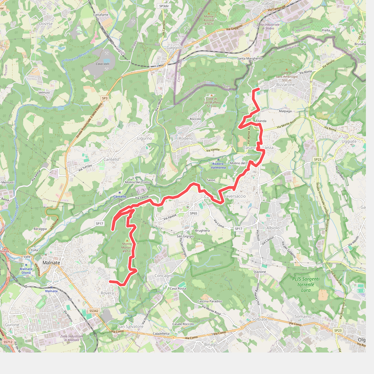
#1. Sentiero cima delle valli
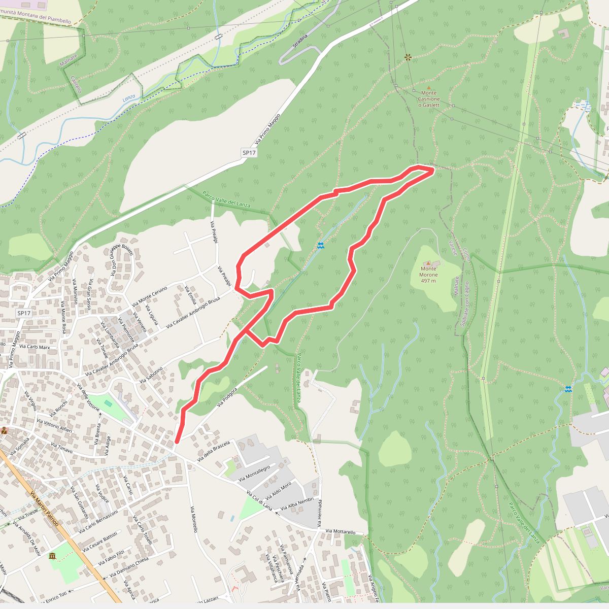
#2. Sentiero Fugascé
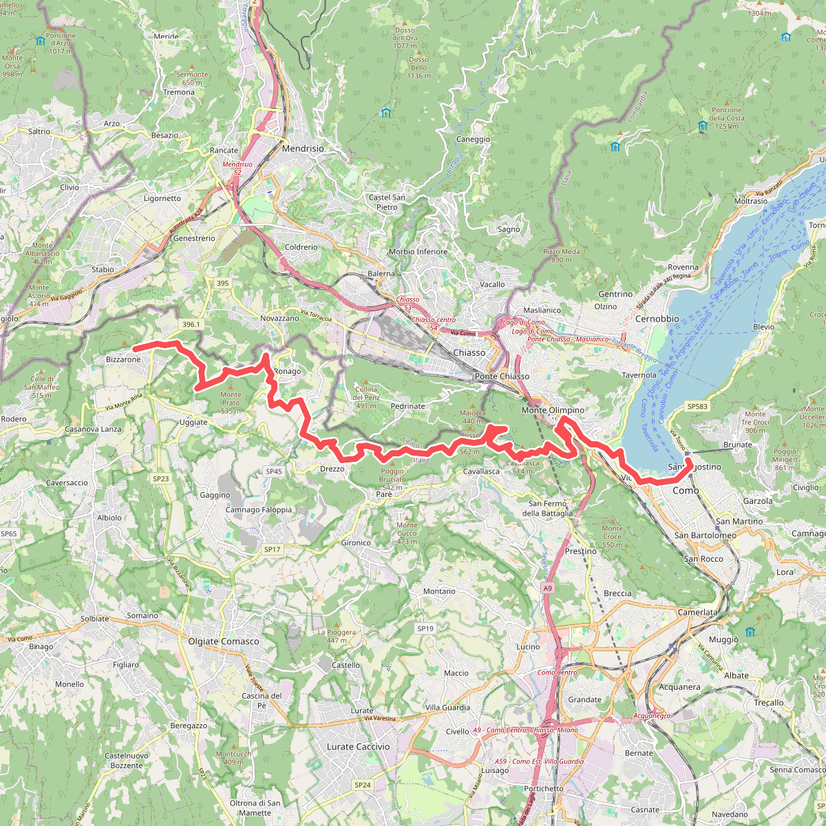
#3. Sentiero Italia · SI · SI
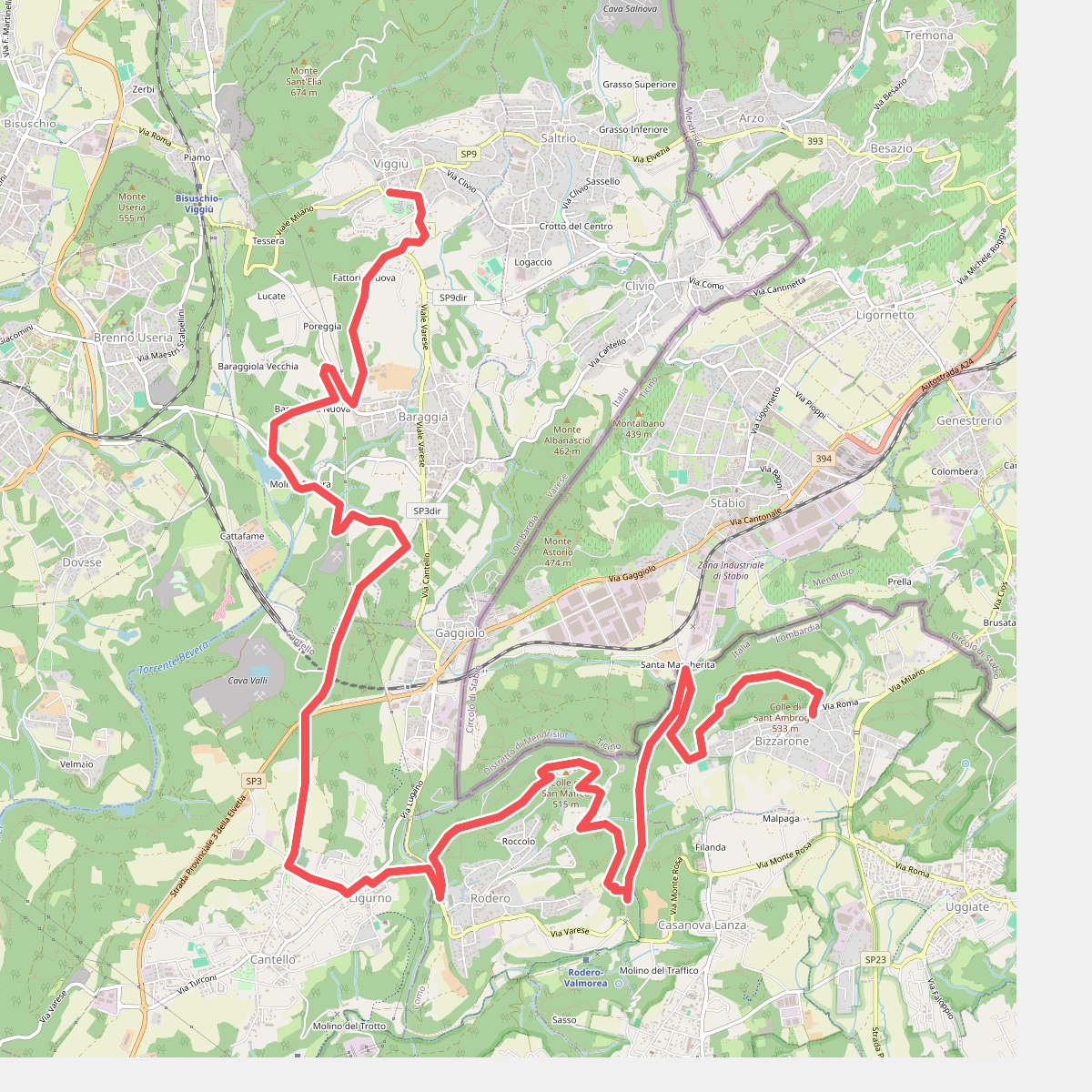
#4. Sentiero Italia · SI · SI
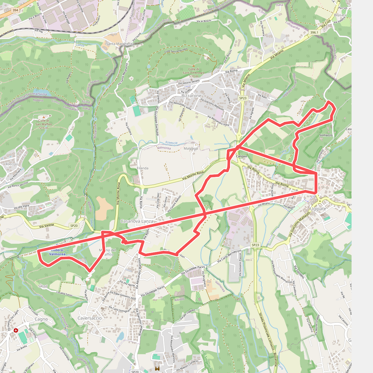
#5. Sentiero Lanza-Lura