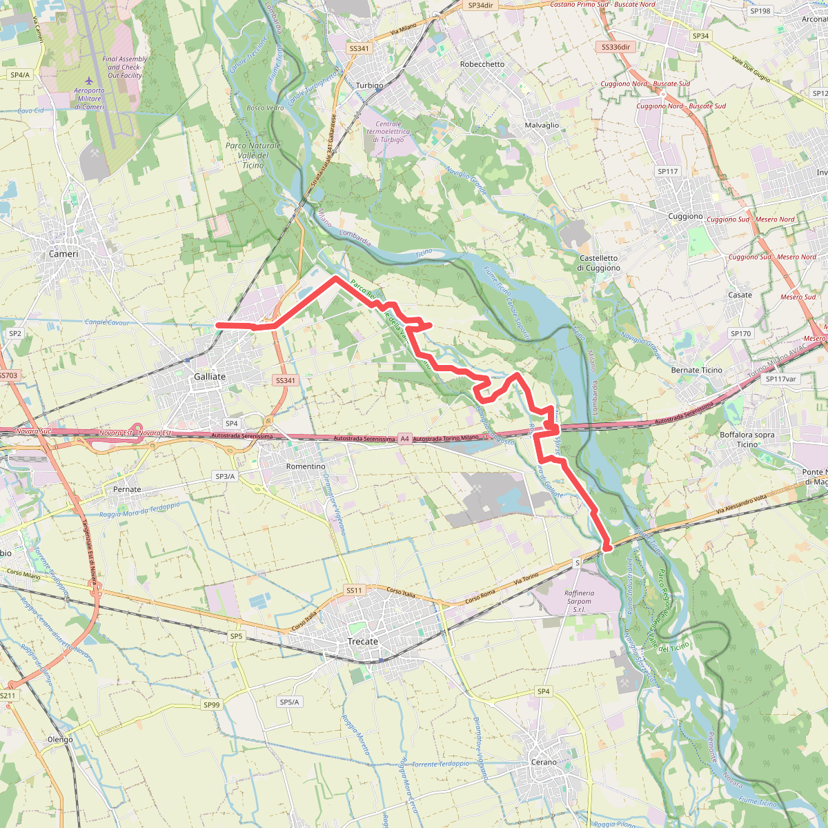
The best hiking routes in Parco Regionale della Valle del Ticino
Discover the best walks in Parco Regionale della Valle del Ticino. 13 routes on the map, with descriptions, photos and GPX.
About Parco Regionale della Valle del Ticino
The Parco Regionale della Valle del Ticino protects a wide river corridor that cuts through the flat agricultural plains of Lombardy and Piedmont. Unlike the surrounding farmed landscape, this area preserves a dynamic riverbed system shaped by the Ticino River. Walkers will find a distinct contrast between the dry, gravelly upper terraces dominated by oak and hornbeam woodlands, and the damp, low-lying alluvial forests closer to the water where willows and alders thrive. The terrain is flat to gently sloping, meaning there are no steep climbs or panoramic mountain views, but rather a close-up experience of a shifting riverine environment.
Read more
About Parco Regionale della Valle del Ticino
The Parco Regionale della Valle del Ticino protects a wide river corridor that cuts through the flat agricultural plains of Lombardy and Piedmont. Unlike the surrounding farmed landscape, this area preserves a dynamic riverbed system shaped by the Ticino River. Walkers will find a distinct contrast between the dry, gravelly upper terraces dominated by oak and hornbeam woodlands, and the damp, low-lying alluvial forests closer to the water where willows and alders thrive. The terrain is flat to gently sloping, meaning there are no steep climbs or panoramic mountain views, but rather a close-up experience of a shifting riverine environment.
Read moreThe Parco Regionale della Valle del Ticino protects a wide river corridor that cuts through the flat agricultural plains of Lombardy and Piedmont. Unlike the surrounding farmed landscape, this area preserves a dynamic riverbed system shaped by the Ticino River. Walkers will find a distinct contrast between the dry, gravelly upper terraces dominated by oak and hornbeam woodlands, and the damp, low-lying alluvial forests closer to the water where willows and alders thrive. The terrain is flat to gently sloping, meaning there are no steep climbs or panoramic mountain views, but rather a close-up experience of a shifting riverine environment.
Underfoot, the paths vary significantly depending on your proximity to the main river channel. You will mostly walk on wide dirt tracks, sandy paths that can feel soft, and stony gravel beds left behind by seasonal high waters. In the lower wetlands, wooden footbridges and damp earth tracks cross old oxbow lakes and slow-moving side channels. The landscape is defined by these watercourses, where you can observe how the river constantly reshapes its banks, leaving gravel bars and fallen trees in its wake.
While the park is a green escape near major urban areas, the experience changes depending on where you access it. The northern sections closer to Lake Maggiore feature steeper river terraces and swifter waters, while the southern stretches near the Po confluence flatten into wide, slow-moving channels and agricultural edges. Well-known access points near historic bridges can be busy on spring weekends, but the extensive network of forest tracks offers quieter walking options for those who head deeper into the woodland zones.
Hiking routes in Parco Regionale della Valle del Ticino (13)
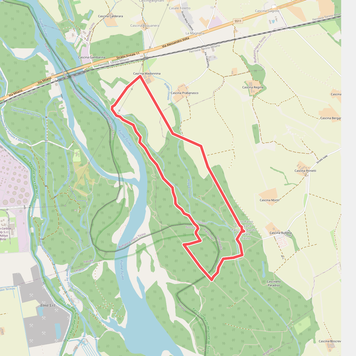
#1. Anello Nord Fagiana
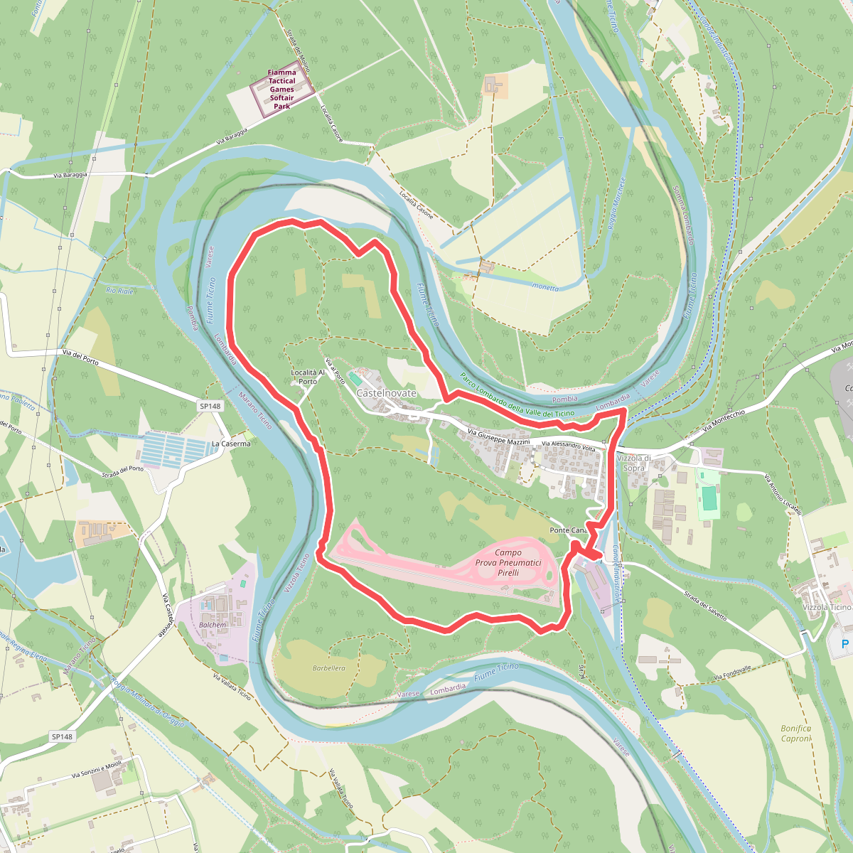
#2. Ansa di Castelnovate
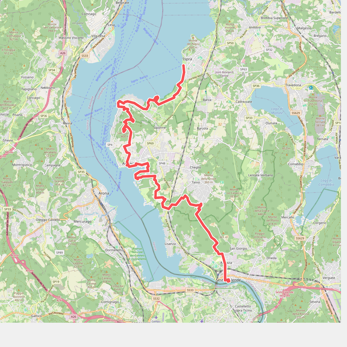
#3. Cammino del Lago Maggiore
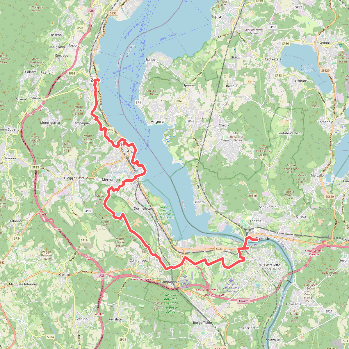
#4. Cammino del Lago Maggiore
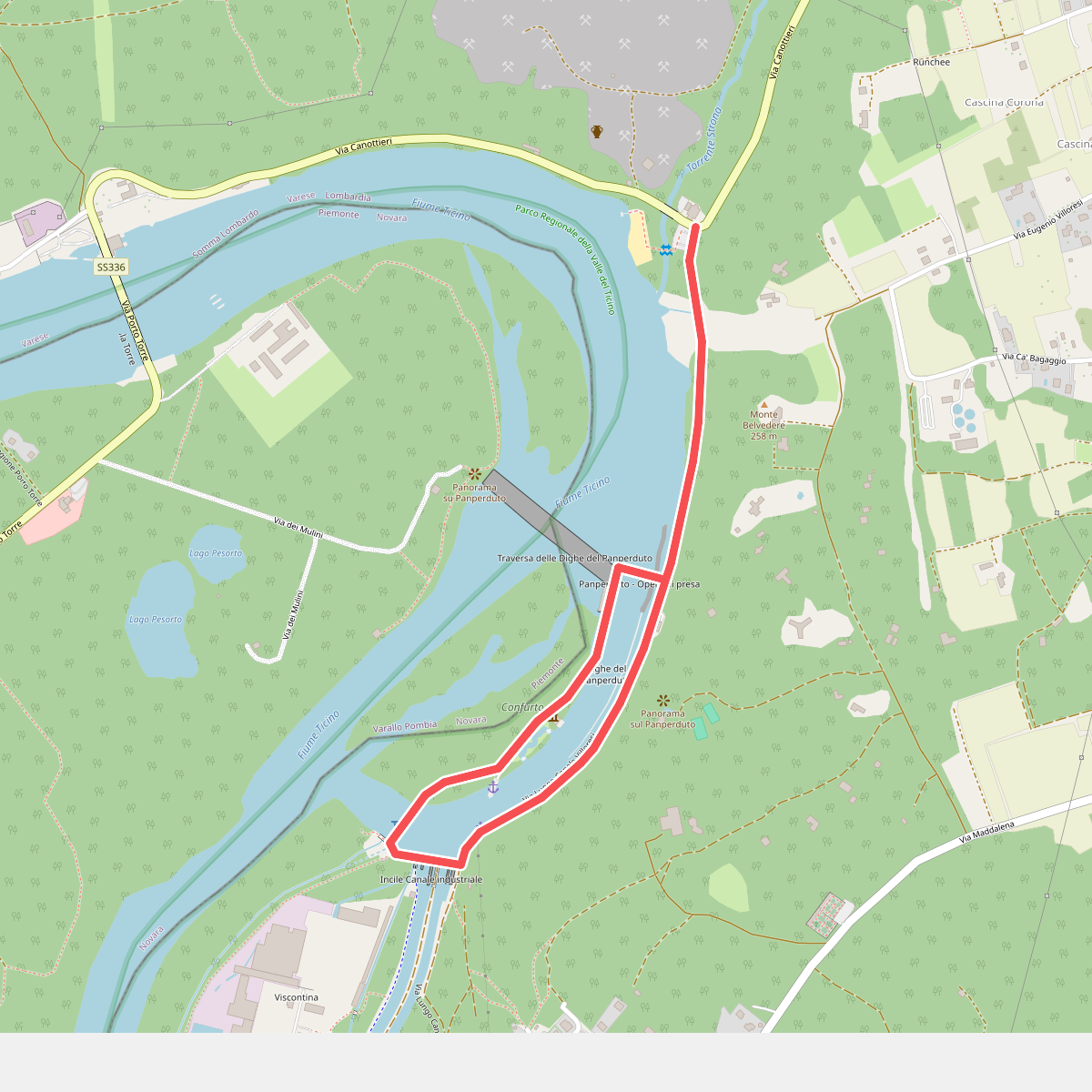
#5. Dighe del Panperduto
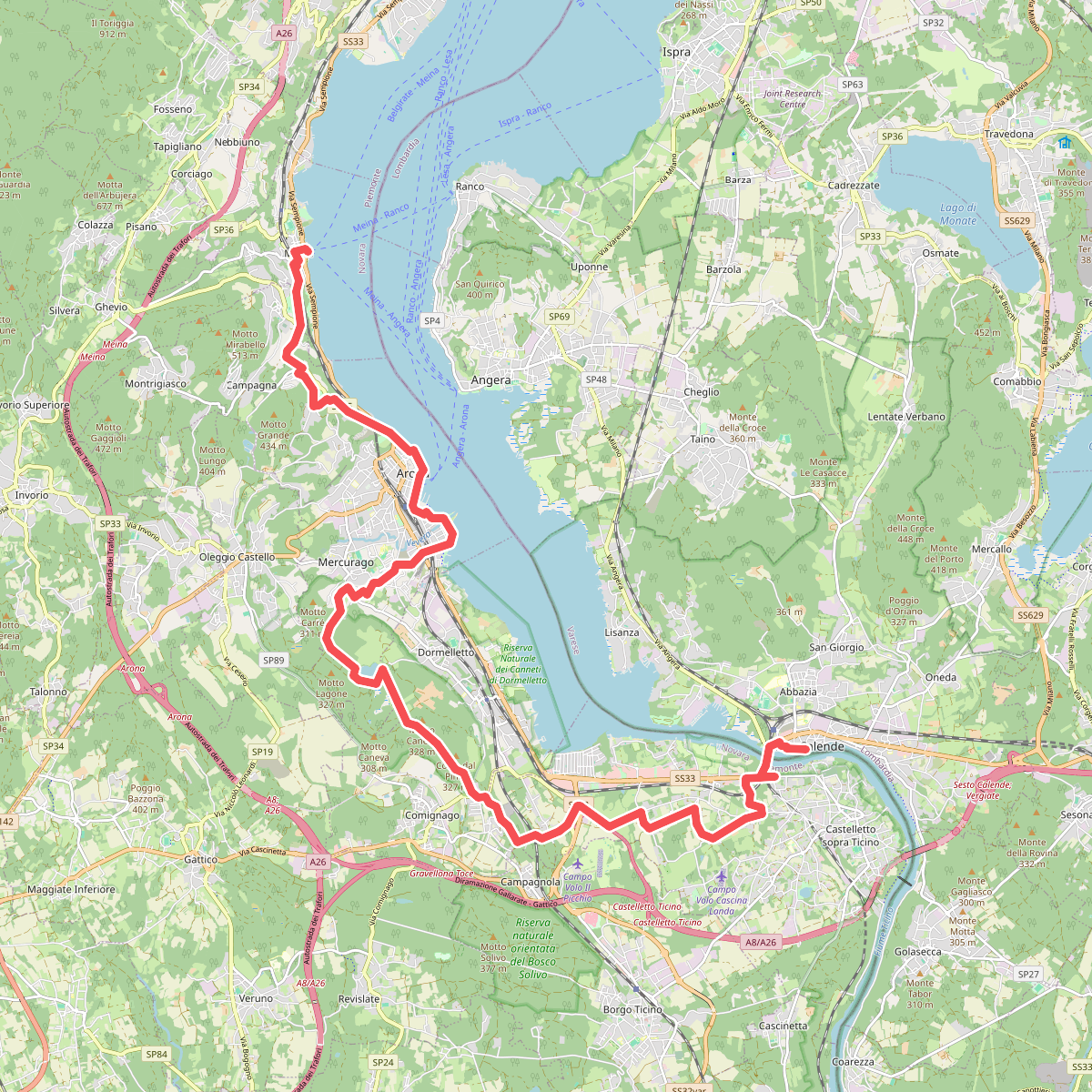
#6. Grand Tour del Lago Maggiore ® - Tappa 3 - Meina - Sesto Calende
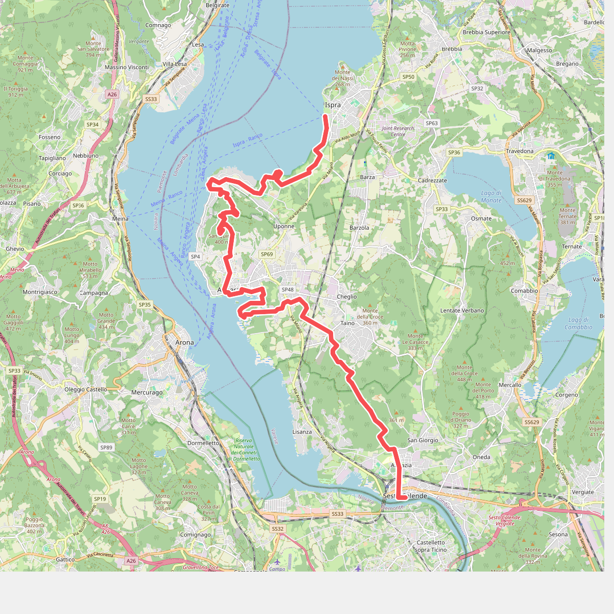
#7. Grand Tour del Lago Maggiore ® - Tappa 4 - Sesto Calende - lspra
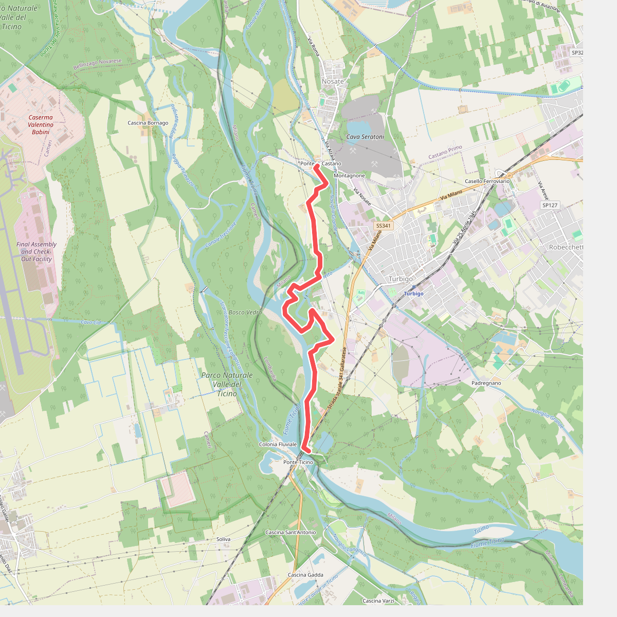
#8. Ponte tibetano
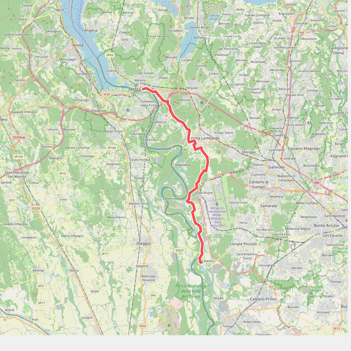
#9. Sentiero dell' Ipposidra
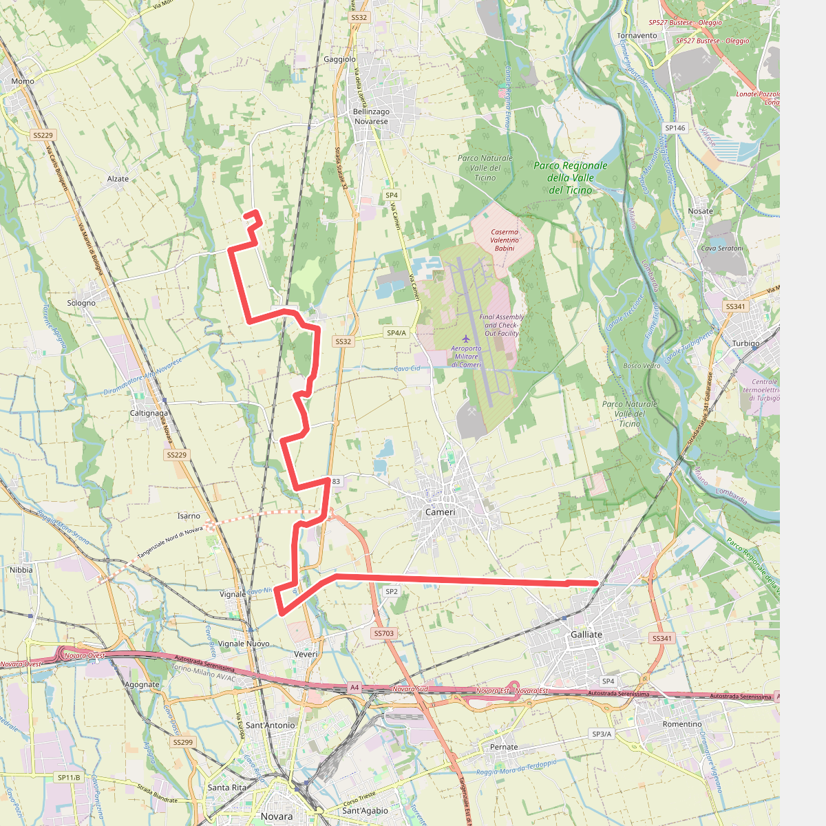
#10. Sentiero Novara tappa 10
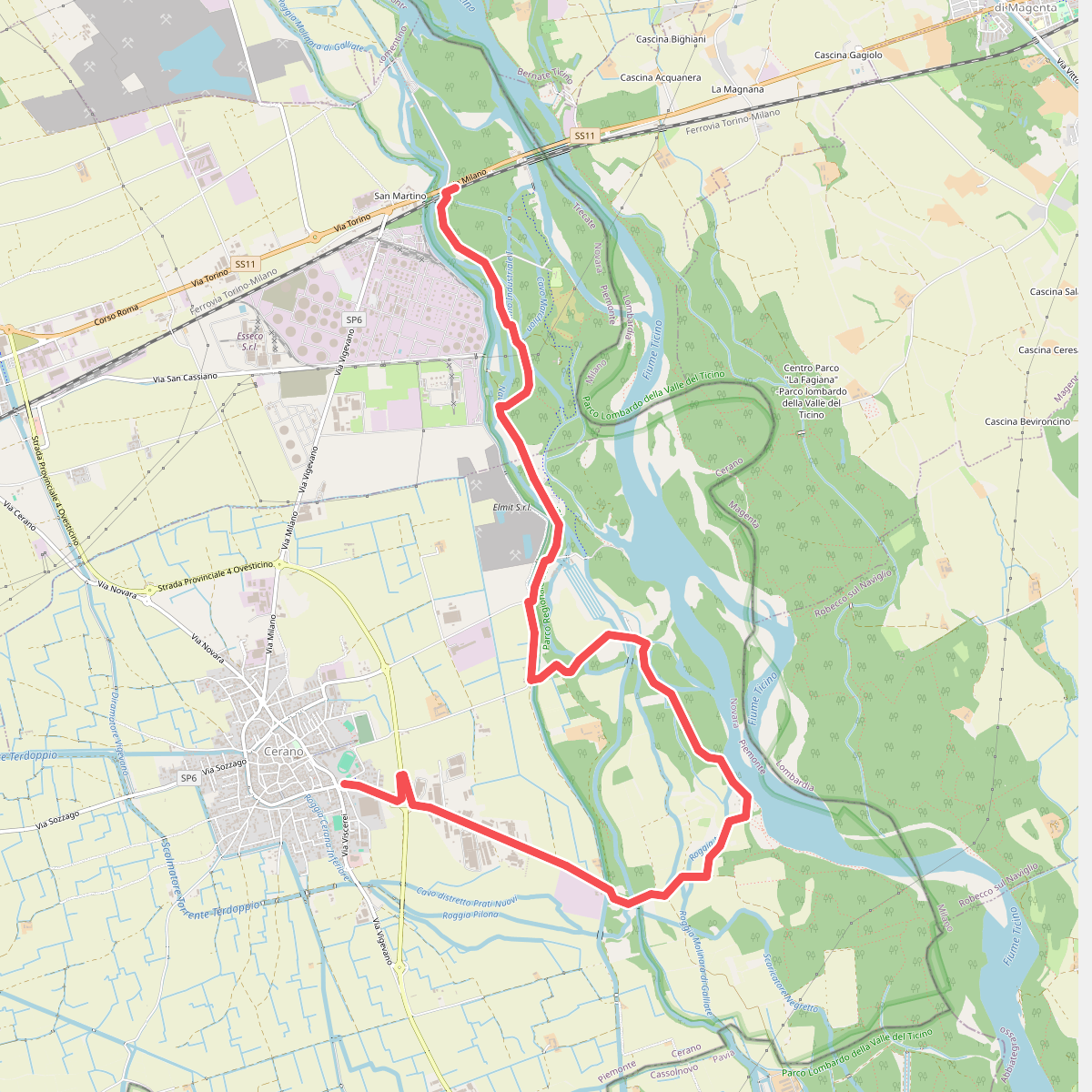
#11. Sentiero Novara tappa 8