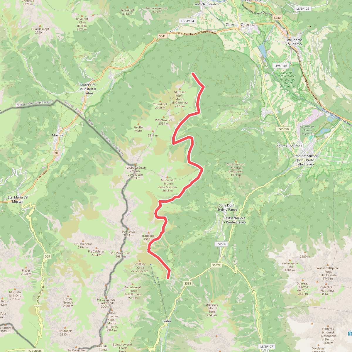
The best hiking routes in Parco Nazionale dello Stelvio - Nationalpark Stilfser Joch
Discover the best walks in Parco Nazionale dello Stelvio - Nationalpark Stilfser Joch. 91 routes on the map, with descriptions, photos and GPX.
About Parco Nazionale dello Stelvio - Nationalpark Stilfser Joch
Parco Nazionale dello Stelvio - Nationalpark Stilfser Joch is defined by its extreme vertical scale, spanning from deep larch forests up to the glaciated high-altitude terrain of the Ortler-Cevedale group. Walkers here must choose between two distinct environments. The lower valleys features well-graded dirt tracks and paths through dense woodland, where the sound of rushing meltwater streams is constant. Higher up, above the tree line, the landscape shifts abruptly to steep, rocky scree slopes, moraines, and exposed alpine meadows where the paths become narrow, stony, and demanding.
Read more
About Parco Nazionale dello Stelvio - Nationalpark Stilfser Joch
Parco Nazionale dello Stelvio - Nationalpark Stilfser Joch is defined by its extreme vertical scale, spanning from deep larch forests up to the glaciated high-altitude terrain of the Ortler-Cevedale group. Walkers here must choose between two distinct environments. The lower valleys features well-graded dirt tracks and paths through dense woodland, where the sound of rushing meltwater streams is constant. Higher up, above the tree line, the landscape shifts abruptly to steep, rocky scree slopes, moraines, and exposed alpine meadows where the paths become narrow, stony, and demanding.
Read moreParco Nazionale dello Stelvio - Nationalpark Stilfser Joch is defined by its extreme vertical scale, spanning from deep larch forests up to the glaciated high-altitude terrain of the Ortler-Cevedale group. Walkers here must choose between two distinct environments. The lower valleys features well-graded dirt tracks and paths through dense woodland, where the sound of rushing meltwater streams is constant. Higher up, above the tree line, the landscape shifts abruptly to steep, rocky scree slopes, moraines, and exposed alpine meadows where the paths become narrow, stony, and demanding.
Unlike gentler mountain areas, the terrain here is shaped by active glacial retreat and steep gradients. On the trail, you will notice how the vegetation thins out rapidly, leaving a grey and white world of limestone and crystalline rock. Underfoot, the paths transition from soft forest loam and pine needles to loose shale, coarse gravel, and occasional snow patches that persist well into July on the higher passes. Signposting is consistent, but the physical effort required to gain altitude is considerable.
Choosing where to walk depends on your comfort with steep climbs. The valleys of Martell, Ultental, or Peio offer gentler walks along historic irrigation channels and through alpine pastures. In contrast, the high-altitude routes around the Stelvio Pass itself put you directly into a barren, wind-scoured landscape of rock and ice, where the scale of the peaks dominates every view. The well-known trails near the main road passes see regular foot traffic, while the deeper, lateral valleys offer a much more solitary walking experience.
Hiking routes in Parco Nazionale dello Stelvio - Nationalpark Stilfser Joch (91)
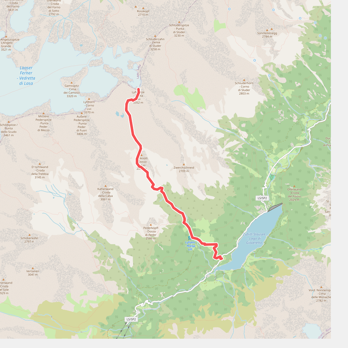
#1. 10
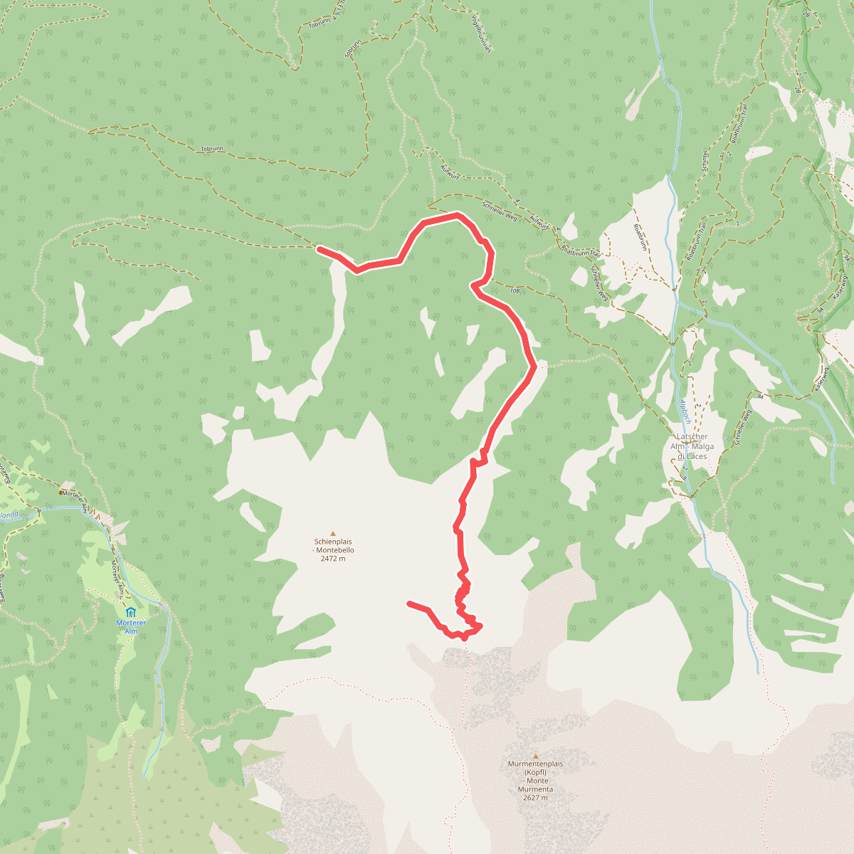
#2. 10
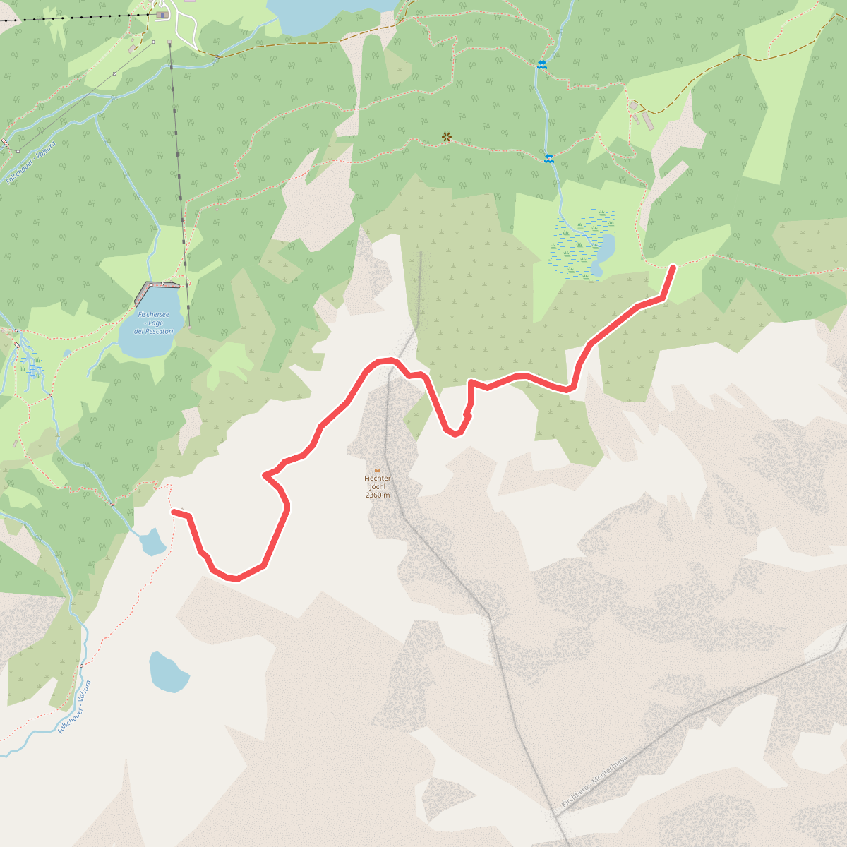
#3. 104
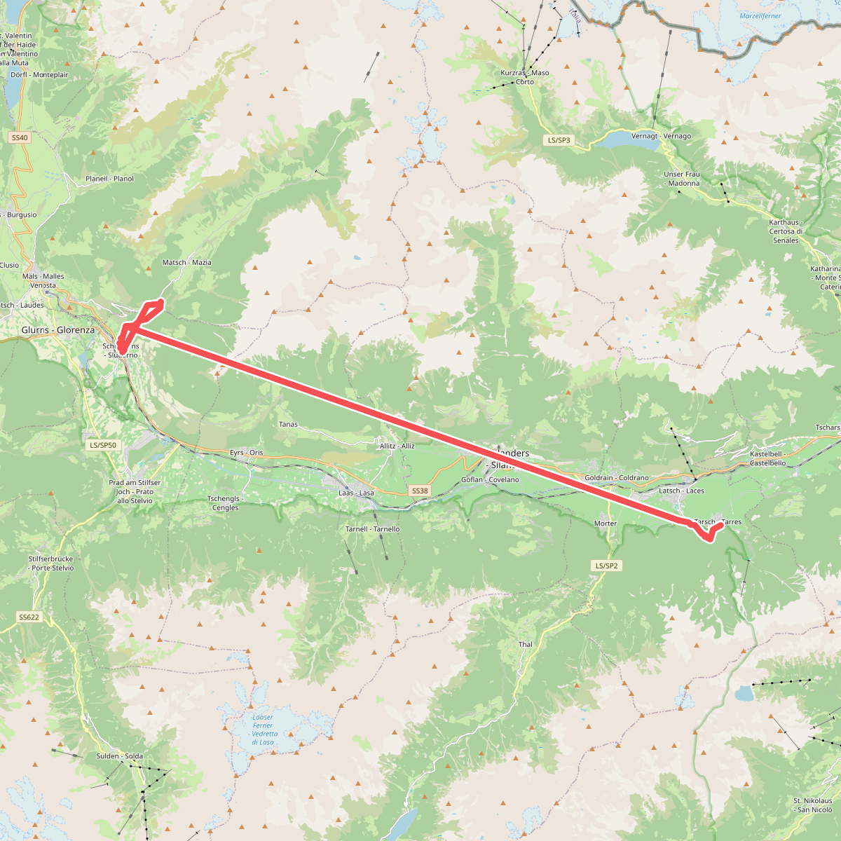
#4. 18
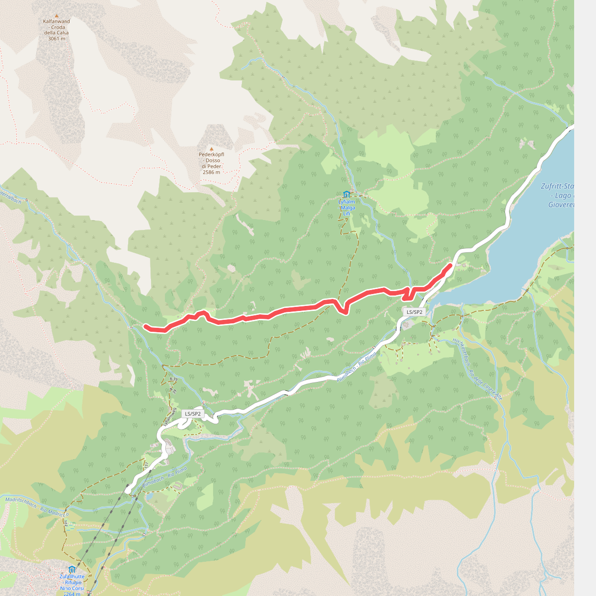
#5. 20A
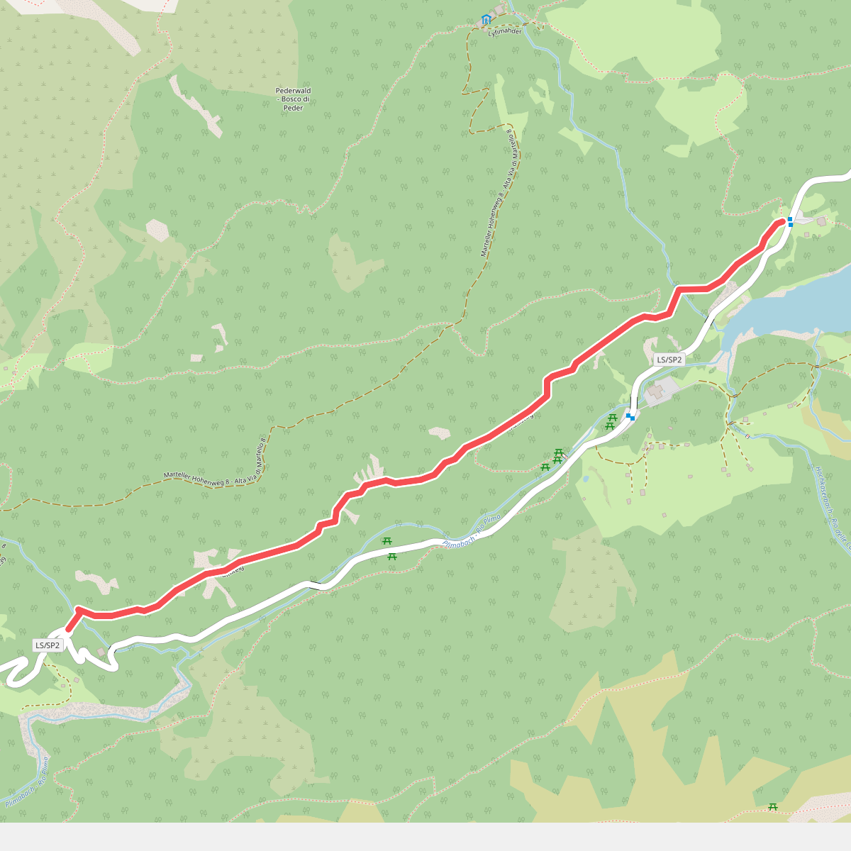
#6. 38
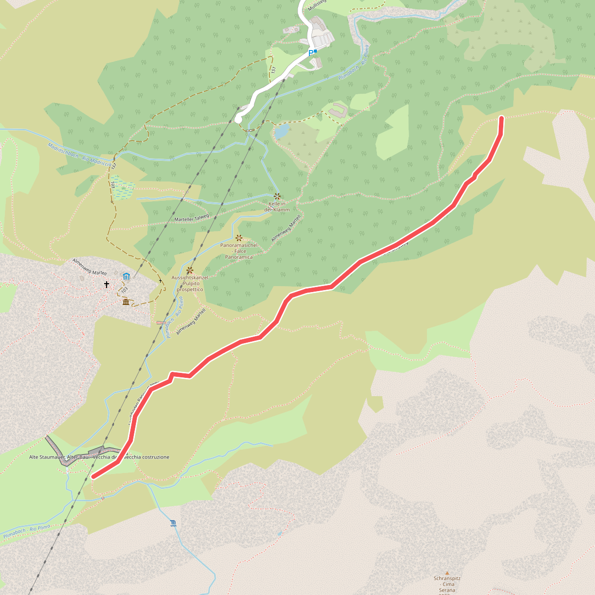
#7. 40
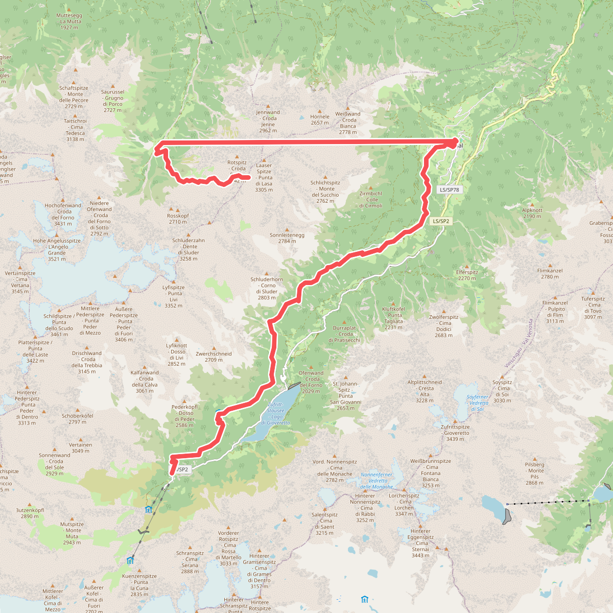
#8. 8
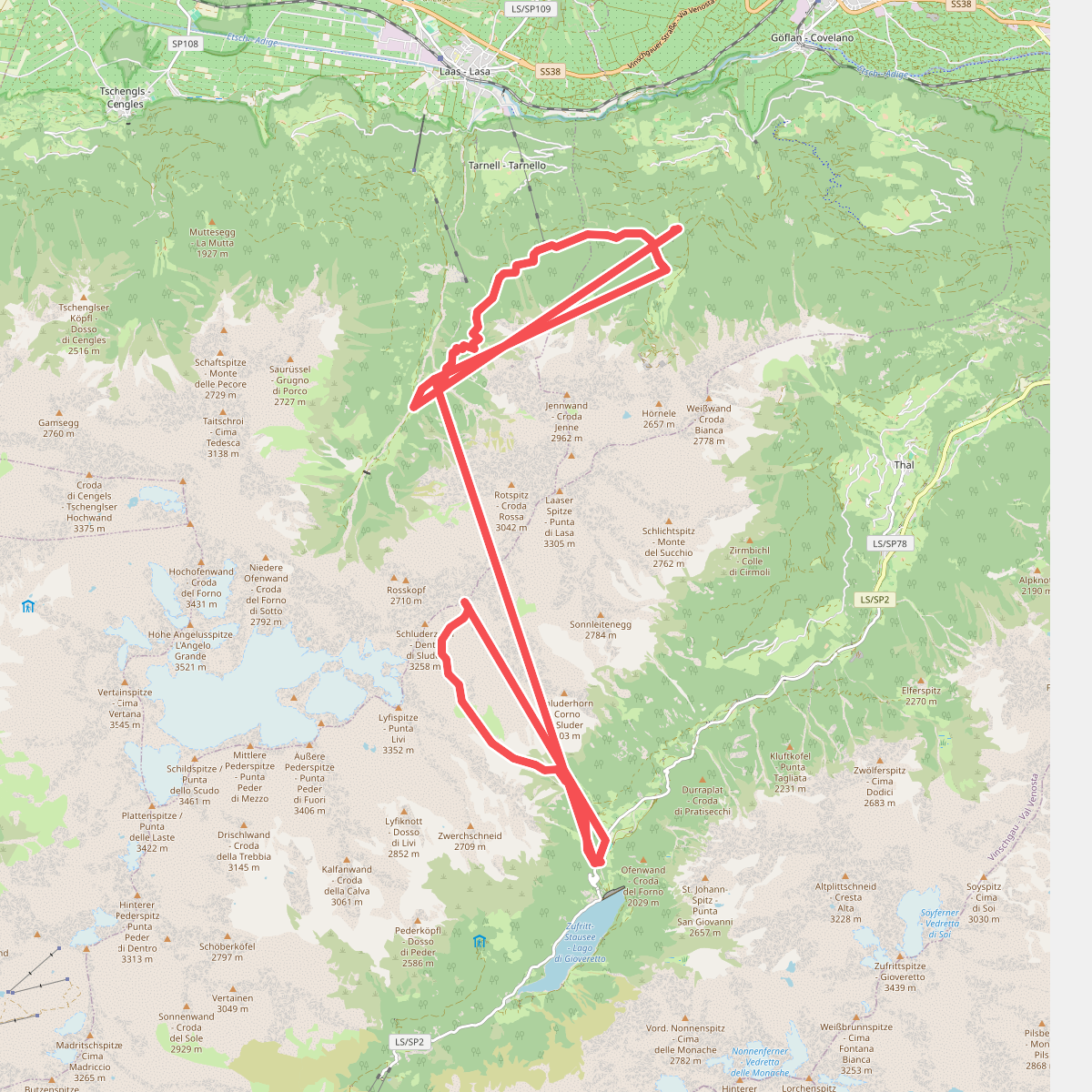
#9. 9
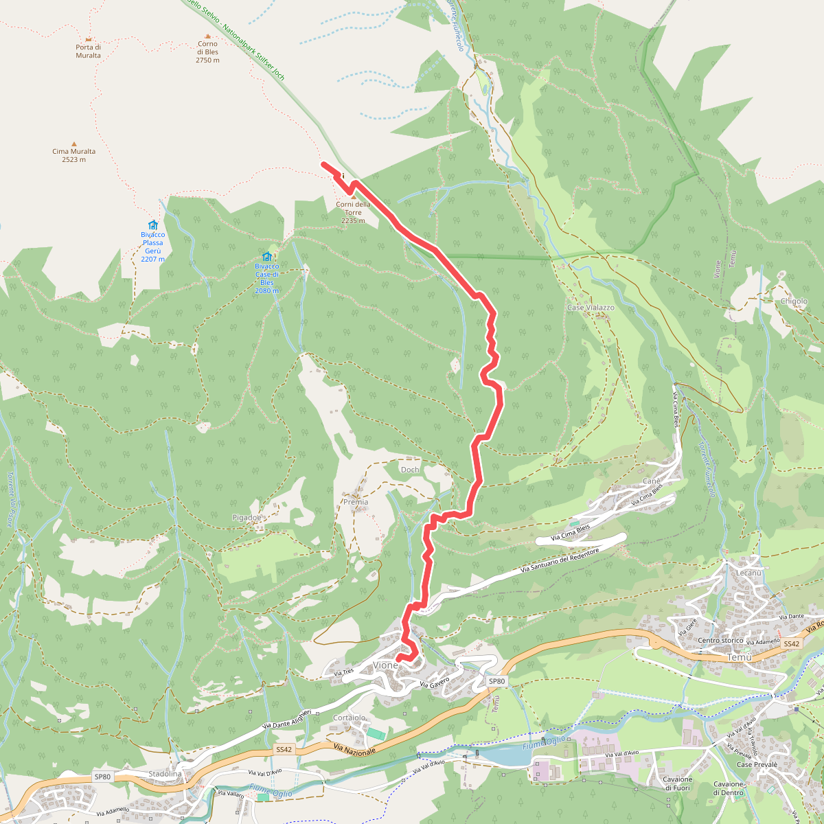
#10. Adamello Vertical kilometer
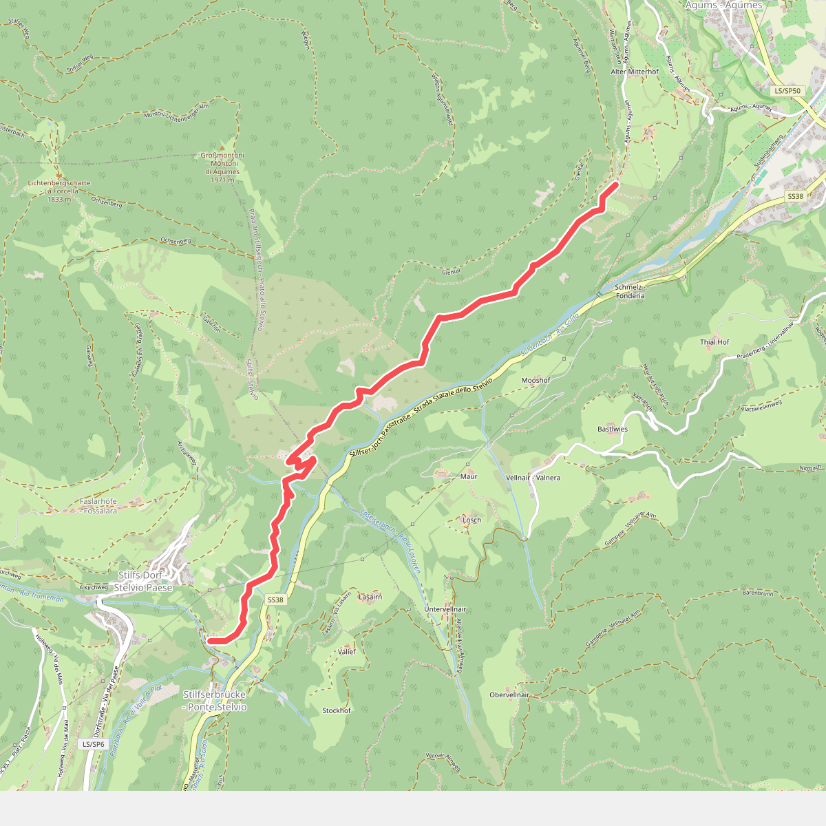
#11. Agumser Bergwaal