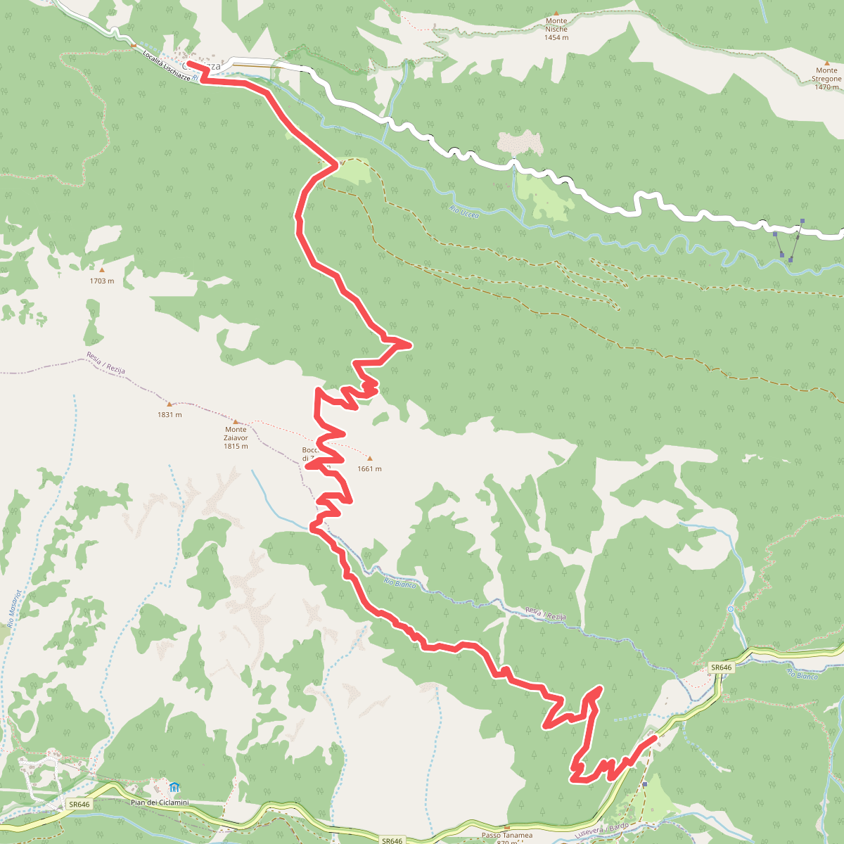
The best hiking routes in Parco naturale regionale delle Prealpi Giulie / Parc naturâl regjonâl des Prealps Juliis
Discover the best walks in Parco naturale regionale delle Prealpi Giulie / Parc naturâl regjonâl des Prealps Juliis. 27 routes on the map, with descriptions, photos and GPX.
About Parco naturale regionale delle Prealpi Giulie / Parc naturâl regjonâl des Prealps Juliis
The Parco naturale regionale delle Prealpi Giulie / Parc naturâl regjonâl des Prealps Juliis covers a steep, limestone-dominated landscape where the southern Alps meet the Adriatic influence. Walkers will find a sharp contrast between the dry, barren karst plateaus of the Kanin range and the dense, humid beech and spruce forests of the Resia and Uccea valleys. The terrain is characterized by deep gorges, exposed limestone pavements, and active scree slopes, meaning paths are often rocky, uneven, and steep underfoot rather than soft forest tracks.
Read more
About Parco naturale regionale delle Prealpi Giulie / Parc naturâl regjonâl des Prealps Juliis
The Parco naturale regionale delle Prealpi Giulie / Parc naturâl regjonâl des Prealps Juliis covers a steep, limestone-dominated landscape where the southern Alps meet the Adriatic influence. Walkers will find a sharp contrast between the dry, barren karst plateaus of the Kanin range and the dense, humid beech and spruce forests of the Resia and Uccea valleys. The terrain is characterized by deep gorges, exposed limestone pavements, and active scree slopes, meaning paths are often rocky, uneven, and steep underfoot rather than soft forest tracks.
Read moreThe Parco naturale regionale delle Prealpi Giulie / Parc naturâl regjonâl des Prealps Juliis covers a steep, limestone-dominated landscape where the southern Alps meet the Adriatic influence. Walkers will find a sharp contrast between the dry, barren karst plateaus of the Kanin range and the dense, humid beech and spruce forests of the Resia and Uccea valleys. The terrain is characterized by deep gorges, exposed limestone pavements, and active scree slopes, meaning paths are often rocky, uneven, and steep underfoot rather than soft forest tracks.
Water plays a central role in shaping what you see along the trail. While the high-altitude karst zones are completely dry on the surface due to underground drainage, the valley floors feature rushing mountain torrents and springs that emerge abruptly from the rock. This creates distinct microclimates; a walk can transition quickly from cold, shaded ravine floors to hot, exposed south-facing slopes where sub-Mediterranean vegetation grows alongside alpine wildflowers.
This is a demanding walking area where flat ground is rare. Trails are typically steep, narrow, and require careful footwork over loose stones and exposed roots, though some lower-altitude paths follow old military mule tracks from the First World War. In June, the high meadows of the park are marked by a sudden, intense flowering of alpine species, while the autumn months of October and November bring deep color to the beech forests of the Resia valley.
Hiking routes in Parco naturale regionale delle Prealpi Giulie / Parc naturâl regjonâl des Prealps Juliis (27)
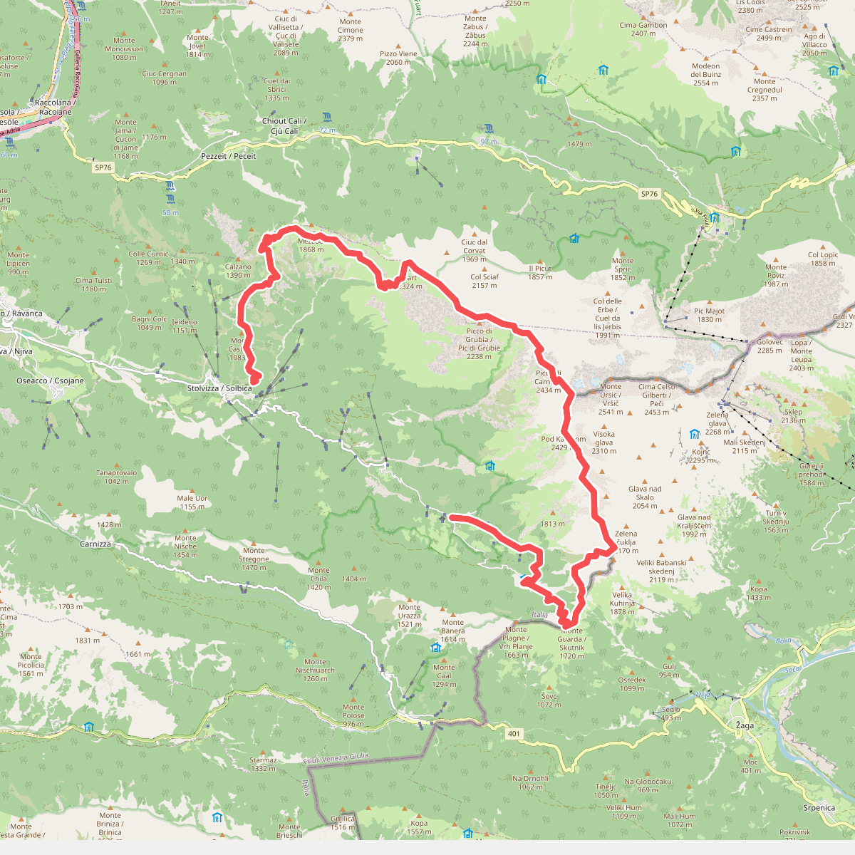
#1. Alta Via Resiana
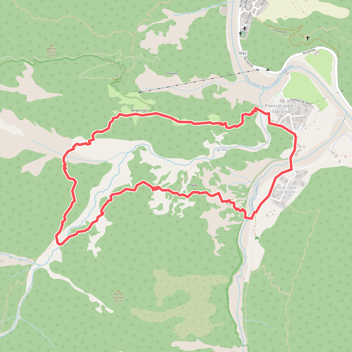
#2. Anello borgo Cros - rio Serai
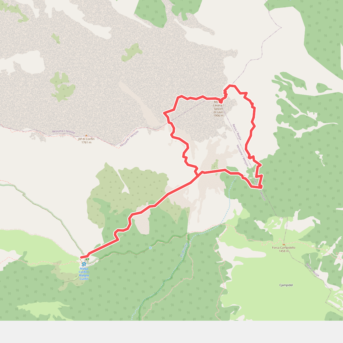
#3. Anello del monte Lavara
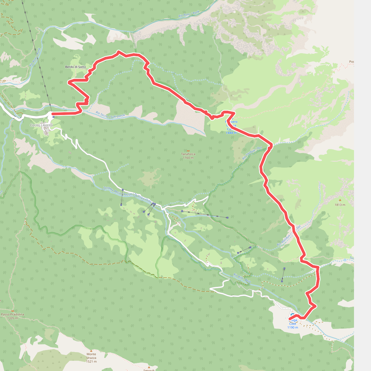
#4. Ardito Desio
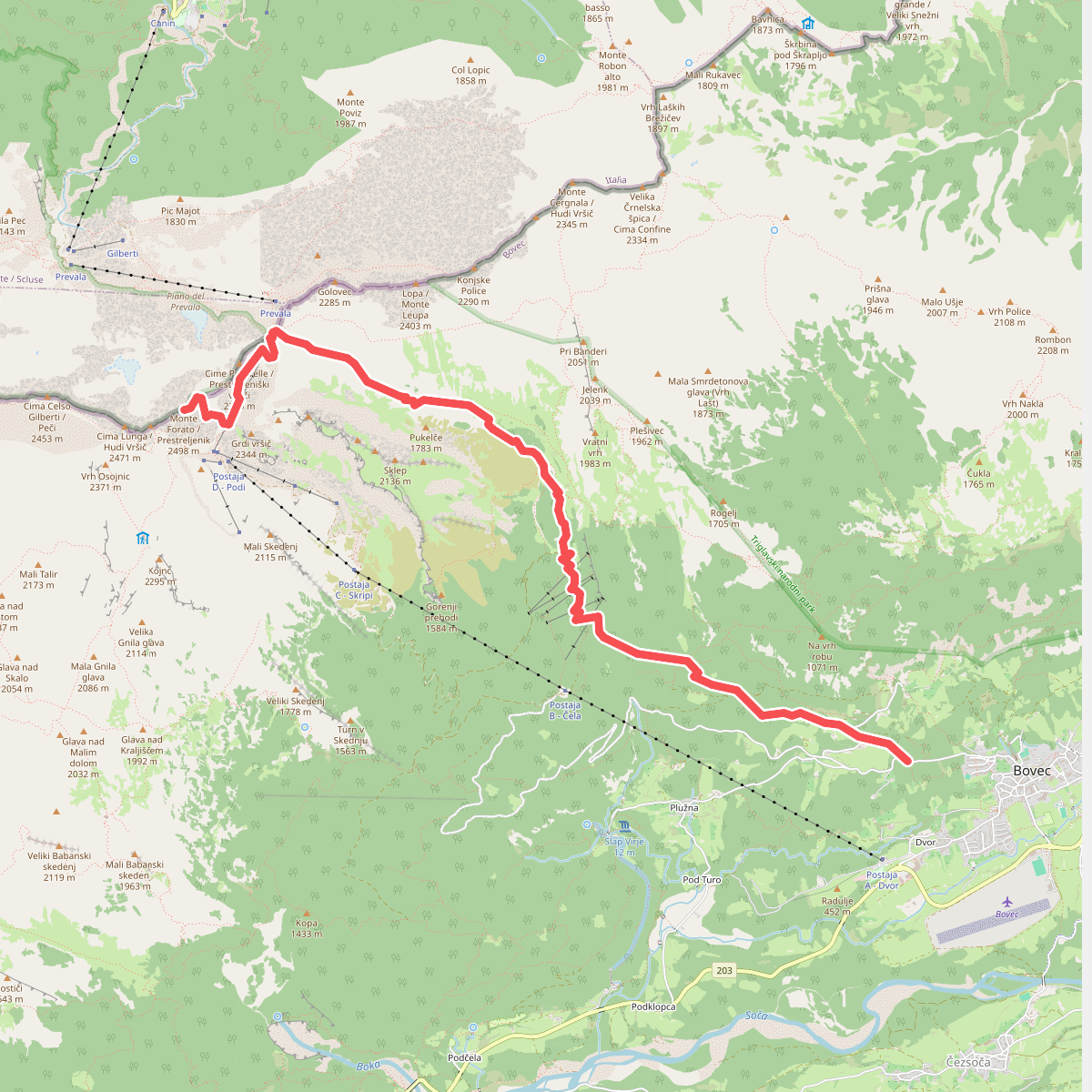
#5. Bovec - Krnica - Prestreljenik
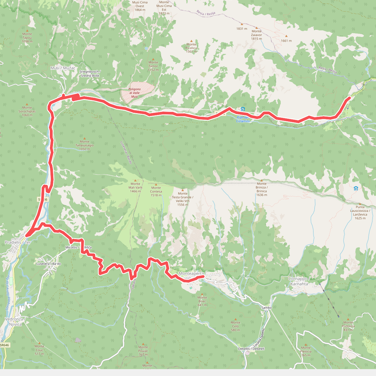
#6. Cammino Celeste Italia - 6var Montemaggiore - Variante al Gran Monte sul Rifugio A.N.A. - Passo Tanamea
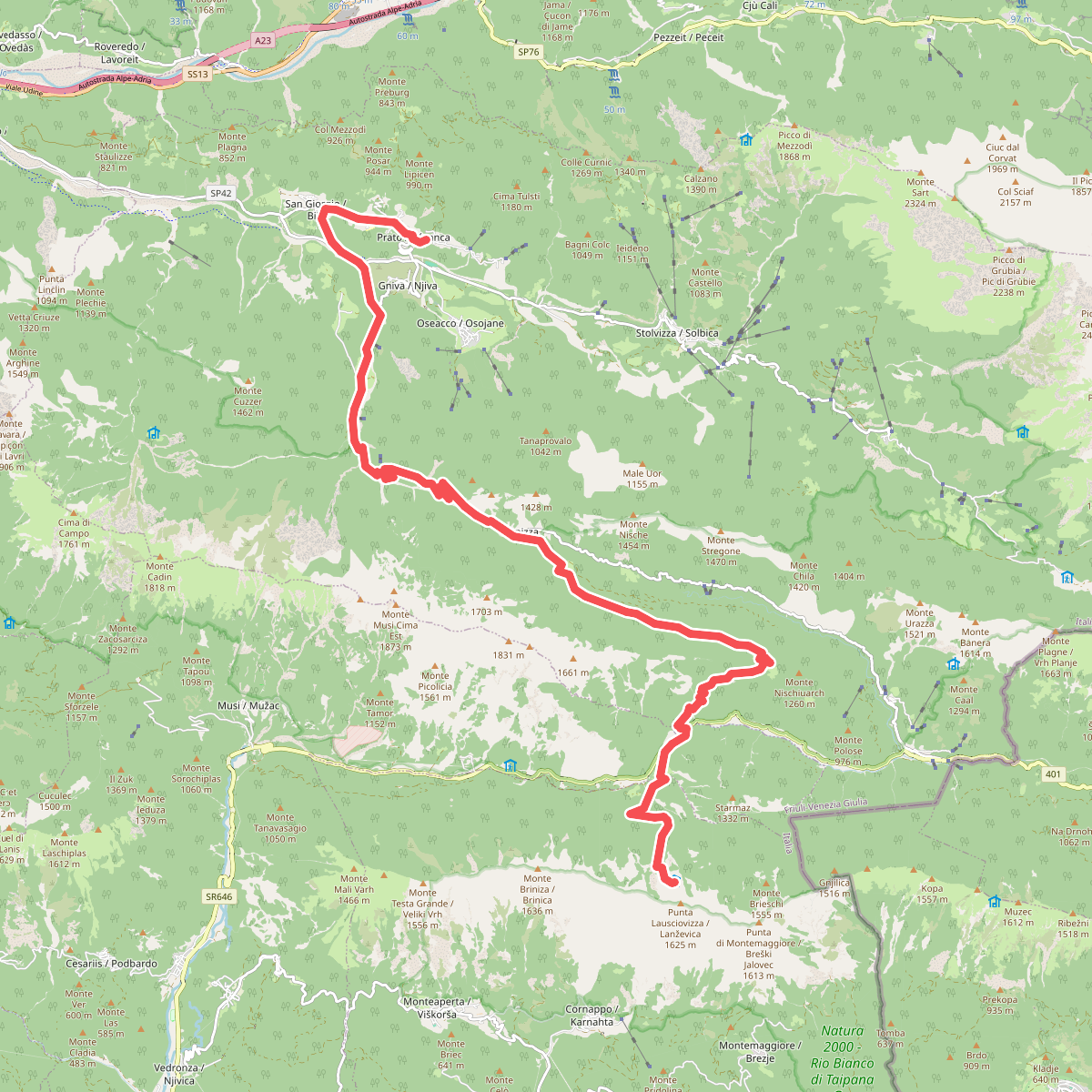
#7. Cammino Celeste Italia - 7 Rifugio A.N.A. - Valle Torre - Prato di Resia
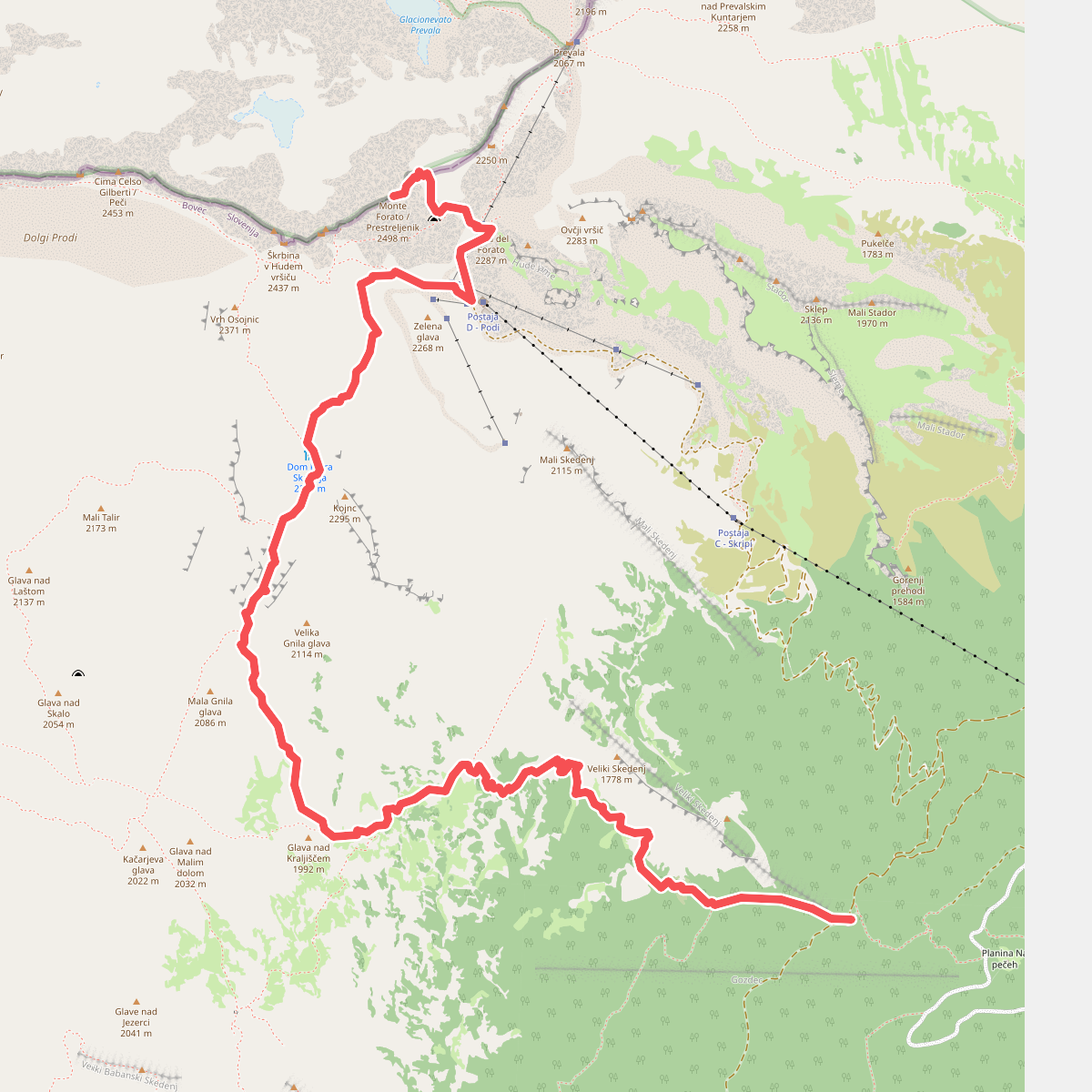
#8. Gozdec - Dom Petra Skalarja - Prestreljenik
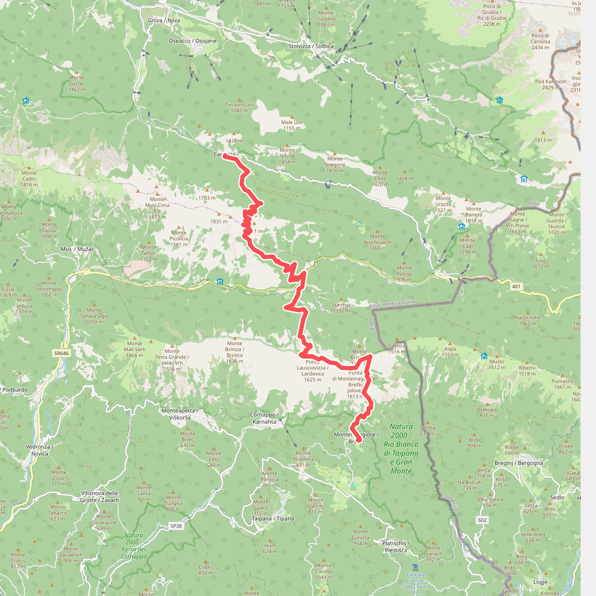
#9. JK16
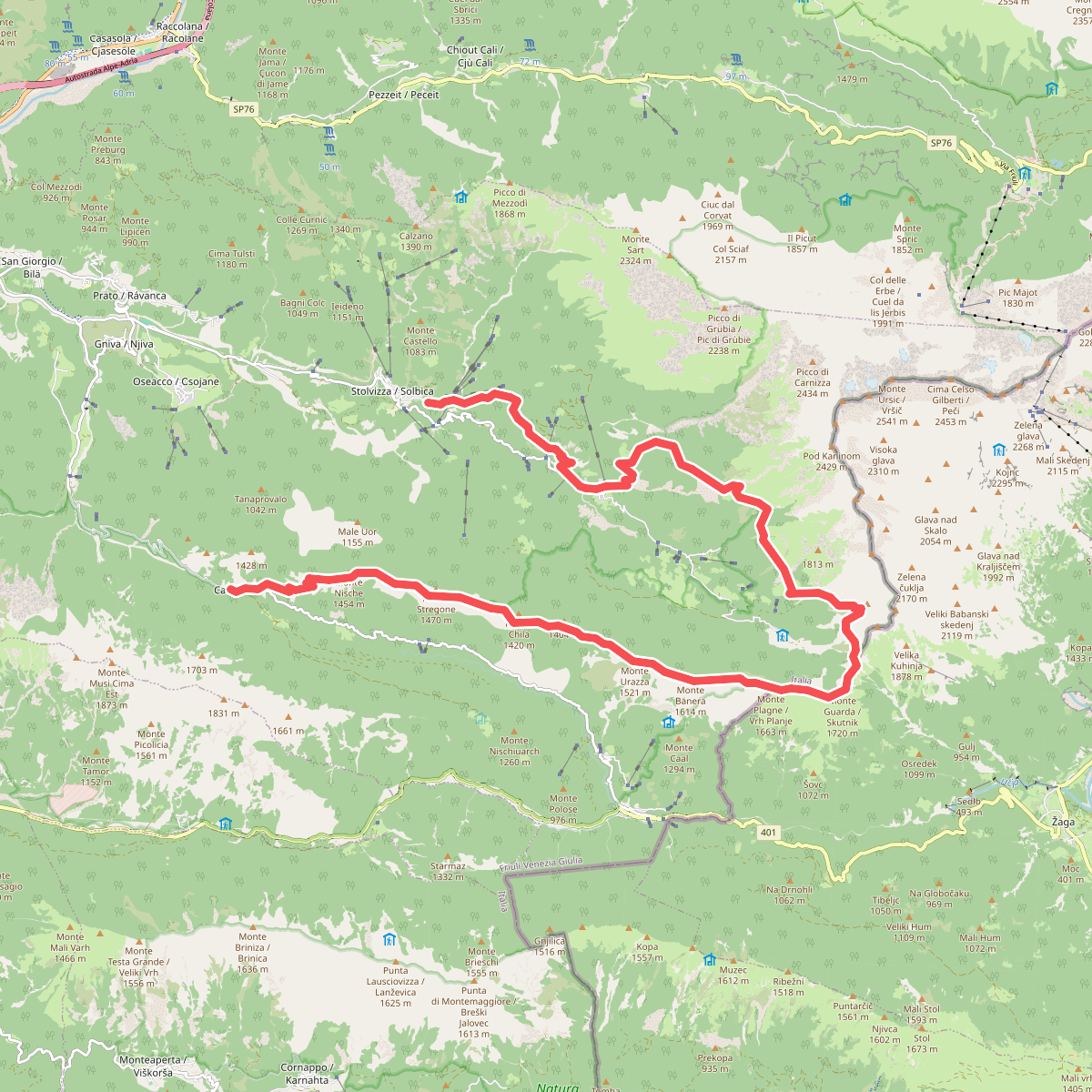
#10. JK17
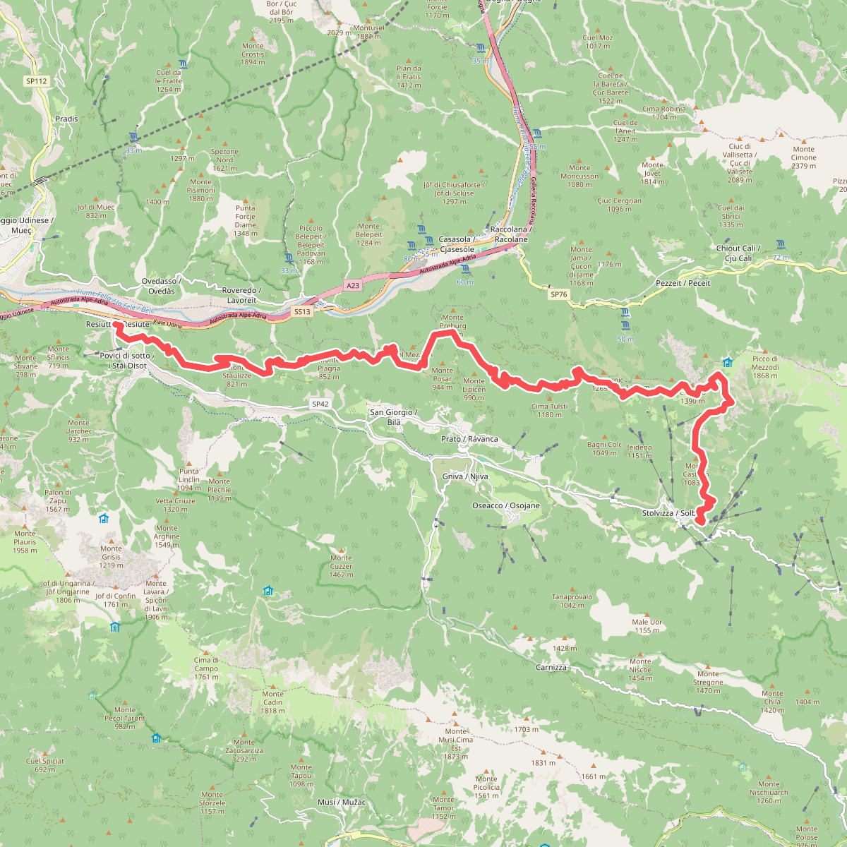
#11. JK18