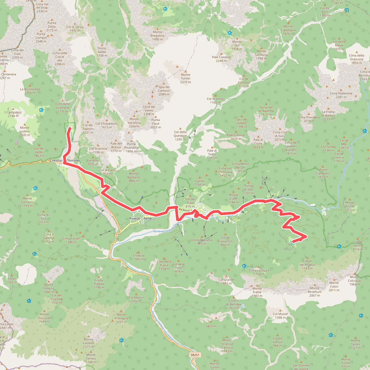
The best hiking routes in Parco naturale regionale delle Dolomiti Friulane / Parc naturâl regjonâl des Dolomitis furlanis
Discover the best walks in Parco naturale regionale delle Dolomiti Friulane / Parc naturâl regjonâl des Dolomitis furlanis. 31 routes on the map, with descriptions, photos and GPX.
About Parco naturale regionale delle Dolomiti Friulane / Parc naturâl regjonâl des Dolomitis furlanis
The Parco naturale regionale delle Dolomiti Friulane / Parc naturâl regjonâl des Dolomitis furlanis offers a stark contrast to the more famous, easily accessible mountain groups nearby. This area is defined by its lack of tourist infrastructure, cable cars, and paved high-altitude passes. Walkers will find a landscape of steep dolomite rock faces, deep and narrow scree valleys, and vast alluvial gravel beds like those in the cellina valley. The terrain is demanding, characterized by rough, unstable limestone debris underfoot and steep, relentless climbs through dense beech and larch forests before reaching the high alpine meadows.
Read more
About Parco naturale regionale delle Dolomiti Friulane / Parc naturâl regjonâl des Dolomitis furlanis
The Parco naturale regionale delle Dolomiti Friulane / Parc naturâl regjonâl des Dolomitis furlanis offers a stark contrast to the more famous, easily accessible mountain groups nearby. This area is defined by its lack of tourist infrastructure, cable cars, and paved high-altitude passes. Walkers will find a landscape of steep dolomite rock faces, deep and narrow scree valleys, and vast alluvial gravel beds like those in the cellina valley. The terrain is demanding, characterized by rough, unstable limestone debris underfoot and steep, relentless climbs through dense beech and larch forests before reaching the high alpine meadows.
Read moreThe Parco naturale regionale delle Dolomiti Friulane / Parc naturâl regjonâl des Dolomitis furlanis offers a stark contrast to the more famous, easily accessible mountain groups nearby. This area is defined by its lack of tourist infrastructure, cable cars, and paved high-altitude passes. Walkers will find a landscape of steep dolomite rock faces, deep and narrow scree valleys, and vast alluvial gravel beds like those in the cellina valley. The terrain is demanding, characterized by rough, unstable limestone debris underfoot and steep, relentless climbs through dense beech and larch forests before reaching the high alpine meadows.
Unlike gentler mountain areas, the paths here are often narrow, rugged tracks carved into the rock or running along dry torrent beds. Navigating this park requires constant attention to the ground, as loose stones and steep gradients are the norm rather than the exception. Water is scarce on the higher ridges due to the porous karst geology, meaning walkers must carry their own supplies, though lower valleys feature cold, crystal-clear streams cutting through deep gorges.
In late spring, particularly around June, the melting snow reveals a wealth of alpine flora clinging to the rock crevices, while the high passes remain challenging to cross until mid-summer. The park is ideal for those seeking solitude and a raw, physical connection with a mountain landscape that has remained largely unaltered by modern tourism, where the difficulty of the trails naturally limits the number of visitors.
Hiking routes in Parco naturale regionale delle Dolomiti Friulane / Parc naturâl regjonâl des Dolomitis furlanis (31)
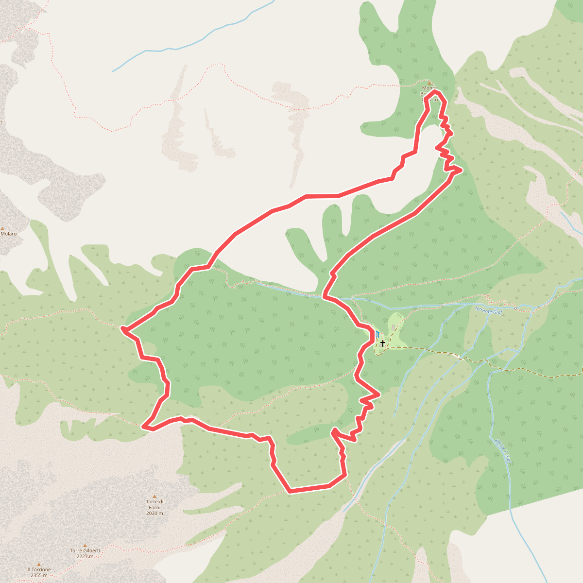
#1. Anello di Bianchi
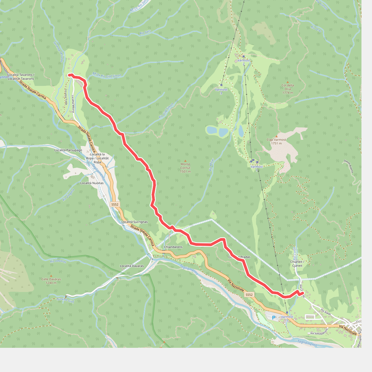
#2. Anello di Forni
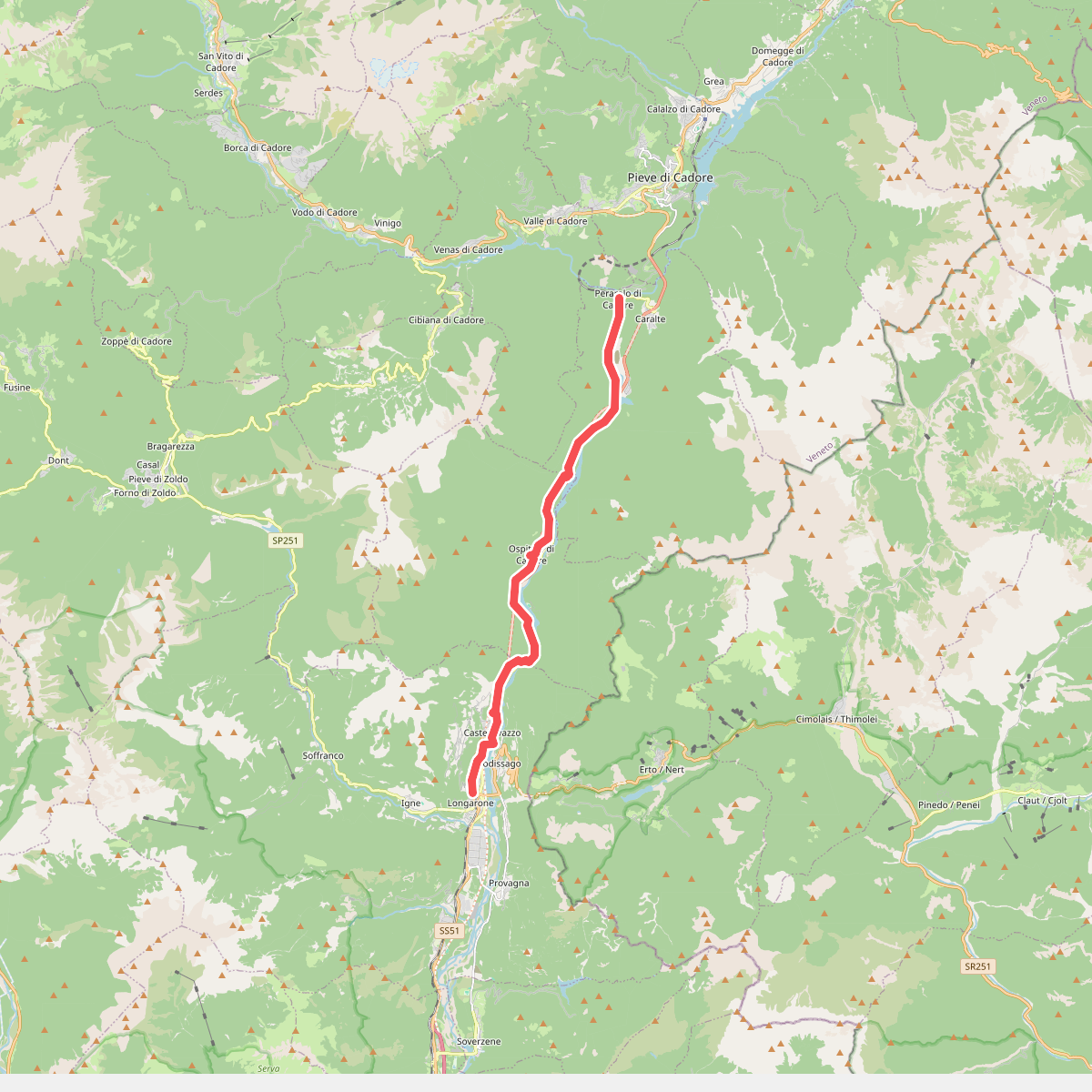
#3. Cammino delle Dolomiti - Tappa 25
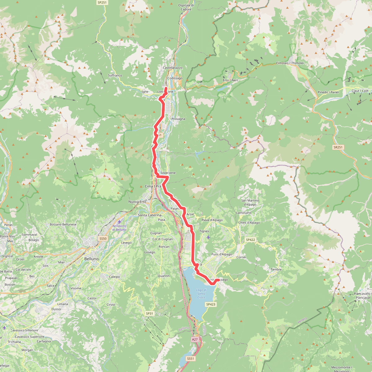
#4. Cammino delle Dolomiti - Tappa 26
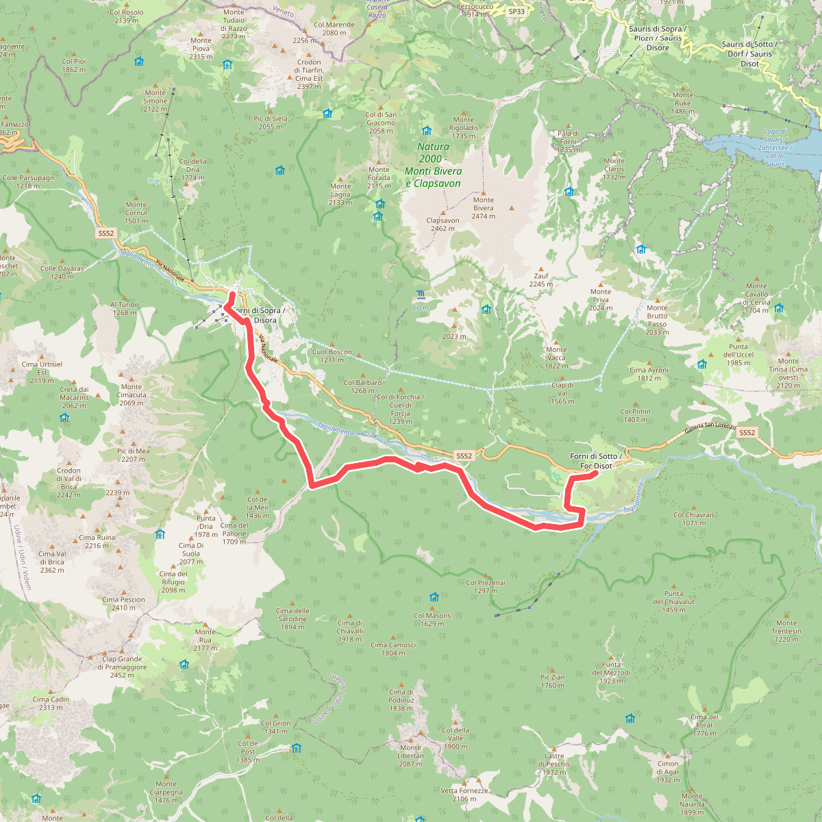
#5. Cammino delle Pievi - Tappa 09
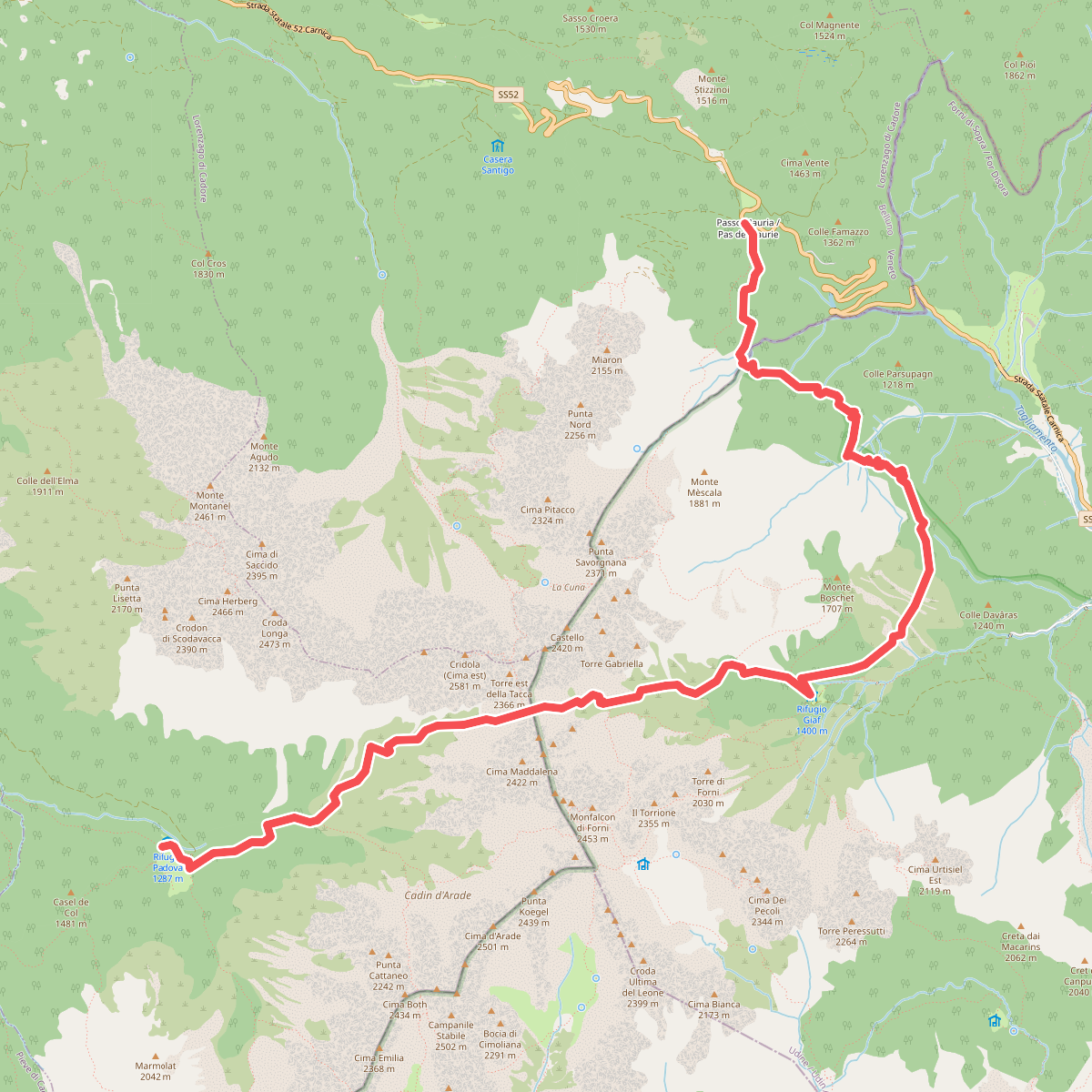
#6. Dolomites World Heritage Geotrail 22bis
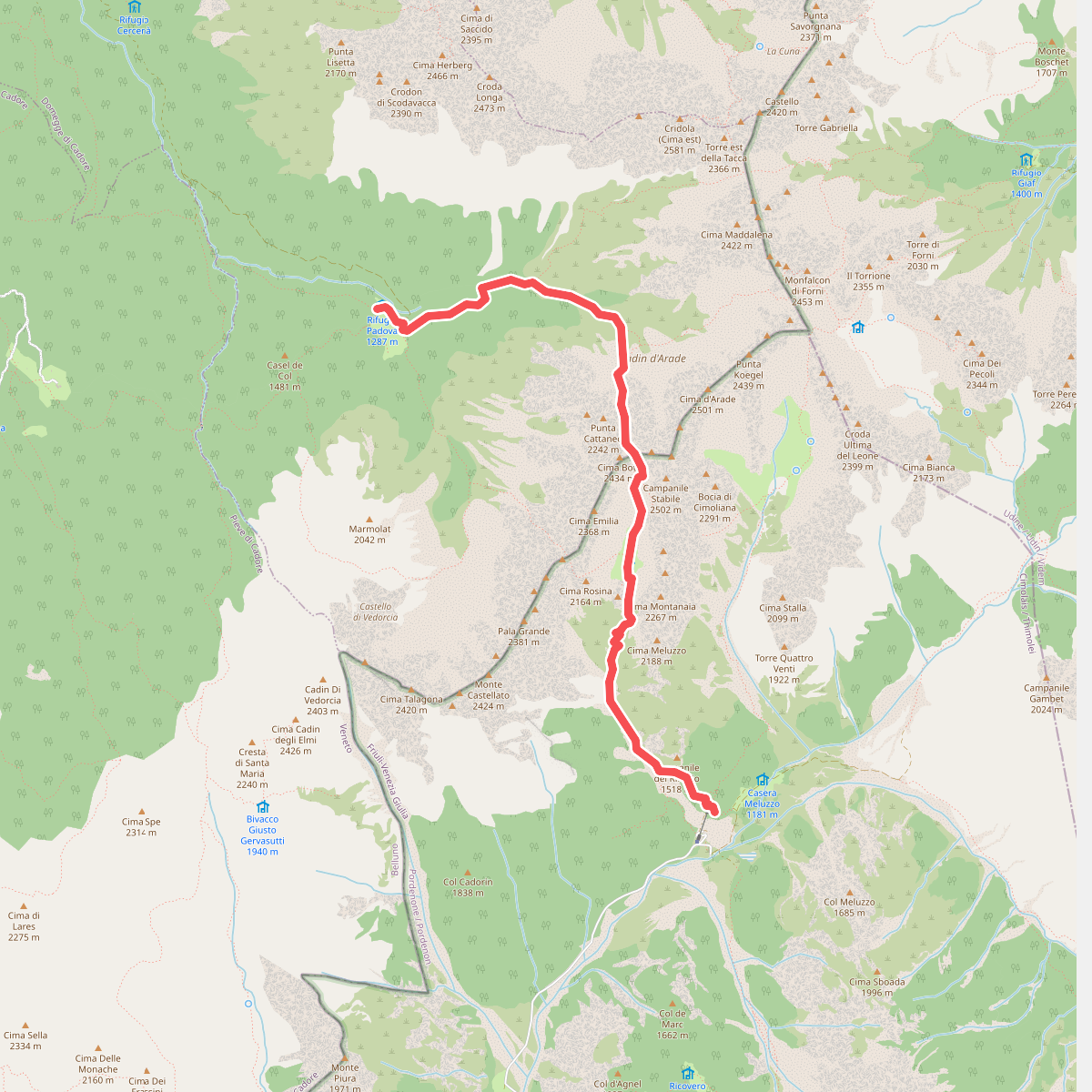
#7. Dolomites World Heritage Geotrail 23
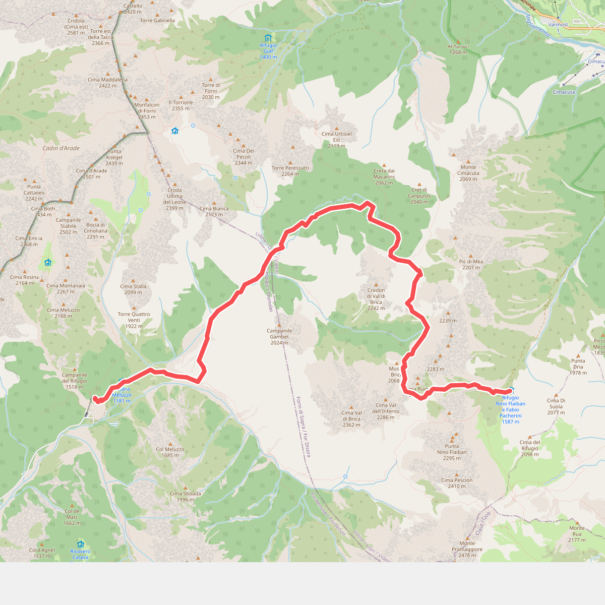
#8. Dolomites World Heritage Geotrail 24
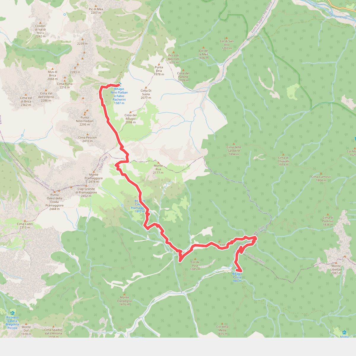
#9. Dolomites World Heritage Geotrail 25
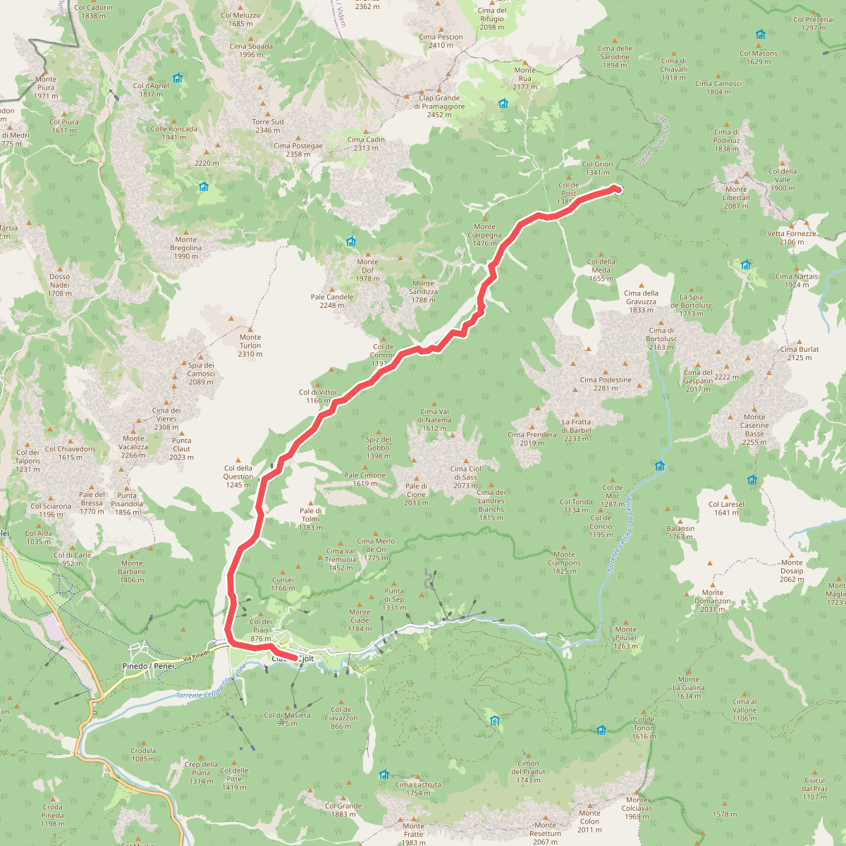
#10. Dolomites World Heritage Geotrail 26
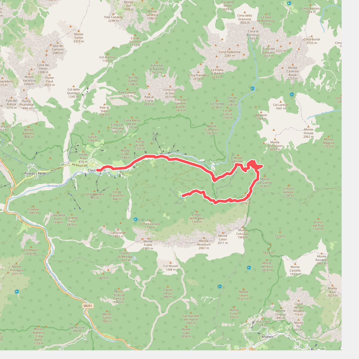
#11. Dolomites World Heritage Geotrail 27