The best hiking routes in Parco dell'Antola
Discover the best walks in Parco dell'Antola. 15 routes on the map, with descriptions, photos and GPX.
About Parco dell'Antola
Parco dell'Antola occupies a rugged section of the Ligurian Apennines, characterized by steep limestone slopes, dense beech woods, and high-altitude pastures. Unlike the flat coastal plains nearby, this area is defined by sharp elevation changes and deep valleys carved by the Scrivia and Trebbia rivers. Walkers will find a landscape shaped by centuries of traditional grazing and forestry, where open meadows suddenly give way to dense, shaded woodlands. Underfoot, the trails vary from rocky, uneven limestone paths on the ridges to soft, leaf-strewn dirt tracks beneath the forest canopy.
Read more
About Parco dell'Antola
Parco dell'Antola occupies a rugged section of the Ligurian Apennines, characterized by steep limestone slopes, dense beech woods, and high-altitude pastures. Unlike the flat coastal plains nearby, this area is defined by sharp elevation changes and deep valleys carved by the Scrivia and Trebbia rivers. Walkers will find a landscape shaped by centuries of traditional grazing and forestry, where open meadows suddenly give way to dense, shaded woodlands. Underfoot, the trails vary from rocky, uneven limestone paths on the ridges to soft, leaf-strewn dirt tracks beneath the forest canopy.
Read moreParco dell'Antola occupies a rugged section of the Ligurian Apennines, characterized by steep limestone slopes, dense beech woods, and high-altitude pastures. Unlike the flat coastal plains nearby, this area is defined by sharp elevation changes and deep valleys carved by the Scrivia and Trebbia rivers. Walkers will find a landscape shaped by centuries of traditional grazing and forestry, where open meadows suddenly give way to dense, shaded woodlands. Underfoot, the trails vary from rocky, uneven limestone paths on the ridges to soft, leaf-strewn dirt tracks beneath the forest canopy.
The park lacks the jagged, glaciated peaks of the high Alps, offering instead rounded summits and grassy ridges that are accessible without technical climbing gear. Mount Antola itself serves as the central hub of the trail network, where the open grasslands provide clear views of the surrounding valleys. In May, these high meadows are notable for the blooming of wild narcissi, which temporarily transform the grazing land. The lower slopes feature abandoned stone settlements and terraced fields, showing how past farming practices have left a permanent mark on the terrain.
Choosing a route here means deciding between the sheltered, humid environment of the valley floors and the exposed, windy ridges. The northern slopes tend to hold moisture and support thick moss and fern growth, while the southern faces are drier and covered in scrubby oak. Well-marked paths connect the main trailheads, though signposting can be sparse on the older, less-frequented mule tracks. The area around the main summit can be busy on weekends, but the side valleys offer a much quieter walking experience.
Hiking routes in Parco dell'Antola (15)
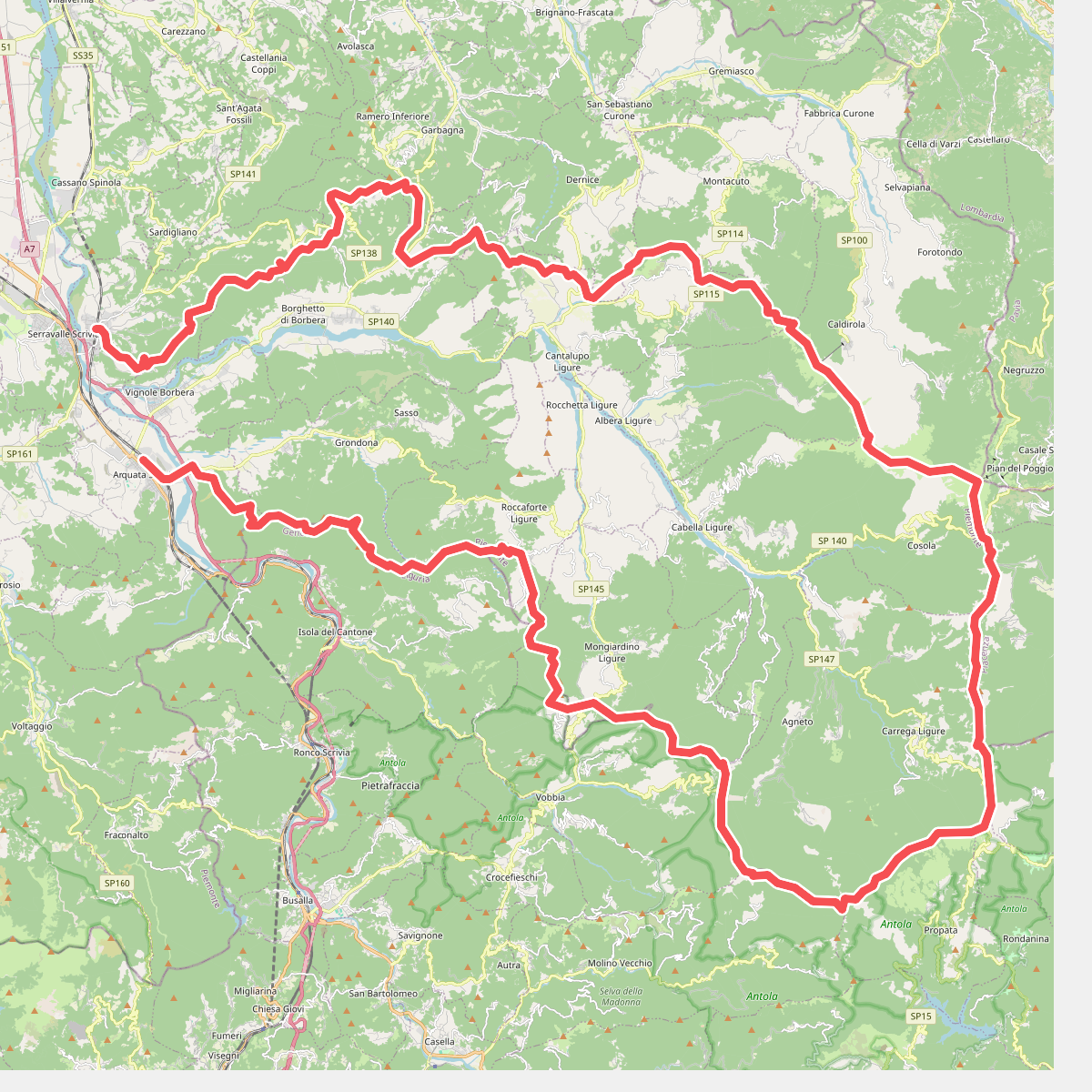
#1. Anello Borbera - Spinti
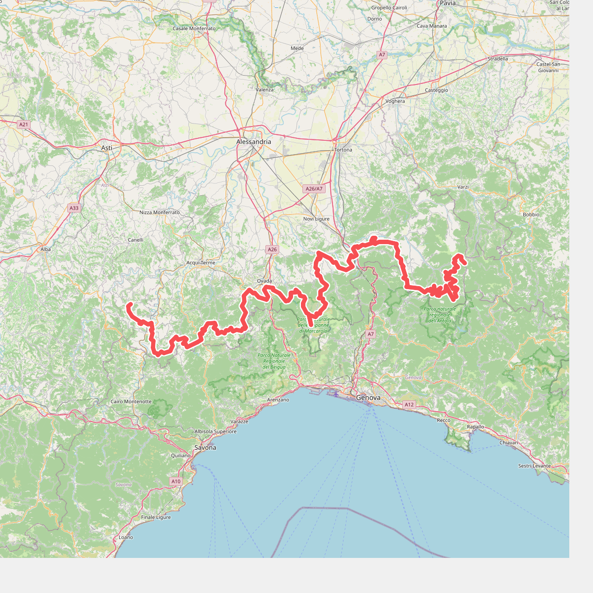
#2. Cammino Piemonte Sud
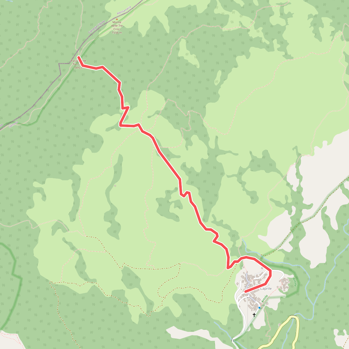
#3. Caprile - Passo delle Tre Croci
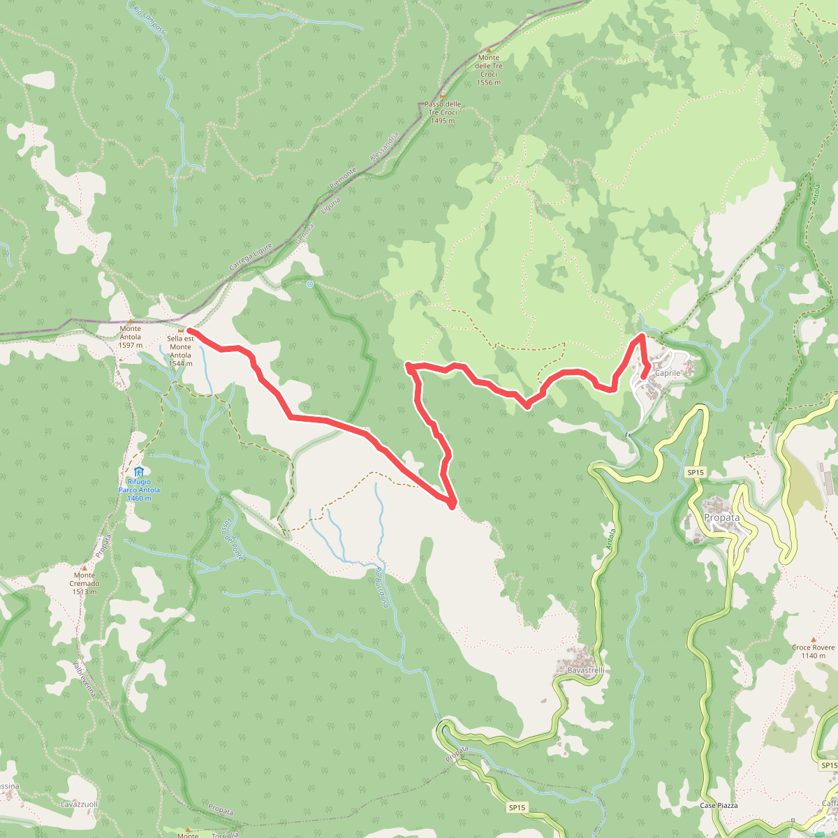
#4. Caprile - Sella Est Monte Antola
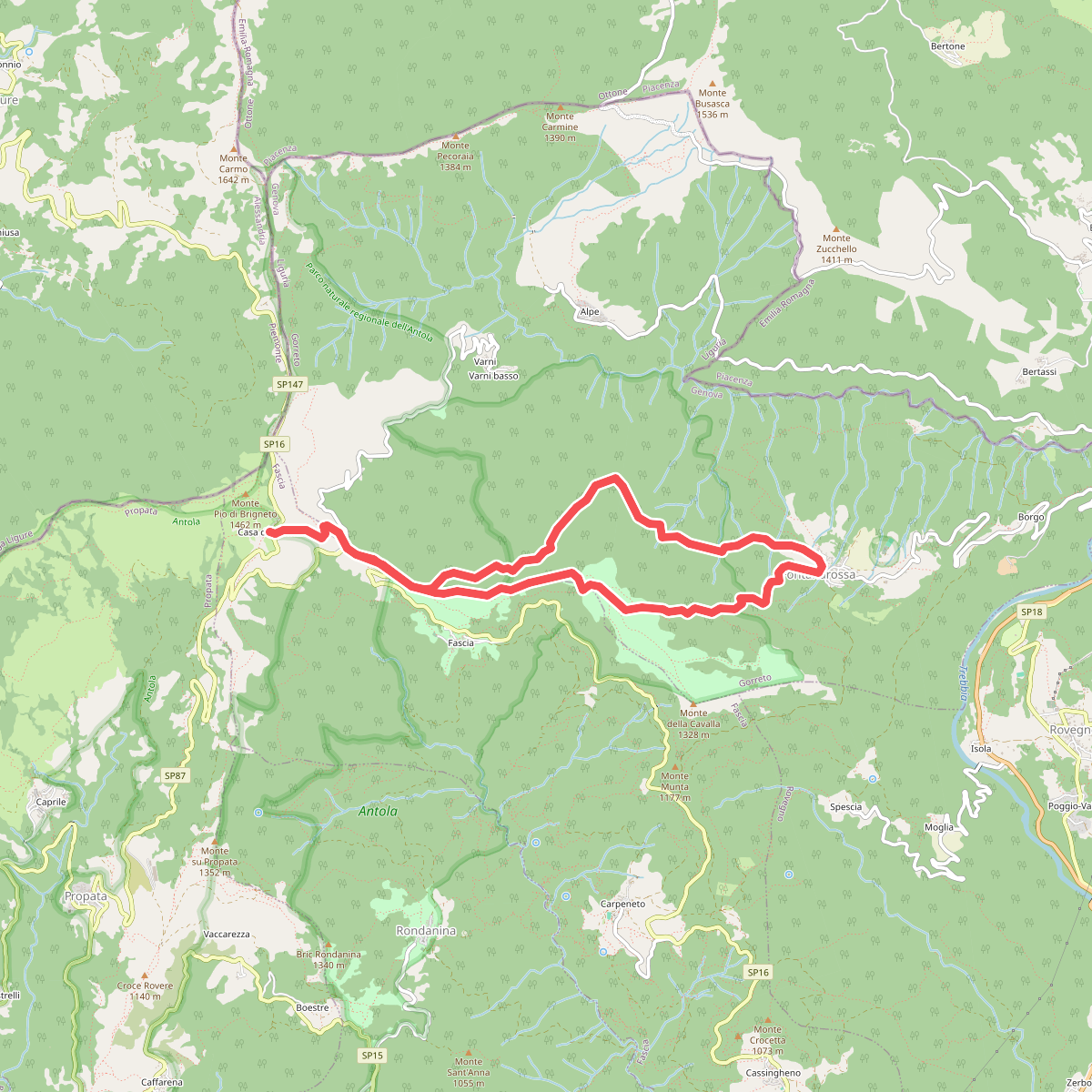
#5. Casa del Romano - Fontanarossa - Casa del Romano
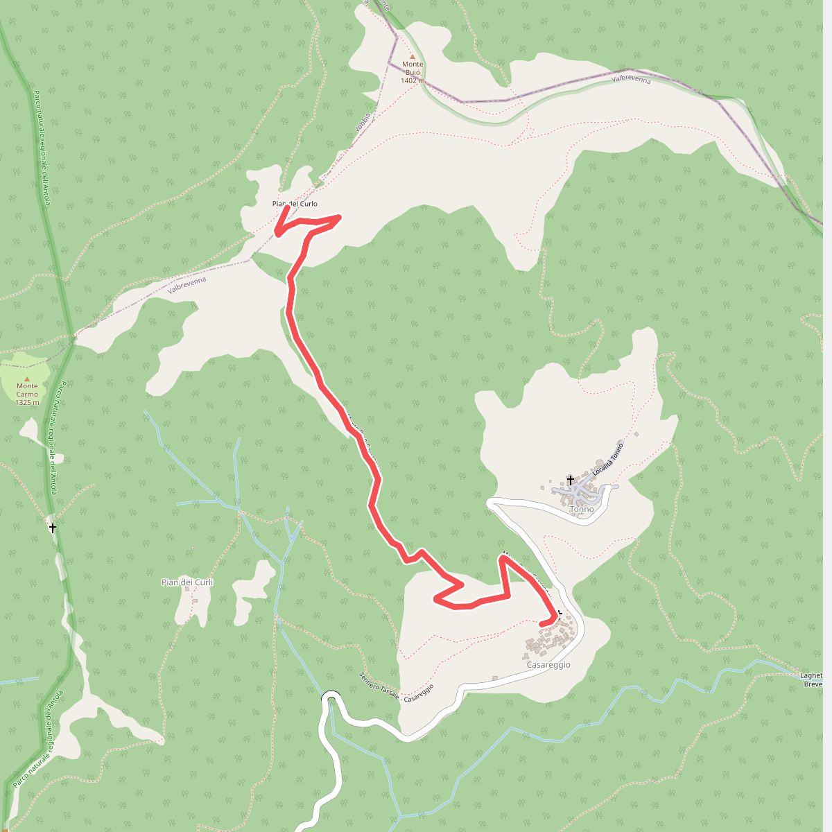
#6. Casareggio - Pian del Curlo
Vobbia
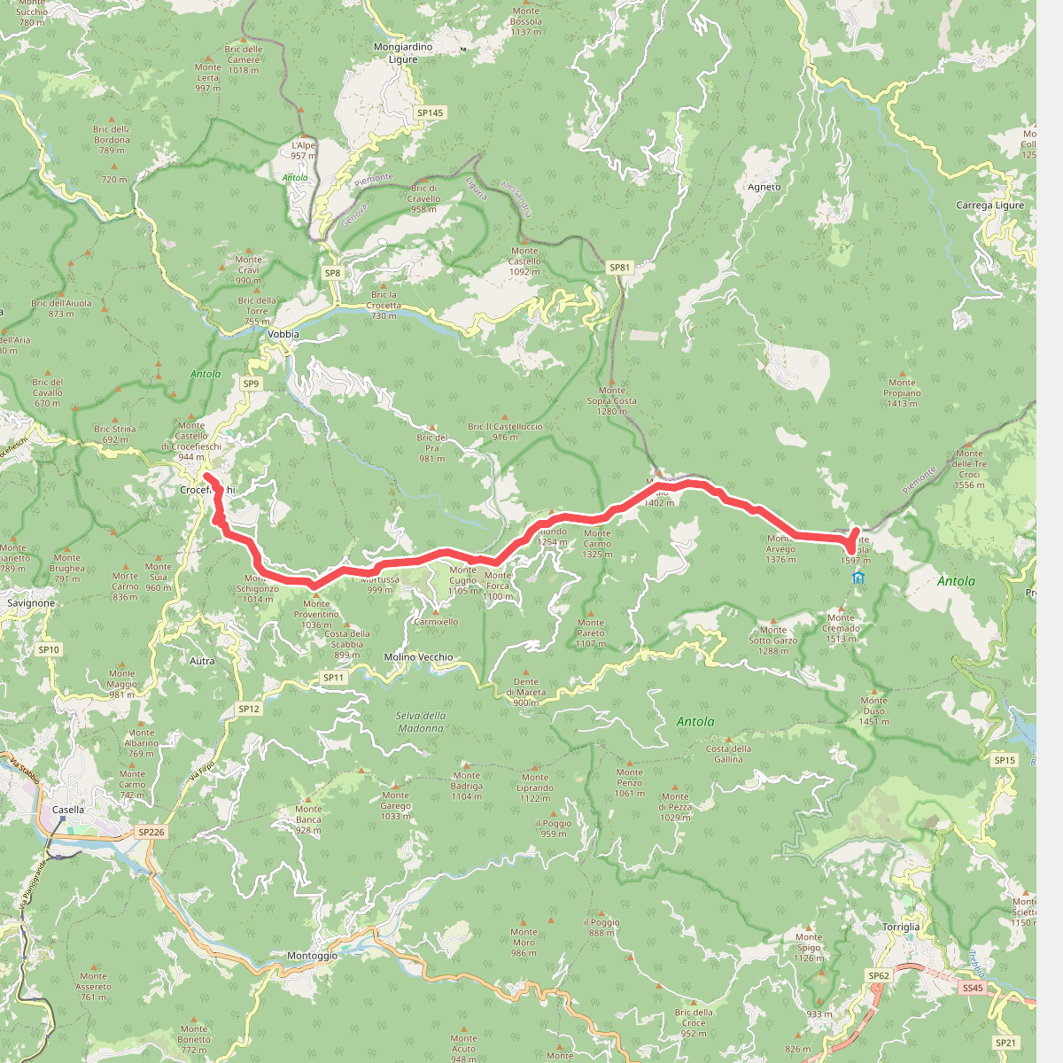
#7. Crocefieschi - Monte Antola
Carrega Ligure,Propata,Vobbia,Crocefieschi
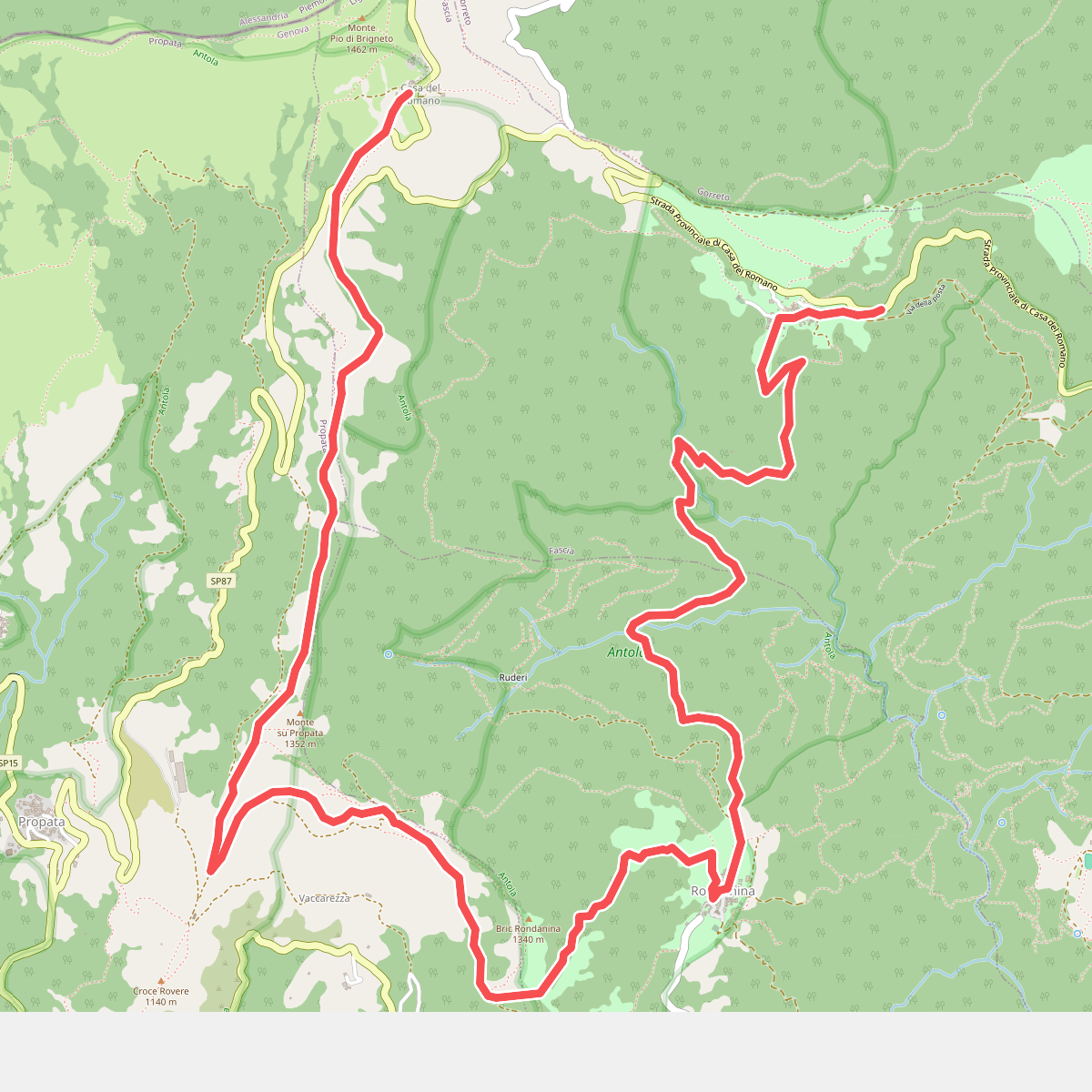
#8. Fascia – Rondanina-Casa del Romano
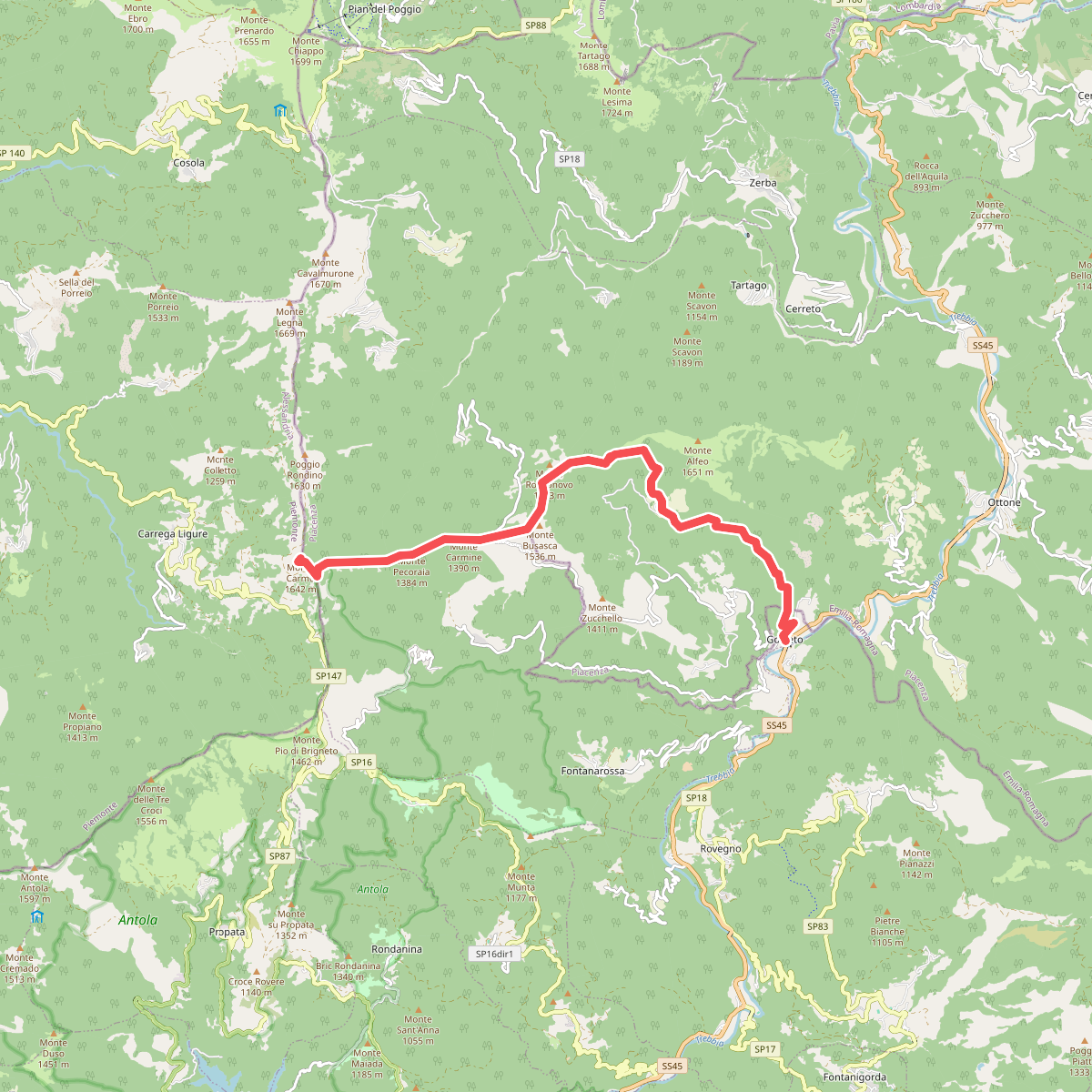
#9. Gorreto - Bertone - Monte Carmo
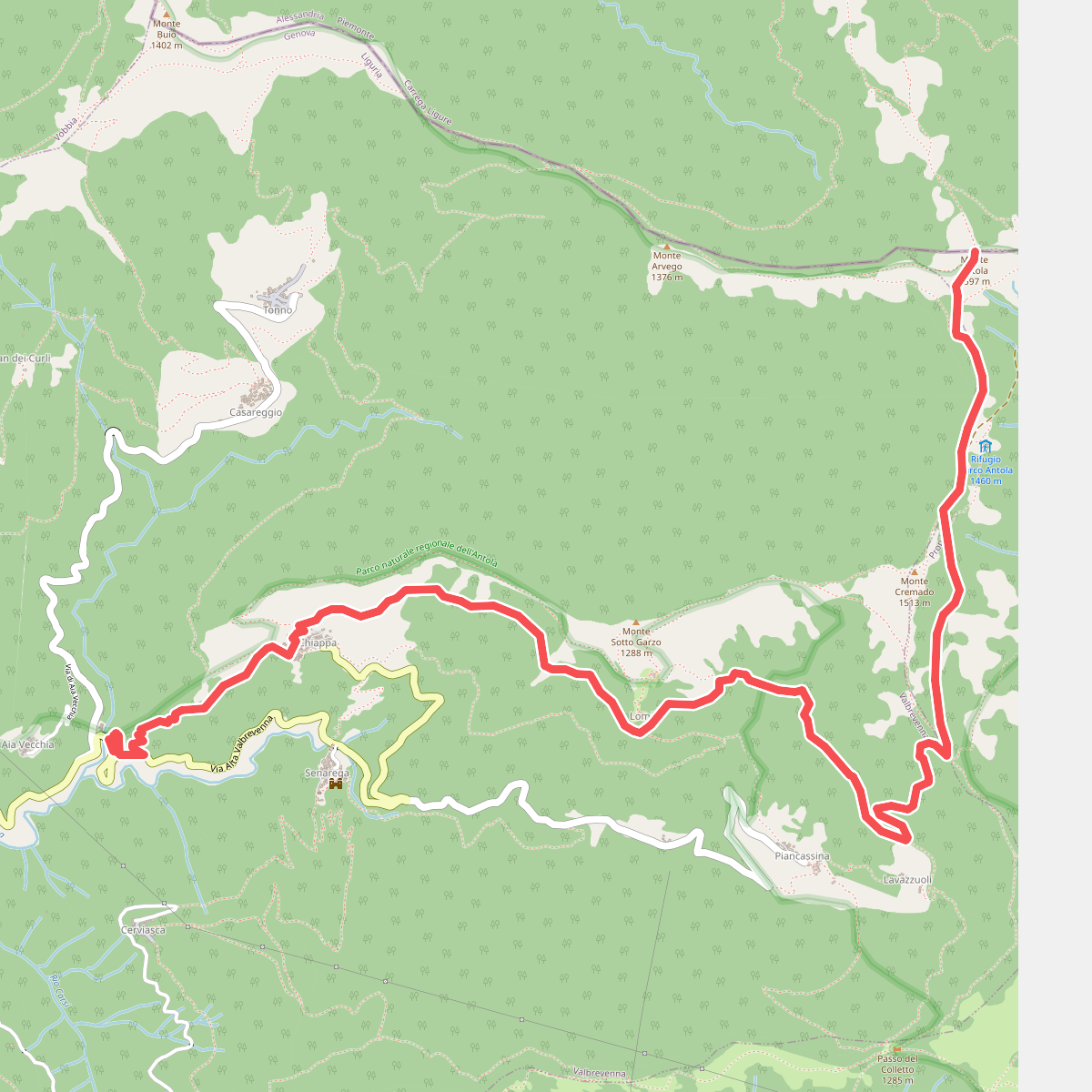
#10. Molino del Fullo - Monte Antola
Carrega Ligure,Propata
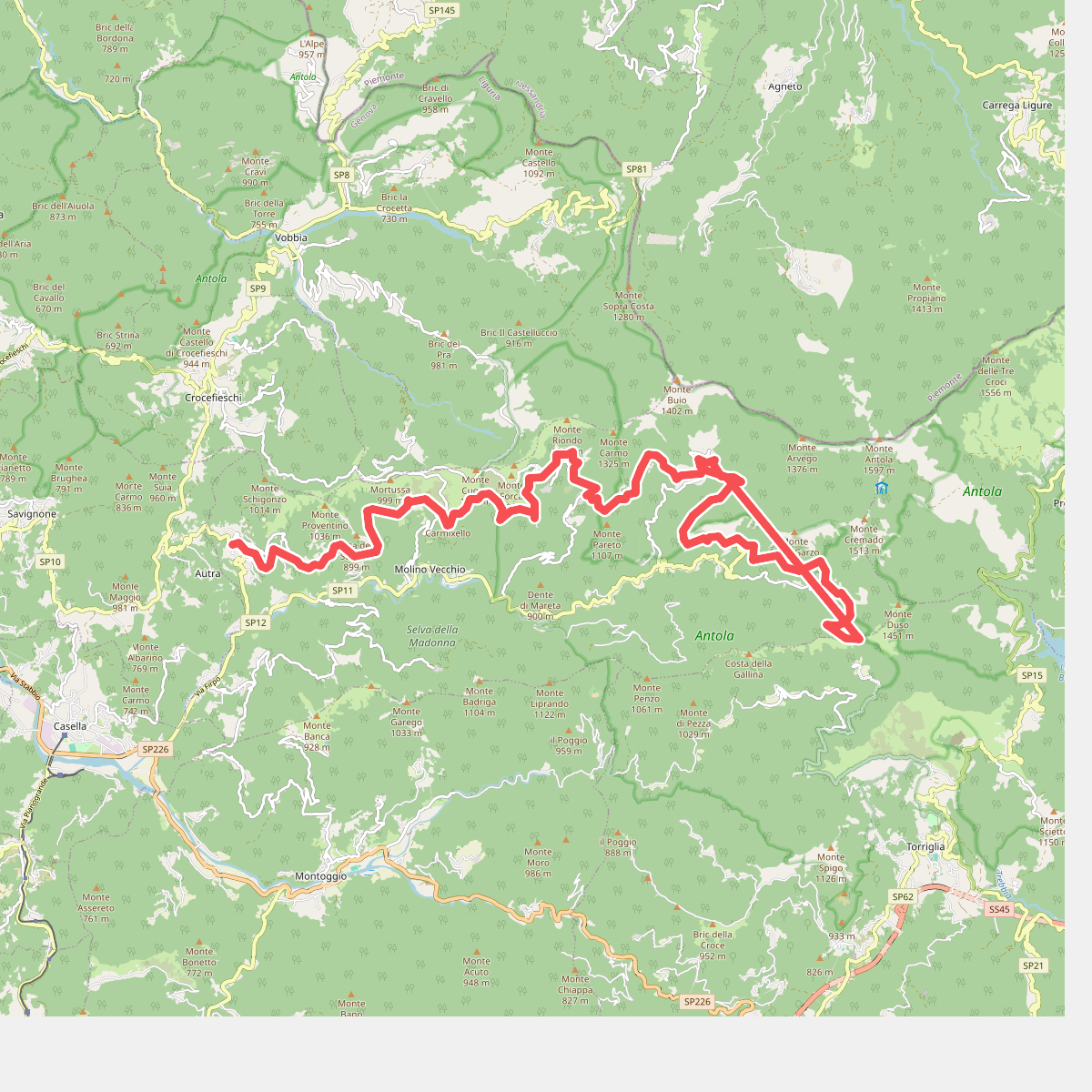
#11. Nenno - Cappelletta del Colletto
Torriglia