

The best hiking routes in Parc naturel régional du Doubs Horloger
Discover the best walks in Parc naturel régional du Doubs Horloger. 52 routes on the map, with descriptions, photos and GPX.
About Parc naturel régional du Doubs Horloger
Parc naturel régional du Doubs Horloger is defined by its limestone geology and its deep association with the watchmaking industry that shaped its valleys. Unlike flatter agricultural plains, this border landscape consists of high, stepped limestone plateaus cut sharply by the deep, forested gorge of the Doubs River. The terrain is characterized by karst features, meaning you will walk past sinkholes, dry valleys, and steep cliffs rather than gentle, rolling hills. The vegetation shifts rapidly from dense pine and spruce forests on the colder, north-facing slopes to open, grassy pastures on the high ridges.
Read more
About Parc naturel régional du Doubs Horloger
Parc naturel régional du Doubs Horloger is defined by its limestone geology and its deep association with the watchmaking industry that shaped its valleys. Unlike flatter agricultural plains, this border landscape consists of high, stepped limestone plateaus cut sharply by the deep, forested gorge of the Doubs River. The terrain is characterized by karst features, meaning you will walk past sinkholes, dry valleys, and steep cliffs rather than gentle, rolling hills. The vegetation shifts rapidly from dense pine and spruce forests on the colder, north-facing slopes to open, grassy pastures on the high ridges.
Read moreParc naturel régional du Doubs Horloger is defined by its limestone geology and its deep association with the watchmaking industry that shaped its valleys. Unlike flatter agricultural plains, this border landscape consists of high, stepped limestone plateaus cut sharply by the deep, forested gorge of the Doubs River. The terrain is characterized by karst features, meaning you will walk past sinkholes, dry valleys, and steep cliffs rather than gentle, rolling hills. The vegetation shifts rapidly from dense pine and spruce forests on the colder, north-facing slopes to open, grassy pastures on the high ridges.
Underfoot, the trails vary from rocky, root-filled forest paths in the gorges to wide, gravel agricultural tracks across the high plateaus. In the lower sections near the river, the path can be damp and mossy, while the limestone ridges are naturally well-drained and stony. You will notice the distinct dry-stone walls, built from local limestone, which have partitioned these high pastures for centuries to manage livestock.
The area is not a place for high alpine peaks or vast, open heathlands. Instead, it offers a dense network of wooded valleys and working agricultural plateaus where cows graze near traditional farmsteads with wide, snow-shedding roofs. The riverbanks and deep gorges like the Échelles de la Mort offer steep, challenging climbs on ladders and rocky steps, while the upper plateaus provide flatter, more straightforward walking through a mosaic of woodland and pasture.
Hiking routes in Parc naturel régional du Doubs Horloger (52)
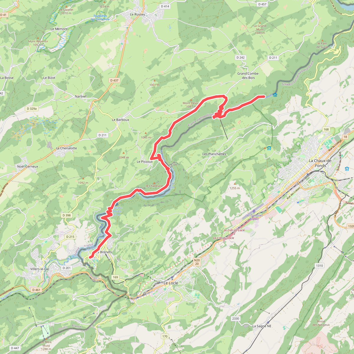
#1. Abri des pêcheurs (Grand'Combe-de... · GR5 etappe 62
Grand'Combe-des-Bois,Villers-le-Lac,Le Locle
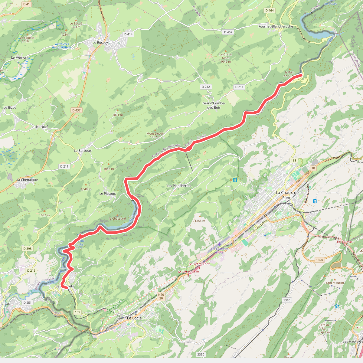
#2. Au fil du Doubs - Etappe 1
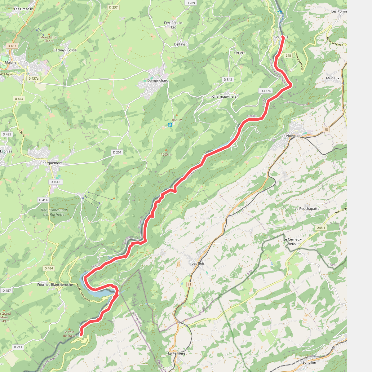
#3. Au fil du Doubs - Etappe 2
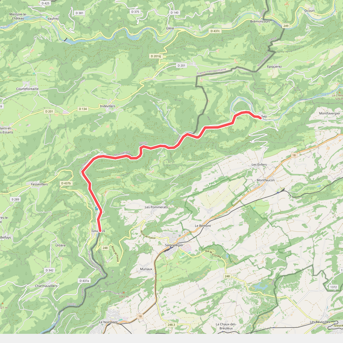
#4. Au fil du Doubs - Etappe 3
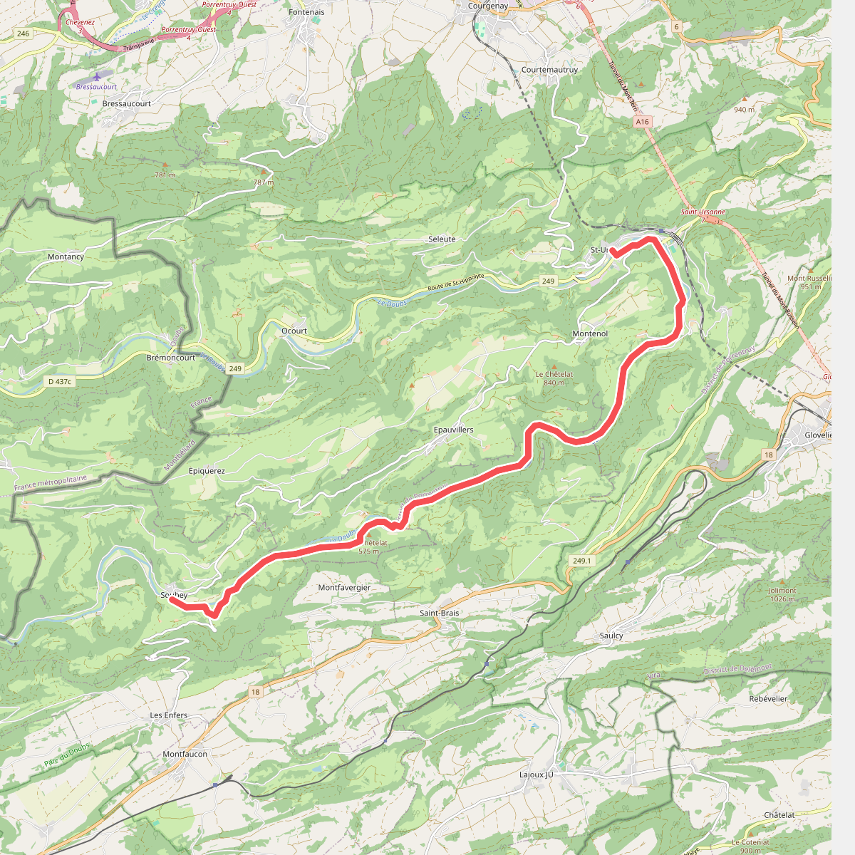
#5. Au fil du Doubs - Etappe 4
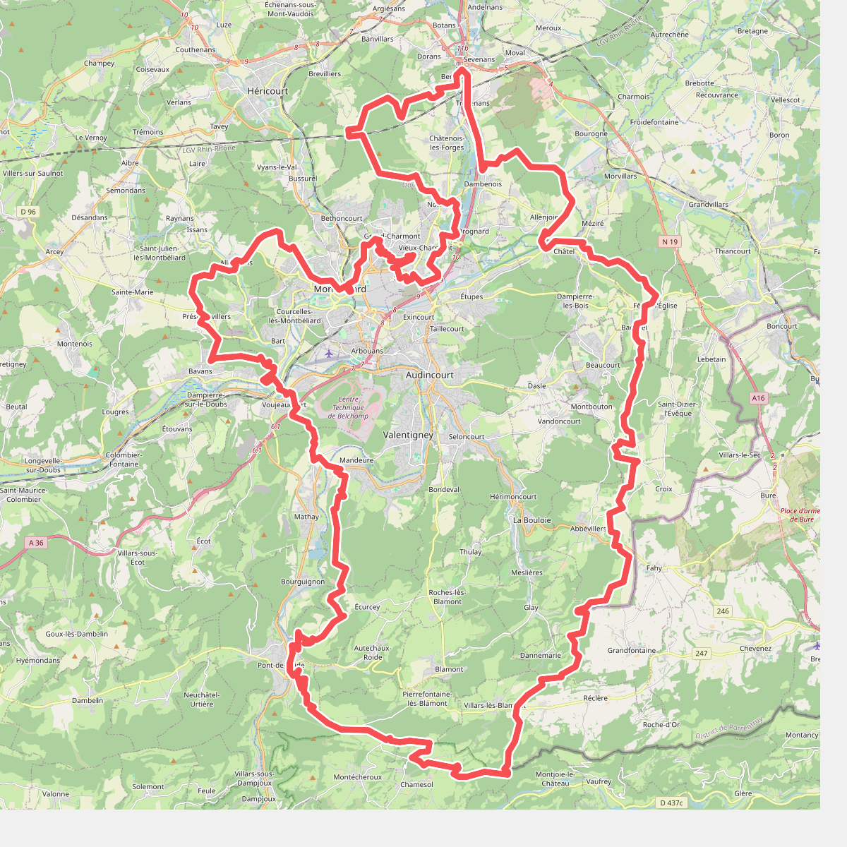
#6. Bornes et Forts du Pays de Montbélierd
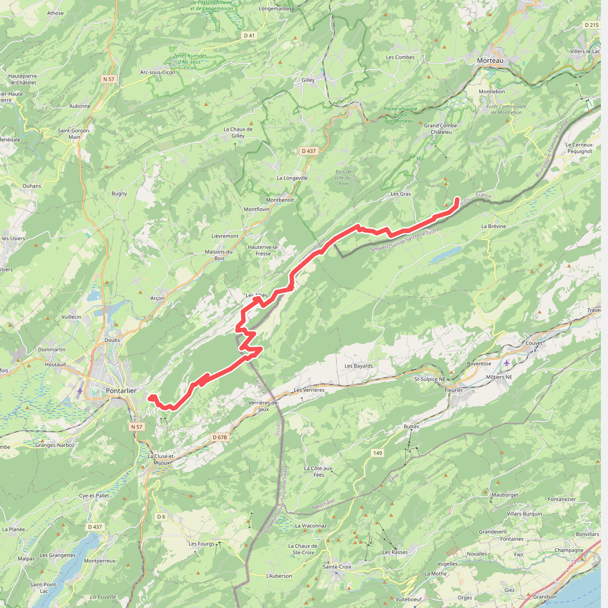
#7. Cabane du Mont Châteleu - Pontarl... · GR5 etappe 65
Grand'Combe-Châteleu,Les Gras,La Brévine,Pays-de-Montbenoît,Les Verrières,Les Alliés,Pontarlier
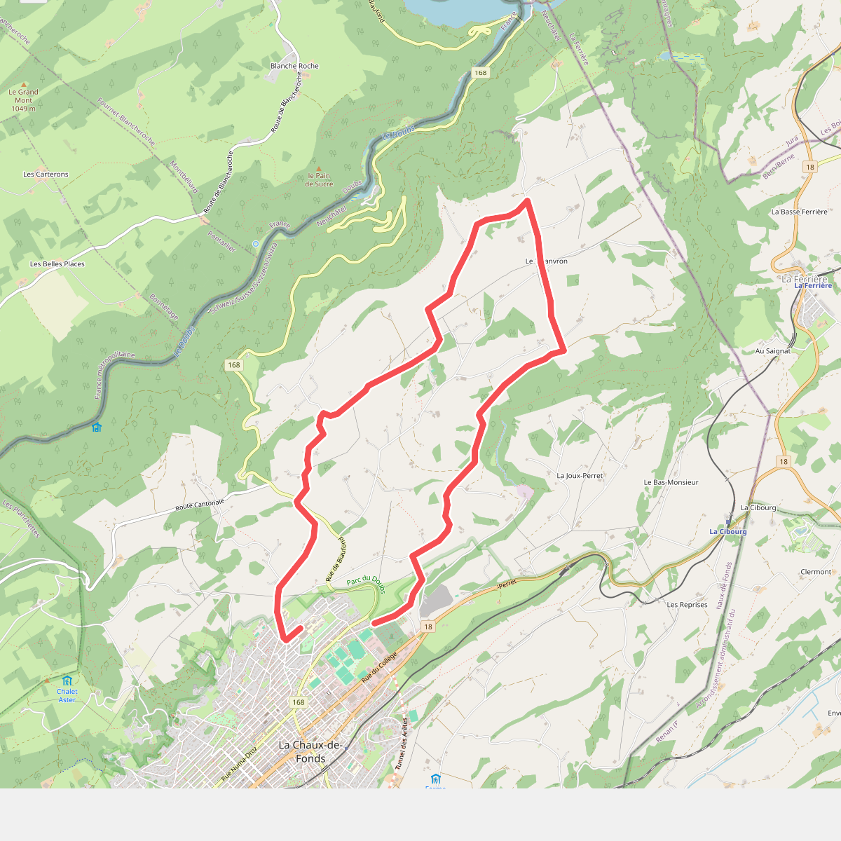
#8. Chemin de l'abeille verte
La Chaux-de-Fonds
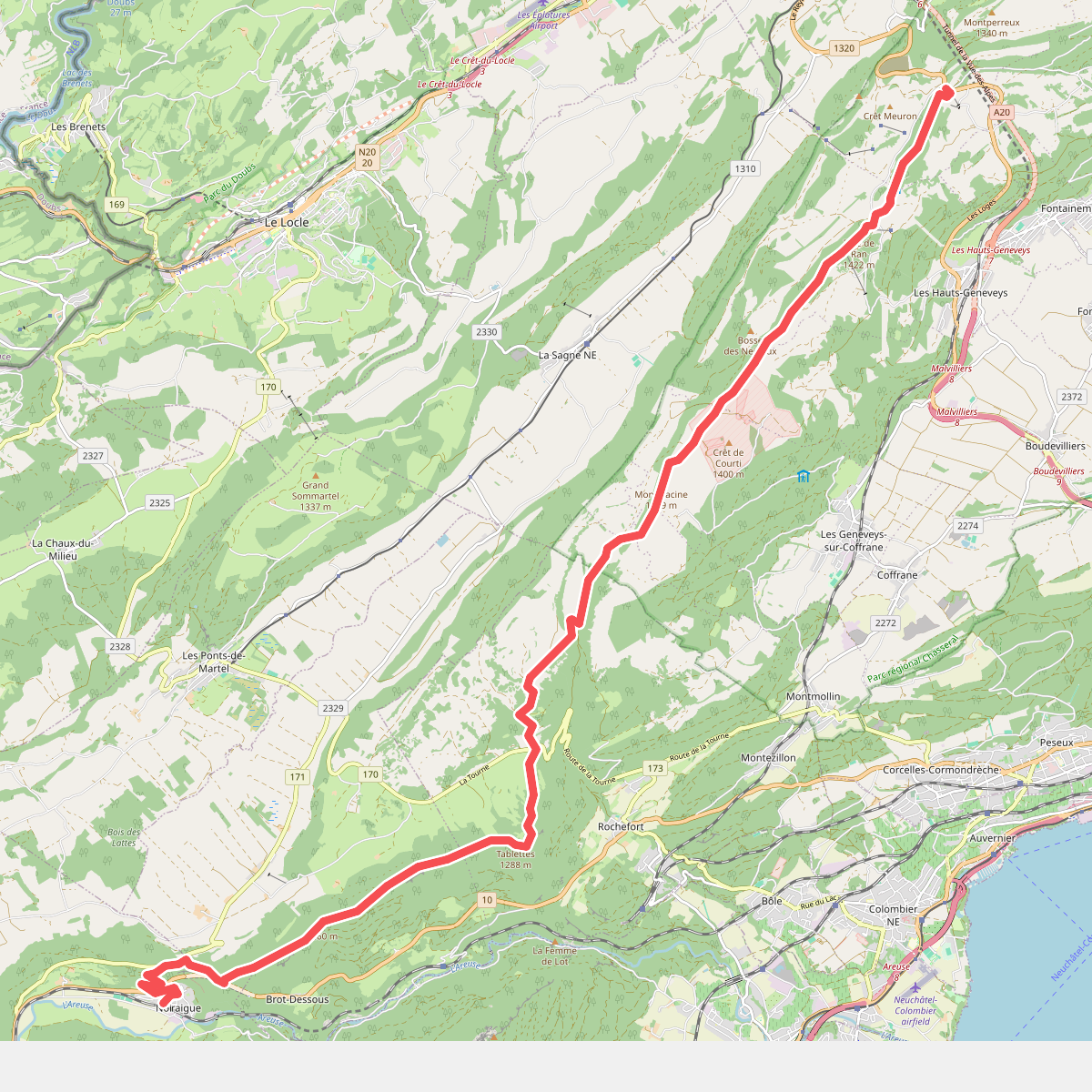
#9. Chemin des Crêtes du Jura
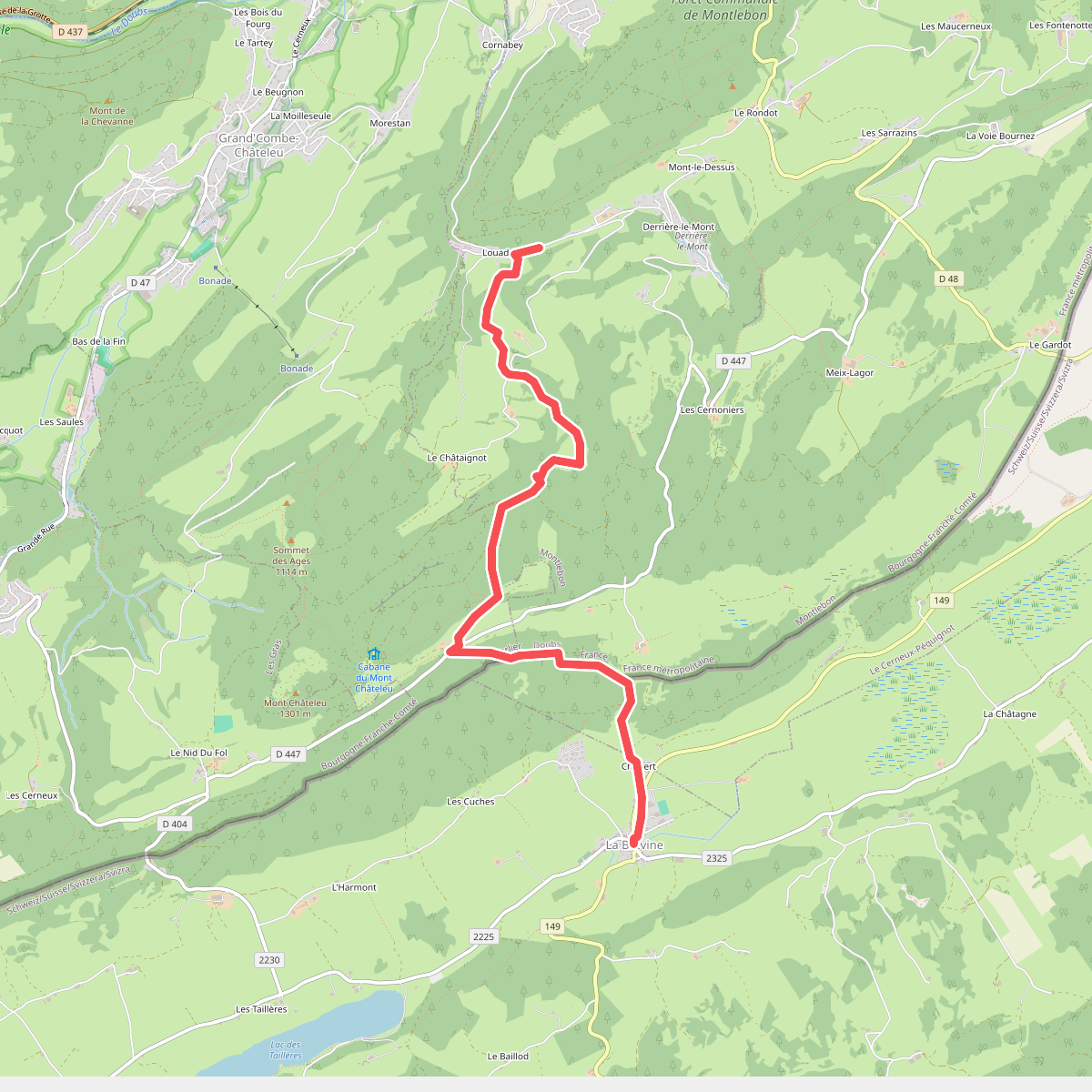
#10. Chemin Michel Hollard
La Brévine,Le Cerneux-Péquignot,Montlebon,Grand'Combe-Châteleu
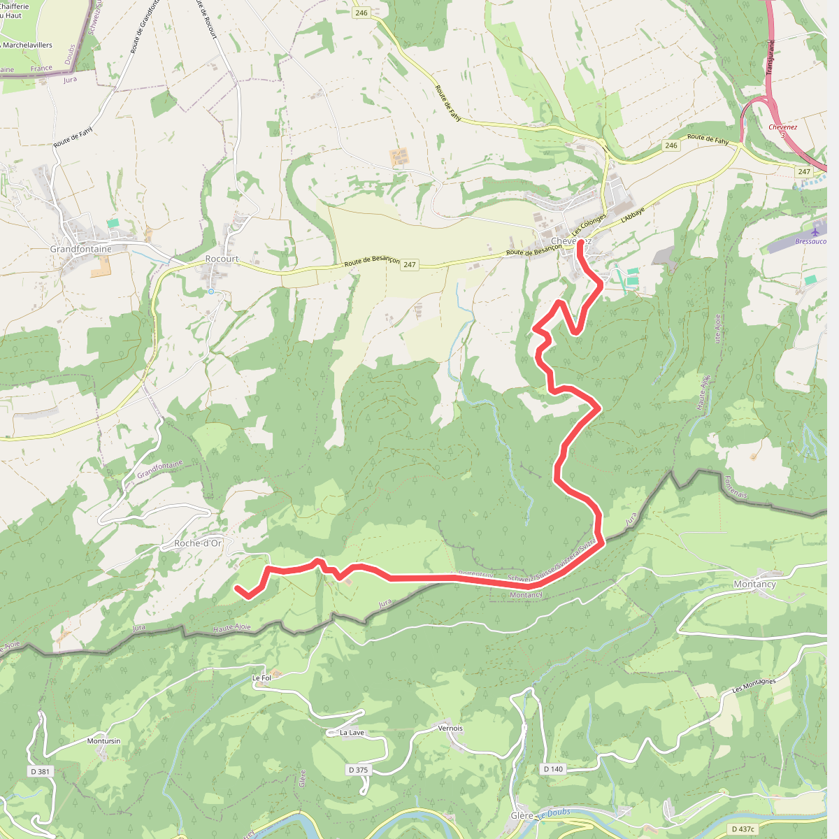
#11. Chevenez - Tour de Faux d'Enson
Haute-Ajoie
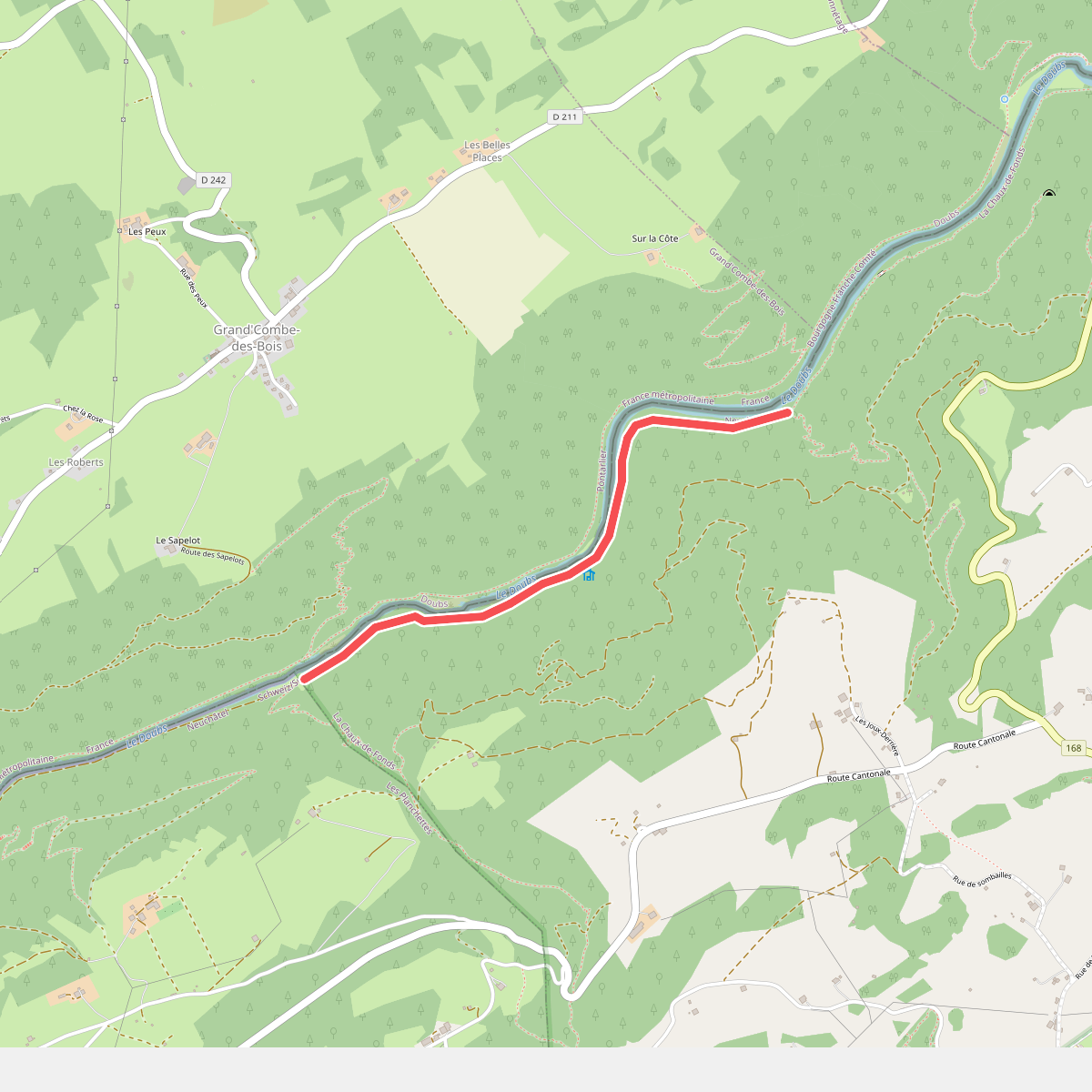
#12. Chez Bonaparte - Les Graviers
La Chaux-de-Fonds



