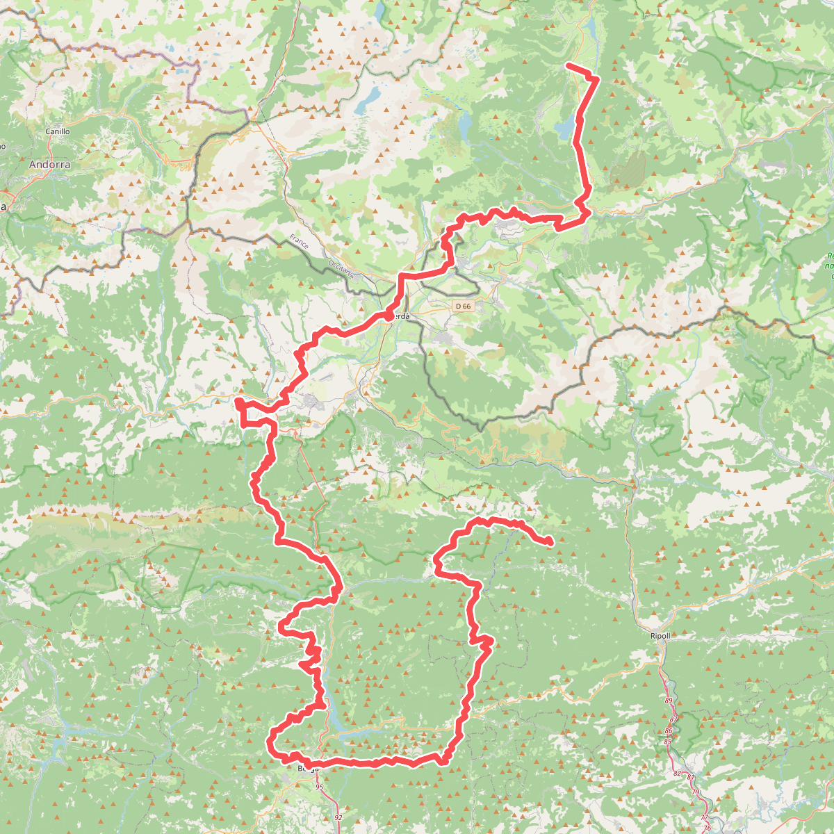
The best hiking routes in Parc naturel régional des Pyrénées catalanes
Discover the best walks in Parc naturel régional des Pyrénées catalanes. 60 routes on the map, with descriptions, photos and GPX.
About Parc naturel régional des Pyrénées catalanes
The Parc naturel régional des Pyrénées catalanes offers a transition between high-altitude Mediterranean environments and alpine terrain. Walkers here will find a contrast between the dry, granite-strewn scrub of the lower valleys and the damp, peat-filled meadows of the Carlit massif. Unlike the sheer limestone walls of the western Pyrenees, this eastern sector is characterized by wide, high-altitude plateaus like the Capcir, where flat, pine-forested tracks run alongside slow-flowing streams, and the steep, rocky ascents of the Canigou massif, where the paths turn to loose scree and granite steps.
Read more
About Parc naturel régional des Pyrénées catalanes
The Parc naturel régional des Pyrénées catalanes offers a transition between high-altitude Mediterranean environments and alpine terrain. Walkers here will find a contrast between the dry, granite-strewn scrub of the lower valleys and the damp, peat-filled meadows of the Carlit massif. Unlike the sheer limestone walls of the western Pyrenees, this eastern sector is characterized by wide, high-altitude plateaus like the Capcir, where flat, pine-forested tracks run alongside slow-flowing streams, and the steep, rocky ascents of the Canigou massif, where the paths turn to loose scree and granite steps.
Read moreThe Parc naturel régional des Pyrénées catalanes offers a transition between high-altitude Mediterranean environments and alpine terrain. Walkers here will find a contrast between the dry, granite-strewn scrub of the lower valleys and the damp, peat-filled meadows of the Carlit massif. Unlike the sheer limestone walls of the western Pyrenees, this eastern sector is characterized by wide, high-altitude plateaus like the Capcir, where flat, pine-forested tracks run alongside slow-flowing streams, and the steep, rocky ascents of the Canigou massif, where the paths turn to loose scree and granite steps.
Underfoot, the trails vary from soft, needle-covered soil in the extensive Scots pine forests to rough, stony paths shaped by winter snowmelt. In the wetter depressions and around the glacial lakes of the Bouillouses area, wooden boardwalks protect the boggy turf from erosion, while the lower sun-exposed slopes feature dusty, gravelly tracks bordered by broom and wild thyme. The landscape is shaped by centuries of pastoral farming, visible in the dry-stone walls and active summer pastures that keep the high ridges open.
This area is not a place for those seeking dense, unbroken deciduous forests or low-lying clay wetlands. Instead, it is a region of open, sun-drenched granite ridges and high, cold valleys. While the lakeside paths near major road access points can be busy with visitors in July and August, the higher, rocky trails leading toward the summits remain much quieter, offering direct contact with a rugged, wind-scoured mountain environment.
Hiking routes in Parc naturel régional des Pyrénées catalanes (60)
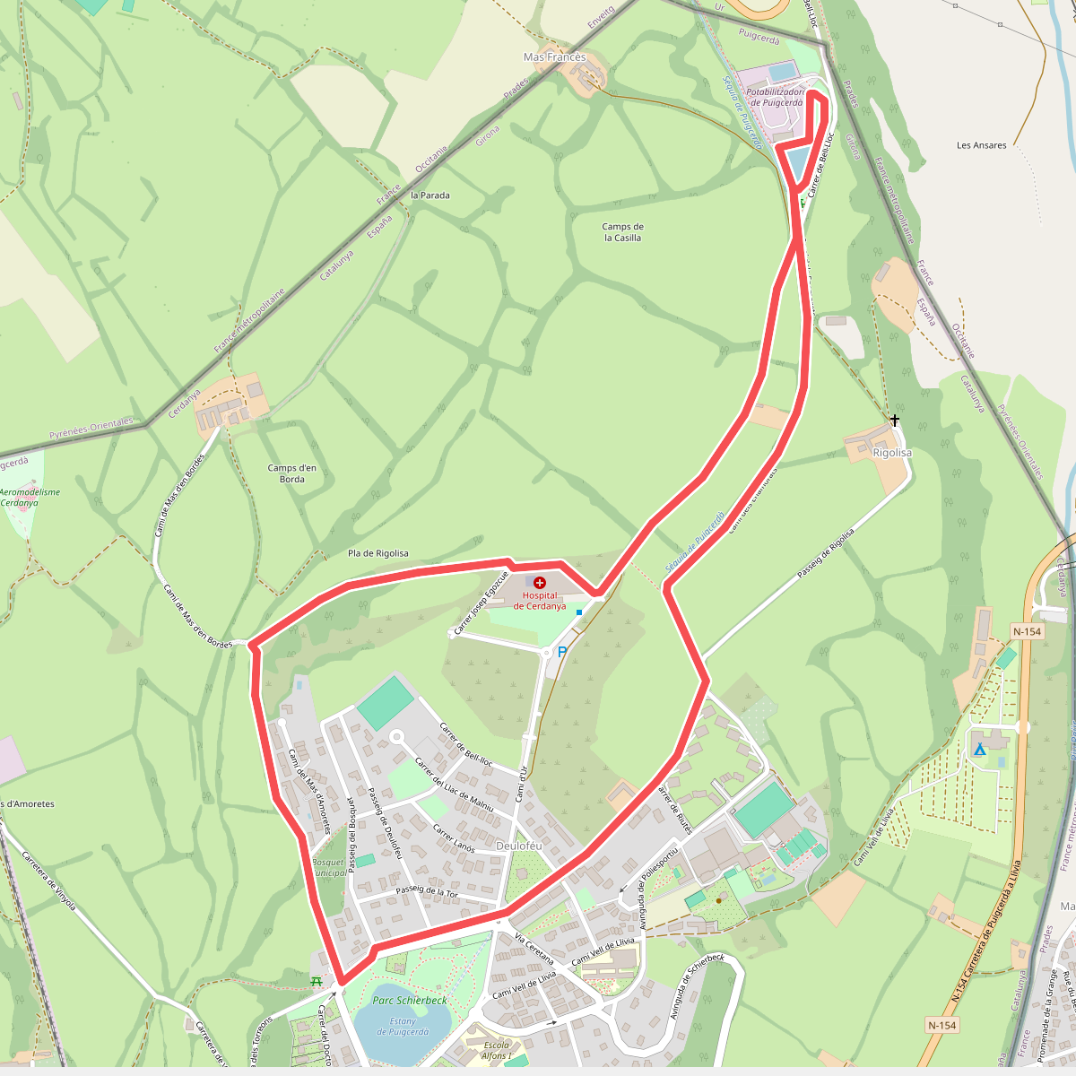
#1. Bosquet de Puigcerdà llac de Torniquet
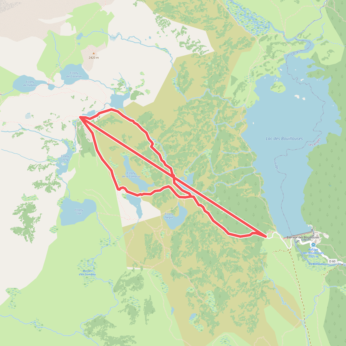
#2. Boucle des etangs du Carlit (variante 9 lacs)
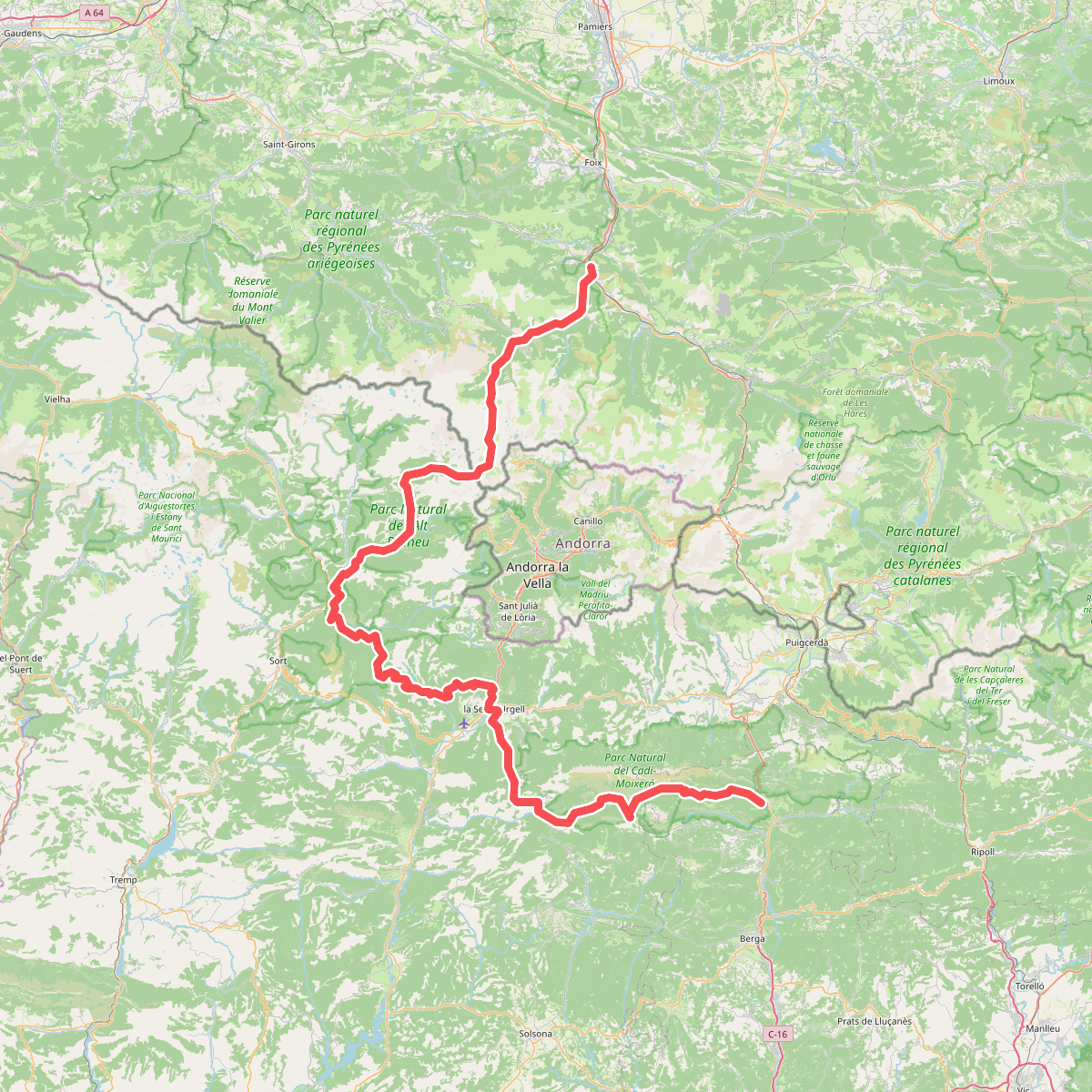
#3. Camí de l'Últim Càtar
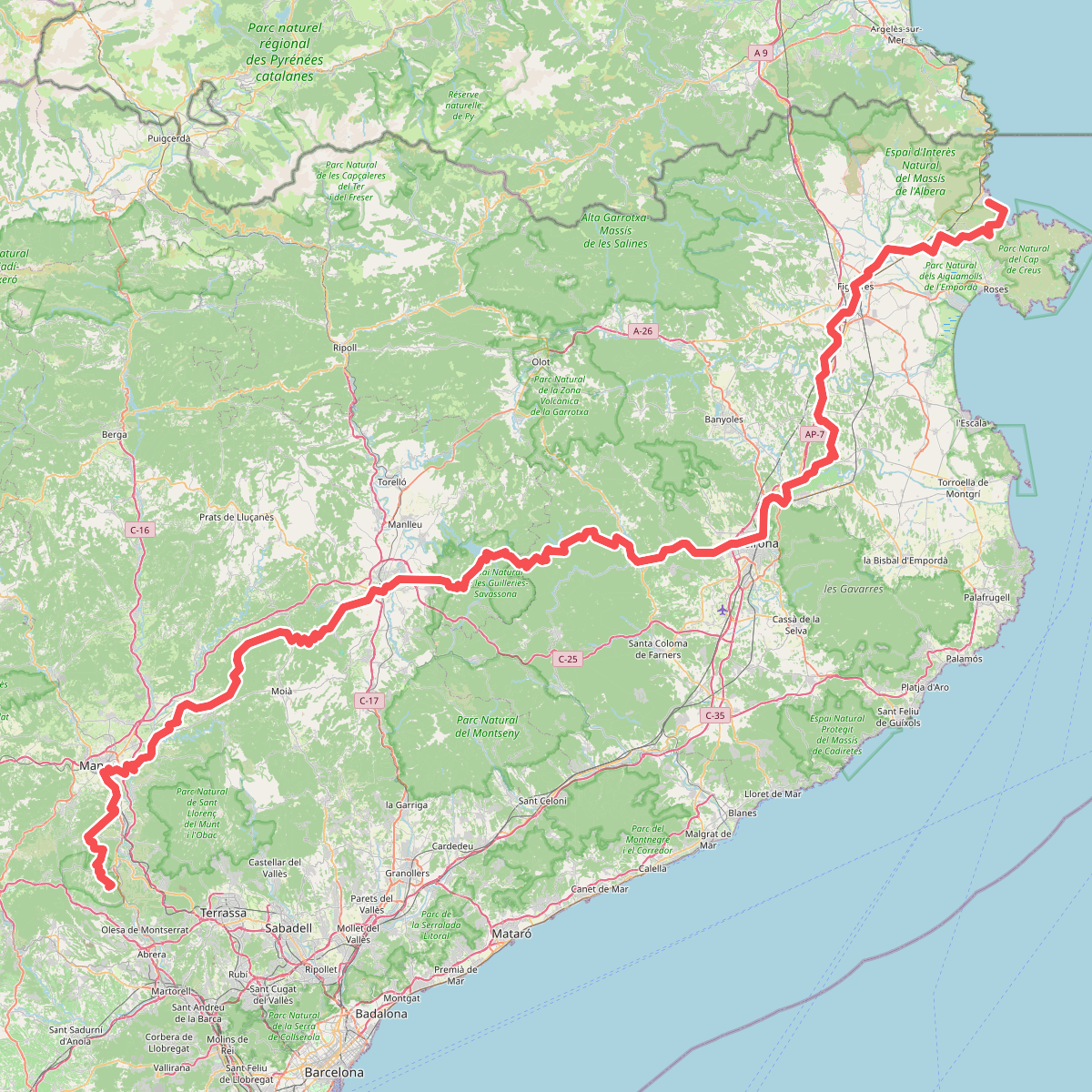
#4. Camí de Sant Jaume (Sant Pere de Rodes - Montserrat)
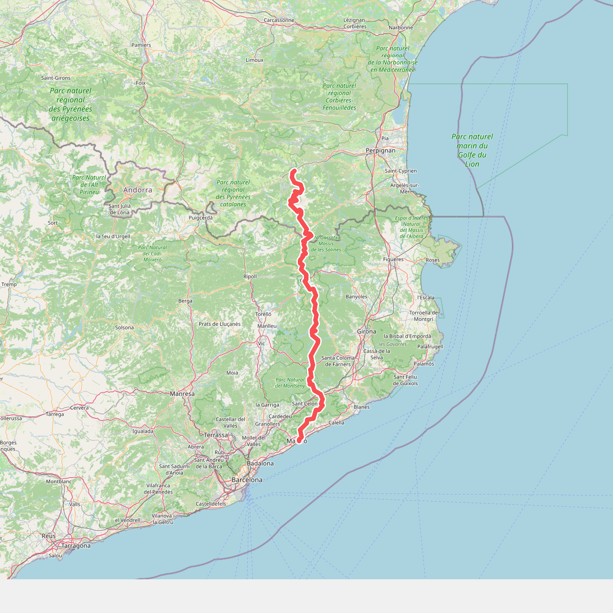
#5. Camí del nord o del Canigó
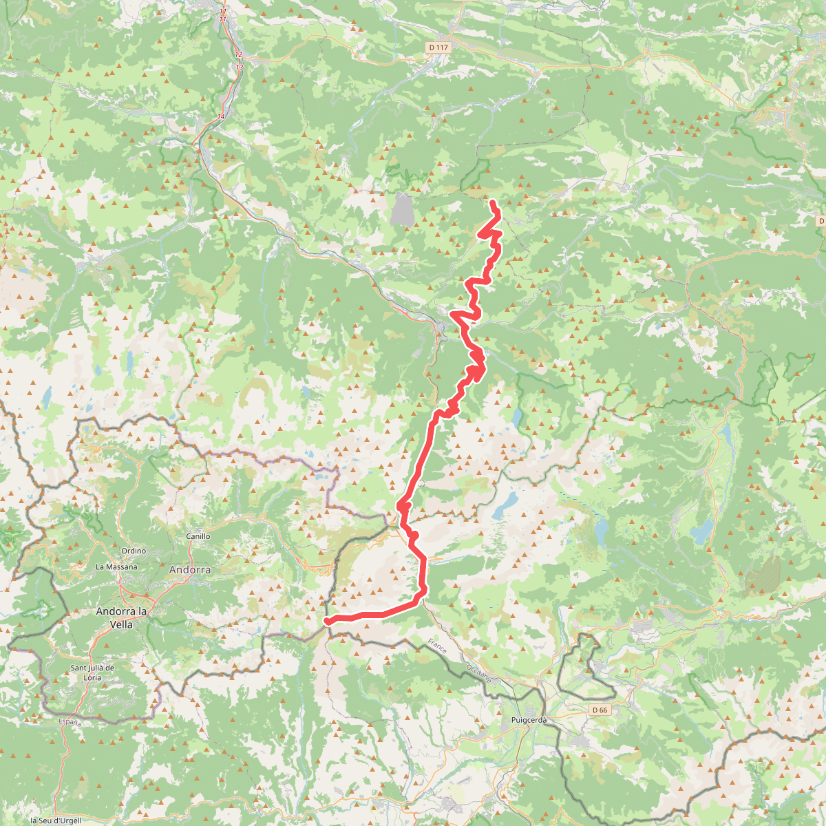
#6. Camí dels bons homes - França · Portella Blanca – Comus
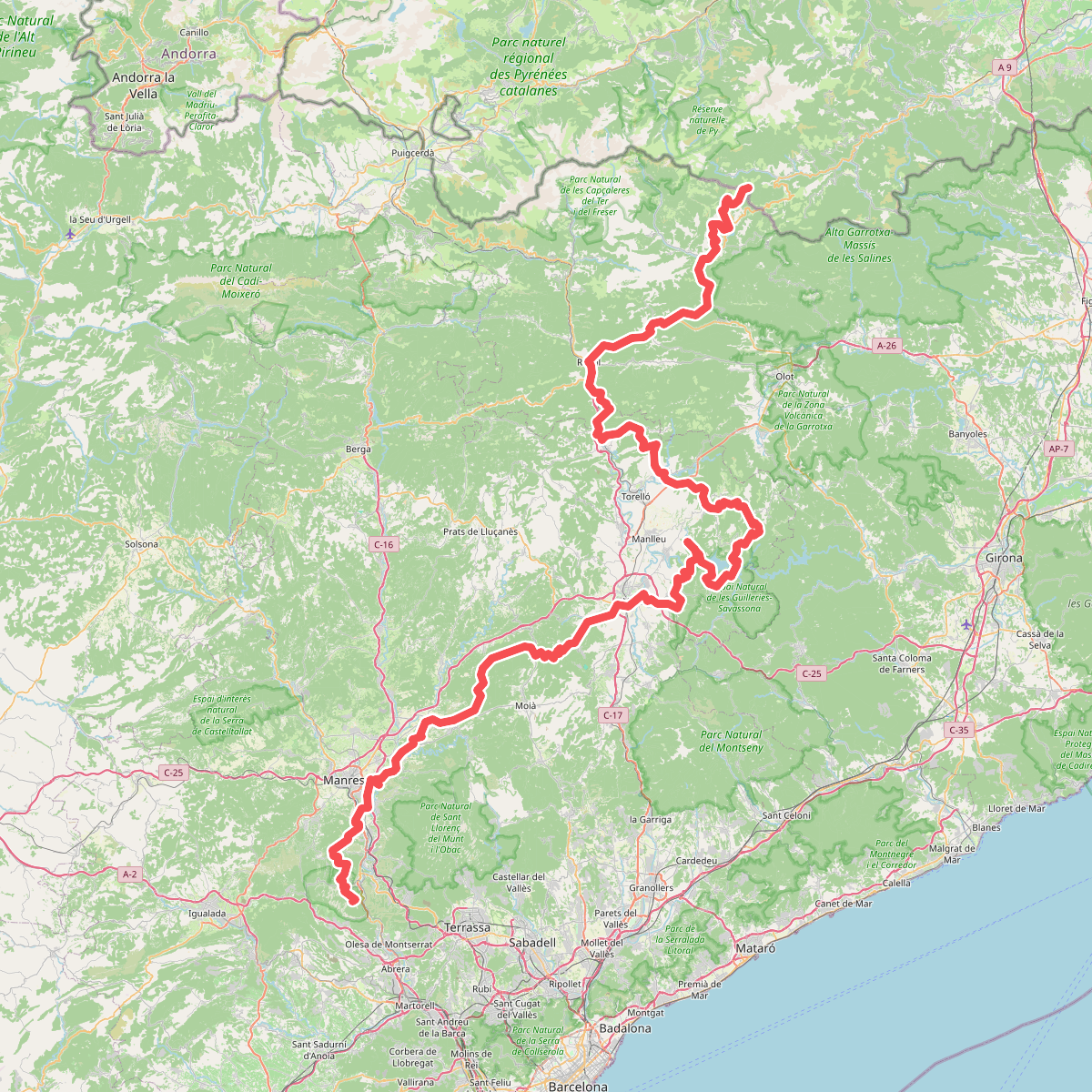
#7. Camí Oliba
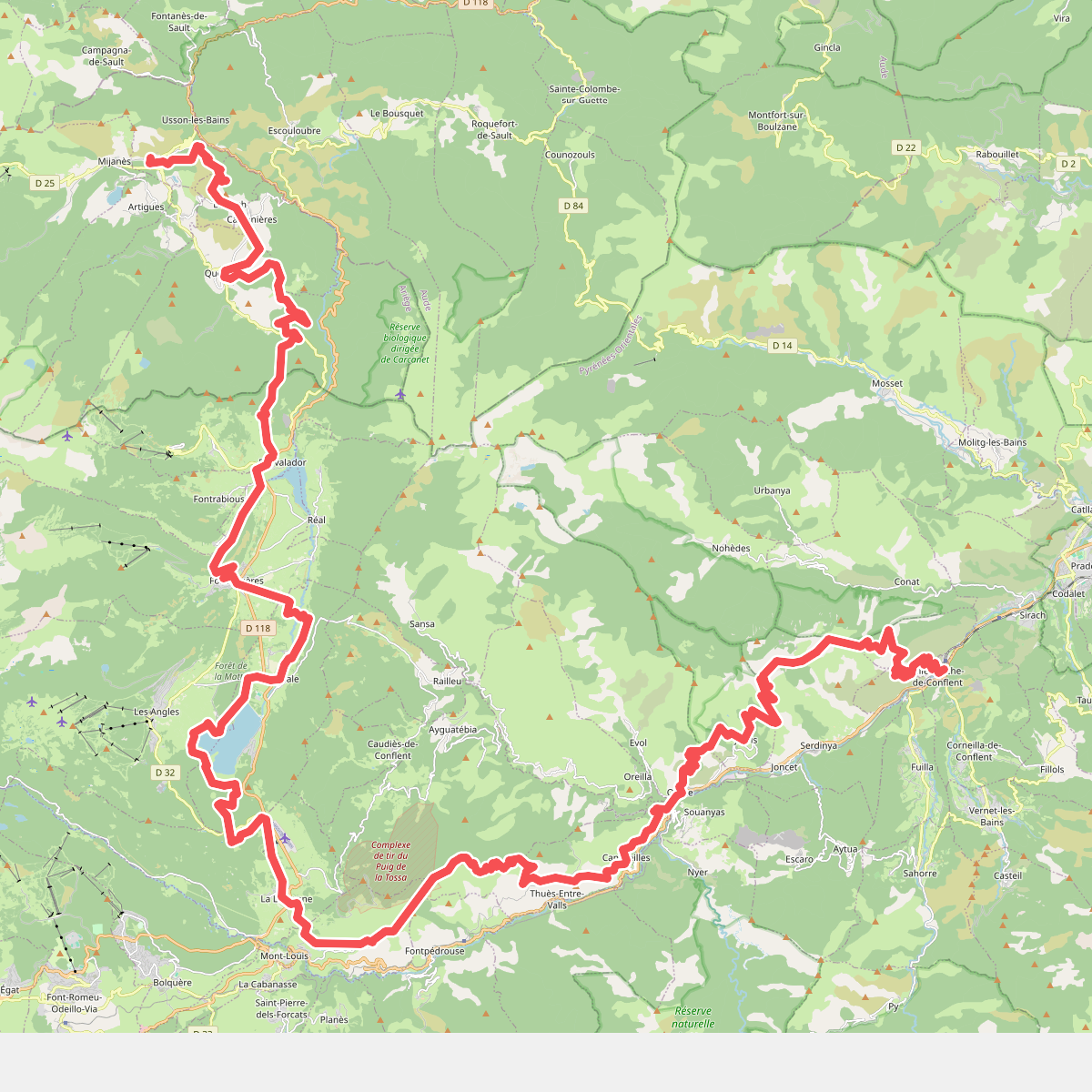
#8. Chemin Vauban
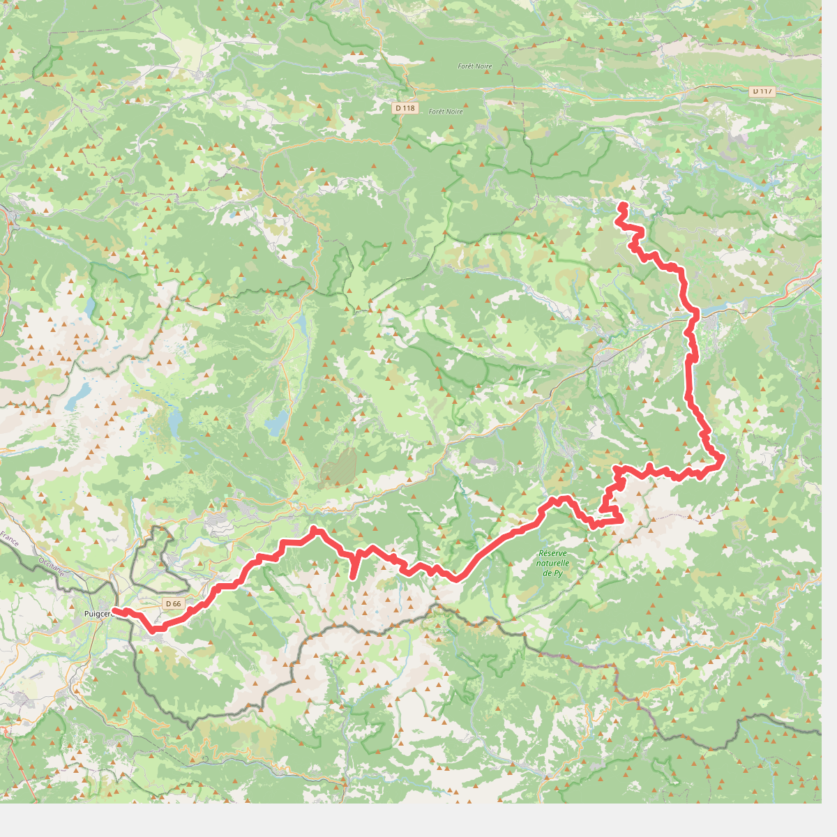
#9. De la Manche aux Pyrénées 24, Sournia - Bourg-Madame
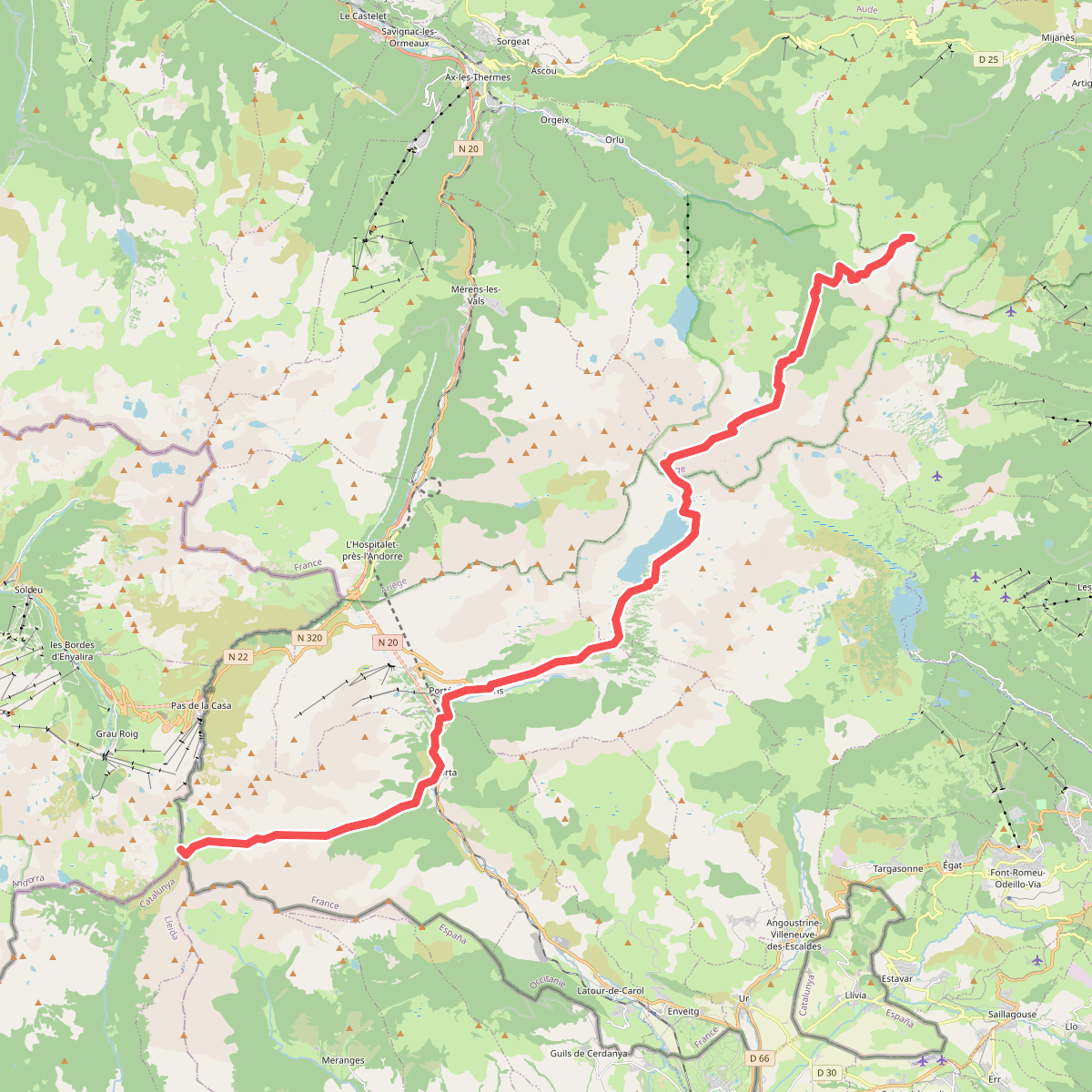
#10. Des Vosges aux Pyrénées 14, Porte de Barboilliere - Portella Blanca d'Andorra
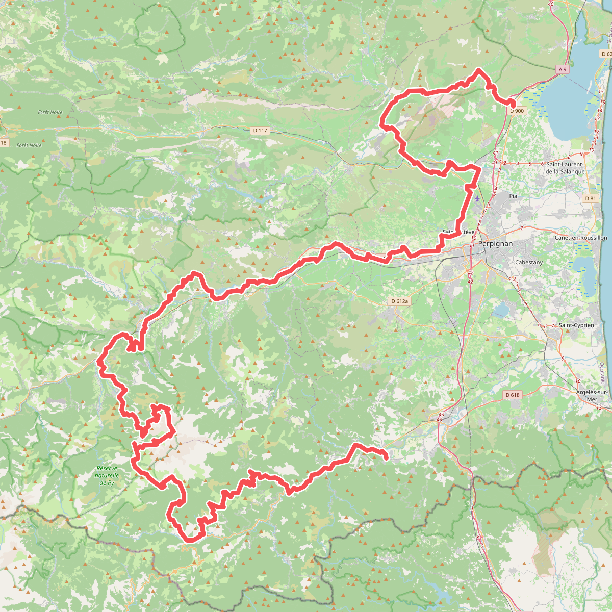
#11. El Camí IT1TR1 El Camí Capçaler: de Salzes a Balaguer