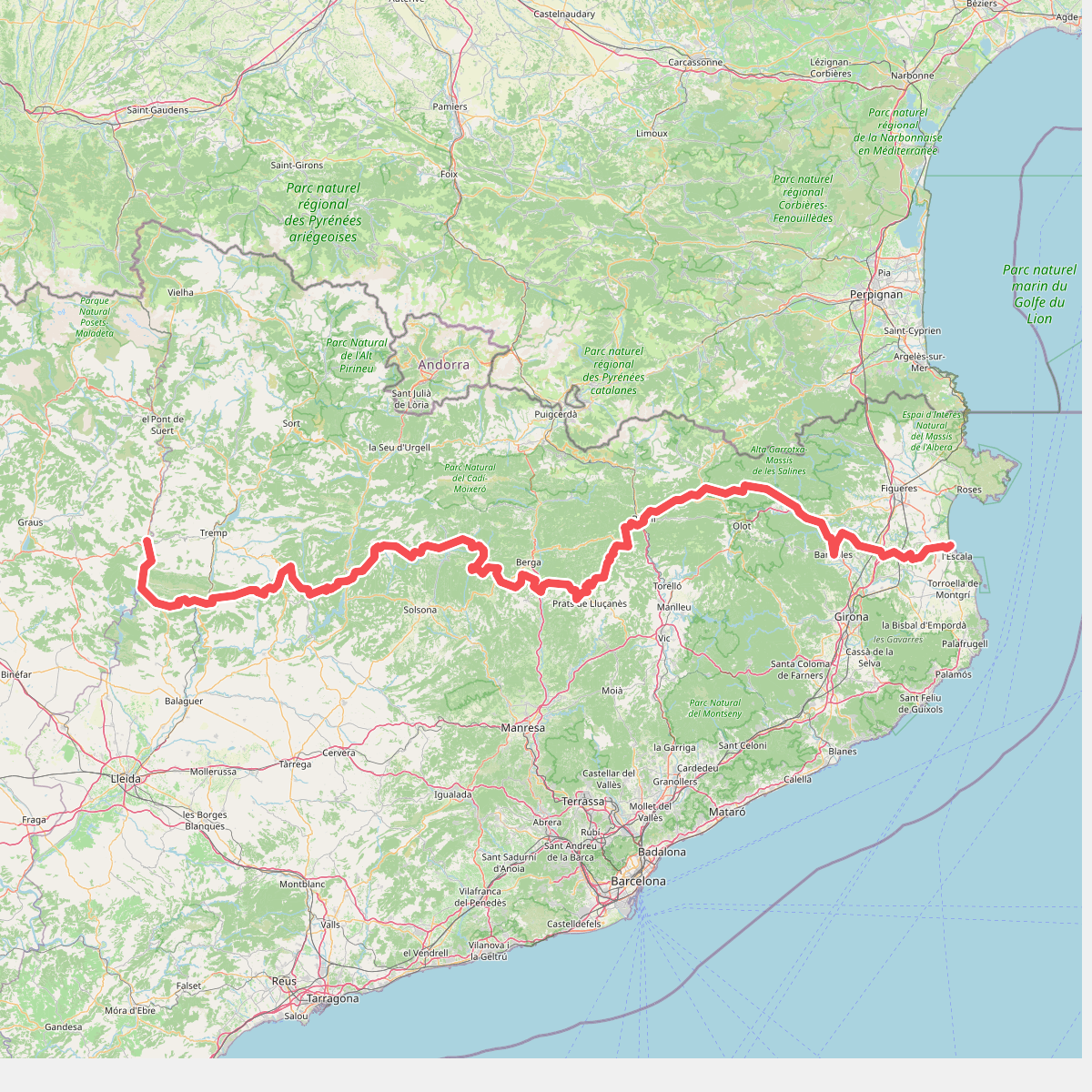
The best hiking routes in Parc Natural dels Aiguamolls de l'Empordà
Discover the best walks in Parc Natural dels Aiguamolls de l'Empordà. 9 routes on the map, with descriptions, photos and GPX.
About Parc Natural dels Aiguamolls de l'Empordà
Parc Natural dels Aiguamolls de l'Empordà is a flat coastal wetland shaped by the Fluvià and Muga rivers, where freshwater lagoons, brackish marshes, and dry pastures form a complex mosaic. Unlike the rocky cliffs of the nearby Cap de Creus, this landscape is entirely level, defined by reedbeds, tamarisks, and salt-tolerant glasswort scrub. Walkers will notice how quickly the terrain shifts from damp meadows to sandy coastal dunes as they move toward the shoreline.
Read more
About Parc Natural dels Aiguamolls de l'Empordà
Parc Natural dels Aiguamolls de l'Empordà is a flat coastal wetland shaped by the Fluvià and Muga rivers, where freshwater lagoons, brackish marshes, and dry pastures form a complex mosaic. Unlike the rocky cliffs of the nearby Cap de Creus, this landscape is entirely level, defined by reedbeds, tamarisks, and salt-tolerant glasswort scrub. Walkers will notice how quickly the terrain shifts from damp meadows to sandy coastal dunes as they move toward the shoreline.
Read moreParc Natural dels Aiguamolls de l'Empordà is a flat coastal wetland shaped by the Fluvià and Muga rivers, where freshwater lagoons, brackish marshes, and dry pastures form a complex mosaic. Unlike the rocky cliffs of the nearby Cap de Creus, this landscape is entirely level, defined by reedbeds, tamarisks, and salt-tolerant glasswort scrub. Walkers will notice how quickly the terrain shifts from damp meadows to sandy coastal dunes as they move toward the shoreline.
The walking infrastructure relies heavily on raised wooden boardwalks and wide, flat dirt tracks that keep you above the wettest sections of the marsh. These paths lead to numerous wooden bird hides overlooking the lagoons, such as El Cortalet. Underfoot, the ground is mostly hard-packed earth and gravel, though sections closer to the beach transition into soft sand. There are no hills or steep climbs here, making the walking physically easy but highly exposed to the elements.
In spring, particularly during April and May, the freshwater pools swell and attract thousands of migrating birds, making the hides around El Cortalet busy with observers. By late autumn, the water levels in the salt marshes recede, exposing cracked mud flats and changing the color of the vegetation to deep reds and browns. While the main routes near the information centers are well-traveled, the longer loops toward the beach offer a quieter, more open walking experience.
Hiking routes in Parc Natural dels Aiguamolls de l'Empordà (9)
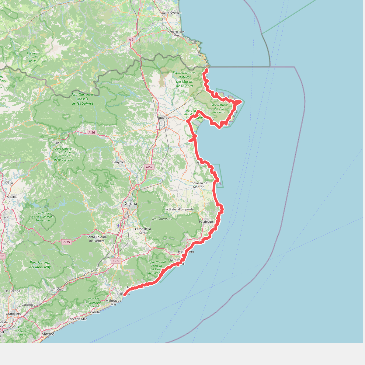
#1. Camí de Ronda
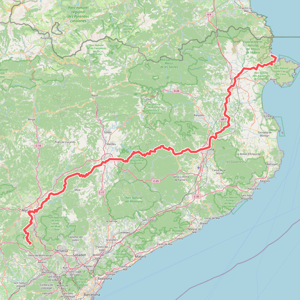
#2. Camí de Sant Jaume (Sant Pere de Rodes - Montserrat)
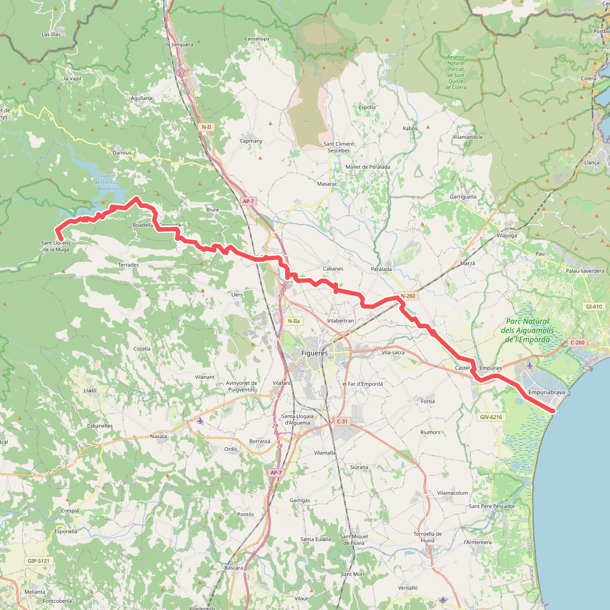
#3. Camí natural de La Muga
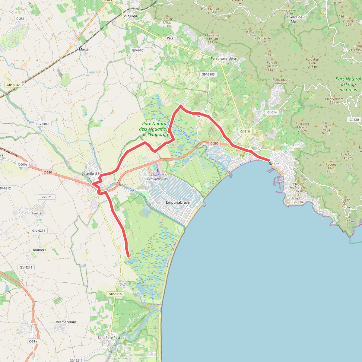
#4. Catalunya E04
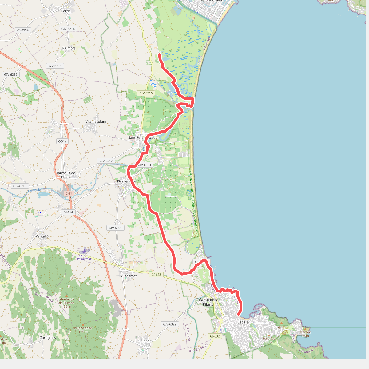
#5. Catalunya E05
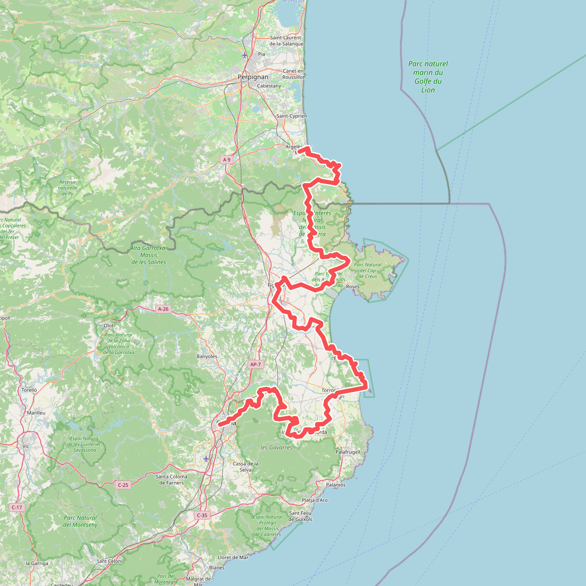
#6. El Camí IT7TR5 El Camí de Llevant: de Montserrat a Salses
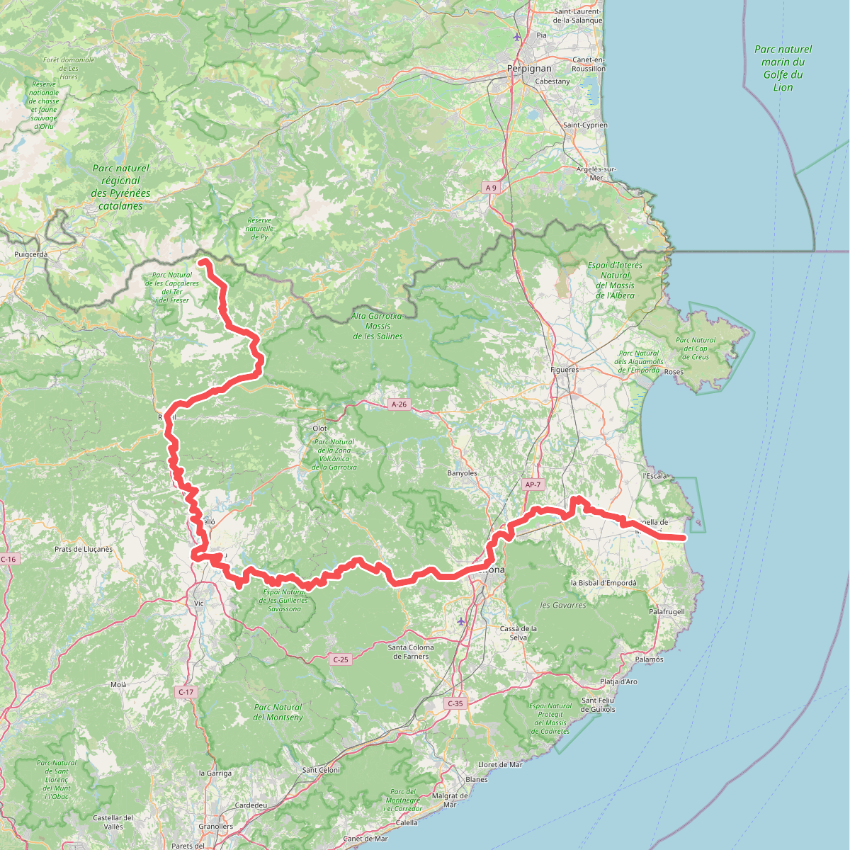
#7. Ruta del Ter
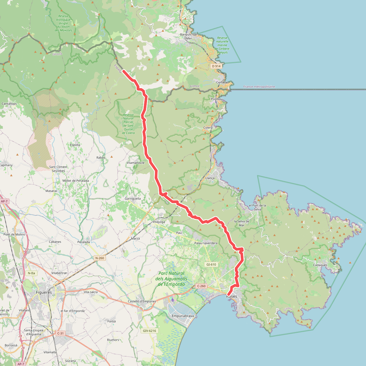
#8. Ruta dels 4 refugis de Tramuntana. Etapa: Roses <=> Refugi del Coll de Banyuls