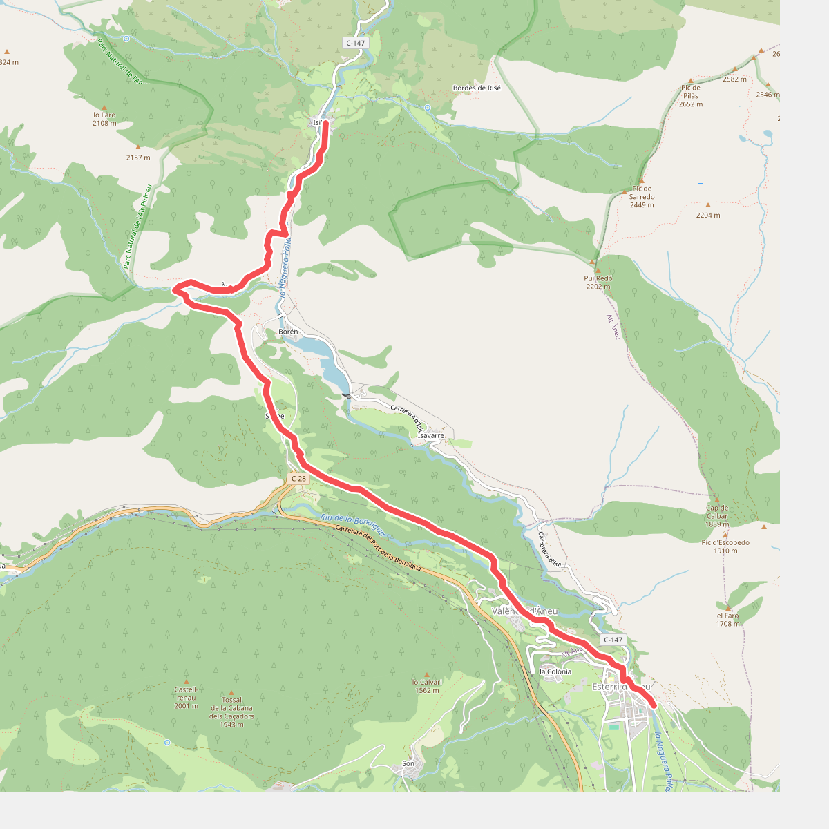
The best hiking routes in Parc Natural de l'Alt Pirineu
Discover the best walks in Parc Natural de l'Alt Pirineu. 53 routes on the map, with descriptions, photos and GPX.
About Parc Natural de l'Alt Pirineu
Parc Natural de l'Alt Pirineu is defined by its extreme verticality and high-altitude slate geology. Unlike softer limestone ranges, this Catalan Pyrenean terrain is dominated by dark, brittle shale and schist, which crumble into sharp scree slopes underfoot. Walkers will notice how the lower pine and oak forests abruptly give way to vast alpine meadows and glacial cirques above two thousand metres. The paths here are predominantly rocky, steep mule tracks and rough mountain trails, rather than smooth gravel paths.
Read more
About Parc Natural de l'Alt Pirineu
Parc Natural de l'Alt Pirineu is defined by its extreme verticality and high-altitude slate geology. Unlike softer limestone ranges, this Catalan Pyrenean terrain is dominated by dark, brittle shale and schist, which crumble into sharp scree slopes underfoot. Walkers will notice how the lower pine and oak forests abruptly give way to vast alpine meadows and glacial cirques above two thousand metres. The paths here are predominantly rocky, steep mule tracks and rough mountain trails, rather than smooth gravel paths.
Read moreParc Natural de l'Alt Pirineu is defined by its extreme verticality and high-altitude slate geology. Unlike softer limestone ranges, this Catalan Pyrenean terrain is dominated by dark, brittle shale and schist, which crumble into sharp scree slopes underfoot. Walkers will notice how the lower pine and oak forests abruptly give way to vast alpine meadows and glacial cirques above two thousand metres. The paths here are predominantly rocky, steep mule tracks and rough mountain trails, rather than smooth gravel paths.
Water is a constant presence in the landscape, visible as high-altitude glacial tarns, known locally as estanys, and rushing torrents that cut through the hanging valleys. In July and August, these upper pastures are clear of snow, revealing damp peat bogs and alpine grasslands where herds of horses and cows graze. The terrain requires careful footwork, as trail markers are often painted directly onto boulders, and paths can be obscured by loose stone chutes.
This park is not a place for gentle, rolling strolls or manicured boardwalks. It demands physical effort, with most routes involving significant elevation gain to reach the passes. While the well-known trail to the summit of Pica d'Estats attracts many walkers, the surrounding lateral valleys offer quieter, more demanding routes through rugged slate landscapes where the scale of the Pyrenean axis is fully apparent.
Hiking routes in Parc Natural de l'Alt Pirineu (53)
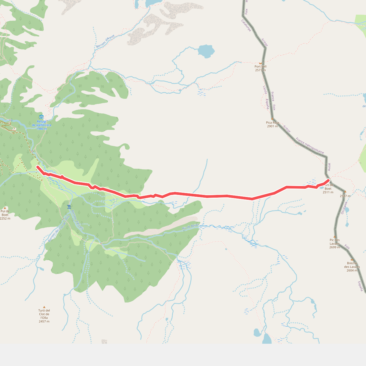
#1. Àrea d'esbarjo de Boet al Port de Boet
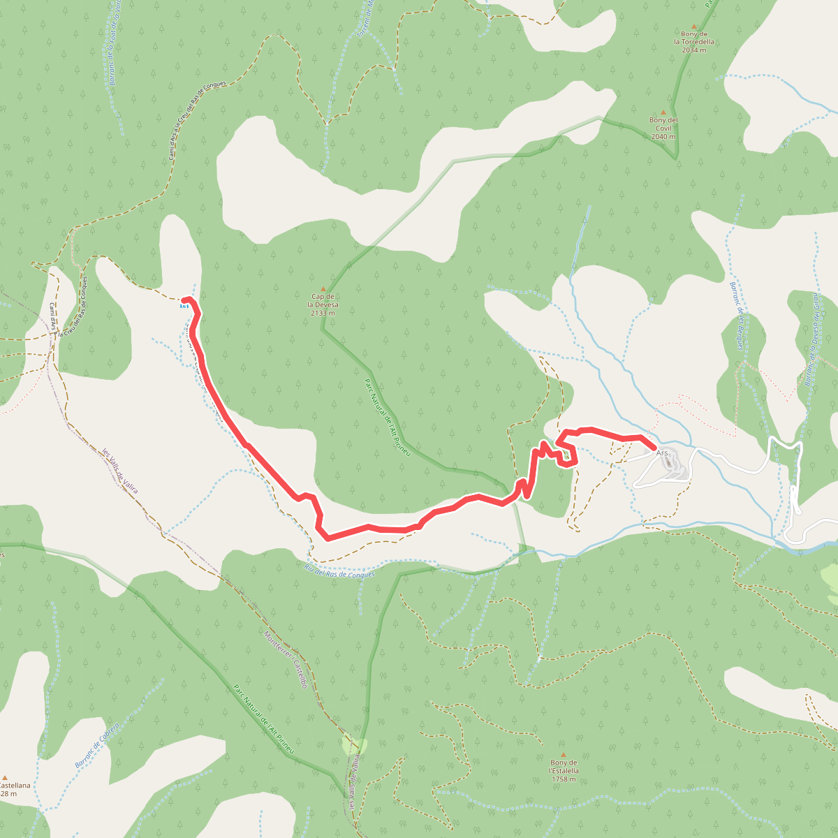
#2. Ars-Refugi Ras de Conques
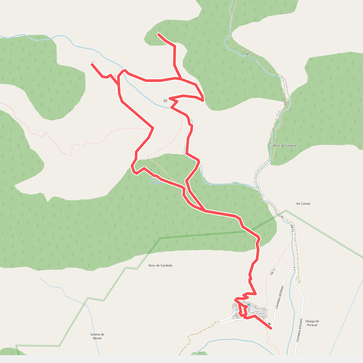
#3. Bordes de Cardedo
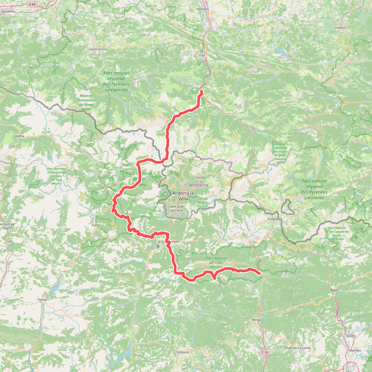
#4. Camí de l'Últim Càtar
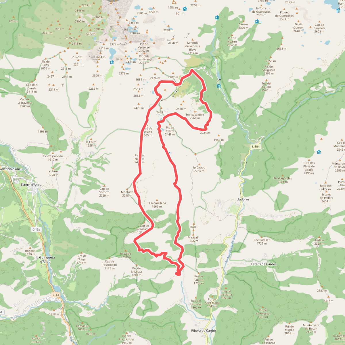
#5. Camí del sol
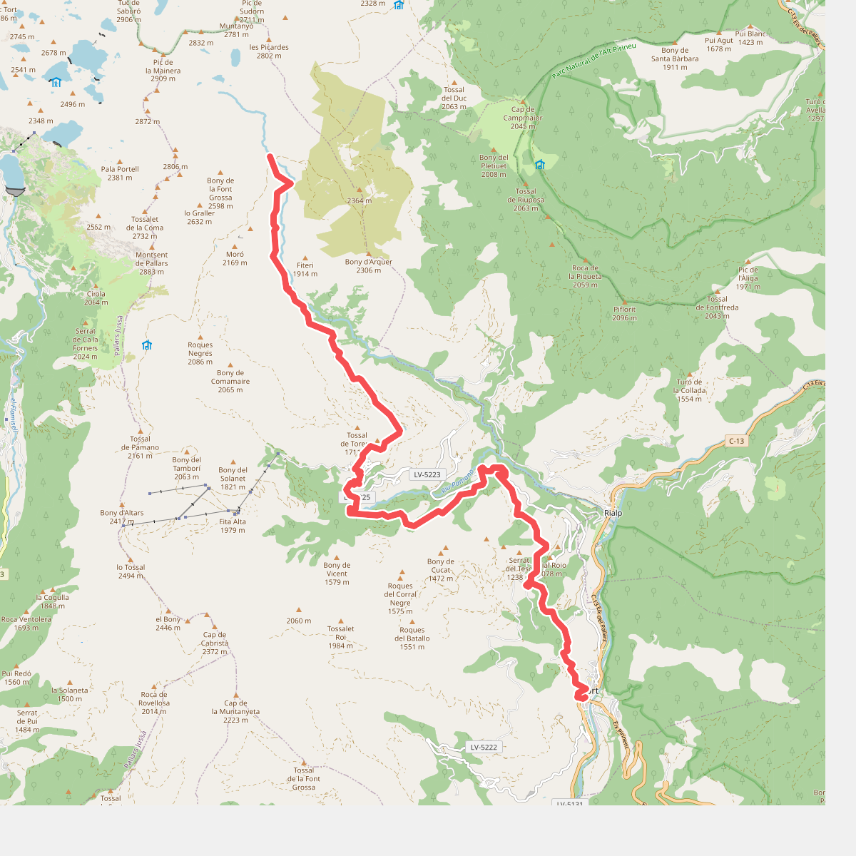
#6. Camí Natural de Sort i la Vall d'Àssua
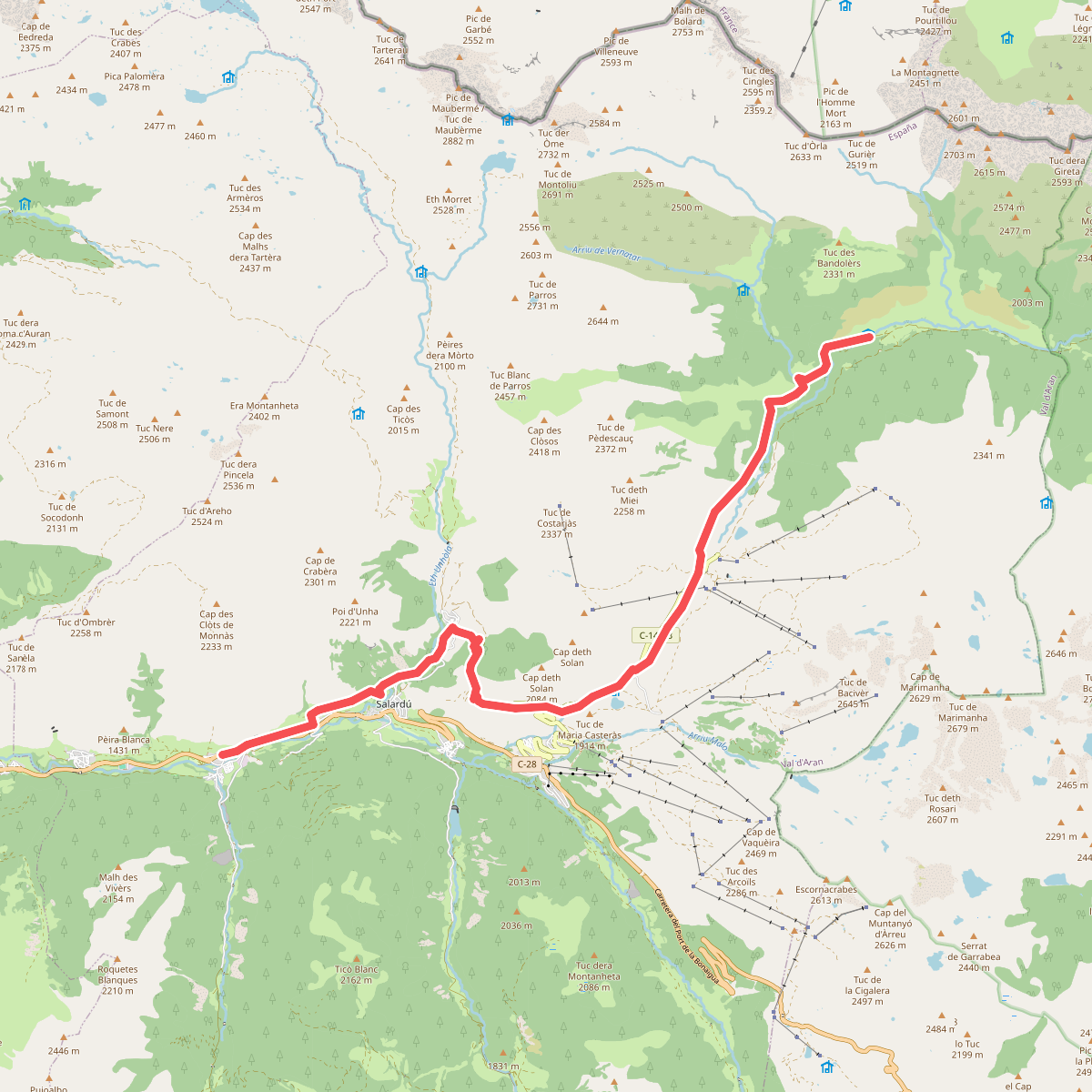
#7. Camin Reiau - Etapa 3
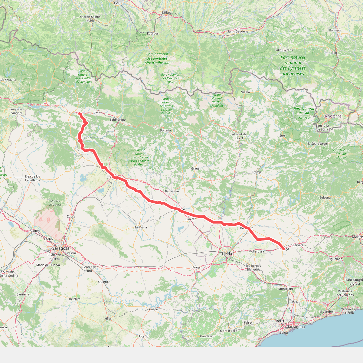
#8. Camino de Santiago por Huesca
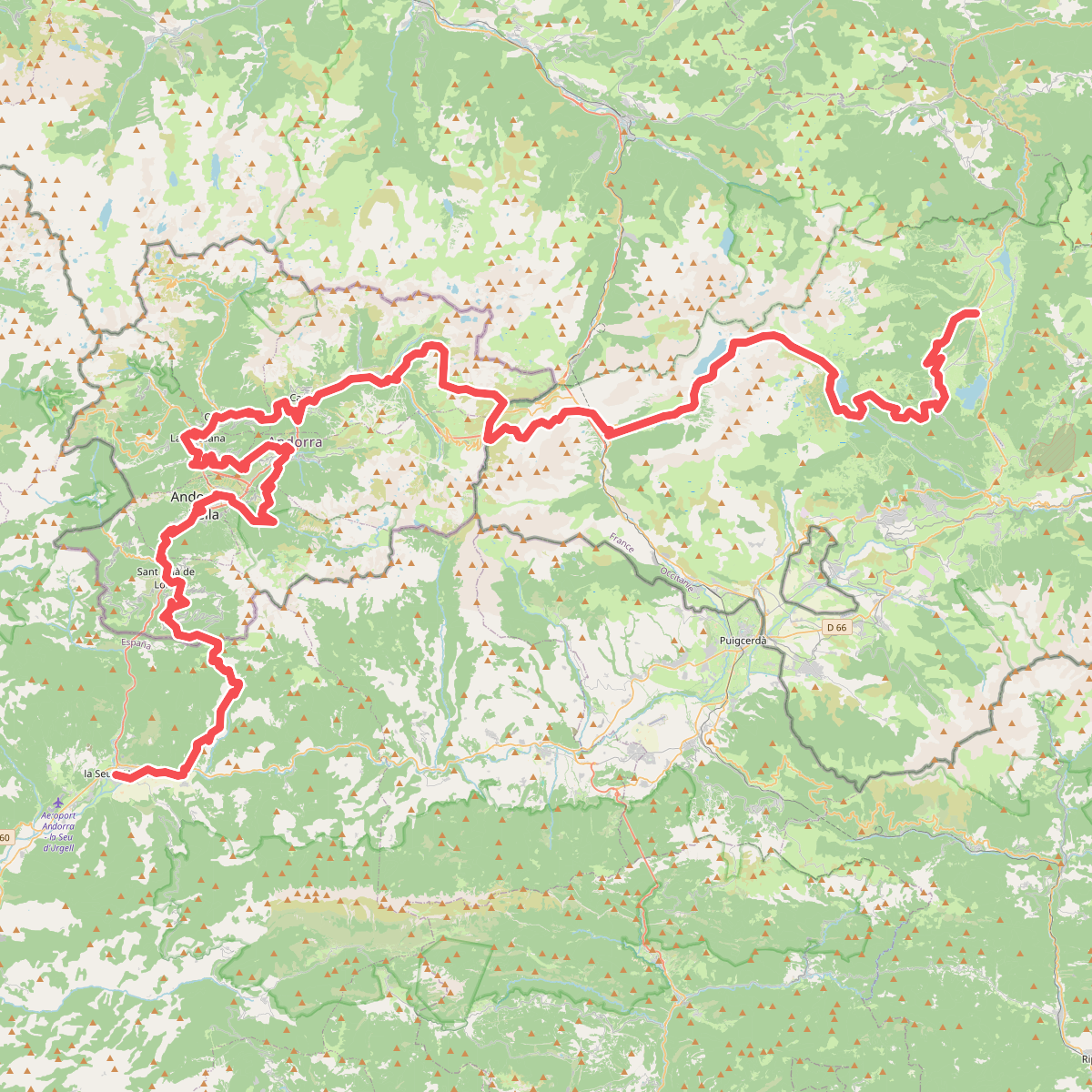
#9. El Camí IT1TR5 El Camí Capçaler: de Salzes a Balaguer
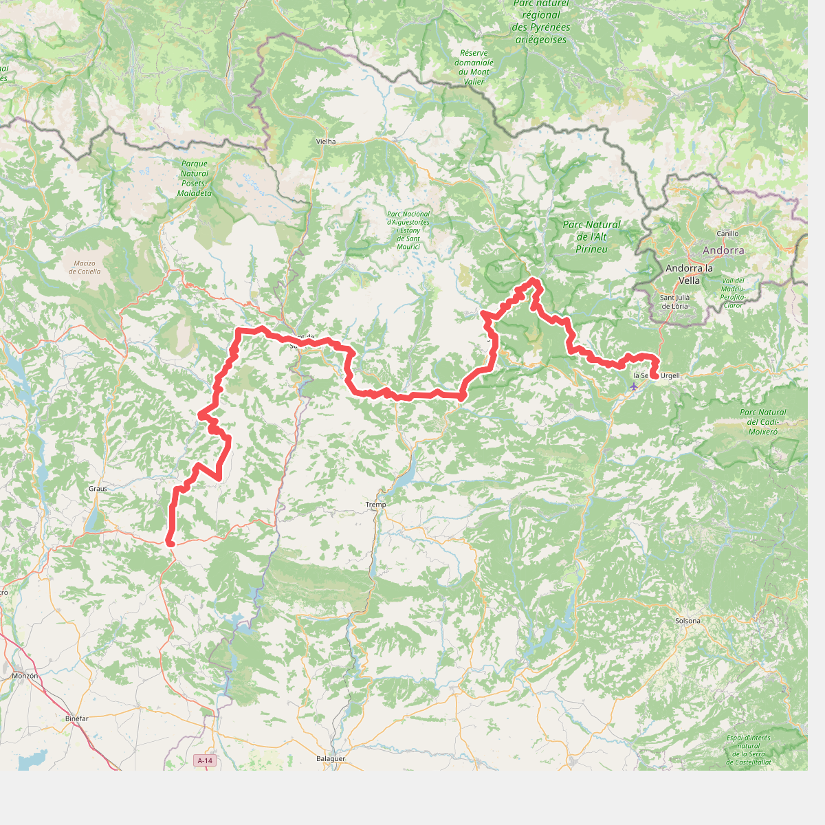
#10. El Camí IT1TR6 El Camí Capçaler: de Salzes a Balaguer
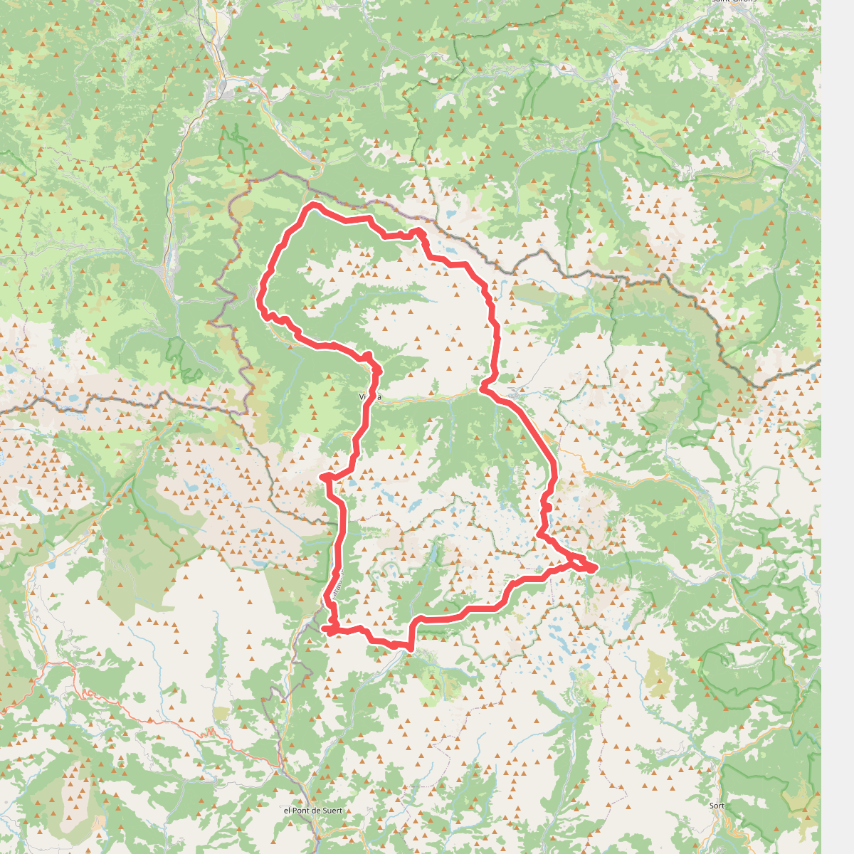
#11. el Gran Bucle