The best hiking routes in Parc national du Mercantour (aire d'adhésion)
Discover the best walks in Parc national du Mercantour (aire d'adhésion). 128 routes on the map, with descriptions, photos and GPX.
About Parc national du Mercantour (aire d'adhésion)
Parc national du Mercantour (aire d'adhésion) represents the inhabited, gentler buffer zone surrounding the uninhabited core of the national park. Unlike the rugged, high-altitude peaks of the core zone, this partnership area consists of working valleys, terraced hillsides, and mountain villages. The landscape here is shaped by centuries of pastoral farming, where you will walk past stone barns, olive groves at lower elevations, and larch forests higher up, rather than barren rock fields. Underfoot, the paths are mostly ancient mule tracks, stony dirt trails, and occasional paved lanes connecting the hamlets.
Read more
About Parc national du Mercantour (aire d'adhésion)
Parc national du Mercantour (aire d'adhésion) represents the inhabited, gentler buffer zone surrounding the uninhabited core of the national park. Unlike the rugged, high-altitude peaks of the core zone, this partnership area consists of working valleys, terraced hillsides, and mountain villages. The landscape here is shaped by centuries of pastoral farming, where you will walk past stone barns, olive groves at lower elevations, and larch forests higher up, rather than barren rock fields. Underfoot, the paths are mostly ancient mule tracks, stony dirt trails, and occasional paved lanes connecting the hamlets.
Read moreParc national du Mercantour (aire d'adhésion) represents the inhabited, gentler buffer zone surrounding the uninhabited core of the national park. Unlike the rugged, high-altitude peaks of the core zone, this partnership area consists of working valleys, terraced hillsides, and mountain villages. The landscape here is shaped by centuries of pastoral farming, where you will walk past stone barns, olive groves at lower elevations, and larch forests higher up, rather than barren rock fields. Underfoot, the paths are mostly ancient mule tracks, stony dirt trails, and occasional paved lanes connecting the hamlets.
Because this is a lived-in landscape, your walks will often cross active pastures where sheep and cows graze. The terrain rises from Mediterranean scrub in the southern valleys to subalpine meadows further north, meaning the vegetation changes noticeably within a single day of walking. You will notice dry-stone walls holding up old cultivation terraces, a sign of how local communities adapted to the steep slopes.
In late June, the higher pastures of this zone fill with wildflowers before the summer heat dries the grass. While the core park area attracts those seeking steep climbs and glacial lakes, this outer zone is suited for those who prefer walking between historic mountain villages, where trailheads are easily accessible and the terrain, though steep in places, remains below the high-altitude scree slopes.
Hiking routes in Parc national du Mercantour (aire d'adhésion) (128)
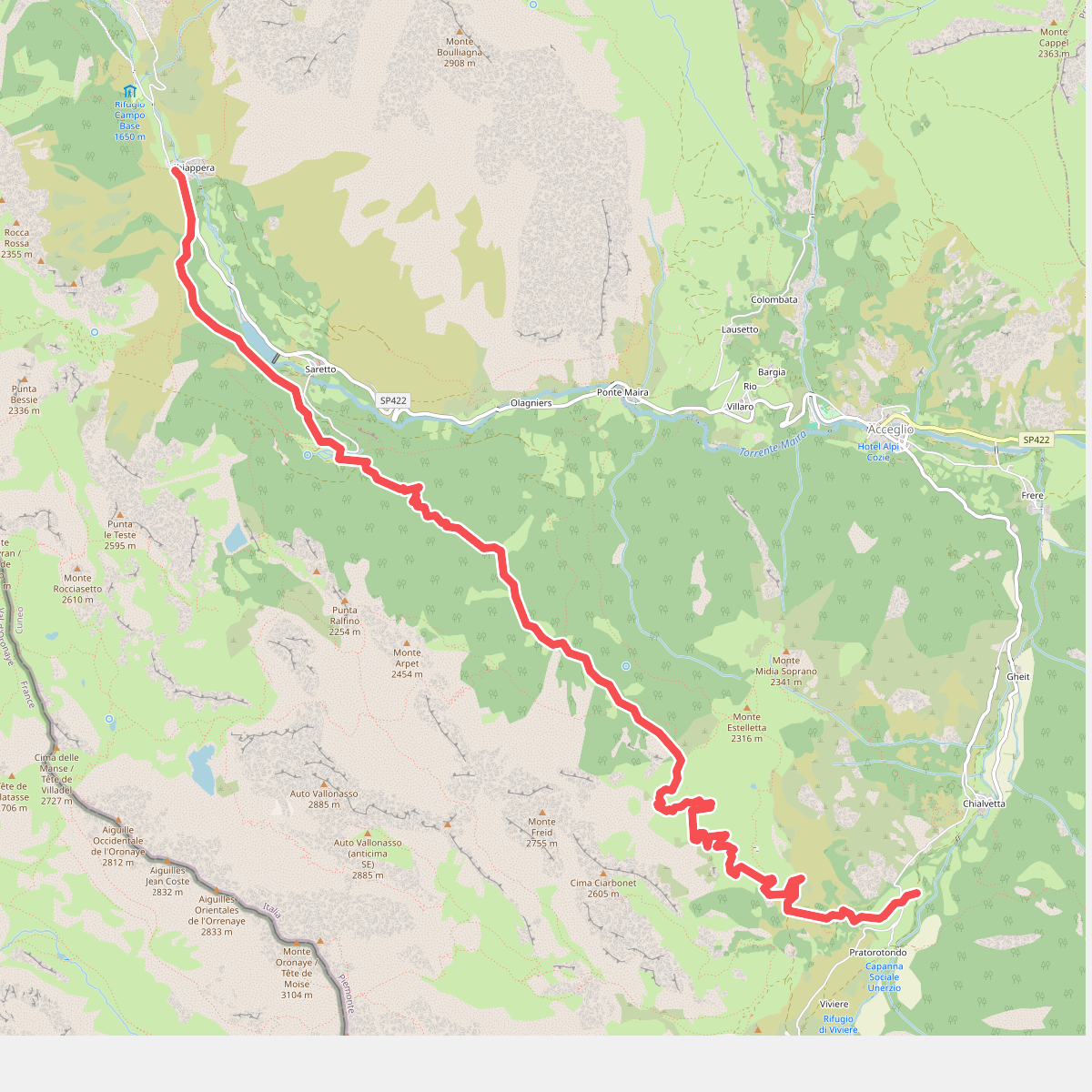
#1. Alte Valli - Tappa 05
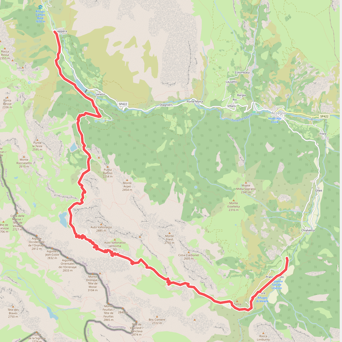
#2. Alte Valli - Tappa 06
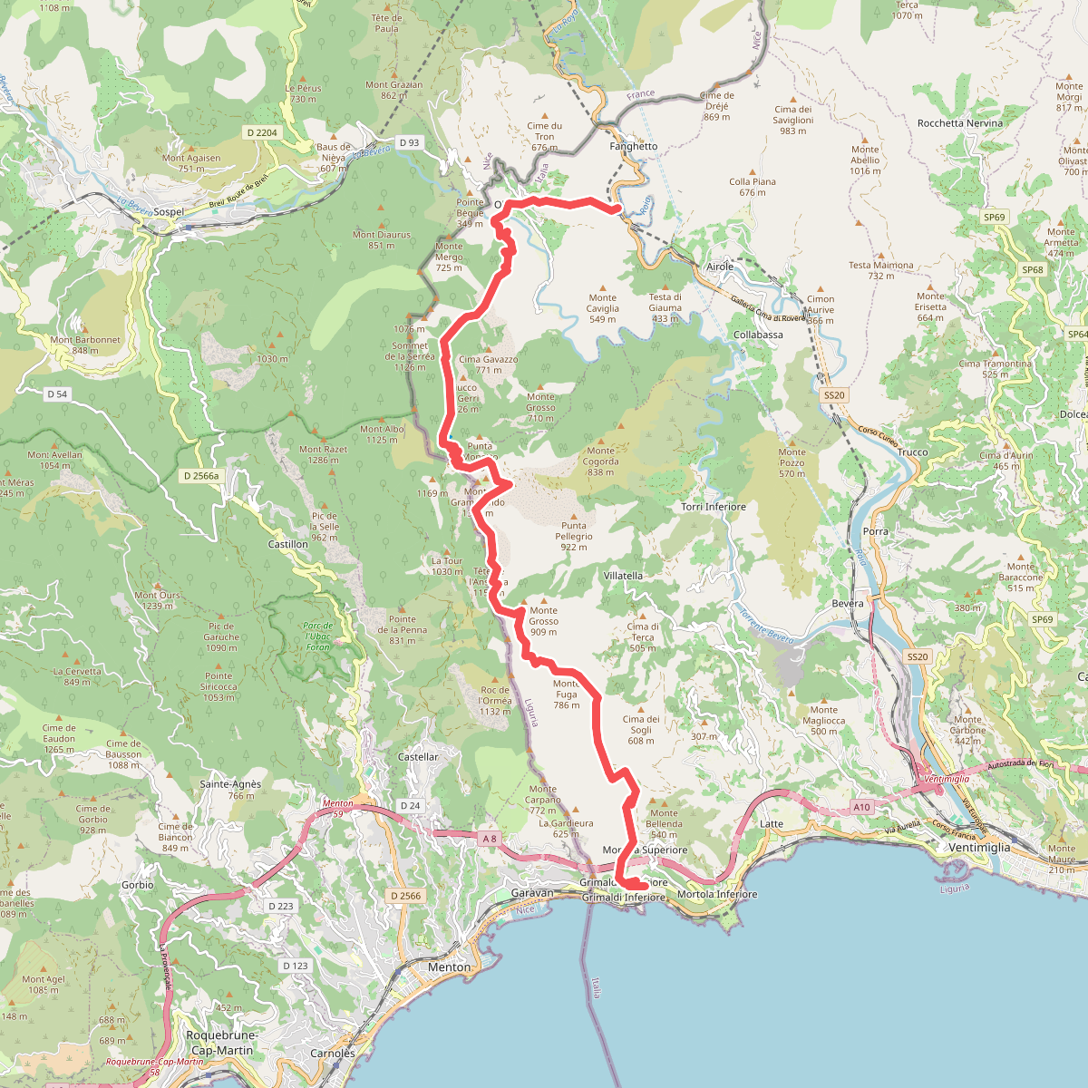
#3. AM0 - ALPI MARE 0
Fanghetto,Olivetta San Michele,Ventimiglia
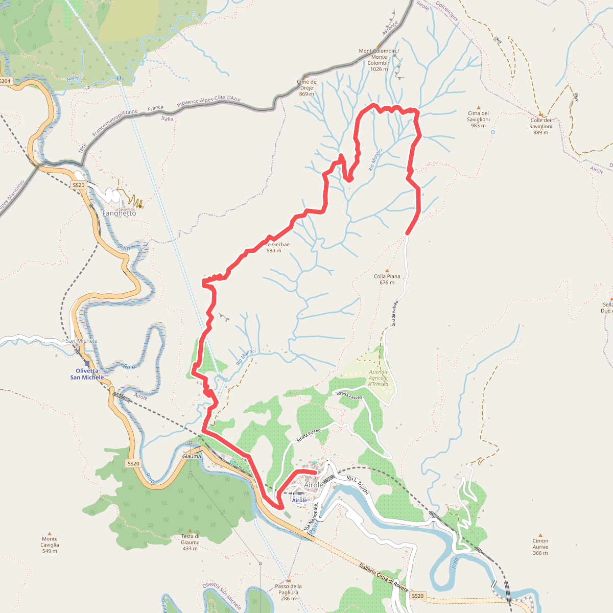
#4. Anello del Colombin
Airole
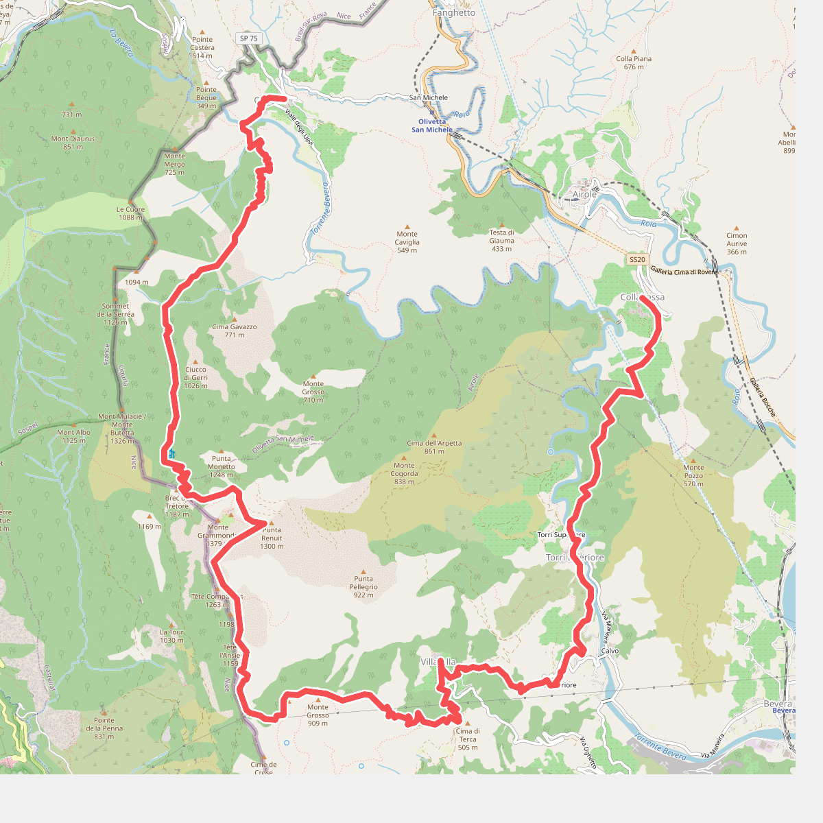
#5. Anello del Gramondo
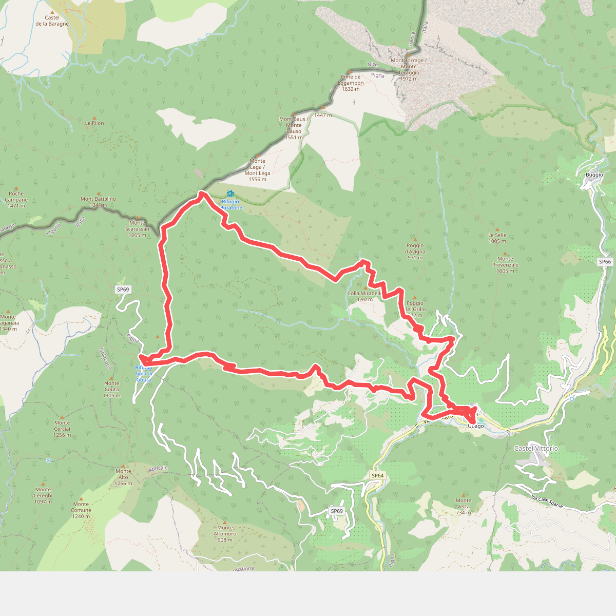
#6. Anello Pigna
Pigna
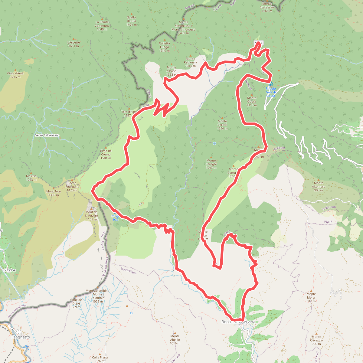
#7. Anello Rocchetta Nervina
Rocchetta Nervina,Breil-sur-Roya,Pigna,Apricale,Isolabona
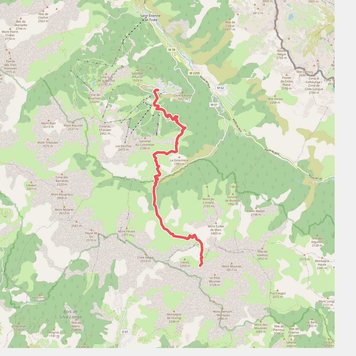
#8. Auron - Combe de Crousette · GR5 etappe 100
Saint-Étienne-de-Tinée,Beuil
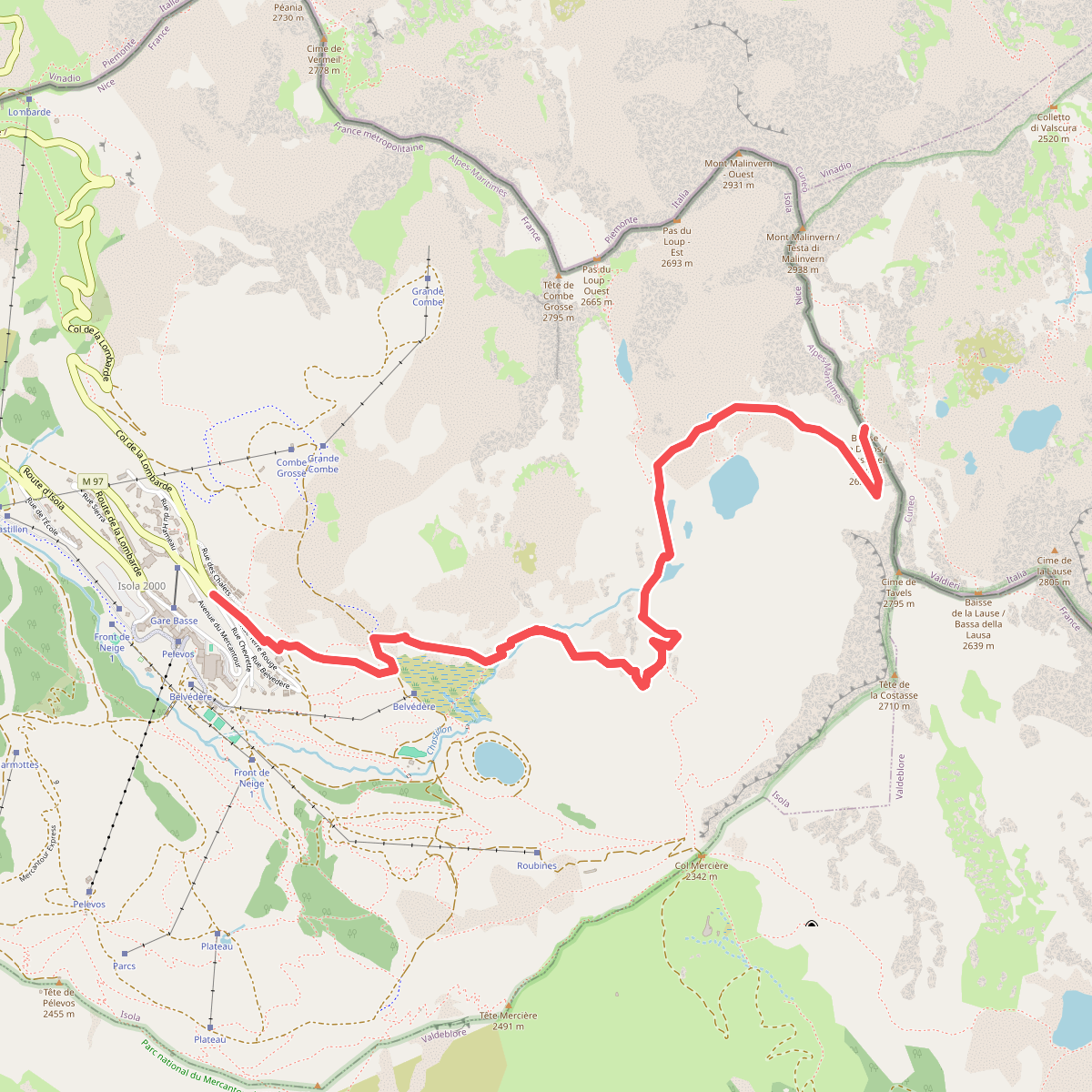
#9. Baisse de Druos
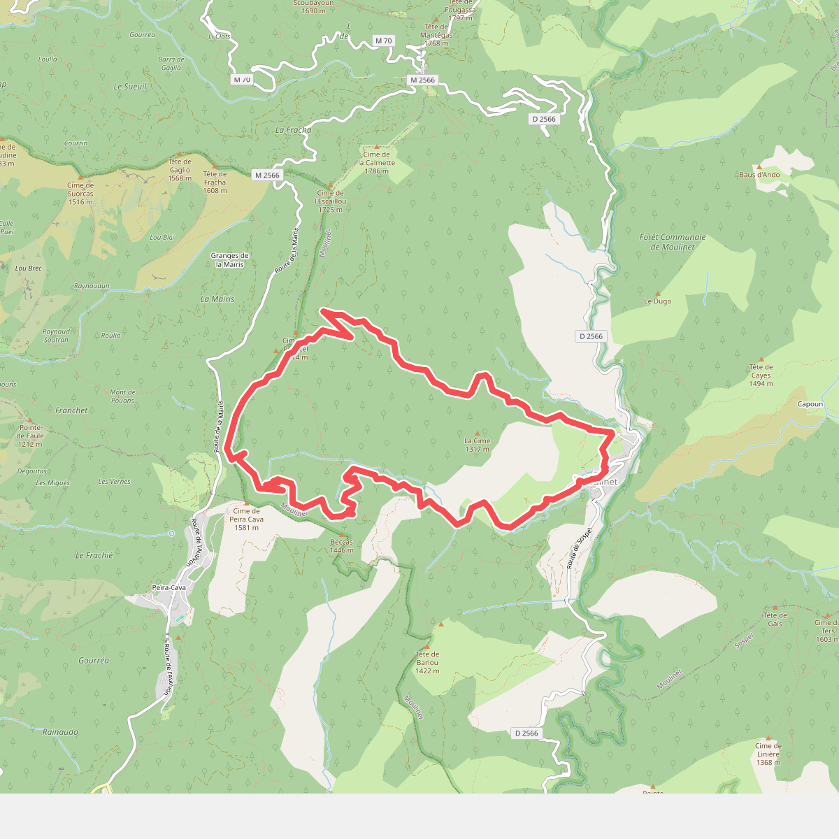
#10. Baisse de Peira Cava
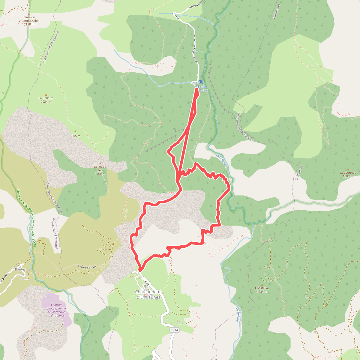
#11. Boucle de la Barlatte