The best hiking routes in Paisaje Protegido de los Campeches, Tigaiga y Ruiz
Discover the best walks in Paisaje Protegido de los Campeches, Tigaiga y Ruiz. 2 routes on the map, with descriptions, photos and GPX.
About Paisaje Protegido de los Campeches, Tigaiga y Ruiz
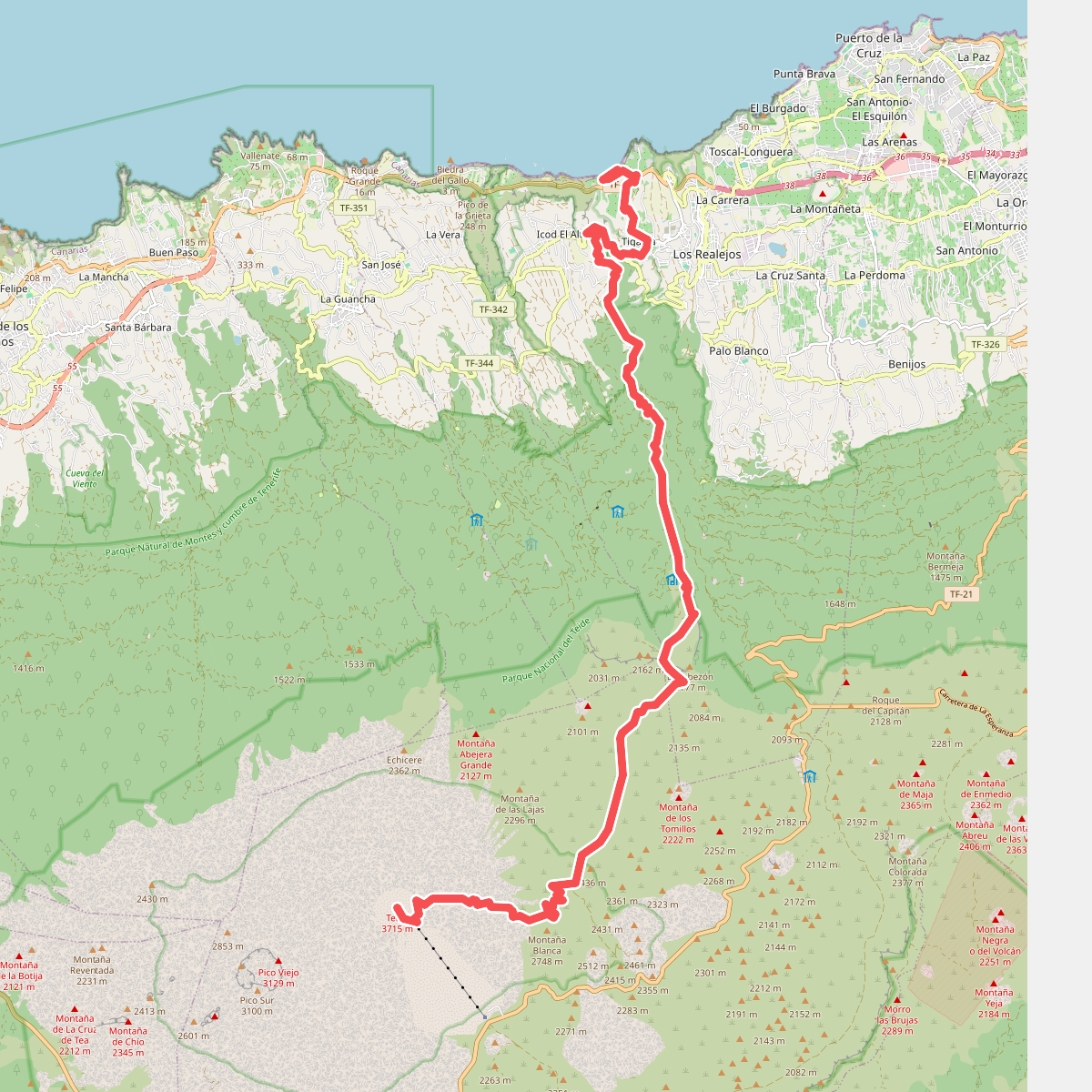
Paisaje Protegido de los Campeches, Tigaiga y Ruiz covers a steep, dramatic section of northern Tenerife, dropping from high pine-forested ridges down to coastal cliffs. Unlike the flat, sandy coastal walks found elsewhere on the island, walking here involves navigating significant elevation changes over short distances. The landscape is defined by the massive Tigaiga basalt escarpment and the deep, water-carved Barranco de Ruiz, offering a vertical slice of Canary Island ecosystems rather than a uniform forest or open plain.
Read more
About Paisaje Protegido de los Campeches, Tigaiga y Ruiz
Paisaje Protegido de los Campeches, Tigaiga y Ruiz covers a steep, dramatic section of northern Tenerife, dropping from high pine-forested ridges down to coastal cliffs. Unlike the flat, sandy coastal walks found elsewhere on the island, walking here involves navigating significant elevation changes over short distances. The landscape is defined by the massive Tigaiga basalt escarpment and the deep, water-carved Barranco de Ruiz, offering a vertical slice of Canary Island ecosystems rather than a uniform forest or open plain.
Read morePaisaje Protegido de los Campeches, Tigaiga y Ruiz covers a steep, dramatic section of northern Tenerife, dropping from high pine-forested ridges down to coastal cliffs. Unlike the flat, sandy coastal walks found elsewhere on the island, walking here involves navigating significant elevation changes over short distances. The landscape is defined by the massive Tigaiga basalt escarpment and the deep, water-carved Barranco de Ruiz, offering a vertical slice of Canary Island ecosystems rather than a uniform forest or open plain.
Underfoot, walkers will encounter a mix of rough, stony volcanic tracks, steep dirt paths that can be slippery with pine needles, and occasional paved sections near the lower hamlets. The higher elevations are dominated by damp laurel forest and Canary Island pine, which trap mist and create a shaded, humid environment. As you descend toward the coast, this dense canopy gives way to dry, scrubby cardonal-tabaibal vegetation growing on exposed rock faces, showing a clear transition in plant life shaped by altitude and moisture.
This area is suited for those who prefer demanding climbs and descents over easy, level strolls. There are no vast, open sand dunes or high alpine peaks here; instead, the paths hug the edges of deep ravines and scale near-vertical cliffs. The lower picnic area at Barranco de Ruiz can be busier with local visitors on weekends, but the steep, demanding trails leading up the cliffs of Tigaiga are generally quiet, attracting those looking for a physical challenge rather than a casual walk.