The best hiking routes in Paisagem Protegida Local da Rocha da Pena
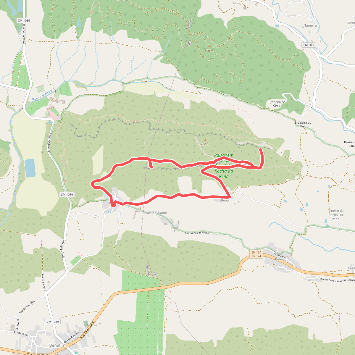
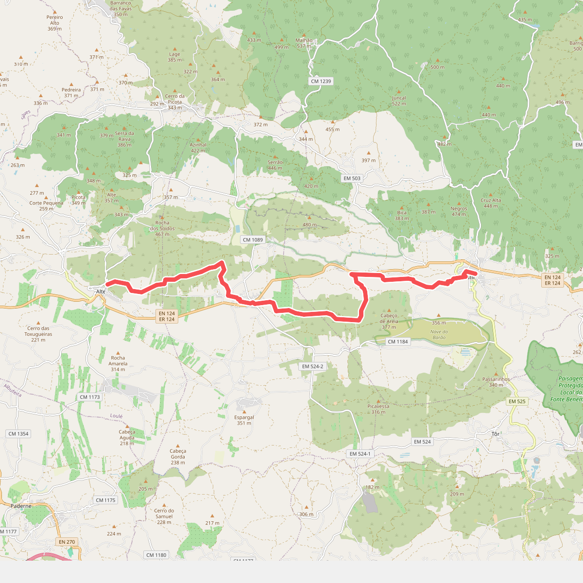
Discover the best walks in Paisagem Protegida Local da Rocha da Pena. 2 routes on the map, with descriptions, photos and GPX.
Managed by Câmara Municipal de Loulé
About Paisagem Protegida Local da Rocha da Pena
Paisagem Protegida Local da Rocha da Pena is a prominent limestone cornice rising above the softer clay and shale landscapes of the Algarve interior. Unlike the sandy coastal dunes or the rounded schist hills of the Serra do Caldeiro nearby, this reserve is defined by a steep, flat-topped mesa of hard Jurassic limestone. The terrain transitions abruptly from the cultivated orchards of the lower slopes to a rugged, rocky plateau covered in dense Mediterranean scrub, wild olive trees, and carob.
Read more
About Paisagem Protegida Local da Rocha da Pena
Paisagem Protegida Local da Rocha da Pena is a prominent limestone cornice rising above the softer clay and shale landscapes of the Algarve interior. Unlike the sandy coastal dunes or the rounded schist hills of the Serra do Caldeiro nearby, this reserve is defined by a steep, flat-topped mesa of hard Jurassic limestone. The terrain transitions abruptly from the cultivated orchards of the lower slopes to a rugged, rocky plateau covered in dense Mediterranean scrub, wild olive trees, and carob.
Read morePaisagem Protegida Local da Rocha da Pena is a prominent limestone cornice rising above the softer clay and shale landscapes of the Algarve interior. Unlike the sandy coastal dunes or the rounded schist hills of the Serra do Caldeiro nearby, this reserve is defined by a steep, flat-topped mesa of hard Jurassic limestone. The terrain transitions abruptly from the cultivated orchards of the lower slopes to a rugged, rocky plateau covered in dense Mediterranean scrub, wild olive trees, and carob.
Underfoot, walkers will encounter a stark contrast between the dirt tracks of the agricultural valleys and the sharp, uneven limestone pavement of the upper plateau. The paths on the high ridge are stony, requiring careful placement of your feet among loose rocks and exposed bedrock. There are no boardwalks or paved promenades here. The vegetation on the summit is low and wind-sheared, featuring aromatic herbs like rosemary and thyme that thrive in the thin, alkaline soil.
In spring, particularly during March and April, the limestone crevices bloom with wild orchids and narcissi, making the rocky ground much more colourful. The area does not offer high mountain peaks or deep river gorges, but rather a steep, 400-metre-high escarpment that provides clear views over the surrounding Barrocal landscape. While the main trail ascending to the summit can be busy with day hikers on weekends, the eastern sections of the ridge toward the ruins of the ancient stone wall are often quieter.