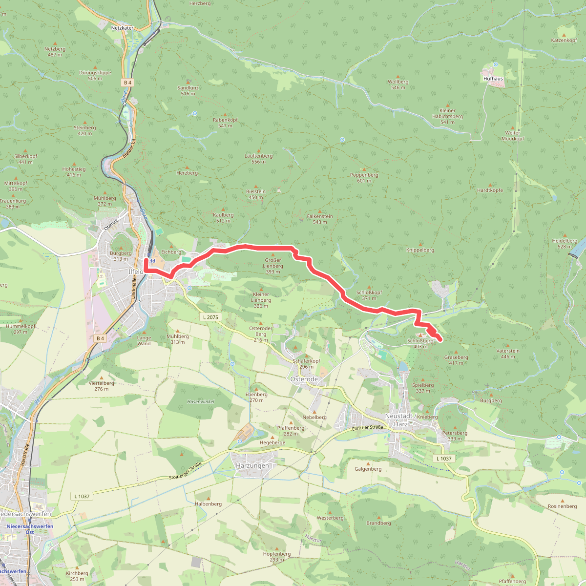
The best hiking routes in Naturpark Südharz
Discover the best walks in Naturpark Südharz. 66 routes on the map, with descriptions, photos and GPX.
About Naturpark Südharz
Naturpark Südharz covers a distinct karst landscape on the southern slopes of the Harz mountains, where soluble gypsum bedrock has shaped the terrain over millennia. Walkers will immediately notice the absence of surface streams; rain sinks rapidly into the ground, leaving dry valleys, steep-sided sinkholes, and sudden collapse craters right beside the paths. This geological foundation creates a stark contrast to the granite and slate areas further north, offering a rolling, highly fractured topography of beech forests and open, lime-rich meadows rather than high, windswept peaks.
Read more
About Naturpark Südharz
Naturpark Südharz covers a distinct karst landscape on the southern slopes of the Harz mountains, where soluble gypsum bedrock has shaped the terrain over millennia. Walkers will immediately notice the absence of surface streams; rain sinks rapidly into the ground, leaving dry valleys, steep-sided sinkholes, and sudden collapse craters right beside the paths. This geological foundation creates a stark contrast to the granite and slate areas further north, offering a rolling, highly fractured topography of beech forests and open, lime-rich meadows rather than high, windswept peaks.
Read moreNaturpark Südharz covers a distinct karst landscape on the southern slopes of the Harz mountains, where soluble gypsum bedrock has shaped the terrain over millennia. Walkers will immediately notice the absence of surface streams; rain sinks rapidly into the ground, leaving dry valleys, steep-sided sinkholes, and sudden collapse craters right beside the paths. This geological foundation creates a stark contrast to the granite and slate areas further north, offering a rolling, highly fractured topography of beech forests and open, lime-rich meadows rather than high, windswept peaks.
Underfoot, the trails vary between hard-packed dirt tracks through dense woodland and narrow, stony paths that wind over exposed gypsum ridges. In the open meadows, the soil is thin and dry, supporting specialized lime-loving plants that flower in May and June. Because the soluble rock is constantly dissolving beneath the surface, the landscape features steep, unexpected depressions and white gypsum cliffs that peer through the tree canopy, requiring careful footwork on the narrower, sloping forest paths.
This area does not offer dramatic alpine heights or deep, water-carved gorges, but rather an intricate network of wooded hills and dry valleys. The trails are generally quieter than those in the neighboring high Harz, though popular spots near the gypsum caves can attract more visitors on weekends. Walkers should expect a landscape of constant, short climbs and descents rather than long, sustained mountain ascents.
Hiking routes in Naturpark Südharz (66)
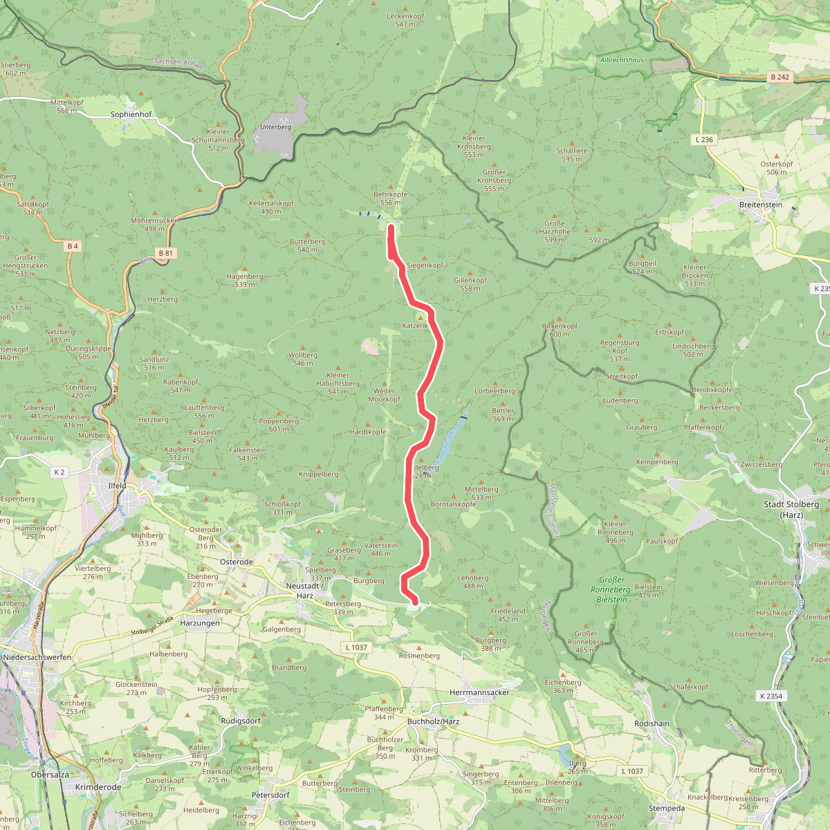
#1. Alte Poststraße
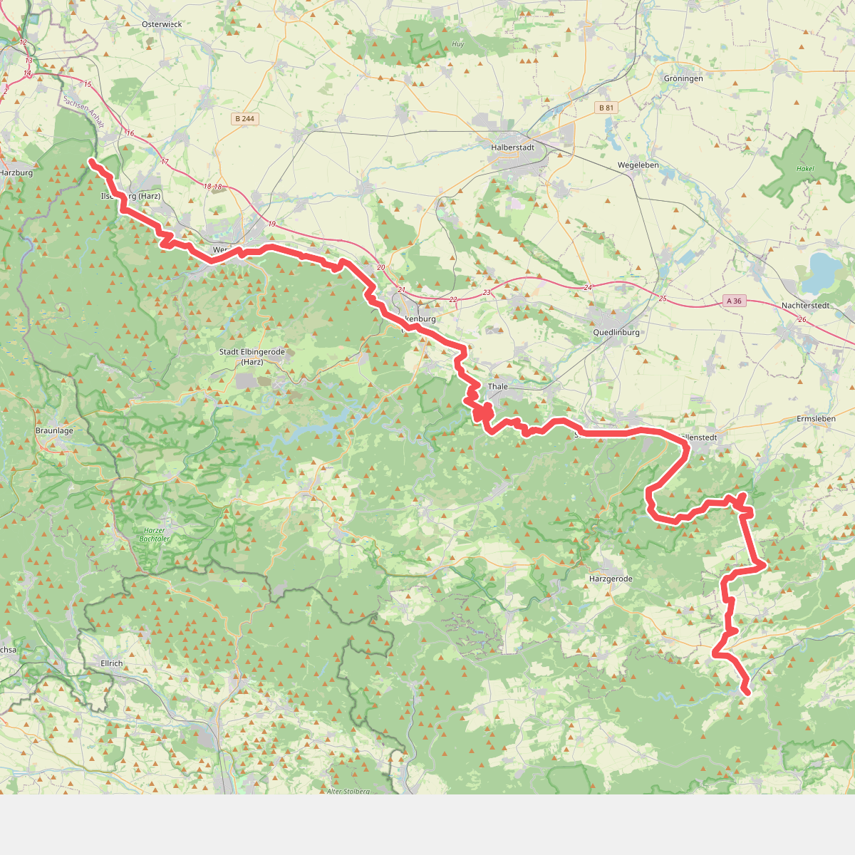
#2. Europäischer Fernwanderweg E11, Sachsen-Anhalt (W)
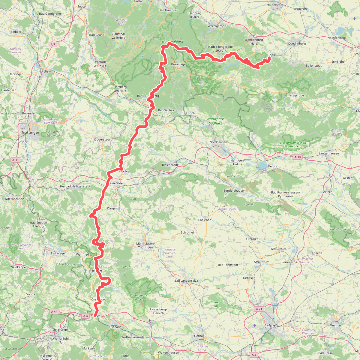
#3. Fernwanderweg Harz – Eichsfeld – Thüringer Wald (HET)
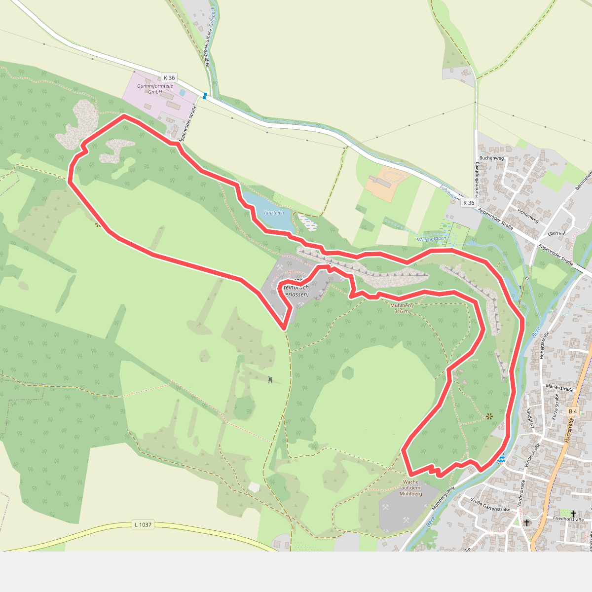
#4. Feuersalamanderpfad
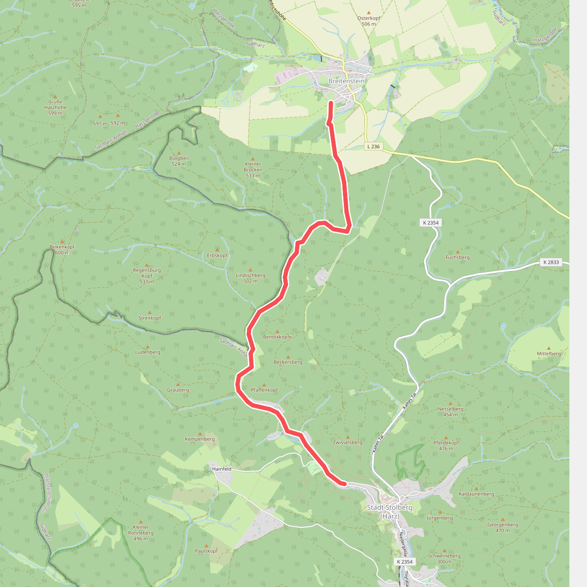
#5. gelber Balken
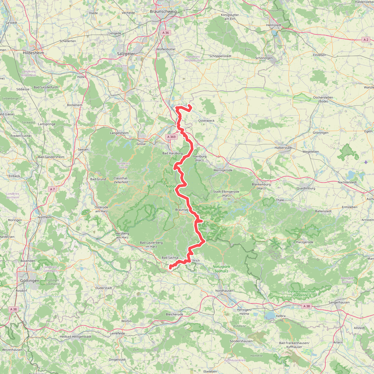
#6. Harzer Grenzweg (Grenzturm Rhoden - Grenzlandmuseum Tettenborn)
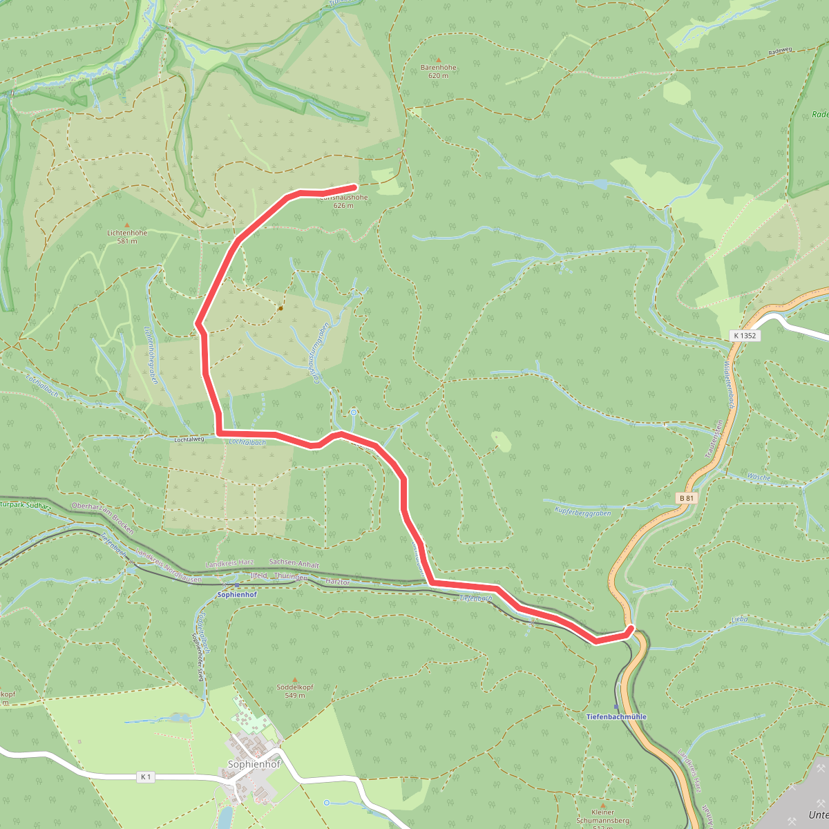
#7. Harzklub-Weg 24F
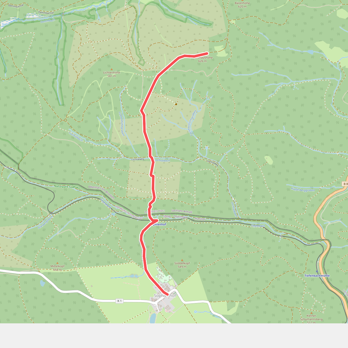
#8. Harzklub-Weg 24G
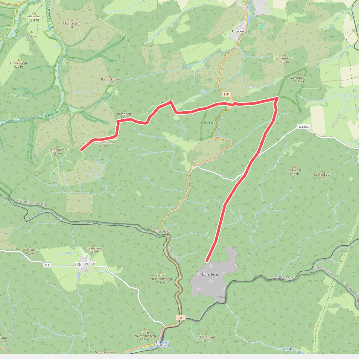
#9. Harzklub-Weg 24H
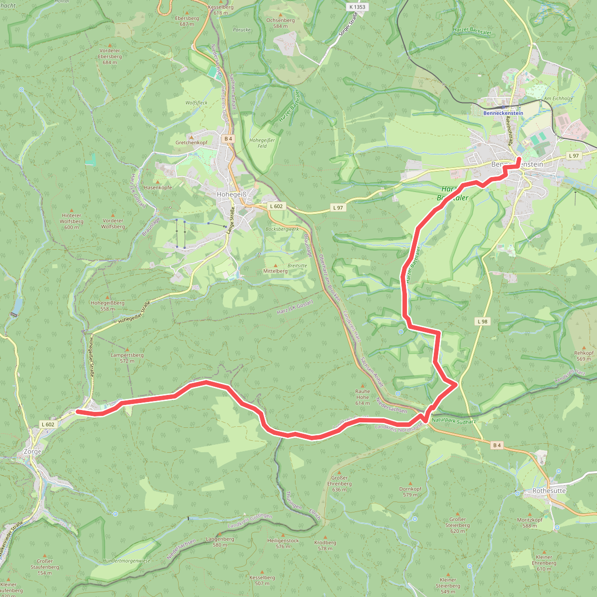
#10. Harzklub Weg 33C
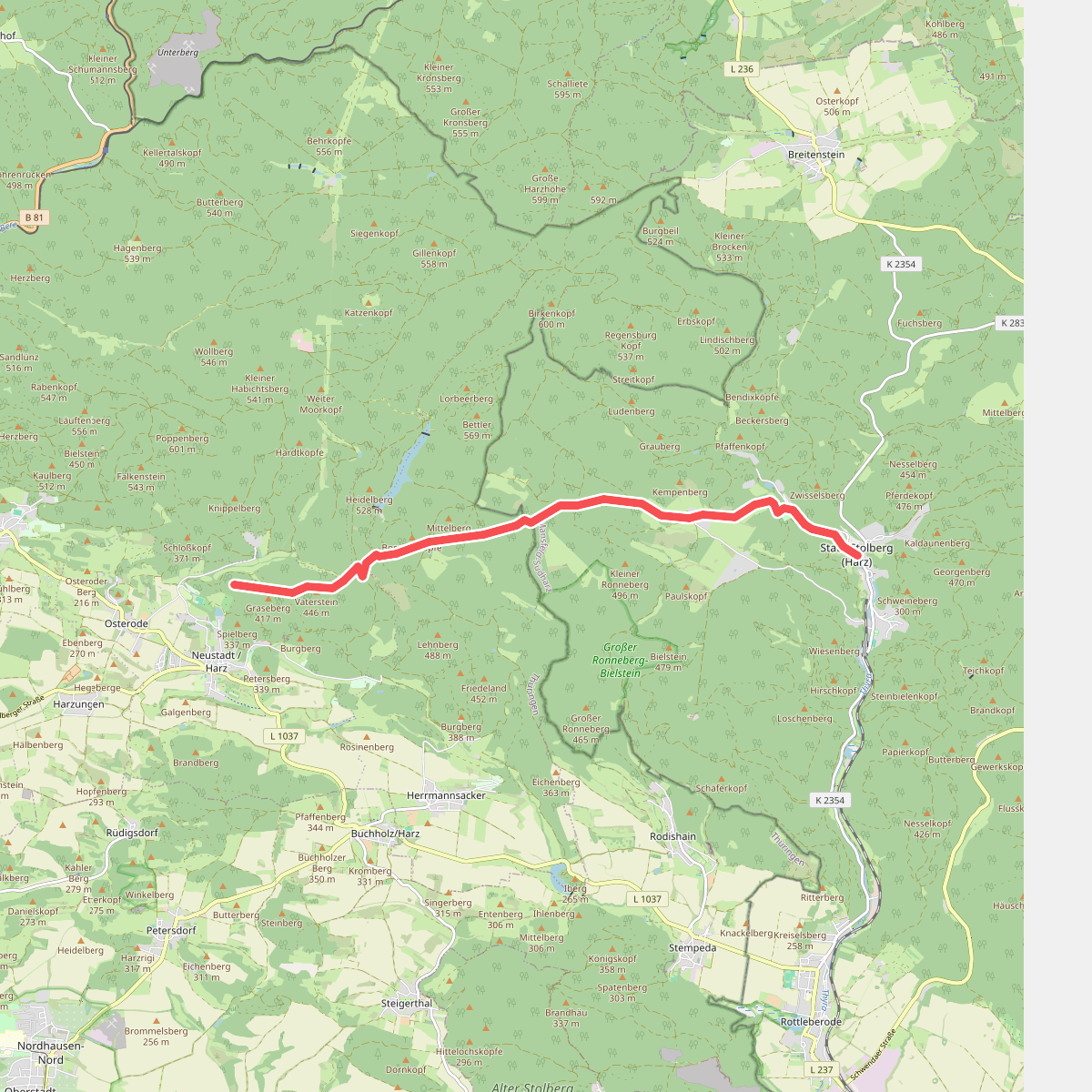
#11. Harzklub Weg 34H