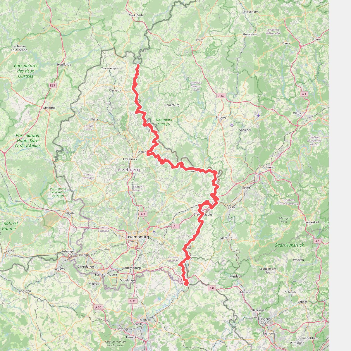
The best hiking routes in Naturpark Südeifel
Discover the best walks in Naturpark Südeifel. 42 routes on the map, with descriptions, photos and GPX.
About Naturpark Südeifel
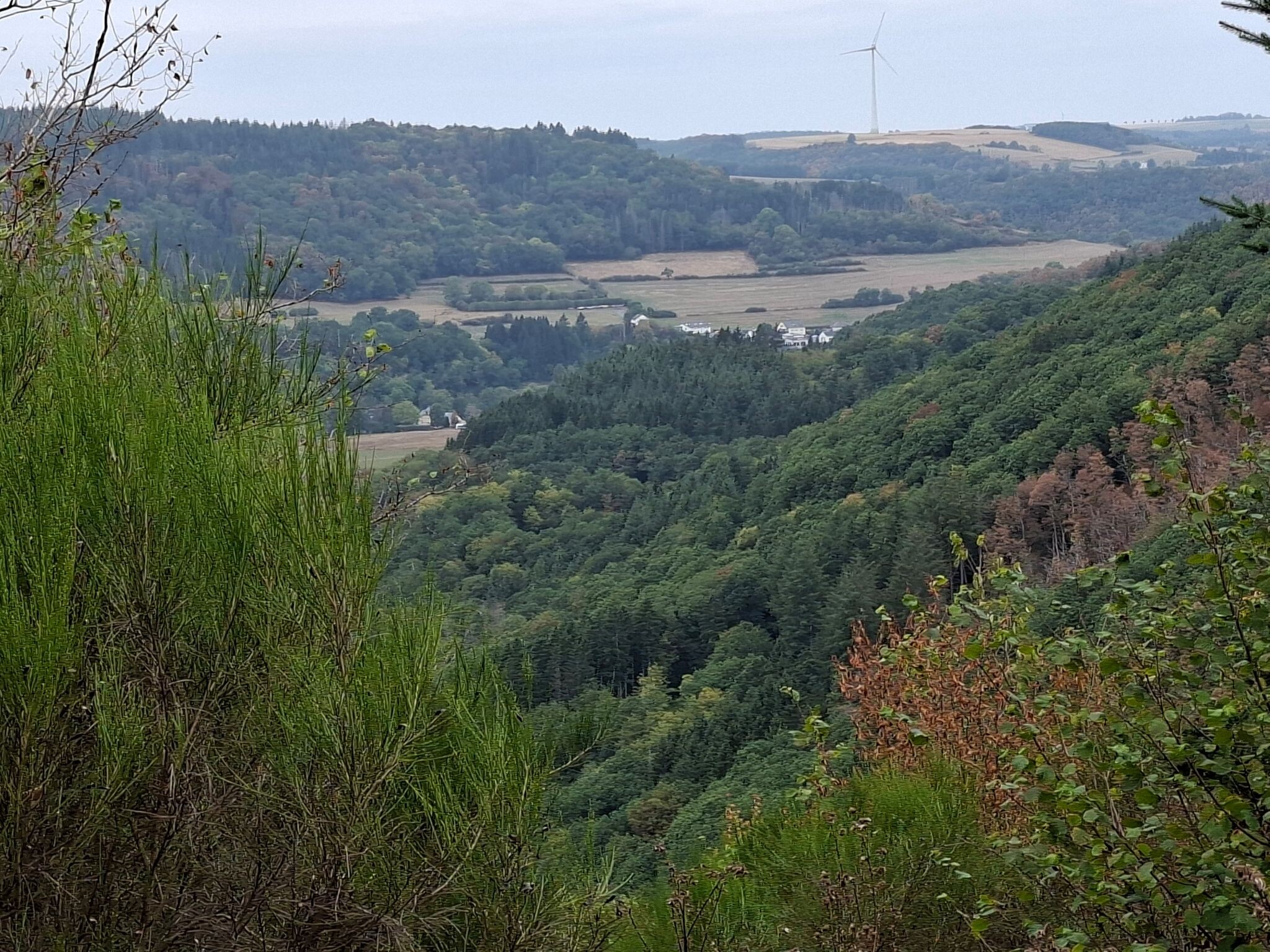
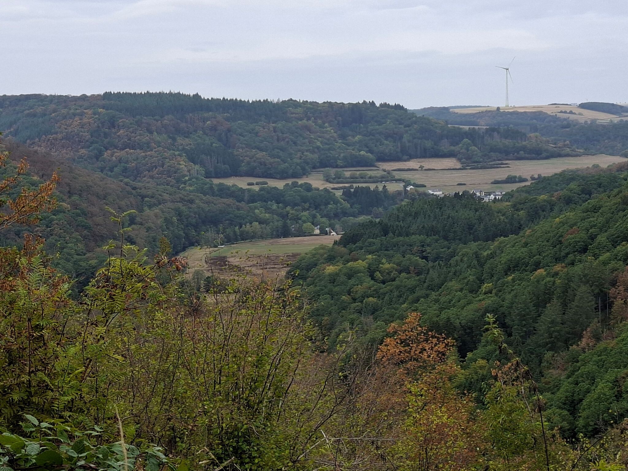
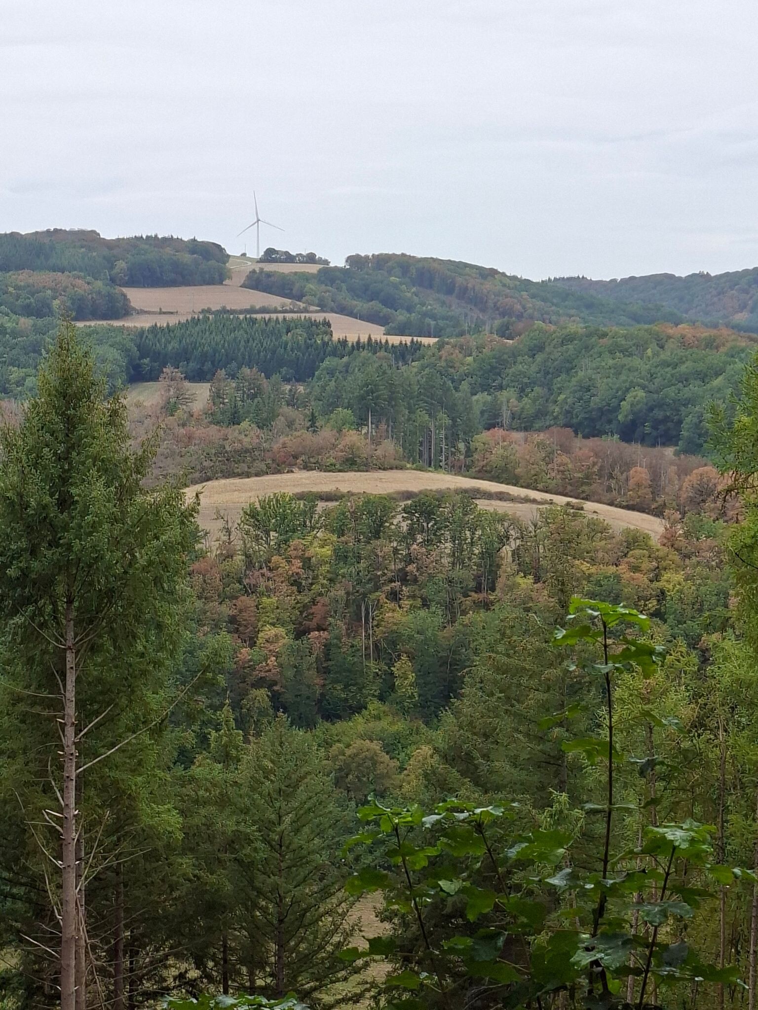
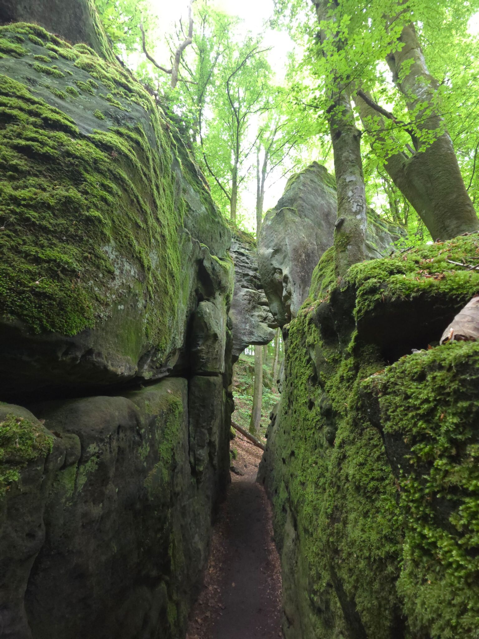
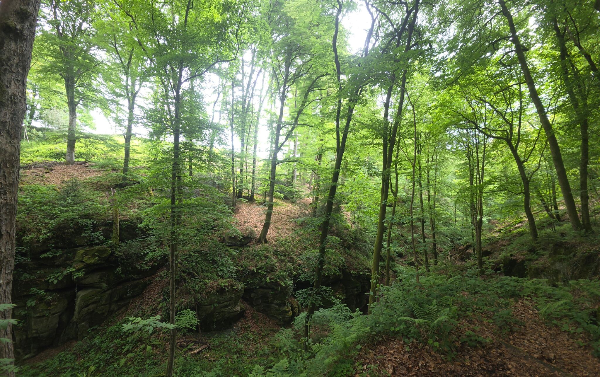
Naturpark Südeifel offers a landscape defined by dramatic geological transitions, where deep sandstone gorges and limestone plateaus replace the flatter plains of the northern Eifel. Walkers will notice how the terrain changes abruptly from dense, humid forest ravines to dry, open juniper heaths. The area is characterized by its labyrinthine rock formations, particularly around the Ferschweiler Plateau, where narrow chasms and towering stone walls flank the paths. This is not a region of high alpine peaks, but rather a dissected plateau where the challenge comes from short, steep climbs on rocky stairs and uneven forest tracks.
Read more
About Naturpark Südeifel
Naturpark Südeifel offers a landscape defined by dramatic geological transitions, where deep sandstone gorges and limestone plateaus replace the flatter plains of the northern Eifel. Walkers will notice how the terrain changes abruptly from dense, humid forest ravines to dry, open juniper heaths. The area is characterized by its labyrinthine rock formations, particularly around the Ferschweiler Plateau, where narrow chasms and towering stone walls flank the paths. This is not a region of high alpine peaks, but rather a dissected plateau where the challenge comes from short, steep climbs on rocky stairs and uneven forest tracks.
Read moreNaturpark Südeifel offers a landscape defined by dramatic geological transitions, where deep sandstone gorges and limestone plateaus replace the flatter plains of the northern Eifel. Walkers will notice how the terrain changes abruptly from dense, humid forest ravines to dry, open juniper heaths. The area is characterized by its labyrinthine rock formations, particularly around the Ferschweiler Plateau, where narrow chasms and towering stone walls flank the paths. This is not a region of high alpine peaks, but rather a dissected plateau where the challenge comes from short, steep climbs on rocky stairs and uneven forest tracks.
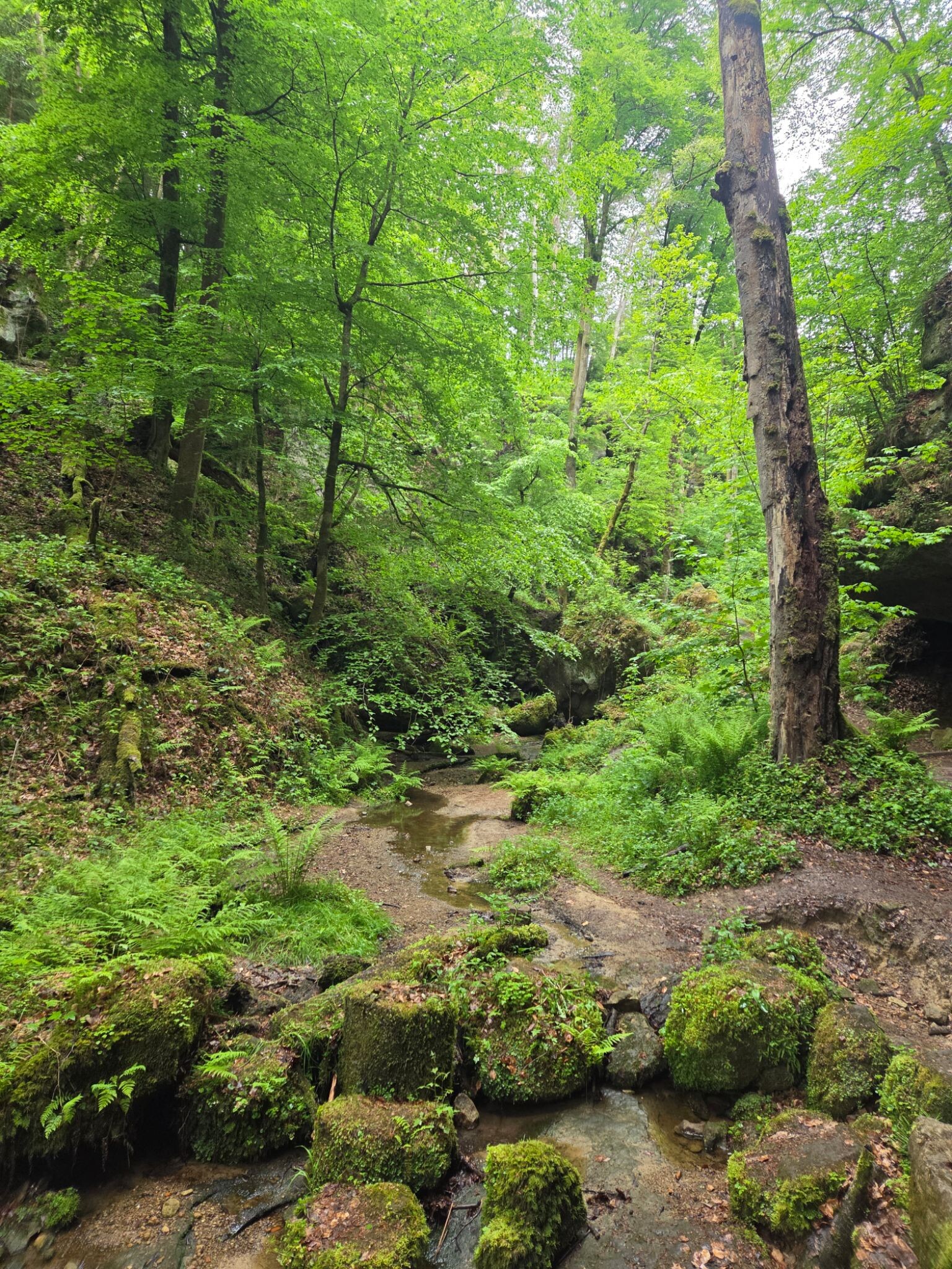
Underfoot, the trails vary from soft, pine-needle paths in the wooded valleys to gritty, sandy tracks shaped by the weathering of the local Luxembourg Sandstone. In the wetter gorge bottoms, wooden footbridges and damp, moss-covered stone steps are common, requiring careful footing. The higher, open plateaus feature firmer, sun-baked clay and gravel paths that wind through orchards and arable fields, offering wide views of the agricultural landscape rather than wild, untouched wilderness.
During May, the limestone meadows on the sunny slopes bloom with wild orchids, making these sections particularly distinct. The most famous rock formations and narrow clefts attract regular day-trippers, especially on weekends, but the deeper forest valleys and the quieter plateau paths remain peaceful. Walkers should expect a mixture of managed timber forests, active farmland, and rugged geological features, rather than an isolated wilderness free from human activity.
Hiking routes in Naturpark Südeifel (42)
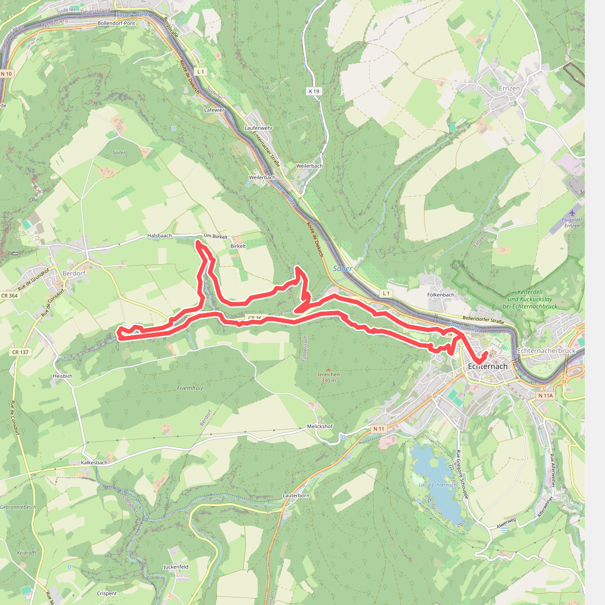
#1. Mullerthal E1
Echternach,Berdorf
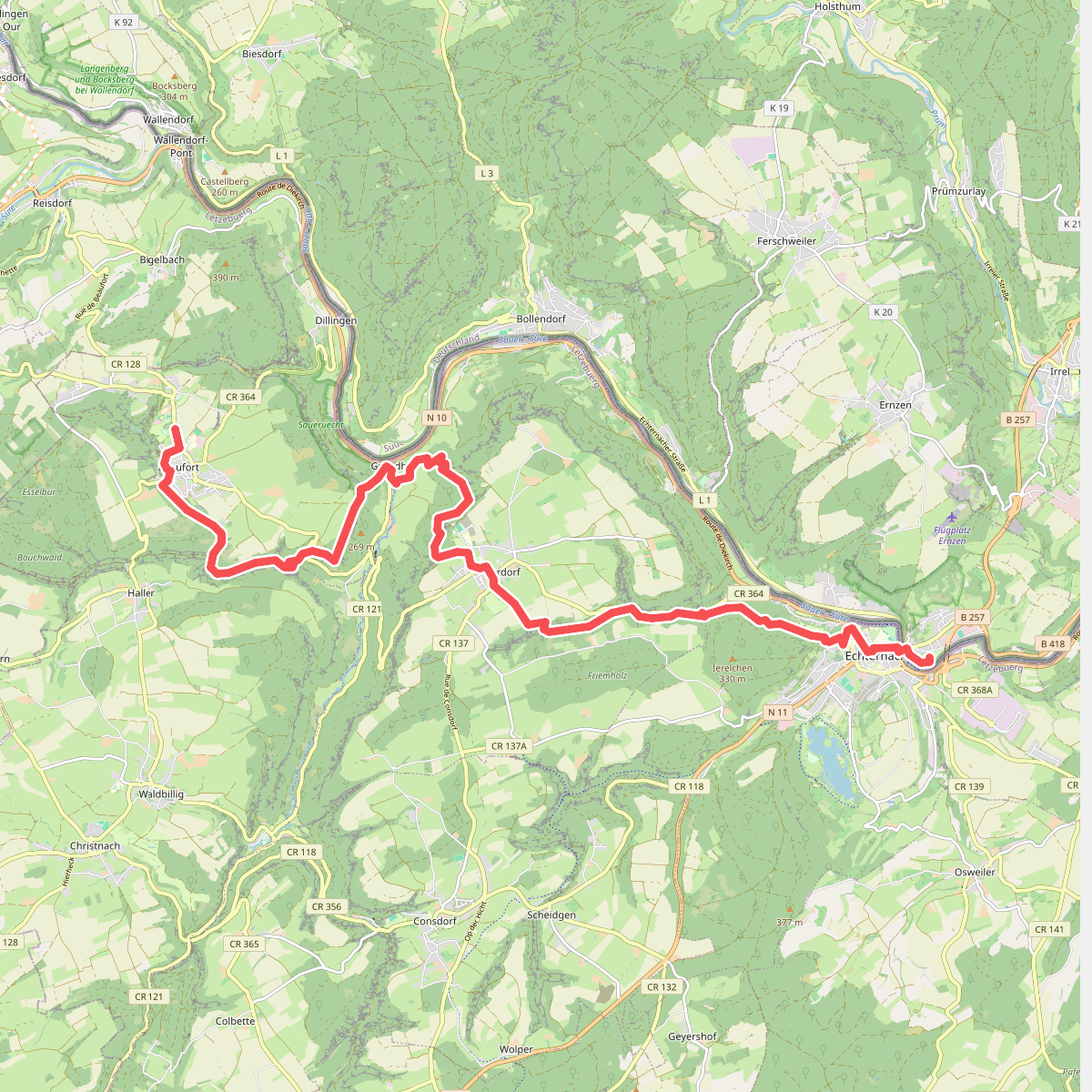
#2. Beaufort - Echternach · GR5 etappe 27
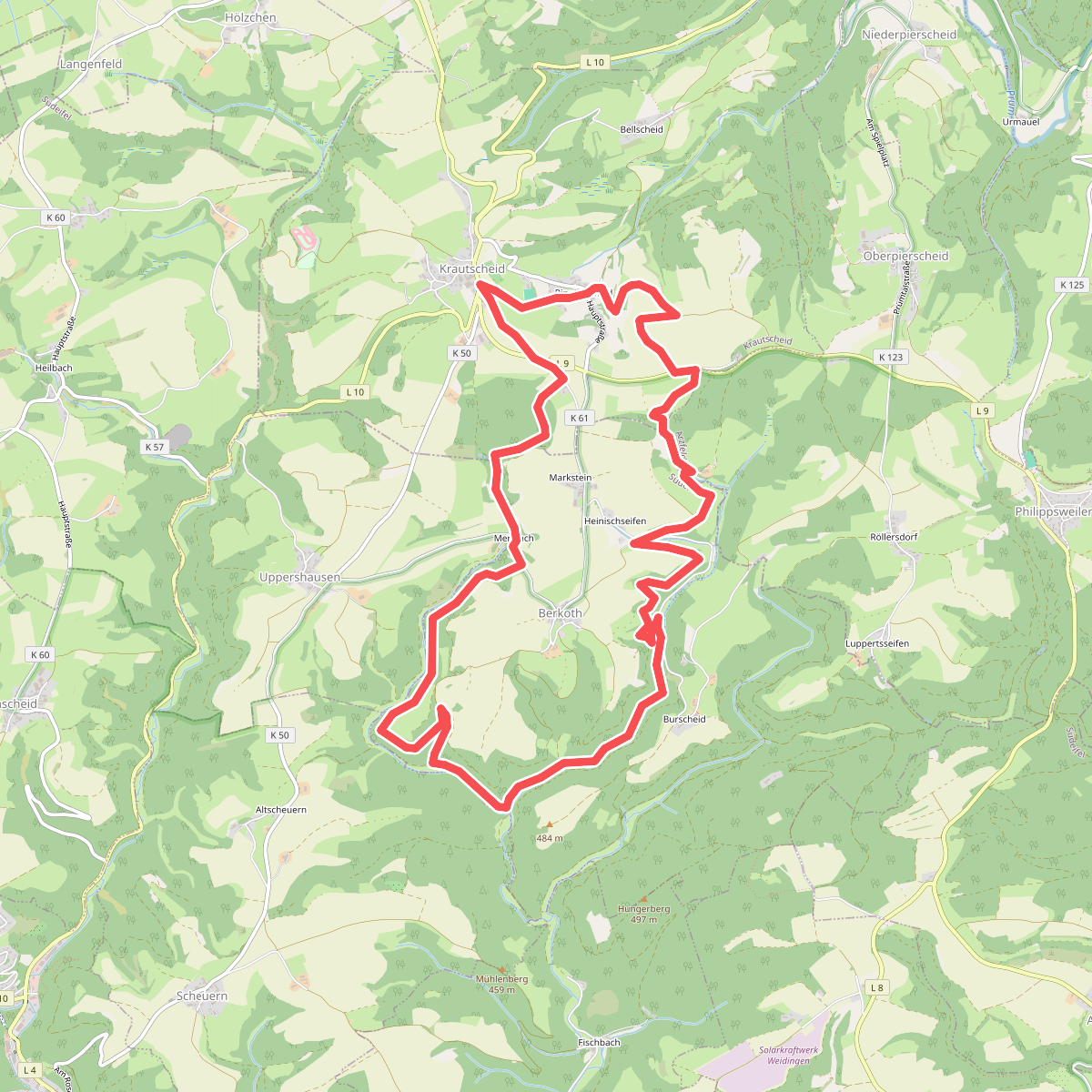
#3. Berkoth
Krautscheid,Berkoth,Oberpierscheid
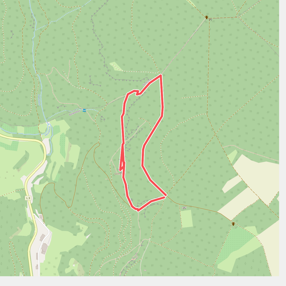
#4. Bollendorfer Maerchenpfad
Bollendorf,Nusbaum
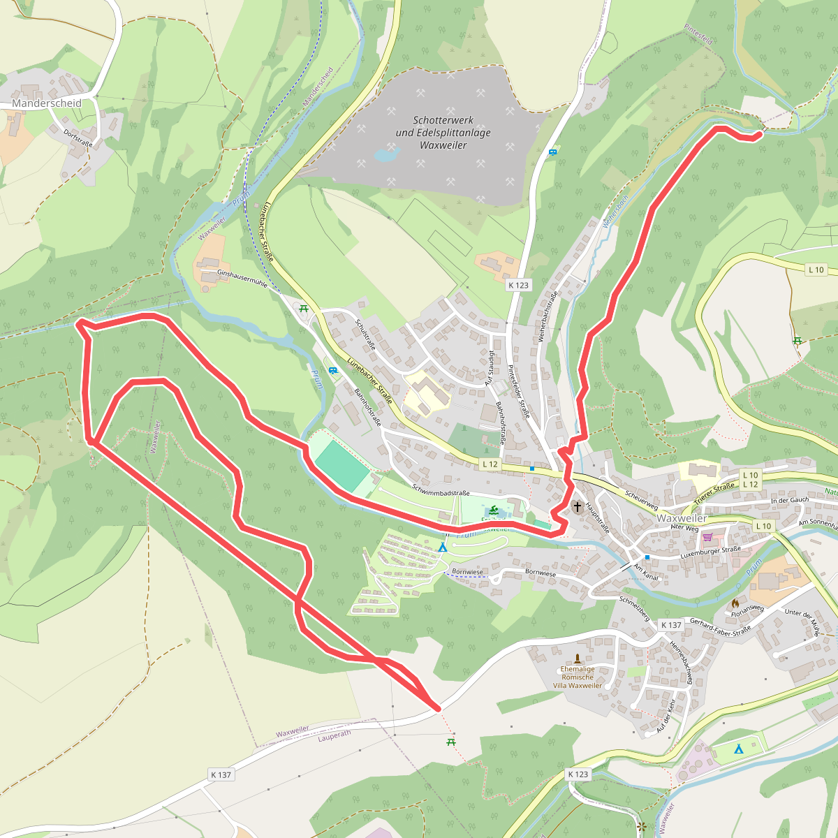
#5. Devon-Pfad
Waxweiler,Lauperath
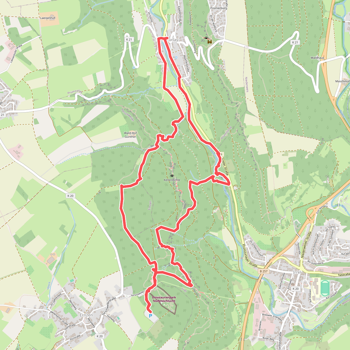
#6. Duivelkloof
Ernzen,Irrel,Prümzurlay
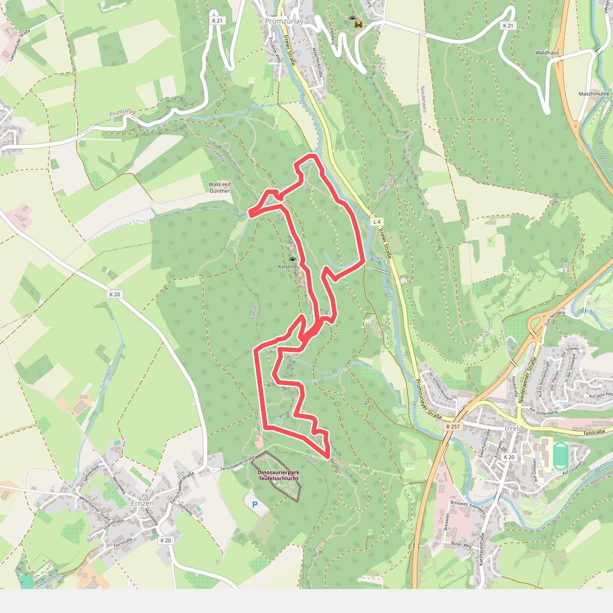
#7. Duivels acht
Irrel
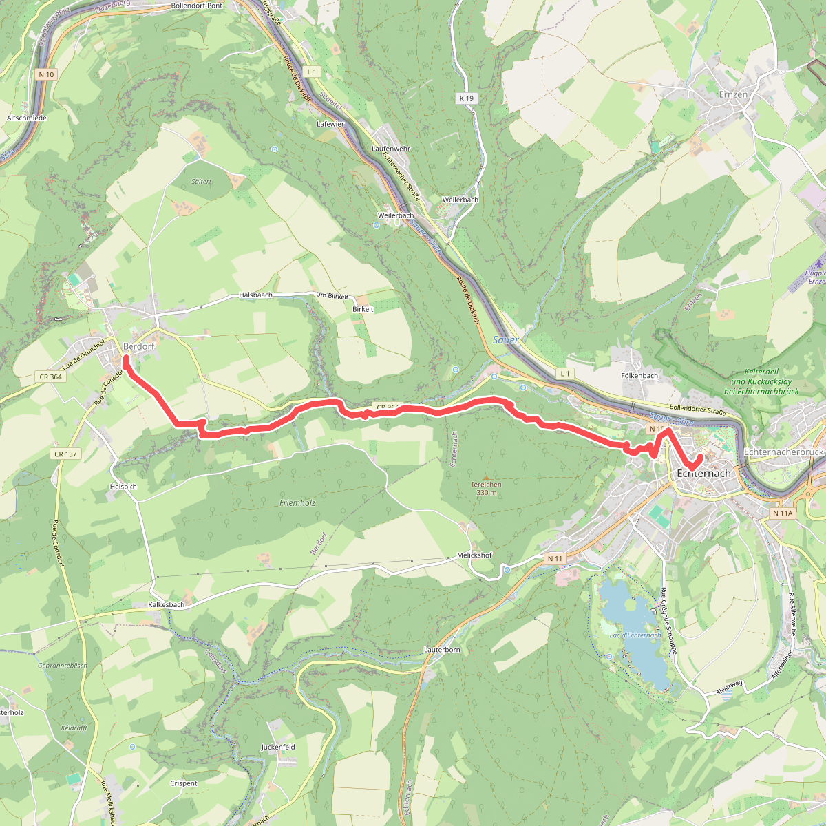
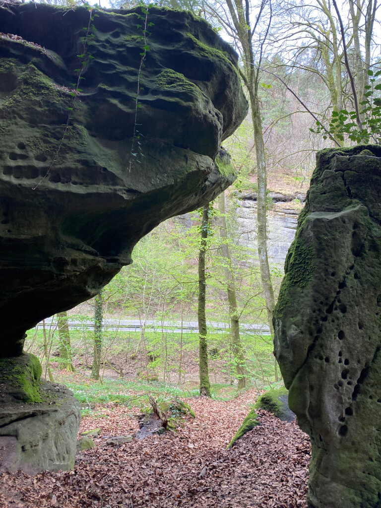
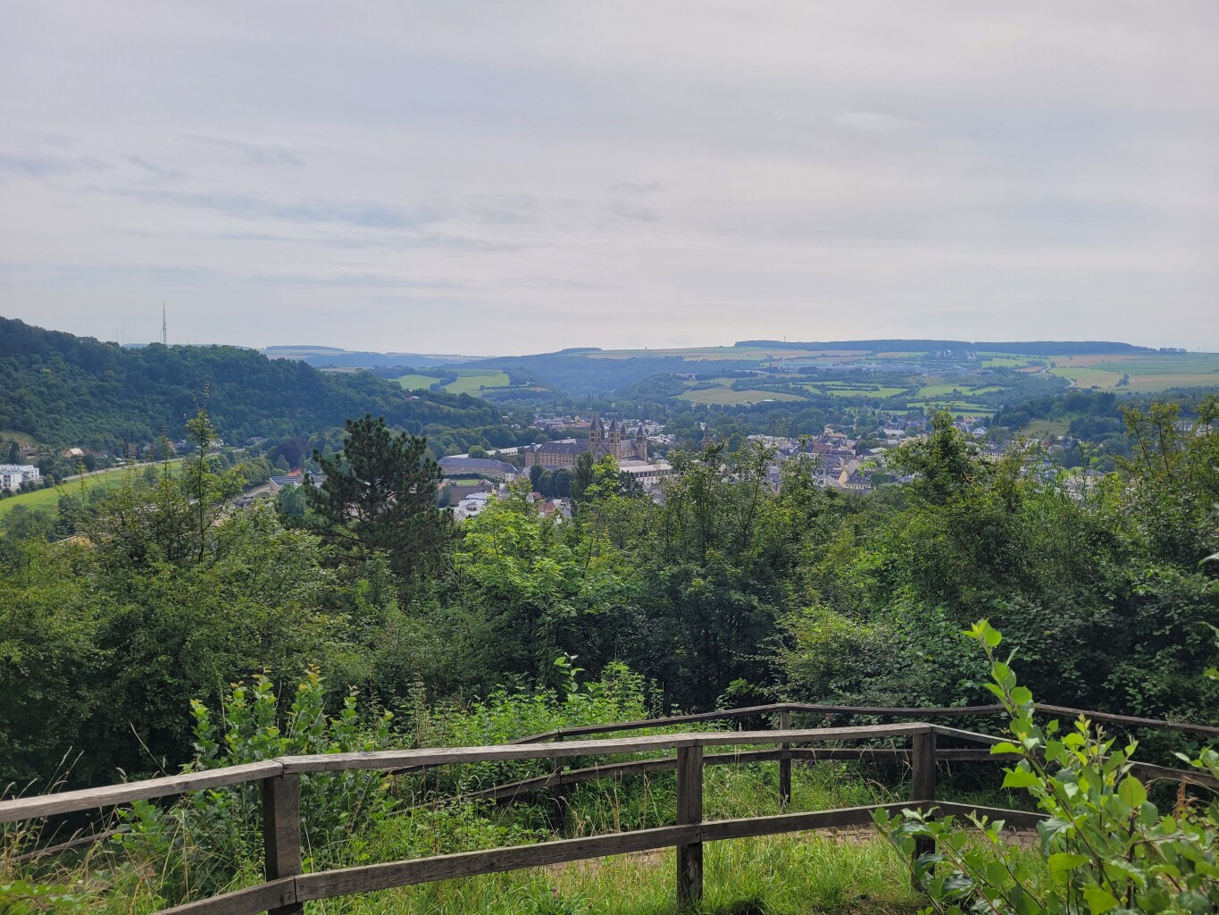
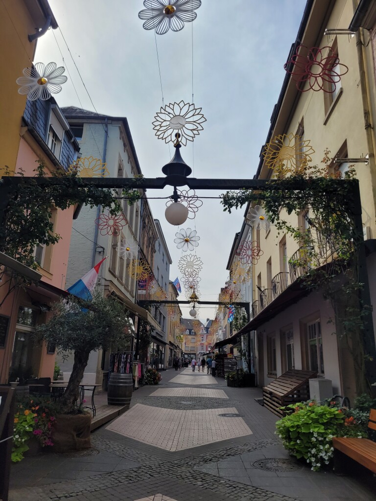
#8. Echternach - Berdorf · Mullerthal Trail etappe 5
Berdorf,Echternach
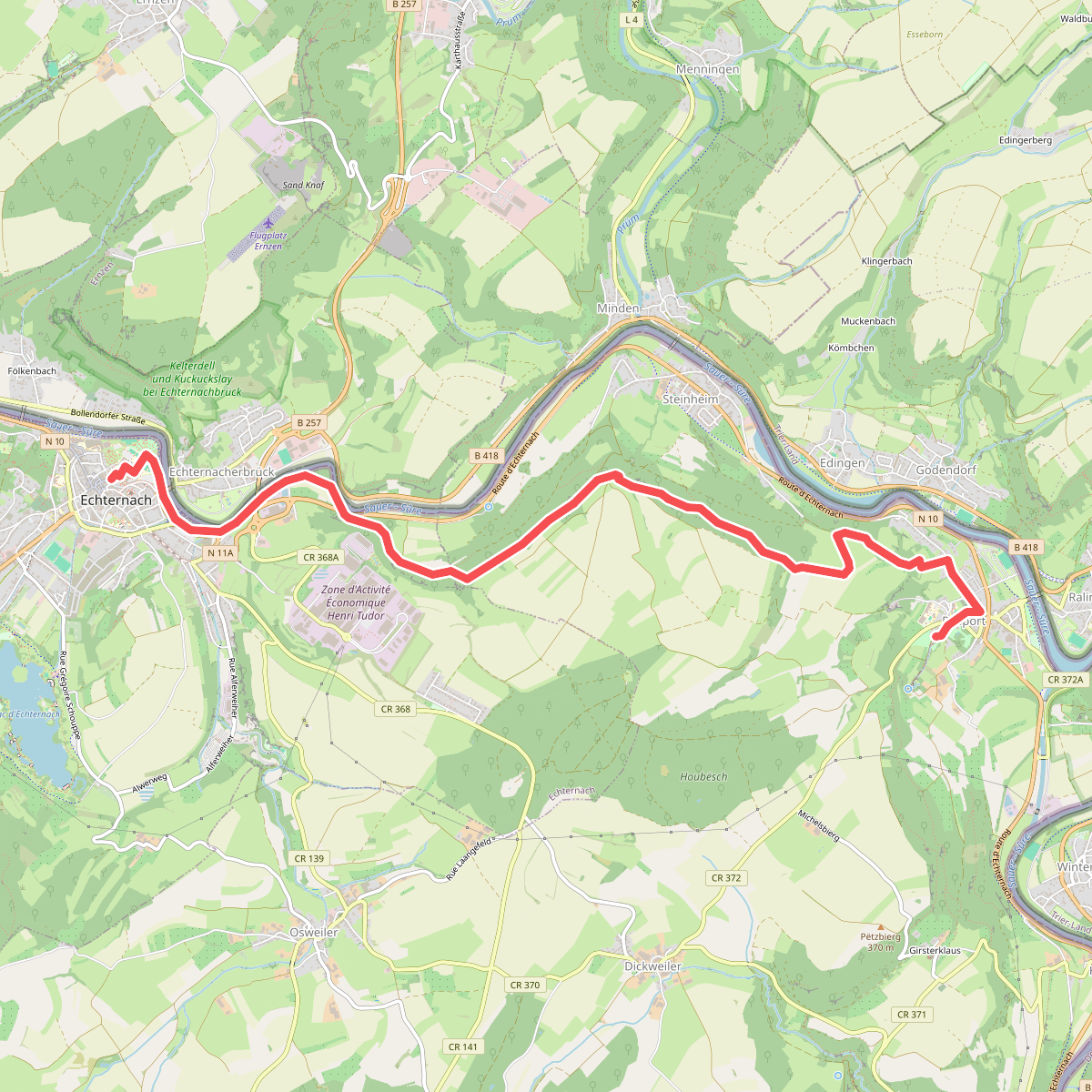
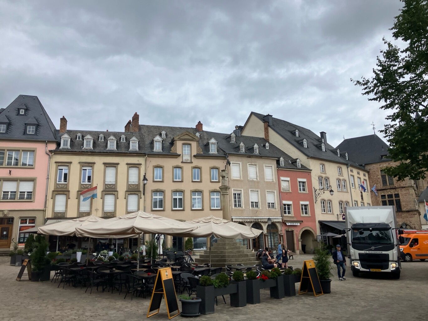
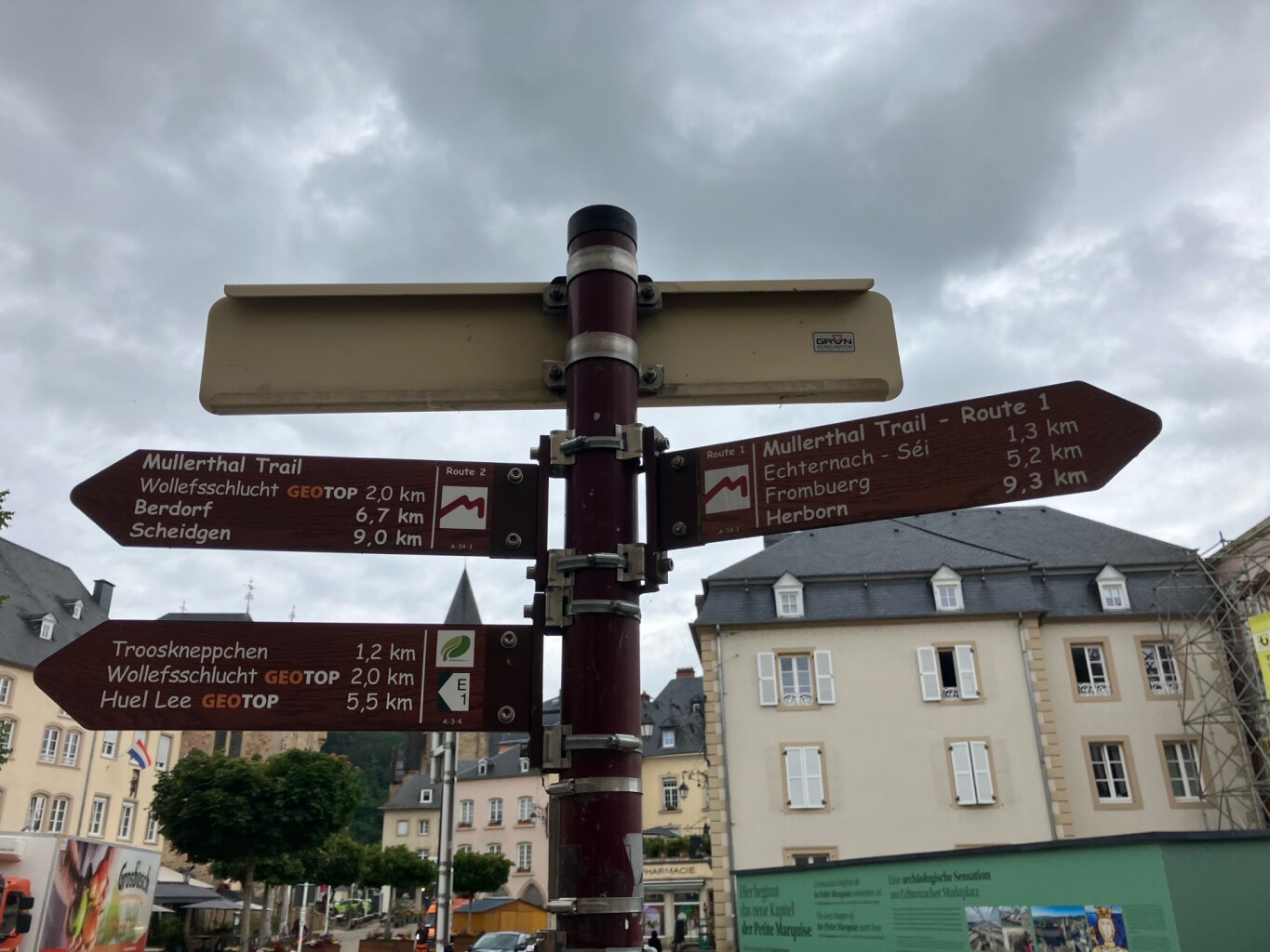
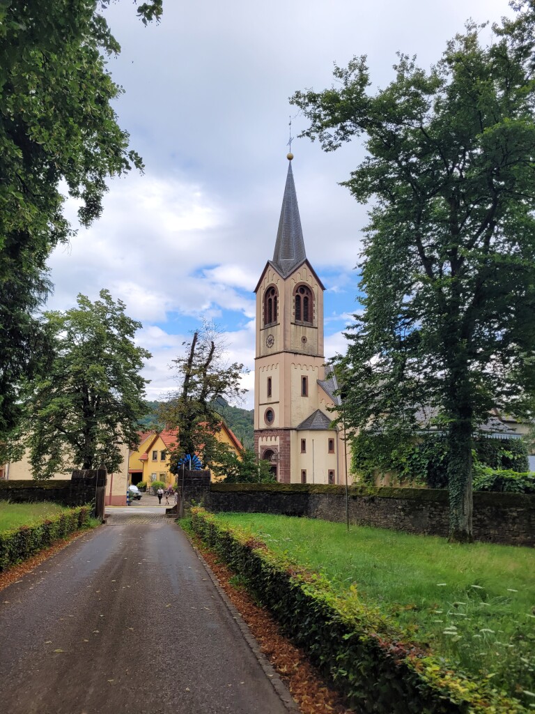
#9. Echternach - Rosport · Mullerthal Trail etappe 1
Rosport-Mompach,Echternach
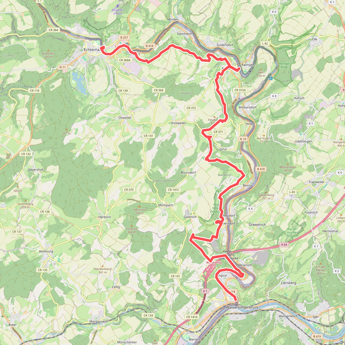
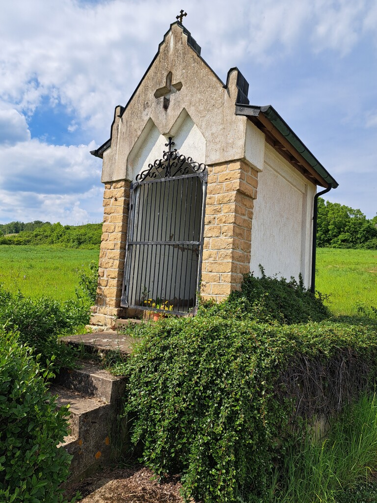
#10. Echternach - Wasserbillig · GR5 etappe 28
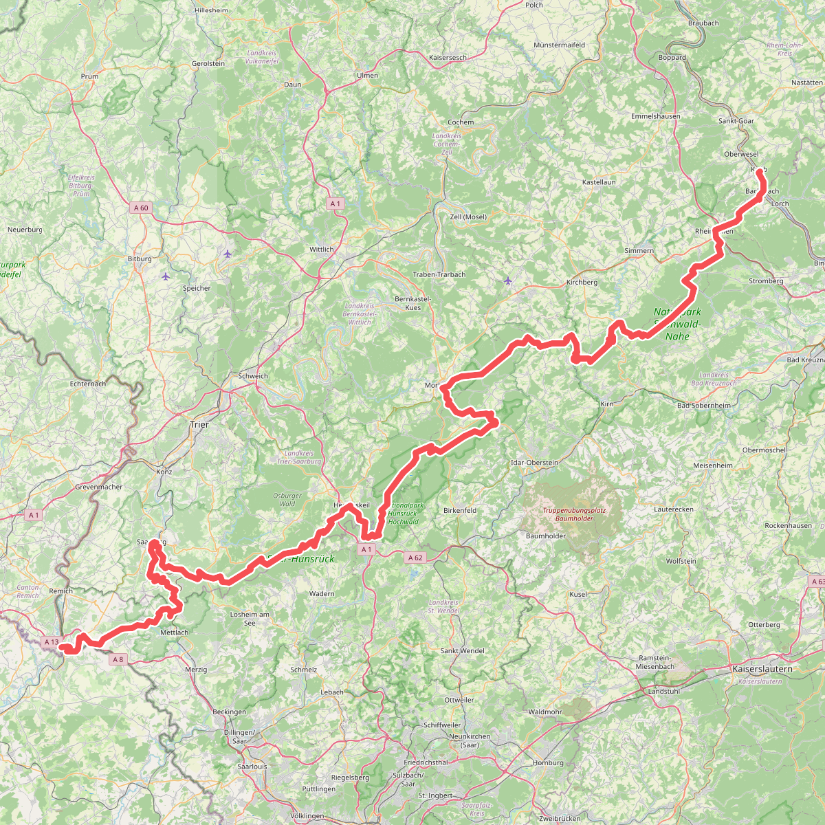
#11. European long distance path E3 - part Saarland, Rheinland-Pfalz