

The best hiking routes in Naturpark Stromberg-Heuchelberg
Discover the best walks in Naturpark Stromberg-Heuchelberg. 88 routes on the map, with descriptions, photos and GPX.
About Naturpark Stromberg-Heuchelberg
Naturpark Stromberg-Heuchelberg is characterized by two parallel, forested sandstone ridges that rise gently above the surrounding agricultural plains of Baden-Württemberg. Unlike the high, rugged peaks of the Black Forest further south, this area offers low, rounded hills covered in dense beech and oak forests, interspersed with steep, south-facing slopes dedicated to viticulture. Walkers will notice a distinct contrast between the dry, sunny vineyard paths on the southern flanks and the cooler, shaded forest tracks that run along the clay-heavy ridge tops.
Read more
About Naturpark Stromberg-Heuchelberg
Naturpark Stromberg-Heuchelberg is characterized by two parallel, forested sandstone ridges that rise gently above the surrounding agricultural plains of Baden-Württemberg. Unlike the high, rugged peaks of the Black Forest further south, this area offers low, rounded hills covered in dense beech and oak forests, interspersed with steep, south-facing slopes dedicated to viticulture. Walkers will notice a distinct contrast between the dry, sunny vineyard paths on the southern flanks and the cooler, shaded forest tracks that run along the clay-heavy ridge tops.
Read moreNaturpark Stromberg-Heuchelberg is characterized by two parallel, forested sandstone ridges that rise gently above the surrounding agricultural plains of Baden-Württemberg. Unlike the high, rugged peaks of the Black Forest further south, this area offers low, rounded hills covered in dense beech and oak forests, interspersed with steep, south-facing slopes dedicated to viticulture. Walkers will notice a distinct contrast between the dry, sunny vineyard paths on the southern flanks and the cooler, shaded forest tracks that run along the clay-heavy ridge tops.
Underfoot, the paths vary from hard-packed gravel forestry roads to soft, leaf-littered dirt tracks that can become sticky after wet weather due to the underlying marl and sandstone soils. The landscape is shaped by centuries of traditional wine-growing and forestry, which is visible in the dry-stone walls supporting the vine terraces and the managed woodland borders. It is a working countryside where quiet, deep-forest sections alternate with open views over structured agricultural valleys.
In October, the deciduous canopy turns deep yellow and red, making the forest sections particularly colorful, while the grape harvest brings activity to the hillside villages. The area is generally peaceful, though the vineyard paths near towns like Brackenheim or Maulbronn tend to see more local foot traffic on weekends than the isolated interior forest trails.
Hiking routes in Naturpark Stromberg-Heuchelberg (88)
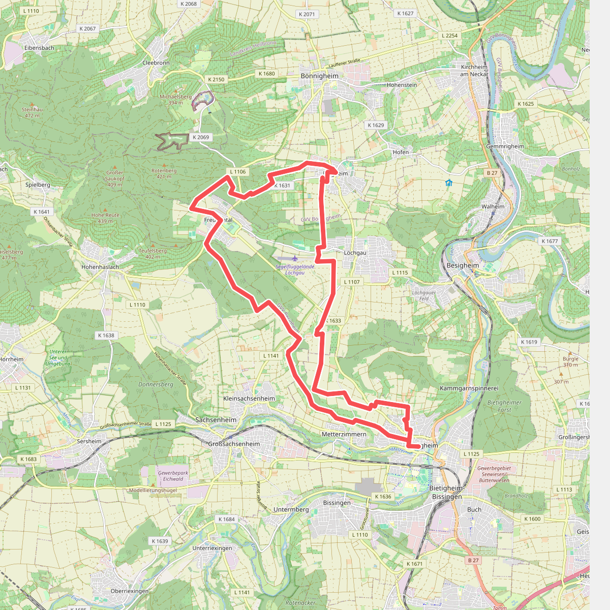
#1. Besen
Bietigheim-Bissingen,Löchgau,Erligheim,Bönnigheim,Freudental,Sachsenheim
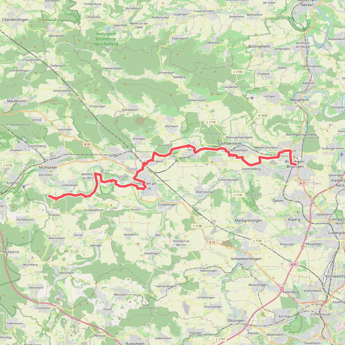
#2. Bietigheimer Weg
Mühlacker,Vaihingen an der Enz,Sersheim,Sachsenheim,Bietigheim-Bissingen
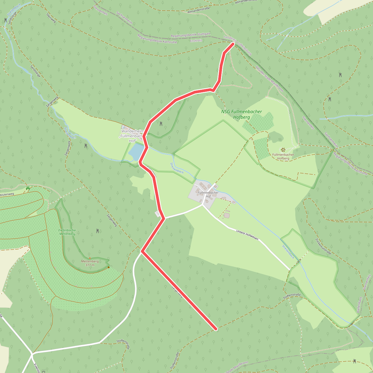
#3. Blauer Punkt, Füllmenbacher Hof
Sternenfels
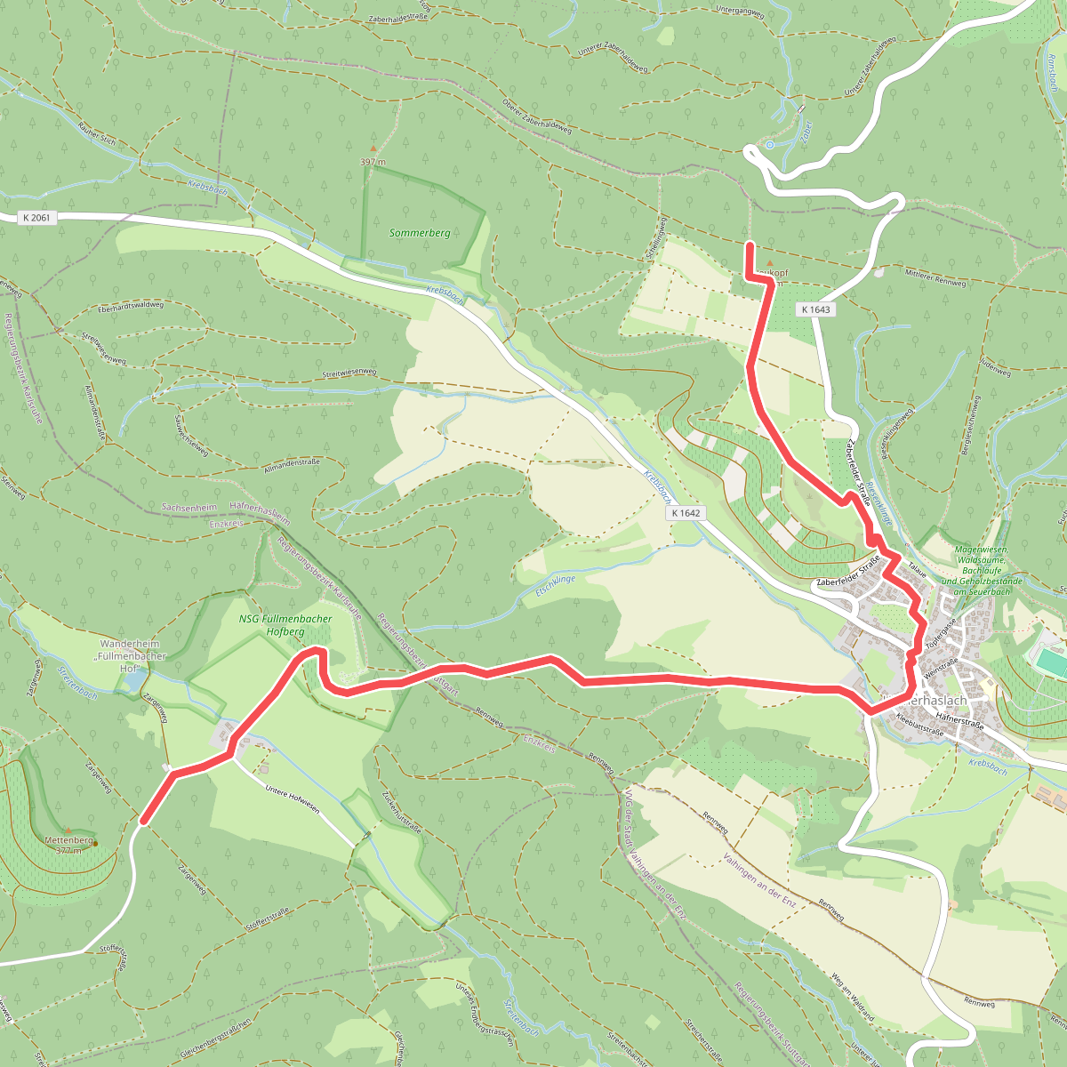
#4. Blauer Punkt, Füllmenbacher Hof - Häfnerhaslach - Rennweg
Sternenfels,Sachsenheim
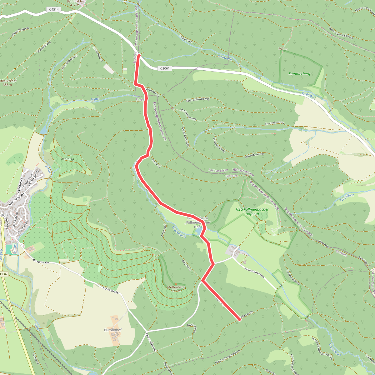
#5. Blauer Punkt, Füllmenbacher Hof - Kanzelbuche
Sternenfels
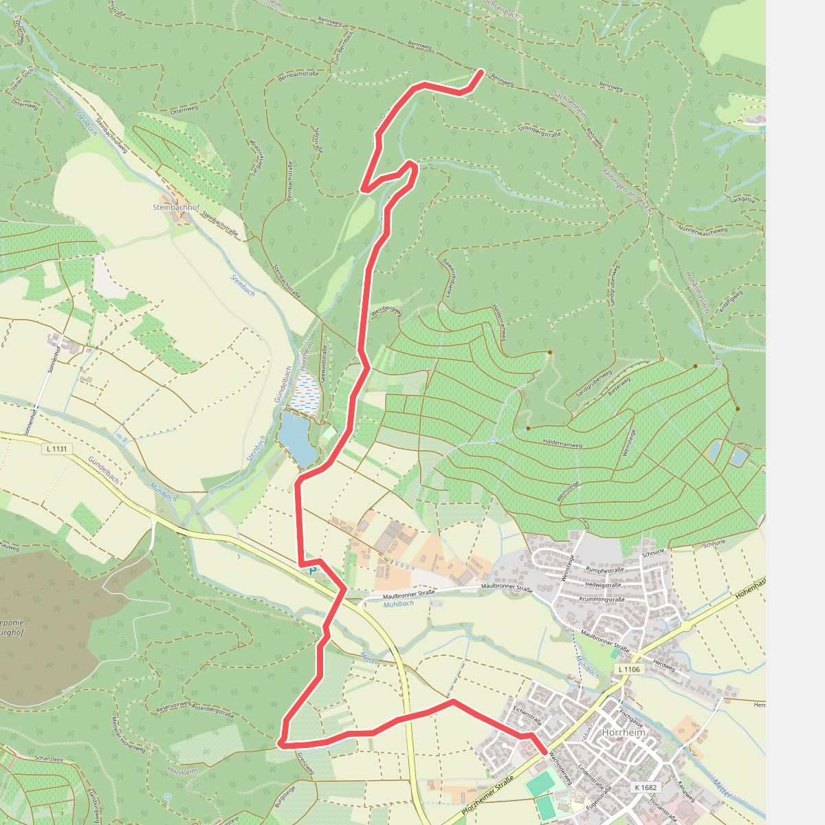
#6. Blauer Punkt, Horrheim - Fleckenwald
Vaihingen an der Enz
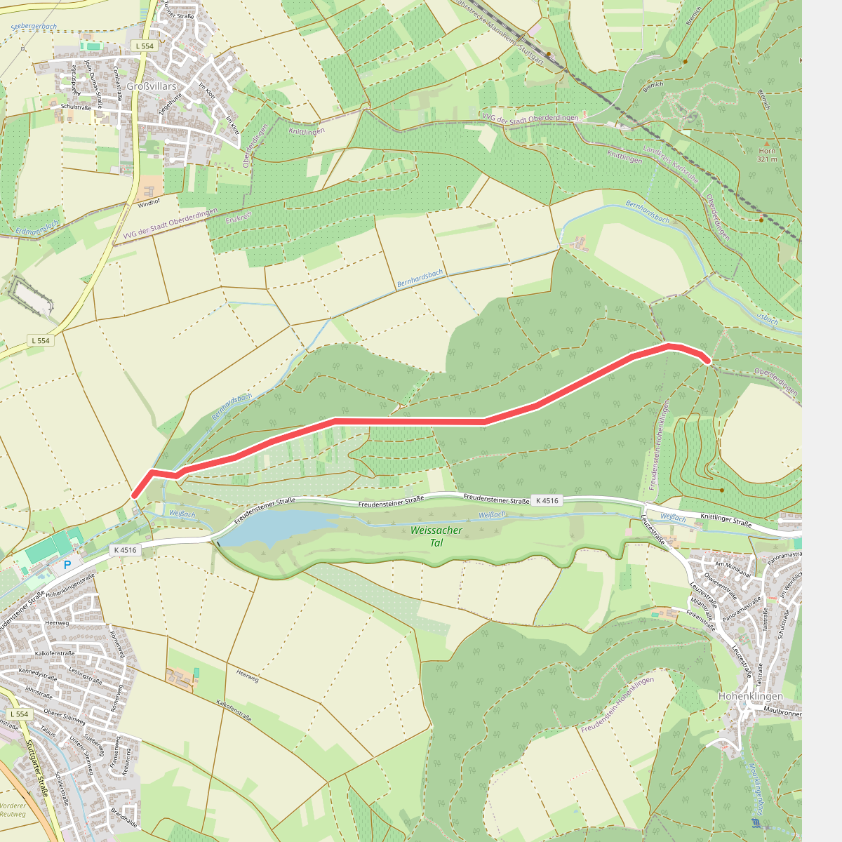
#7. blauer Punkt Knittlingen - Hohenklingen
Oberderdingen,Knittlingen

#8. blauer Punkt Lienzingen
Mühlacker
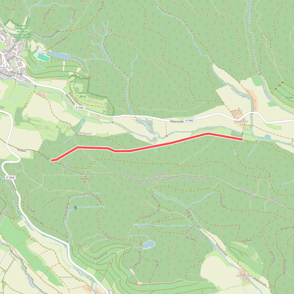
#9. Blauer Punkt Punkt, Kirchbachhof - Hamberg
Sachsenheim

#10. Blauer Punkt, Stetten - Eppingen
Schwaigern,Eppingen
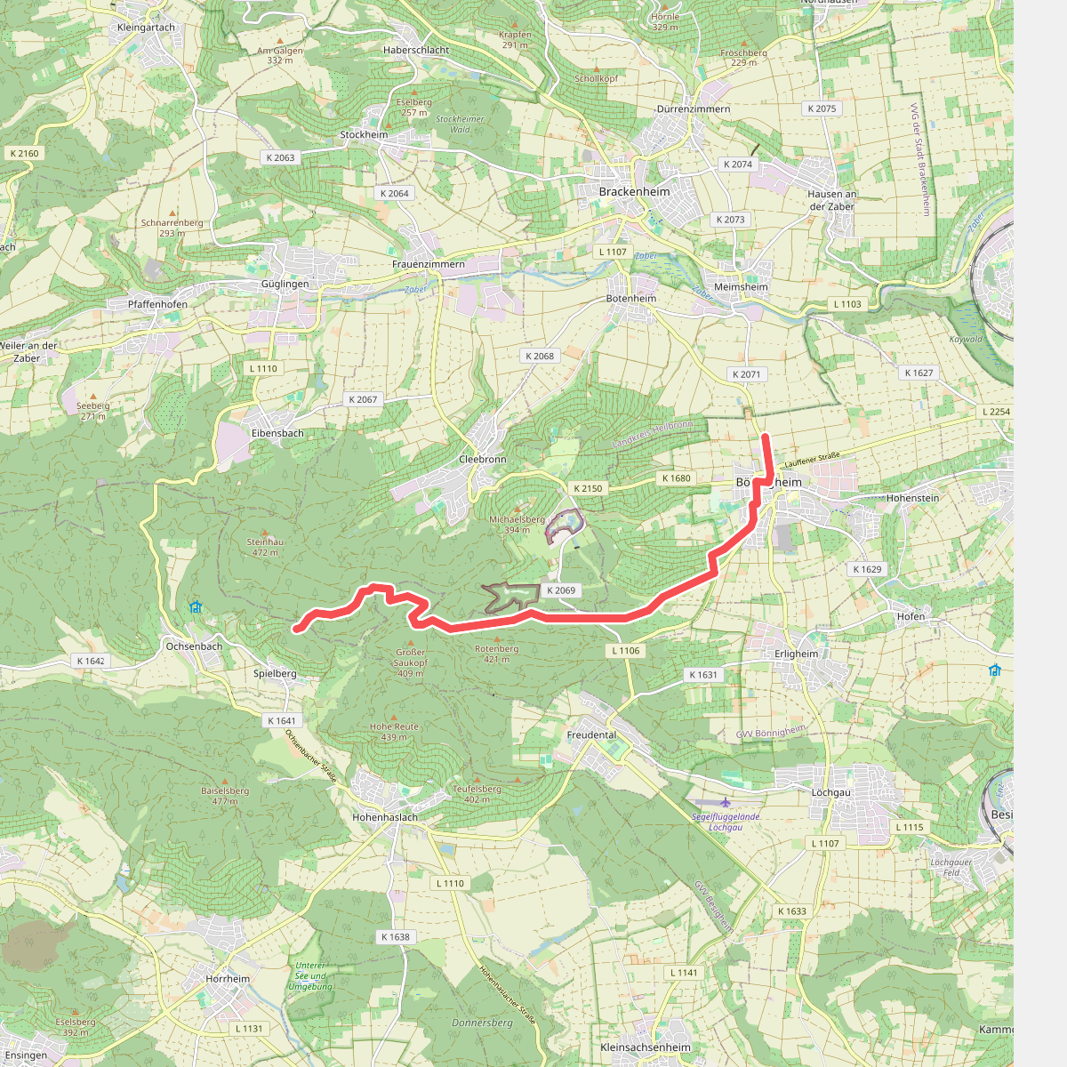
#11. Blaues Kreuz, Bönnigheim - Spielberg
Bönnigheim,Cleebronn,Sachsenheim
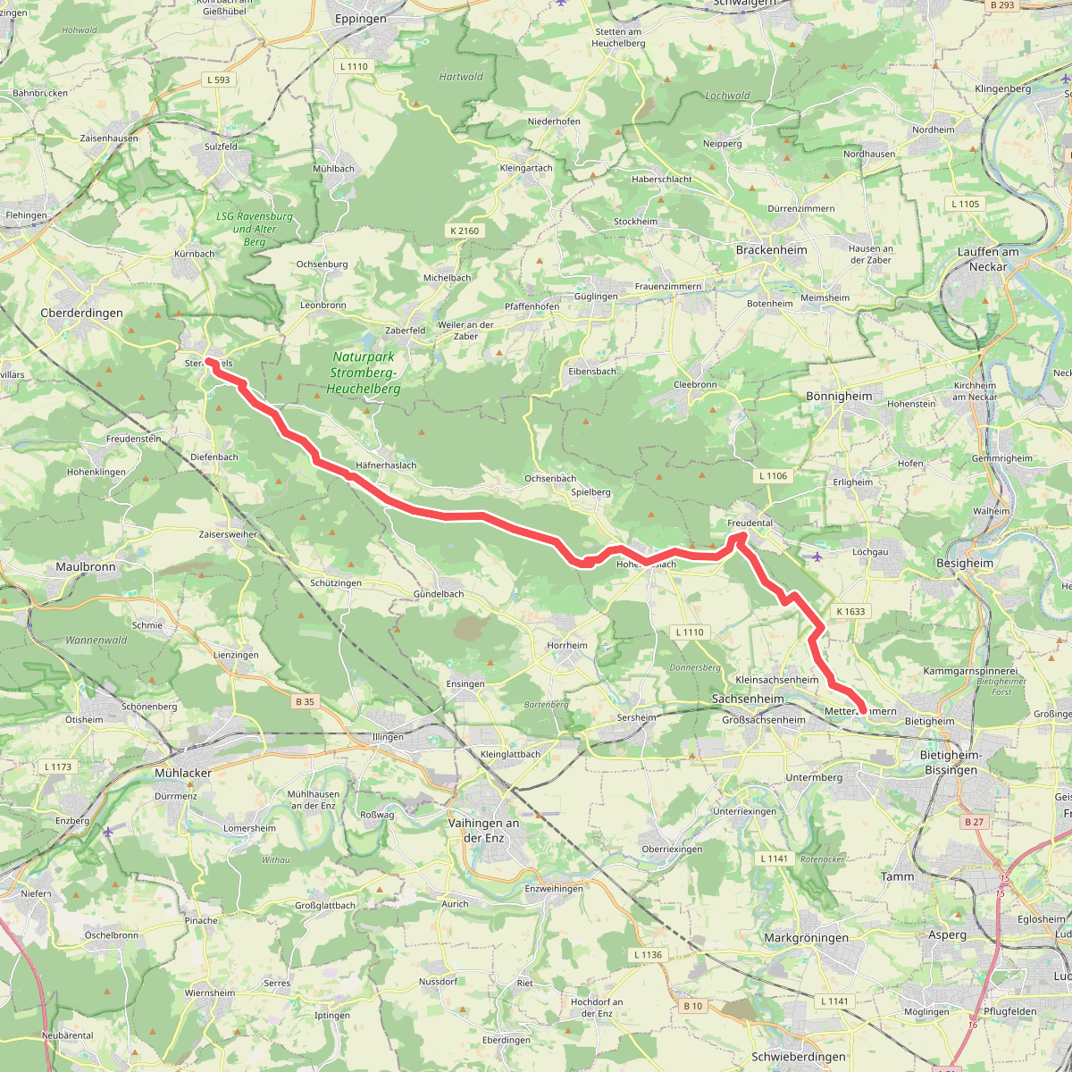
#12. blaues Kreuz Sternenfels - Metterzimmern
Bietigheim-Bissingen,Sachsenheim,Löchgau,Freudental,Vaihingen an der Enz,Sternenfels,Zaberfeld



