

The best hiking routes in Naturpark Obere Donau
Discover the best walks in Naturpark Obere Donau. 232 routes on the map, with descriptions, photos and GPX.
About Naturpark Obere Donau
Naturpark Obere Donau is defined by its deep, limestone canyon cut by the young Danube River. Unlike the wider, flatter river valleys downstream, this section features steep, towering white cliffs that rise directly from the water, interspersed with dense beech and coniferous forests. Underfoot, you will mostly find rocky, uneven limestone paths, steep forest trails, and occasional gravel tracks along the valley floor. It is a vertical landscape where walkers must choose between flat, paved riverside paths or strenuous climbs up to exposed crags.
Read more
About Naturpark Obere Donau
Naturpark Obere Donau is defined by its deep, limestone canyon cut by the young Danube River. Unlike the wider, flatter river valleys downstream, this section features steep, towering white cliffs that rise directly from the water, interspersed with dense beech and coniferous forests. Underfoot, you will mostly find rocky, uneven limestone paths, steep forest trails, and occasional gravel tracks along the valley floor. It is a vertical landscape where walkers must choose between flat, paved riverside paths or strenuous climbs up to exposed crags.
Read moreNaturpark Obere Donau is defined by its deep, limestone canyon cut by the young Danube River. Unlike the wider, flatter river valleys downstream, this section features steep, towering white cliffs that rise directly from the water, interspersed with dense beech and coniferous forests. Underfoot, you will mostly find rocky, uneven limestone paths, steep forest trails, and occasional gravel tracks along the valley floor. It is a vertical landscape where walkers must choose between flat, paved riverside paths or strenuous climbs up to exposed crags.
Reading the landscape reveals a karst terrain where water has carved out numerous caves, sinkholes, and sheer rock faces. You will notice how dry the upper plateaus are compared to the damp, shaded valley bottom, as rainwater quickly drains through the porous limestone. In May, the forest floor on the slopes is covered in wild garlic, while the exposed rocks host specialized alpine flora that thrives in the thin soil.
This park is not a wilderness of endless forests, nor does it offer high mountain peaks. You are never far from small villages, historic castles perched on the cliffs, or the railway line that runs through the valley. The well-known viewpoints near Beuron can become busy on weekends, but the steep connecting trails on the upper rims remain much quieter, offering a rugged, technical walking experience.
Hiking routes in Naturpark Obere Donau (232)
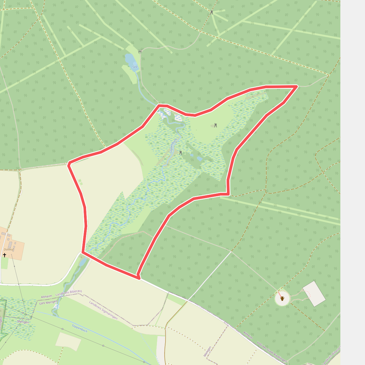
#1. Äbtissinnenpfad
Altheim
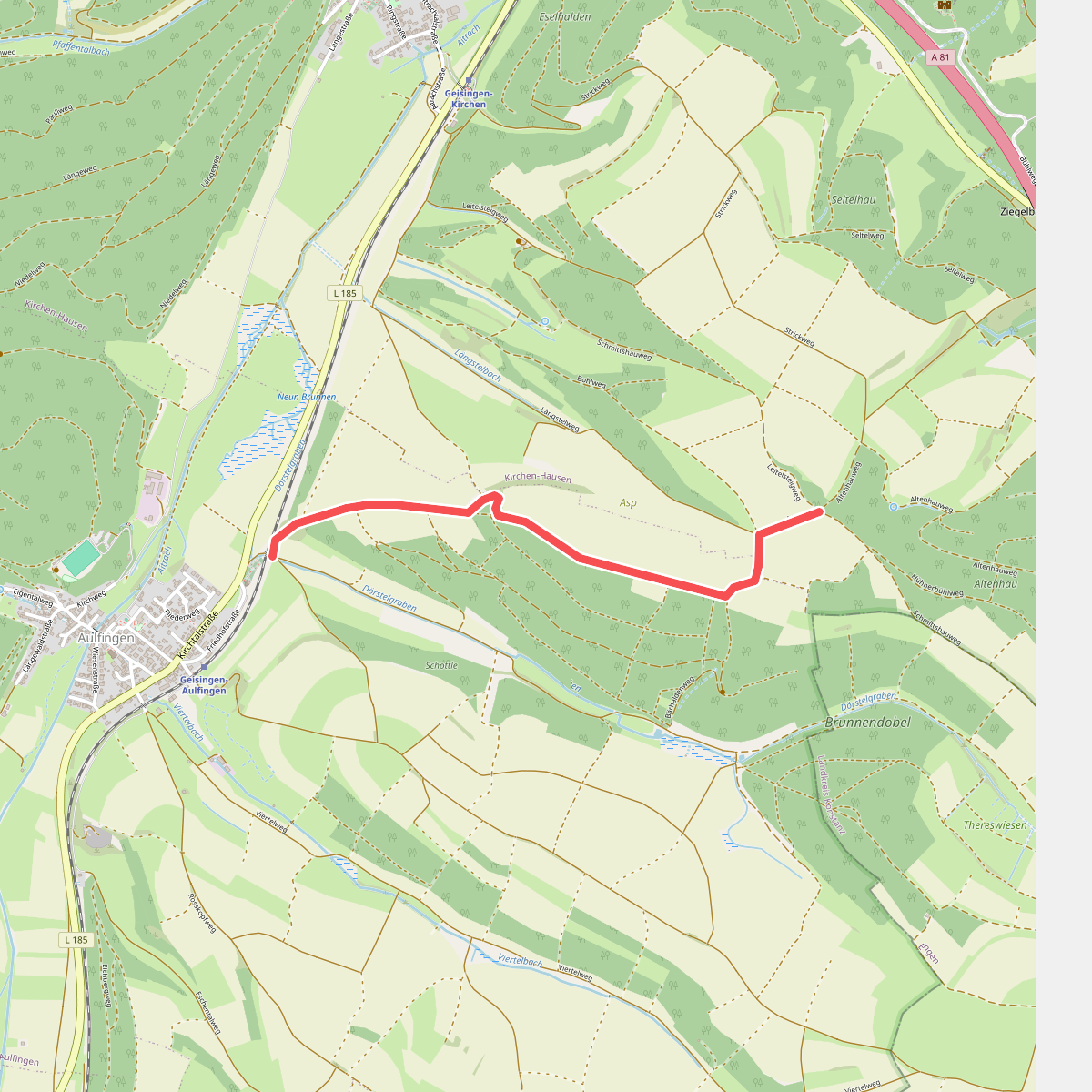
#2. Am Altenhau - Dörstel
Geisingen
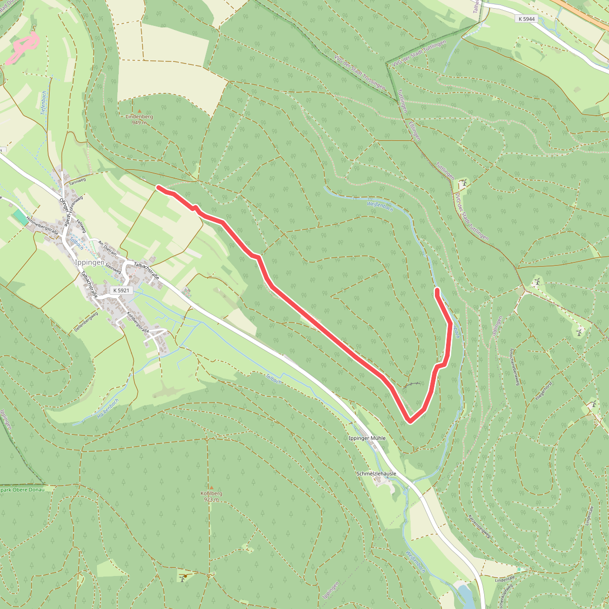
#3. Am Eßlinger Weg - Stegen
Immendingen
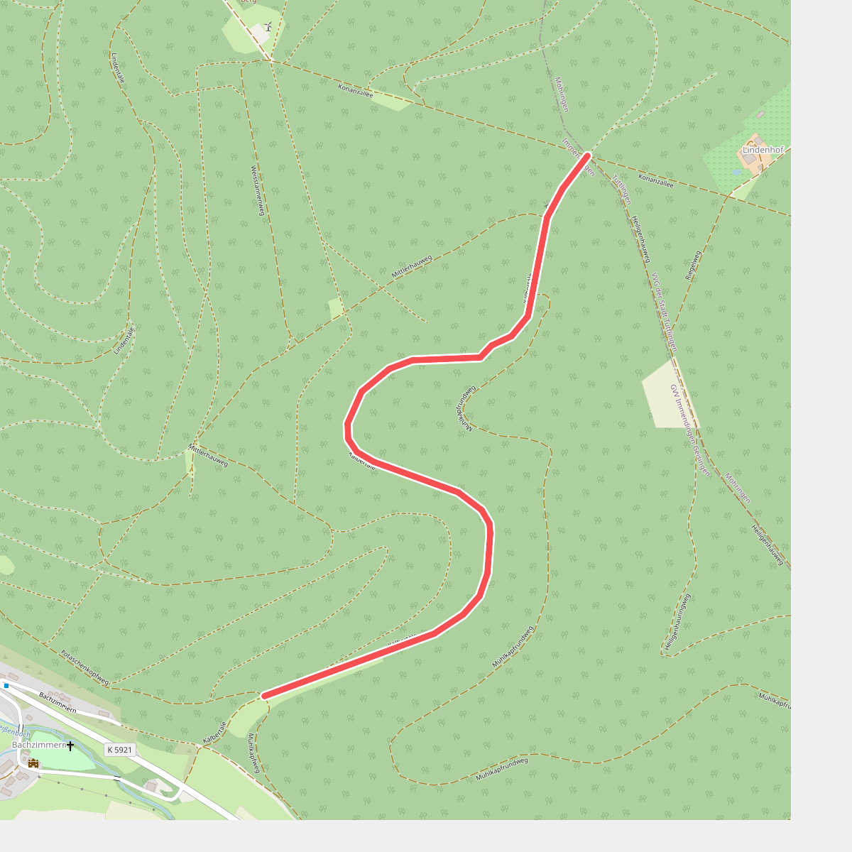
#4. Am Kälbertäle - Kälbertäle-Kreuzung
Immendingen
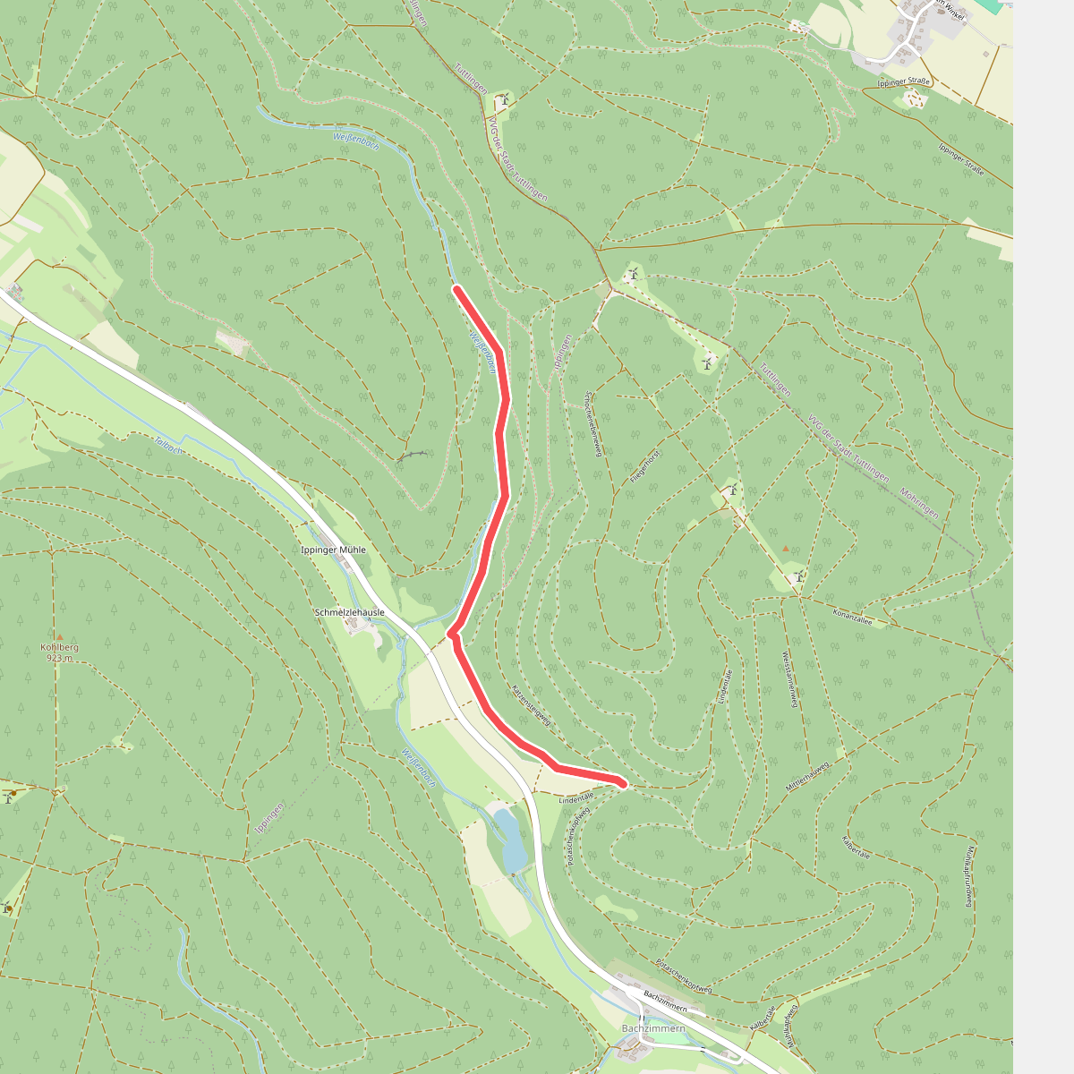
#5. Am Lindentäle - Stegen
Immendingen
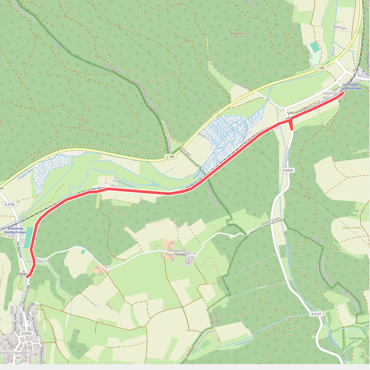
#6. Am Neuhau - Ziegelei
Geisingen,Blumberg
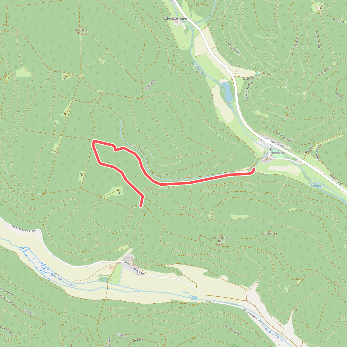
#7. Am Schweizer Tal - Amtenhauser Berg
Immendingen
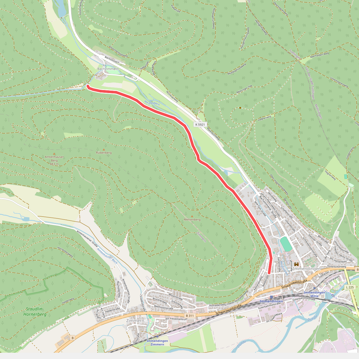
#8. Am Schweizer Tal - Immendingen Hindenburgstraße
Immendingen
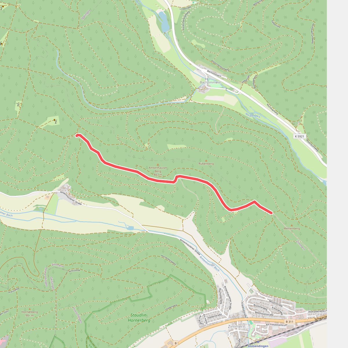
#9. Amtenhauser Berg - Mettenberg
Immendingen
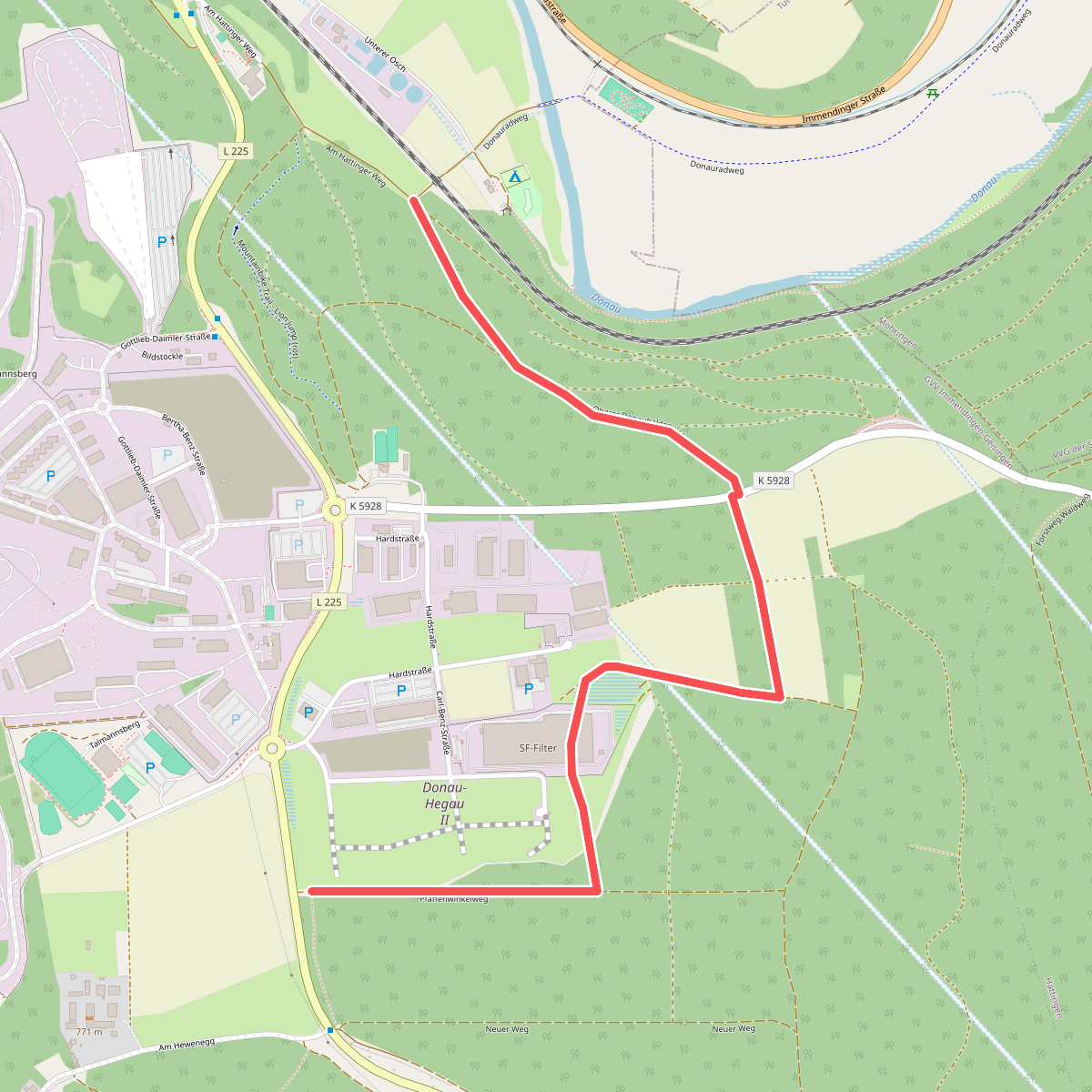
#10. An der Donauversinkung - Pfaffenwinkel
Immendingen
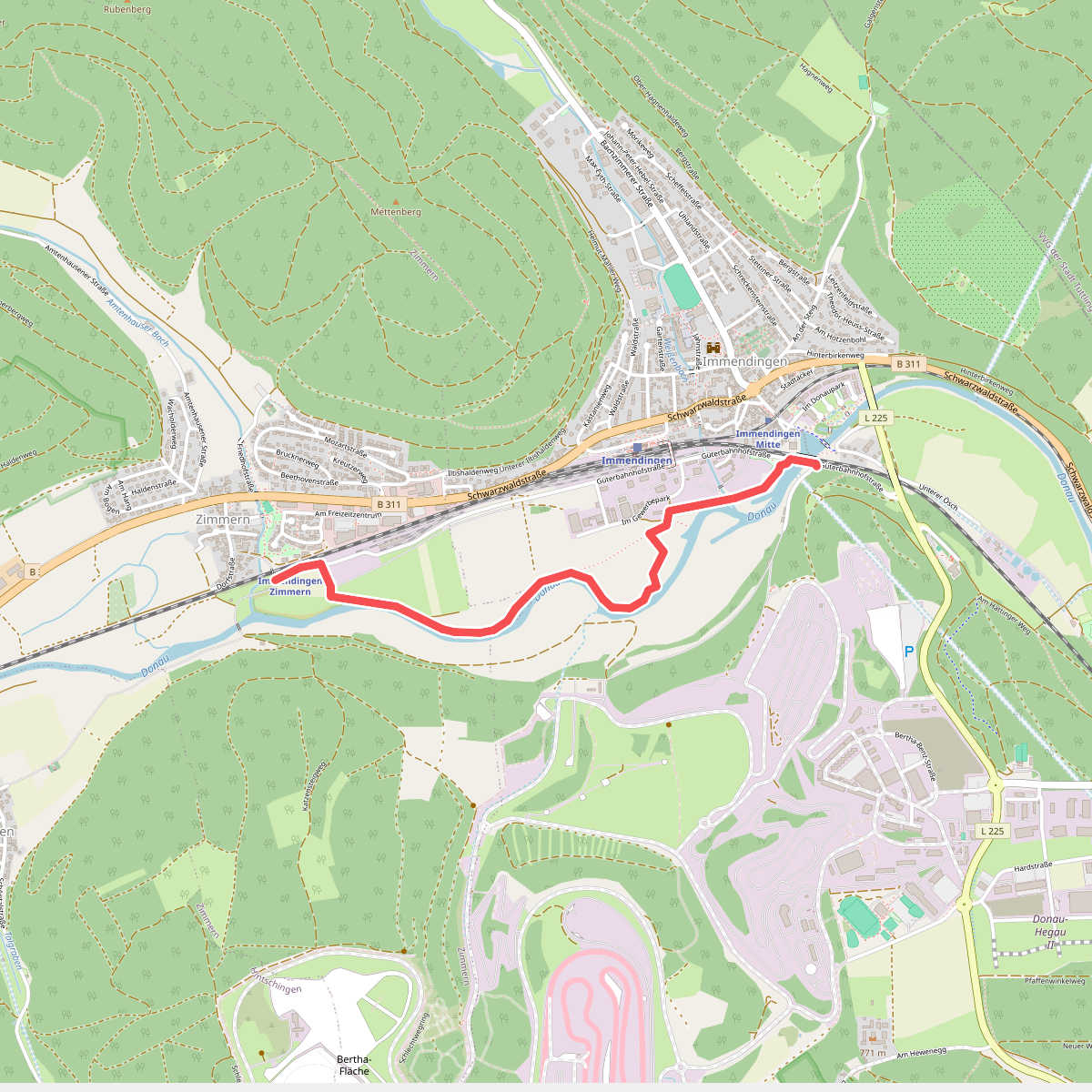
#11. An der Ziegelhütte - Haltepunkt Zimmern
Immendingen
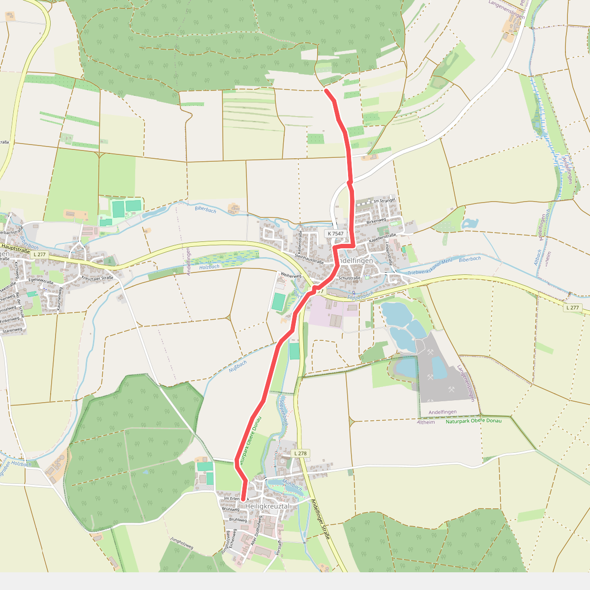
#12. Andelfingen - Heiligkreuztal
Langenenslingen,Altheim



