

The best hiking routes in Naturpark Hümmling
Discover the best walks in Naturpark Hümmling. 10 routes on the map, with descriptions, photos and GPX.
About Naturpark Hümmling
Naturpark Hümmling is a gently rolling forested moraine rising above the surrounding flat peatlands of northwestern Germany. Unlike the vast open bogs nearby, this area is defined by its dry, sandy soils, extensive pine and beech woodlands, and scattered patches of dry heath. Walkers will notice a landscape shaped by the ice age, where the terrain rises slightly to form a sandy ridge, punctuated by massive stone megalithic tombs that sit directly alongside the paths. Underfoot, the trails are predominantly soft sand tracks and needle-covered forest paths, rather than the wet peat or boardwalks found in the neighboring lowlands.
Read more
About Naturpark Hümmling
Naturpark Hümmling is a gently rolling forested moraine rising above the surrounding flat peatlands of northwestern Germany. Unlike the vast open bogs nearby, this area is defined by its dry, sandy soils, extensive pine and beech woodlands, and scattered patches of dry heath. Walkers will notice a landscape shaped by the ice age, where the terrain rises slightly to form a sandy ridge, punctuated by massive stone megalithic tombs that sit directly alongside the paths. Underfoot, the trails are predominantly soft sand tracks and needle-covered forest paths, rather than the wet peat or boardwalks found in the neighboring lowlands.
Read moreNaturpark Hümmling is a gently rolling forested moraine rising above the surrounding flat peatlands of northwestern Germany. Unlike the vast open bogs nearby, this area is defined by its dry, sandy soils, extensive pine and beech woodlands, and scattered patches of dry heath. Walkers will notice a landscape shaped by the ice age, where the terrain rises slightly to form a sandy ridge, punctuated by massive stone megalithic tombs that sit directly alongside the paths. Underfoot, the trails are predominantly soft sand tracks and needle-covered forest paths, rather than the wet peat or boardwalks found in the neighboring lowlands.
As you walk, the transition between the dense, shaded forestry plantations and the open, purple-flowering heather glades in August and September is highly visible. The landscape is not one of dramatic peaks or deep valleys, but rather a subtle, undulating plateau where the soil composition dictates the vegetation. You will find yourself walking through managed timber forests that suddenly open up into historic pasture woodlands, where ancient, twisted oaks grow on old boundary ramparts.
Because the terrain is dry and sandy, the paths remain firm underfoot without the deep mud typical of the surrounding marshlands. While the well-known megalithic sites near the outer edges can attract visitors, the deeper forest tracks offer a quiet, consistent woodland experience. It is a place for steady, level walking through a mix of forestry and heath, where the main interest lies in the details of the woodland floor and the sudden appearance of prehistoric stone monuments.
Hiking routes in Naturpark Hümmling (10)
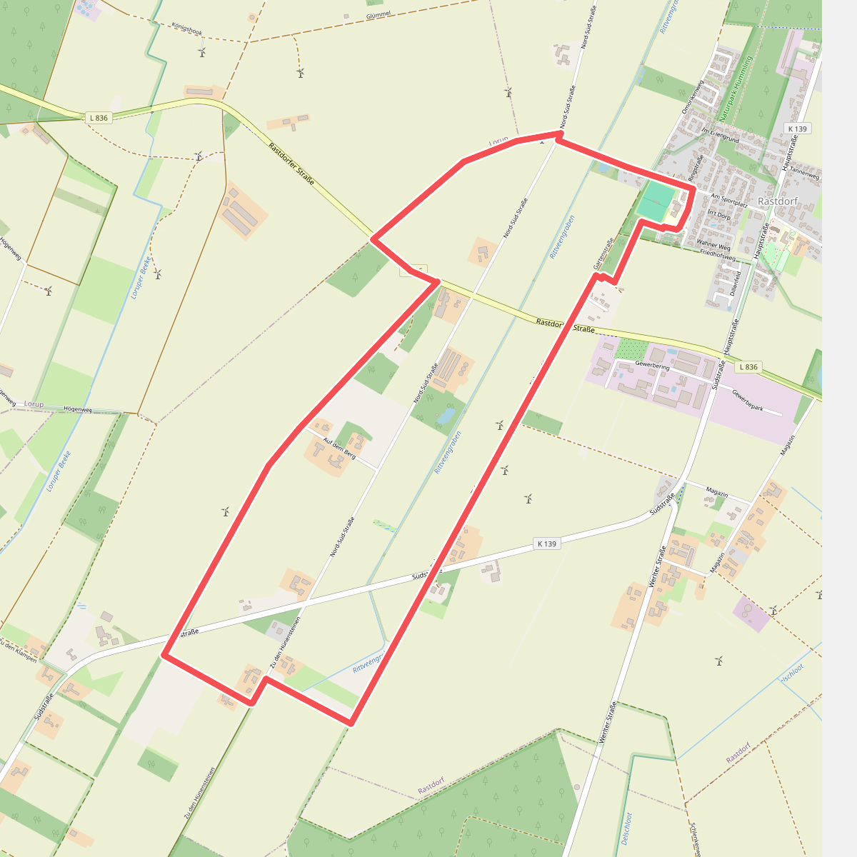
#1. Apfel-Route
Rastdorf
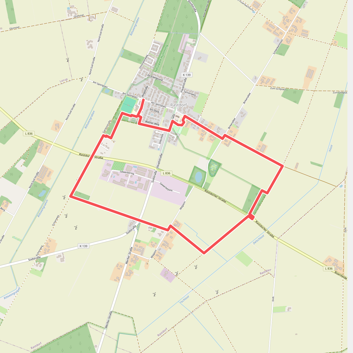
#2. Birnen-Route
Rastdorf
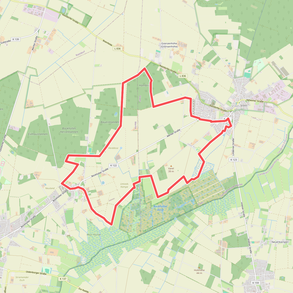
#3. Dosenmoortour
Vrees,Werlte
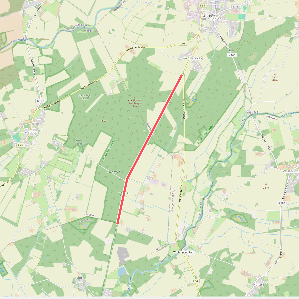
#4. Historische Straße, Klein Berßen
Klein Berßen,Haselünne
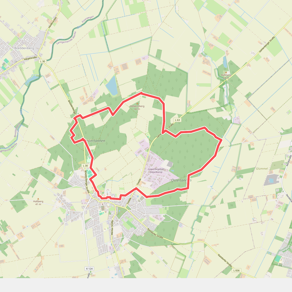
#5. Kateekerpatt
Lorup
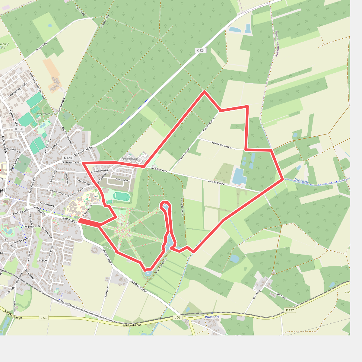
#6. Kurfürsten-Runde - Hümmling-Pfade
Sögel
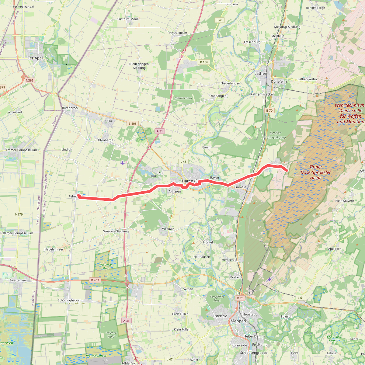
#7. Monniken
Haren (Ems)
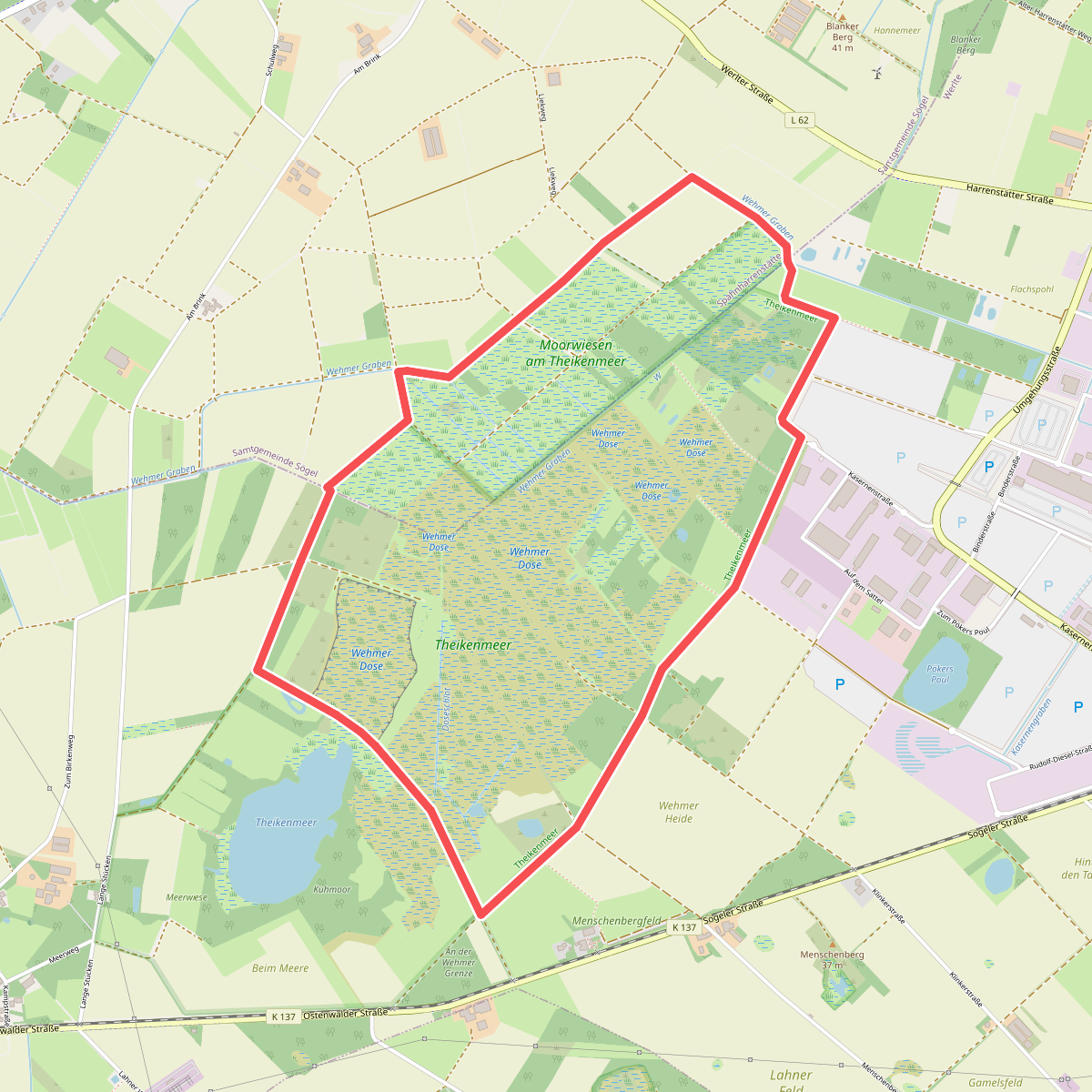
#8. Theikenmeer-Runde
Werlte,Spahnharrenstätte
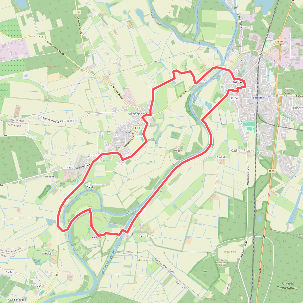
#9. Wanderweg Lathen Oberlangen Niederlangen
Niederlangen,Lathen,Oberlangen
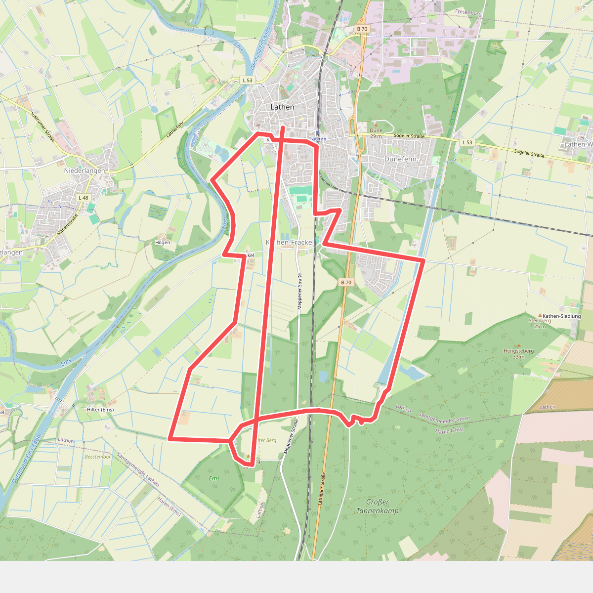
#10. Wanderweg Lathen-Süd Kathen-Siedlung Hilterberg
Lathen,Haren (Ems)



