

The best hiking routes in Naturpark Hohes Venn-Eifel
Discover the best walks in Naturpark Hohes Venn-Eifel. 292 routes on the map, with descriptions, photos and GPX.
About Naturpark Hohes Venn-Eifel
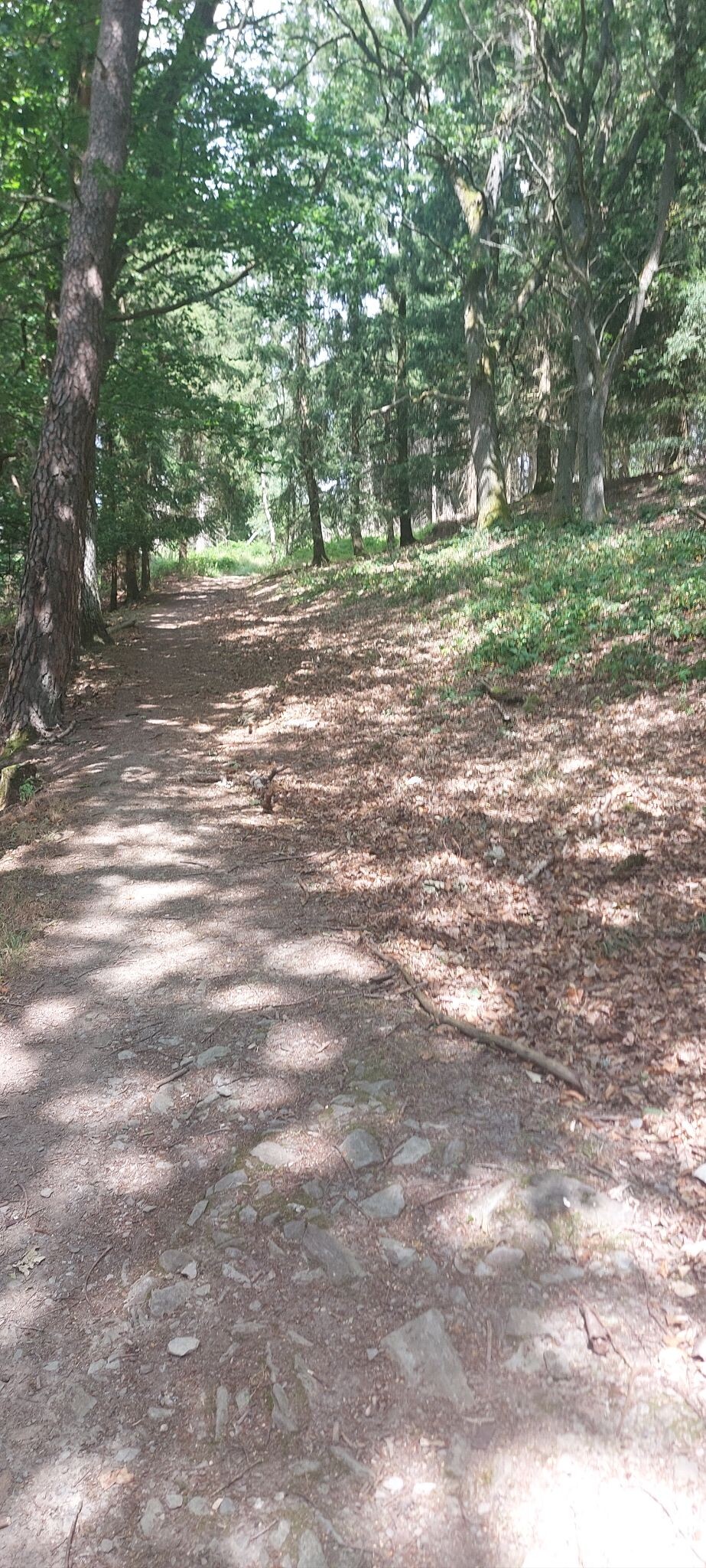
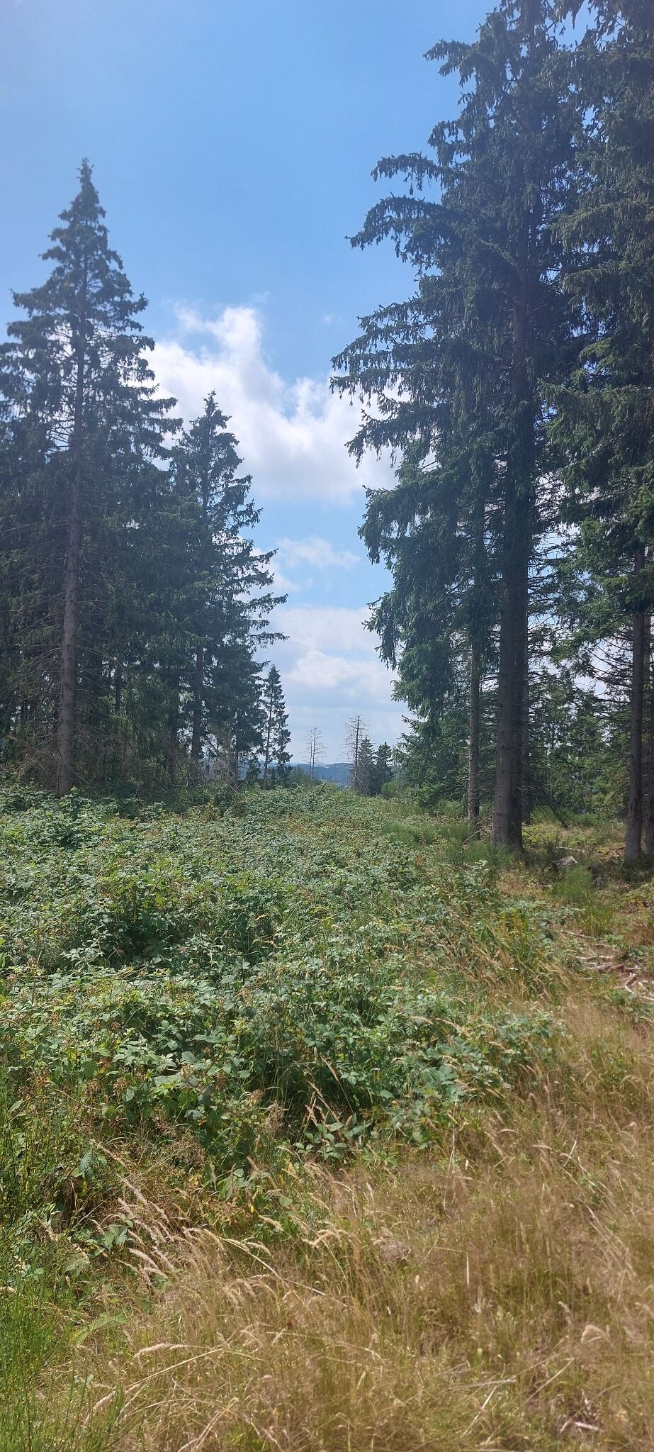
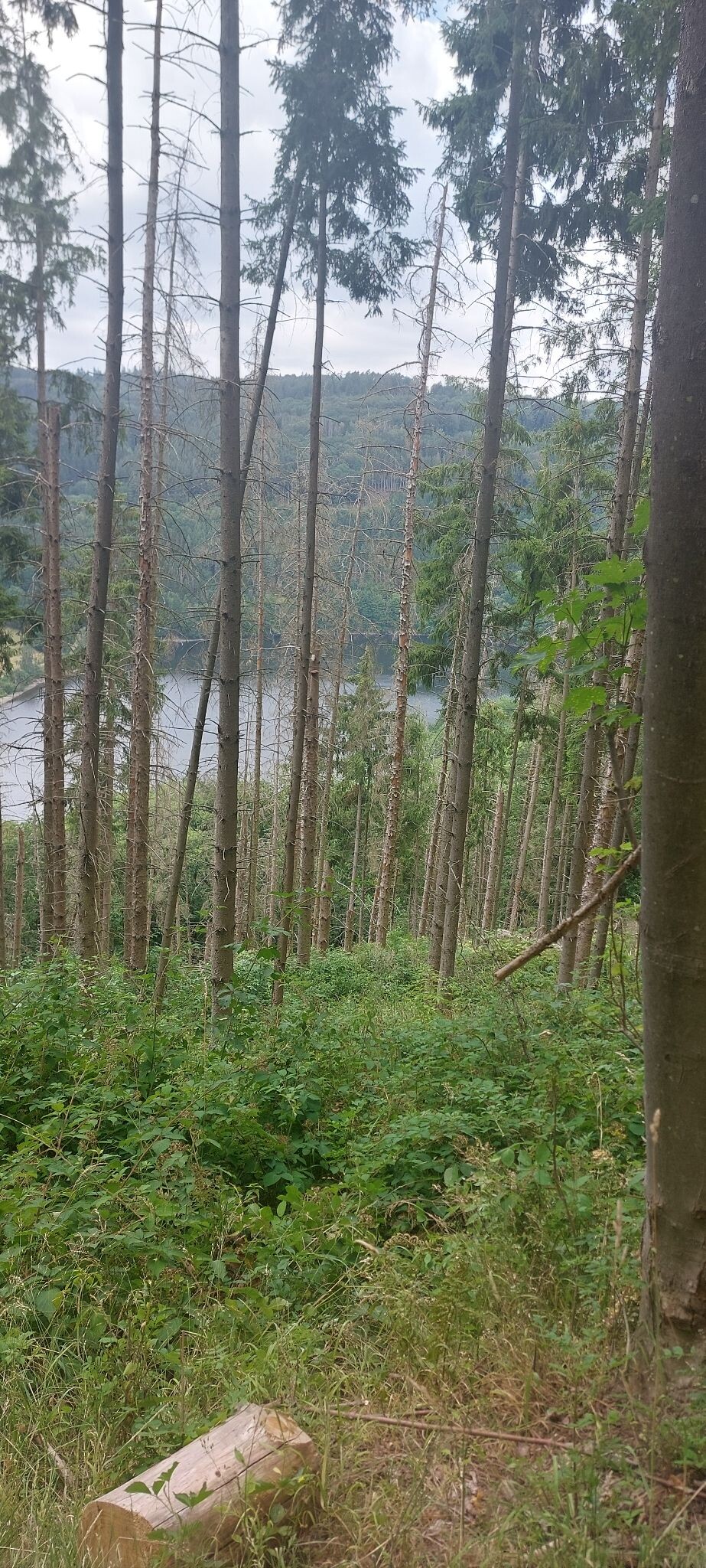
The Naturpark Hohes Venn-Eifel is characterized by its high upland peat bogs, dense spruce plantations, and open, windswept heathlands. Unlike the surrounding lowlands, this plateau features a vast, elevated bog landscape where waterlogged peat mosses have accumulated over thousands of years. Walkers will notice a stark contrast between the dark, damp forest tracks and the exposed, treeless expanses of the high fens, where wooden boardwalks are essential to navigate the fragile, saturated ground.
Read more
About Naturpark Hohes Venn-Eifel
The Naturpark Hohes Venn-Eifel is characterized by its high upland peat bogs, dense spruce plantations, and open, windswept heathlands. Unlike the surrounding lowlands, this plateau features a vast, elevated bog landscape where waterlogged peat mosses have accumulated over thousands of years. Walkers will notice a stark contrast between the dark, damp forest tracks and the exposed, treeless expanses of the high fens, where wooden boardwalks are essential to navigate the fragile, saturated ground.
Read moreThe Naturpark Hohes Venn-Eifel is characterized by its high upland peat bogs, dense spruce plantations, and open, windswept heathlands. Unlike the surrounding lowlands, this plateau features a vast, elevated bog landscape where waterlogged peat mosses have accumulated over thousands of years. Walkers will notice a stark contrast between the dark, damp forest tracks and the exposed, treeless expanses of the high fens, where wooden boardwalks are essential to navigate the fragile, saturated ground.
Underfoot, the terrain alternates between these elevated wooden planks, muddy peat paths, and stony forestry tracks. The landscape is not one of dramatic peaks or deep gorges, but rather a gently rolling, high-altitude plateau that feels vast and exposed. In late summer, particularly in August, the dry heath sections turn a vibrant purple, while the wetter bog areas remain dominated by pale cotton grass and deep pools of dark water.
While the main boardwalk routes near the nature centers attract steady foot traffic, the deeper forest trails and the peripheral valleys offer a much quieter experience. Visitors should expect open terrain where there is little shelter from the elements, meaning the landscape can feel stark and austere compared to typical woodland parks.
Hiking routes in Naturpark Hohes Venn-Eifel (292)
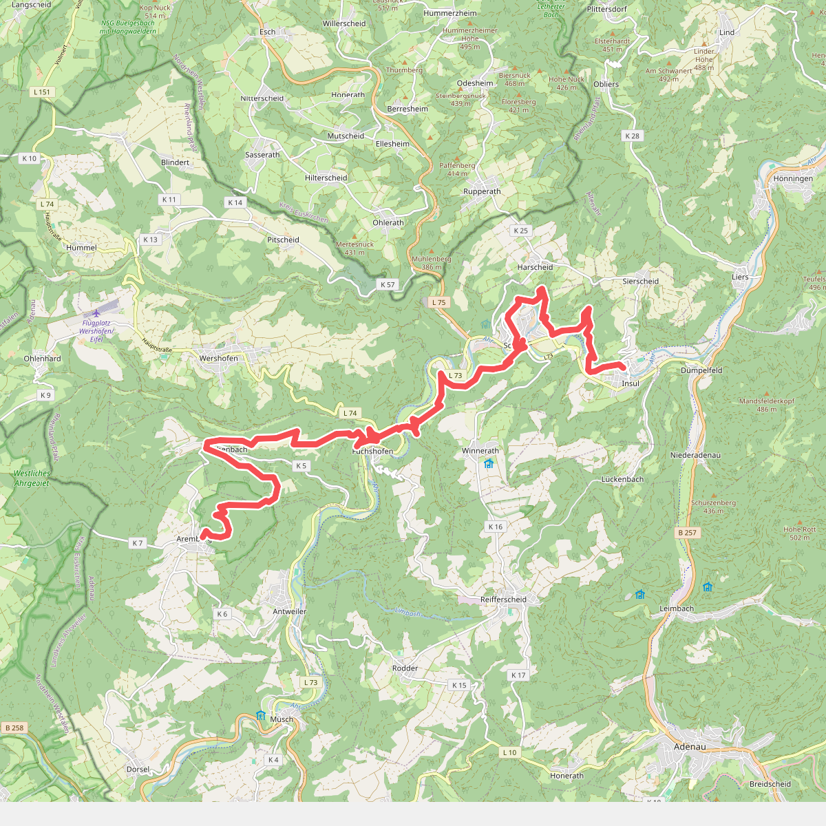
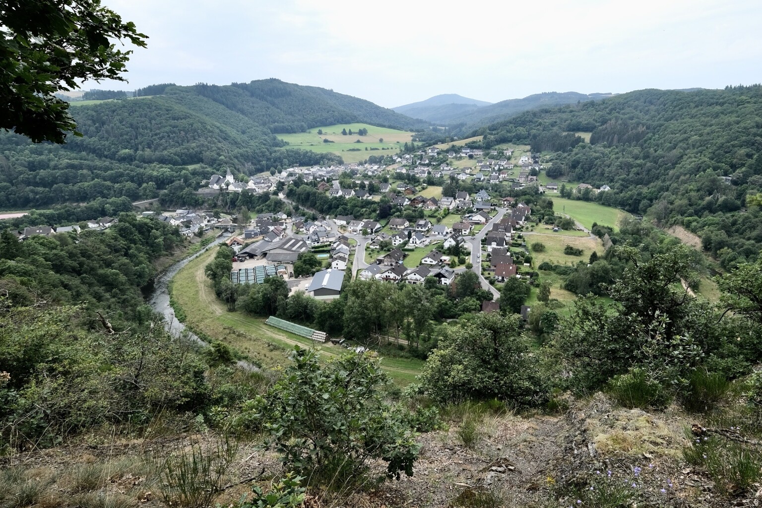
#1. Aremberg - Insul · AhrSteig etappe 3
Aremberg,Eichenbach,Wershofen,Winnerath,Schuld,Harscheid,Insul
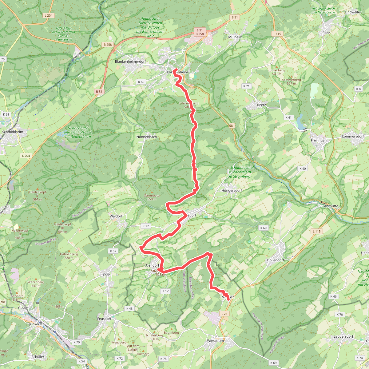
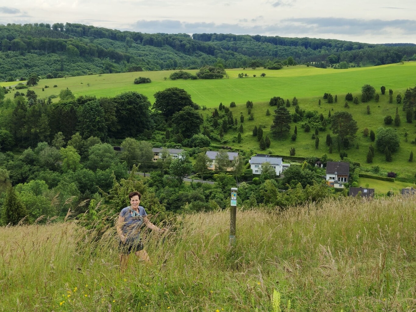
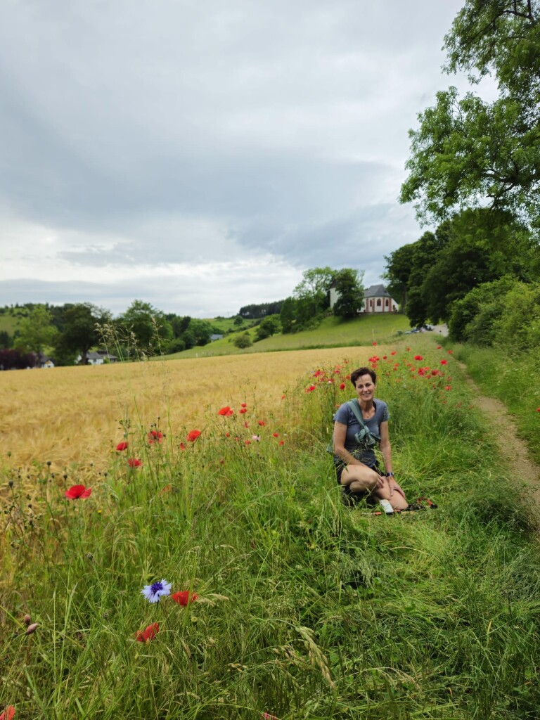
#2. Blankenheim - Mirbach · Eifelsteig etappe 7
Blankenheim,Wiesbaum
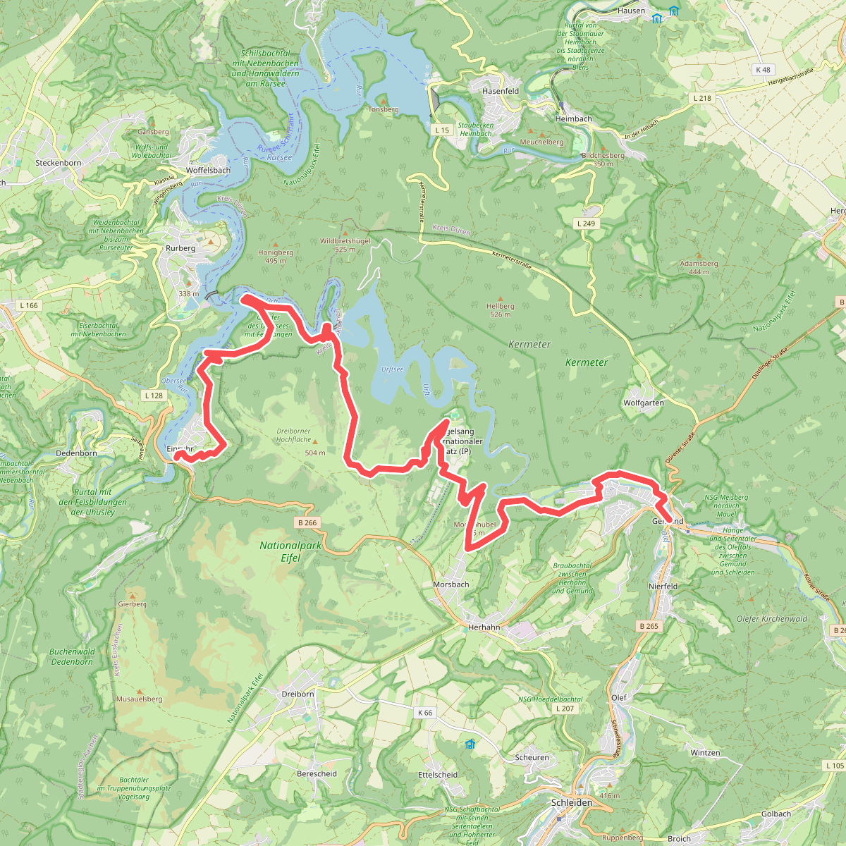
#3. Einruhr - Gemünd · Eifelsteig etappe 4
Simmerath,Schleiden
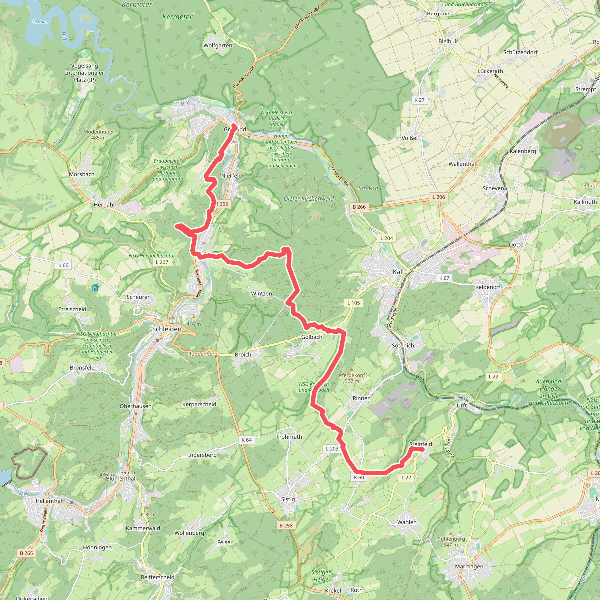
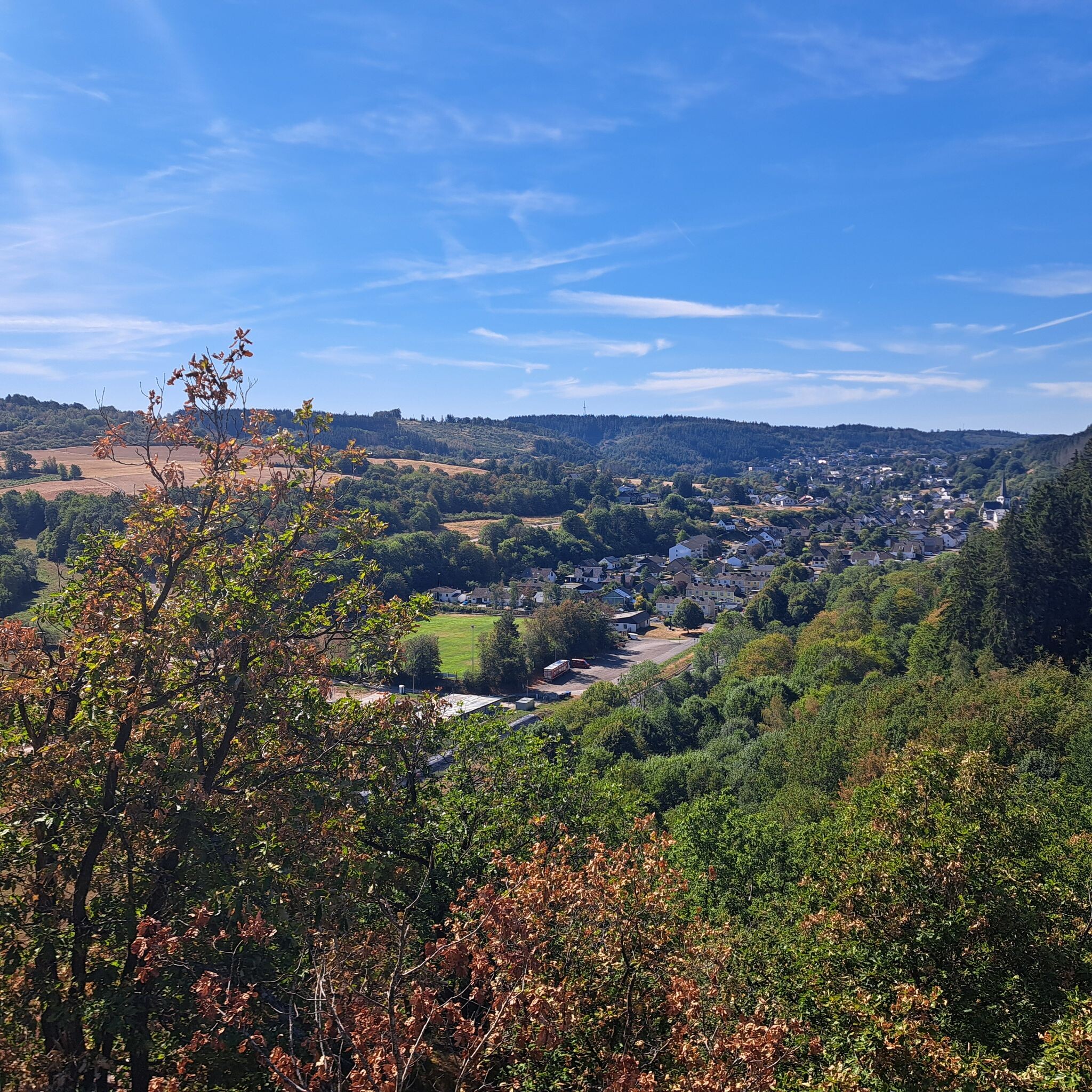
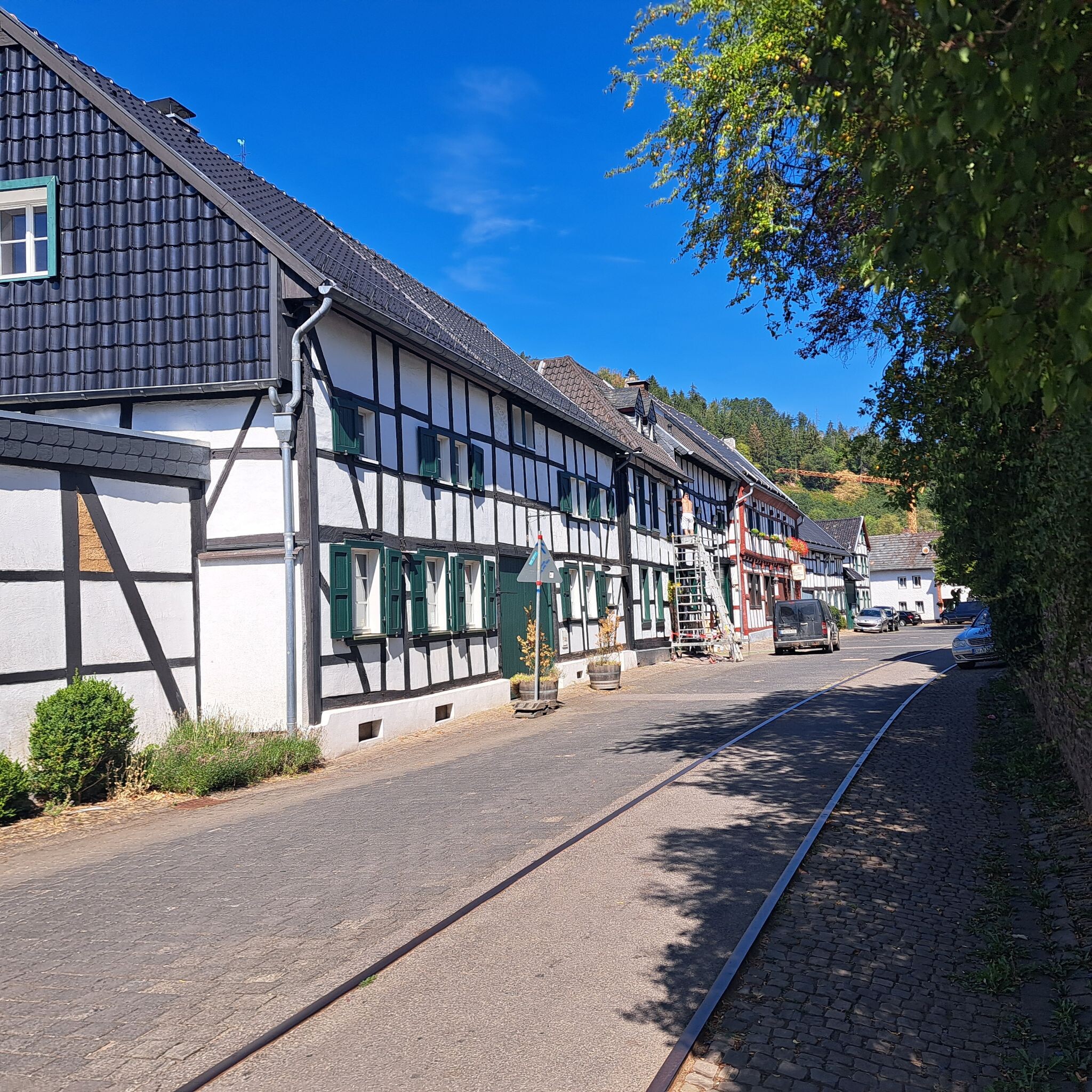
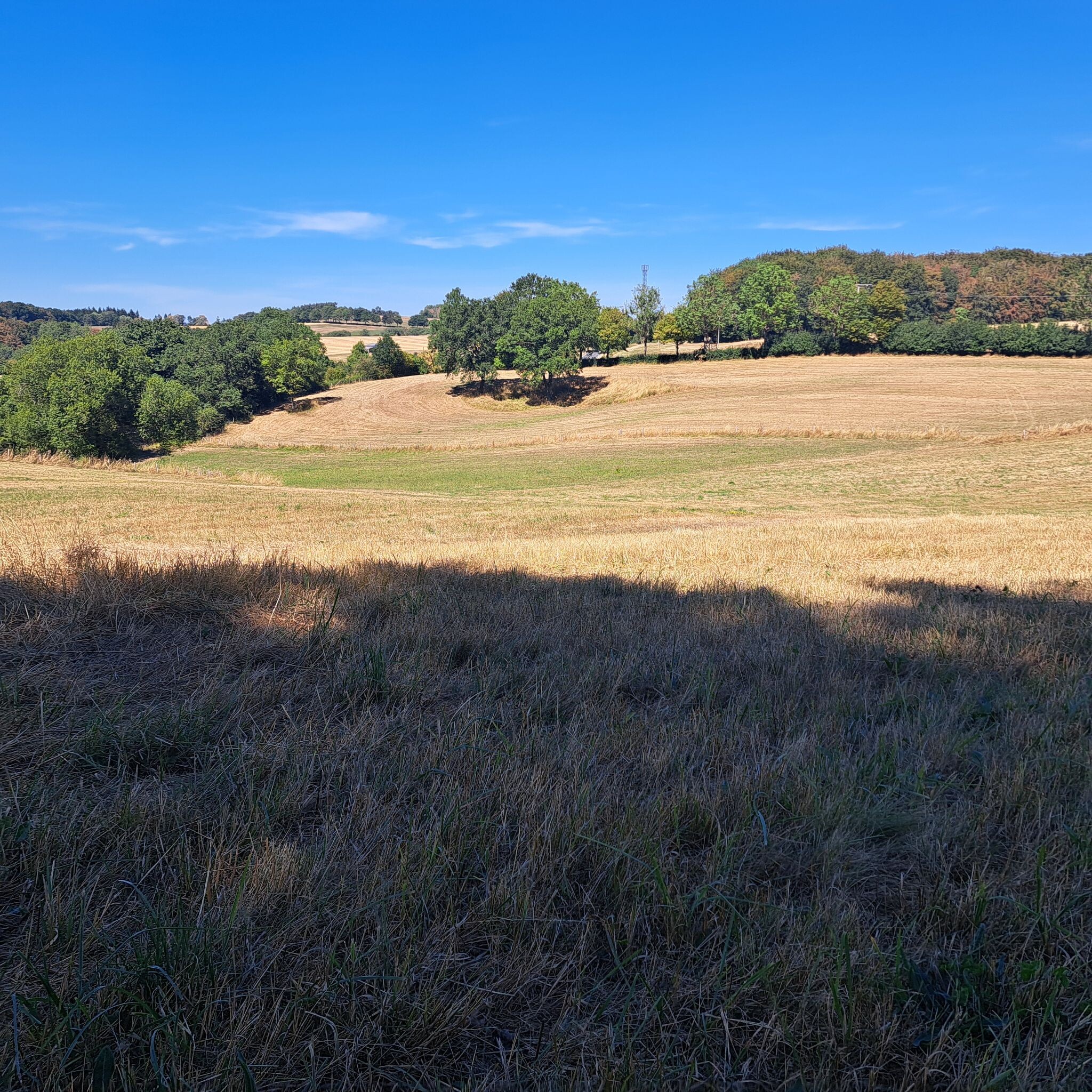
#4. Gemünd - Steinfeld · Eifelsteig etappe 5
Schleiden,Kall
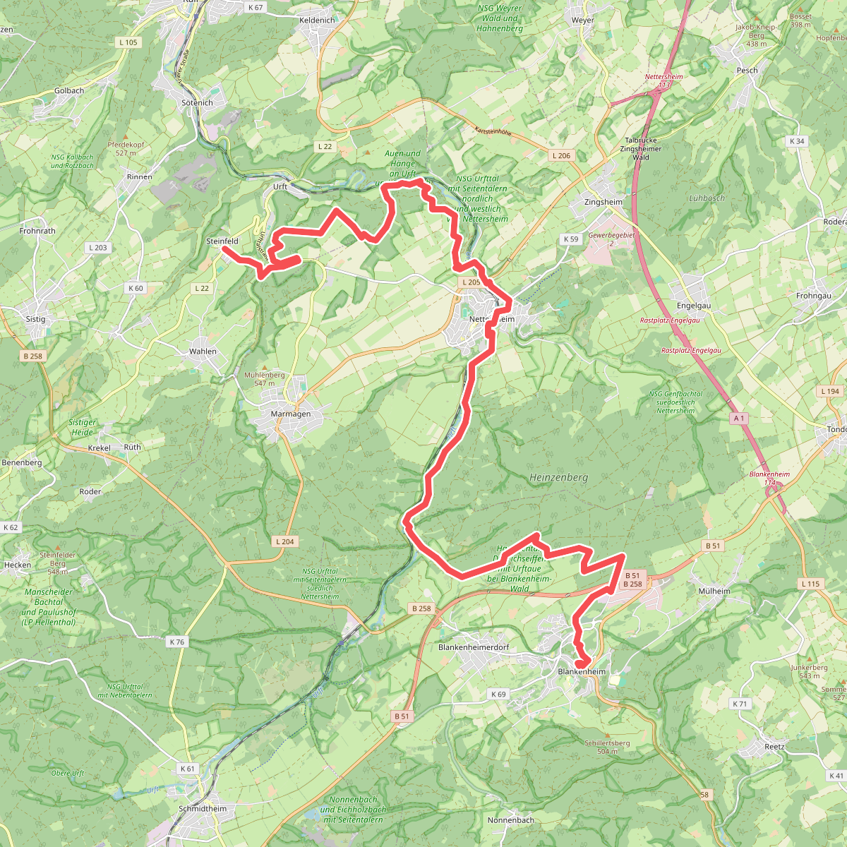
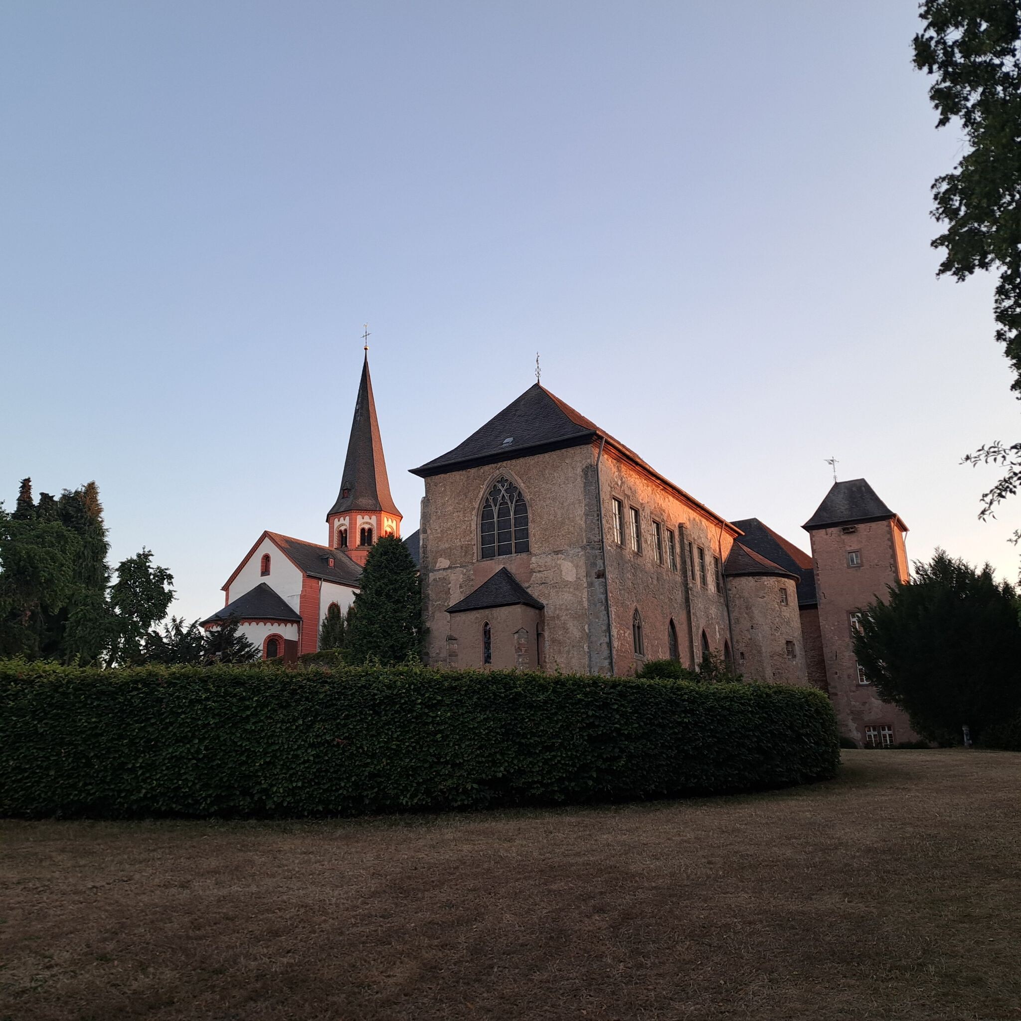
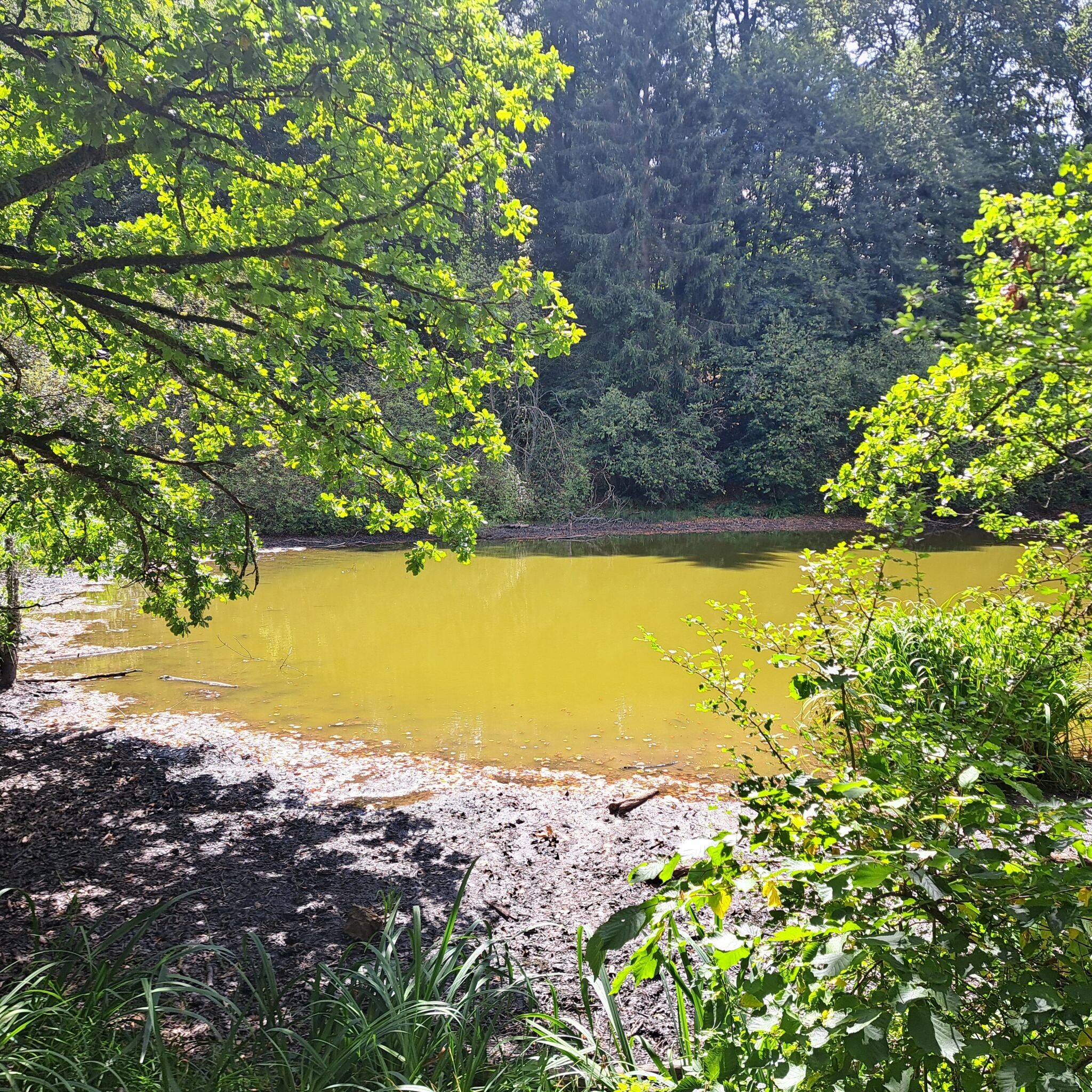
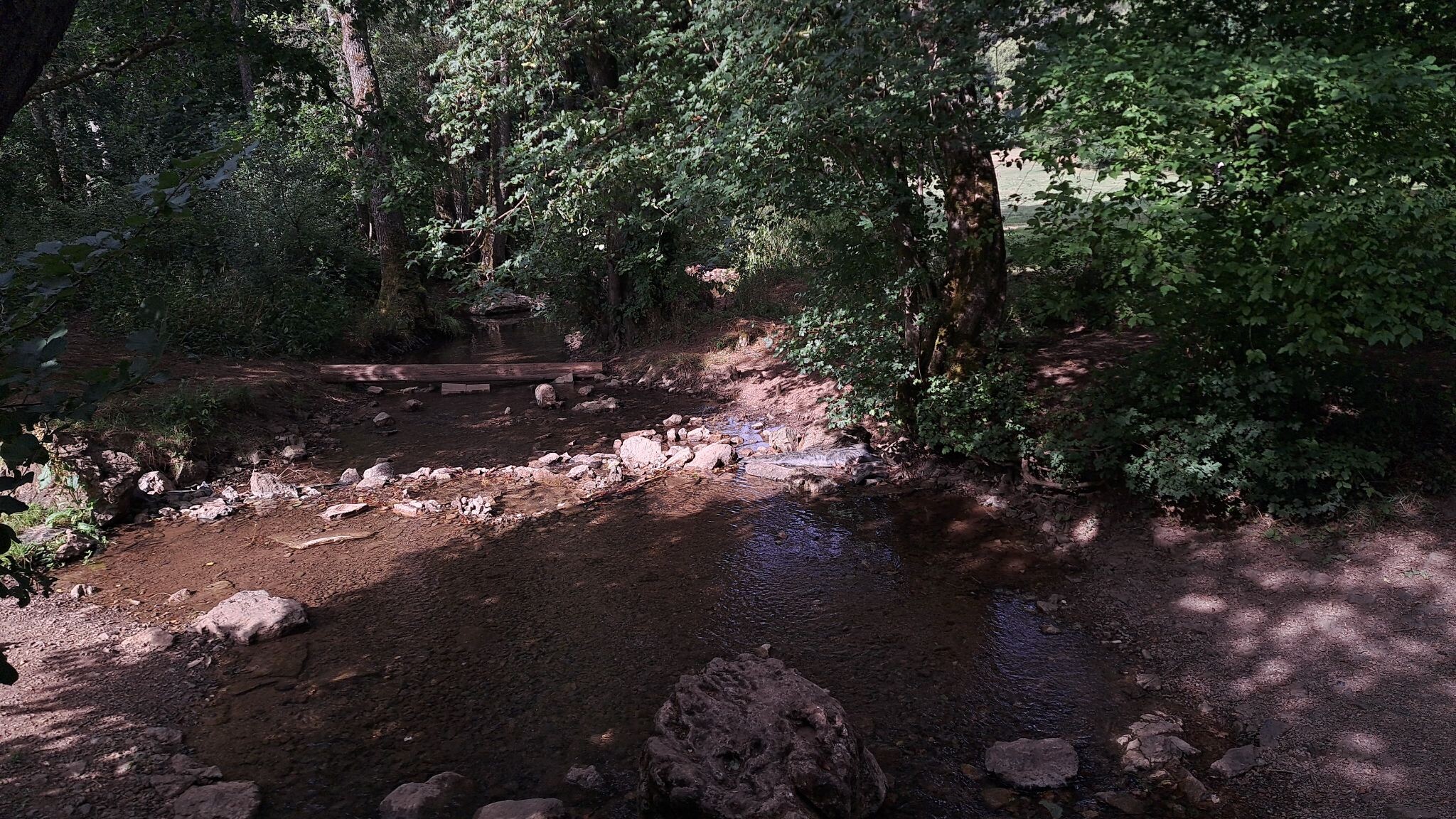
#5. Kloster Steinfeld - Blankenheim · Eifelsteig etappe 6
Kall,Nettersheim,Blankenheim
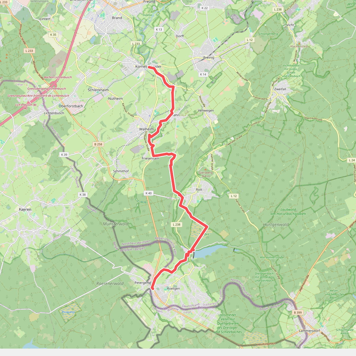
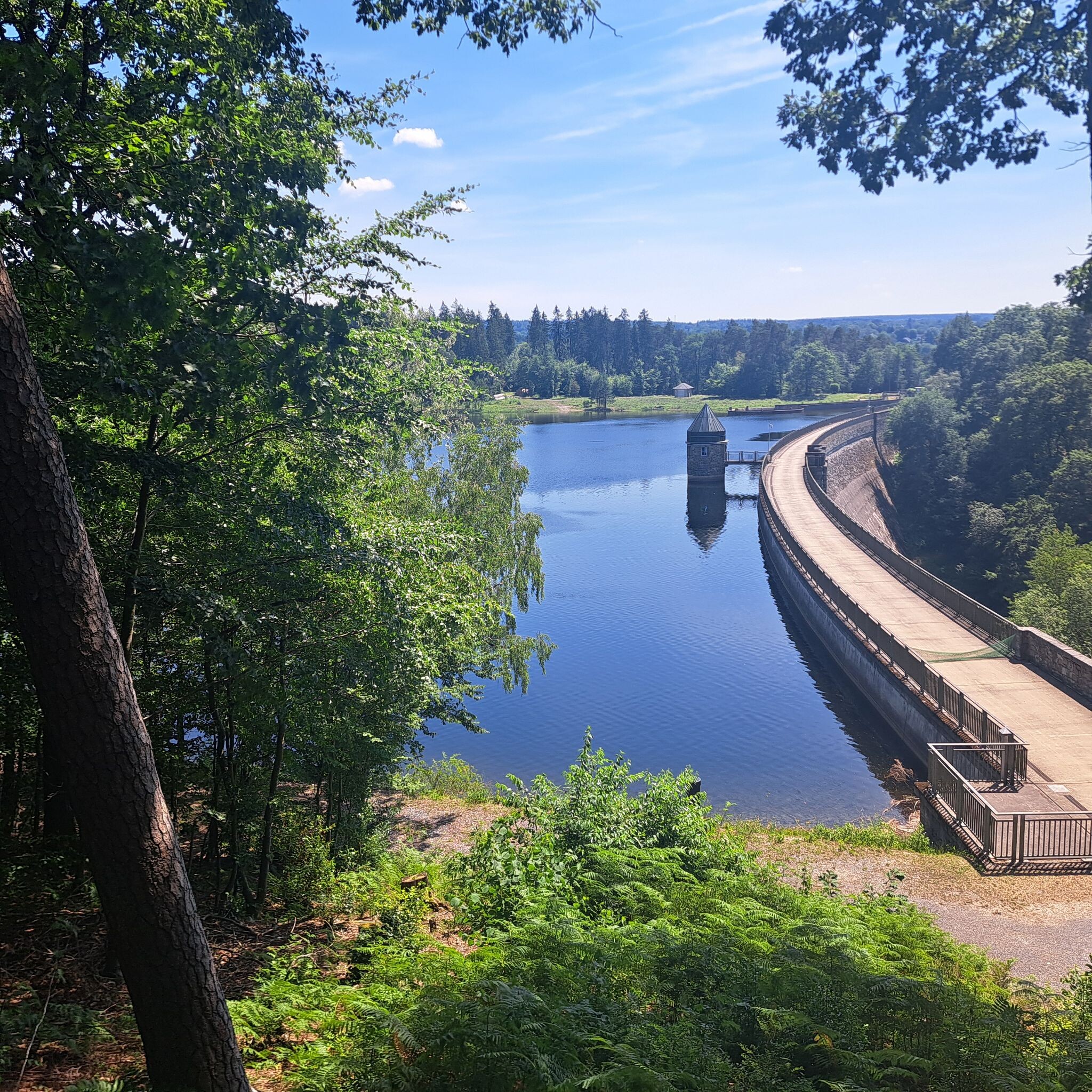

#6. Kornelimünster - Roetgen · Eifelsteig etappe 1
Aachen,Roetgen,Raeren
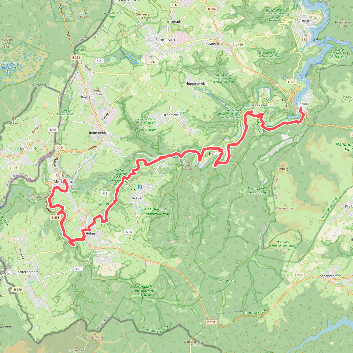
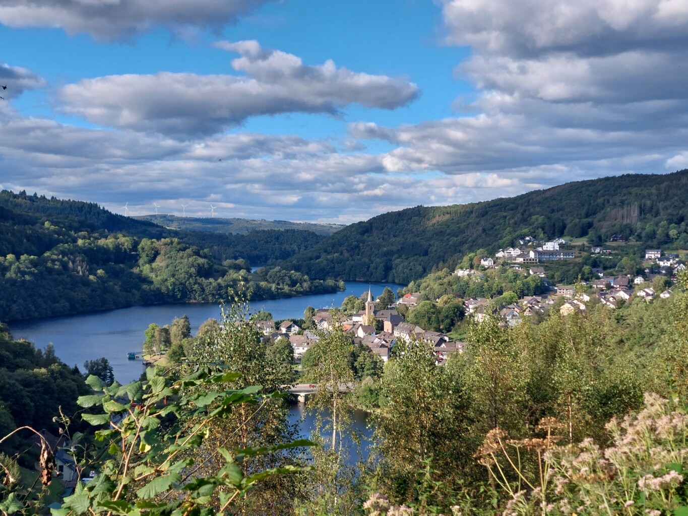
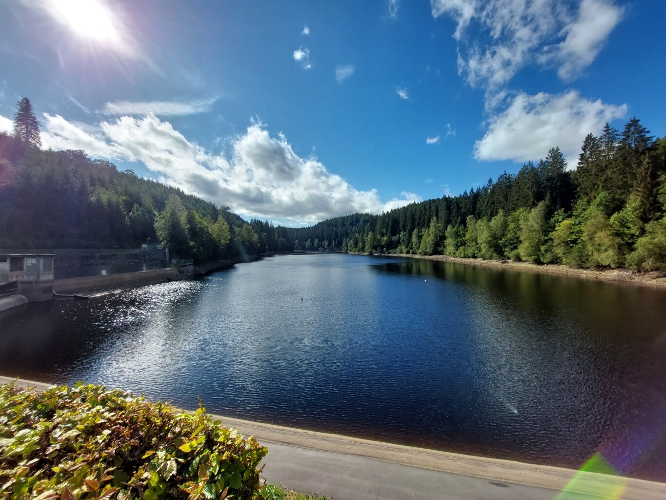
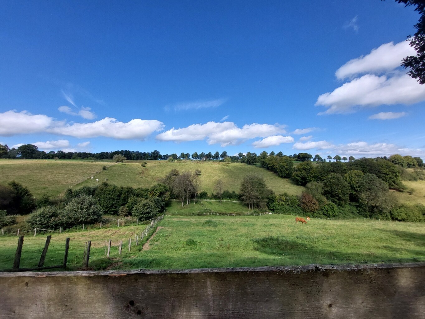
#7. Monschau - Einruhr · Eifelsteig etappe 3
Monschau,Simmerath
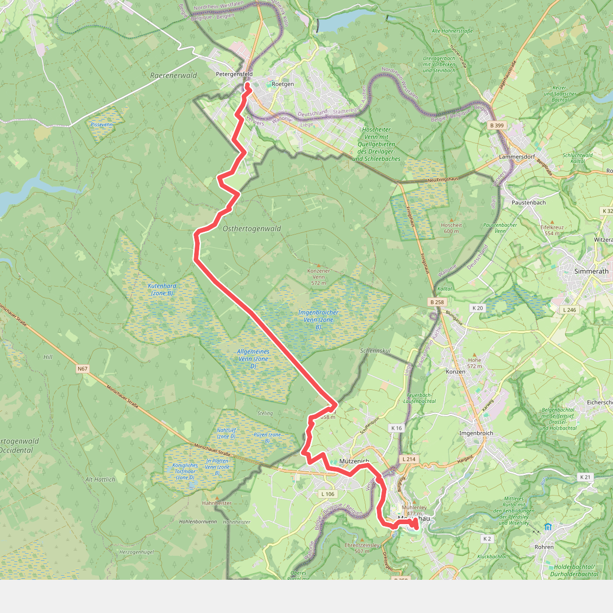
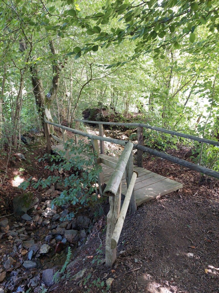
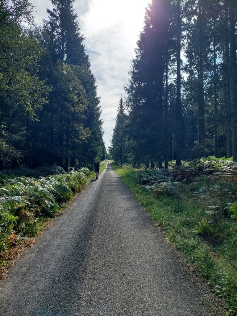
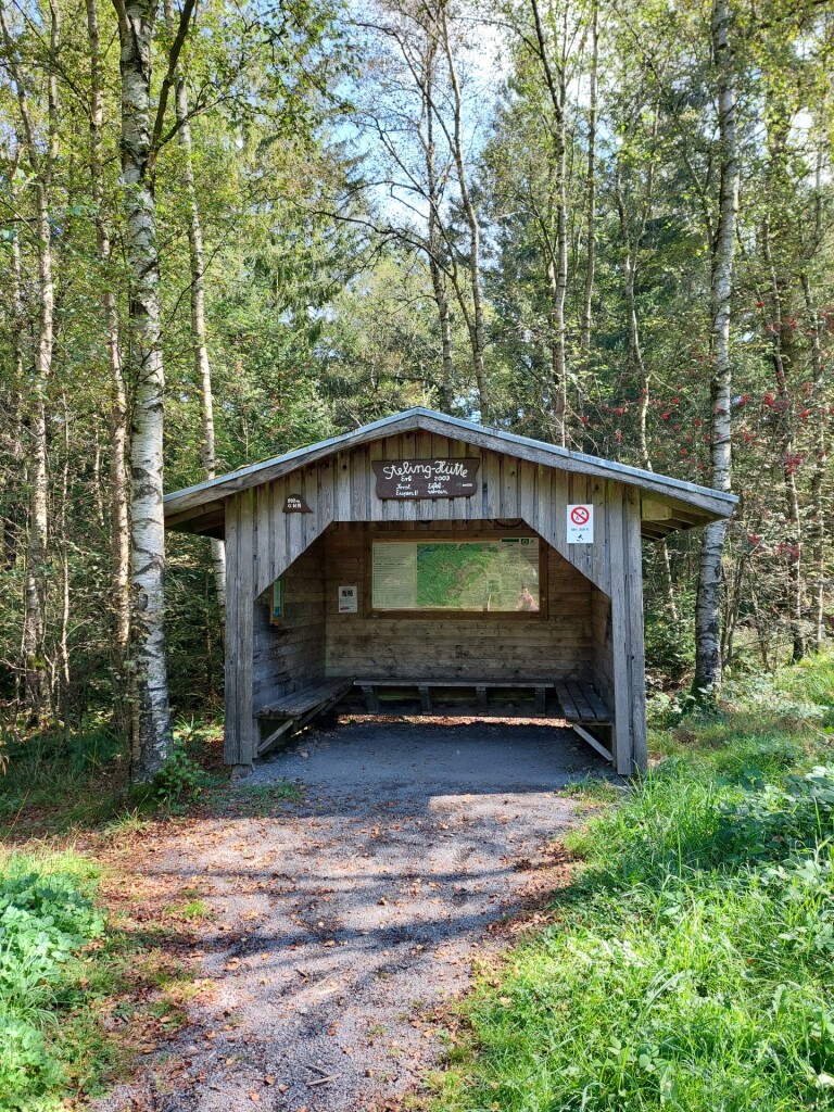
#8. Roetgen - Monschau · Eifelsteig etappe 2
Roetgen,Raeren,Eupen,Monschau
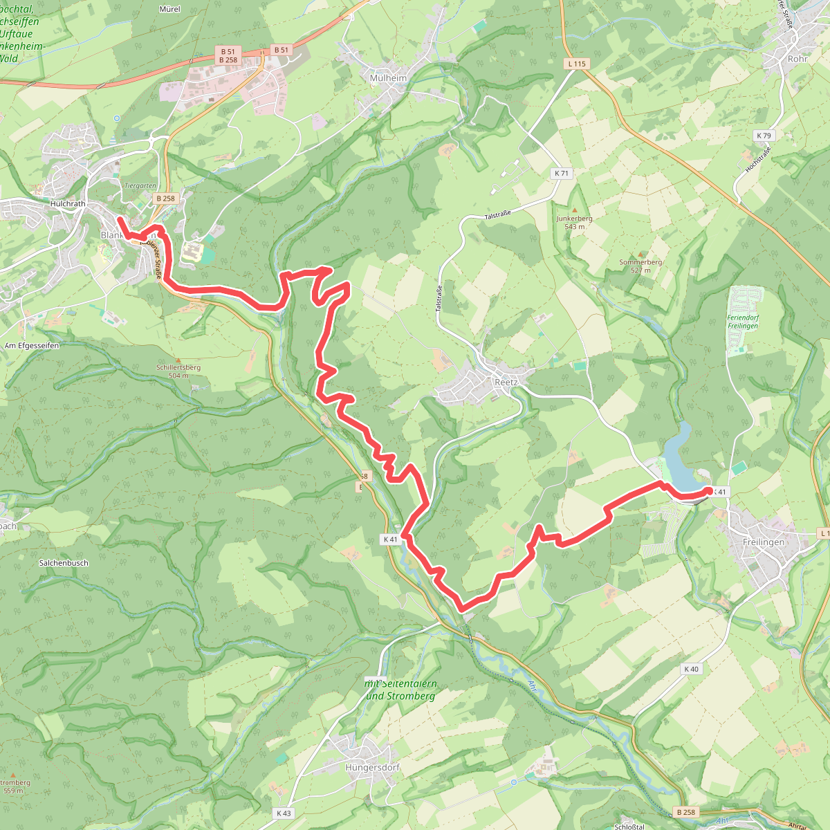
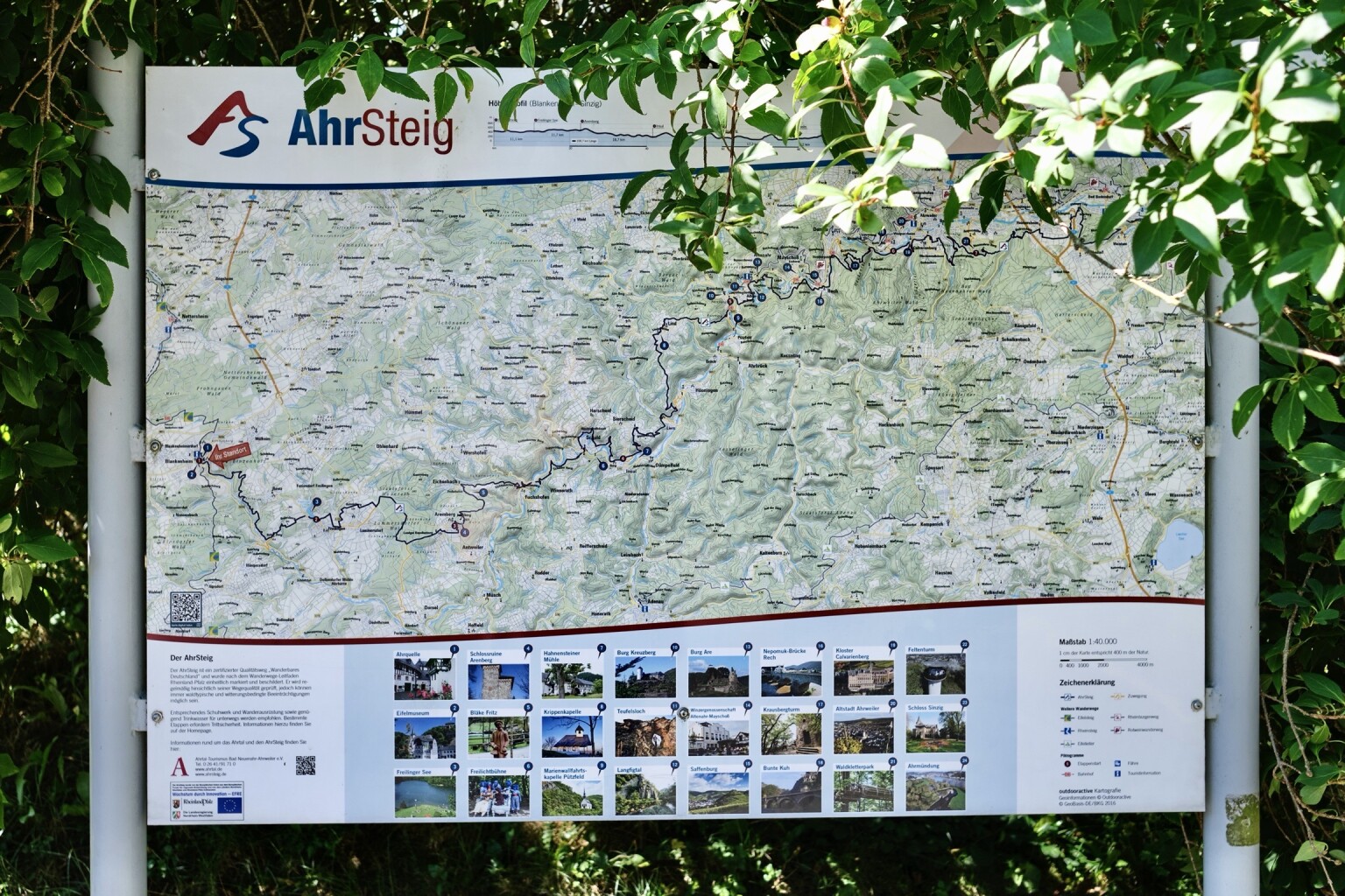
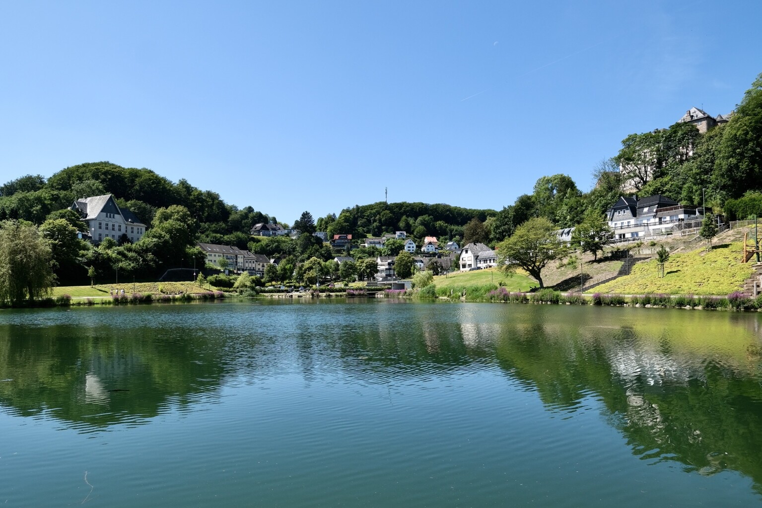
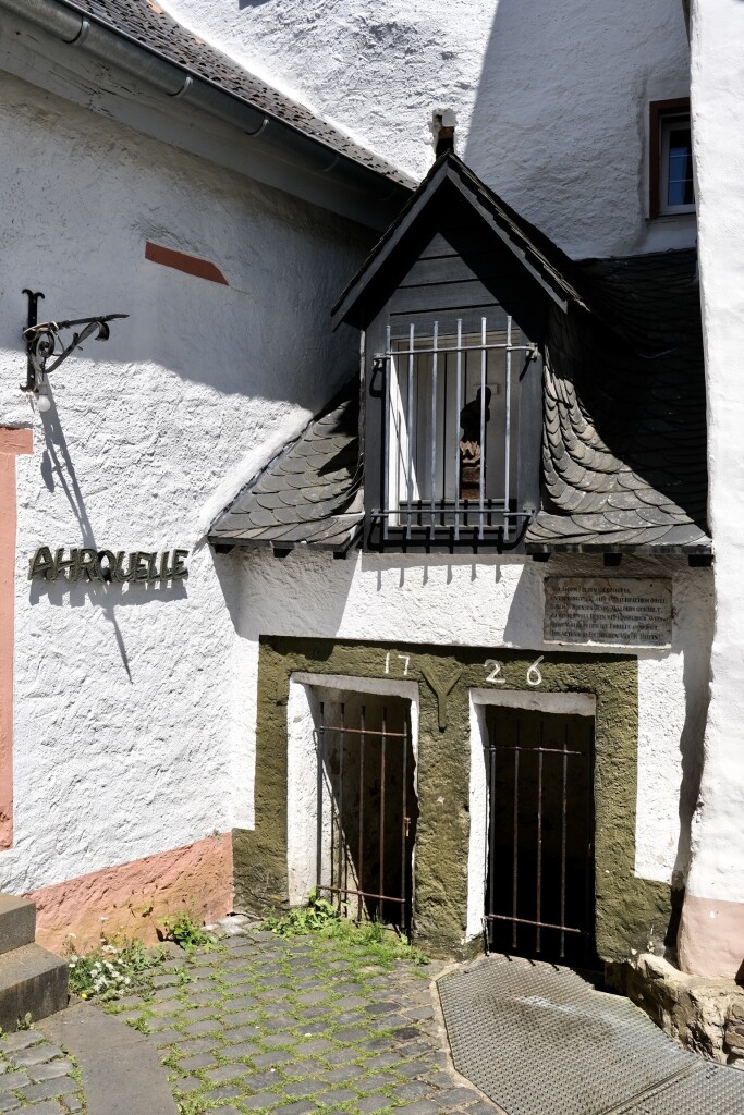
#9. Blankenheim - Freilinger See · AhrSteig etappe 1
Blankenheim
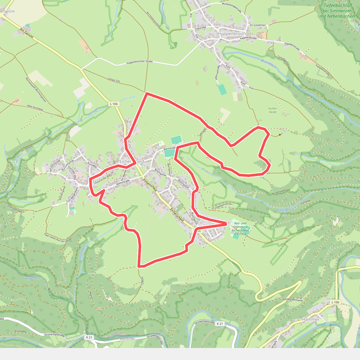
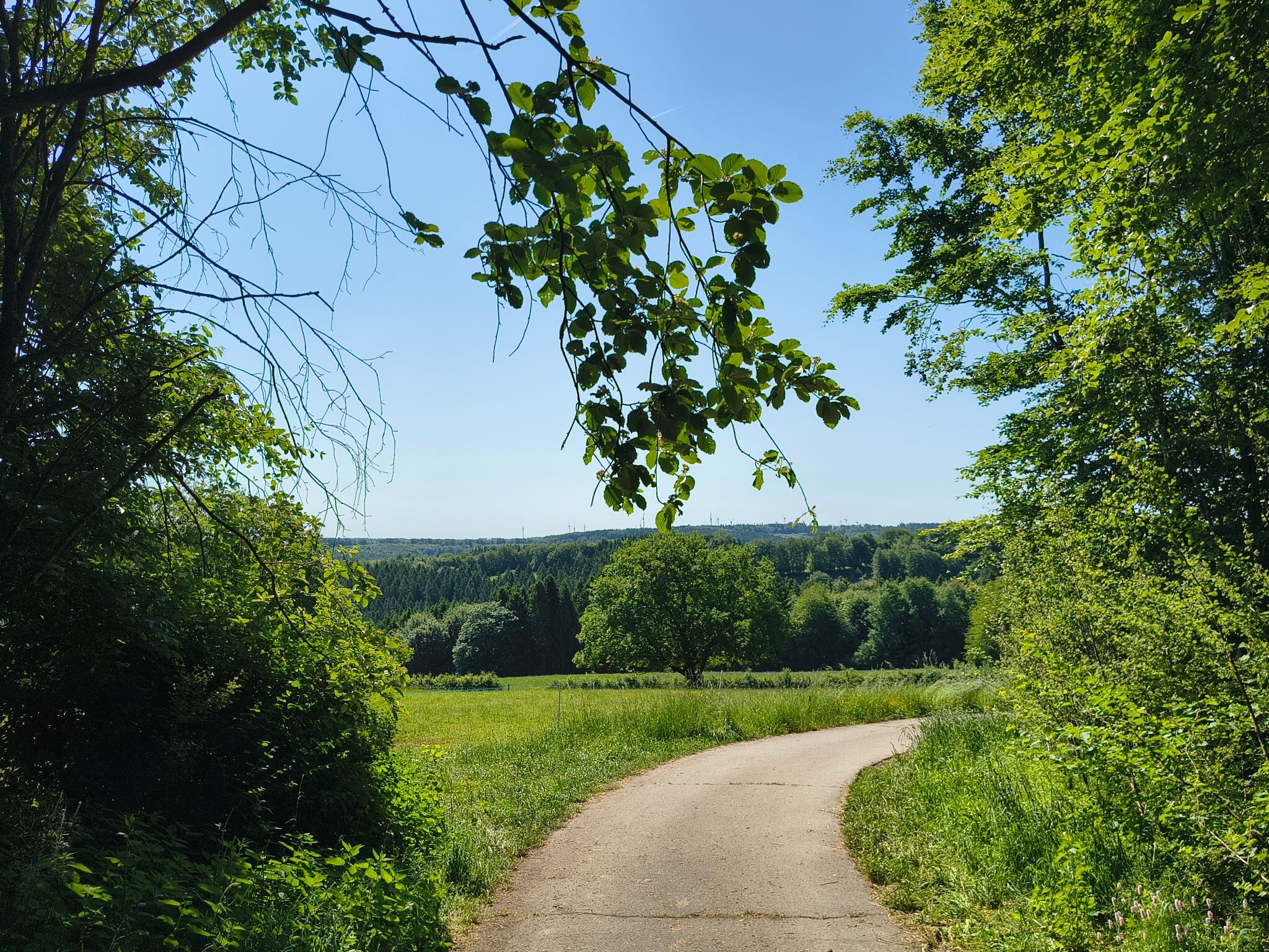
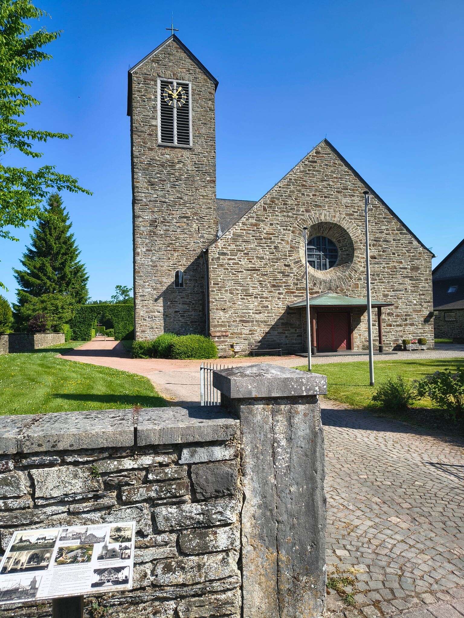
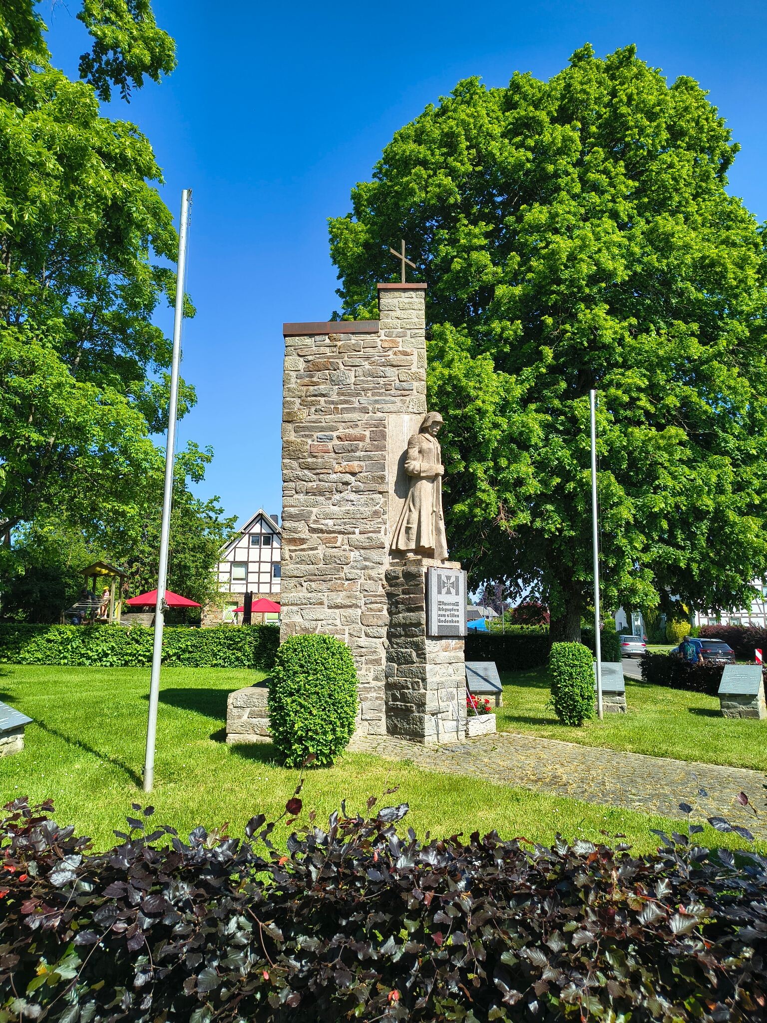
#10. Flurheckenweg Eicherscheid
Simmerath
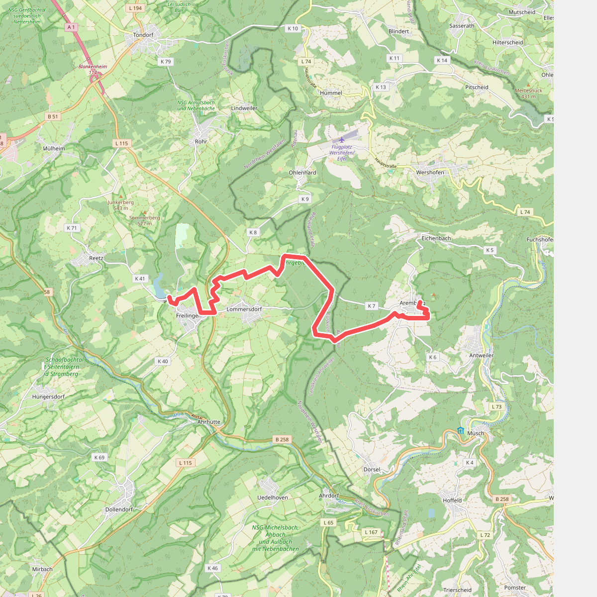
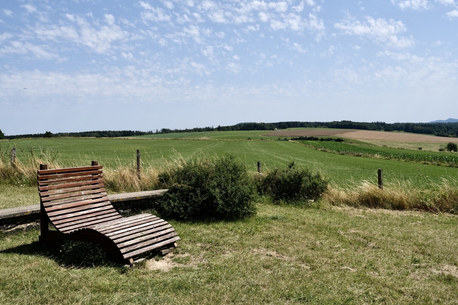
#11. Freilinger See - Aremberg · AhrSteig etappe 2
Blankenheim,Aremberg
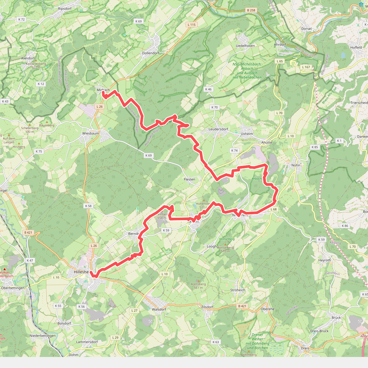
#12. Mirbach - Hillesheim · Eifelsteig etappe 8
Wiesbaum,Blankenheim,Üxheim,Nohn,Kerpen (Eifel),Berndorf,Hillesheim



