The best hiking routes in Naturpark Frankenwald
Discover the best walks in Naturpark Frankenwald. 228 routes on the map, with descriptions, photos and GPX.
About Naturpark Frankenwald
Naturpark Frankenwald is characterized by a high, undulating slate plateau cut by steep, narrow valleys. Unlike more rugged mountain ranges, the summits here are broad and flat, often cleared for agriculture, while the sharp valley sides remain densely forested with spruce. Walking here means constantly transitioning between open, windy highland fields and dark, enclosed ravine forests. The geological foundation of slate is visible everywhere, from the dark stone fragments on the paths to the traditional blue-grey slate tiles cladding the houses in the valley villages.
Read more
About Naturpark Frankenwald
Naturpark Frankenwald is characterized by a high, undulating slate plateau cut by steep, narrow valleys. Unlike more rugged mountain ranges, the summits here are broad and flat, often cleared for agriculture, while the sharp valley sides remain densely forested with spruce. Walking here means constantly transitioning between open, windy highland fields and dark, enclosed ravine forests. The geological foundation of slate is visible everywhere, from the dark stone fragments on the paths to the traditional blue-grey slate tiles cladding the houses in the valley villages.
Read moreNaturpark Frankenwald is characterized by a high, undulating slate plateau cut by steep, narrow valleys. Unlike more rugged mountain ranges, the summits here are broad and flat, often cleared for agriculture, while the sharp valley sides remain densely forested with spruce. Walking here means constantly transitioning between open, windy highland fields and dark, enclosed ravine forests. The geological foundation of slate is visible everywhere, from the dark stone fragments on the paths to the traditional blue-grey slate tiles cladding the houses in the valley villages.
Underfoot, the trails vary between soft forest soil covered in pine needles and stony, slate-strewn tracks that require stable footing. The valley bottoms often feature damp meadows where small streams run over rocky beds, meaning some paths follow narrow, grassy tracks that can be soft. You will not find dramatic cliffs or alpine peaks, but rather a dense network of quiet forest paths and rural farm tracks connecting small, isolated hamlets.
In October, the deciduous trees in the mixed valley forests turn deep yellow and red, contrasting sharply with the dark green spruce on the higher slopes. The plateau trails are generally open and exposed to the elements, while the deep valleys offer sheltered, quiet walking. The area is rarely crowded, though the popular valley paths near towns like Bad Steben see more regular foot traffic than the quiet, forested border paths along the former inner-German border.
Hiking routes in Naturpark Frankenwald (228)
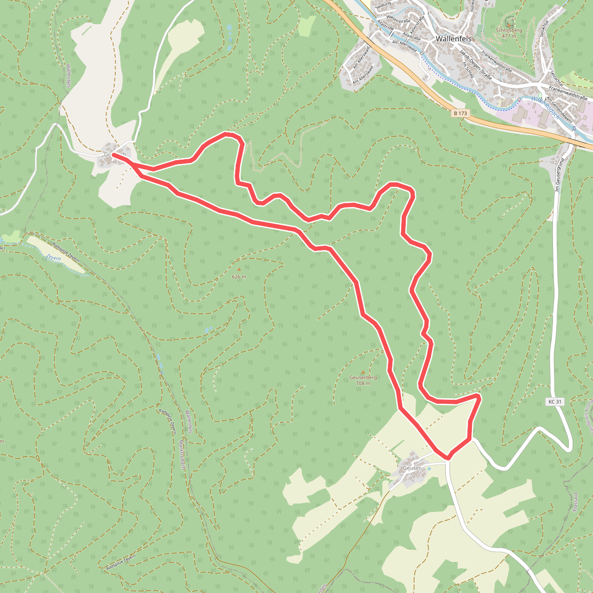
#1. Allerswald-Weg RT 14
Wallenfels
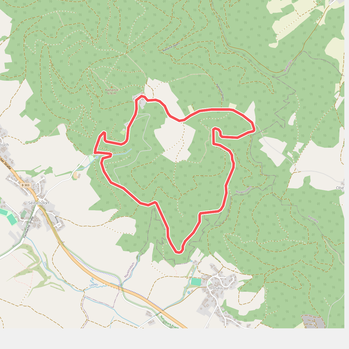
#2. Almweg
Marktrodach
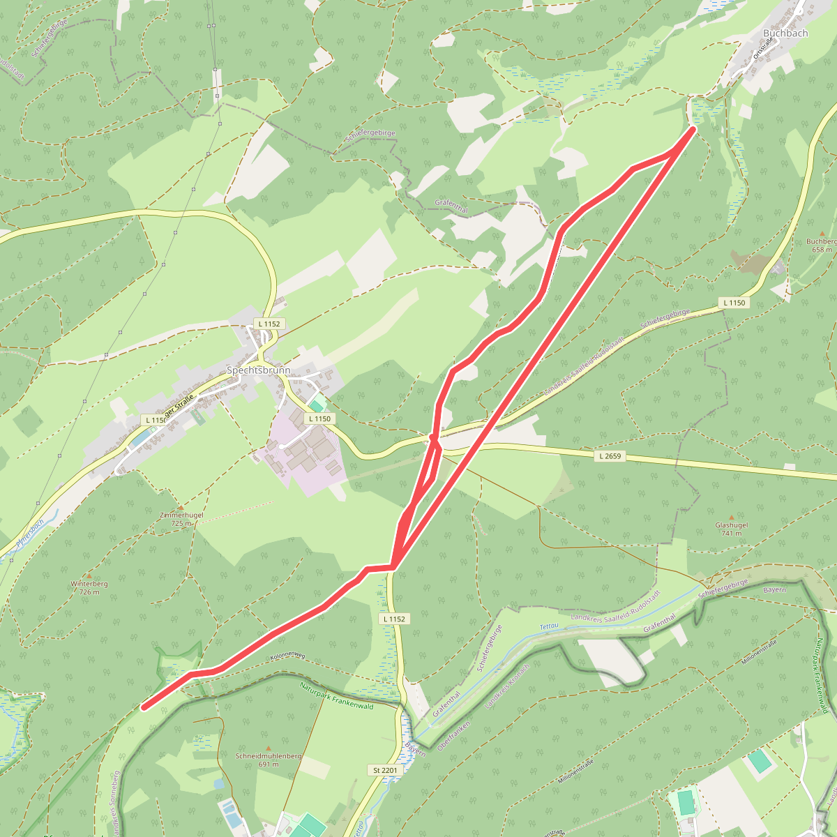
#3. Alte Heer- und Handelsstraße
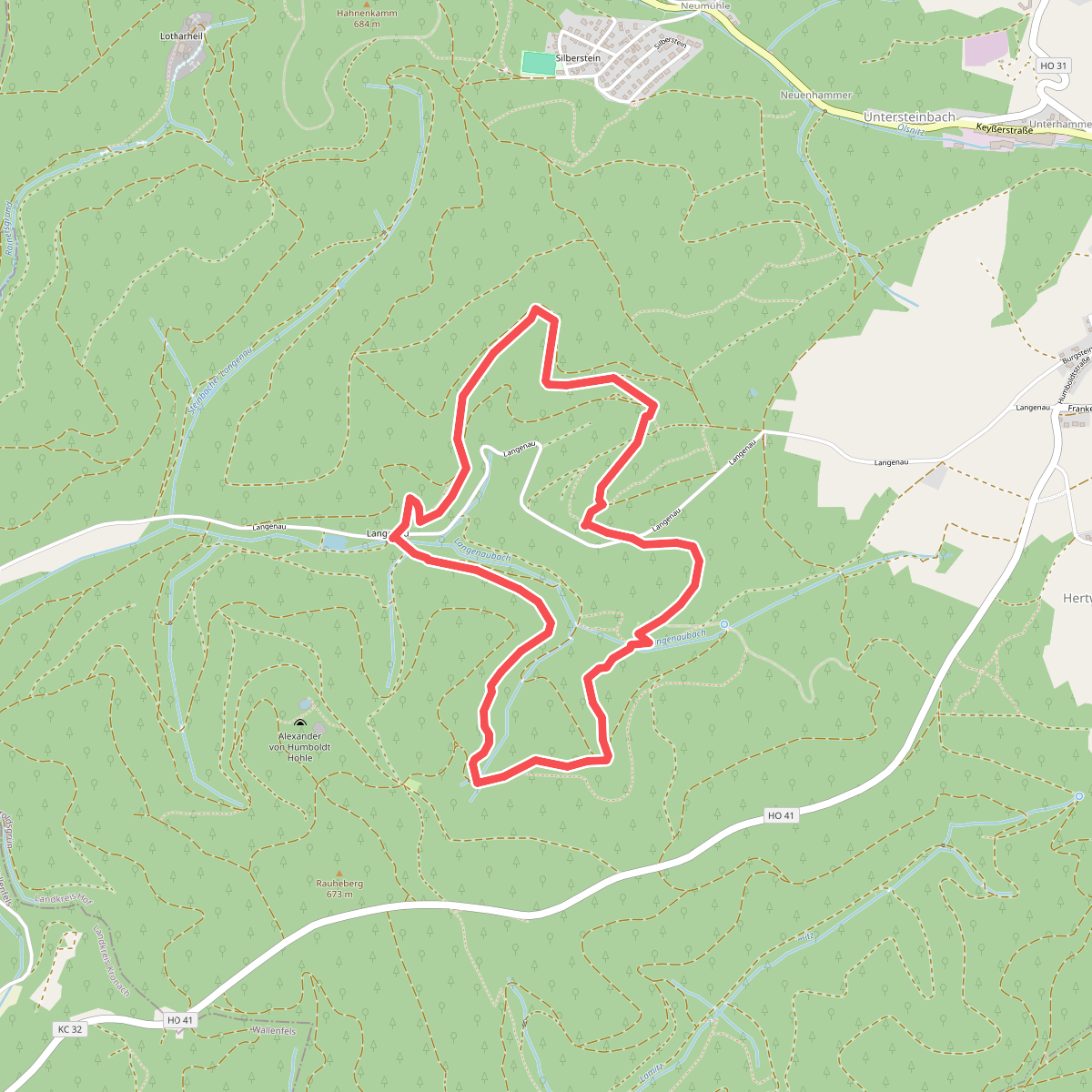
#4. Auf Jägersteigen DÖ 94
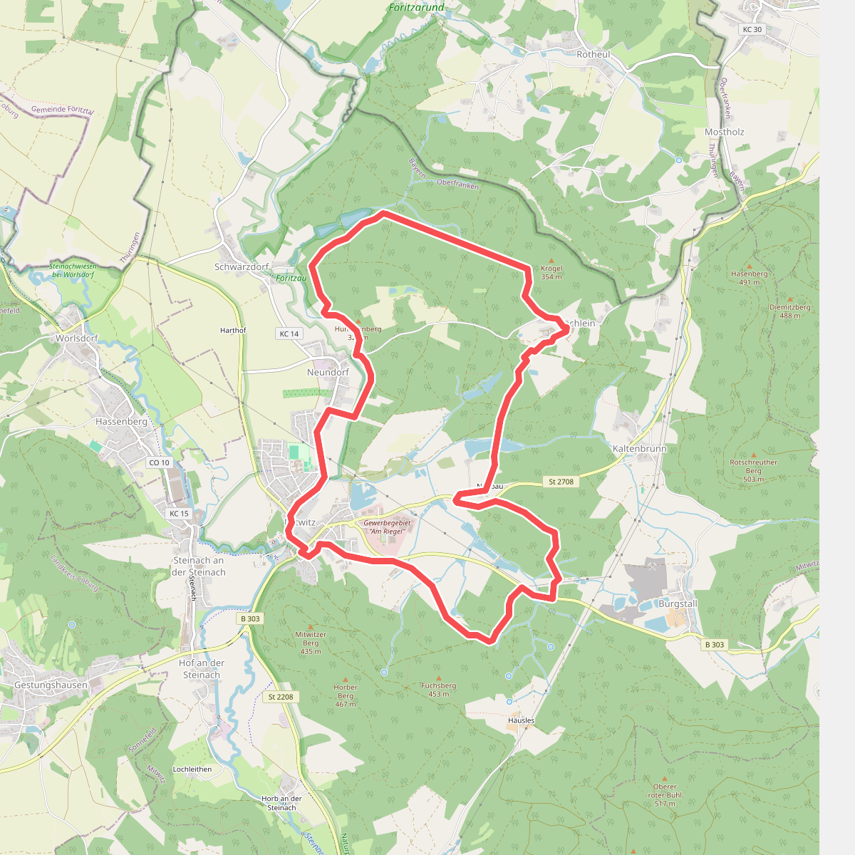
#5. Bächleiner Weg KC 33
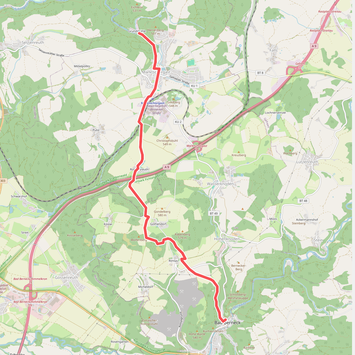
#6. Bad Berneck - Marktschorgast
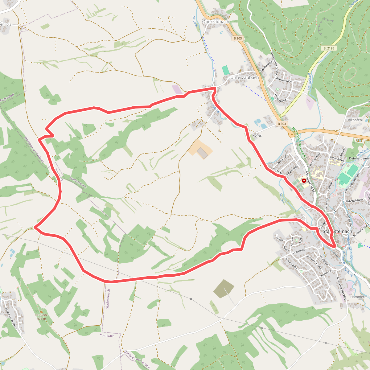
#7. Bergfeld-Weg KU 32
Stadtsteinach,Kulmbach
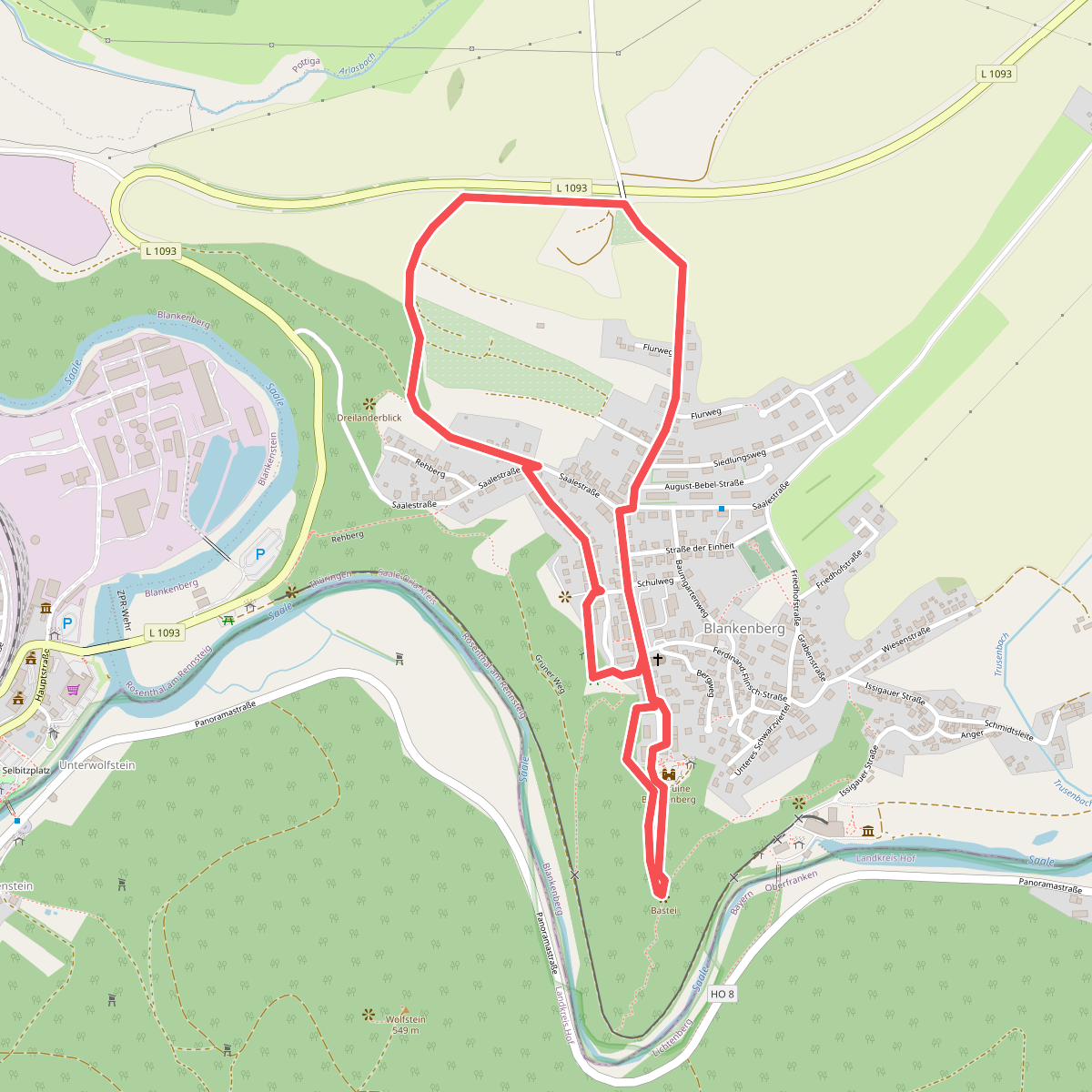
#8. Blankenberger Panoramaweg
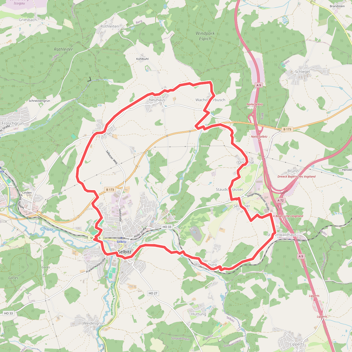
#9. Brotzeit-Weg OS 33
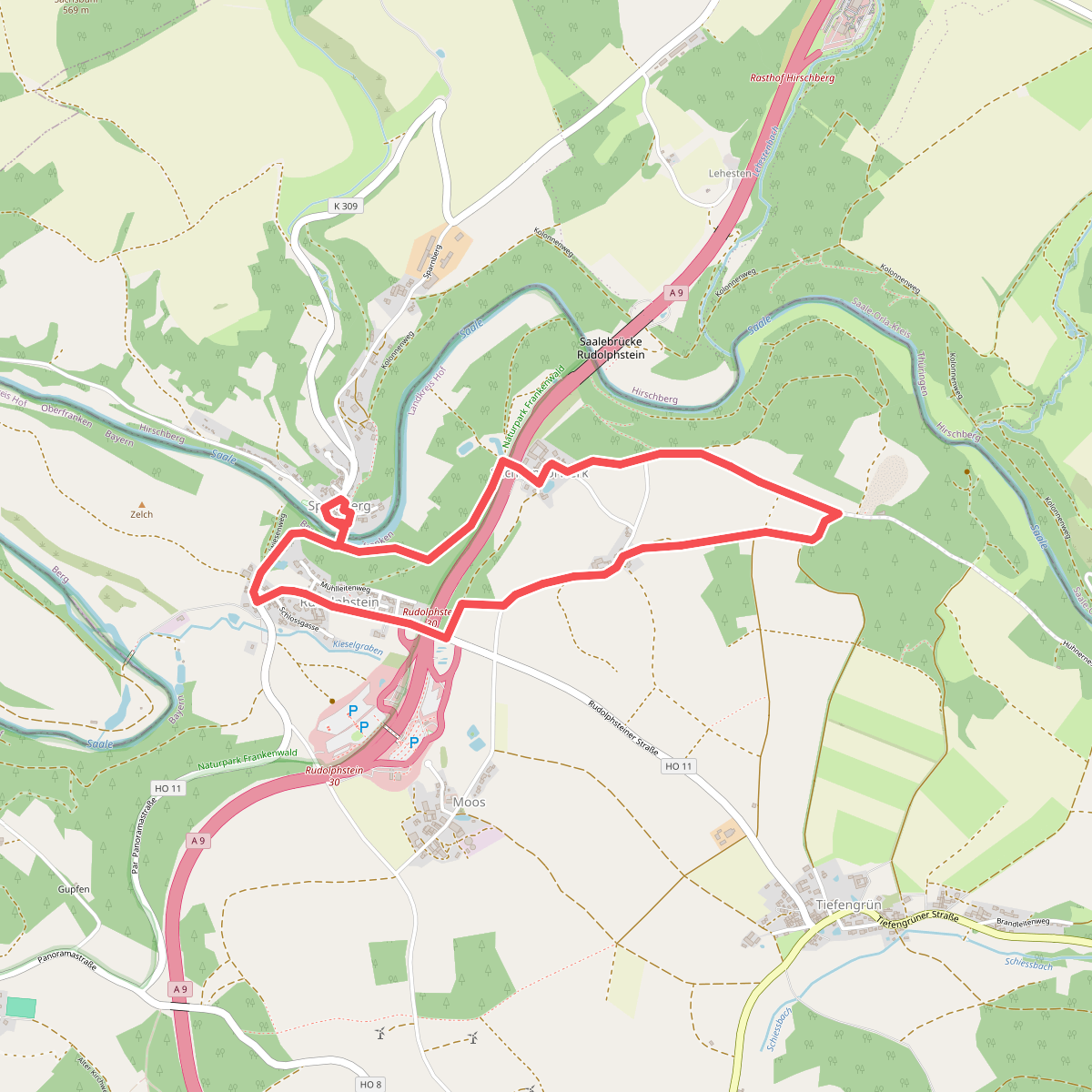
#10. Brücken-Weg US 75
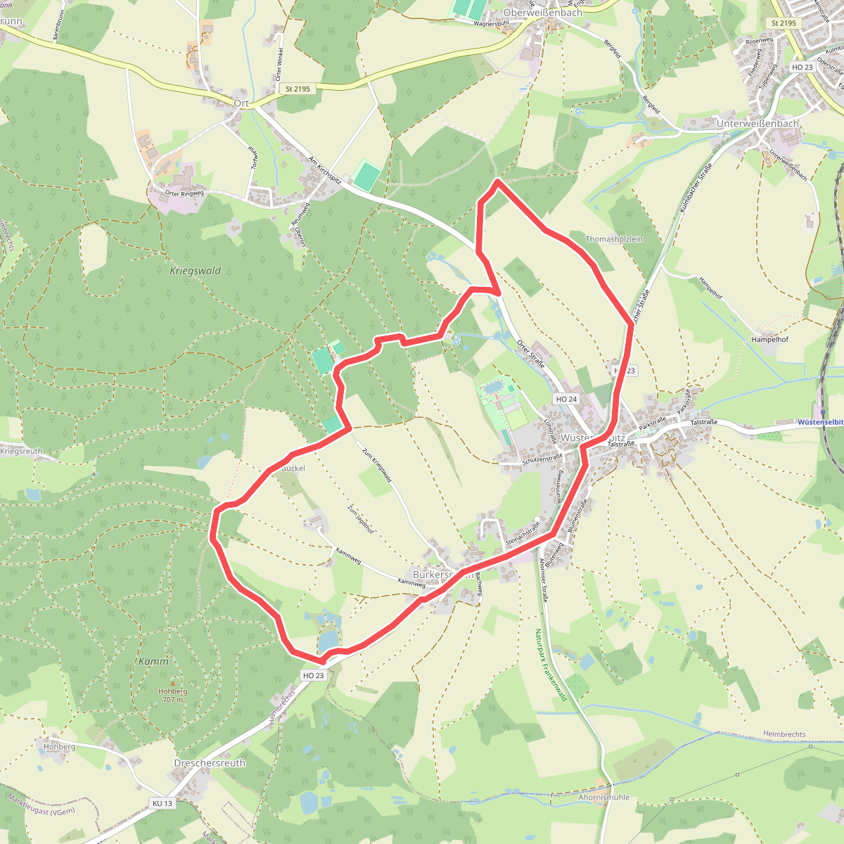
#11. Brücklasteich-Weg OS 15