

The best hiking routes in Naturpark Frankenhöhe
Discover the best walks in Naturpark Frankenhöhe. 102 routes on the map, with descriptions, photos and GPX.
About Naturpark Frankenhöhe
Naturpark Frankenhöhe is a gently rolling upland area in western Bavaria, characterized by a mosaic of dry, sunny slopes, mixed deciduous forests, and wide, shallow river valleys. Unlike the steep, rocky terrain of the nearby Alps or the dense, continuous forests of other German low mountain ranges, this landscape is defined by its open, agricultural character. You will walk primarily through a mixture of managed woodlots, orchards, and sheep-grazed limestone pastures, rather than deep wilderness.
Read more
About Naturpark Frankenhöhe
Naturpark Frankenhöhe is a gently rolling upland area in western Bavaria, characterized by a mosaic of dry, sunny slopes, mixed deciduous forests, and wide, shallow river valleys. Unlike the steep, rocky terrain of the nearby Alps or the dense, continuous forests of other German low mountain ranges, this landscape is defined by its open, agricultural character. You will walk primarily through a mixture of managed woodlots, orchards, and sheep-grazed limestone pastures, rather than deep wilderness.
Read moreNaturpark Frankenhöhe is a gently rolling upland area in western Bavaria, characterized by a mosaic of dry, sunny slopes, mixed deciduous forests, and wide, shallow river valleys. Unlike the steep, rocky terrain of the nearby Alps or the dense, continuous forests of other German low mountain ranges, this landscape is defined by its open, agricultural character. You will walk primarily through a mixture of managed woodlots, orchards, and sheep-grazed limestone pastures, rather than deep wilderness.
Underfoot, the paths are mostly firm dirt tracks, gravel forestry roads, and grassy trails that follow the contours of the hills. The underlying geology of clay and sandstone means that the ground can feel heavy and sticky underfoot after wet weather, particularly on the agricultural tracks, while the limestone ridges remain relatively dry and stony. The transition between these soil types is visible in the vegetation, shifting quickly from damp meadow wildflowers to dry-loving herbs and juniper bushes on the sunny slopes.
Because the area lacks dramatic peaks or deep gorges, the walking here is moderate and steady, relying on subtle changes in elevation. The most distinctive features are the traditional meadow orchards, known as Streuobstwiesen, which are particularly prominent with white blossoms in May, and the dry grasslands shaped by centuries of migratory sheep farming. It is a working rural landscape where quiet, everyday farming activities are always within sight and sound.
Hiking routes in Naturpark Frankenhöhe (102)
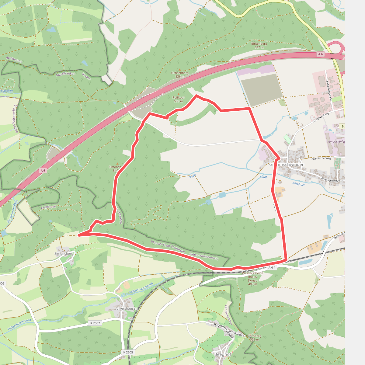
#1. Ahornweg Schnelldorf
Satteldorf,Schnelldorf
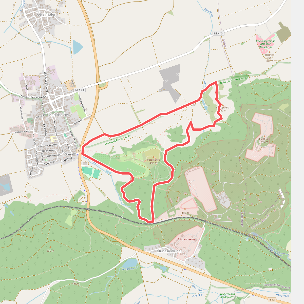
#2. Ameise
Marktbergel
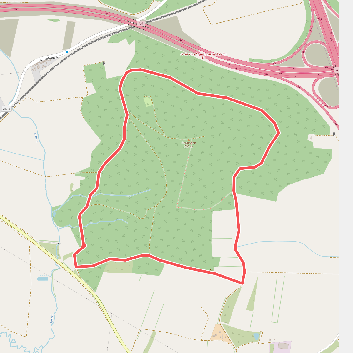
#3. Ameisenweg Schnelldorf
Schnelldorf
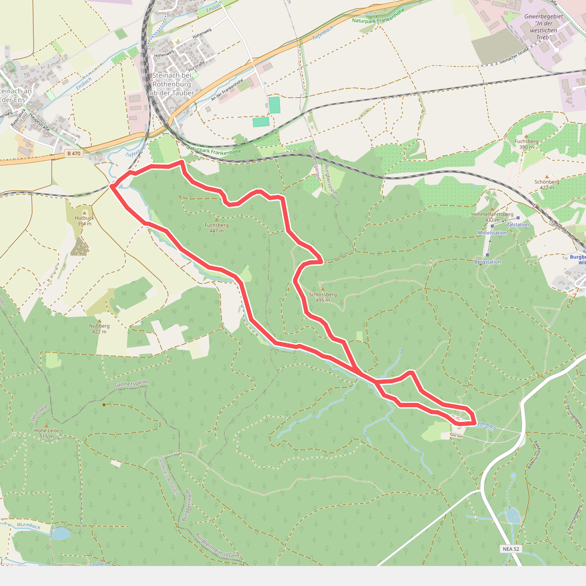
#4. Bachstelze
Burgbernheim,Gallmersgarten
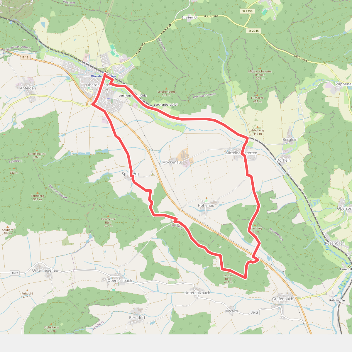
#5. Bachstelze
Oberdachstetten,Lehrberg
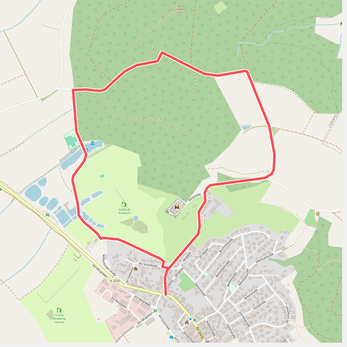
#6. Bergahorn
Colmberg
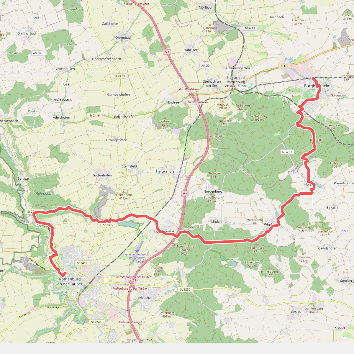
#7. Blaukreuz
Burgbernheim,Windelsbach,Neusitz,Rothenburg ob der Tauber
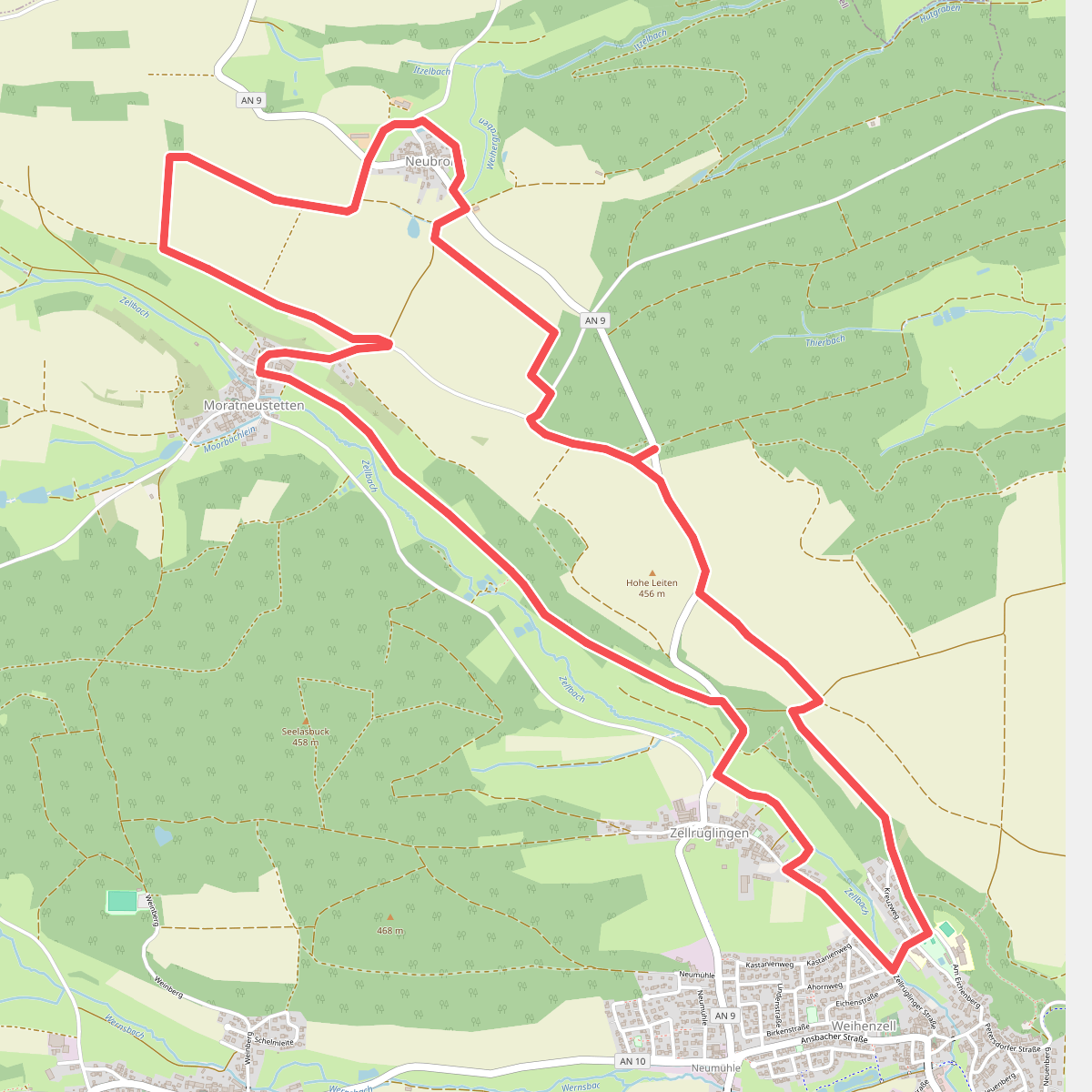
#8. Buntspecht
Weihenzell
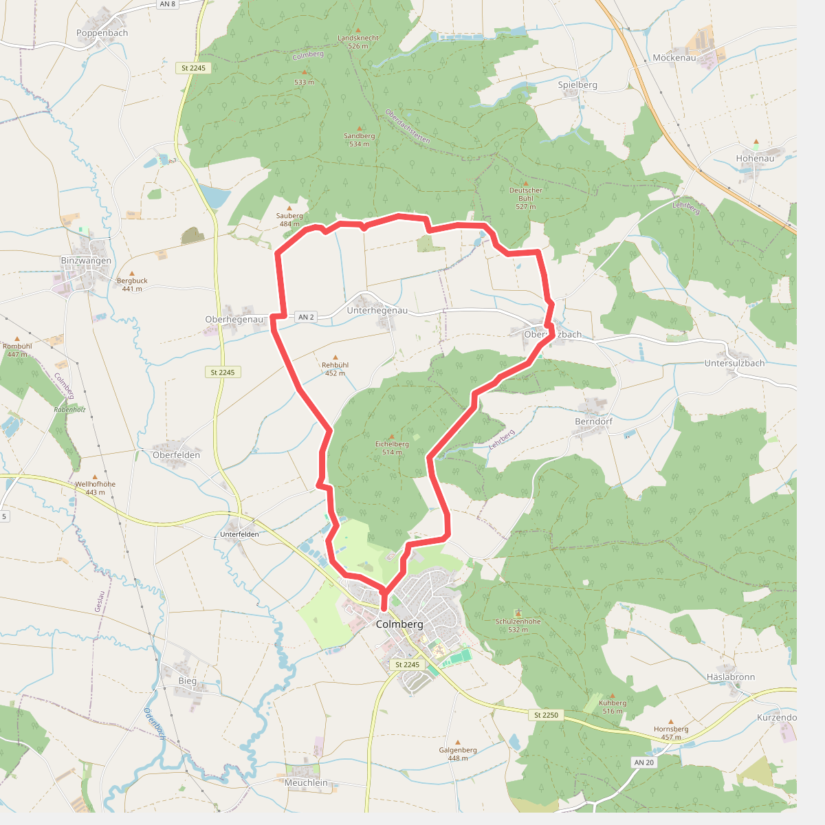
#9. Buntspecht
Colmberg,Lehrberg
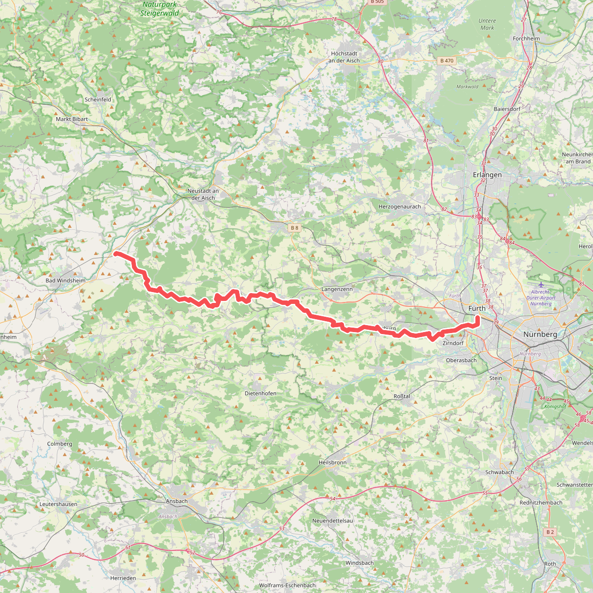
#10. Burggrafenweg
Ipsheim,Markt Erlbach,Trautskirchen,Wilhermsdorf,Langenzenn,Cadolzburg,Zirndorf,Fürth
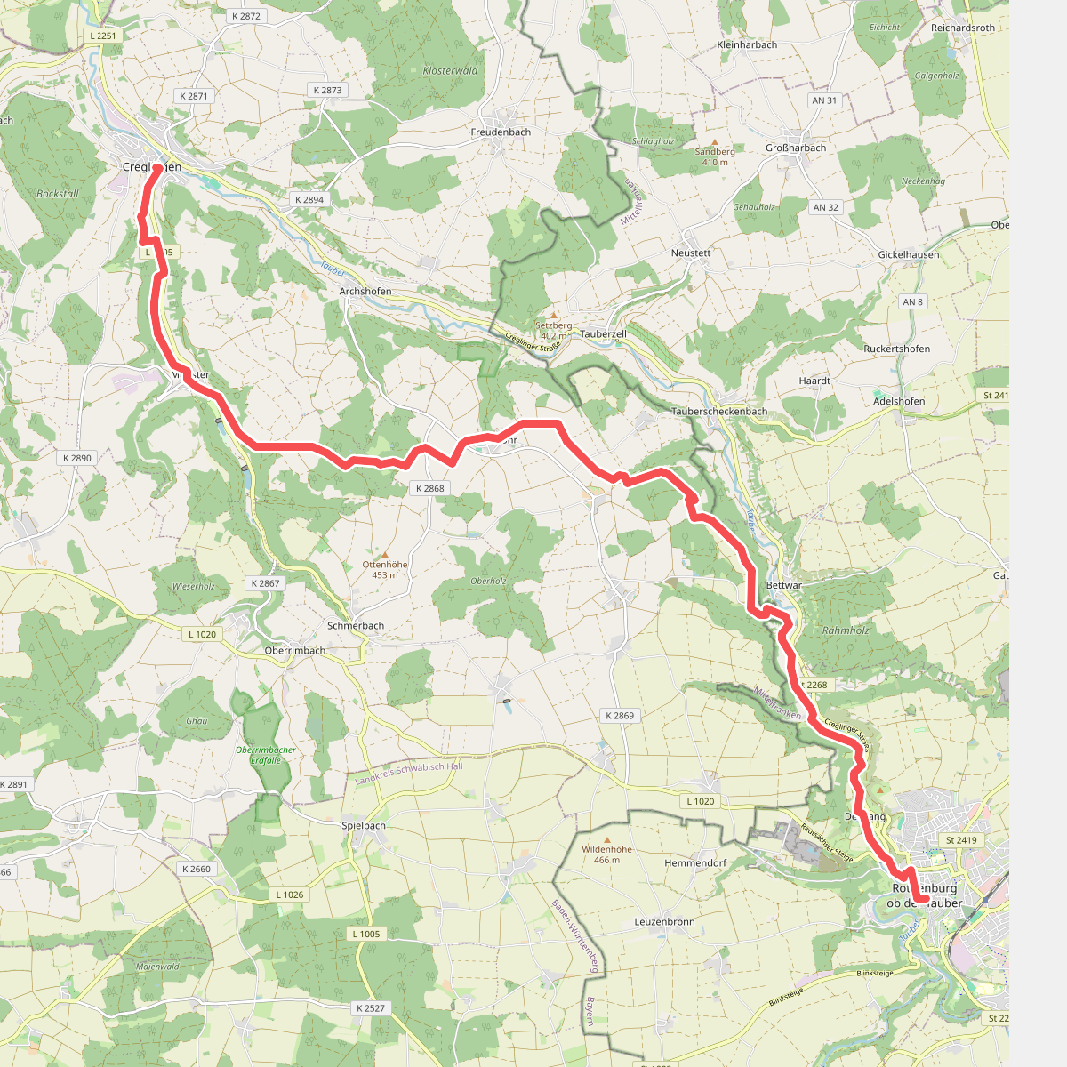
#11. Creglingen - Rothenburg ob der Tauber
Creglingen,Steinsfeld,Rothenburg ob der Tauber
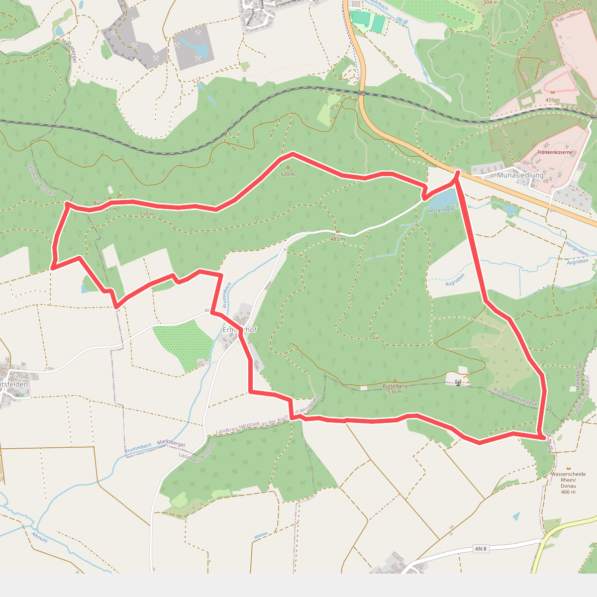
#12. Dachs
Marktbergel,Colmberg,Windelsbach



