

The best hiking routes in Naturpark Fichtelgebirge
Discover the best walks in Naturpark Fichtelgebirge. 299 routes on the map, with descriptions, photos and GPX.
About Naturpark Fichtelgebirge
Naturpark Fichtelgebirge is a horseshoe-shaped upland region in northeastern Bavaria characterized by dense spruce forests, dark granite outcrops, and high-altitude peat bogs. Unlike the limestone cliffs of the nearby Franconian Jura, this landscape is defined by rounded, forested ridges and massive, weathered granite blocks known as Wollsackverwitterung. Walkers will notice these stacked, pillow-like rock formations scattered among the trees, particularly around the summits of Schneeberg and Ochsenkopf. The terrain is generally high and undulating rather than steeply alpine, offering steady climbs through working timber forests rather than dramatic, jagged drop-offs.
Read more
About Naturpark Fichtelgebirge
Naturpark Fichtelgebirge is a horseshoe-shaped upland region in northeastern Bavaria characterized by dense spruce forests, dark granite outcrops, and high-altitude peat bogs. Unlike the limestone cliffs of the nearby Franconian Jura, this landscape is defined by rounded, forested ridges and massive, weathered granite blocks known as Wollsackverwitterung. Walkers will notice these stacked, pillow-like rock formations scattered among the trees, particularly around the summits of Schneeberg and Ochsenkopf. The terrain is generally high and undulating rather than steeply alpine, offering steady climbs through working timber forests rather than dramatic, jagged drop-offs.
Read moreNaturpark Fichtelgebirge is a horseshoe-shaped upland region in northeastern Bavaria characterized by dense spruce forests, dark granite outcrops, and high-altitude peat bogs. Unlike the limestone cliffs of the nearby Franconian Jura, this landscape is defined by rounded, forested ridges and massive, weathered granite blocks known as Wollsackverwitterung. Walkers will notice these stacked, pillow-like rock formations scattered among the trees, particularly around the summits of Schneeberg and Ochsenkopf. The terrain is generally high and undulating rather than steeply alpine, offering steady climbs through working timber forests rather than dramatic, jagged drop-offs.
Underfoot, the paths vary from wide, gravel forestry tracks to narrow, root-choked trails and damp boardwalks. The high moors, such as the Zeitelmoos, feature wet, peat-rich soils where wooden planks protect the fragile mosses and cotton grass. In these wetter sections, the vegetation shifts from tall spruce to stunted pines and blueberry bushes. Because of the granite bedrock, water does not drain easily, creating numerous small mountain streams and dark, acidic pools that run alongside the trail network.
In October, the deciduous trees on the lower slopes, particularly beech, turn deep yellow and orange, contrasting sharply with the dark green of the high-altitude conifers. The most popular summit trails and the rock labyrinth at Luisenburg attract regular foot traffic, while the deeper forest tracks in the inner horseshoe remain quiet. Walkers should expect steady, moderate exertion on rocky ground rather than sheer climbs, with the landscape offering a consistent pattern of dense woodland, mossy boulders, and open peat clearings.
Hiking routes in Naturpark Fichtelgebirge (299)
![2 [Selb]](https://wandelweb.fsn1.your-objectstorage.com/tracks/static-maps/35981-1779134452-large.png)
#1. 2 [Selb]
Selb
![3 [Selb]](https://wandelweb.fsn1.your-objectstorage.com/tracks/static-maps/35982-1779134453-large.png)
#2. 3 [Selb]
Selb
![5 [Selb]](https://wandelweb.fsn1.your-objectstorage.com/tracks/static-maps/35983-1779134459-large.png)
#3. 5 [Selb]
Selb
![7 [Selb]](https://wandelweb.fsn1.your-objectstorage.com/tracks/static-maps/35984-1779134454-large.png)
#4. 7 [Selb]
Selb
![9 [Selb]](https://wandelweb.fsn1.your-objectstorage.com/tracks/static-maps/35985-1779134452-large.png)
#5. 9 [Selb]
Selb
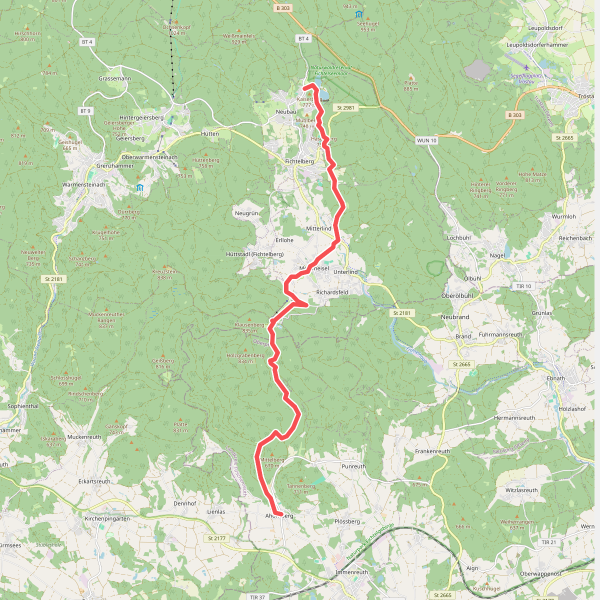
#6. Ahornberg-Fichtelberg (Fichtelseesteig)
Immenreuth,Mehlmeisel,Fichtelberg
![Arzberg [1] Wanderlehrpfad](https://wandelweb.fsn1.your-objectstorage.com/tracks/static-maps/35957-1779134443-large.png)
#7. Arzberg [1] Wanderlehrpfad
Arzberg
![Arzberg [2] Preußenweg](https://wandelweb.fsn1.your-objectstorage.com/tracks/static-maps/35958-1779134440-large.png)
#8. Arzberg [2] Preußenweg
Arzberg
![Arzberg [3] Diebsteig](https://wandelweb.fsn1.your-objectstorage.com/tracks/static-maps/35959-1779134445-large.png)
#9. Arzberg [3] Diebsteig
Arzberg
![Arzberg [4] Siebenlindenweg](https://wandelweb.fsn1.your-objectstorage.com/tracks/static-maps/35960-1779134441-large.png)
#10. Arzberg [4] Siebenlindenweg
Arzberg
![Arzberg [5] Museumsweg](https://wandelweb.fsn1.your-objectstorage.com/tracks/static-maps/35961-1779134442-large.png)
#11. Arzberg [5] Museumsweg
Arzberg
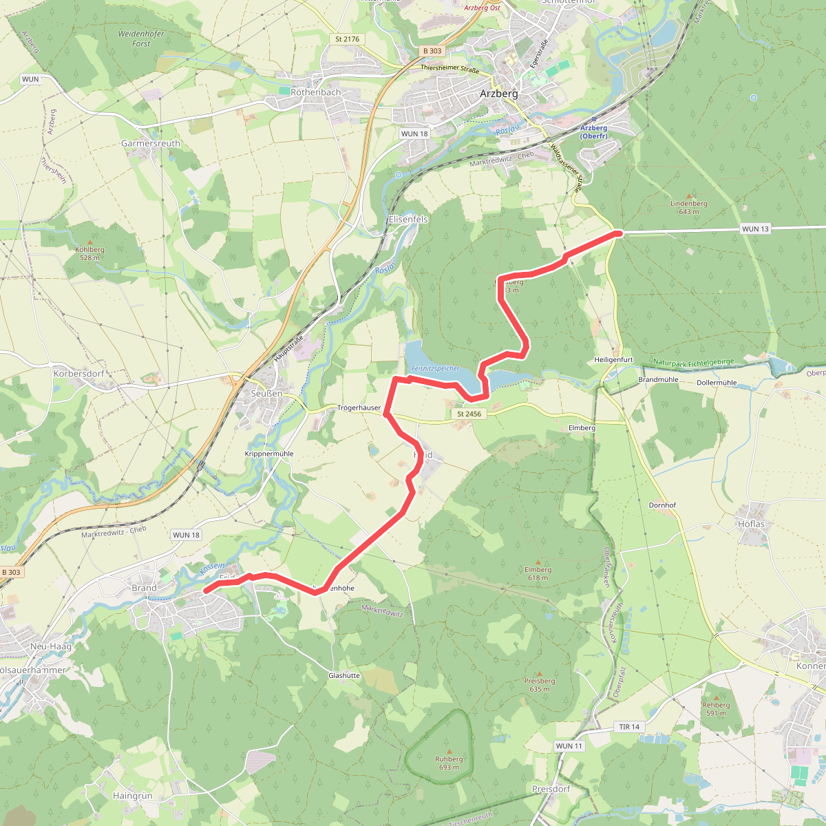
#12. Arzberg - Brand
Marktredwitz,Arzberg



