

The best hiking routes in Naturpark Bergisches Land
Discover the best walks in Naturpark Bergisches Land. 569 routes on the map, with descriptions, photos and GPX.
About Naturpark Bergisches Land
Naturpark Bergisches Land is characterized by its heavily dissected plateau landscape, where high annual rainfall feeds a dense network of narrow valleys, reservoirs, and small streams. Unlike flatter plains or high alpine regions, this area consists of a constant succession of steep, wooded ridges and green, damp valley bottoms. Walkers will notice how the underlying Devonian slate and greywacke sandstone shape the terrain, often showing through as stony fragments on the forest tracks or forming small rocky outcrops along the slopes.
Read more
About Naturpark Bergisches Land
Naturpark Bergisches Land is characterized by its heavily dissected plateau landscape, where high annual rainfall feeds a dense network of narrow valleys, reservoirs, and small streams. Unlike flatter plains or high alpine regions, this area consists of a constant succession of steep, wooded ridges and green, damp valley bottoms. Walkers will notice how the underlying Devonian slate and greywacke sandstone shape the terrain, often showing through as stony fragments on the forest tracks or forming small rocky outcrops along the slopes.
Read moreNaturpark Bergisches Land is characterized by its heavily dissected plateau landscape, where high annual rainfall feeds a dense network of narrow valleys, reservoirs, and small streams. Unlike flatter plains or high alpine regions, this area consists of a constant succession of steep, wooded ridges and green, damp valley bottoms. Walkers will notice how the underlying Devonian slate and greywacke sandstone shape the terrain, often showing through as stony fragments on the forest tracks or forming small rocky outcrops along the slopes.
Underfoot, the paths vary from wide, gravelled forestry tracks on the ridges to narrow, dirt paths that can become soft and muddy in the valleys, particularly near the numerous reservoirs like the Dhünntalsperre. Deciduous forests of beech and oak dominate the slopes, interspersed with spruce plantations that are currently undergoing a visible transition back to mixed woodland. In the valleys, the path often follows small, fast-flowing brooks through damp meadows and past old watermills, reflecting the historical reliance on water power for early local industries.
This landscape does not offer dramatic, rocky peaks or deep gorges, but rather a dense, undulating pattern of hills and valleys. The views are typically framed by treelines, opening up occasionally over wide, grassy ridges or the quiet surfaces of the drinking water reservoirs. Because of the complex topography, walks here involve frequent, short climbs and descents rather than long, sustained altitude gains, making it a terrain where sturdy footwear is useful for navigating damp valley paths and stony forest tracks.
Hiking routes in Naturpark Bergisches Land (569)
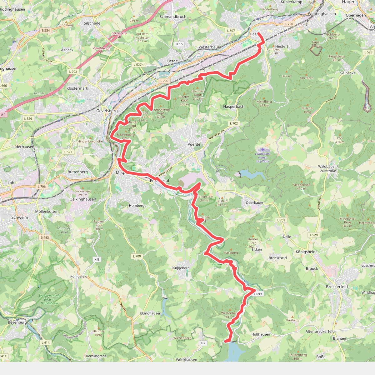
#1. <1> Hagen-Haspe - Ennepetalsperre
Hagen,Gevelsberg,Ennepetal,Breckerfeld
![[12] Wacholderweg Eckenhagen](https://wandelweb.fsn1.your-objectstorage.com/tracks/static-maps/33876-1779133063-large.png)
#2. [12] Wacholderweg Eckenhagen
Reichshof
![[▶14] Königsforst-Thielenbruch](https://wandelweb.fsn1.your-objectstorage.com/tracks/static-maps/32472-1779131648-large.png)
#3. [▶14] Königsforst-Thielenbruch
Köln,Bergisch Gladbach
![[▶15] Wanderweg 15 des KEV](https://wandelweb.fsn1.your-objectstorage.com/tracks/static-maps/33402-1779132490-large.png)
#4. [▶15] Wanderweg 15 des KEV
Köln,Bergisch Gladbach,Leverkusen
![[16] Wanderweg 16 des KEV](https://wandelweb.fsn1.your-objectstorage.com/tracks/static-maps/33406-1779132499-large.png)
#5. [16] Wanderweg 16 des KEV
Köln,Bergisch Gladbach
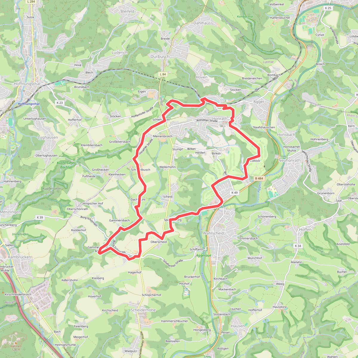
#6. 18 Bauernhofweg
Lohmar,Rösrath
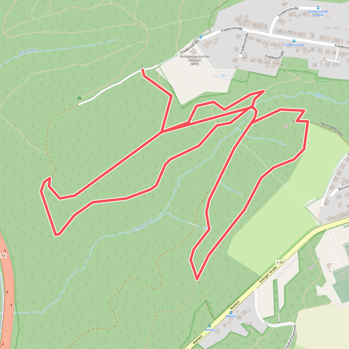
#7. 2: Bäume der Welt
Wuppertal
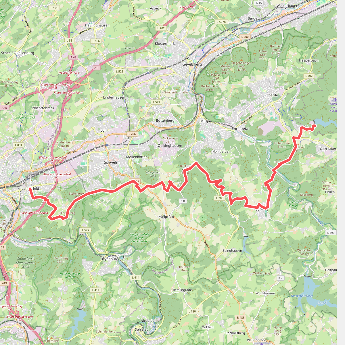
#8. <2> Hasper Talsperre - Wuppertal-Langerfeld
Hagen,Ennepetal,Schwelm,Wuppertal
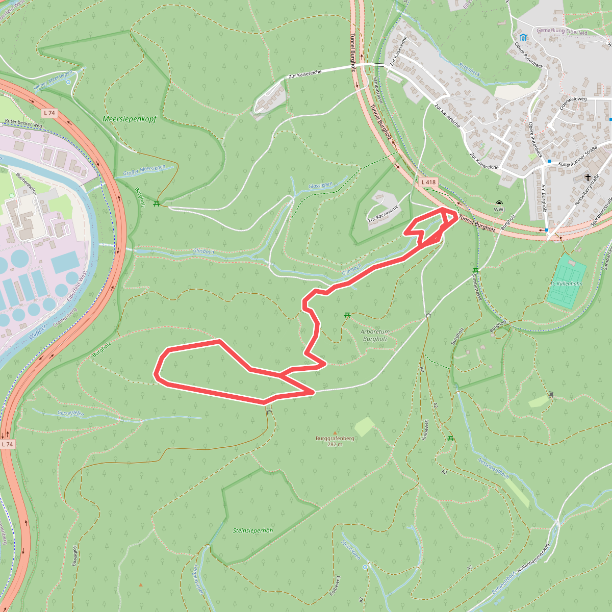
#9. 3: Bäume der Welt
Wuppertal
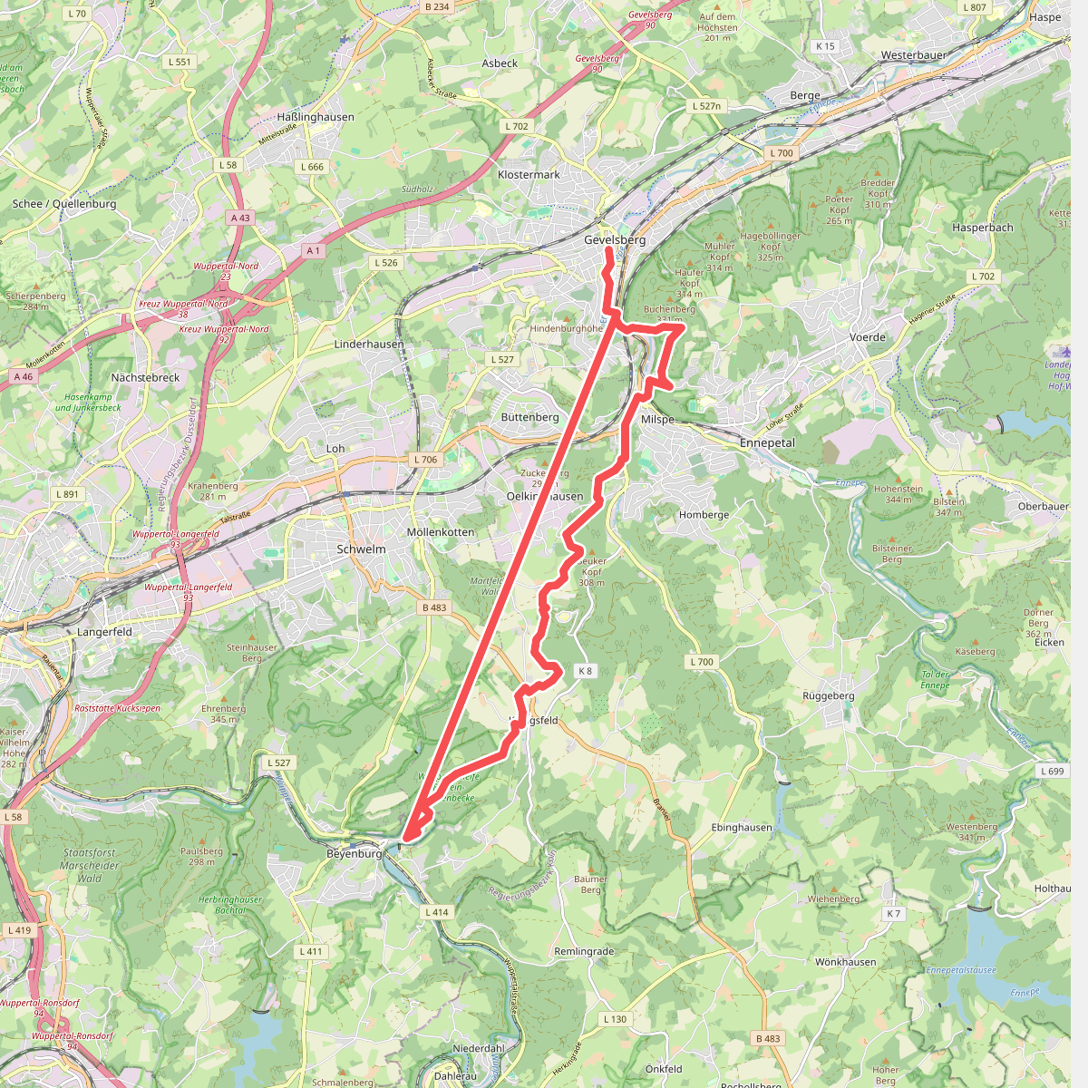
#10. <3> Gevelsberg - Wuppertal-Beyenburg
Gevelsberg,Ennepetal,Wuppertal
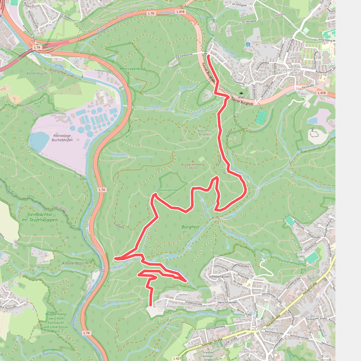
#11. 4: Wälder der Welt
Wuppertal
![[<4a] Wanderweg 4a des KEV](https://wandelweb.fsn1.your-objectstorage.com/tracks/static-maps/33815-1779132989-large.png)
#12. [<4a] Wanderweg 4a des KEV
Kürten



