

The best hiking routes in Naturpark Bayerischer Wald
Discover the best walks in Naturpark Bayerischer Wald. 453 routes on the map, with descriptions, photos and GPX.
Managed by Naturpark Bayerischer Wald e. V.
About Naturpark Bayerischer Wald
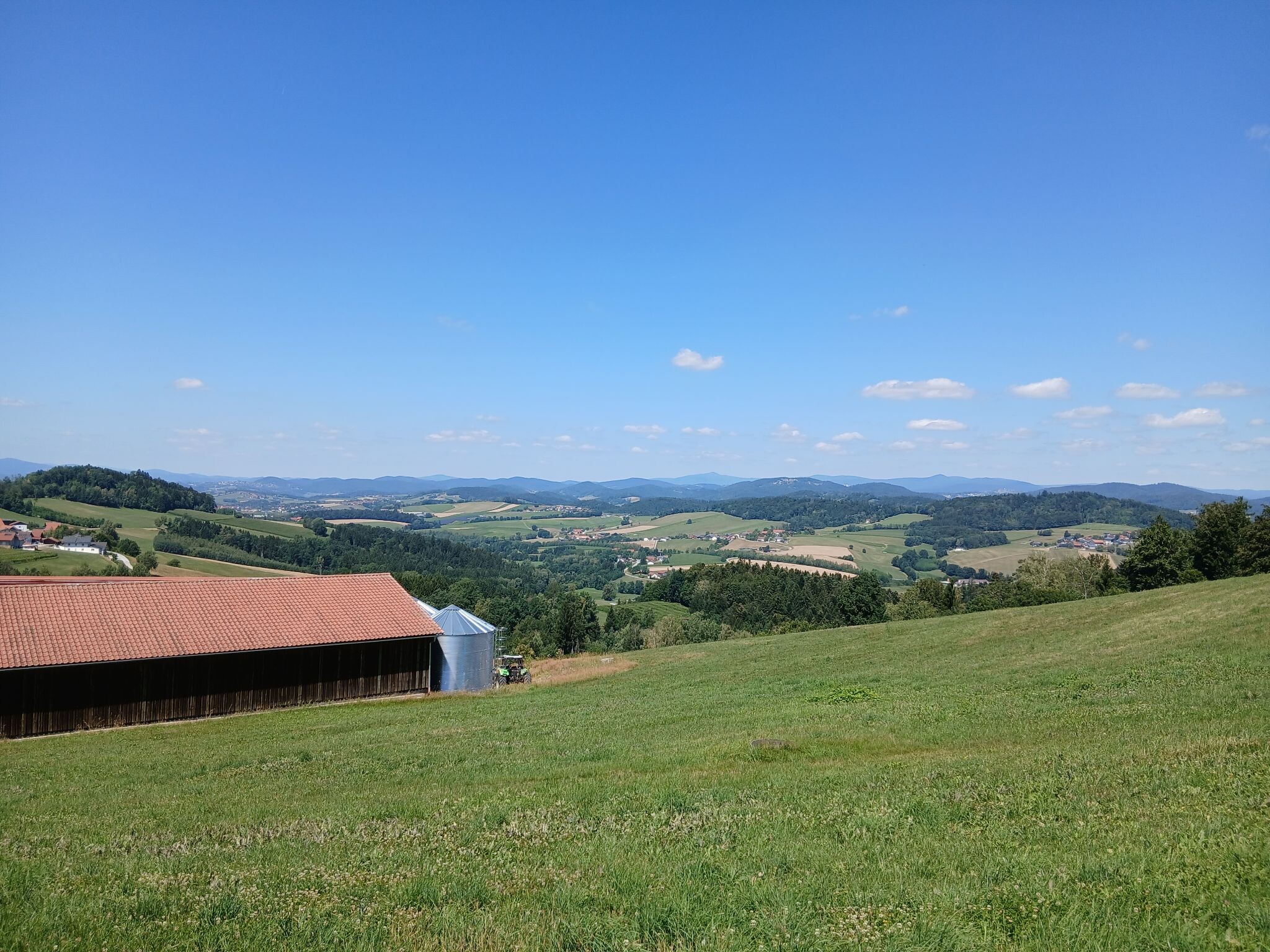
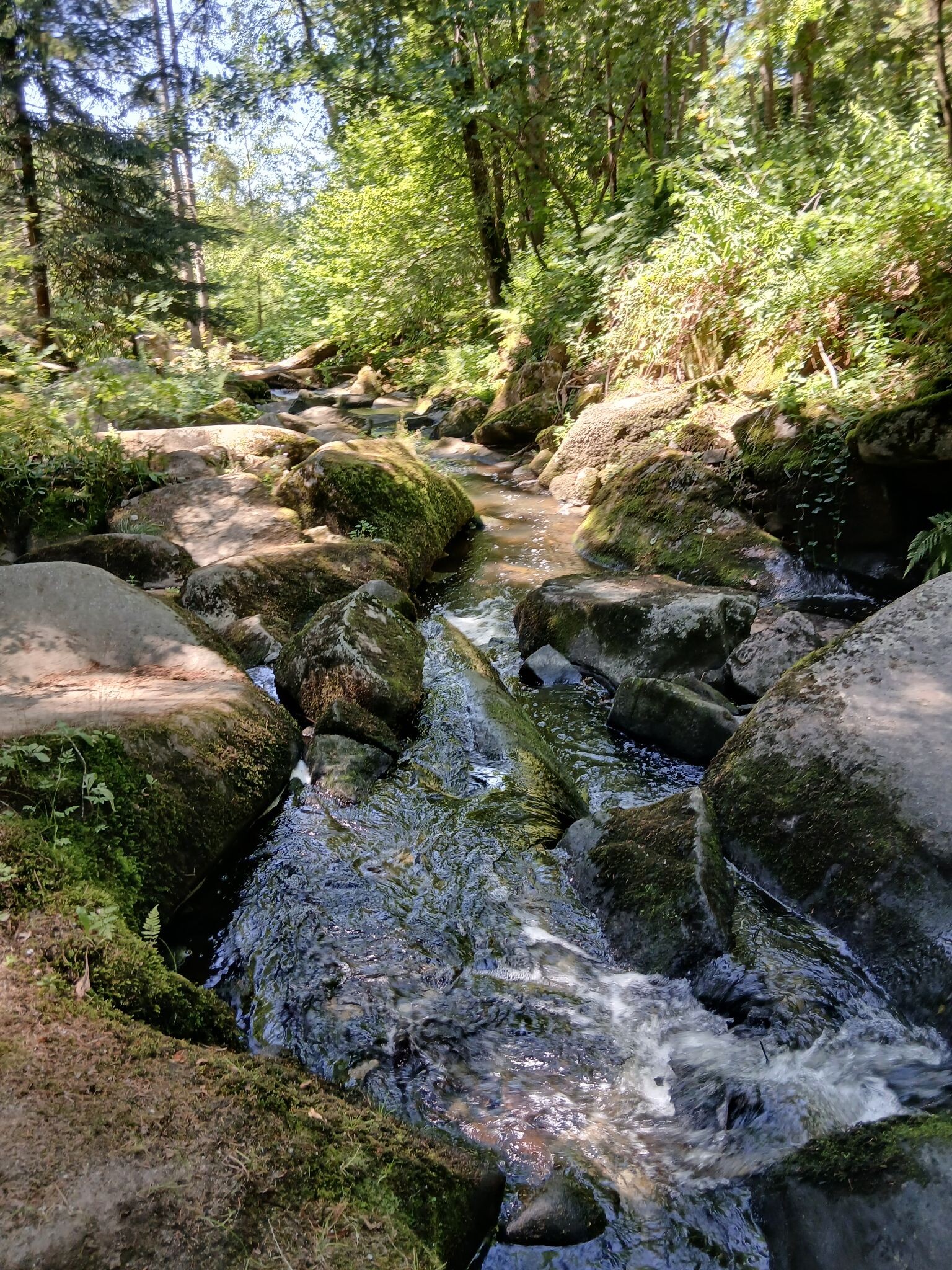
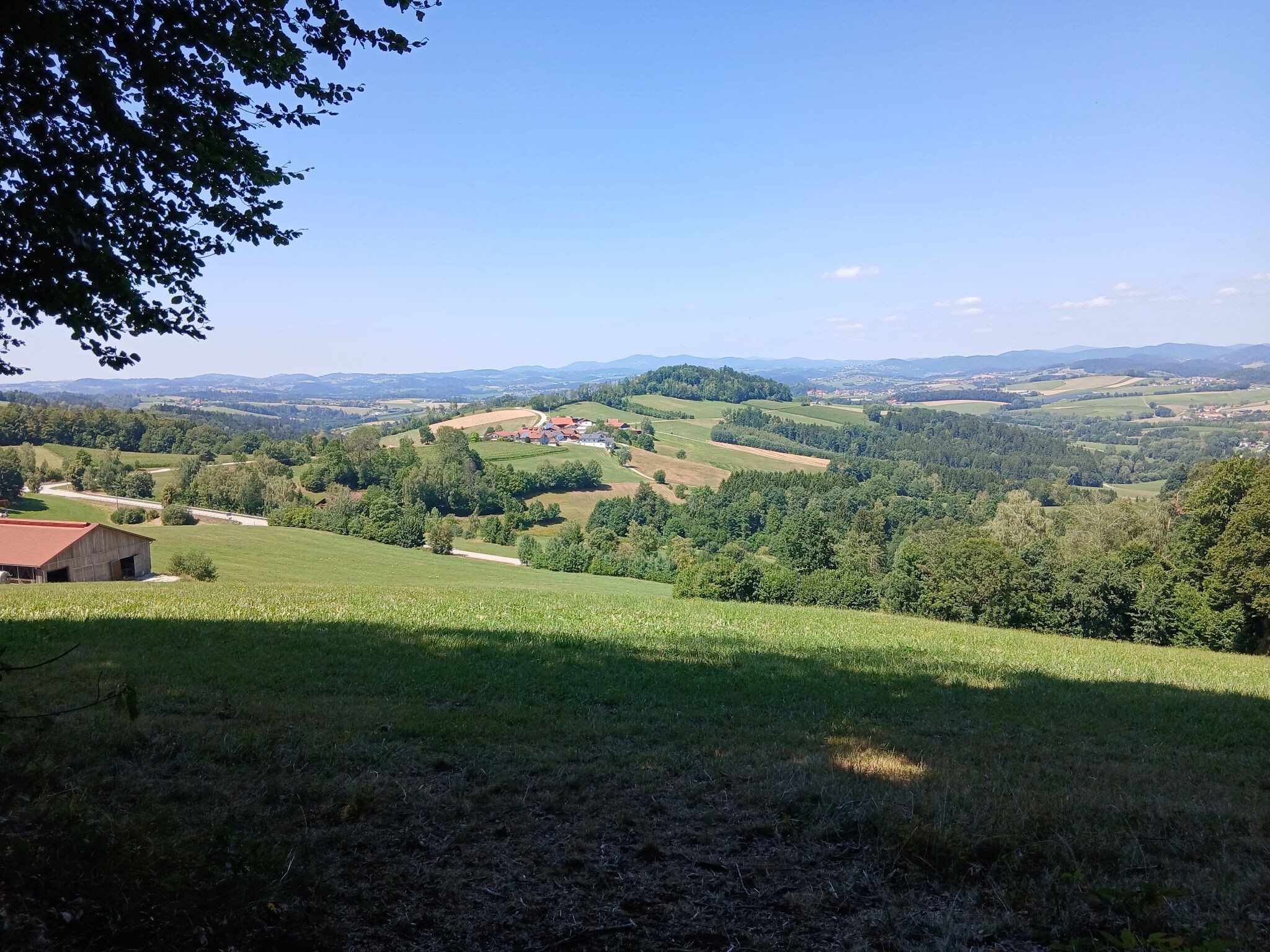
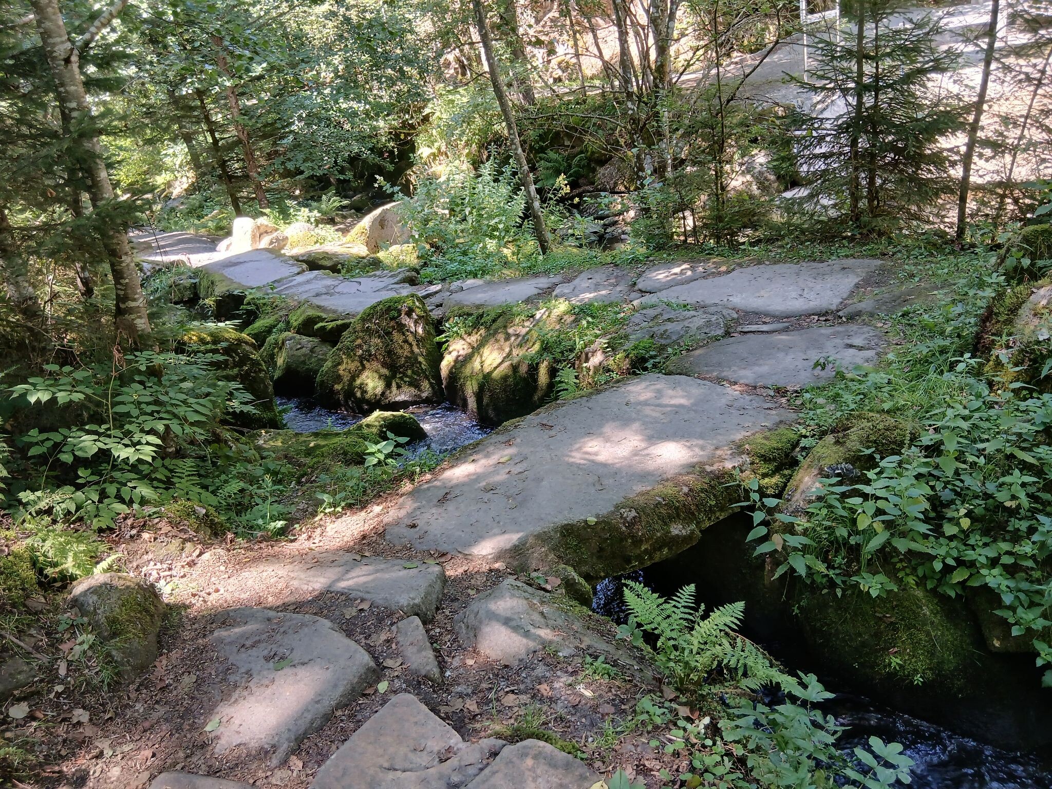
Naturpark Bayerischer Wald covers a vast, densely forested upland landscape characterized by rounded granite ridges, dark spruce woods, and damp valley floors. Unlike high alpine regions, this area lacks jagged limestone peaks or sheer rock walls, offering instead a continuous canopy of mixed beech, fir, and spruce trees that stretches over rolling hills. Walkers will notice a distinct transition between the drier, boulder-strewn upper slopes and the boggy, peat-rich depressions where small streams gather. Underfoot, the paths vary from soft, needle-covered soil and exposed tree roots to damp gravel tracks and wooden boardwalks over the wettest mires.
Read more
About Naturpark Bayerischer Wald
Naturpark Bayerischer Wald covers a vast, densely forested upland landscape characterized by rounded granite ridges, dark spruce woods, and damp valley floors. Unlike high alpine regions, this area lacks jagged limestone peaks or sheer rock walls, offering instead a continuous canopy of mixed beech, fir, and spruce trees that stretches over rolling hills. Walkers will notice a distinct transition between the drier, boulder-strewn upper slopes and the boggy, peat-rich depressions where small streams gather. Underfoot, the paths vary from soft, needle-covered soil and exposed tree roots to damp gravel tracks and wooden boardwalks over the wettest mires.
Read moreNaturpark Bayerischer Wald covers a vast, densely forested upland landscape characterized by rounded granite ridges, dark spruce woods, and damp valley floors. Unlike high alpine regions, this area lacks jagged limestone peaks or sheer rock walls, offering instead a continuous canopy of mixed beech, fir, and spruce trees that stretches over rolling hills. Walkers will notice a distinct transition between the drier, boulder-strewn upper slopes and the boggy, peat-rich depressions where small streams gather. Underfoot, the paths vary from soft, needle-covered soil and exposed tree roots to damp gravel tracks and wooden boardwalks over the wettest mires.
The forest floor tells the story of its damp climate and acidic granite bedrock. As you walk, you will pass thick carpets of moss, dense blueberry bushes, and decaying fallen logs left to rot naturally, which support a wide variety of fungi and lichens. In the higher elevations, the trees become shorter and more wind-bent, interspersed with open, grassy clearings known as Schachten, which were historically used for forest pasture. These open glades provide a sudden contrast to the enclosed, dark woodland trails.
Choosing a route here means deciding between the steeper, stony ascents up peaks like the Arber or Rachel, and the gentler, flatter paths along the reservoir banks and stream valleys. The busier summit trails often feature rough stone steps and exposed bedrock, while the quieter valley walks follow wide forestry tracks or soft peat paths. In October, the deciduous trees on the lower slopes turn a deep yellow and rust color, contrasting sharply with the dark green of the high-altitude spruce forests.
Hiking routes in Naturpark Bayerischer Wald (453)
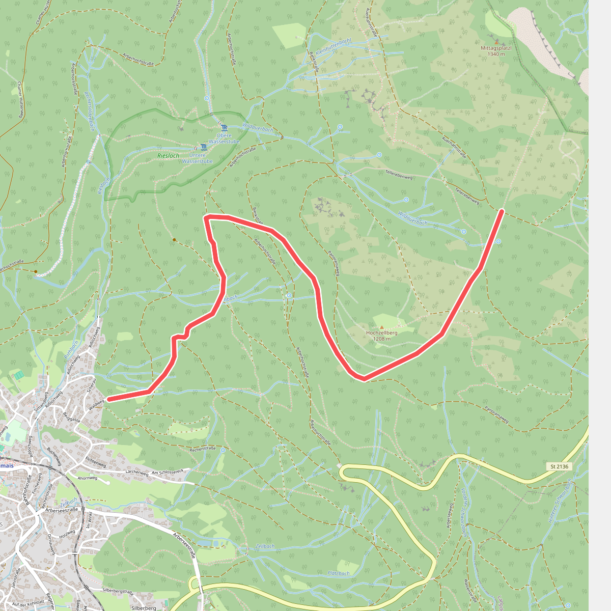
#1. 1 Bodenmais - Arber
Bodenmais
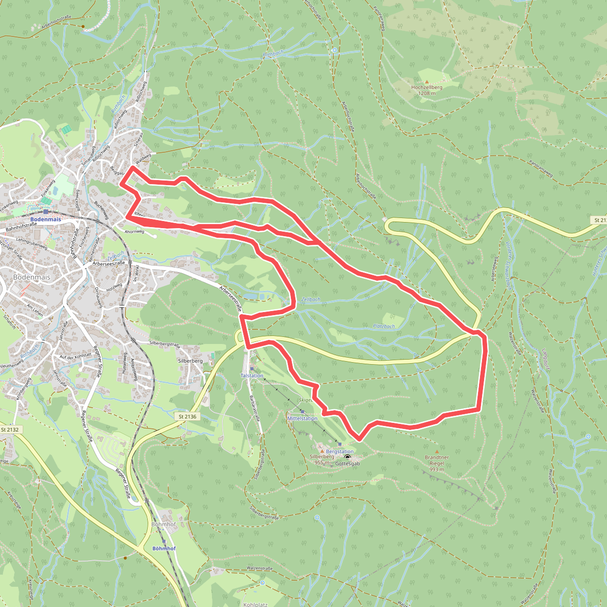
#2. 10 Bodenmais - Silberberg
Bodenmais
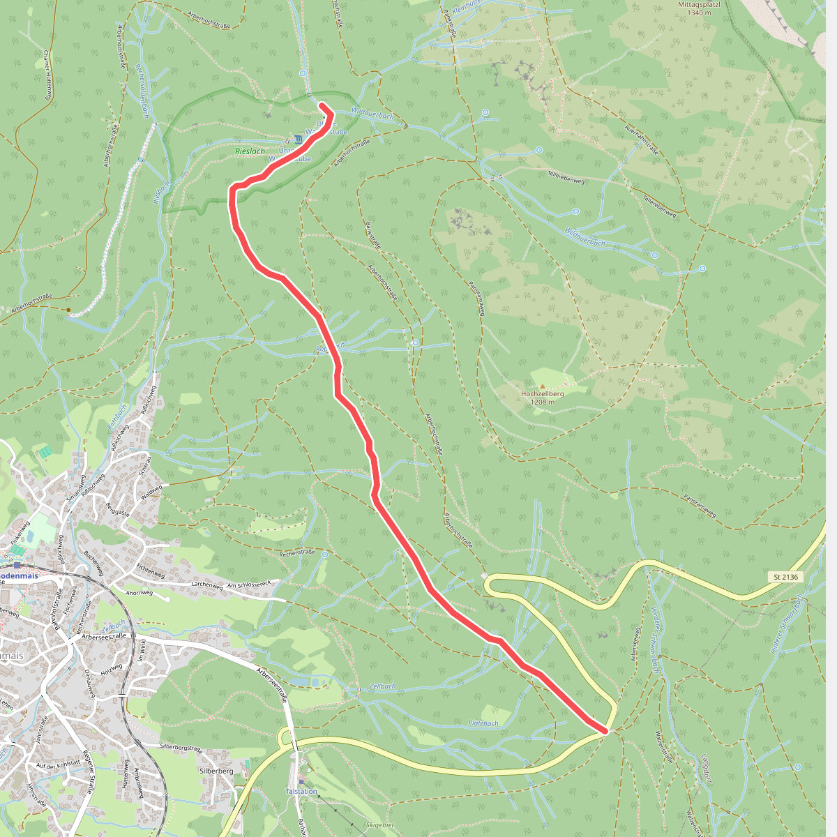
#3. 12 Schönebene - Rißlochfälle
Bodenmais
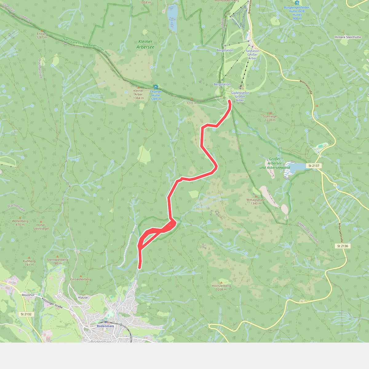
#4. 2 Bodenmais - Großer Arber
Bodenmais
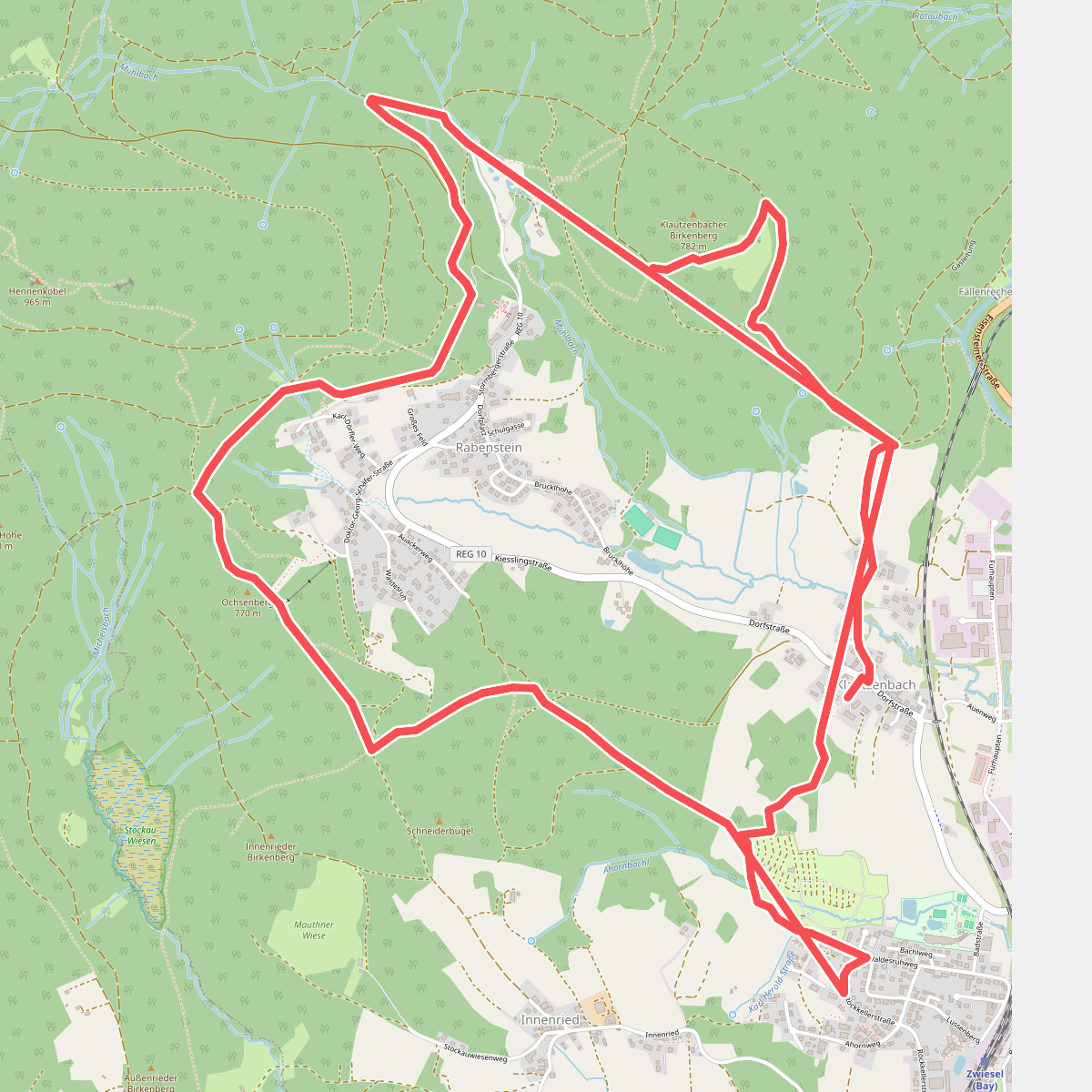
#5. 28 Rabensteinrunde
Zwiesel
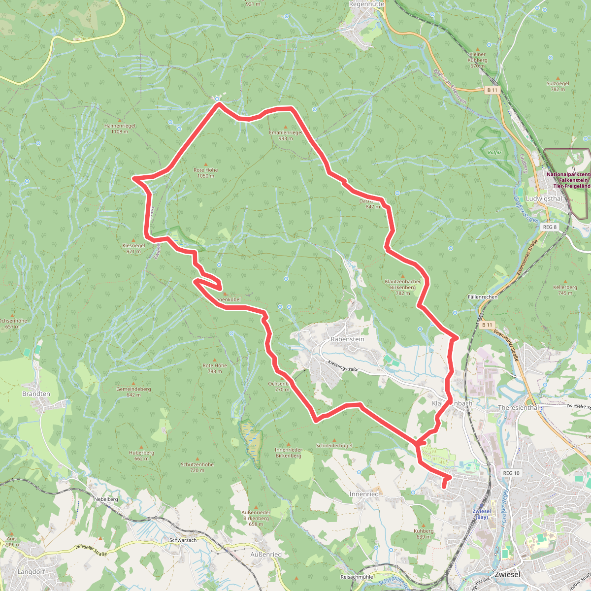
#6. 29 Schachtenbachrunde (Hennenkobel)
Zwiesel,Langdorf,Bayerisch Eisenstein
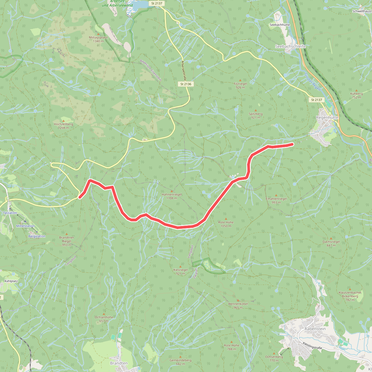
#7. 3 Schönebene - Regenhütte
Bodenmais,Langdorf,Zwiesel,Bayerisch Eisenstein
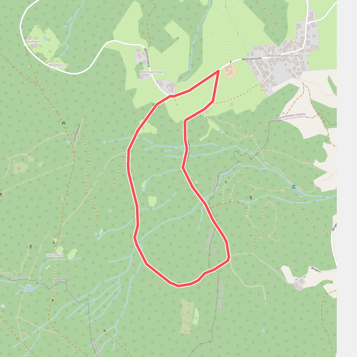
#8. 33_Wassergassenrundweg
Gotteszell,Grafling
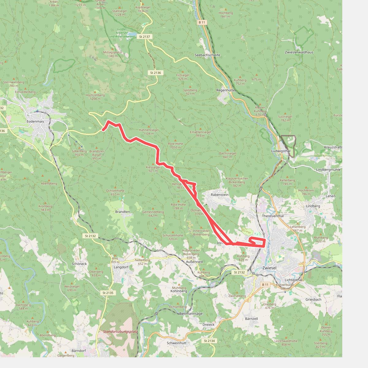
#9. 4 Schönebene - Bahnhof Zwiesel
Bodenmais,Langdorf,Zwiesel
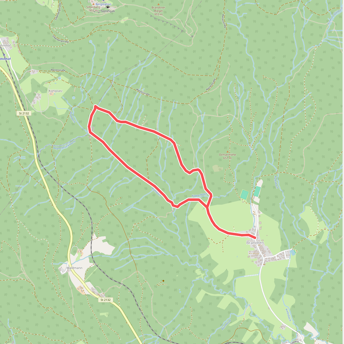
#10. 5 Brandten-Schwellweiher-Brandten
Langdorf
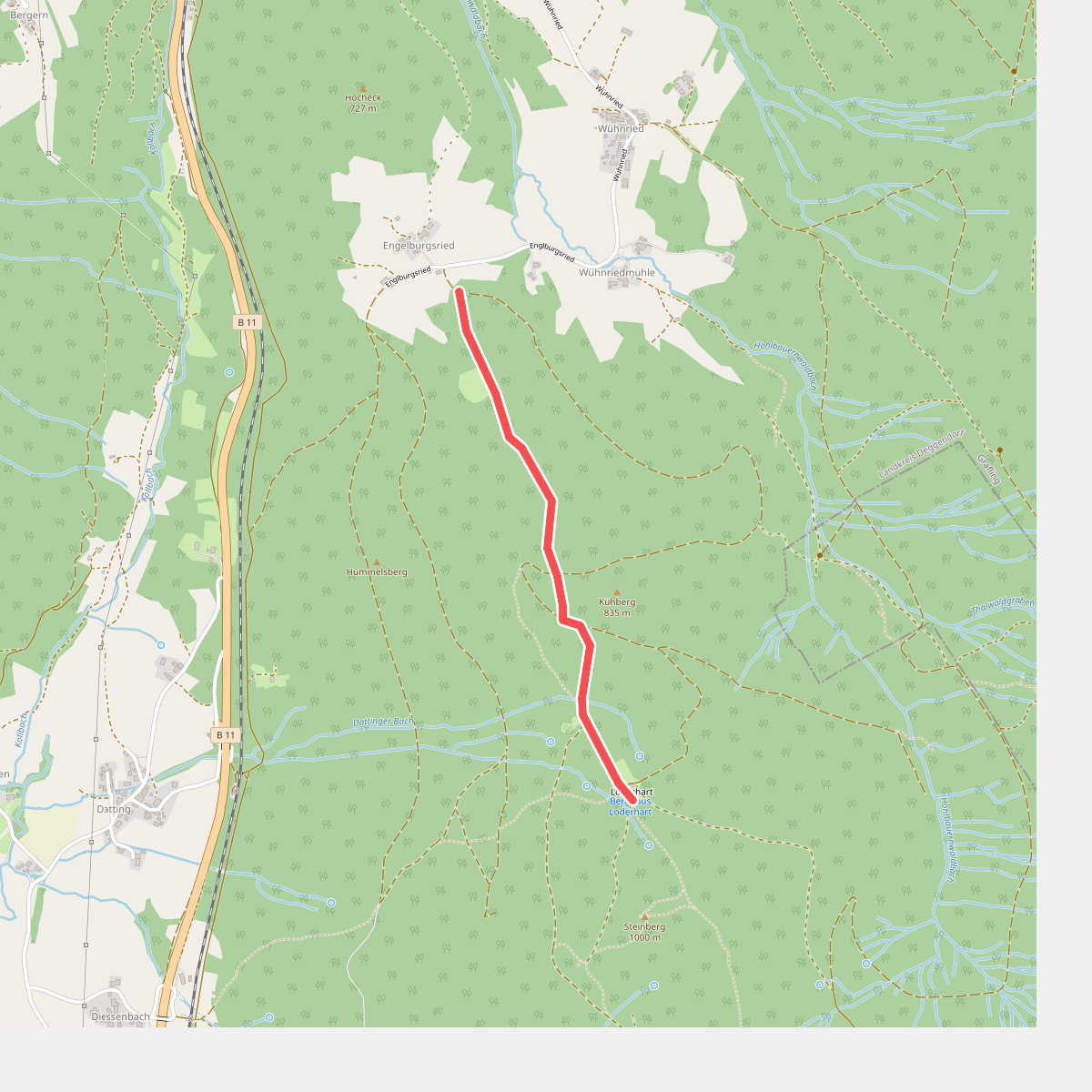
#11. 6
Grafling
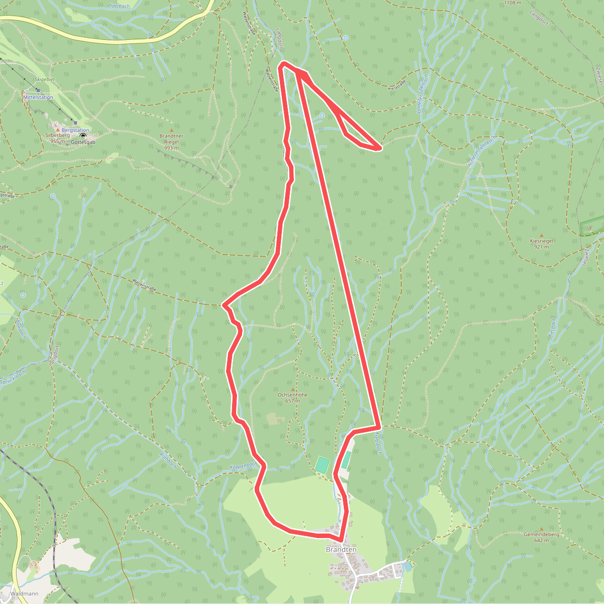
#12. 6 Brandten-Brandtnerriegel-Gfällbach-Brandten
Langdorf



