

The best hiking routes in Nationalpark Schwarzwald
Discover the best walks in Nationalpark Schwarzwald. 96 routes on the map, with descriptions, photos and GPX.
About Nationalpark Schwarzwald
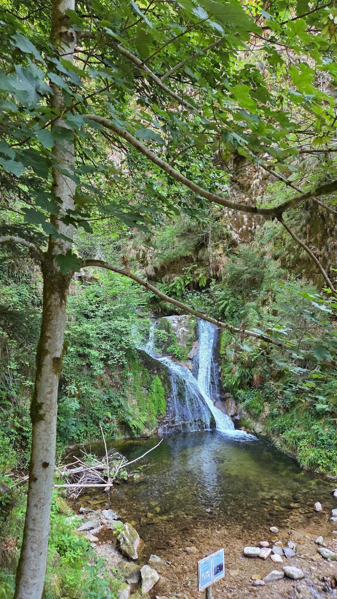
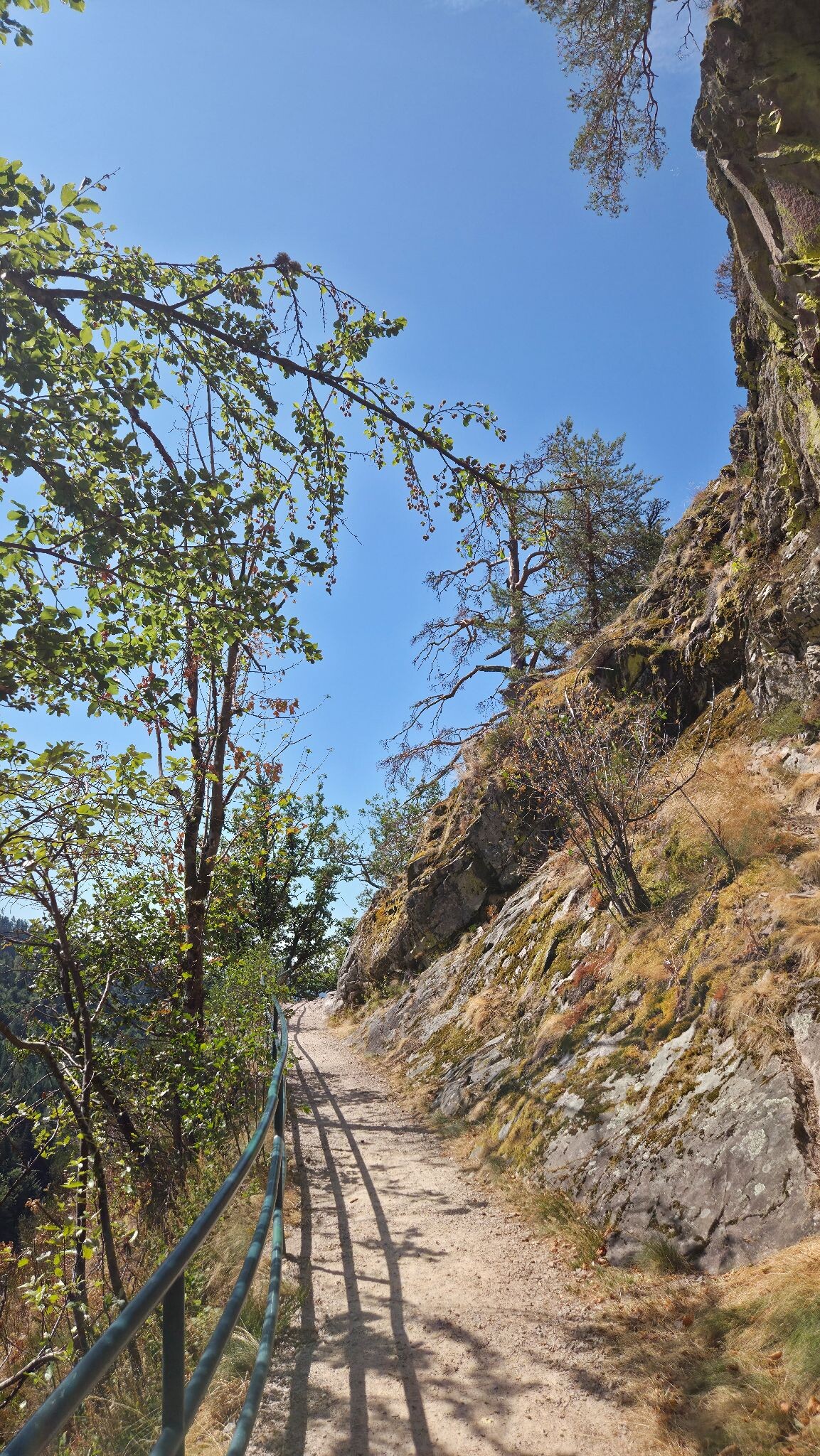
Nationalpark Schwarzwald is characterized by its steep, forested sandstone slopes, high-altitude spruce forests, and open, boggy heathlands known locally as Grinden. Unlike the gentler, rolling hills of the southern Black Forest, this northern section features dramatic elevation drops, deep glacial cirques, and dark tarns like the Wildsee. Underfoot, you will transition from wide, gravel forestry tracks to narrow, rocky paths strewn with tree roots, and wooden boardwalks that cross the wet peat soils of the high moors.
Read more
About Nationalpark Schwarzwald
Nationalpark Schwarzwald is characterized by its steep, forested sandstone slopes, high-altitude spruce forests, and open, boggy heathlands known locally as Grinden. Unlike the gentler, rolling hills of the southern Black Forest, this northern section features dramatic elevation drops, deep glacial cirques, and dark tarns like the Wildsee. Underfoot, you will transition from wide, gravel forestry tracks to narrow, rocky paths strewn with tree roots, and wooden boardwalks that cross the wet peat soils of the high moors.
Read moreNationalpark Schwarzwald is characterized by its steep, forested sandstone slopes, high-altitude spruce forests, and open, boggy heathlands known locally as Grinden. Unlike the gentler, rolling hills of the southern Black Forest, this northern section features dramatic elevation drops, deep glacial cirques, and dark tarns like the Wildsee. Underfoot, you will transition from wide, gravel forestry tracks to narrow, rocky paths strewn with tree roots, and wooden boardwalks that cross the wet peat soils of the high moors.
On the ridges, the landscape opens up into wet heathlands where dwarf shrubs, cotton grass, and blueberries dominate, a result of historic grazing and high rainfall. In contrast, the steep valley sides are densely packed with silver fir, beech, and spruce, where natural decay is left undisturbed, leaving fallen logs and moss-covered boulders alongside the trail. The transition from managed timberland to wilder, unmanaged forest is visible as you walk, with younger plantations giving way to structurally diverse, older stands.
While the areas around the Ruhestein visitor centre and the Mummelsee are often busy with visitors, the deeper paths into the Wilder See-Ruhestein core zone offer a quieter experience. Walkers should expect steep climbs and uneven ground rather than flat, easy strolls. This is a landscape of dense canopy, damp mosses, and rugged sandstone terrain, where the focus is on forest regeneration and montane ecology rather than open farmland or pastoral views.
Hiking routes in Nationalpark Schwarzwald (96)
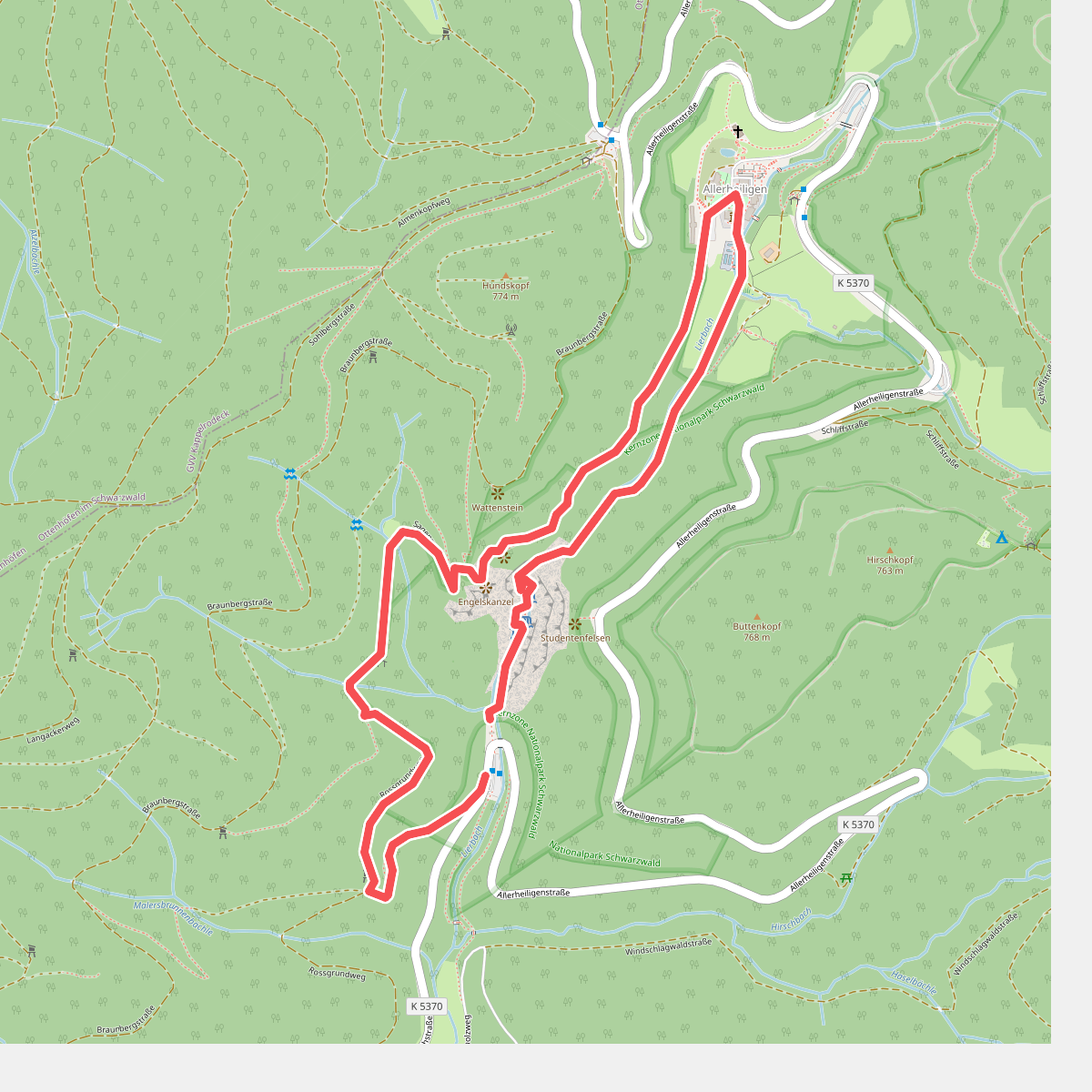
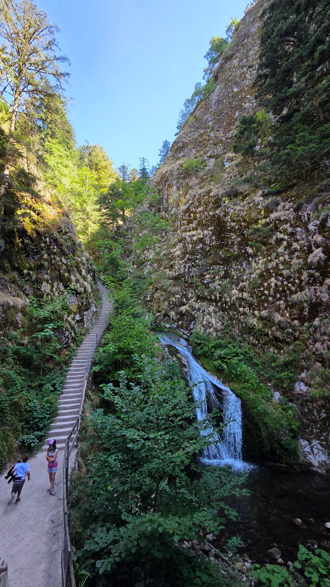
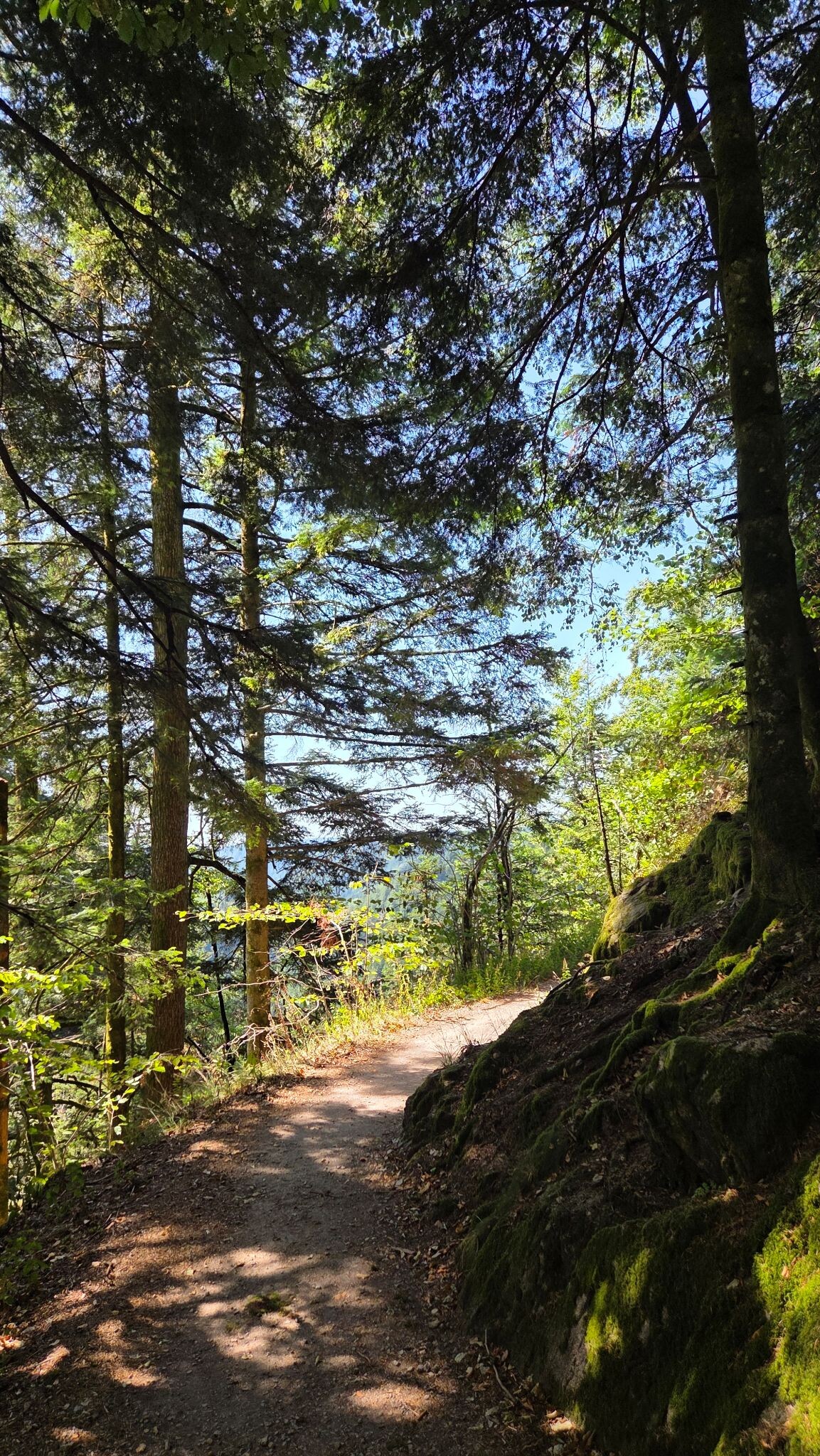
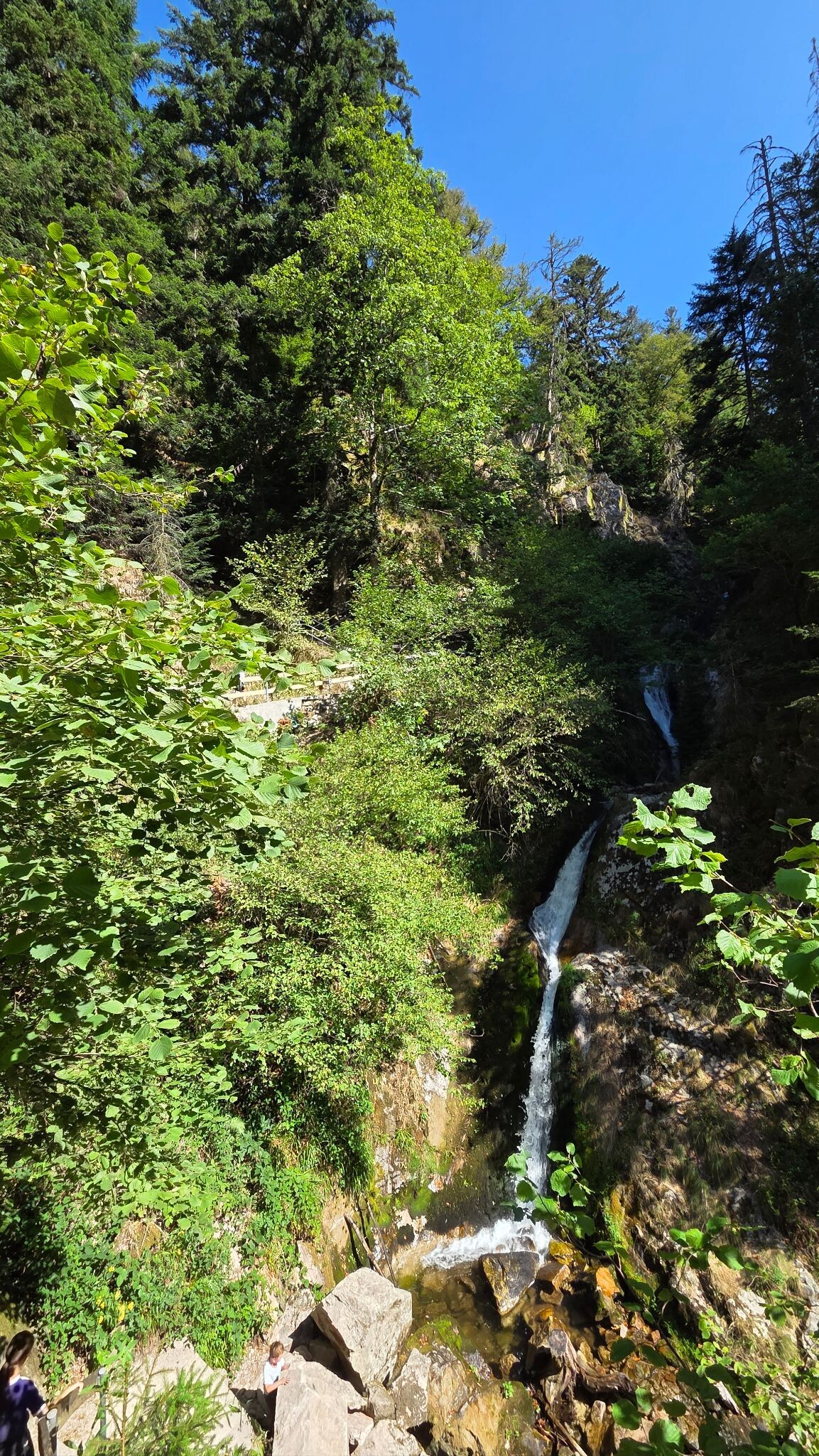
#1. Sagenrundweg (Allerheiligen Watervallen)
Oppenau
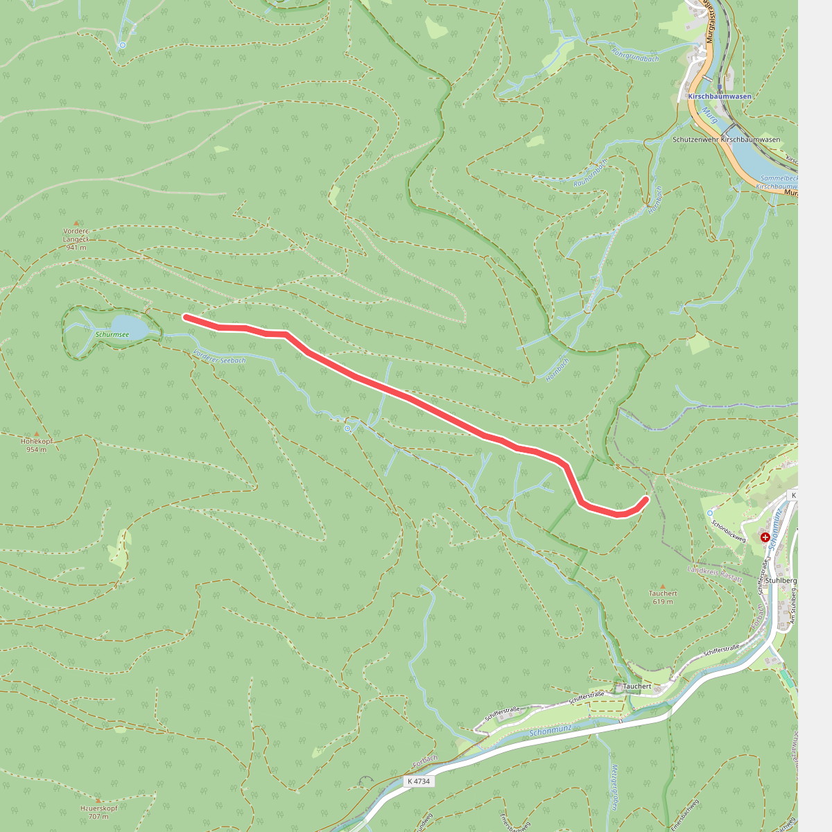
#2. Abzweig Schurmsee - School
Forbach
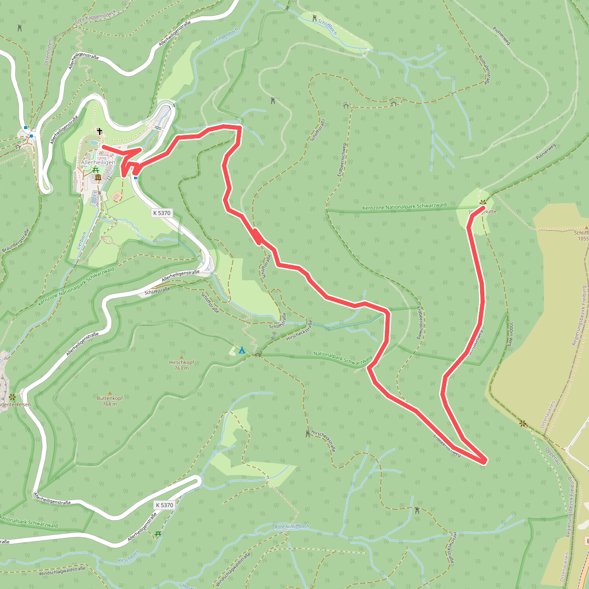
#3. Allerheiligen Klosterruine - Jakobshütte
Oppenau
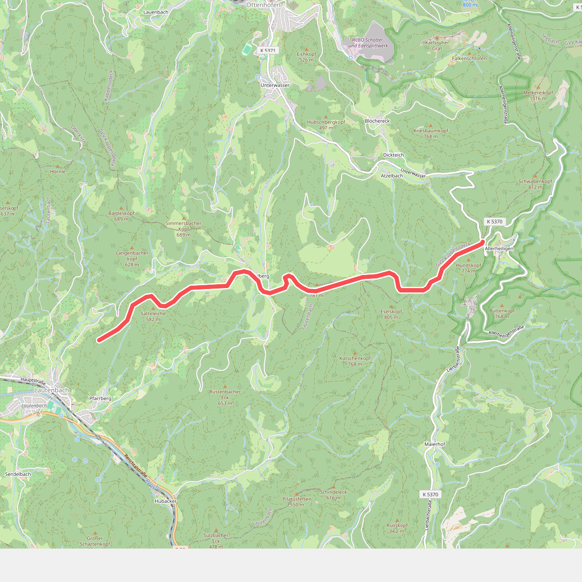
#4. Allerheiligen Steig
Lautenbach,Ottenhöfen im Schwarzwald,Oppenau
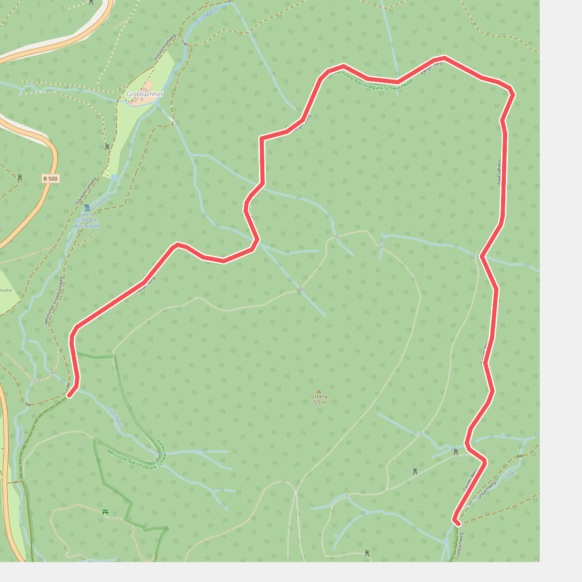
#5. Am Froschbach - Am Urbach
Baden-Baden
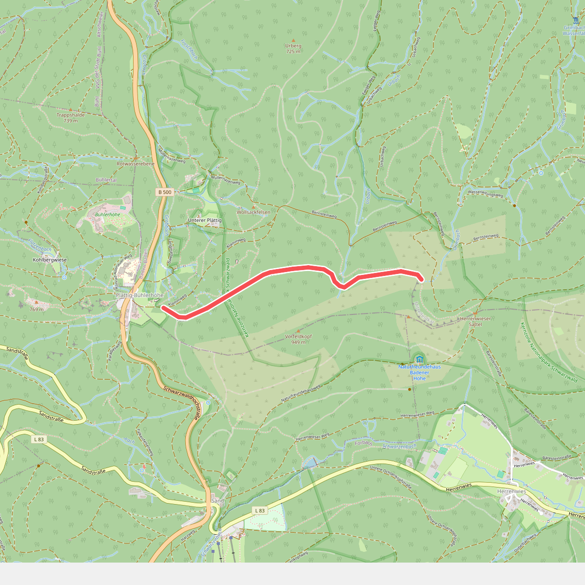
#6. Am Wildnispfad - Brautstein
Baden-Baden
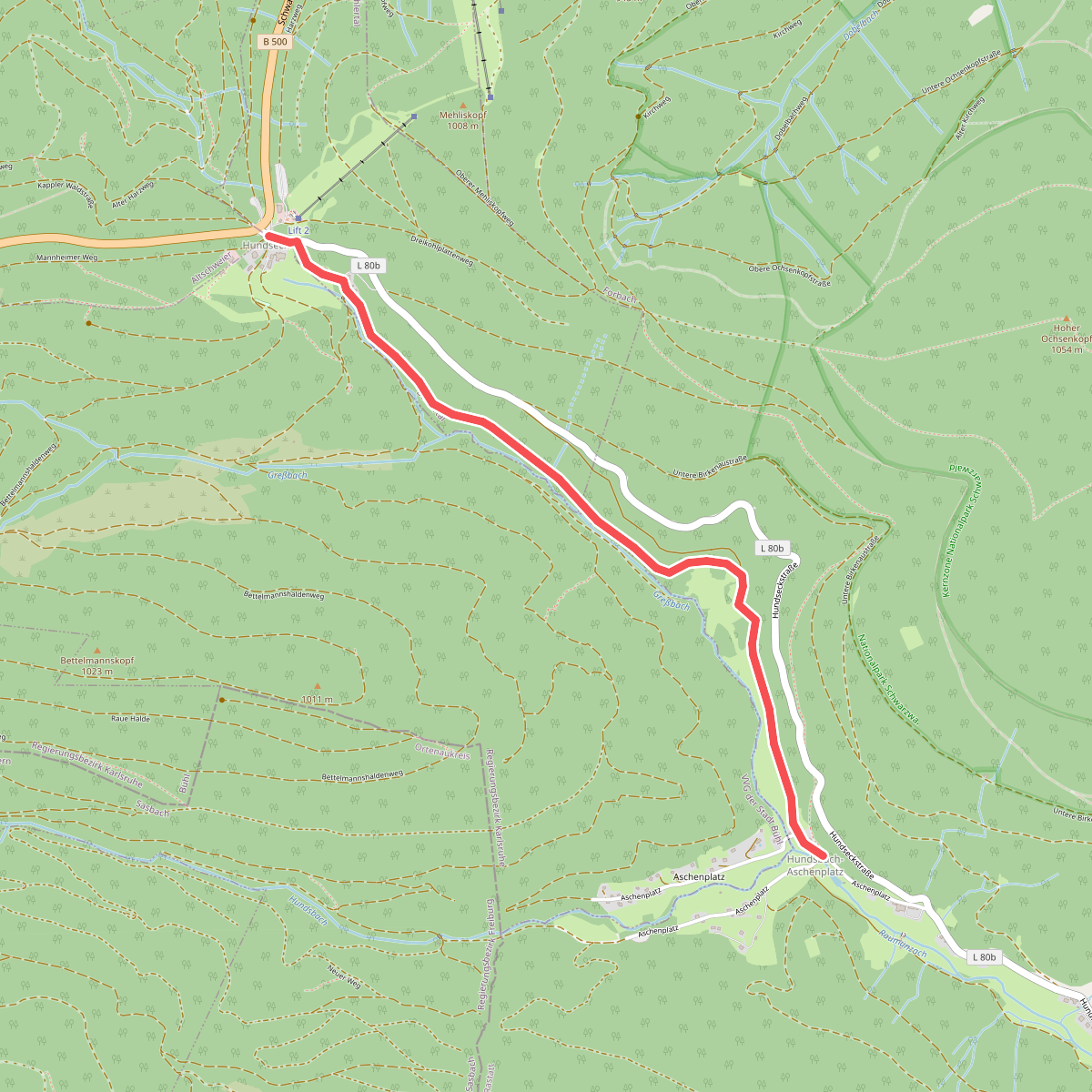
#7. Aschenplatz Brücke - Hundseck Hotel
Forbach,Bühlertal
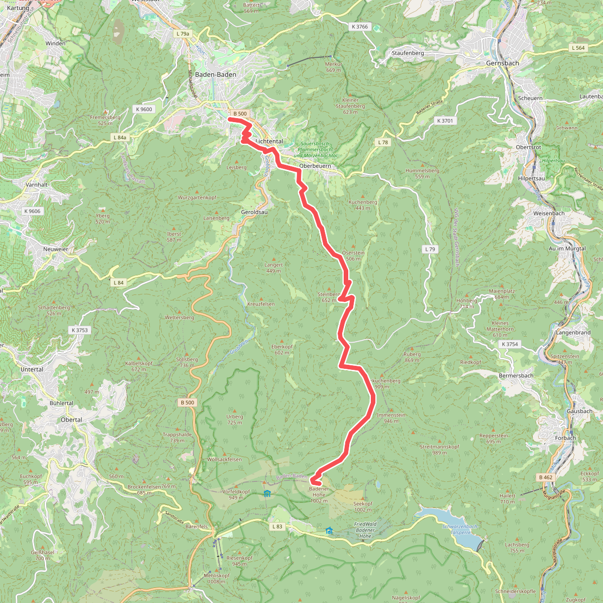
#8. Baden-Baden - Badener Höhe
Baden-Baden

#9. Baden-Baden - Sand
Baden-Baden,Sinzheim,Bühl,Bühlertal
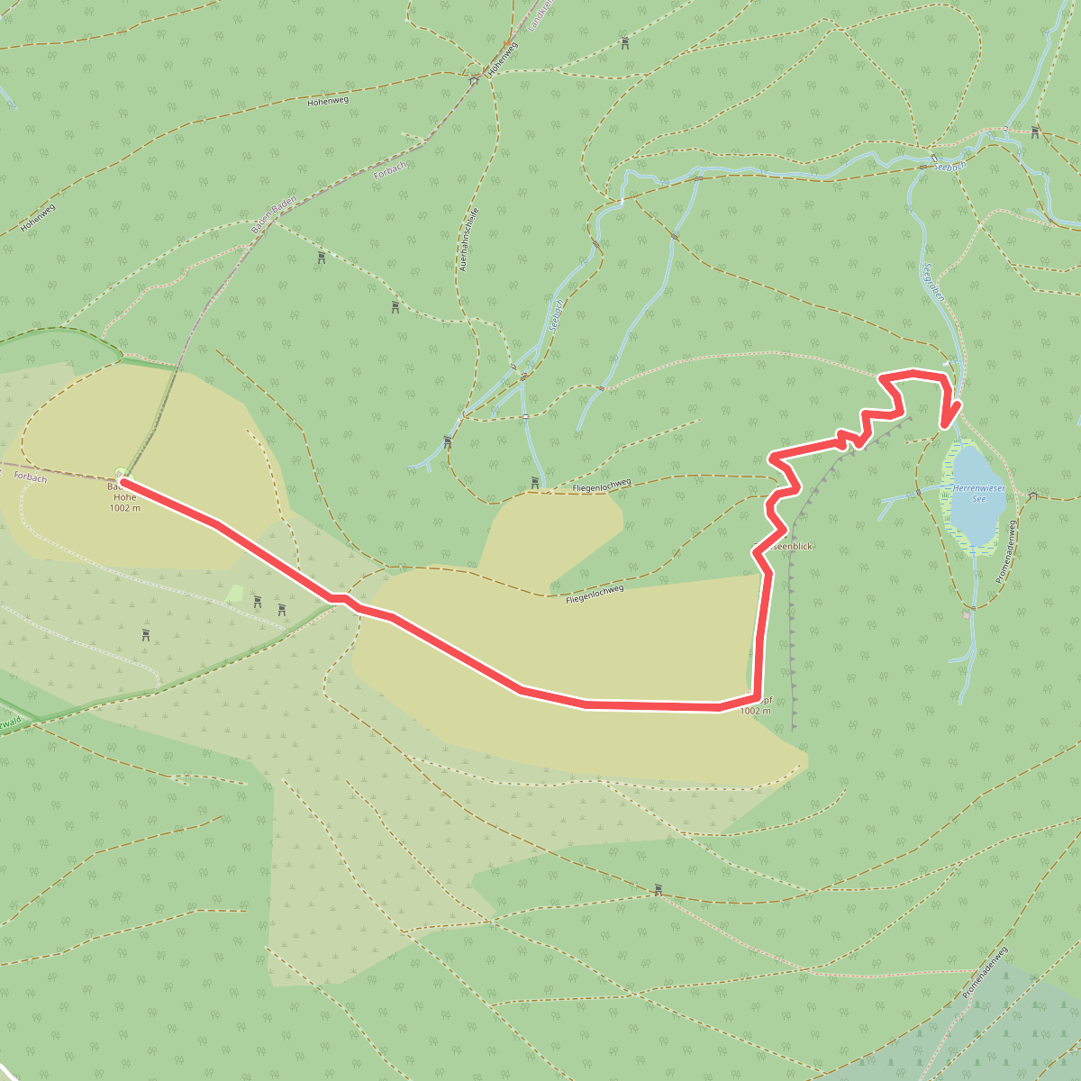
#10. Badener Höhe - Herrenwieser See
Baden-Baden,Forbach
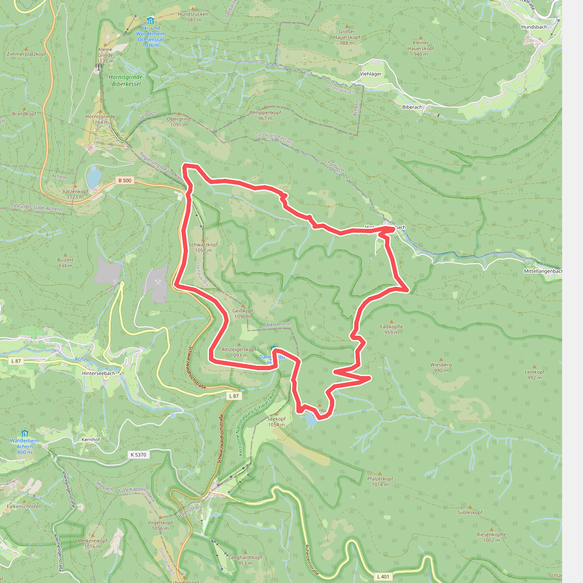
#11. Baiersbronner Himmelsweg: Bannwald-Tour
Baiersbronn,Seebach
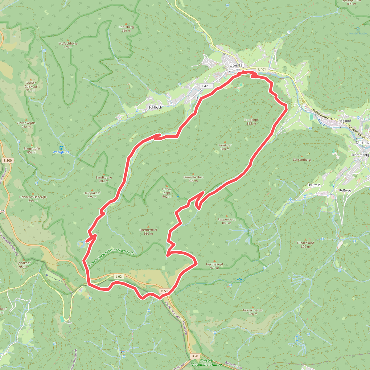
#12. Baiersbronner Himmelsweg: Genießer-Tour
Baiersbronn



