The best hiking routes in Nationalpark Harz
Discover the best walks in Nationalpark Harz. 139 routes on the map, with descriptions, photos and GPX.
About Nationalpark Harz
Nationalpark Harz covers a heavily forested, high-altitude granite massif in northern Germany. Unlike the surrounding flat agricultural plains, this area rises into a landscape dominated by spruce forests, deep rocky ravines, and high-altitude peat bogs. The higher elevations, particularly around the Brocken summit, are characterized by harsh, subalpine conditions where trees are stunted and twisted. You will notice a stark transition from the dense beech forests of the lower valleys to these open, wind-swept upper slopes where dead wood is left to decay naturally as part of the park's wilderness recovery program.
Read more
About Nationalpark Harz
Nationalpark Harz covers a heavily forested, high-altitude granite massif in northern Germany. Unlike the surrounding flat agricultural plains, this area rises into a landscape dominated by spruce forests, deep rocky ravines, and high-altitude peat bogs. The higher elevations, particularly around the Brocken summit, are characterized by harsh, subalpine conditions where trees are stunted and twisted. You will notice a stark transition from the dense beech forests of the lower valleys to these open, wind-swept upper slopes where dead wood is left to decay naturally as part of the park's wilderness recovery program.
Read moreNationalpark Harz covers a heavily forested, high-altitude granite massif in northern Germany. Unlike the surrounding flat agricultural plains, this area rises into a landscape dominated by spruce forests, deep rocky ravines, and high-altitude peat bogs. The higher elevations, particularly around the Brocken summit, are characterized by harsh, subalpine conditions where trees are stunted and twisted. You will notice a stark transition from the dense beech forests of the lower valleys to these open, wind-swept upper slopes where dead wood is left to decay naturally as part of the park's wilderness recovery program.
Underfoot, the terrain varies from wide, gravel-surfaced forestry tracks to narrow, rocky paths crisscrossed with tree roots. In the wettest upland areas, such as the upland moors near Torfhaus, wooden boardwalks are laid down to keep walkers above the saturated peat. Granite boulder fields, known locally as blockhalden, are common on the steeper slopes and require careful stepping. The landscape is shaped by its water, with fast-flowing mountain streams and artificial reservoirs dating back to historical mining operations.
This is a mountain environment of moderate heights, lacking the sheer limestone cliffs or permanent snowfields of higher European ranges. While the lower valleys offer sheltered walking through mixed woodland, the exposed ridges are subject to rapid shifts in visibility. The most famous summits and trailheads can become busy with visitors, but the extensive network of secondary paths through the dense spruce and boglands offers a much quieter, more solitary experience of the regenerating forest.
Hiking routes in Nationalpark Harz (139)
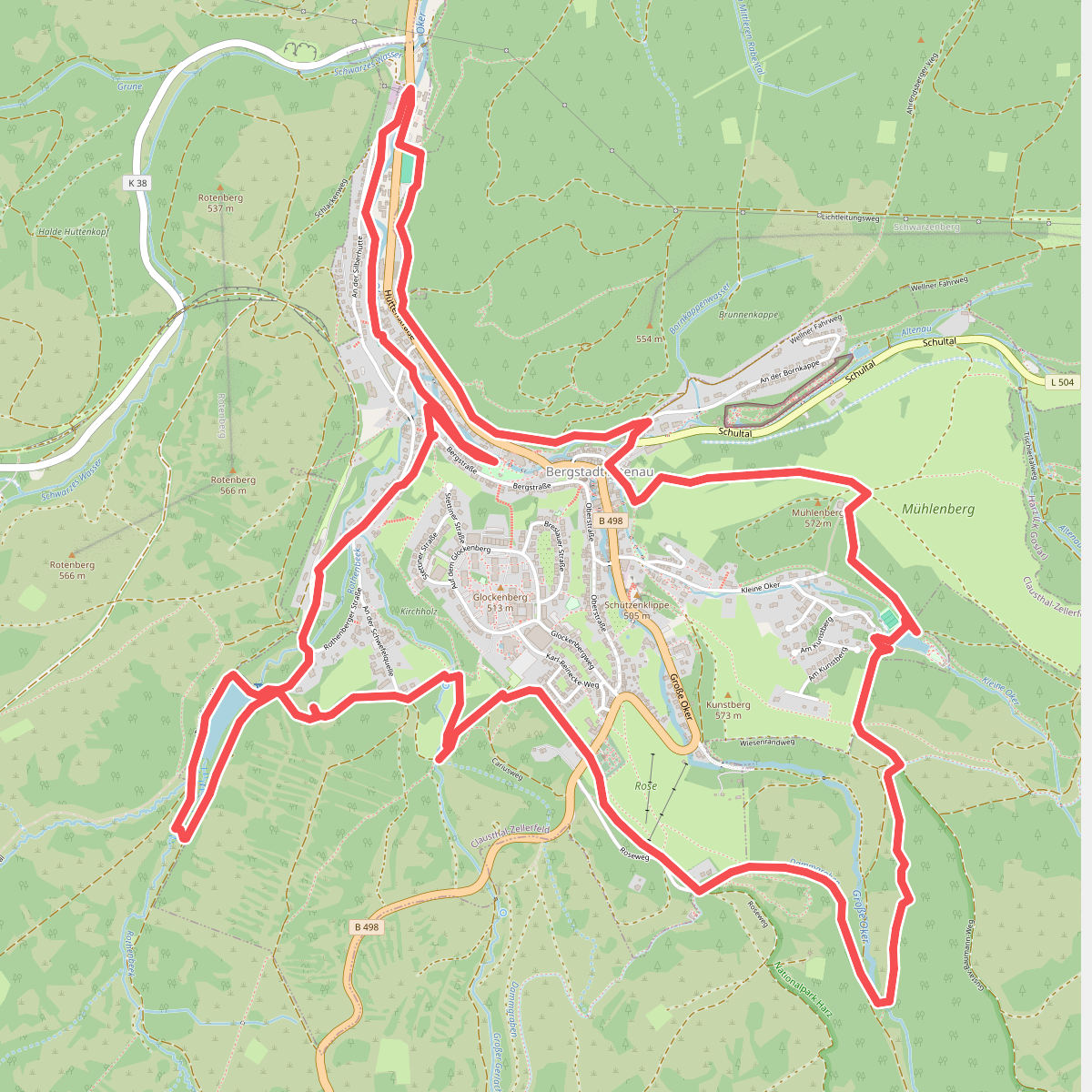
#1. Altenauer Herzweg
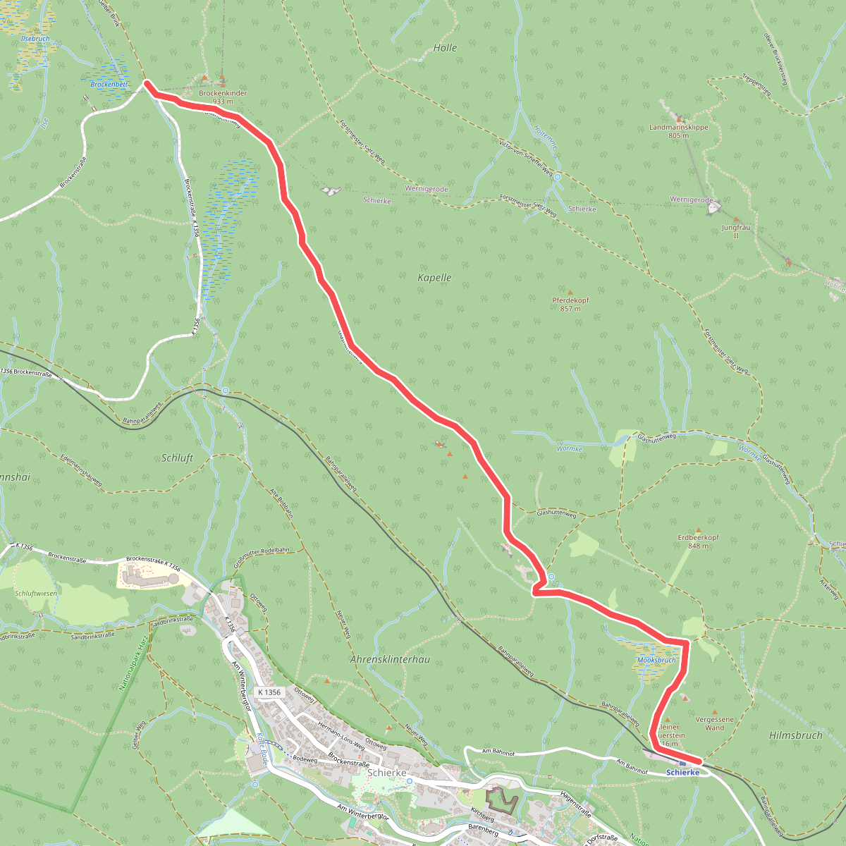
#2. Brocken über Ahrensklint
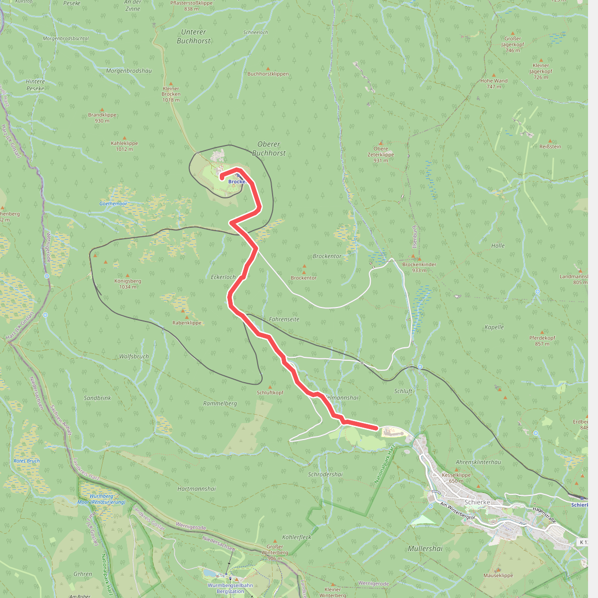
#3. Brocken über Eckerloch
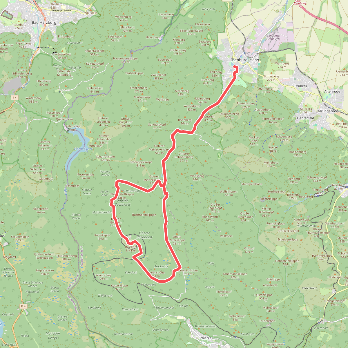
#4. Brockenlauf
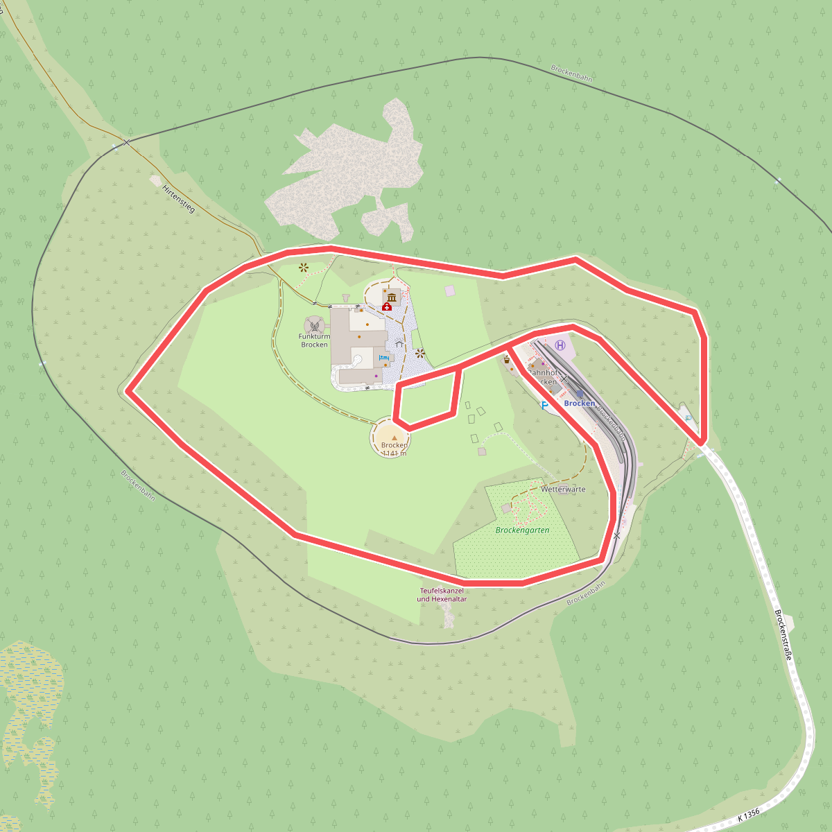
#5. Brockenrundwanderweg
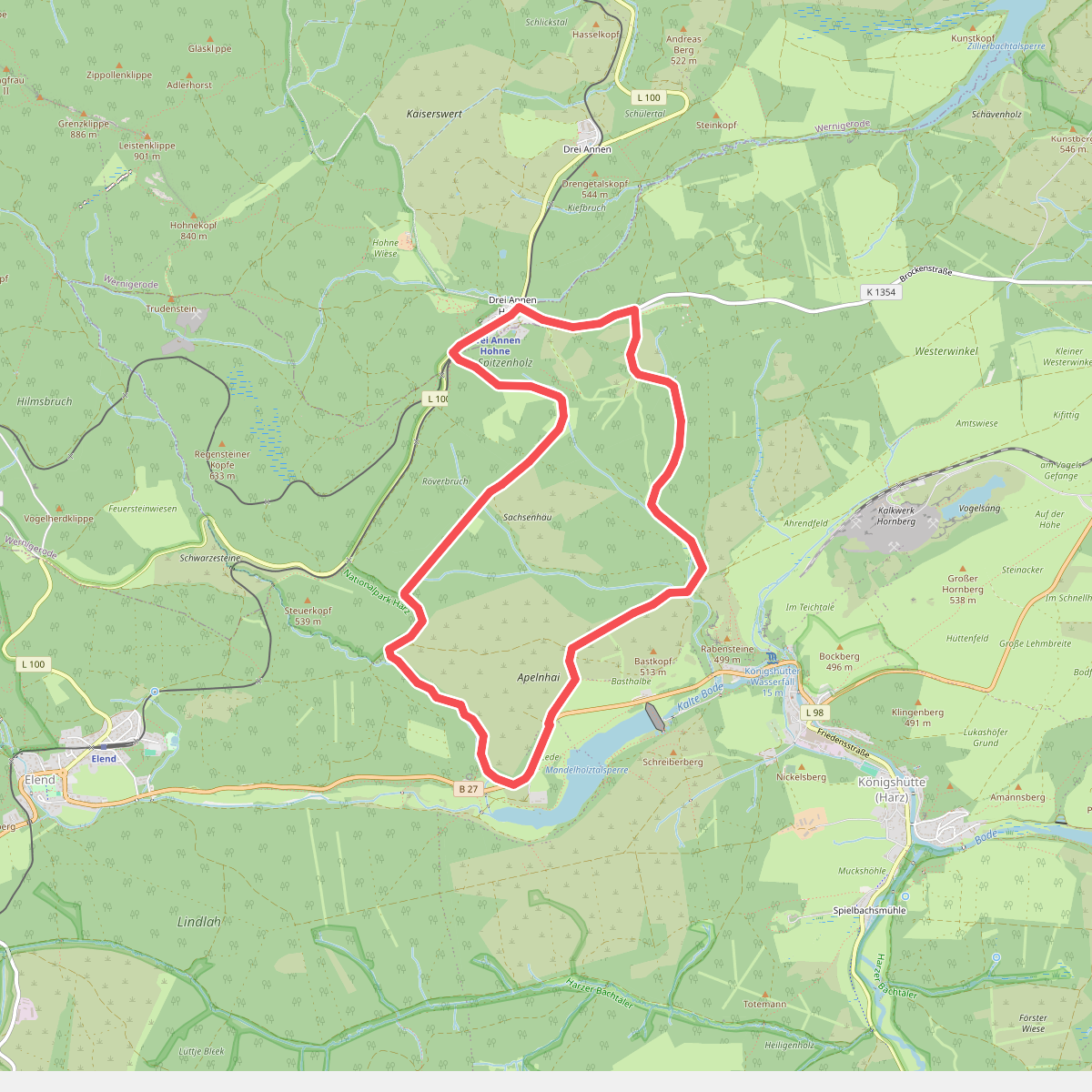
#6. Drei Annen Hohne-Mandelholz
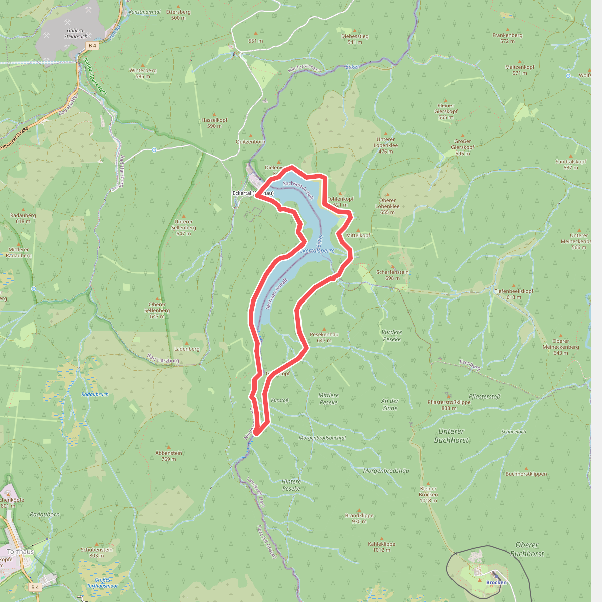
#7. Eckertalsperren-Rundweg
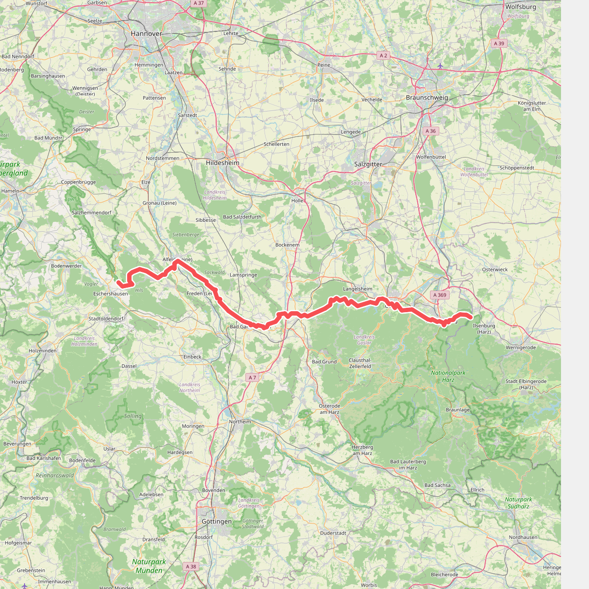
#8. Europäischer Fernwanderweg E11, Niedersachsen (O)
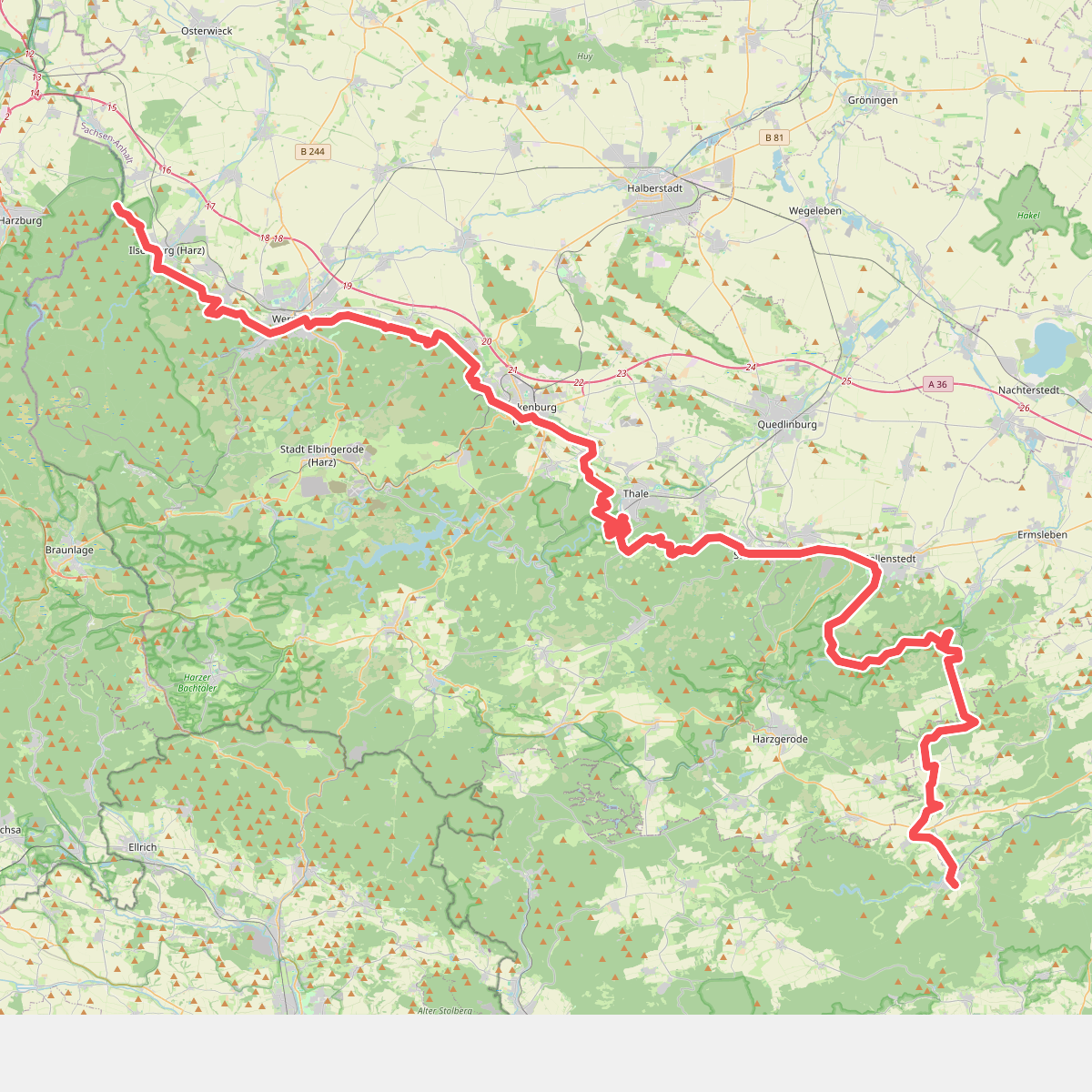
#9. Europäischer Fernwanderweg E11, Sachsen-Anhalt (W)
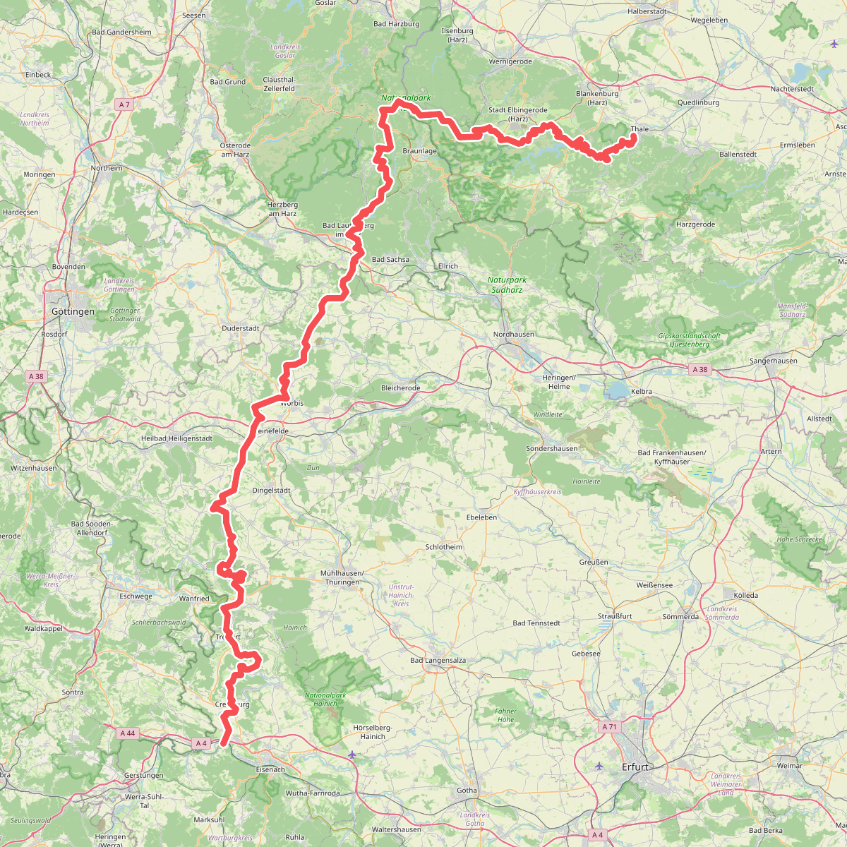
#10. Fernwanderweg Harz – Eichsfeld – Thüringer Wald (HET)
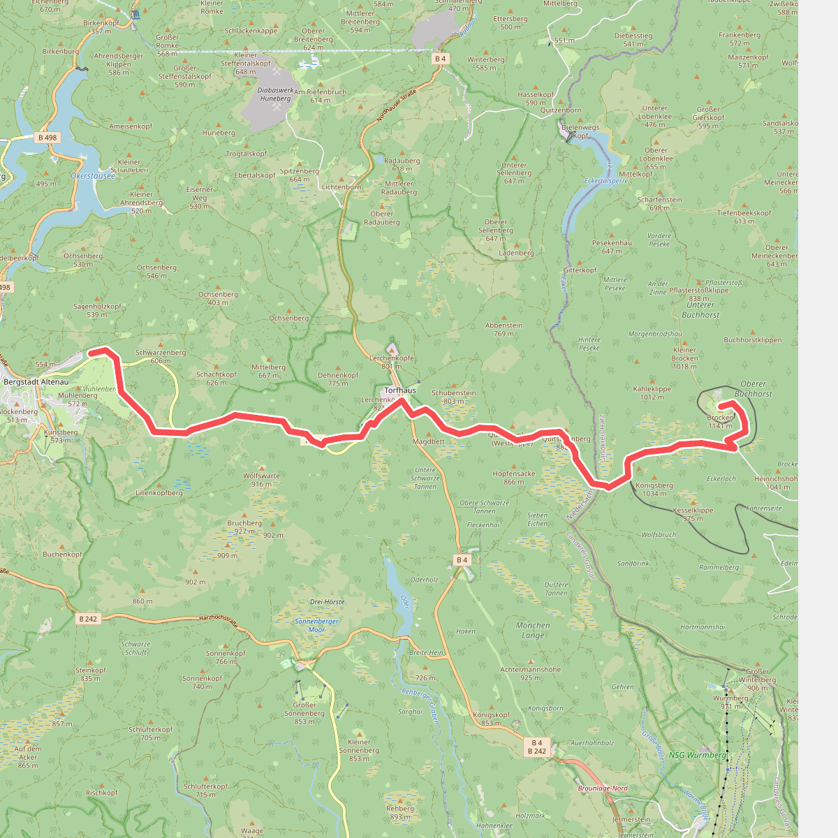
#11. Goetheweg