

The best hiking routes in Nationaal Park Hoge Kempen
Discover the best walks in Nationaal Park Hoge Kempen. 42 routes on the map, with descriptions, photos and GPX.
About Nationaal Park Hoge Kempen
Nationaal Park Hoge Kempen covers a vast, elevated gravel plateau in eastern Flanders, shaped by the ancient Meuse river and centuries of human activity. The landscape is dominated by dry heathland, purple-flowering common heather in August, and extensive pine forests planted on sandy soils. Unlike the flat polder clay of western Belgium, the terrain here is gently rolling, characterized by steep slopes along the eastern edge where the plateau drops down towards the Meuse valley. You will not find deep gorges or high mountain peaks, but rather a steady succession of low ridges and wide, open vistas over former industrial sites.
Read more
About Nationaal Park Hoge Kempen
Nationaal Park Hoge Kempen covers a vast, elevated gravel plateau in eastern Flanders, shaped by the ancient Meuse river and centuries of human activity. The landscape is dominated by dry heathland, purple-flowering common heather in August, and extensive pine forests planted on sandy soils. Unlike the flat polder clay of western Belgium, the terrain here is gently rolling, characterized by steep slopes along the eastern edge where the plateau drops down towards the Meuse valley. You will not find deep gorges or high mountain peaks, but rather a steady succession of low ridges and wide, open vistas over former industrial sites.
Read moreNationaal Park Hoge Kempen covers a vast, elevated gravel plateau in eastern Flanders, shaped by the ancient Meuse river and centuries of human activity. The landscape is dominated by dry heathland, purple-flowering common heather in August, and extensive pine forests planted on sandy soils. Unlike the flat polder clay of western Belgium, the terrain here is gently rolling, characterized by steep slopes along the eastern edge where the plateau drops down towards the Meuse valley. You will not find deep gorges or high mountain peaks, but rather a steady succession of low ridges and wide, open vistas over former industrial sites.
Walking conditions vary significantly depending on the path you choose. The higher plateau paths consist of dry, loose sand and gravelly soil that can feel soft underfoot, while the lower depressions often feature damp peat and wet heathland. In these wetter zones, particularly around the marshy fens, wooden boardwalks are laid out to keep your feet clear of the boggy ground. Wide, straight forestry tracks cut through the pine plantations, contrasting with the narrow, winding footpaths that climb the old coal mining spoil tips.
These artificial hills, or slag heaps, are a distinct feature of the park, offering steep climbs on loose shale. From their summits, the view reveals how the forest has reclaimed the industrial past. The park is highly accessible with multiple designated entry gateways, meaning the areas closest to these hubs are often busier with families and cyclists, while the deeper pine woods and remote heath tracts offer a much quieter walking experience.
Hiking routes in Nationaal Park Hoge Kempen (42)
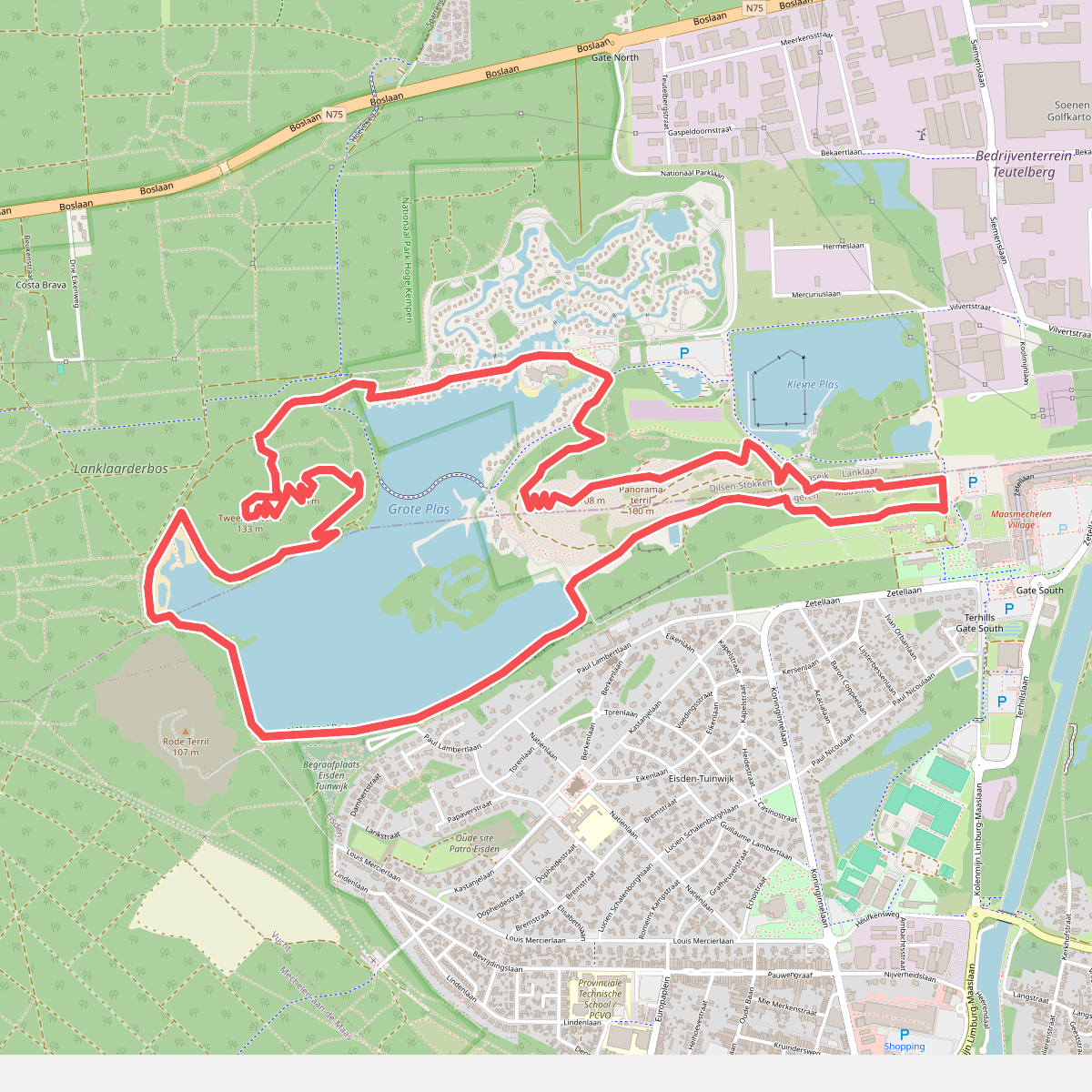
#1. Terhills paarse route
Maasmechelen,Dilsen-Stokkem
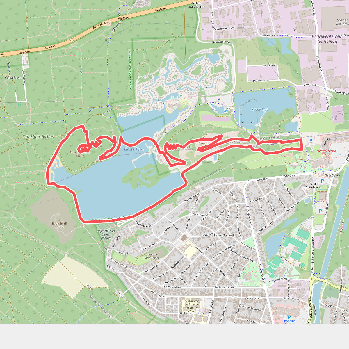
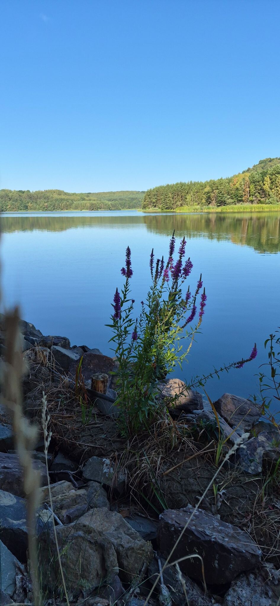
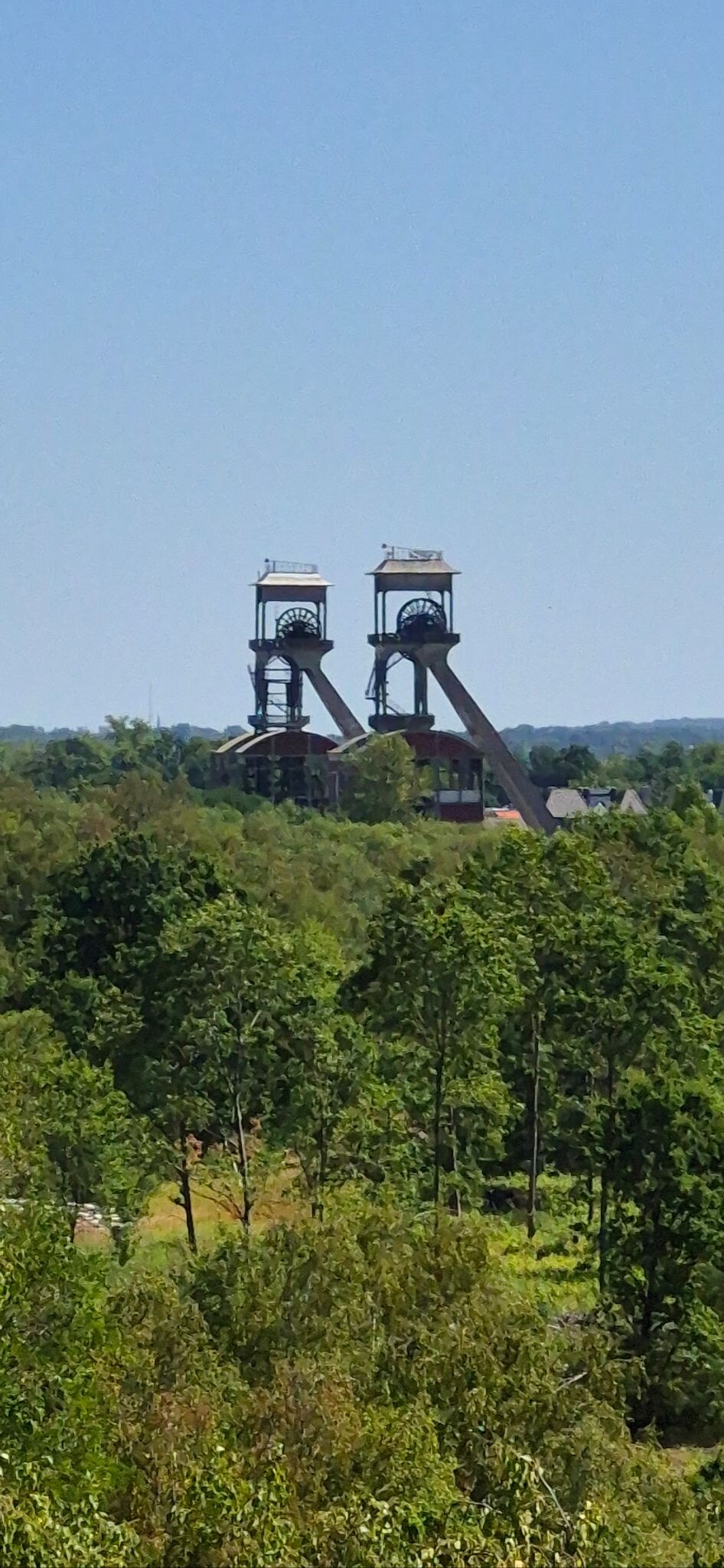
#2. Top trail terhills (rood) Dilsen-Stokkem/Maasmechelen
Maasmechelen,Lanklaar
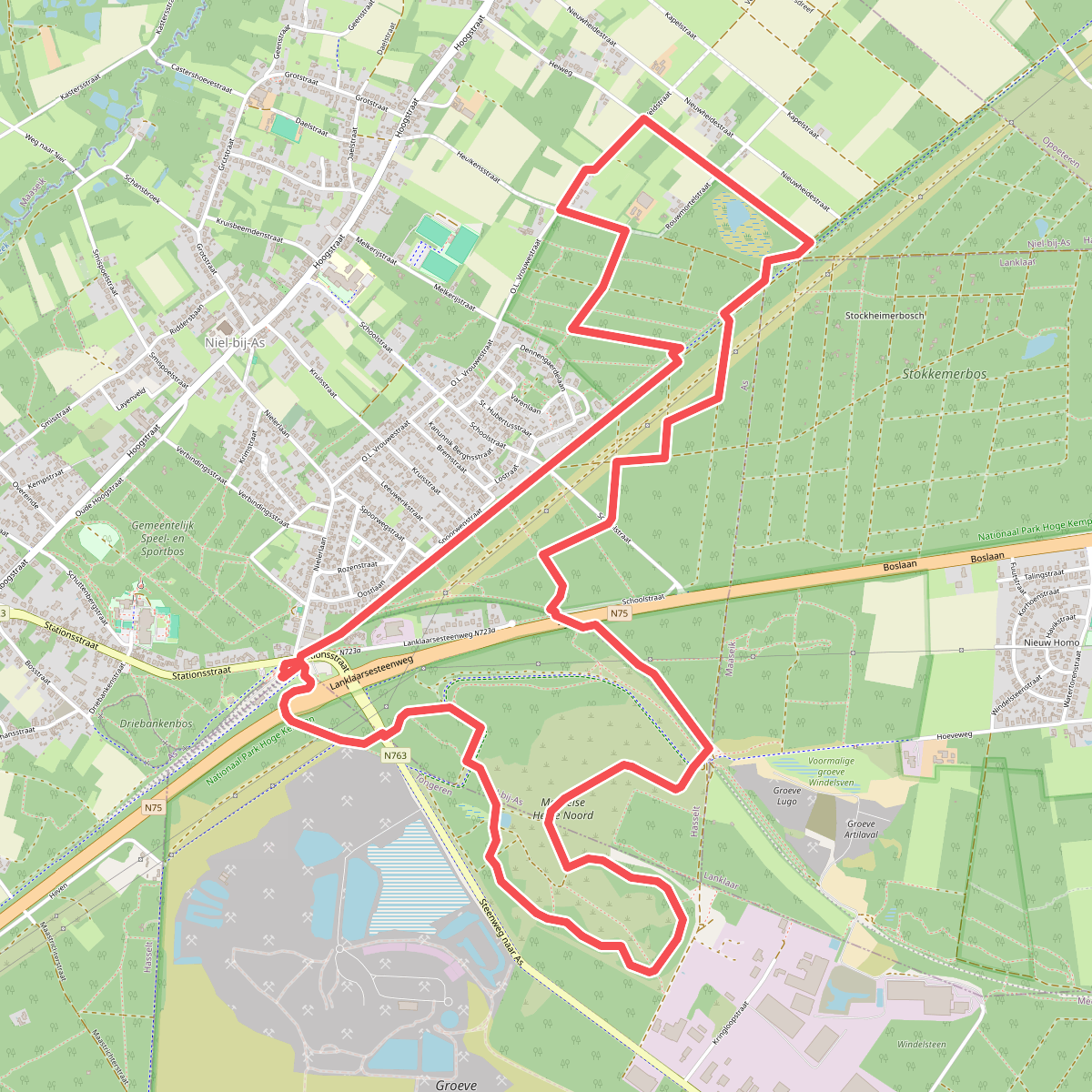
#3. As geel
Niel-bij-As
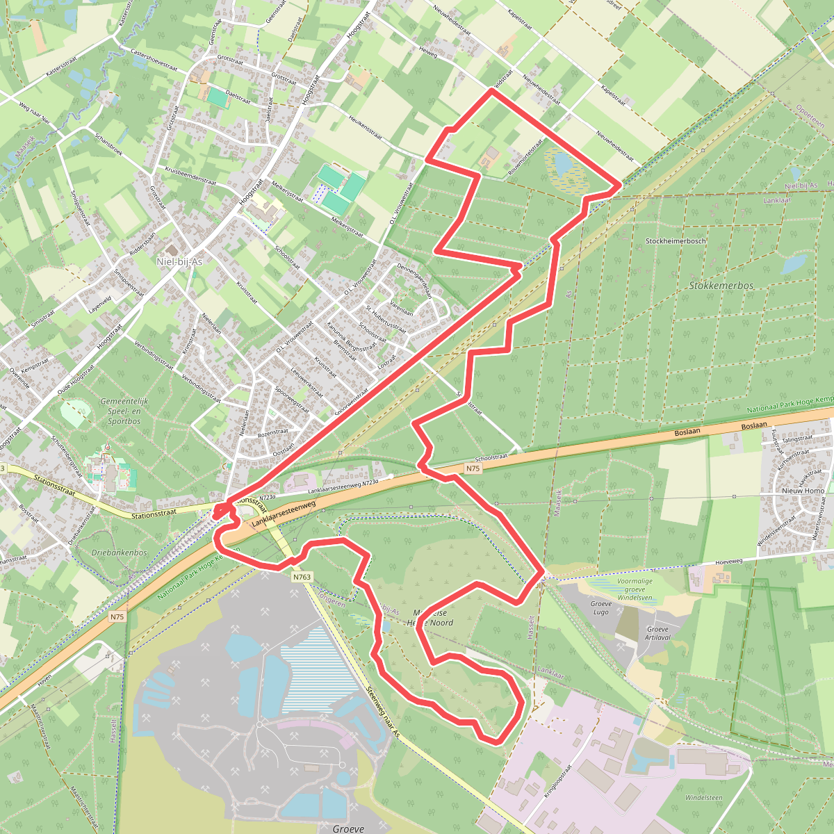
#4. As paars
Niel-bij-As
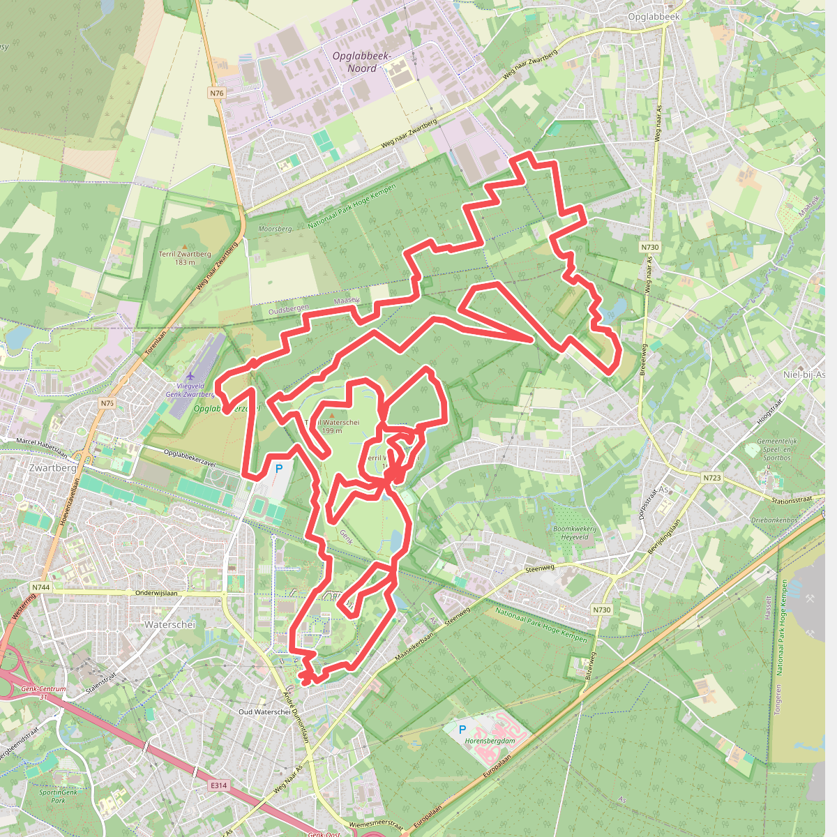
#5. Coalminers summer walk 26
Genk,As,Opglabbeek
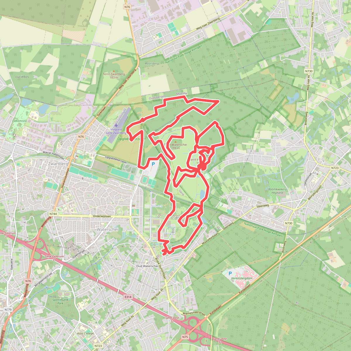
#6. Coalminers walk 26 21km
Genk,As
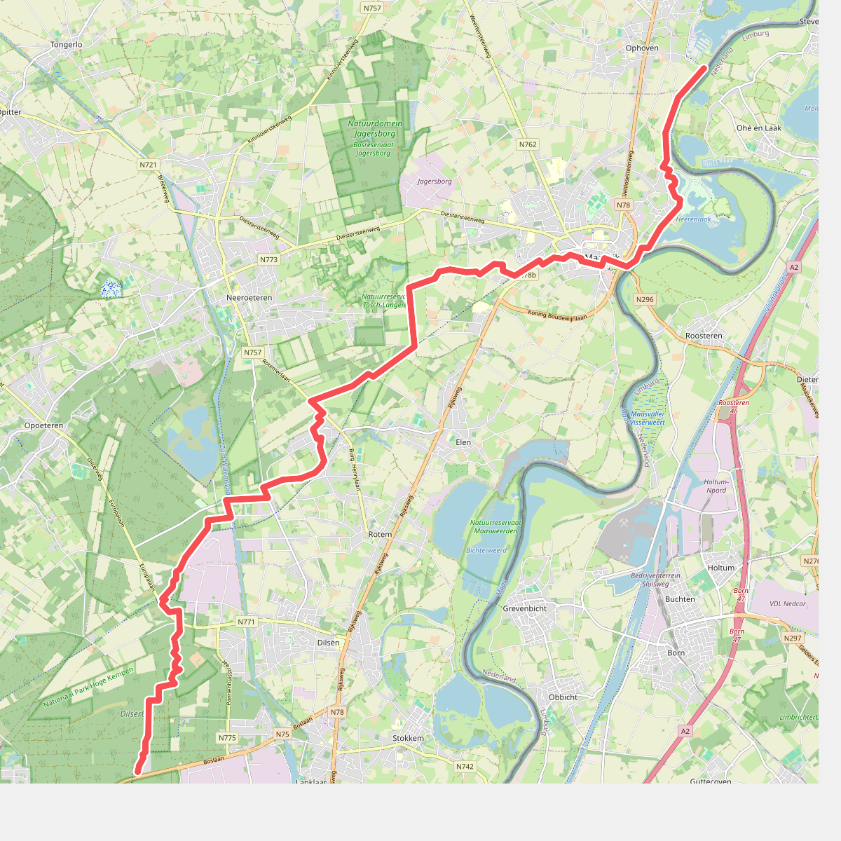
#7. Dilserbos - Ophoven · Rondje Limburg etappe 3
Ohé en Laak,Roosteren
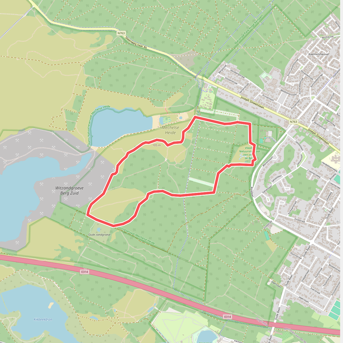
#8. Door Mechelse Heide (Blauwe lus)
Maasmechelen
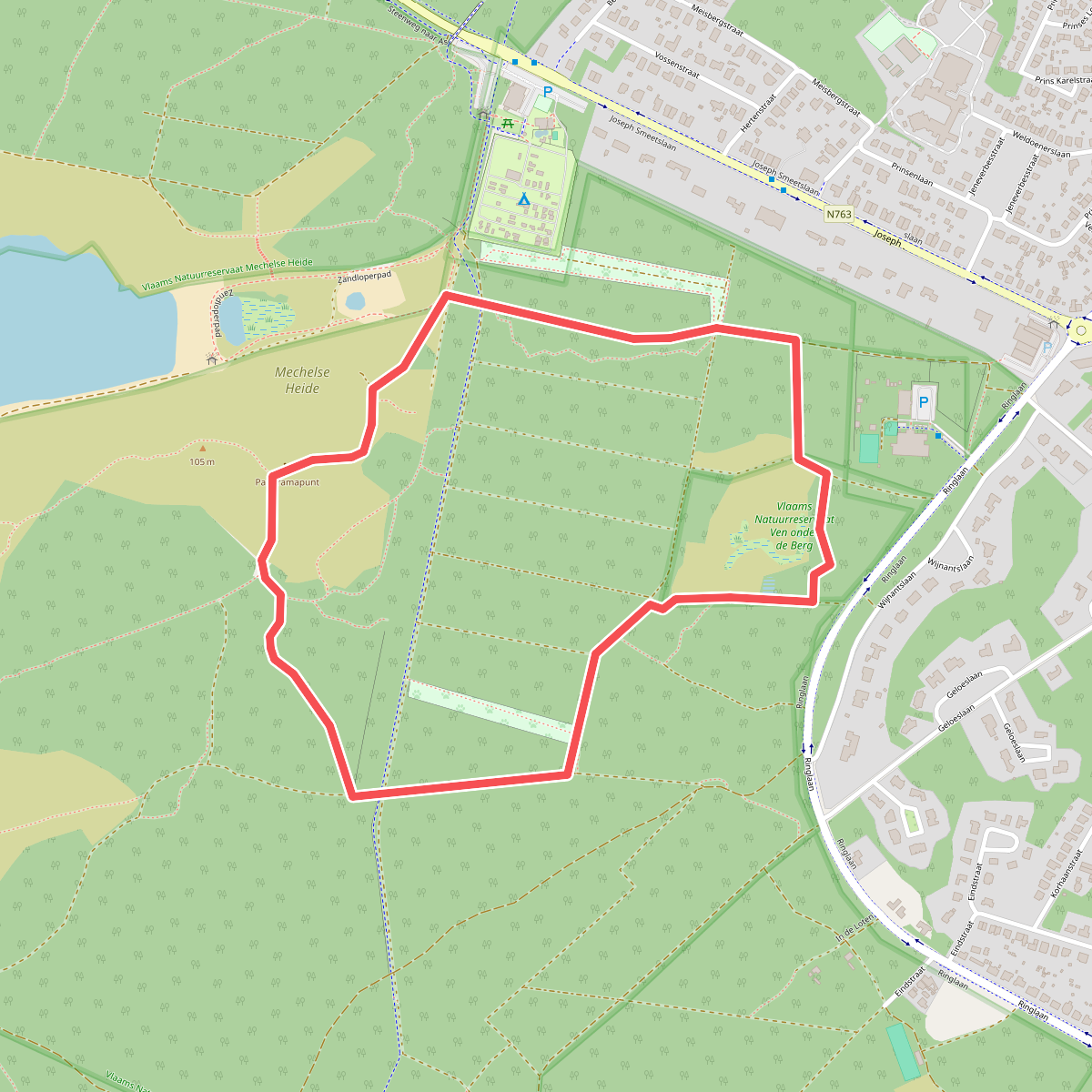
#9. Door Mechelse Heide (Groene lus)
Maasmechelen
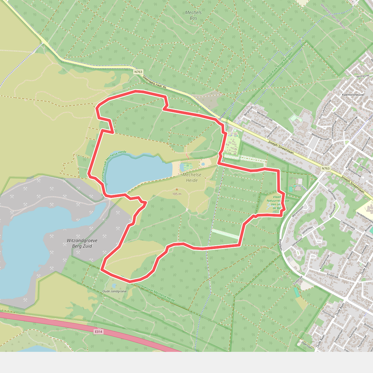
#10. Door Mechelse Heide (Rode lus)
Maasmechelen
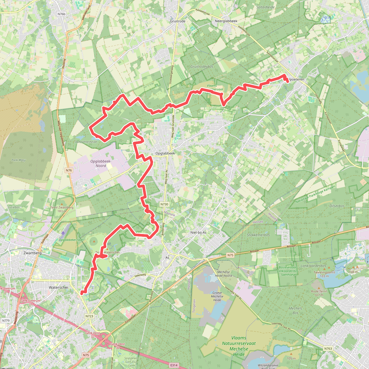
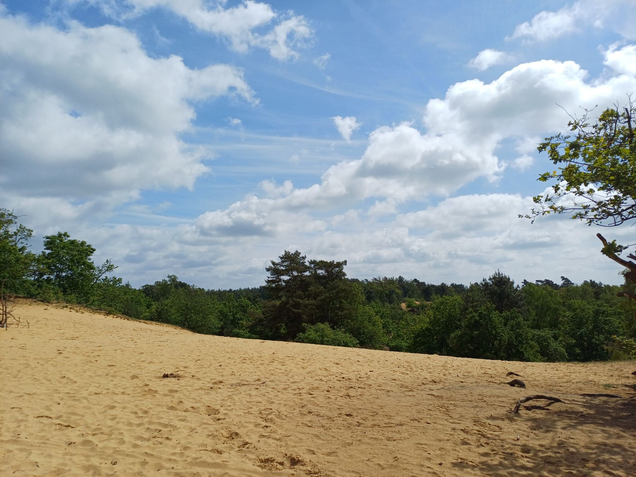
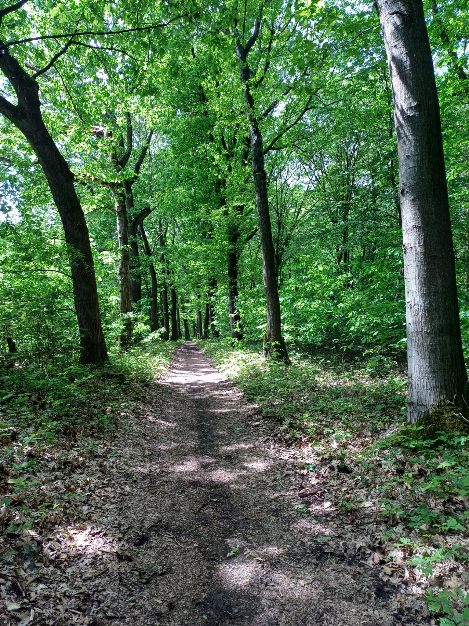
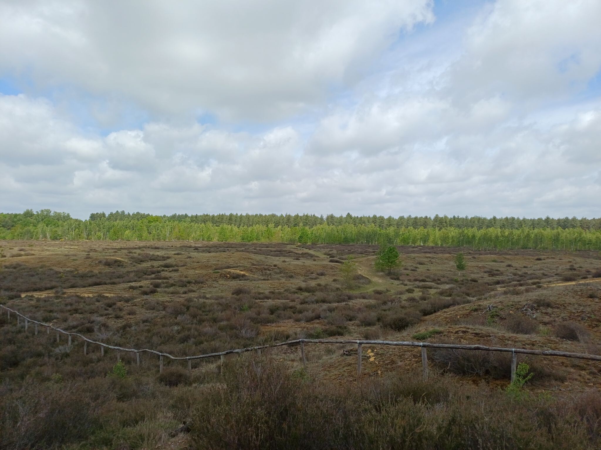
#11. Duinengordel - Thorpark · Nationaal park Hoge Kempen etappe 4
Genk,As,Oudsbergen,Maaseik
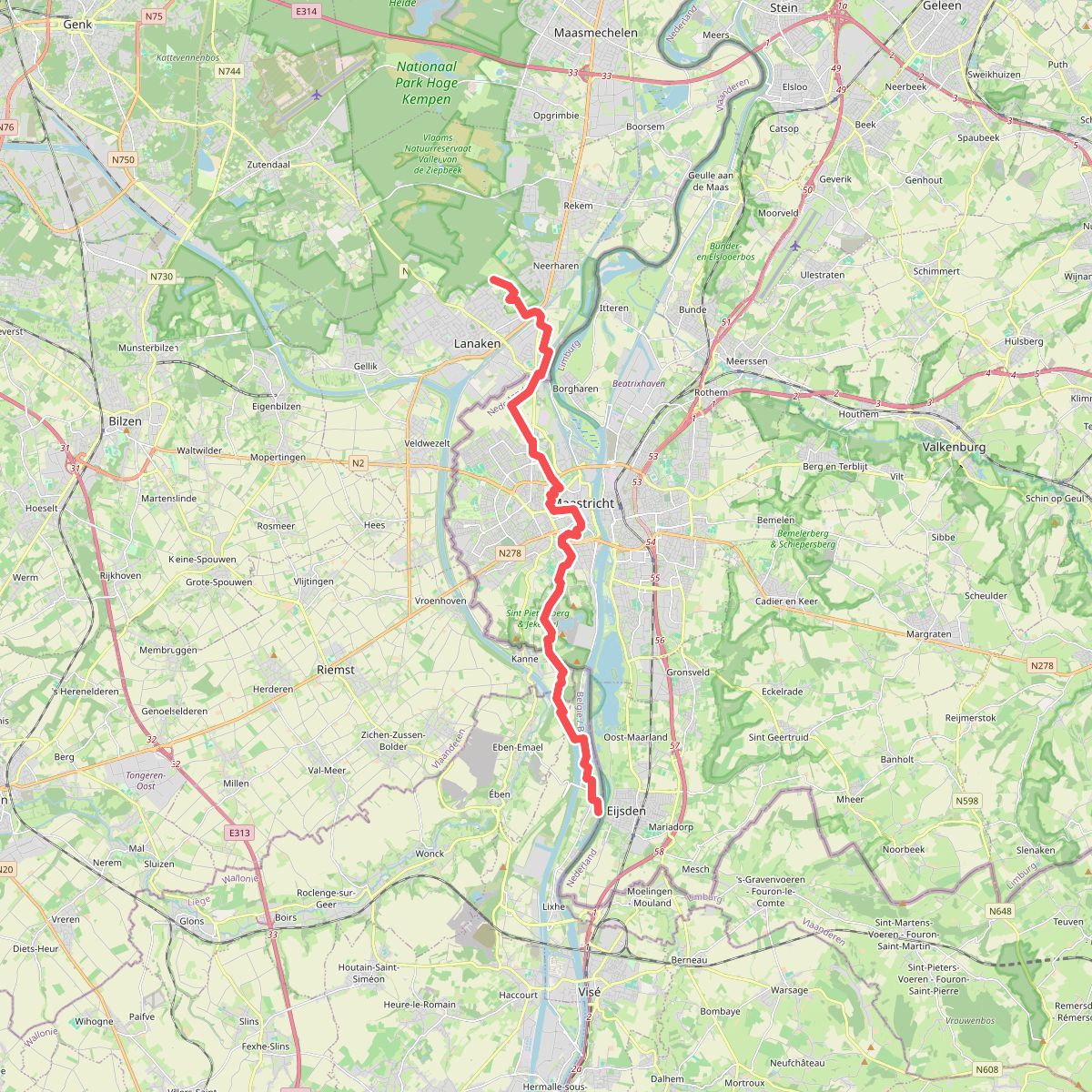
#12. Eijsden - Pietersheim · Rondje Limburg etappe 1
Maastricht,Eijsden



