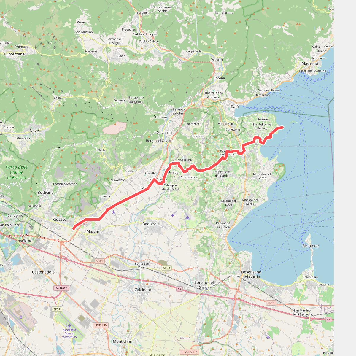
The best hiking routes in Monumento Naturale Altopiano di Cariadeghe
Discover the best walks in Monumento Naturale Altopiano di Cariadeghe. 11 routes on the map, with descriptions, photos and GPX.
Managed by Consorzio per la Gestione del Monumento Naturale Altopiano di Cariadeghe
About Monumento Naturale Altopiano di Cariadeghe
The Monumento Naturale Altopiano di Cariadeghe is a limestone plateau characterized by intense karst topography. Instead of the dramatic ridges or deep river valleys found elsewhere in the Prealps, this landscape is defined by a dense network of sinkholes, known locally as dolines, and deep vertical shafts. The terrain is heavily forested, primarily with beech and hornbeam trees, which grow directly out of the rocky, uneven ground. Walking here means navigating a labyrinth of depressions and limestone outcrops rather than climbing to open peaks.
Read more
About Monumento Naturale Altopiano di Cariadeghe
The Monumento Naturale Altopiano di Cariadeghe is a limestone plateau characterized by intense karst topography. Instead of the dramatic ridges or deep river valleys found elsewhere in the Prealps, this landscape is defined by a dense network of sinkholes, known locally as dolines, and deep vertical shafts. The terrain is heavily forested, primarily with beech and hornbeam trees, which grow directly out of the rocky, uneven ground. Walking here means navigating a labyrinth of depressions and limestone outcrops rather than climbing to open peaks.
Read moreThe Monumento Naturale Altopiano di Cariadeghe is a limestone plateau characterized by intense karst topography. Instead of the dramatic ridges or deep river valleys found elsewhere in the Prealps, this landscape is defined by a dense network of sinkholes, known locally as dolines, and deep vertical shafts. The terrain is heavily forested, primarily with beech and hornbeam trees, which grow directly out of the rocky, uneven ground. Walking here means navigating a labyrinth of depressions and limestone outcrops rather than climbing to open peaks.
Underfoot, the paths alternate between soft forest loam, leaf litter, and sharp, exposed limestone rocks. The karst geology means surface water is virtually non-existent, as rain quickly drains into the subterranean cave systems. You will notice how the vegetation changes near the bottom of the larger dolines, where cooler, damp air pools, creating microclimates that support different mosses and ferns compared to the drier upper rims.
While the plateau is relatively compact, the lack of distant views through the dense canopy makes careful navigation essential. The paths are often uneven and require constant attention to placement due to loose stones and hidden crevices. It is a landscape of close-up geological details, where the interest lies in the sheer density of the sinkholes and the quiet, enclosed feel of the woodland.
Hiking routes in Monumento Naturale Altopiano di Cariadeghe (11)
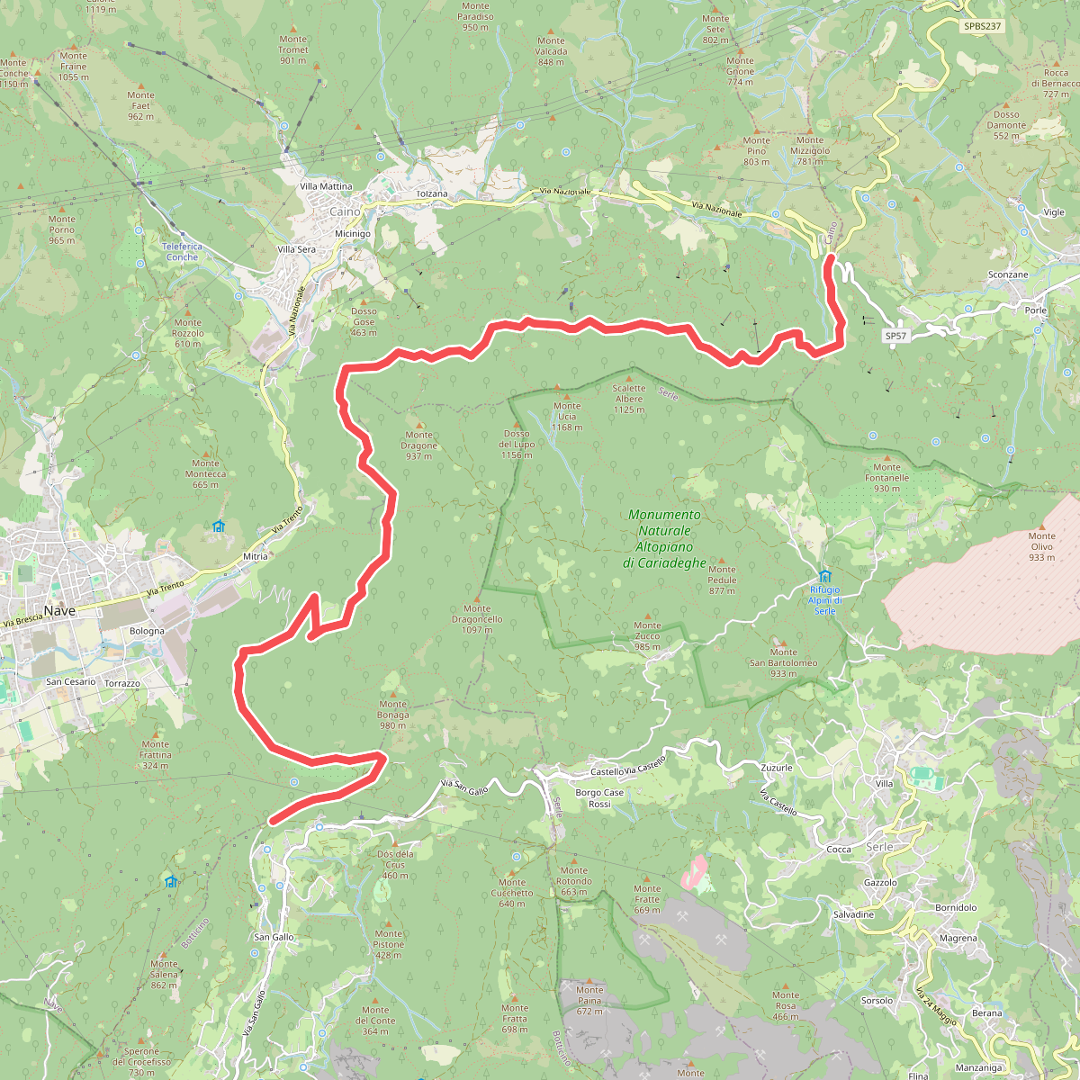
#1. Sentér Bandìt
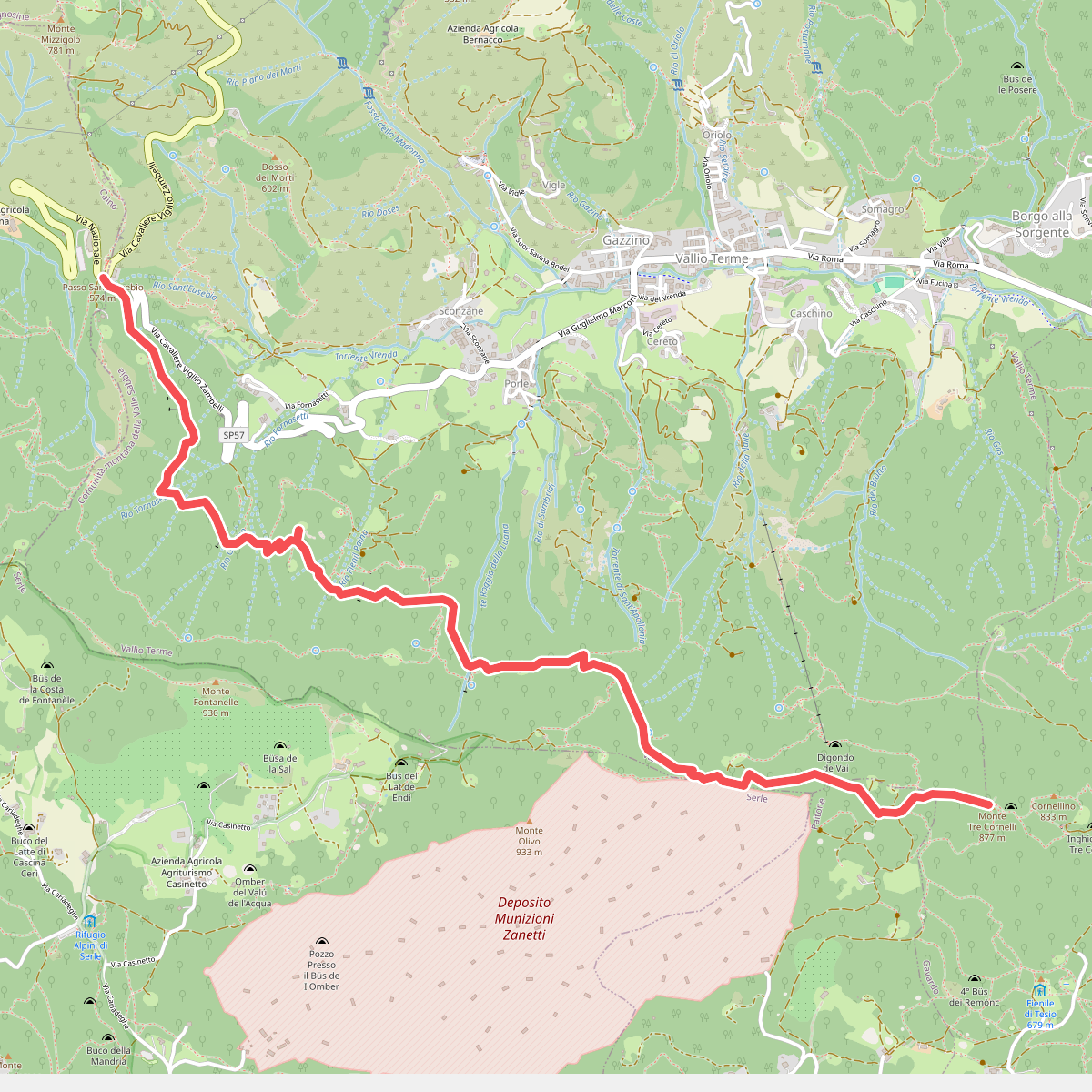
#2. Sentér de mès
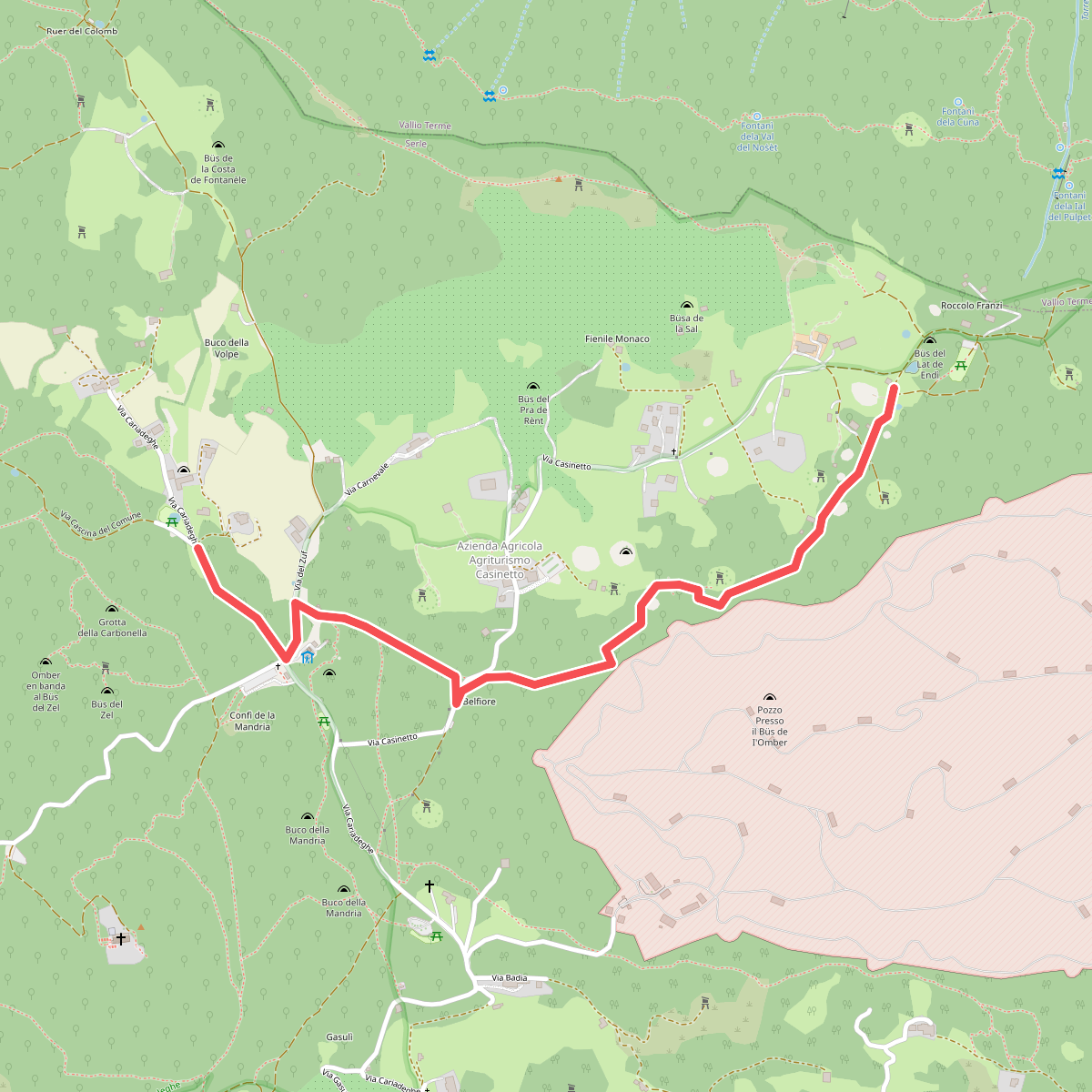
#3. Sentiero del Büs del Lat
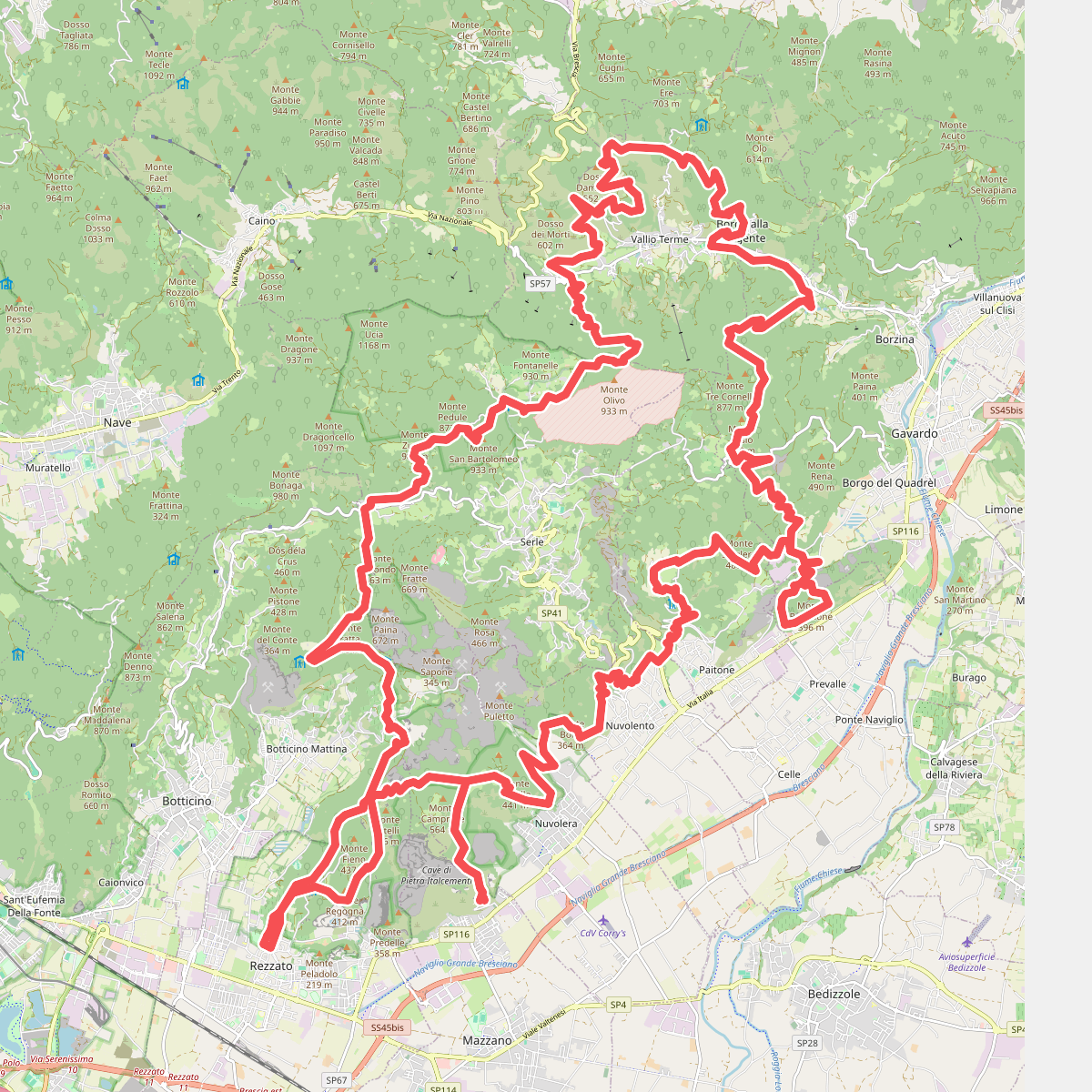
#4. Sentiero del Carso Bresciano
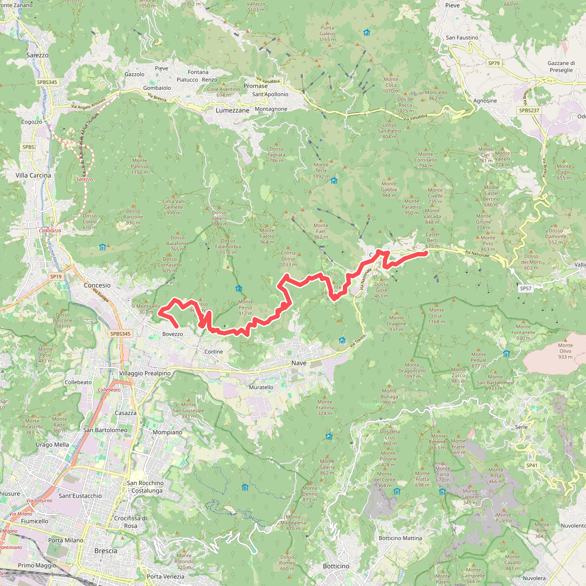
#5. Sentiero del Marrone
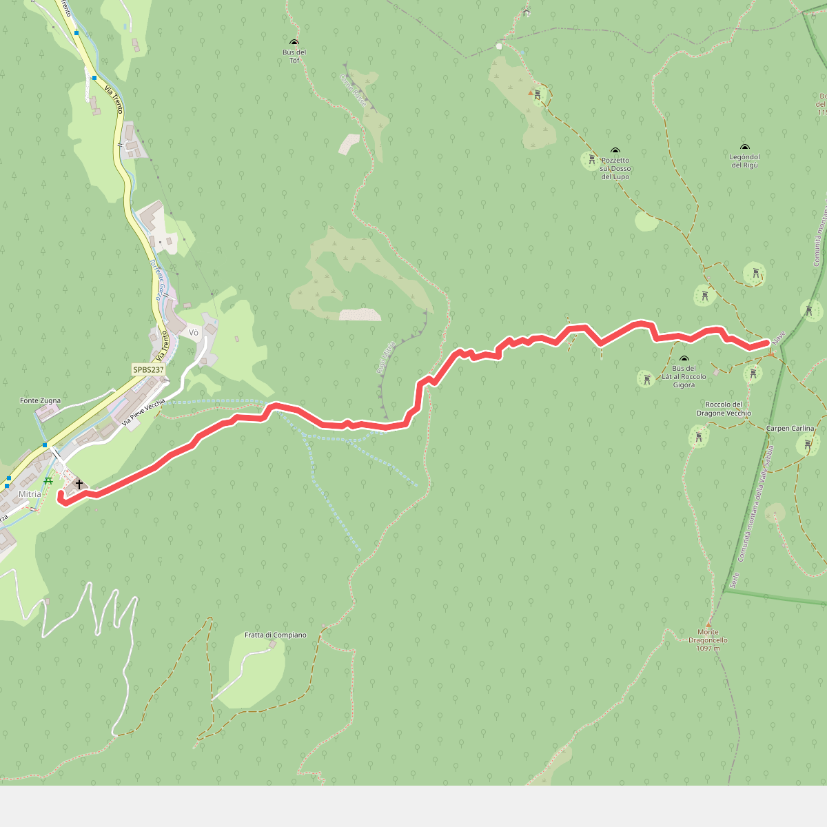
#6. Sentiero della dieta
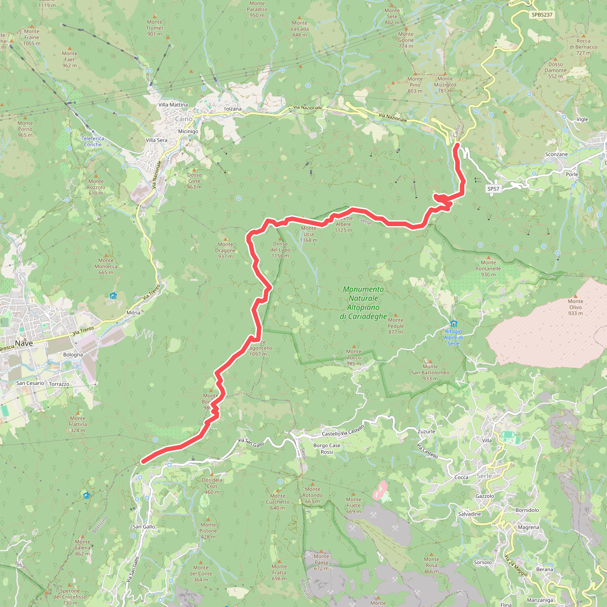
#7. Sentiero Donna - Guarneri
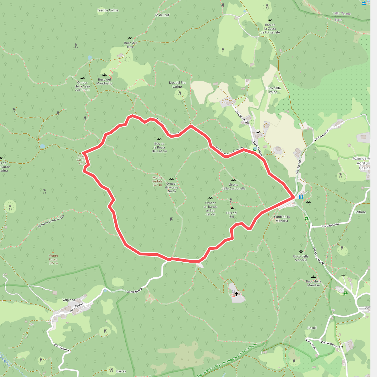
#8. Serle (Grotta della Carbonella) - Büs de la Pocia
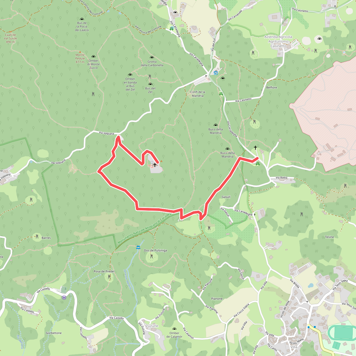
#9. Serle (Parcheggio dei Fanti) - Monastero di San Bartolomeo
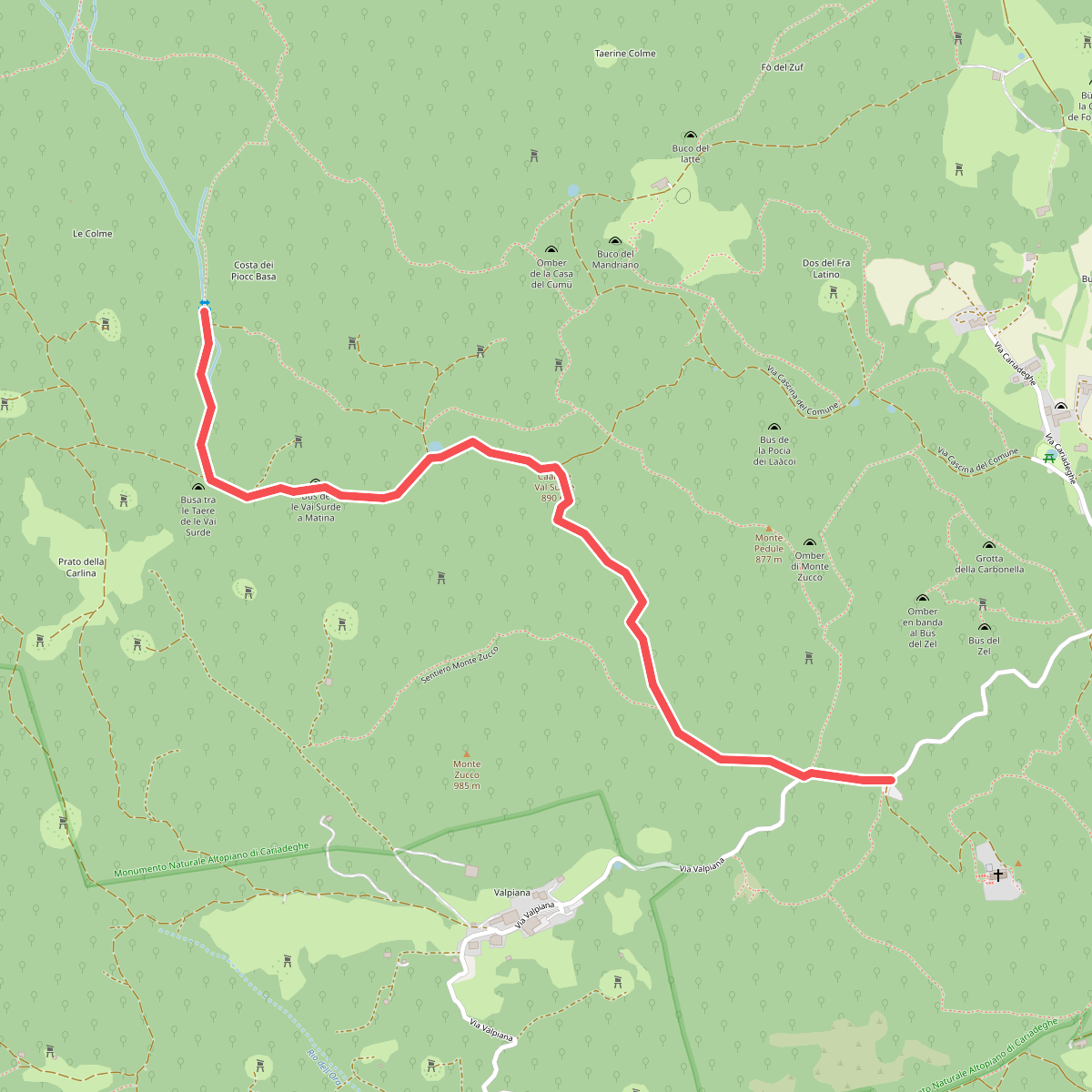
#10. Serle (Santuario di San Bartolomeo) - Monte Ucia