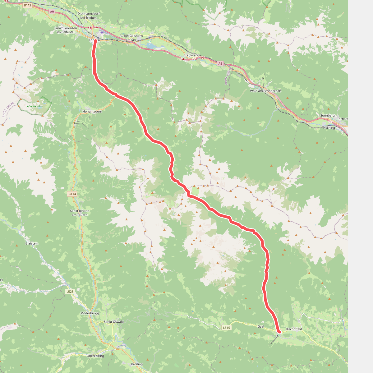
The best hiking routes in Hochlagen der östlichen Wölzer Tauern und Seckauer Alpen
Discover the best walks in Hochlagen der östlichen Wölzer Tauern und Seckauer Alpen. 1 routes on the map, with descriptions, photos and GPX.
About Hochlagen der östlichen Wölzer Tauern und Seckauer Alpen
The Hochlagen der östlichen Wölzer Tauern und Seckauer Alpen offers a high-altitude walking experience defined by rounded, grass-covered ridges and broad cirques rather than sharp, jagged limestone peaks. This crystalline mountain range is characterized by vast alpine meadows, scree slopes, and small, cold tarns tucked into glacial hollows. Walkers will notice a distinct contrast between the dry, wind-exposed ridges dominated by dwarf shrub heaths and the wetter, peat-filled depressions where cotton grass thrives.
Read more
About Hochlagen der östlichen Wölzer Tauern und Seckauer Alpen
The Hochlagen der östlichen Wölzer Tauern und Seckauer Alpen offers a high-altitude walking experience defined by rounded, grass-covered ridges and broad cirques rather than sharp, jagged limestone peaks. This crystalline mountain range is characterized by vast alpine meadows, scree slopes, and small, cold tarns tucked into glacial hollows. Walkers will notice a distinct contrast between the dry, wind-exposed ridges dominated by dwarf shrub heaths and the wetter, peat-filled depressions where cotton grass thrives.
Read moreThe Hochlagen der östlichen Wölzer Tauern und Seckauer Alpen offers a high-altitude walking experience defined by rounded, grass-covered ridges and broad cirques rather than sharp, jagged limestone peaks. This crystalline mountain range is characterized by vast alpine meadows, scree slopes, and small, cold tarns tucked into glacial hollows. Walkers will notice a distinct contrast between the dry, wind-exposed ridges dominated by dwarf shrub heaths and the wetter, peat-filled depressions where cotton grass thrives.
Underfoot, the terrain consists mostly of narrow, stony singletracks, natural soil paths, and sections of loose granite scree. There are no paved promenades or extensive boardwalks here. Waymarking is present on the main routes, but the open, treeless landscape above the treeline requires basic navigation skills, especially when low cloud clings to the ridges. The ascents are steady and long, leading to broad summits that feel more like elevated plateaus than sharp needles.
By late September, the blueberry bushes and grasses turn a deep rust-red, signaling the end of the summer grazing season when the cattle are cleared from the high pastures. This area is generally quieter than the nearby limestone massifs to the north, attracting those who prefer long, solitary ridge walks over assisted climbing routes or cable-car tourism. You will find few mountain huts directly on the high ridges, meaning walkers must carry their own provisions for the day.