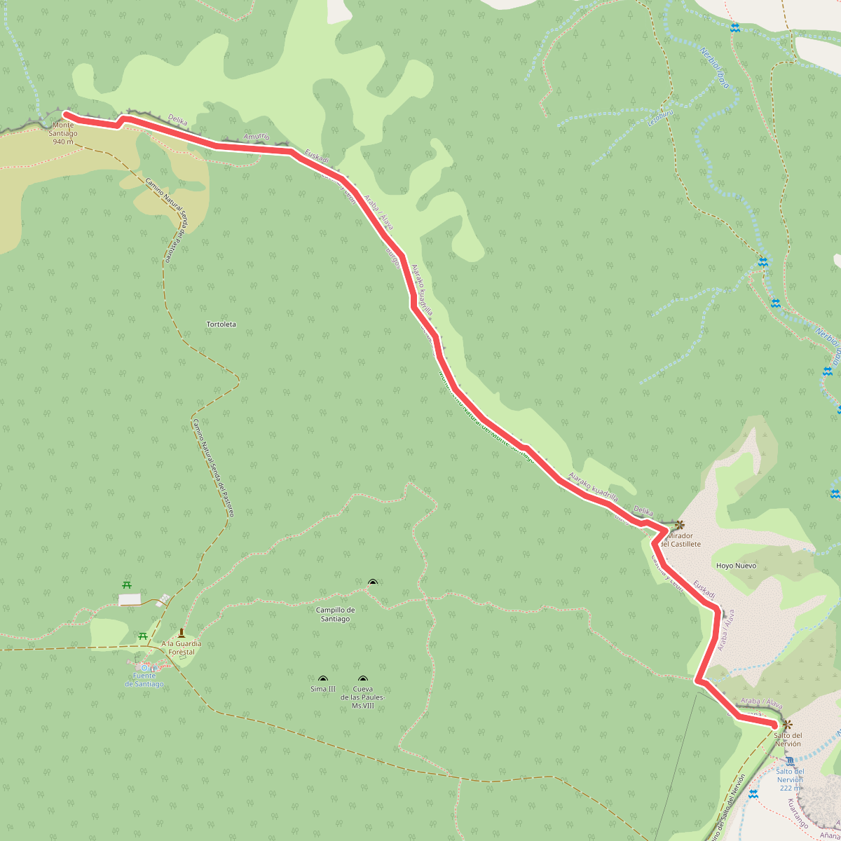
The best hiking routes in Gorobel mendilerroa BBE
Discover the best walks in Gorobel mendilerroa BBE. 11 routes on the map, with descriptions, photos and GPX.
About Gorobel mendilerroa BBE
Gorobel mendilerroa BBE, also known as the Sierra de Salvada, is a striking limestone escarpment that rises abruptly above the Atlantic valleys of the Basque Country. For walkers, this area is defined by a sharp contrast between the sheer, vertical rock cliffs facing north and the gently sloping, grassy pastures that tilt southward. The landscape is highly open and exposed, characterized by high-altitude karst formations, limestone pavements, and wide mountain pastures where livestock graze during the summer months.
Read more
About Gorobel mendilerroa BBE
Gorobel mendilerroa BBE, also known as the Sierra de Salvada, is a striking limestone escarpment that rises abruptly above the Atlantic valleys of the Basque Country. For walkers, this area is defined by a sharp contrast between the sheer, vertical rock cliffs facing north and the gently sloping, grassy pastures that tilt southward. The landscape is highly open and exposed, characterized by high-altitude karst formations, limestone pavements, and wide mountain pastures where livestock graze during the summer months.
Read moreGorobel mendilerroa BBE, also known as the Sierra de Salvada, is a striking limestone escarpment that rises abruptly above the Atlantic valleys of the Basque Country. For walkers, this area is defined by a sharp contrast between the sheer, vertical rock cliffs facing north and the gently sloping, grassy pastures that tilt southward. The landscape is highly open and exposed, characterized by high-altitude karst formations, limestone pavements, and wide mountain pastures where livestock graze during the summer months.
Underfoot, the terrain consists mostly of stony, uneven limestone tracks, grassy paths, and occasional muddy sections through the mountain passes. Walkers should expect steady, steep climbs to reach the upper plateau, followed by relatively level walking along the cliff edges. Unlike the deep, forested valleys below, the top of the range is largely treeless, dominated by low alpine scrub and bare rock, with natural viewpoints overlooking the Orduña valley.
This area is best suited for those who appreciate rugged, high-altitude walking without the need for technical climbing. The paths are generally quiet, though the areas near the main passes like Portillo de Angulo or the Txarlazo monument see more foot traffic. In late spring, particularly around May, the limestone meadows are filled with flowering mountain flora, making it a distinct landscape compared to the wetter, forested hills nearby.
Hiking routes in Gorobel mendilerroa BBE (11)
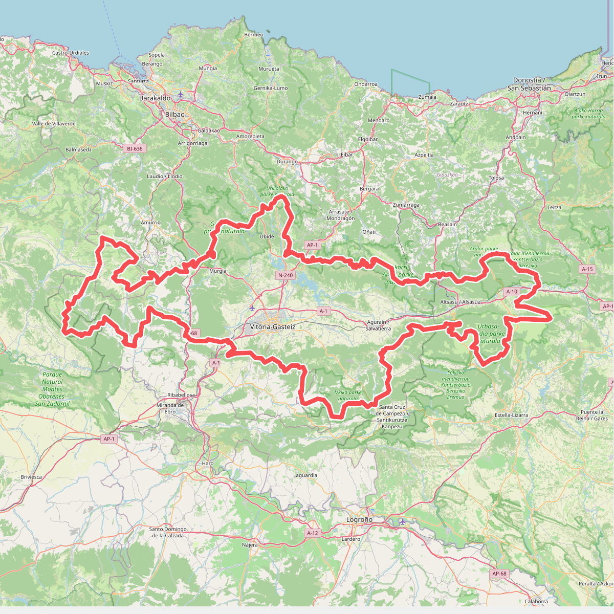
#1. Artzaintza naturbidea
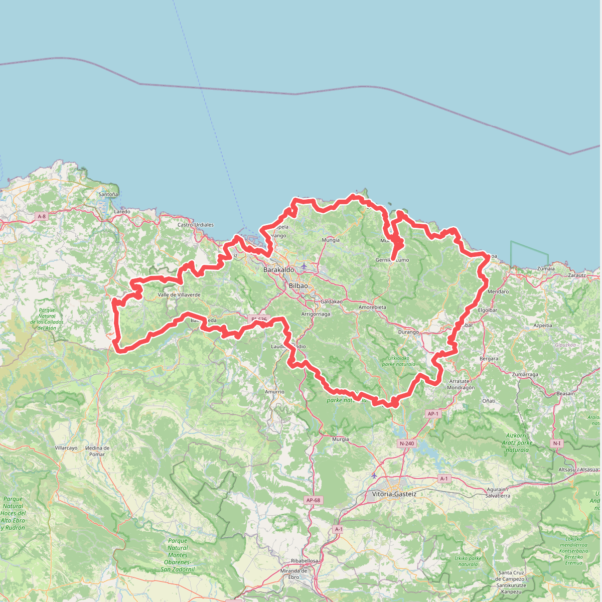
#2. Bizkaiko bira
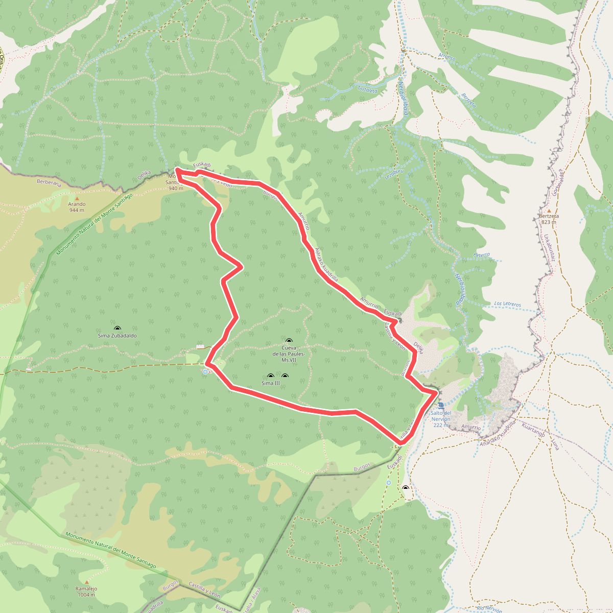
#3. Circular de los Miradores
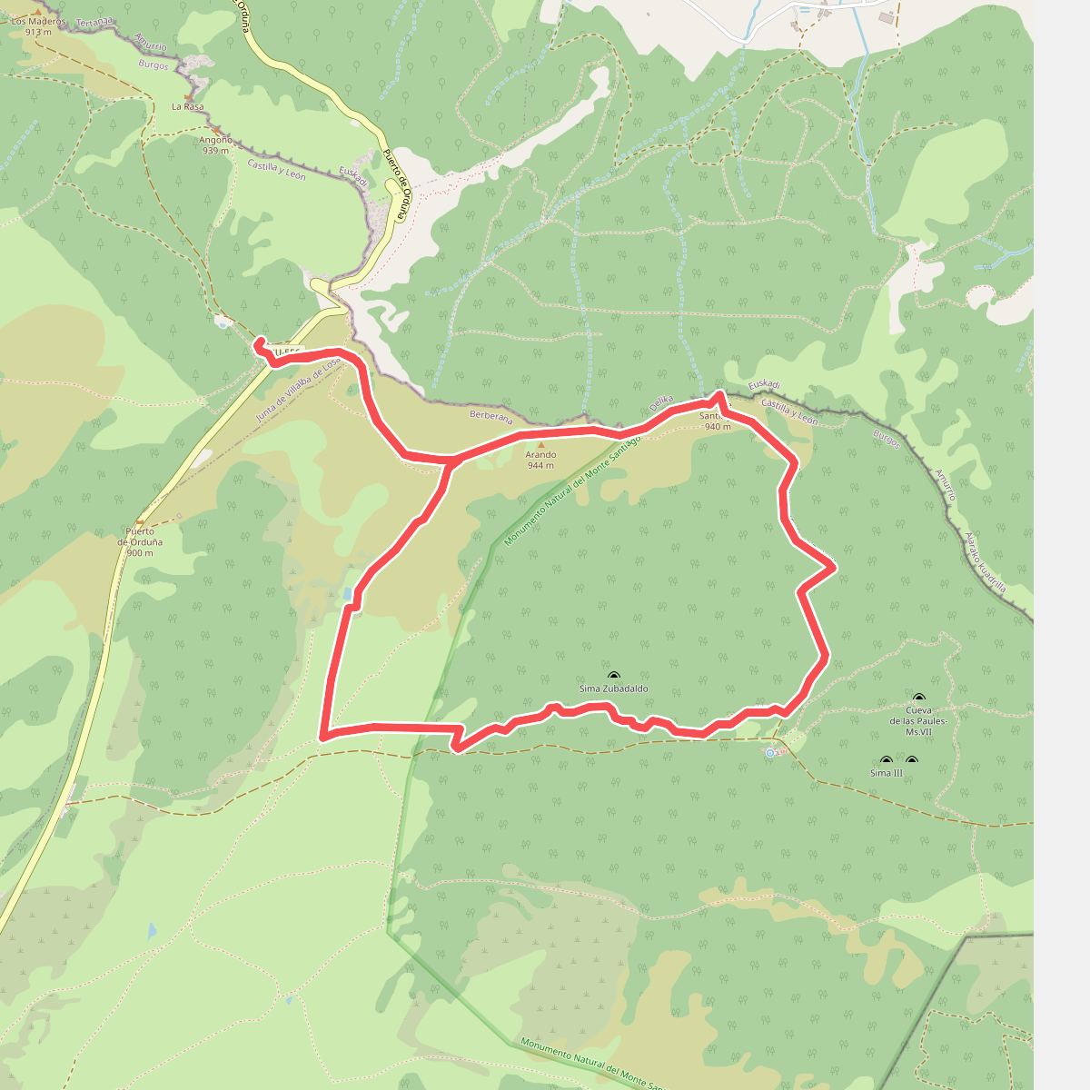
#4. Circular de los usos humanos
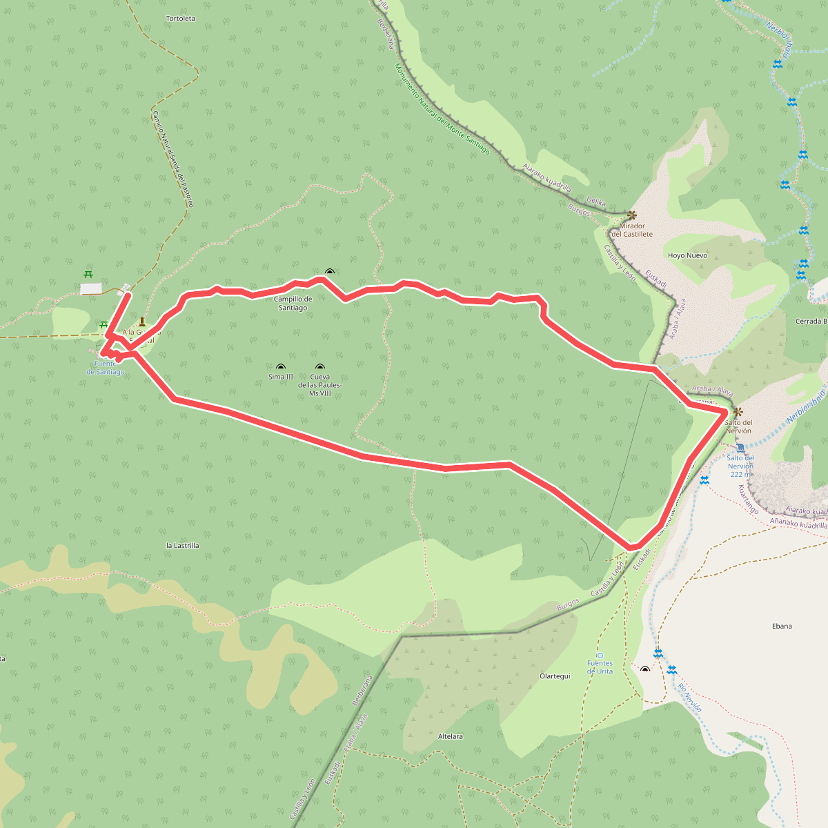
#5. Circular del Karst
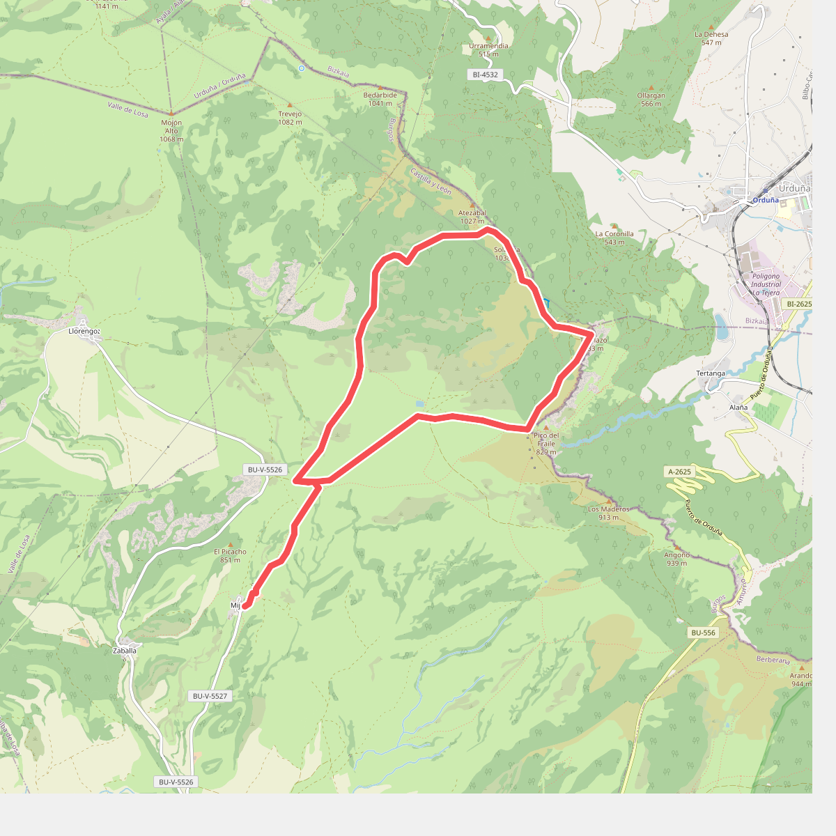
#6. Dehesa del agua
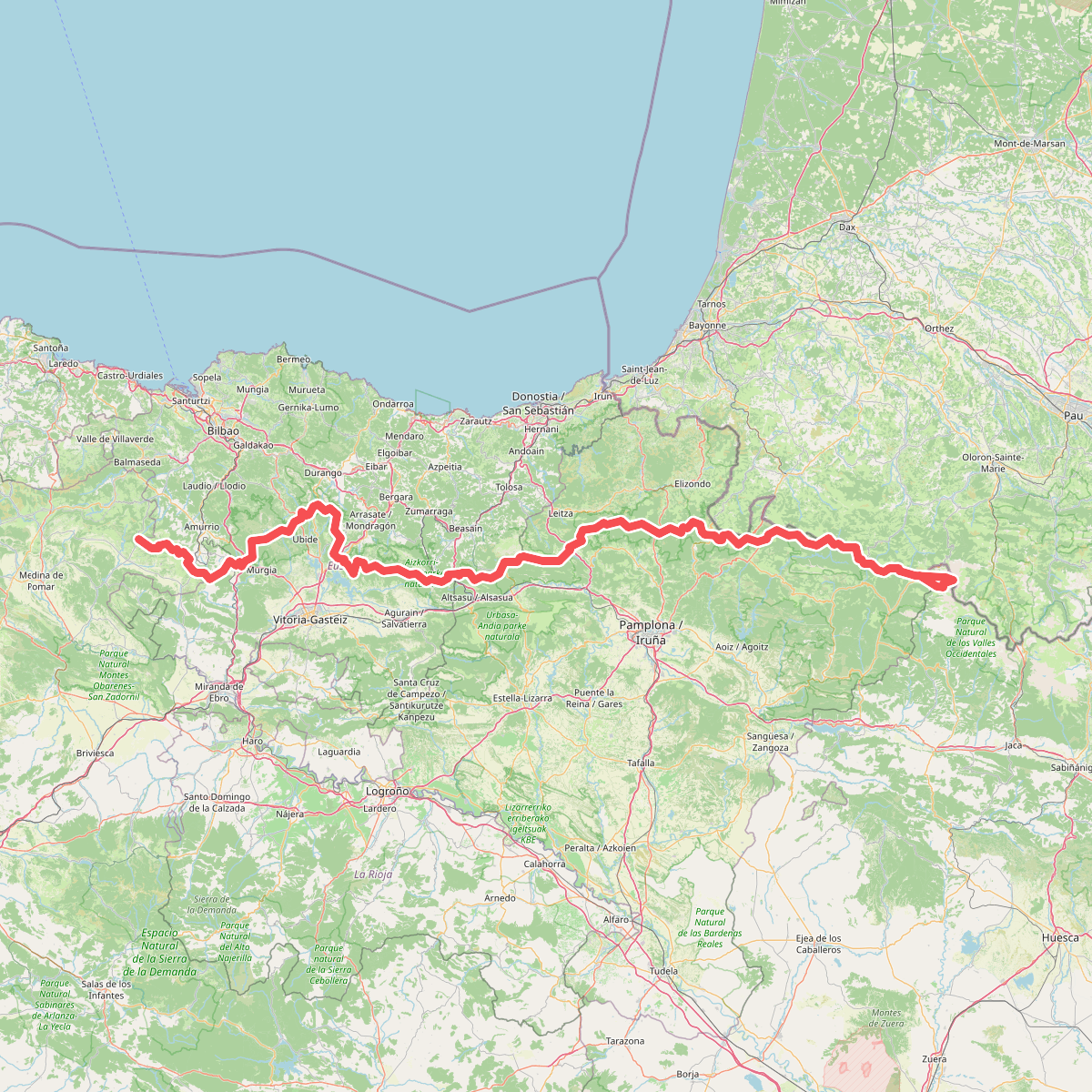
#7. Euskal Herriko ibilaldia
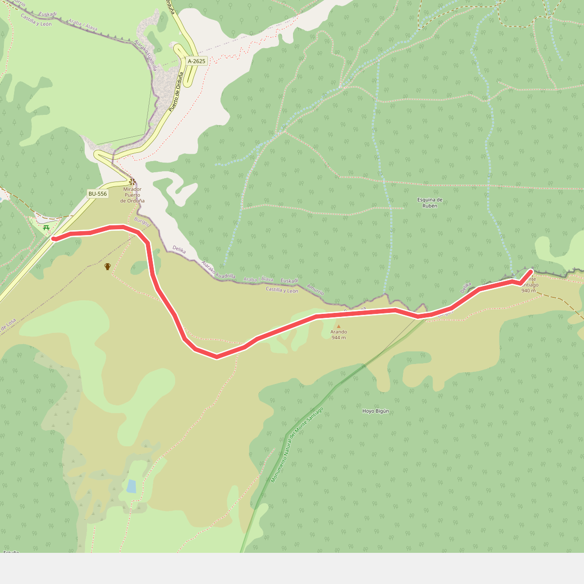
#8. Puerto de Orduña
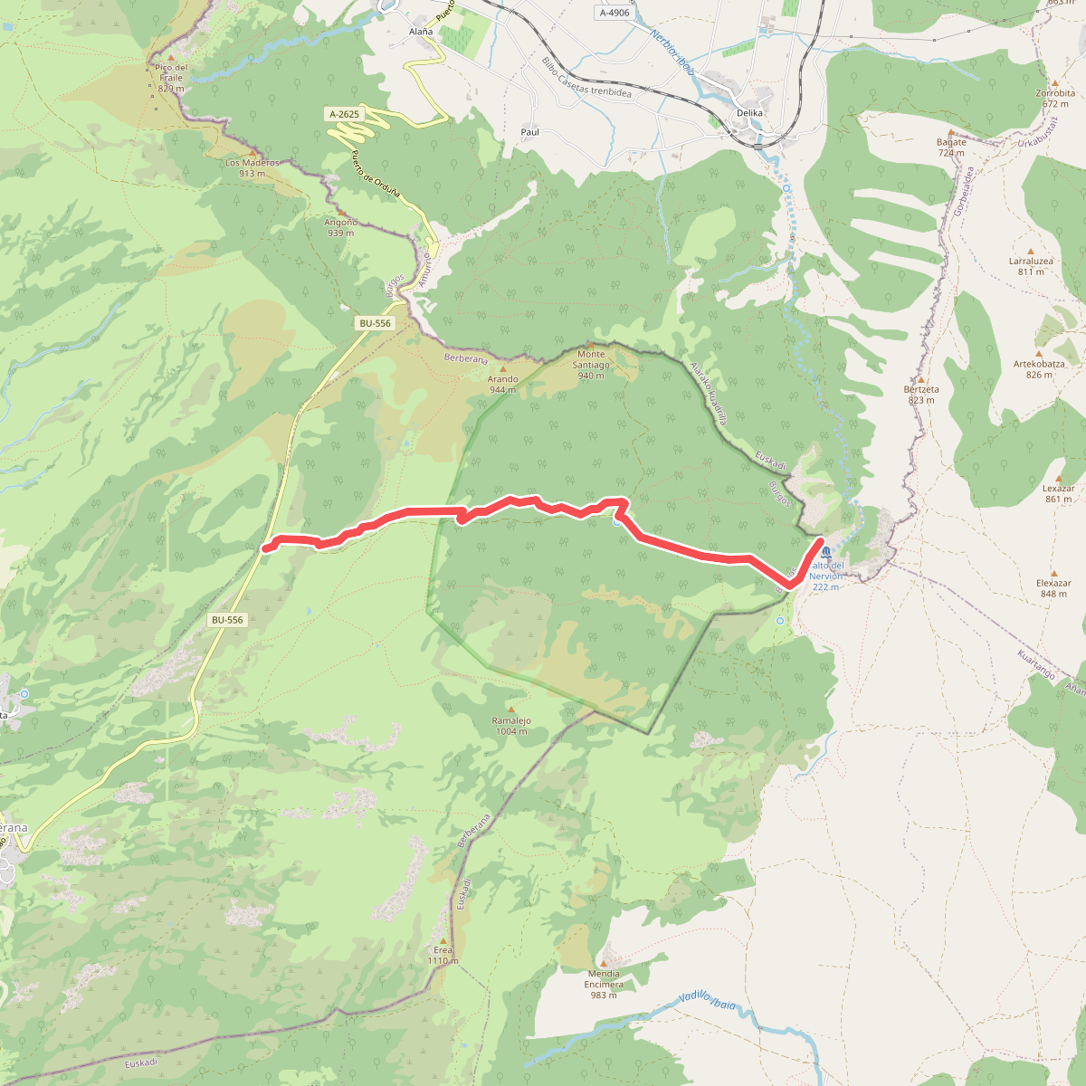
#9. Salto del Nervión
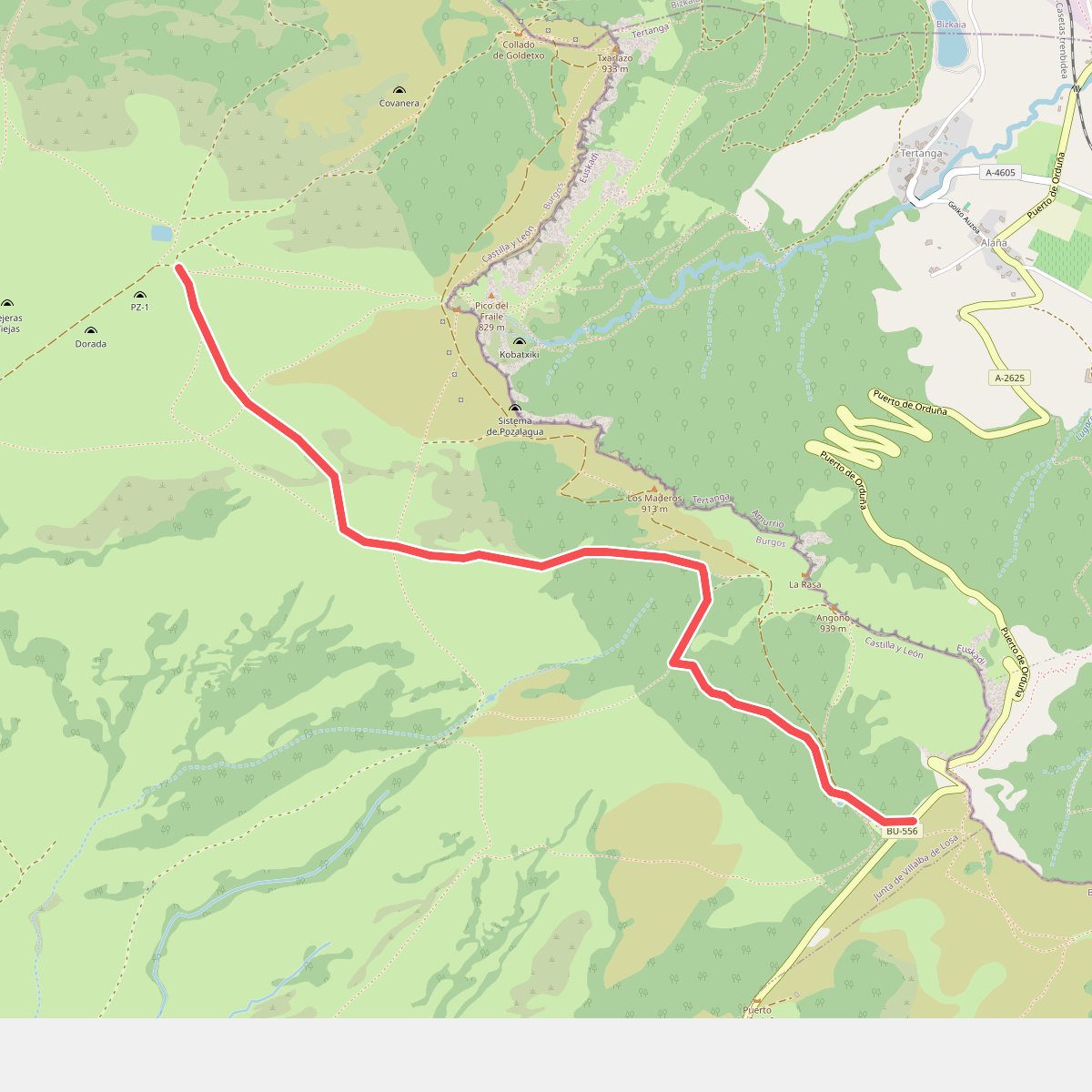
#10. Senda de Pozolagua