

The best hiking routes in FFH Muldetal bei Aue
Discover the best walks in FFH Muldetal bei Aue. 27 routes on the map, with descriptions, photos and GPX.
About FFH Muldetal bei Aue
The FFH Muldetal bei Aue covers a steep-sided river valley shaped by the Zwickauer Mulde. Unlike flatter agricultural plains nearby, this area is characterized by dense, rocky hillside forests, exposed stone cliffs, and a rushing riverbed. Walkers will find a landscape dominated by beech and oak clinging to the slopes, interspersed with damp alluvial meadows along the narrow valley floor. The terrain is defined by these sharp elevation changes rather than wide, open vistas.
Read more
About FFH Muldetal bei Aue
The FFH Muldetal bei Aue covers a steep-sided river valley shaped by the Zwickauer Mulde. Unlike flatter agricultural plains nearby, this area is characterized by dense, rocky hillside forests, exposed stone cliffs, and a rushing riverbed. Walkers will find a landscape dominated by beech and oak clinging to the slopes, interspersed with damp alluvial meadows along the narrow valley floor. The terrain is defined by these sharp elevation changes rather than wide, open vistas.
Read moreThe FFH Muldetal bei Aue covers a steep-sided river valley shaped by the Zwickauer Mulde. Unlike flatter agricultural plains nearby, this area is characterized by dense, rocky hillside forests, exposed stone cliffs, and a rushing riverbed. Walkers will find a landscape dominated by beech and oak clinging to the slopes, interspersed with damp alluvial meadows along the narrow valley floor. The terrain is defined by these sharp elevation changes rather than wide, open vistas.
Underfoot, the paths vary significantly depending on your choice of track. The lower trails running close to the riverbank are often wide, packed dirt tracks, occasionally showing exposed tree roots and damp patches from the river's proximity. If you climb the valley flanks, the paths become narrower, steeper, and more rugged, with loose slate, granite fragments, and natural stone steps requiring careful footing. There are no boardwalks here, only raw forest earth and rocky trails.
In May, the fresh green canopy of the beech forests filters the light beautifully before the foliage thickens. This is a working valley with a long industrial and mining history, which you will notice in the old stone retaining walls, disused railway tracks, and occasional water channels running parallel to the river. It is not a wilderness, but a recovery landscape where nature has reclaimed steep slopes that were too difficult to build on.
Hiking routes in FFH Muldetal bei Aue (27)
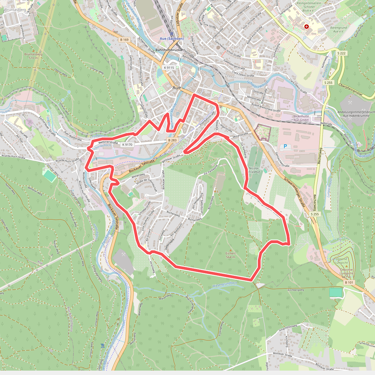
#1. Ader Bergbaulehrpfad Aue
Aue-Bad Schlema,Lauter-Bernsbach
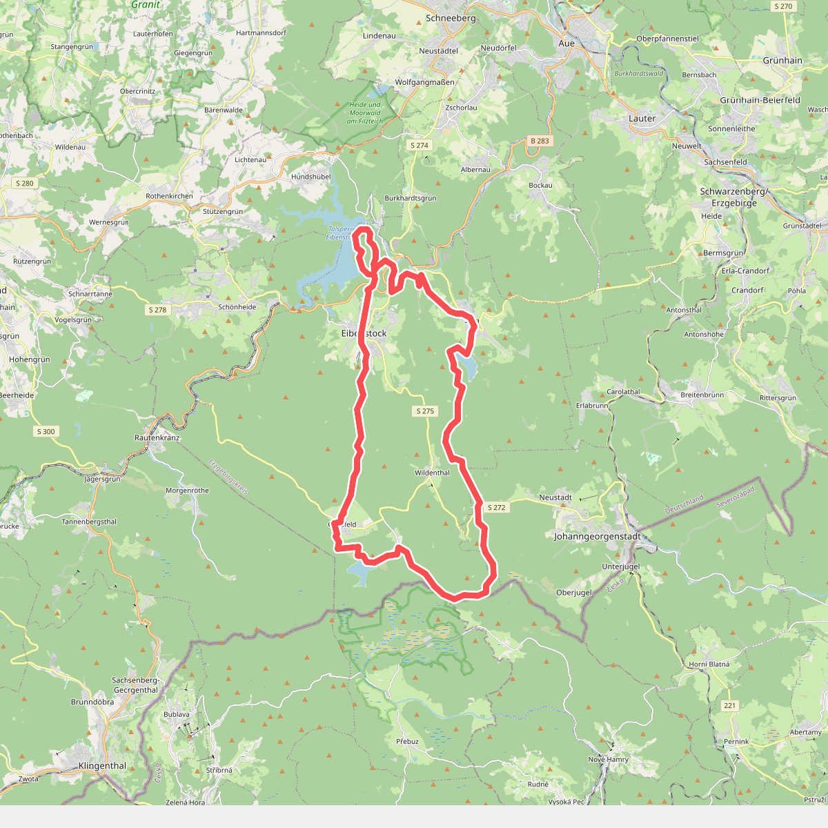
#2. Drei-Talsperren-Wanderung
Eibenstock,Johanngeorgenstadt,Přebuz
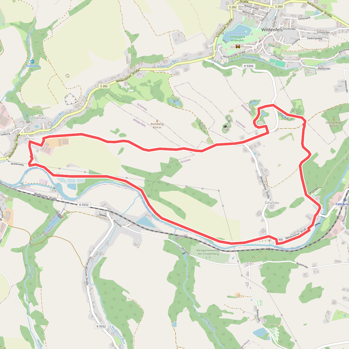
#3. Erlebnispfad „Wildenfelser Zwischengebirge“
Langenweißbach,Wildenfels
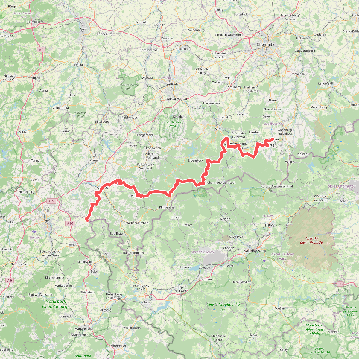
#4. Europäischer Fernwanderweg E3, Sachsen (West)
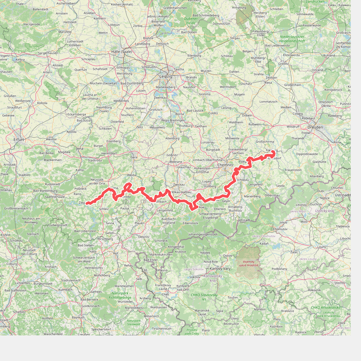
#5. Fernwanderweg Ostsee–Saaletalsperren (Abschnitt Freiberg – Ziegenrück)
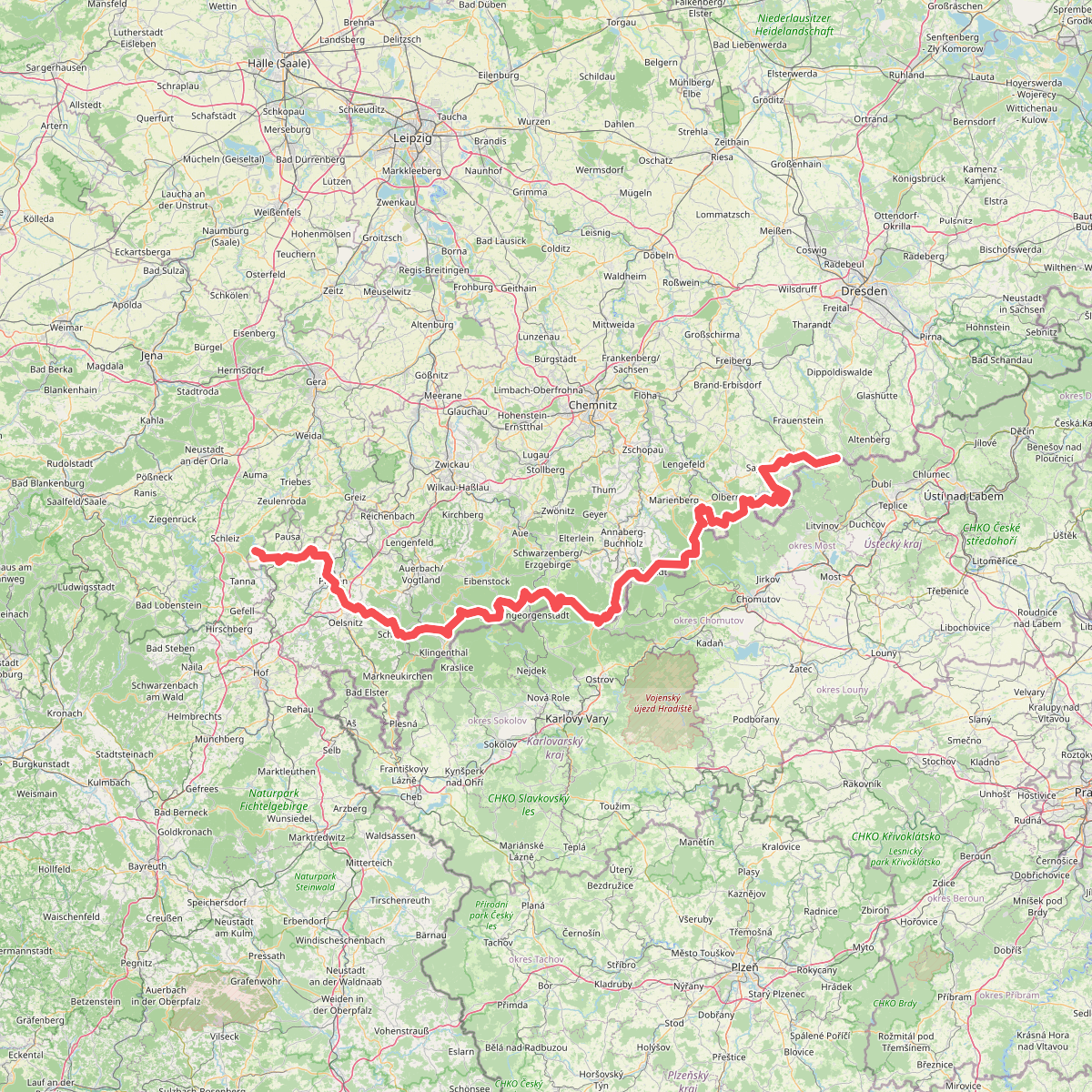
#6. Fernwanderweg Zittau – Wernigerode (Sachsen West)
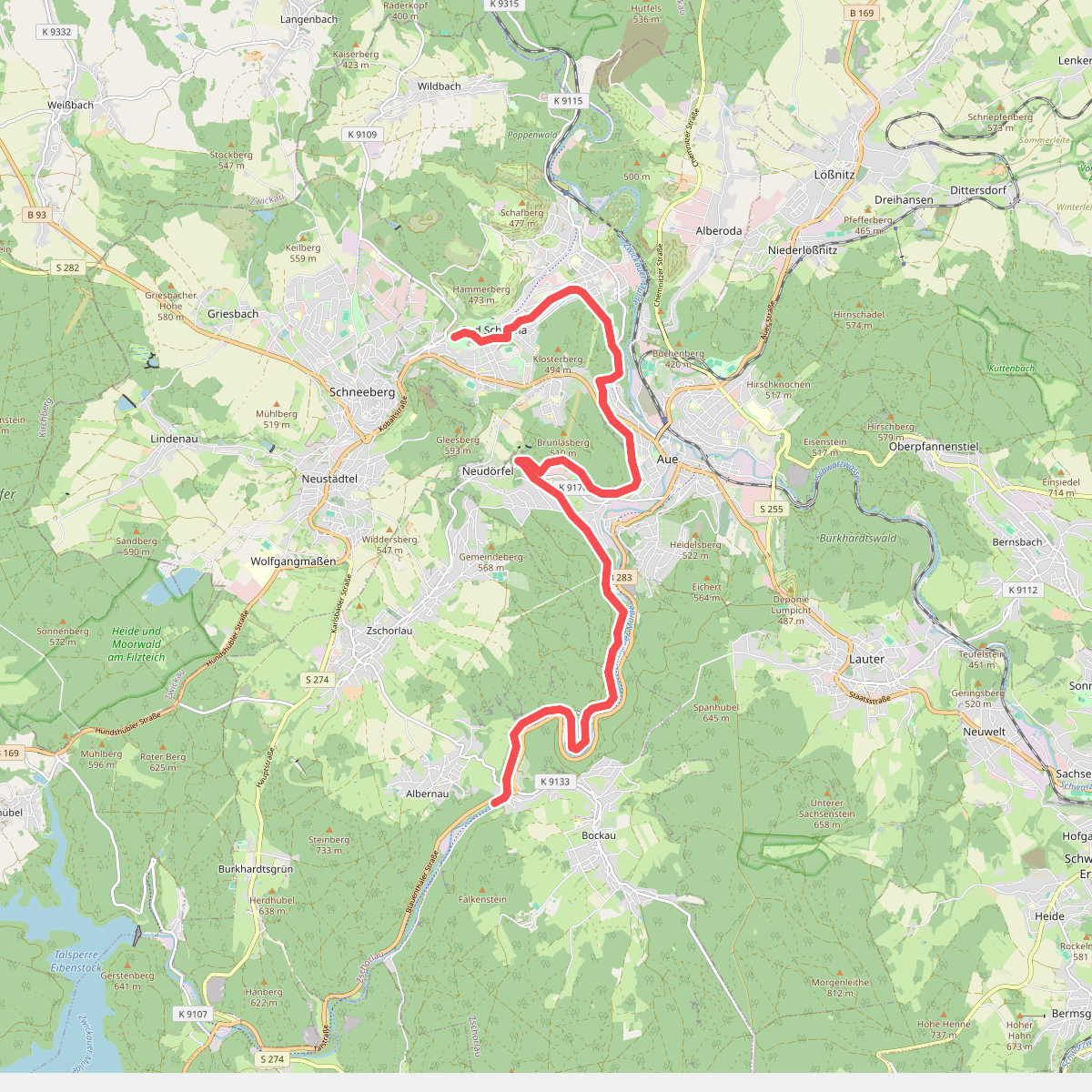
#7. Floßgraben
Zschorlau,Aue-Bad Schlema
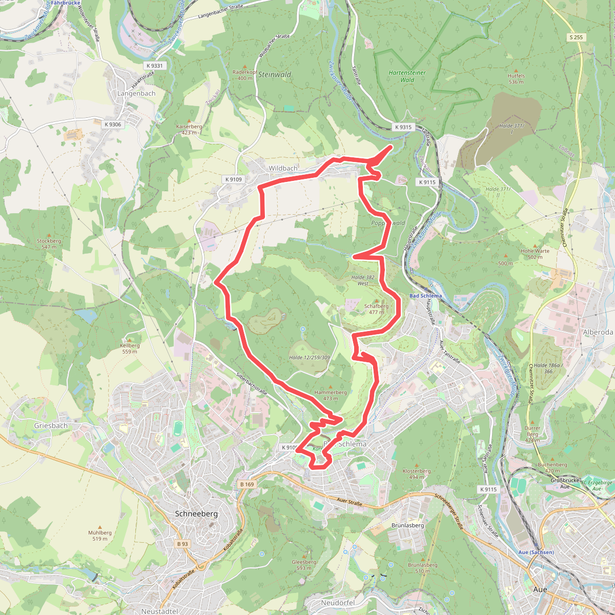
#8. Isenburgschleife Bad Schlema - Wildbach
Aue-Bad Schlema
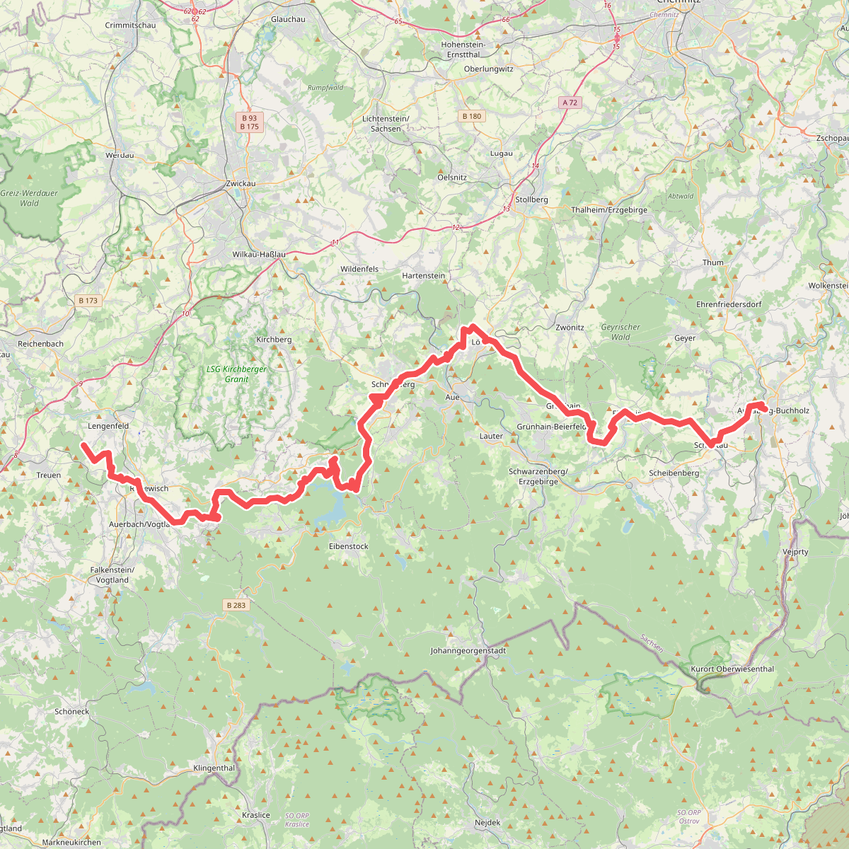
#9. Jakobsweg Silberberg (Annaberg-Eich)
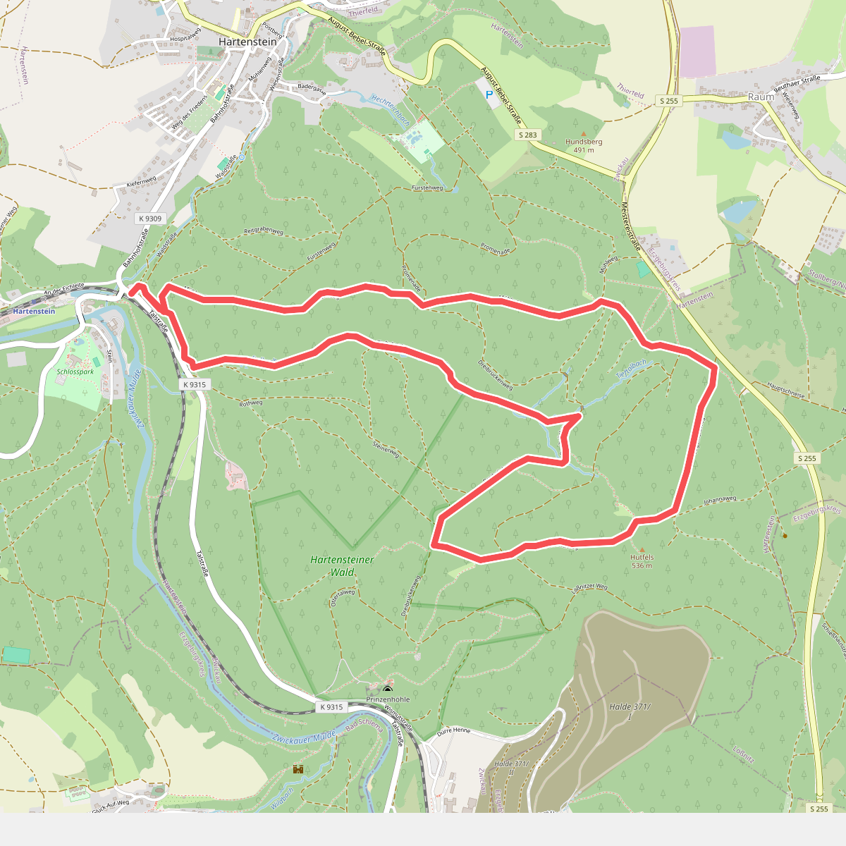
#10. Rundweg
Hartenstein
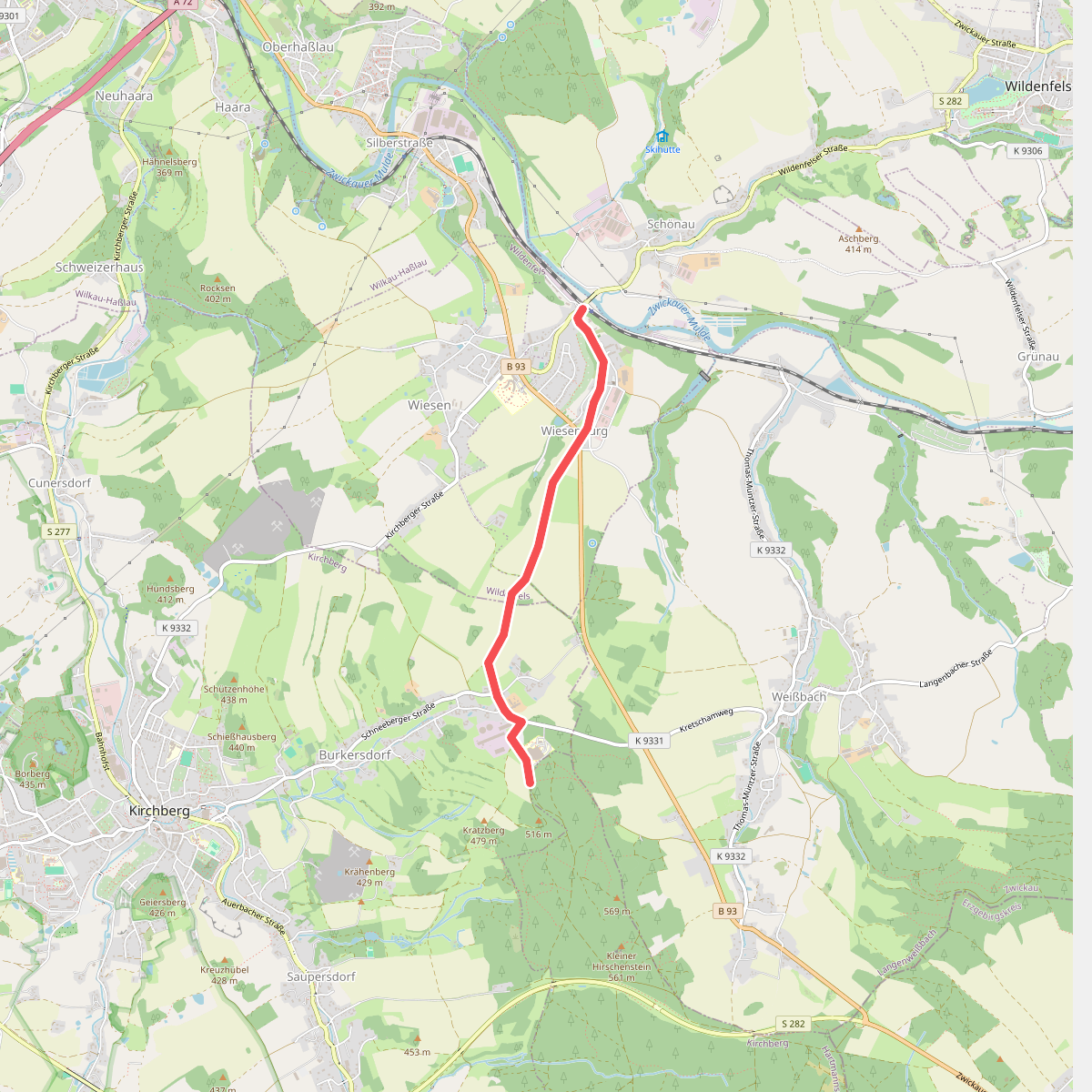
#11. Über Herrschaftsgrenzen hinweg
Kirchberg,Wildenfels
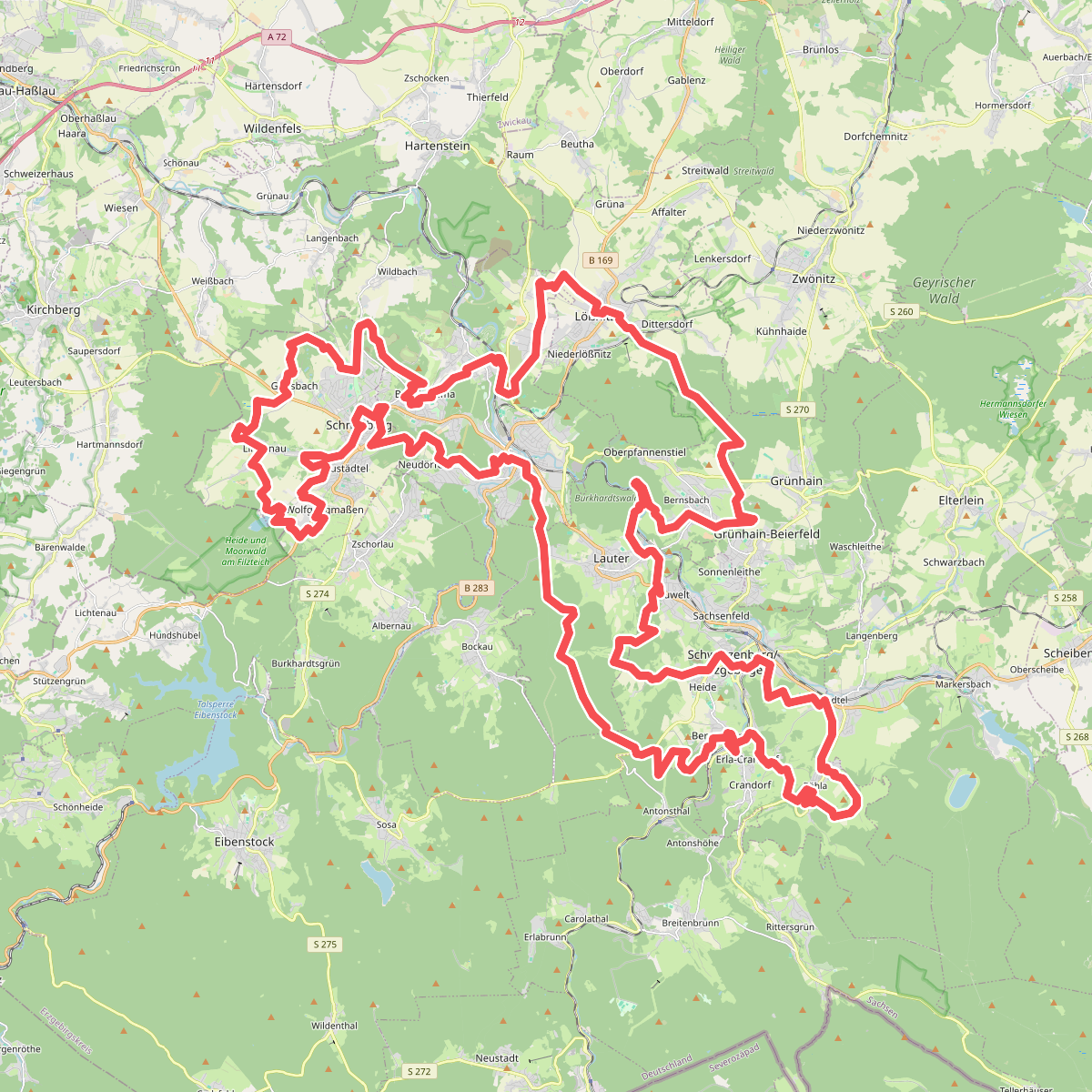
#12. W@nderbarer Silberberg
Schneeberg,Aue-Bad Schlema,Lauter-Bernsbach,Schwarzenberg/Erzgebirge,Breitenbrunn/Erzgebirge,Grünhain-Beierfeld,Lößnitz,Hartmannsdorf bei Kirchberg



