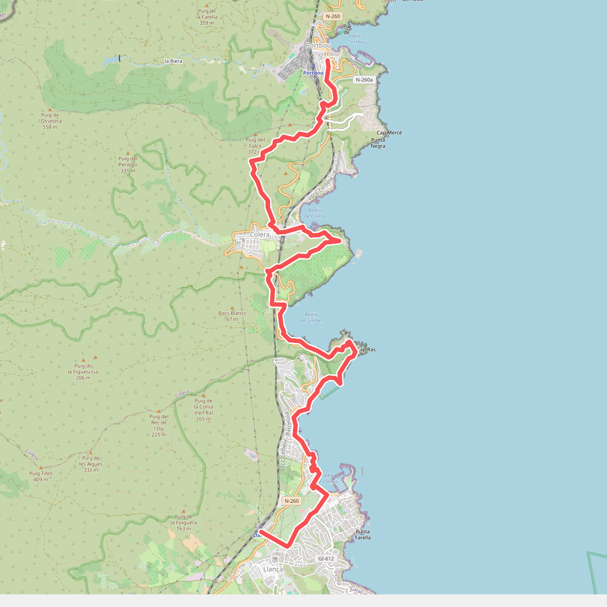
The best hiking routes in Espai d'Interès Natural del Massís de l'Albera
Discover the best walks in Espai d'Interès Natural del Massís de l'Albera. 26 routes on the map, with descriptions, photos and GPX.
About Espai d'Interès Natural del Massís de l'Albera
The Espai d'Interès Natural del Massís de l'Albera covers the easternmost extension of the Pyrenees as they slope down to the Mediterranean Sea. Unlike the high, craggy peaks found further west, this area is characterized by Mediterranean scrubland, cork oak forests, and ancient beech groves. Walkers will notice a distinct transition from the dry, sun-exposed southern slopes dominated by schist and granite boulders to the damper, greener northern aspects where beech trees thrive.
Read more
About Espai d'Interès Natural del Massís de l'Albera
The Espai d'Interès Natural del Massís de l'Albera covers the easternmost extension of the Pyrenees as they slope down to the Mediterranean Sea. Unlike the high, craggy peaks found further west, this area is characterized by Mediterranean scrubland, cork oak forests, and ancient beech groves. Walkers will notice a distinct transition from the dry, sun-exposed southern slopes dominated by schist and granite boulders to the damper, greener northern aspects where beech trees thrive.
Read moreThe Espai d'Interès Natural del Massís de l'Albera covers the easternmost extension of the Pyrenees as they slope down to the Mediterranean Sea. Unlike the high, craggy peaks found further west, this area is characterized by Mediterranean scrubland, cork oak forests, and ancient beech groves. Walkers will notice a distinct transition from the dry, sun-exposed southern slopes dominated by schist and granite boulders to the damper, greener northern aspects where beech trees thrive.
Underfoot, the trails are mostly rocky, uneven dirt tracks and stony paths that require sturdy footwear. The landscape is marked by human history, featuring numerous megalithic dolmens and menhirs, as well as medieval ruins like the Requesens Castle, which emerge directly from the wooded hillsides. Water is scarce on the ridges, though small seasonal torrents cut through the lower ravines.
In May, the lower pastures around the Albera breeding center are filled with wildflowers, while the higher ridges remain exposed and rocky. This is a working landscape where you will encounter grazing Albera cows, a semi-wild breed native to these specific hills. The area lacks the manicured boardwalks of coastal reserves, offering instead a rugged, dry mountain terrain where navigation relies on painted trail markers and old forest tracks.
Hiking routes in Espai d'Interès Natural del Massís de l'Albera (26)
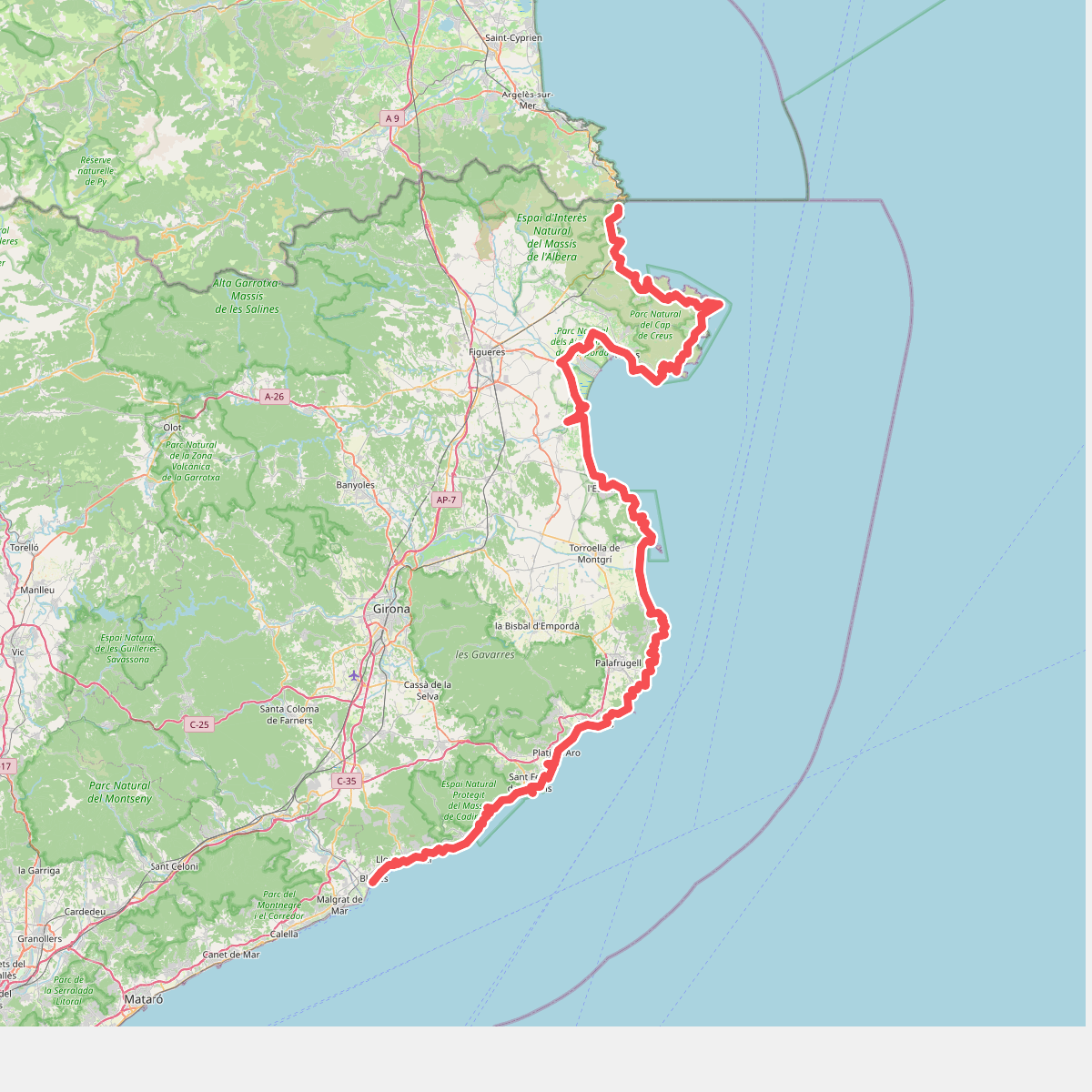
#1. Camí de Ronda
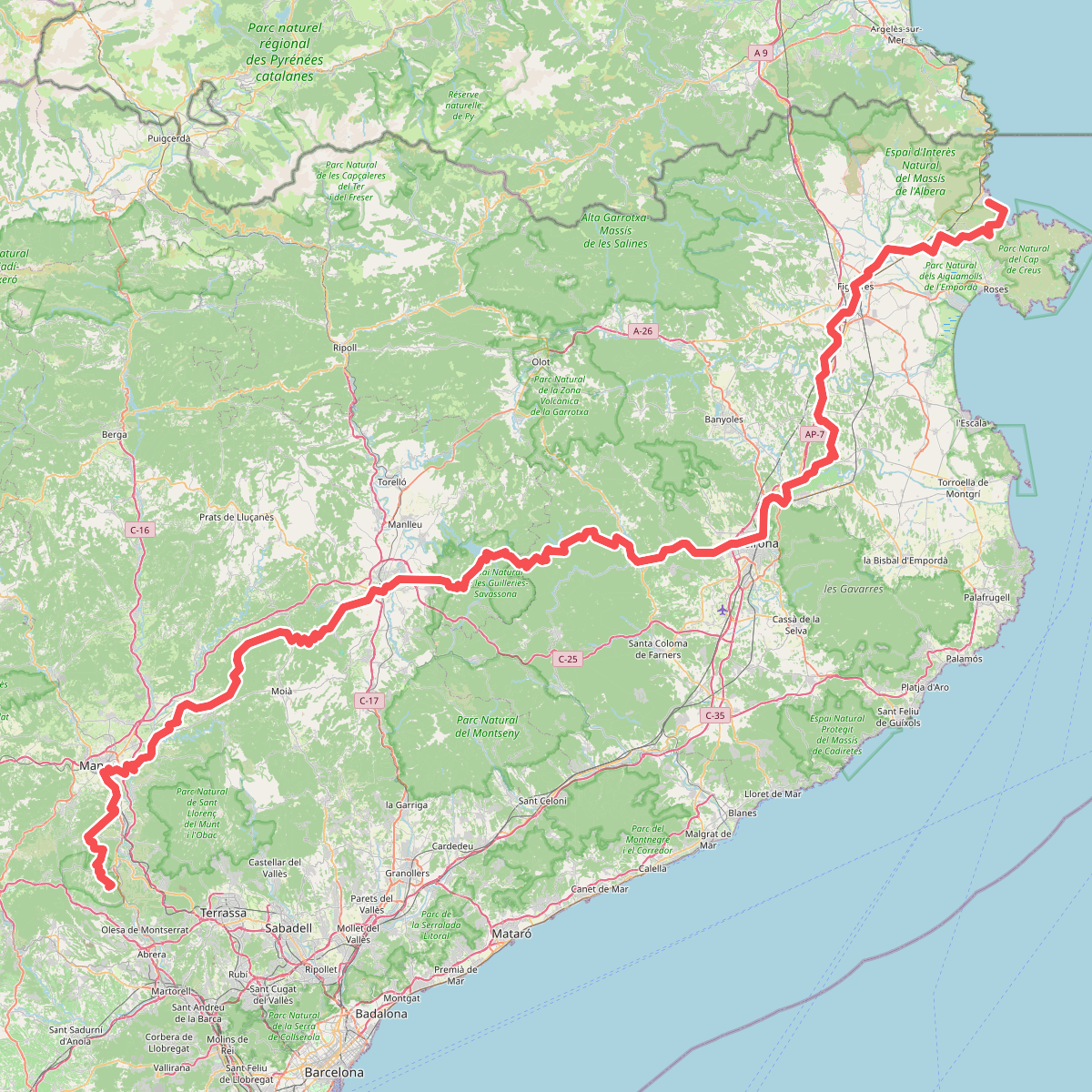
#2. Camí de Sant Jaume (Sant Pere de Rodes - Montserrat)
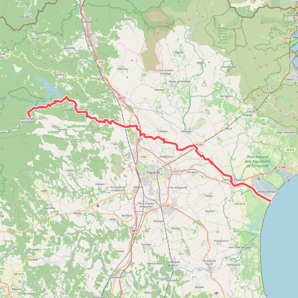
#3. Camí natural de La Muga
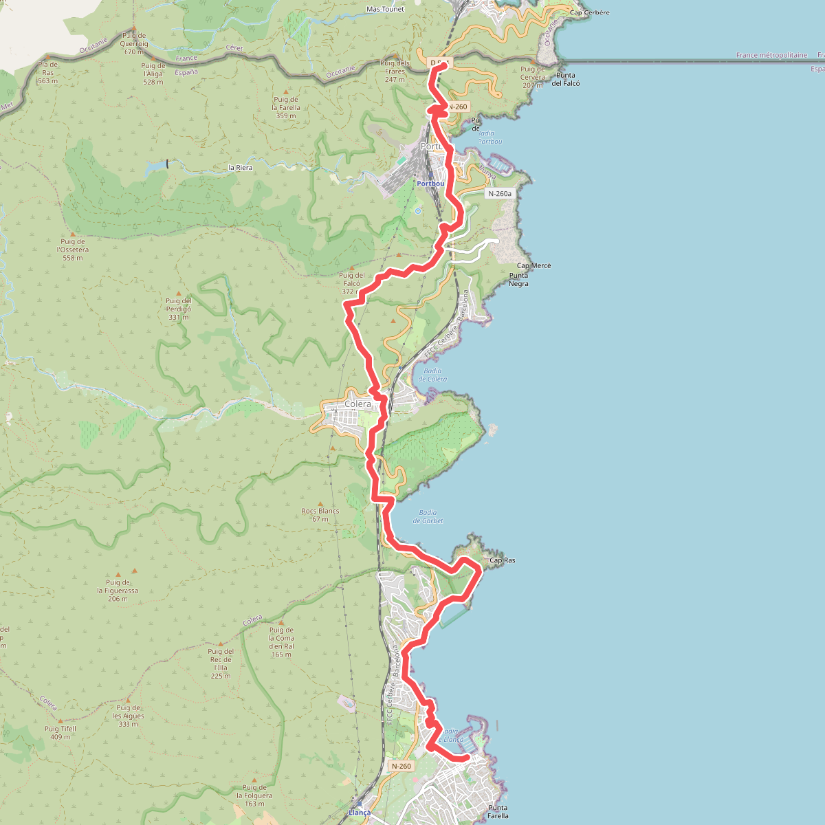
#4. Catalunya E01
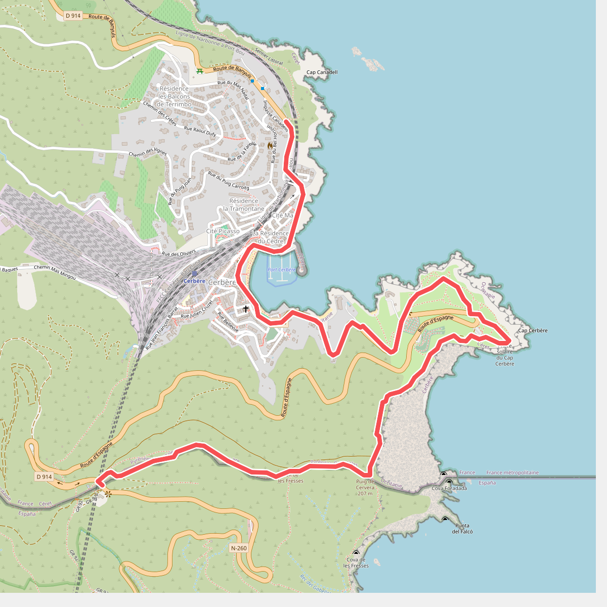
#5. E12 France, Col des Belitres - Cerbère
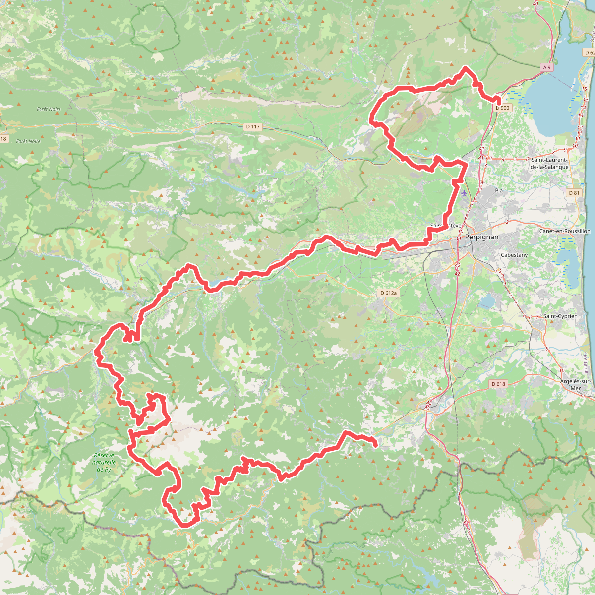
#6. El Camí IT1TR1 El Camí Capçaler: de Salzes a Balaguer
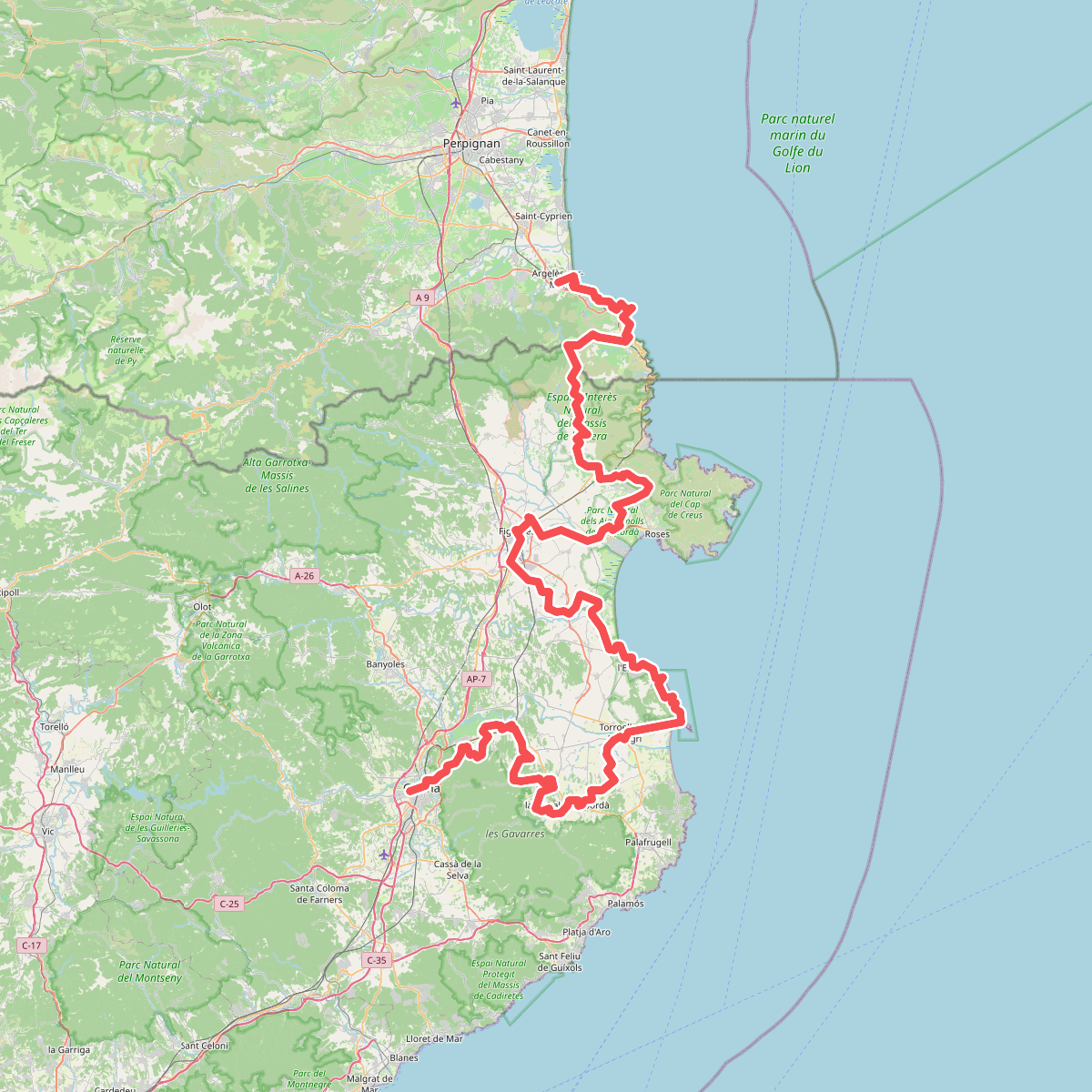
#7. El Camí IT7TR5 El Camí de Llevant: de Montserrat a Salses
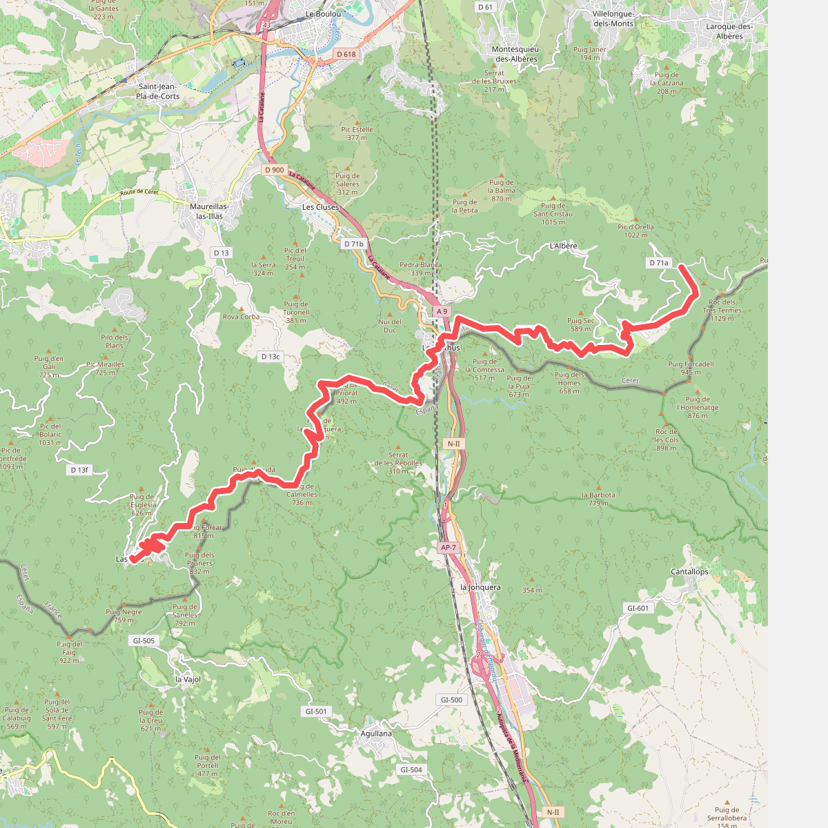
#8. HRP Étape 40
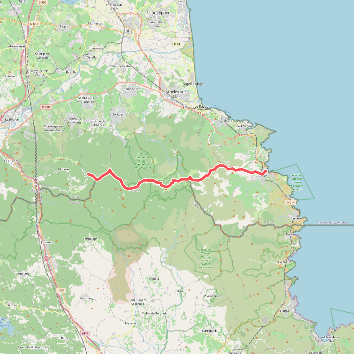
#9. HRP Étape 41
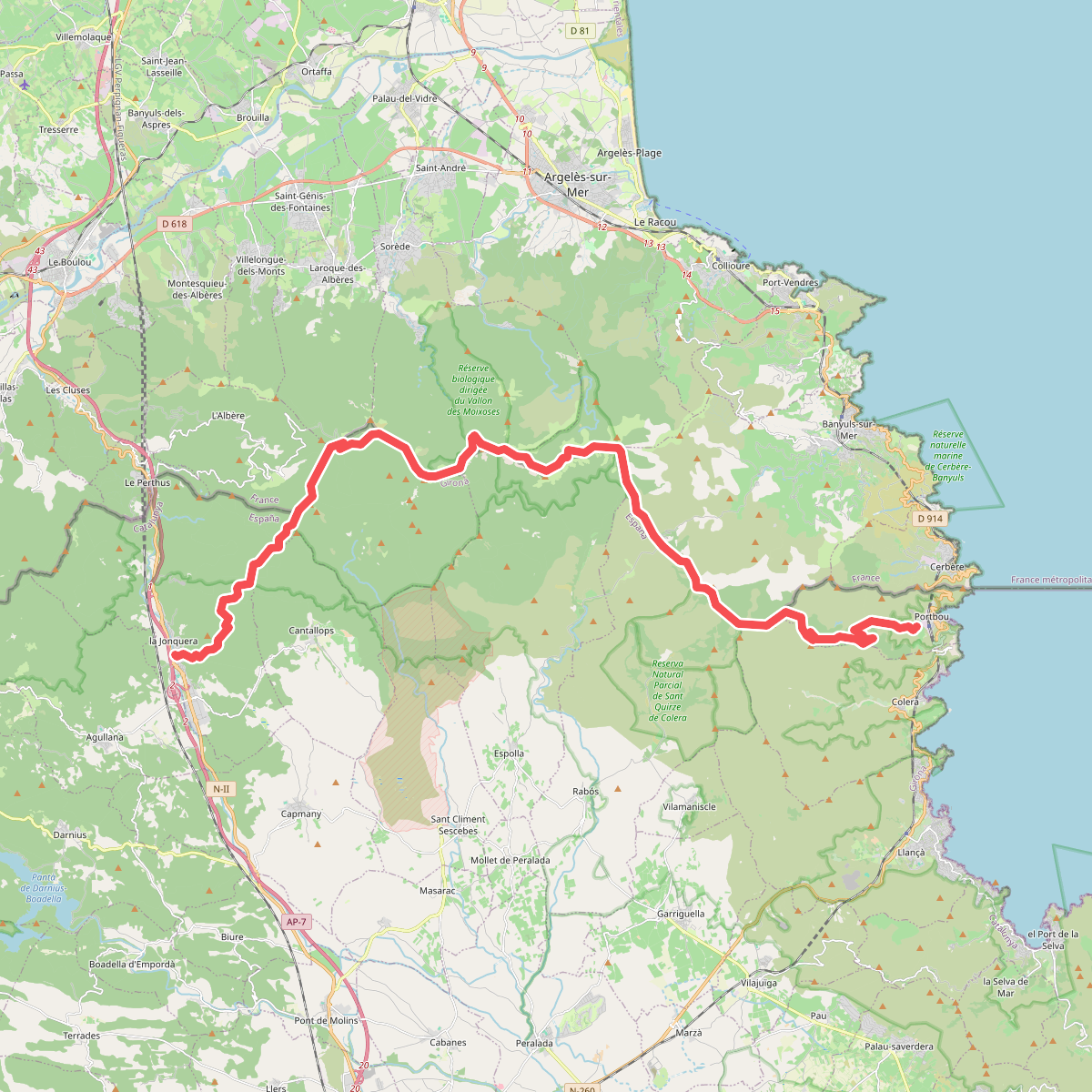
#10. La Jonquera-Portbou
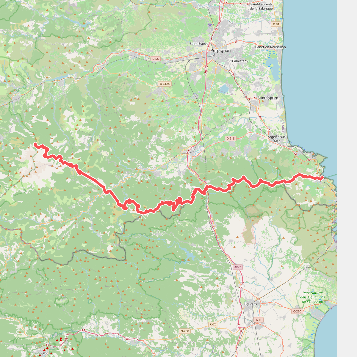
#11. La traversée des Pyrénées - sec.1