The best hiking routes in ESG Niedere Tauern
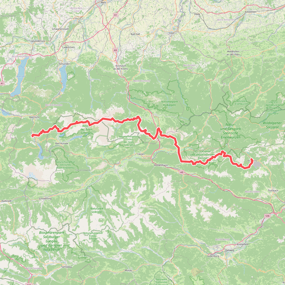
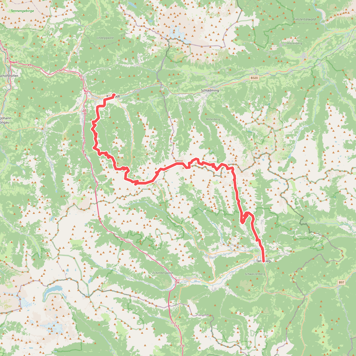
Discover the best walks in ESG Niedere Tauern. 2 routes on the map, with descriptions, photos and GPX.
About ESG Niedere Tauern
The ESG Niedere Tauern is a protected high-alpine area characterized by steep, crystalline rock formations, dark cirque lakes, and extensive alpine meadows. Unlike the limestone massifs nearby, this area is dominated by acidic bedrock, which supports vast fields of dwarf shrubs, rhododendrons, and peat mosses in the wetter depressions. Walkers will notice a landscape shaped by glacial action, where hanging valleys abruptly drop into deeper troughs, creating numerous waterfalls along the trail network.
Read more
About ESG Niedere Tauern
The ESG Niedere Tauern is a protected high-alpine area characterized by steep, crystalline rock formations, dark cirque lakes, and extensive alpine meadows. Unlike the limestone massifs nearby, this area is dominated by acidic bedrock, which supports vast fields of dwarf shrubs, rhododendrons, and peat mosses in the wetter depressions. Walkers will notice a landscape shaped by glacial action, where hanging valleys abruptly drop into deeper troughs, creating numerous waterfalls along the trail network.
Read moreThe ESG Niedere Tauern is a protected high-alpine area characterized by steep, crystalline rock formations, dark cirque lakes, and extensive alpine meadows. Unlike the limestone massifs nearby, this area is dominated by acidic bedrock, which supports vast fields of dwarf shrubs, rhododendrons, and peat mosses in the wetter depressions. Walkers will notice a landscape shaped by glacial action, where hanging valleys abruptly drop into deeper troughs, creating numerous waterfalls along the trail network.
Underfoot, the terrain consists mostly of rough, stony tracks, steep scree slopes, and narrow dirt paths that require steady footing. In the higher corries and near the tarns, the ground often becomes boggy, with simple wooden planks or stepping stones assisting crossings over wet turf. The ascent routes are physically demanding, lacking the gentle, rolling transitions found in lower foothills.
In July and August, the high-altitude meadows are marked by vibrant alpine blooms, while snow patches often linger on the north-facing cols well into summer. The lower valleys can be busy near the main trailheads and cable car stations, but the higher, more remote ridges offer a much quieter, rugged walking experience defined by grey rock and cold mountain streams.