

The best hiking routes in Ems
Discover the best walks in Ems. 15 routes on the map, with descriptions, photos and GPX.




About Ems
The Ems river valley offers a low-lying, flat walking landscape shaped by the slow flow of the river and its historical flooding patterns. Unlike the dry, elevated sandy soils of nearby forests, this area is defined by damp alluvial meadows, old river bends, and thick riverside vegetation. Walkers will notice a distinct transition between the open, grassy floodplains and the denser, shaded corridors of willow and alder trees that line the water. The terrain is consistently level, with no significant hills or ridges to climb.
Read more
About Ems
The Ems river valley offers a low-lying, flat walking landscape shaped by the slow flow of the river and its historical flooding patterns. Unlike the dry, elevated sandy soils of nearby forests, this area is defined by damp alluvial meadows, old river bends, and thick riverside vegetation. Walkers will notice a distinct transition between the open, grassy floodplains and the denser, shaded corridors of willow and alder trees that line the water. The terrain is consistently level, with no significant hills or ridges to climb.
Read moreThe Ems river valley offers a low-lying, flat walking landscape shaped by the slow flow of the river and its historical flooding patterns. Unlike the dry, elevated sandy soils of nearby forests, this area is defined by damp alluvial meadows, old river bends, and thick riverside vegetation. Walkers will notice a distinct transition between the open, grassy floodplains and the denser, shaded corridors of willow and alder trees that line the water. The terrain is consistently level, with no significant hills or ridges to climb.
Underfoot, the paths vary from soft, grassy tracks through the pastures to firmer dirt trails along the dikes. In the lower sections near the riverbanks, the ground consists of heavy clay and silt, which can feel soft and uneven. Some sections feature simple wooden boardwalks to help cross the dampest ground near the old oxbow lakes, while other paths follow the gravelly edges of the main river channel. It is a landscape of close-up details, where the focus is on the movement of the water and the dense riverside growth rather than wide panoramic views.
In late spring, particularly around May, the meadows along the Ems are bright with blooming wildflowers, making this a visually distinct time to visit. The area is generally peaceful, though the paths closest to the local bridge crossings and access points tend to see more foot traffic. Choosing a walk here means trading dry, pine-scented forest tracks for a damp, slow-paced river environment where the path closely follows the natural curves of the water.
Hiking routes in Ems (15)
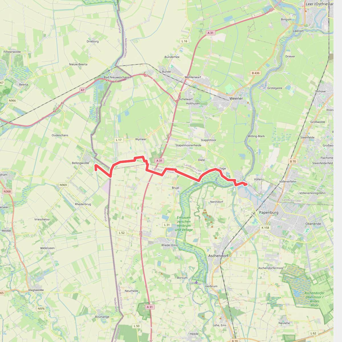
#1. Bellingwolde - Papenburg (D) · Groot Frieslandpad etappe 22
Bellingwolde
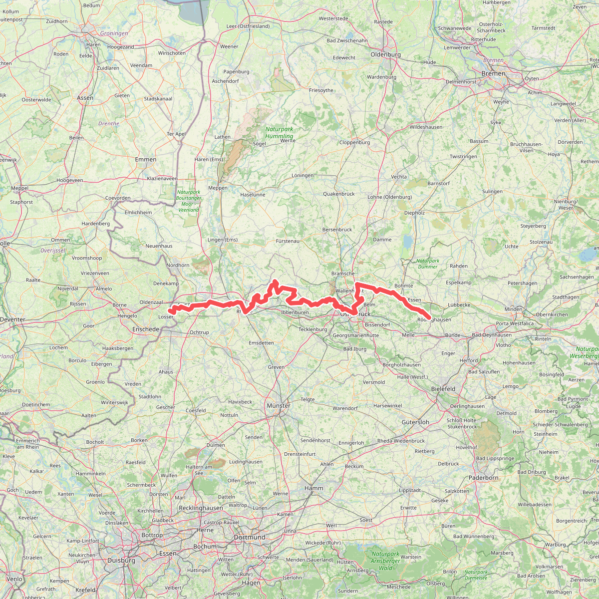
#2. Europäischer Fernwanderweg E11, Niedersachsen (W)
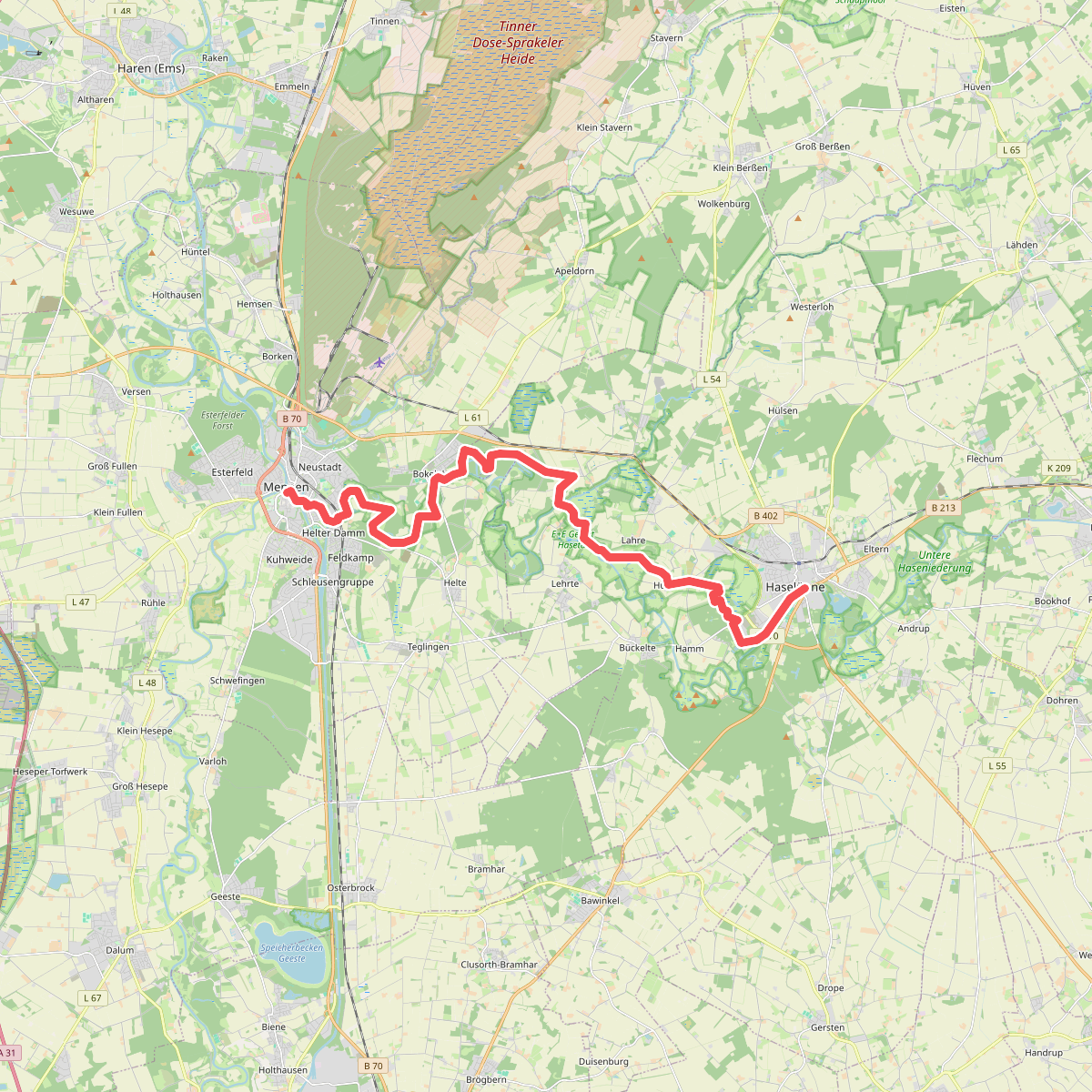
#3. Haselünne - Meppen · Hondsrugpad/Hunenweg etappe 9
Meppen,Haselünne
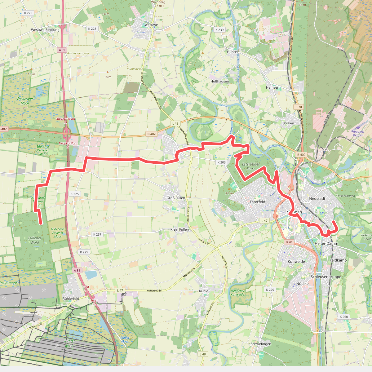
#4. Hondsrugpad - 09/10
Meppen
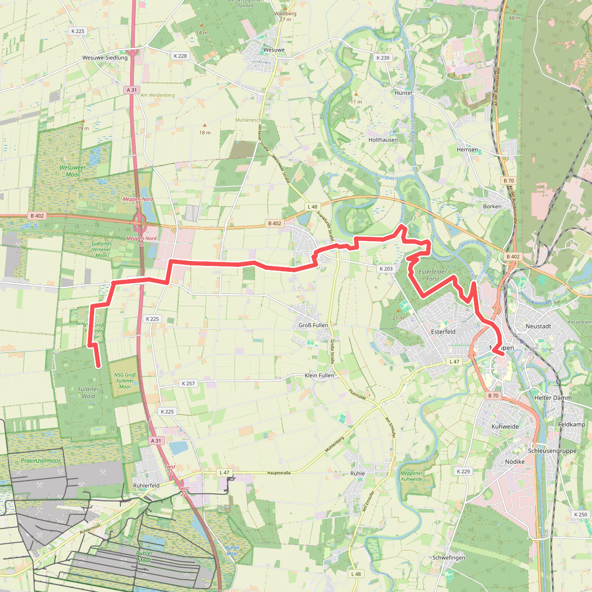
#5. Meppen - Abzw. Rühlerfeld · Hondsrugpad/Hunenweg etappe 10
Twist,Meppen
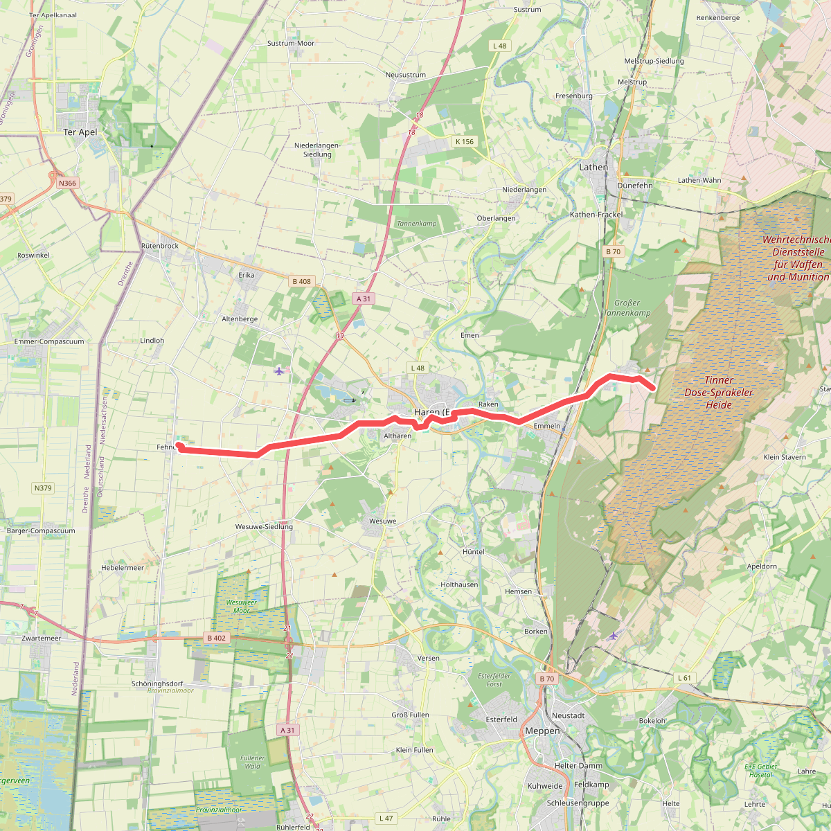
#6. Monniken
Haren (Ems)
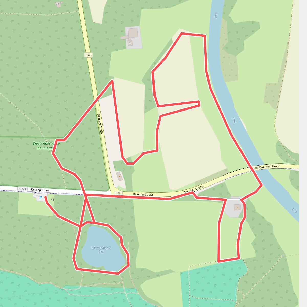
#7. Naturerlebnis-Lehrpfad Wachendorf
Lingen (Ems)
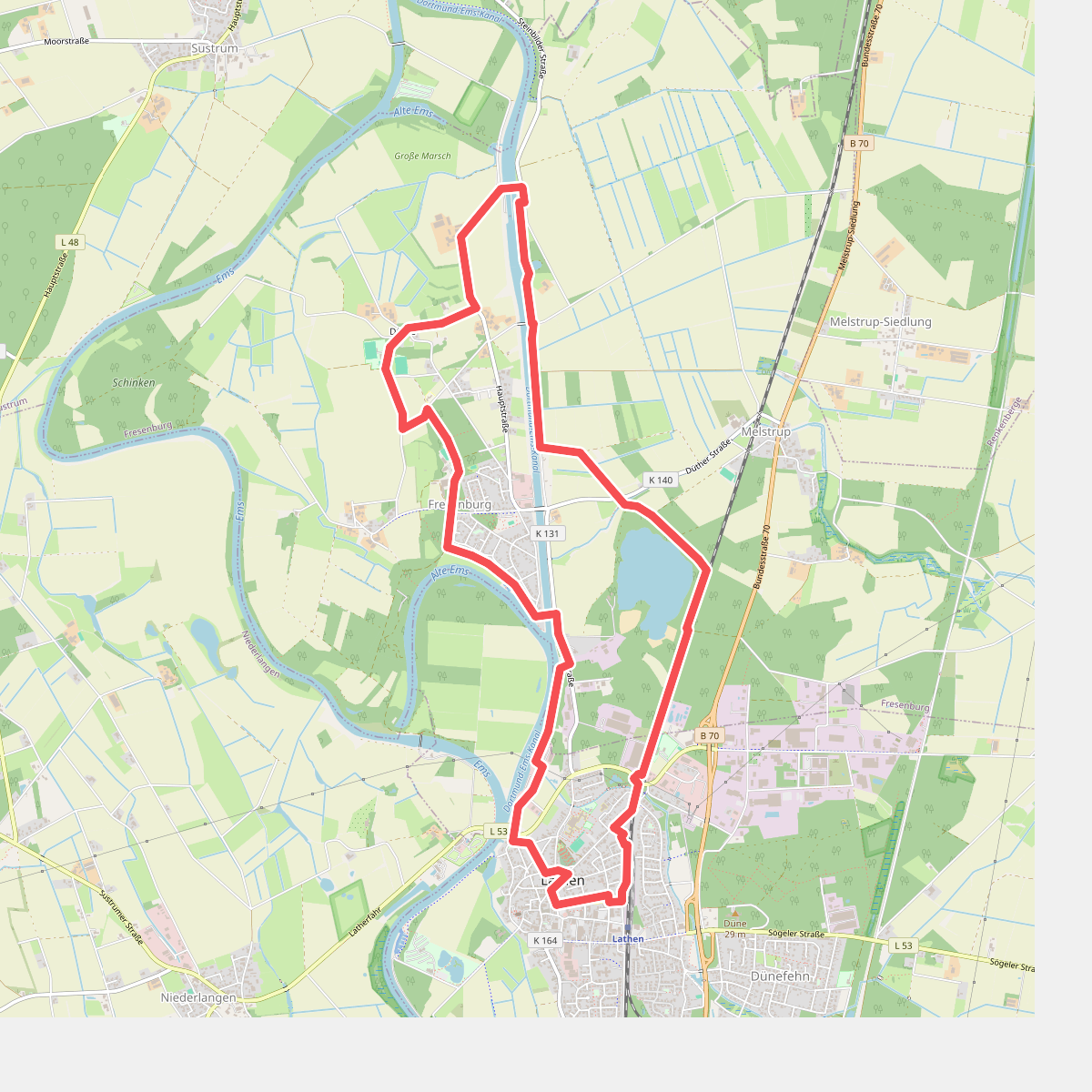
#8. Wanderweg Lathen Fresenburg Düthe
Fresenburg,Lathen
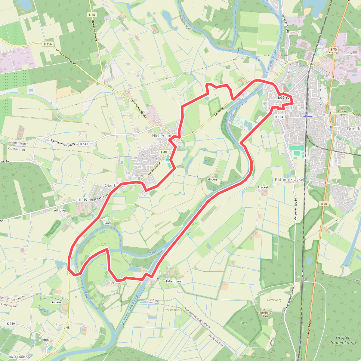
#9. Wanderweg Lathen Oberlangen Niederlangen
Niederlangen,Lathen,Oberlangen
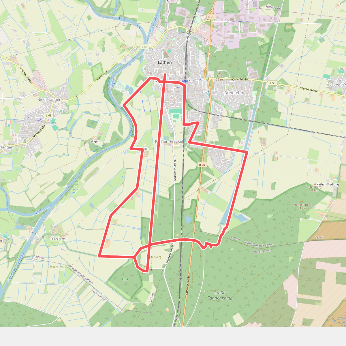
#10. Wanderweg Lathen-Süd Kathen-Siedlung Hilterberg
Lathen,Haren (Ems)
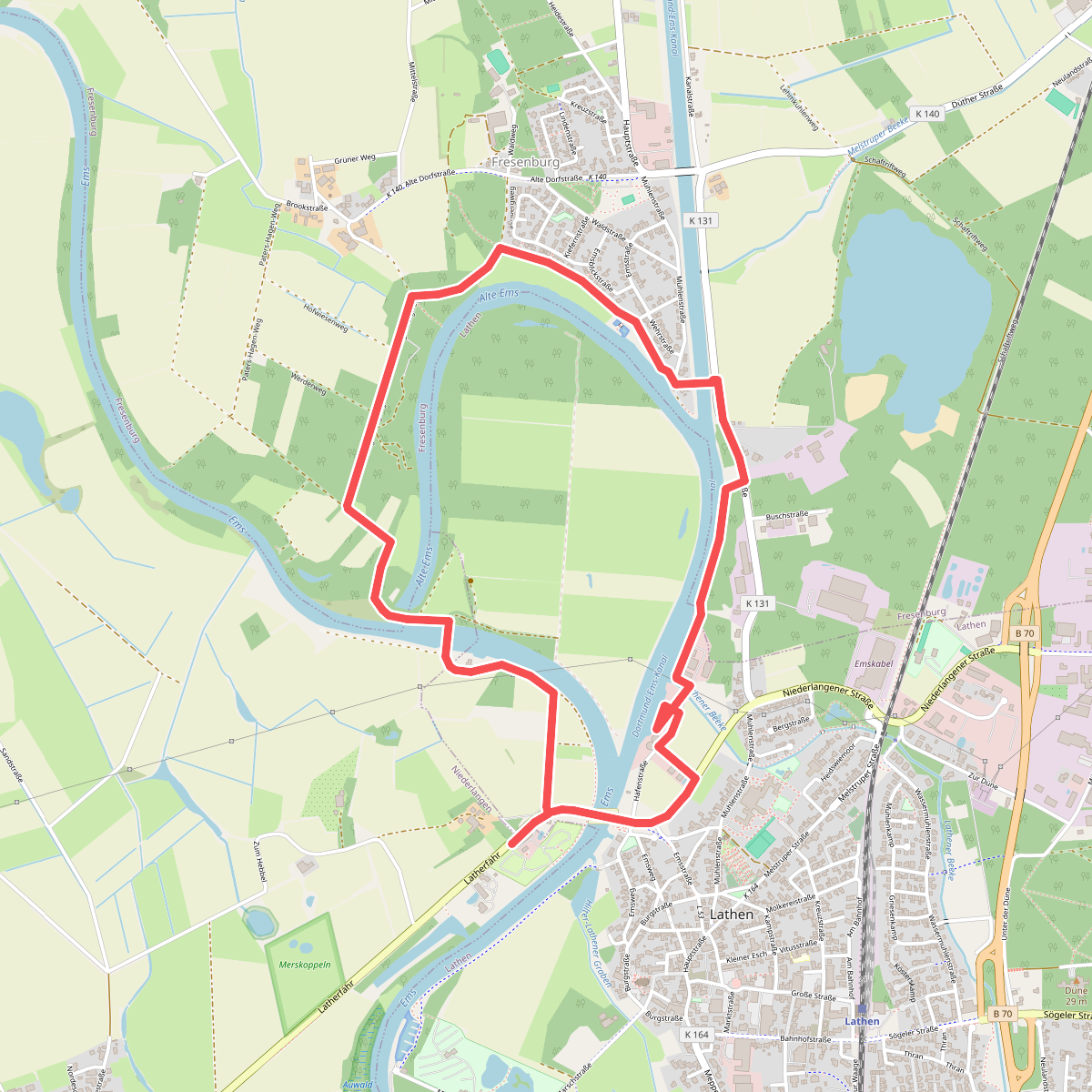
#11. Wanderweg Lathener Wehr - Fresenburg
Niederlangen,Lathen,Fresenburg
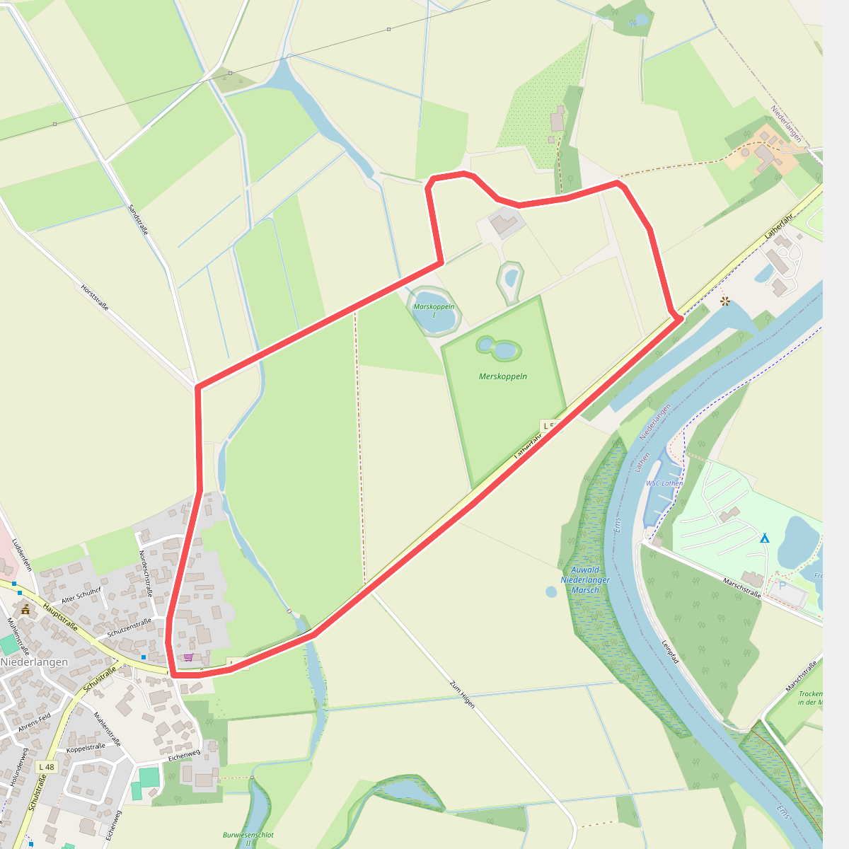
#12. Wanderweg Niederlangen - Zum Hebbel
Niederlangen



