The best hiking routes in Chránená krajinná oblasť Latorica
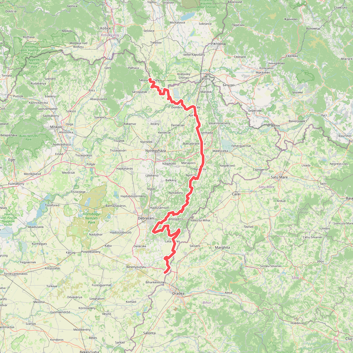
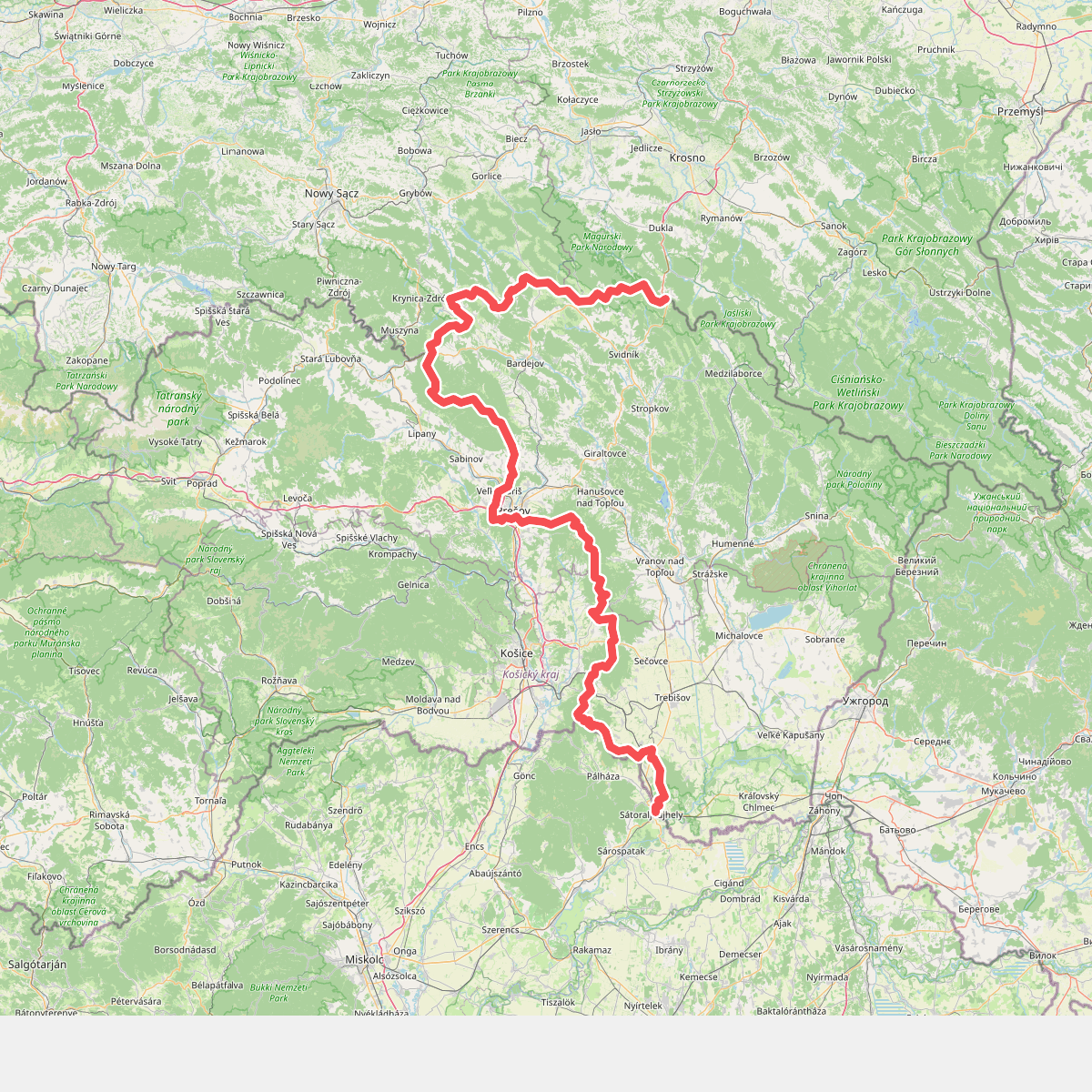
Discover the best walks in Chránená krajinná oblasť Latorica. 2 routes on the map, with descriptions, photos and GPX.
Managed by S-CHKO Latorica
About Chránená krajinná oblasť Latorica
Chránená krajinná oblasť Latorica is a lowland protected area dominated by a network of slow-flowing river channels, oxbow lakes, and alluvial meadows. Unlike Slovak parks defined by mountain peaks and deep valleys, this landscape is entirely flat, shaped by the seasonal flooding of the Latorica river. Walkers will find a mosaic of wet willow-poplar forests, marshlands, and drier oak-hornbeam groves that grow on slightly elevated sand dunes.
Read more
About Chránená krajinná oblasť Latorica
Chránená krajinná oblasť Latorica is a lowland protected area dominated by a network of slow-flowing river channels, oxbow lakes, and alluvial meadows. Unlike Slovak parks defined by mountain peaks and deep valleys, this landscape is entirely flat, shaped by the seasonal flooding of the Latorica river. Walkers will find a mosaic of wet willow-poplar forests, marshlands, and drier oak-hornbeam groves that grow on slightly elevated sand dunes.
Read moreChránená krajinná oblasť Latorica is a lowland protected area dominated by a network of slow-flowing river channels, oxbow lakes, and alluvial meadows. Unlike Slovak parks defined by mountain peaks and deep valleys, this landscape is entirely flat, shaped by the seasonal flooding of the Latorica river. Walkers will find a mosaic of wet willow-poplar forests, marshlands, and drier oak-hornbeam groves that grow on slightly elevated sand dunes.
Walking here means navigating a mix of dirt tracks, grassy dykes, and overgrown paths that can become muddy and waterlogged. There are no signposted mountain trails or boardwalk networks; instead, the routes follow agricultural tracks and river embankments. The underfoot conditions transition quickly from soft alluvial clay near the watercourses to loose sand on the inland dunes, requiring sturdy footwear and a tolerance for rough, unmaintained paths.
In late spring, particularly around May, the meadows are filled with water-loving vegetation, and the oxbow lakes are covered in water lilies. The area is highly exposed to insects due to the standing water, which is a key characteristic of these wetlands. It is a quiet, functional agricultural and conservation landscape where you are more likely to encounter local fishermen and foresters than recreational hikers.