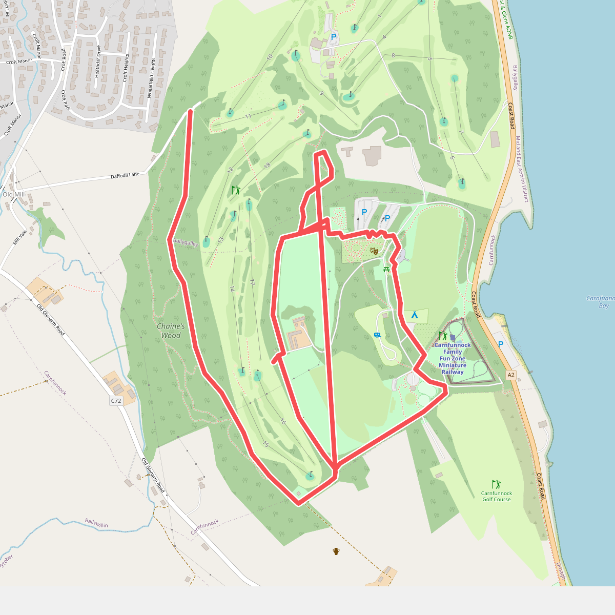
The best hiking routes in Antrim Coast & Glens AONB
Discover the best walks in Antrim Coast & Glens AONB. 9 routes on the map, with descriptions, photos and GPX.
About Antrim Coast & Glens AONB
The Antrim Coast & Glens AONB is defined by its stark geological contrast, where a high basalt plateau drops abruptly into deep glens and meets a coastline of white limestone and dark volcanic rock. Walkers here will not find jagged alpine peaks or vast sandy dune systems. Instead, the landscape consists of exposed, flat-topped moorland incised by nine distinct parallel valleys that drain eastwards toward the North Channel. This structure means paths either follow the flat, windy plateau rim or descend steeply into sheltered, wooded glens.
Read more
About Antrim Coast & Glens AONB
The Antrim Coast & Glens AONB is defined by its stark geological contrast, where a high basalt plateau drops abruptly into deep glens and meets a coastline of white limestone and dark volcanic rock. Walkers here will not find jagged alpine peaks or vast sandy dune systems. Instead, the landscape consists of exposed, flat-topped moorland incised by nine distinct parallel valleys that drain eastwards toward the North Channel. This structure means paths either follow the flat, windy plateau rim or descend steeply into sheltered, wooded glens.
Read moreThe Antrim Coast & Glens AONB is defined by its stark geological contrast, where a high basalt plateau drops abruptly into deep glens and meets a coastline of white limestone and dark volcanic rock. Walkers here will not find jagged alpine peaks or vast sandy dune systems. Instead, the landscape consists of exposed, flat-topped moorland incised by nine distinct parallel valleys that drain eastwards toward the North Channel. This structure means paths either follow the flat, windy plateau rim or descend steeply into sheltered, wooded glens.
Underfoot, the terrain varies sharply between these two zones. On the high open ground, such as the slopes around Trostan or the Garron Plateau, the surface is dominated by thick blanket bog, wet heath, and rough grazing land where boots will sink into peat and heather unless following established gravel tracks. In contrast, the glen floors offer firmer paths through deciduous woodland, often running alongside fast-flowing rivers over clay, fallen leaves, and damp stone steps. Along the immediate shoreline, the route alternates between tarmac coastal roads, shingle beaches, and tidal rock platforms.
In late spring, particularly during May, the woodland floors of the glens are covered in wild garlic and bluebells, offering a brief period of color before the tree canopy closes. The open plateau remains muted in tone for most of the year, dominated by sedges and rushes. While the coastal margins and famous sites like Glenariff Forest Park attract regular foot traffic, the high bogland tracks remain quiet, requiring careful navigation due to the lack of distinct landmarks on the open ground.
Hiking routes in Antrim Coast & Glens AONB (9)
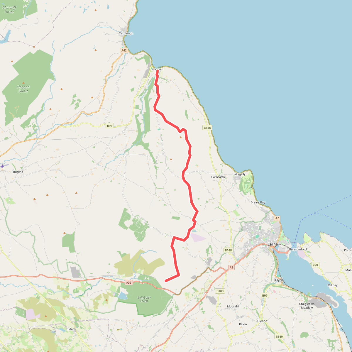
#1. Antrim Hills Way (Ulster Way Section)
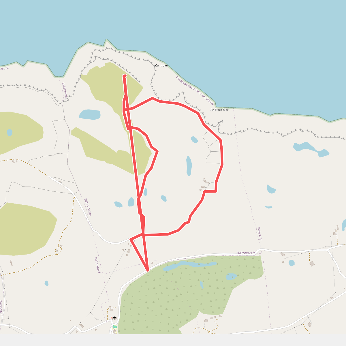
#2. Ballyconaghan Circular Trail, Rathlin
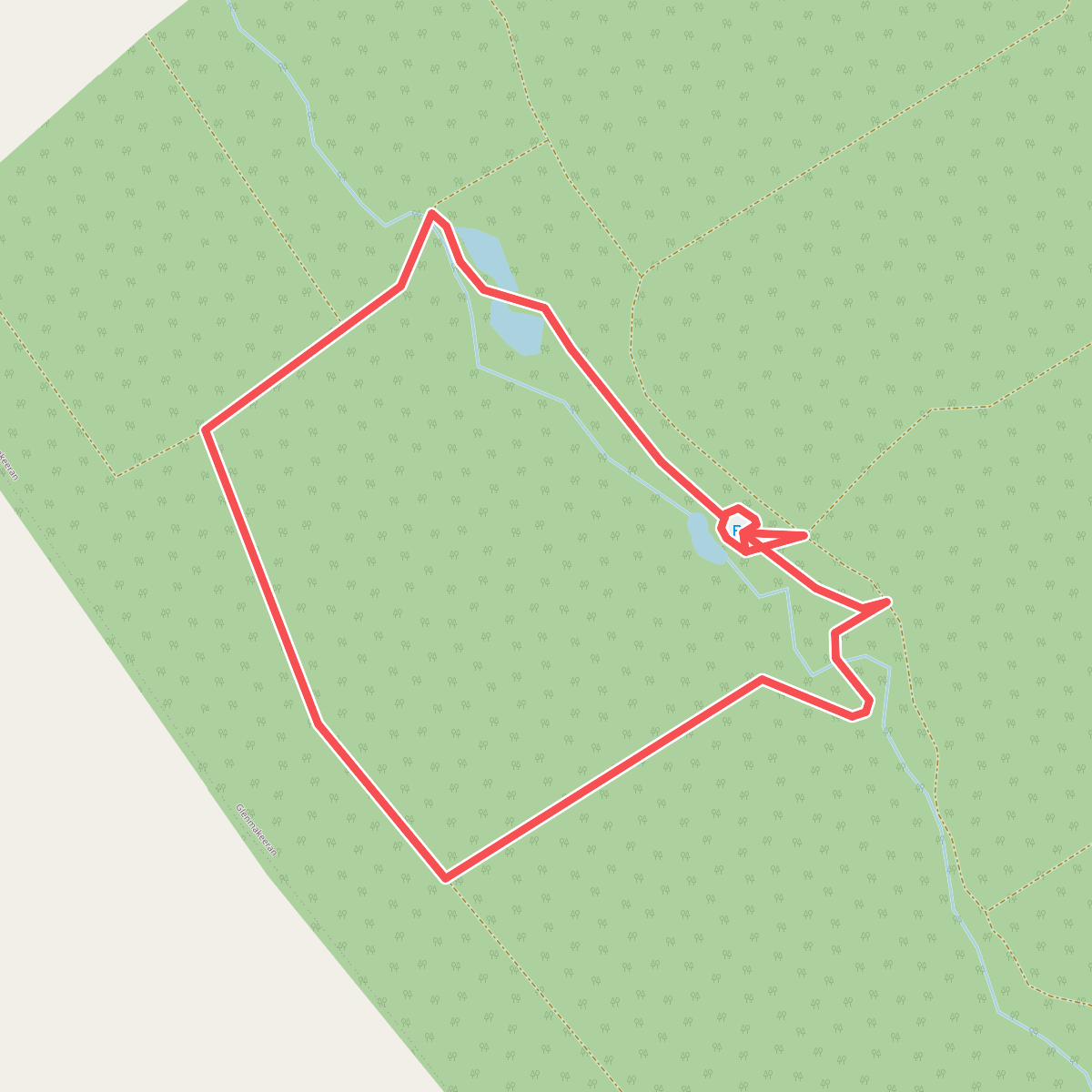
#3. Ballypatrick Forest Trails - 2 Glenmakeeran Trail
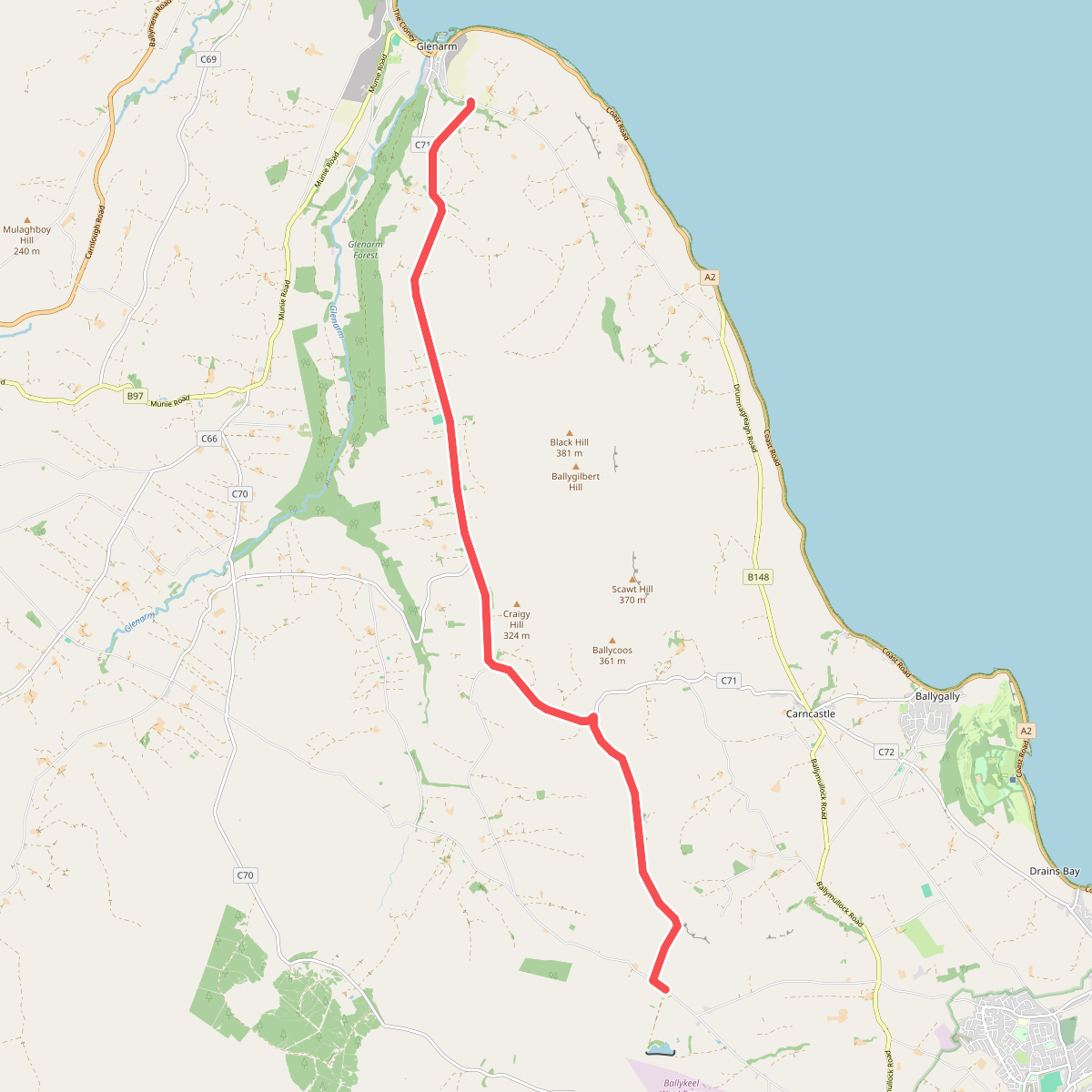
#4. Causeway Coast and Glens - 9 - Salllagh Braes Walk
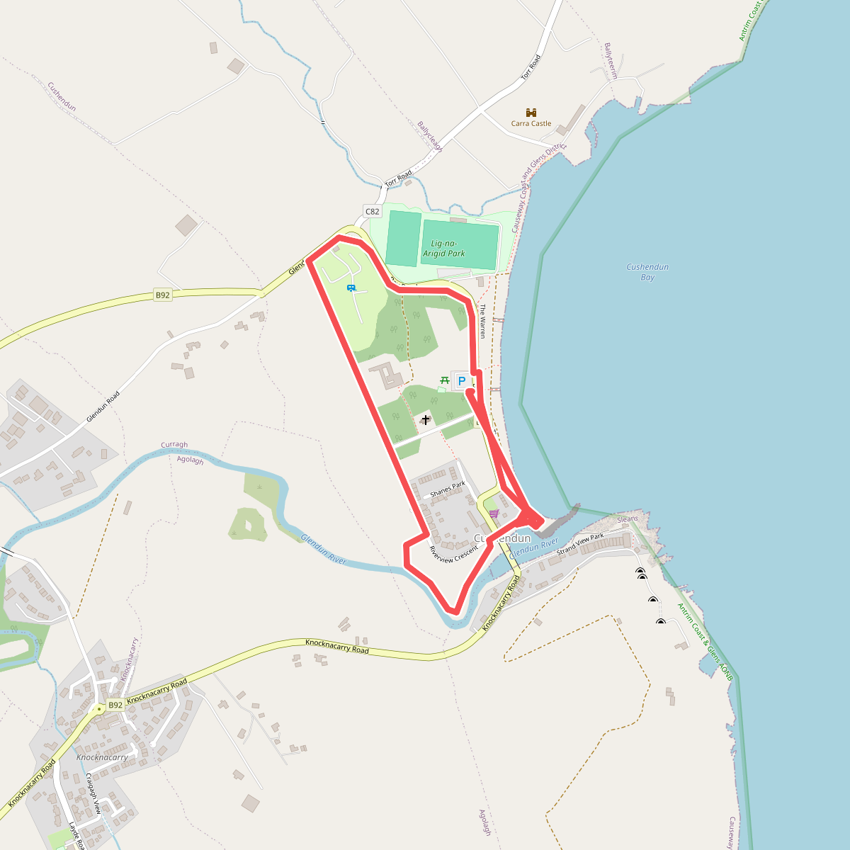
#5. Cushendun Village Circular Trail, Cushendun
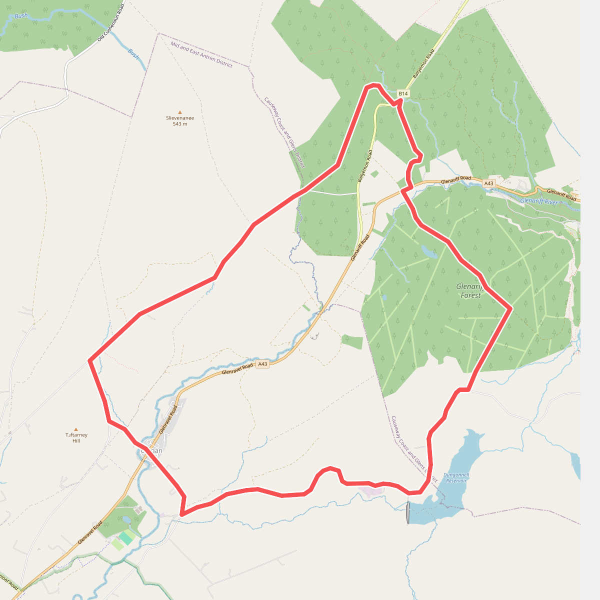
#6. Dungonnell Way
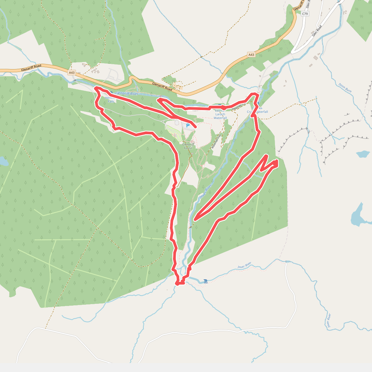
#7. Scenic Trail
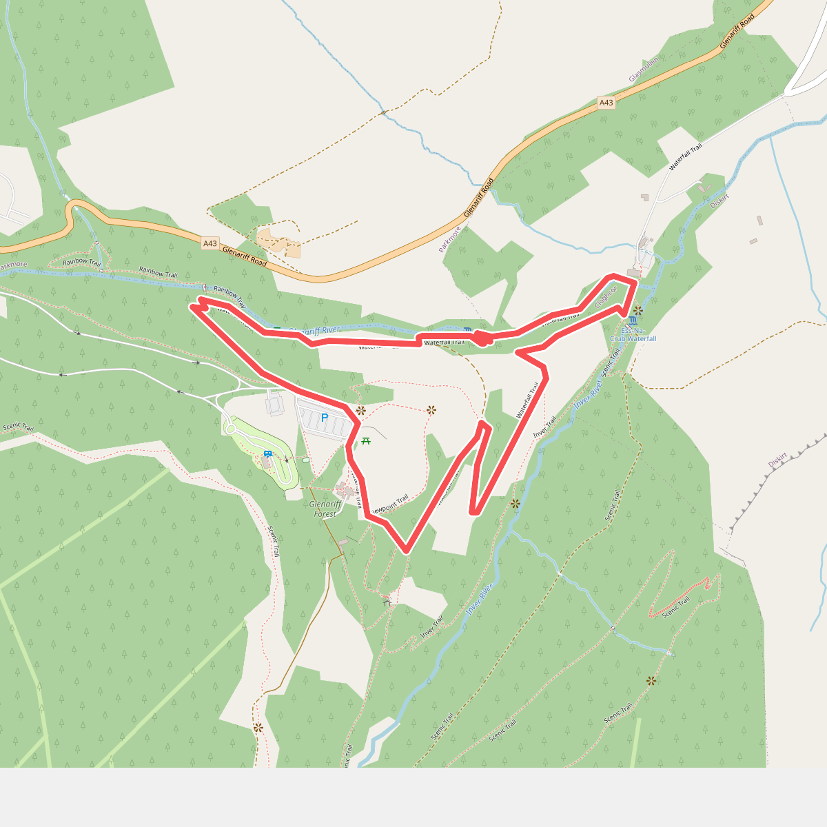
#8. Waterfall Trail