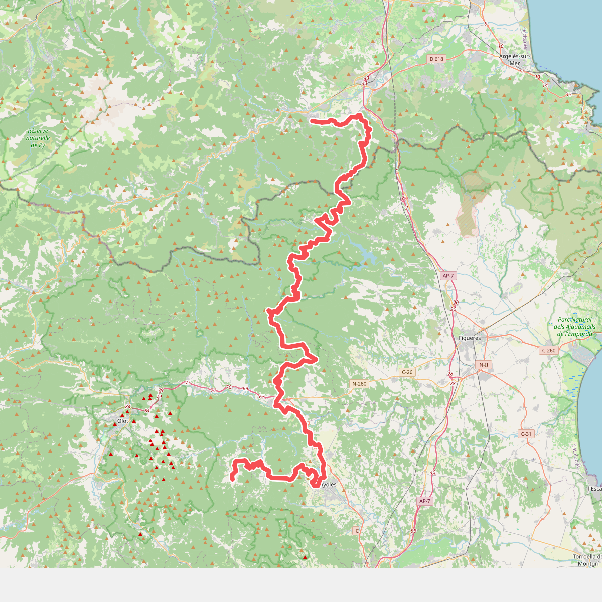
The best hiking routes in Alta Garrotxa-Massís de les Salines
Discover the best walks in Alta Garrotxa-Massís de les Salines. 39 routes on the map, with descriptions, photos and GPX.
About Alta Garrotxa-Massís de les Salines
Alta Garrotxa-Massís de les Salines is a rugged, deeply creased limestone landscape where the eastern Pyrenees begin to transition toward the Mediterranean. Unlike the high, grassy alpine meadows found further west, this area is defined by sheer cliffs, deep forested ravines, and dense evergreen oak forests. Underfoot, walkers will find rough, stony limestone paths, old mule tracks, and dry torrent beds that require careful stepping. The terrain is physically demanding, characterized by steep climbs and descents rather than gentle, rolling walks.
Read more
About Alta Garrotxa-Massís de les Salines
Alta Garrotxa-Massís de les Salines is a rugged, deeply creased limestone landscape where the eastern Pyrenees begin to transition toward the Mediterranean. Unlike the high, grassy alpine meadows found further west, this area is defined by sheer cliffs, deep forested ravines, and dense evergreen oak forests. Underfoot, walkers will find rough, stony limestone paths, old mule tracks, and dry torrent beds that require careful stepping. The terrain is physically demanding, characterized by steep climbs and descents rather than gentle, rolling walks.
Read moreAlta Garrotxa-Massís de les Salines is a rugged, deeply creased limestone landscape where the eastern Pyrenees begin to transition toward the Mediterranean. Unlike the high, grassy alpine meadows found further west, this area is defined by sheer cliffs, deep forested ravines, and dense evergreen oak forests. Underfoot, walkers will find rough, stony limestone paths, old mule tracks, and dry torrent beds that require careful stepping. The terrain is physically demanding, characterized by steep climbs and descents rather than gentle, rolling walks.
The vegetation reflects a sharp contrast between damp canyon bottoms and dry, sun-baked ridges. In the deep gorges, such as those around Sant Aniol d'Aguja, the air feels cool and humid, with beech trees and boxwood lining the rocky streams. As you climb higher toward the ridge lines of the Massís de les Salines, the forest thins out into scrubby holm oak and bare limestone pavement. Water is scarce on the upper slopes, as rain quickly drains through the porous karst rock, leaving the high ridges dry and exposed.
This is a landscape shaped by centuries of isolation, where old stone farmhouses and Romanesque hermitages sit half-swallowed by the regenerating forest. In November, the deciduous trees in the deeper valleys turn rust-brown, contrasting sharply with the dark green oaks on the cliffs. While the trailheads near popular gorges can be busy on spring weekends, the higher, more remote paths toward the border ridges remain quiet, offering a demanding hiking experience through dense, silent woodland and rocky scrub.
Hiking routes in Alta Garrotxa-Massís de les Salines (39)
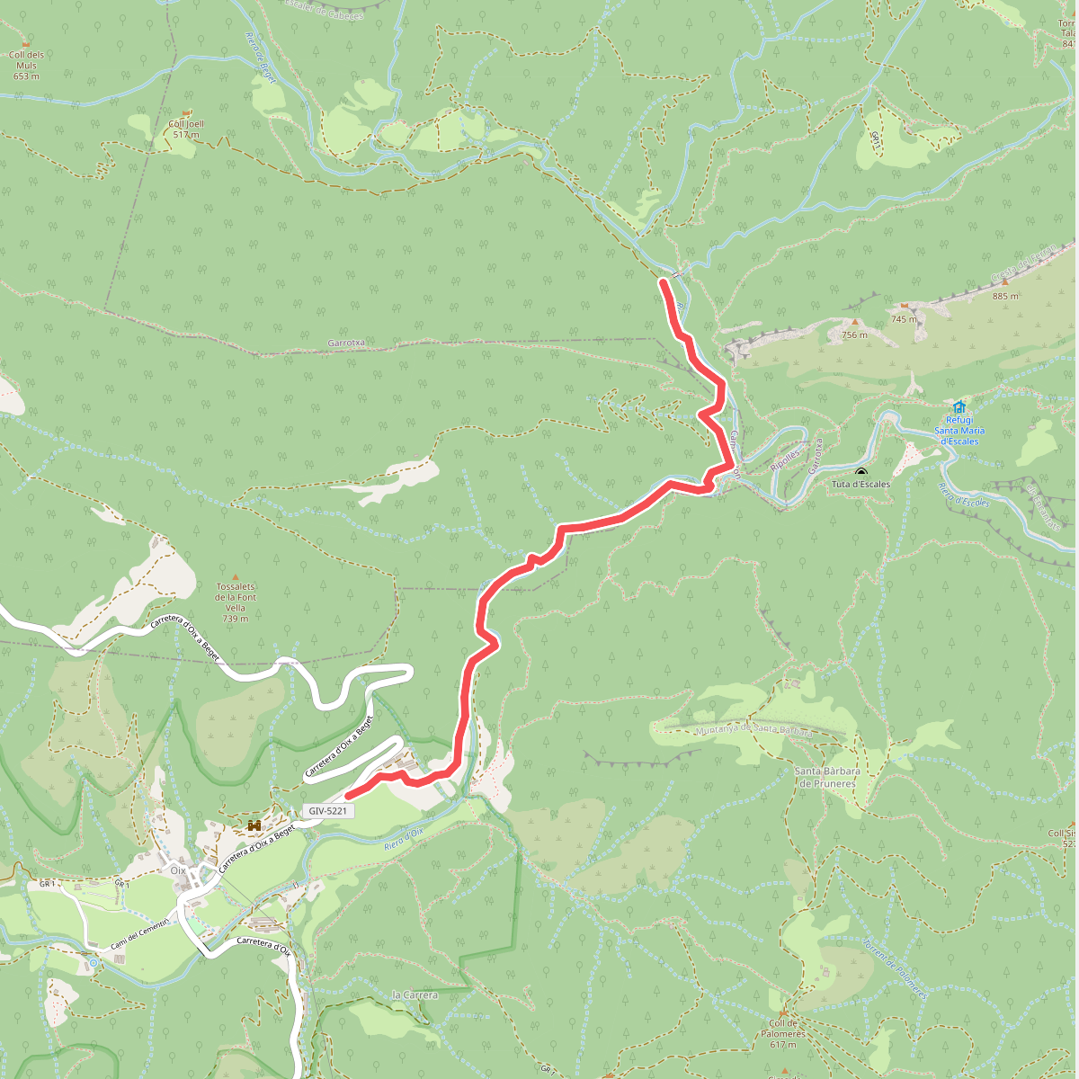
#1. 186
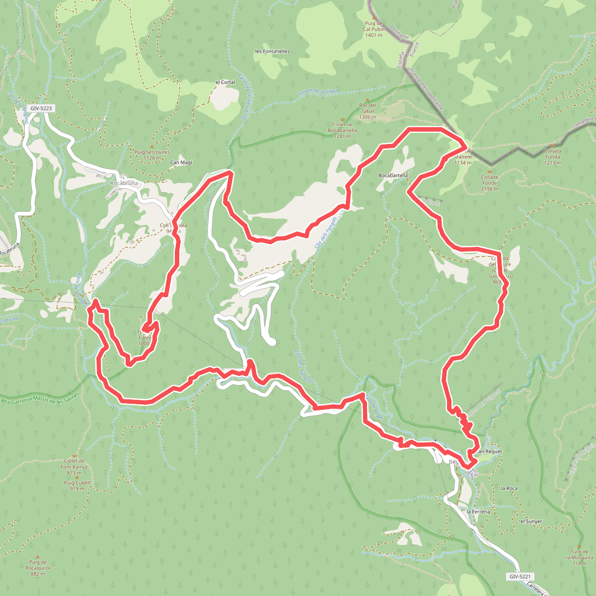
#2. Beget i Rocabruna pels camins de contrabandistes
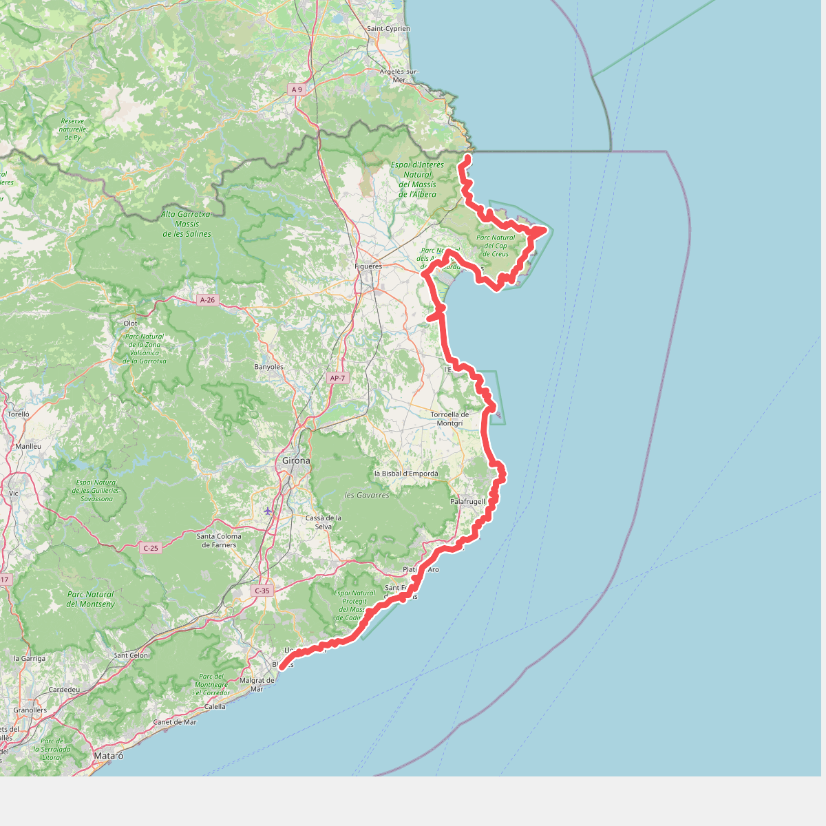
#3. Camí de Ronda
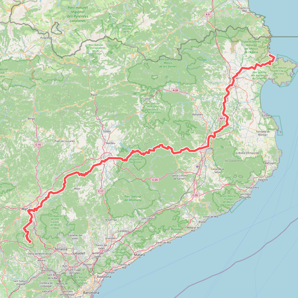
#4. Camí de Sant Jaume (Sant Pere de Rodes - Montserrat)
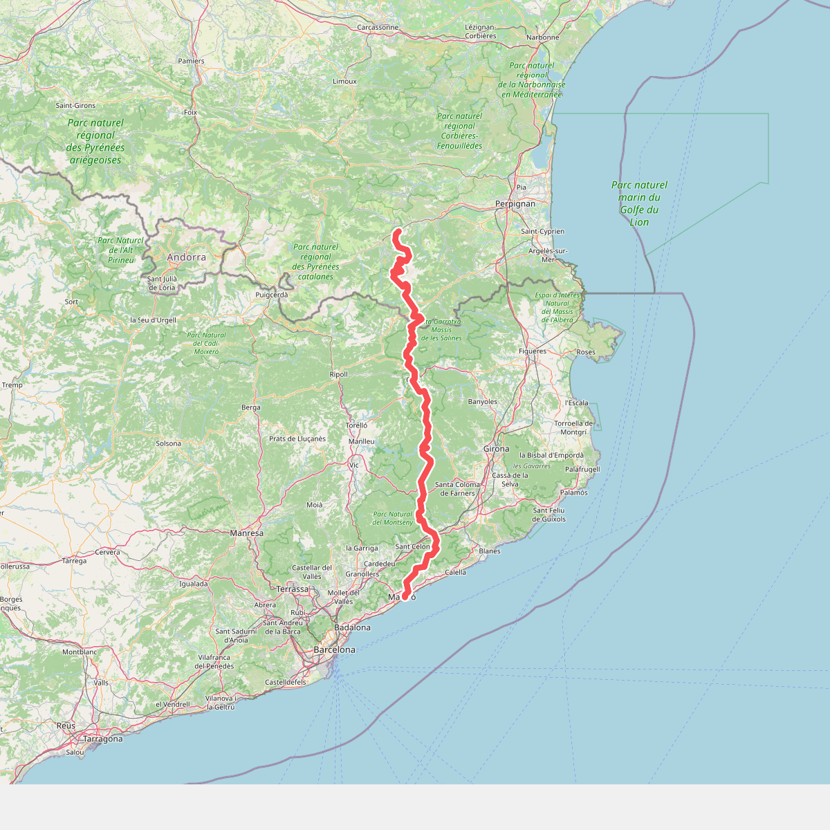
#5. Camí del nord o del Canigó
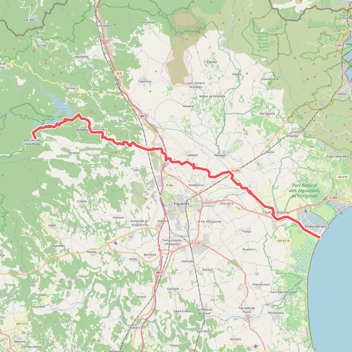
#6. Camí natural de La Muga
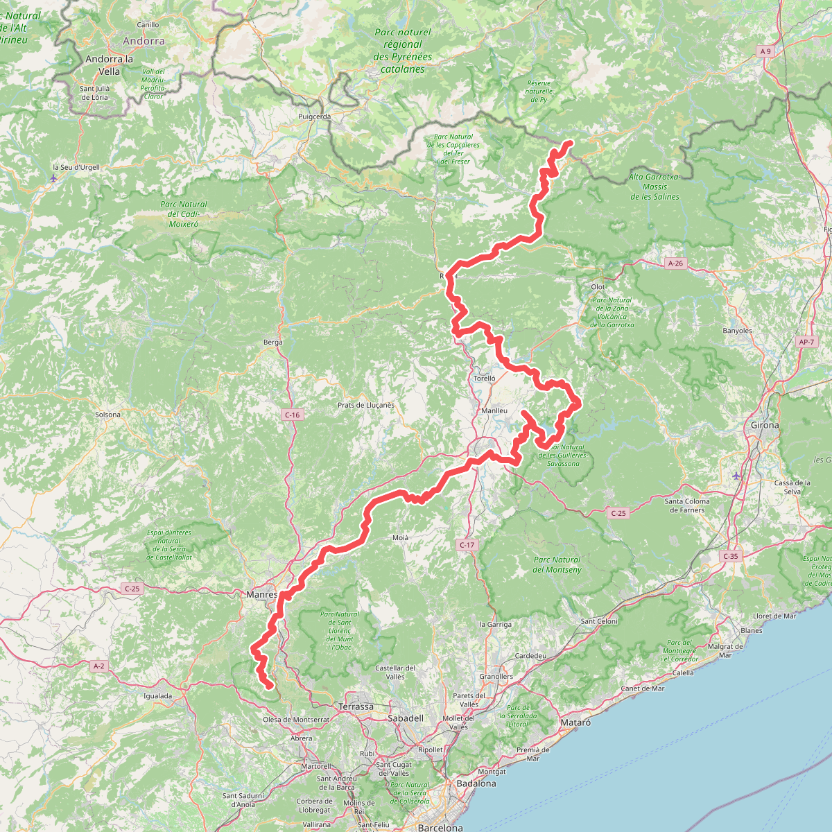
#7. Camí Oliba
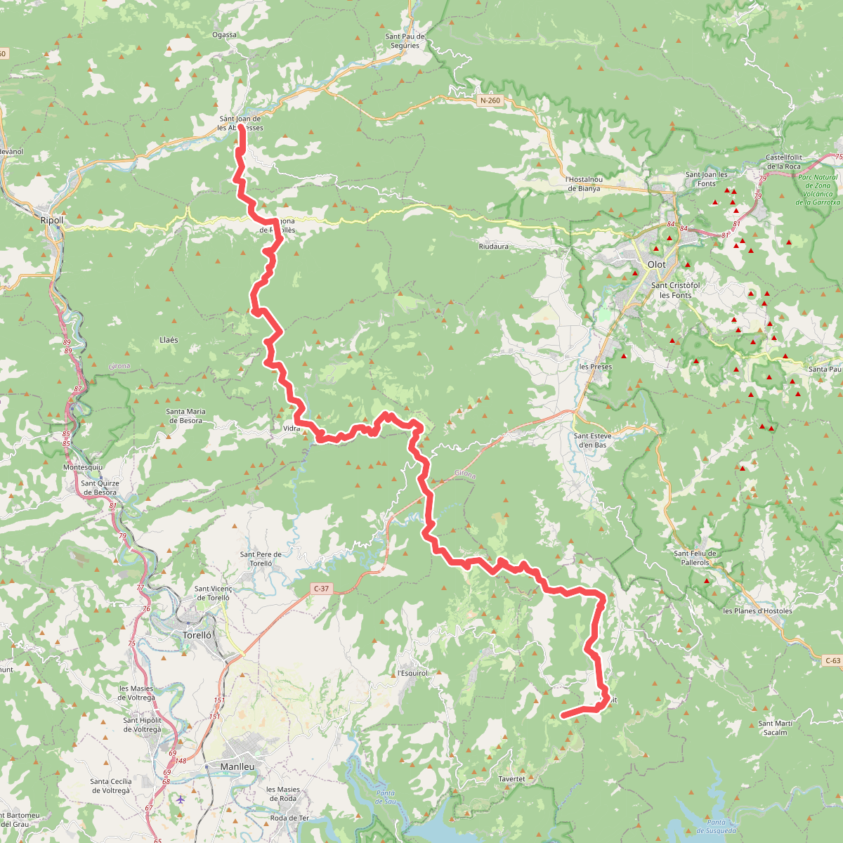
#8. Camí Oliba. Variant Rajols - Sant Joan de les Abadesses
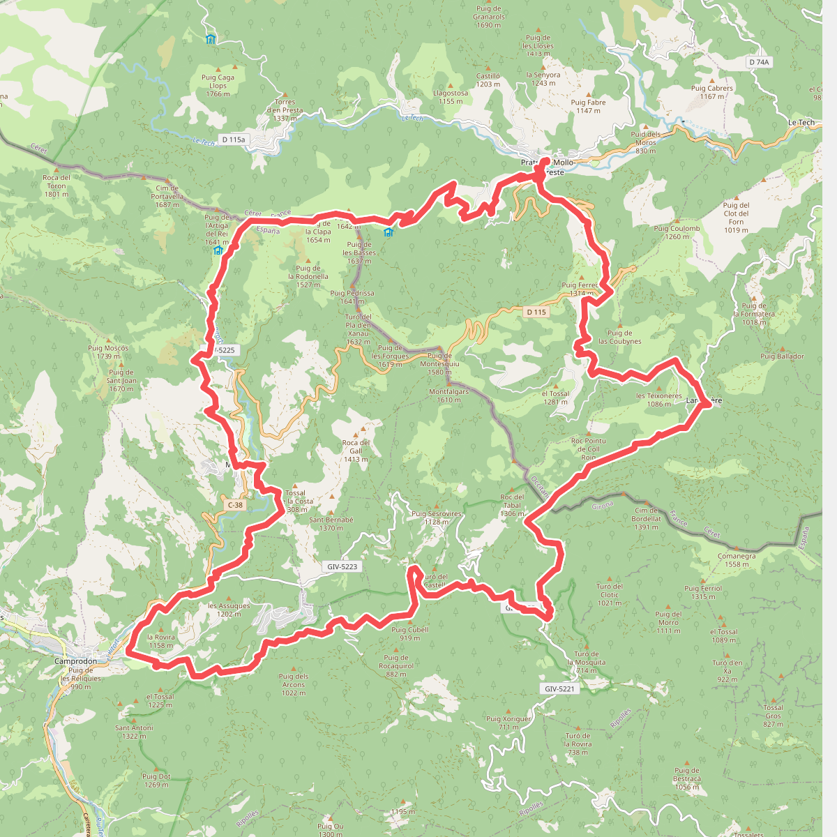
#9. Camins de l'exili
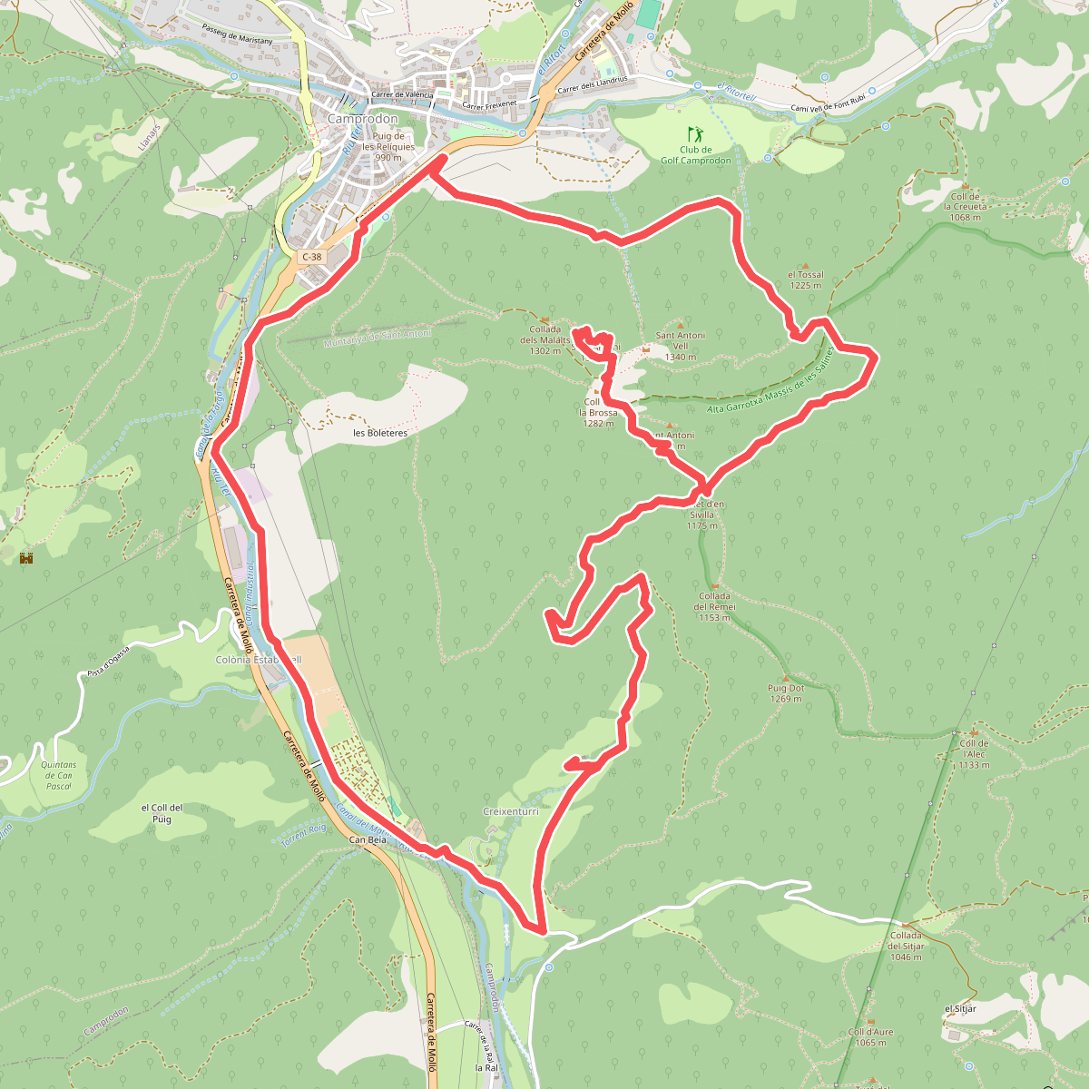
#10. Camprodon, la muntanya de Sant Antoni i el Santuari del Remei
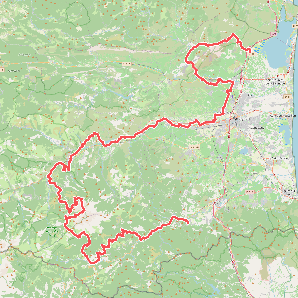
#11. El Camí IT1TR1 El Camí Capçaler: de Salzes a Balaguer