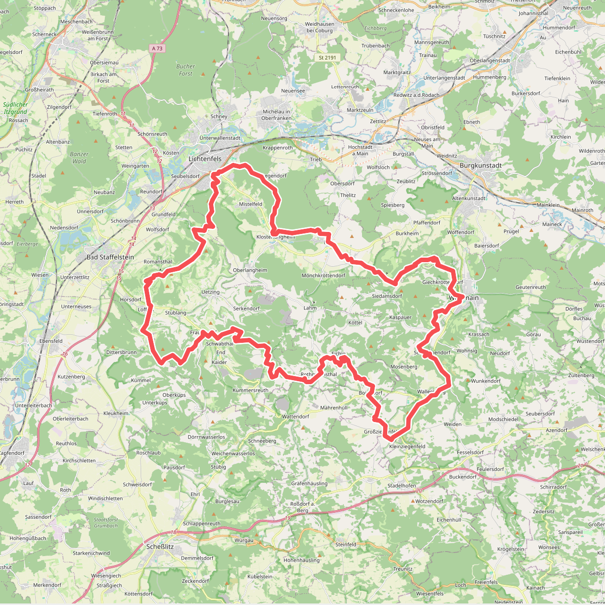
The best hiking routes in Albtrauf von Dörrnwasserlos bis Zeegendorf
Discover the best walks in Albtrauf von Dörrnwasserlos bis Zeegendorf. 50 routes on the map, with descriptions, photos and GPX.
About Albtrauf von Dörrnwasserlos bis Zeegendorf
The Albtrauf von Dörrnwasserlos bis Zeegendorf covers the steep western escarpment of the Franconian Jura, where the limestone plateau drops abruptly into the lower valley. This is not a landscape of high peaks or wide plains, but rather a narrow, wooded band of sharp elevation changes. Walkers will immediately notice the contrast between the dense beech forests clinging to the slopes and the open, agricultural fields that begin where the terrain flattens out at the top and bottom of the ridge.
Read more
About Albtrauf von Dörrnwasserlos bis Zeegendorf
The Albtrauf von Dörrnwasserlos bis Zeegendorf covers the steep western escarpment of the Franconian Jura, where the limestone plateau drops abruptly into the lower valley. This is not a landscape of high peaks or wide plains, but rather a narrow, wooded band of sharp elevation changes. Walkers will immediately notice the contrast between the dense beech forests clinging to the slopes and the open, agricultural fields that begin where the terrain flattens out at the top and bottom of the ridge.
Read moreThe Albtrauf von Dörrnwasserlos bis Zeegendorf covers the steep western escarpment of the Franconian Jura, where the limestone plateau drops abruptly into the lower valley. This is not a landscape of high peaks or wide plains, but rather a narrow, wooded band of sharp elevation changes. Walkers will immediately notice the contrast between the dense beech forests clinging to the slopes and the open, agricultural fields that begin where the terrain flattens out at the top and bottom of the ridge.
Underfoot, the paths are dominated by limestone rubble, exposed roots, and clay soils that become slick after rainfall. The terrain is characterized by short, steep climbs and descents rather than long, gradual trails. Along the upper edge of the escarpment, the forest occasionally opens up to reveal natural limestone outcrops and cliffs, which provide clear vantage points over the Regnitz valley below without the need for artificial viewing platforms.
In May, the forest floor is covered in fresh green beech leaves and wild garlic, while October brings a heavy drop of beech mast and dry leaves that obscure the rocky paths. The area is generally quiet, though the sections nearest to the trailheads at Dörrnwasserlos and Zeegendorf see more regular foot traffic from local walkers on weekends.
Hiking routes in Albtrauf von Dörrnwasserlos bis Zeegendorf (50)
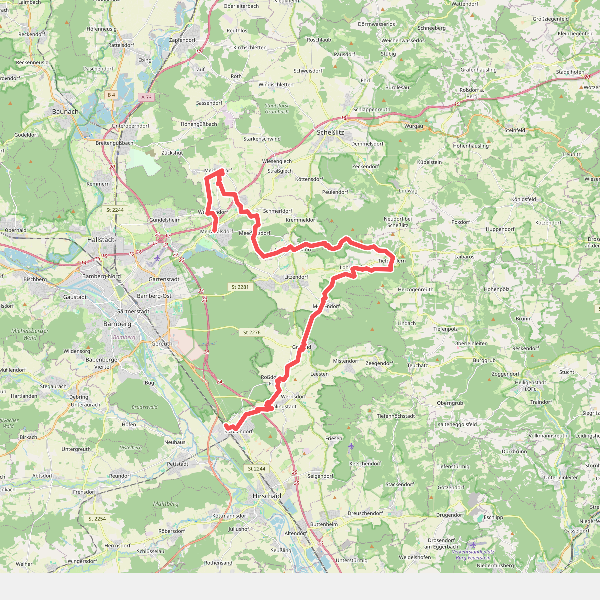
#1. 13 Brauereien Weg
Strullendorf,Geisberger Forst,Litzendorf,Scheßlitz,Memmelsdorf
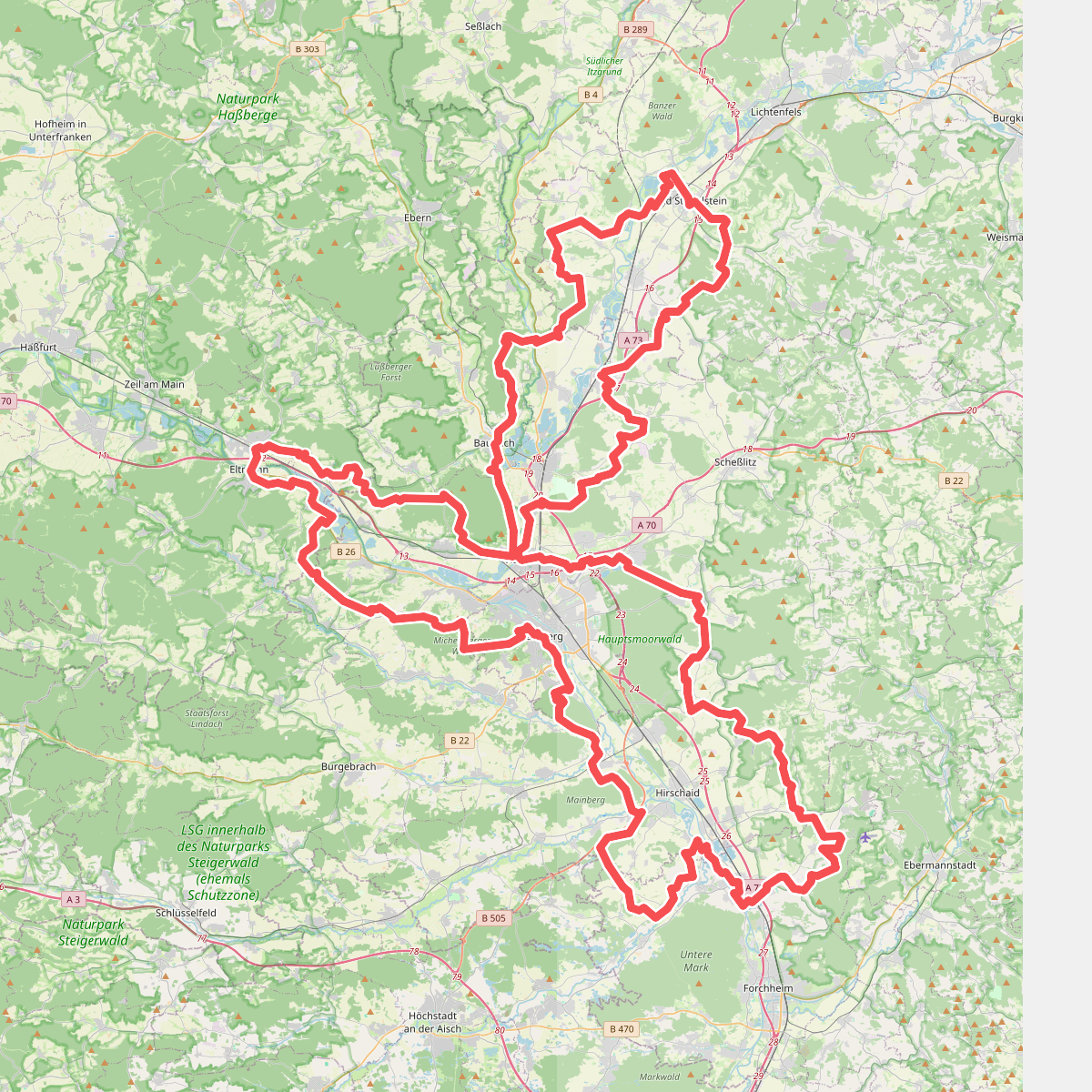
#2. 7-Flüsse-Wanderweg
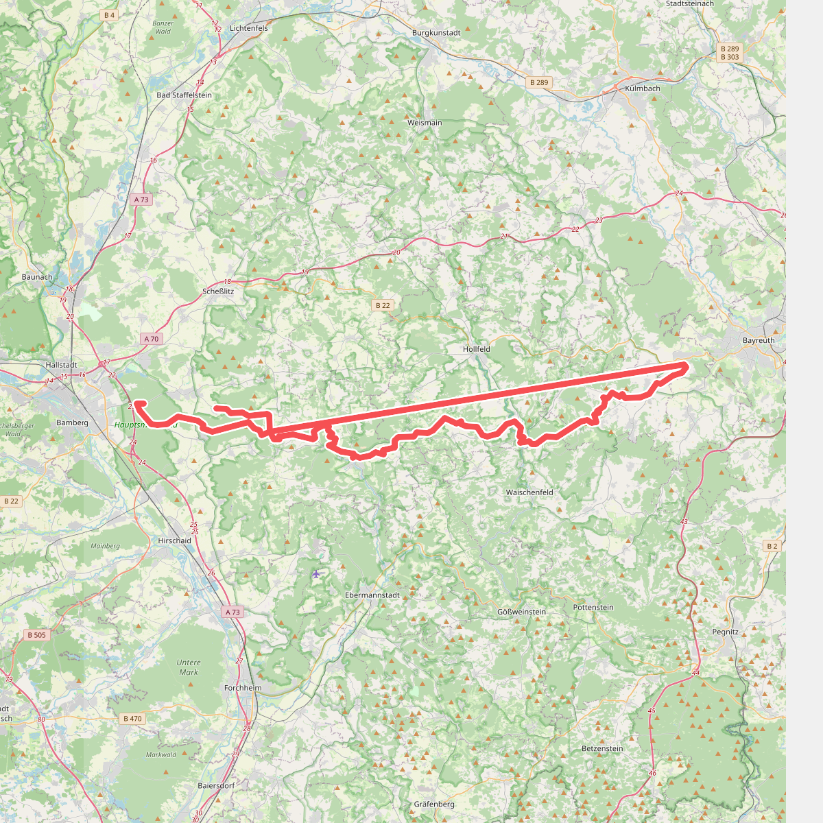
#3. Bamberg - Mistelgau (Oberjägermarterweg)
Hauptsmoor,Geisberger Forst,Heiligenstadt i. OFr.,Aufseß,Hollfeld,Plankenfels,Waischenfeld,Mistelgau,Eckersdorf,Litzendorf
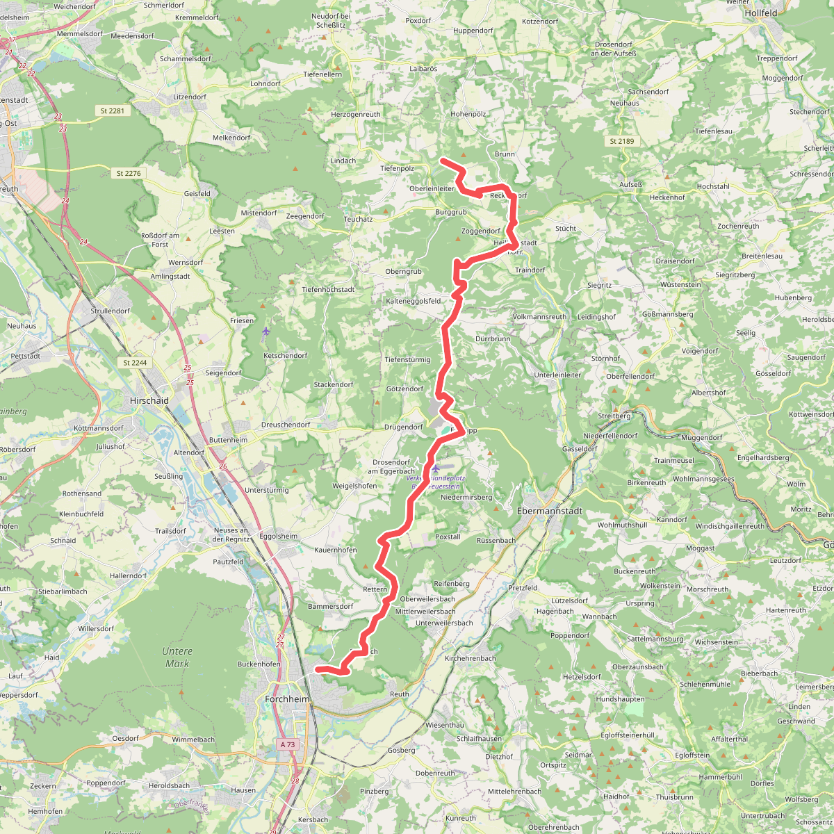
#4. DAV-Weg
Forchheim,Weilersbach,Eggolsheim,Ebermannstadt,Heiligenstadt i. OFr.
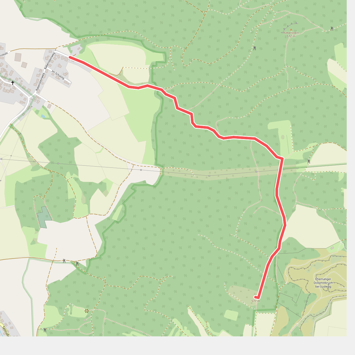
#5. Demmelsdorf - Heidenstein
Scheßlitz
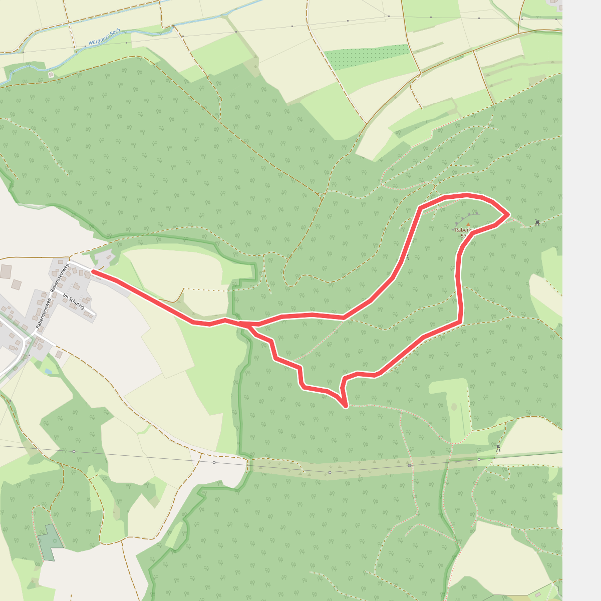
#6. Demmelsdorf - Rabenstein - Demmelsdorf
Scheßlitz
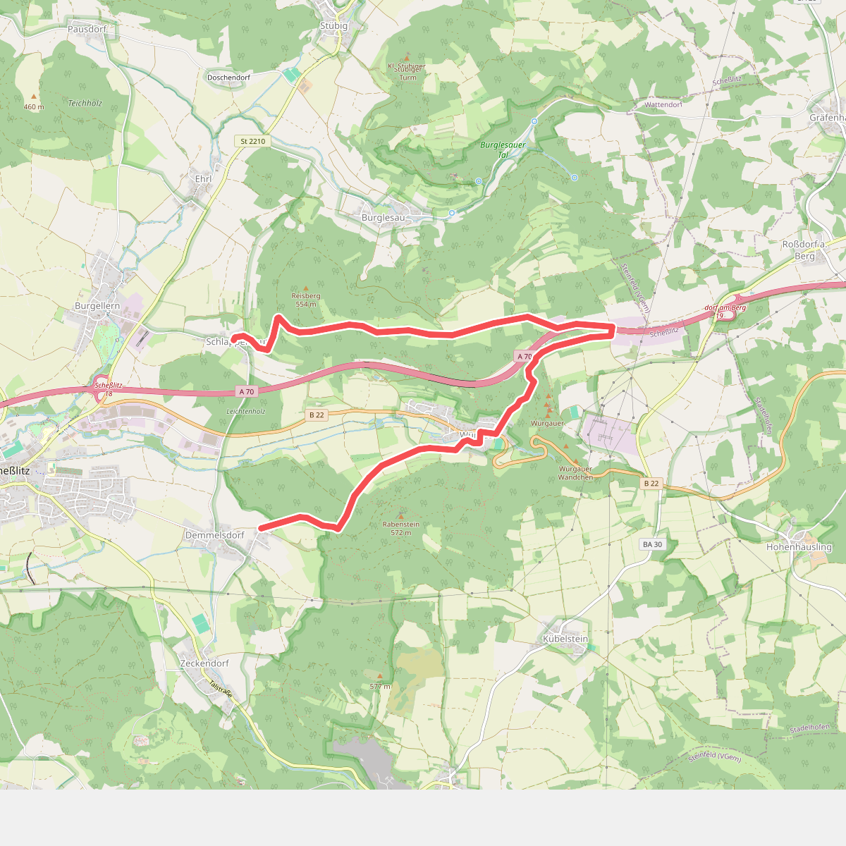
#7. Demmelsdorf - Würgau - Heldenhein - Schlappenreuth
Scheßlitz
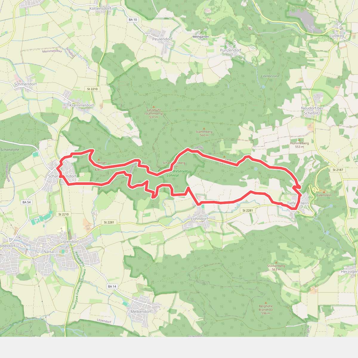
#8. Ellertal Nord - Stammberg - Rundweg
Litzendorf,Memmelsdorf,Scheßlitz
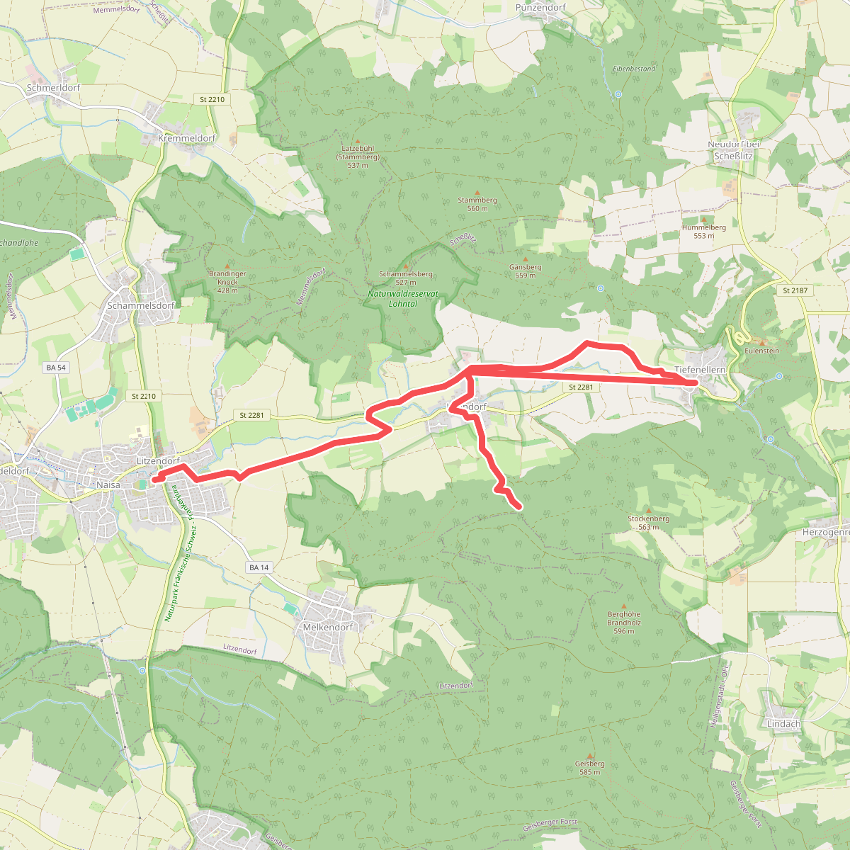
#9. Ellertalwanderung
Litzendorf
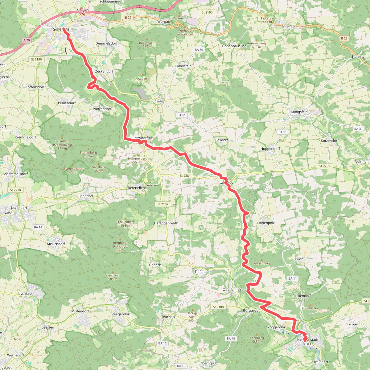
#10. Scheßlitz - Heiligenstadt i.OFr · Frankenweg etappe 9
Scheßlitz,Litzendorf,Königsfeld,Heiligenstadt i. OFr.
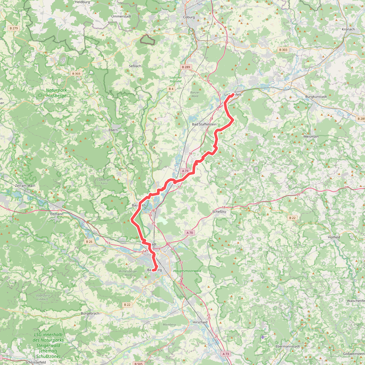
#11. Fränkischer Jakobsweg Lichtenfels-Bamberg