The best hiking routes in Aland-Elbe-Niederung
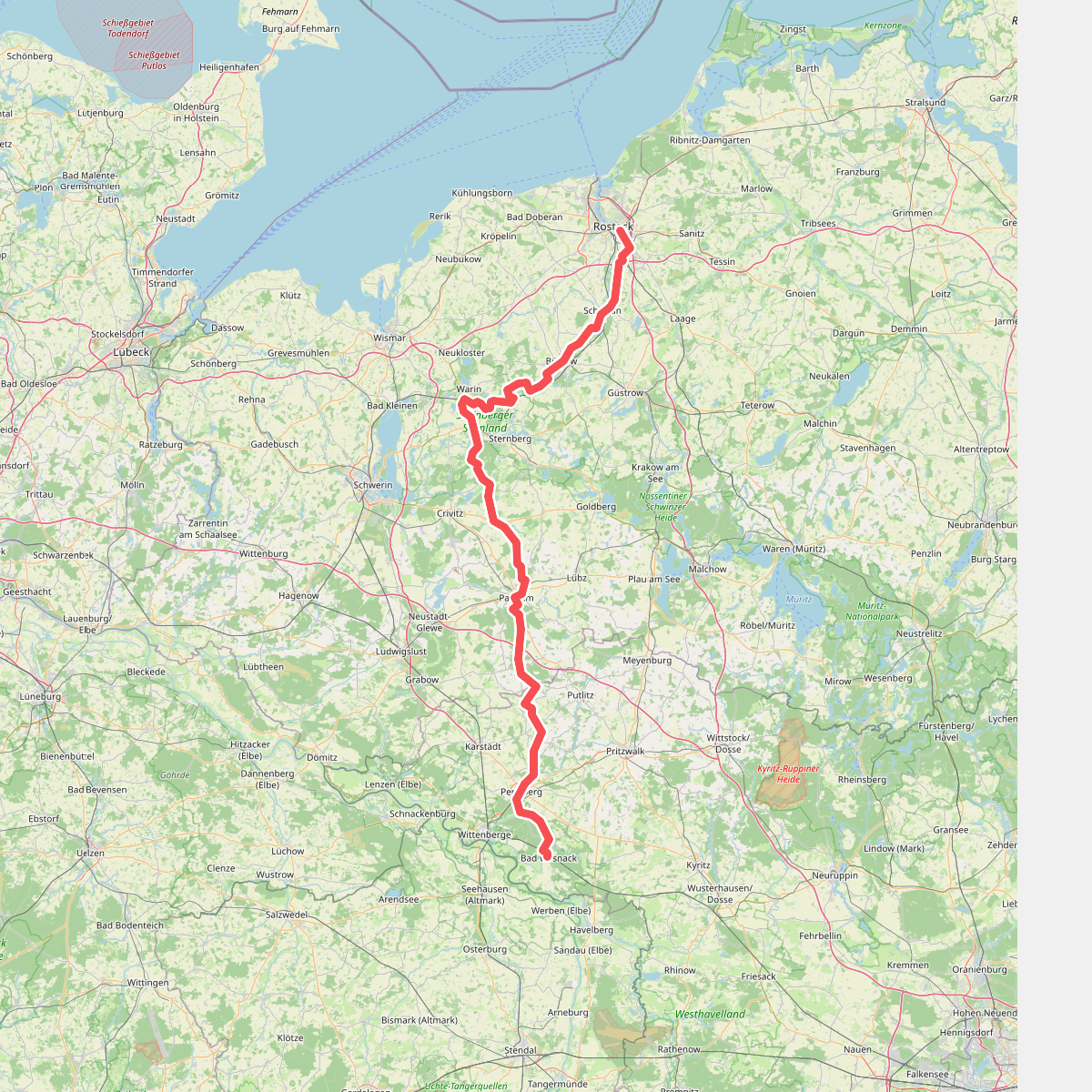
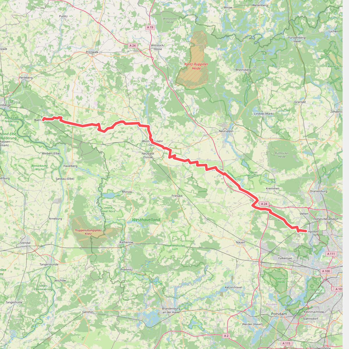
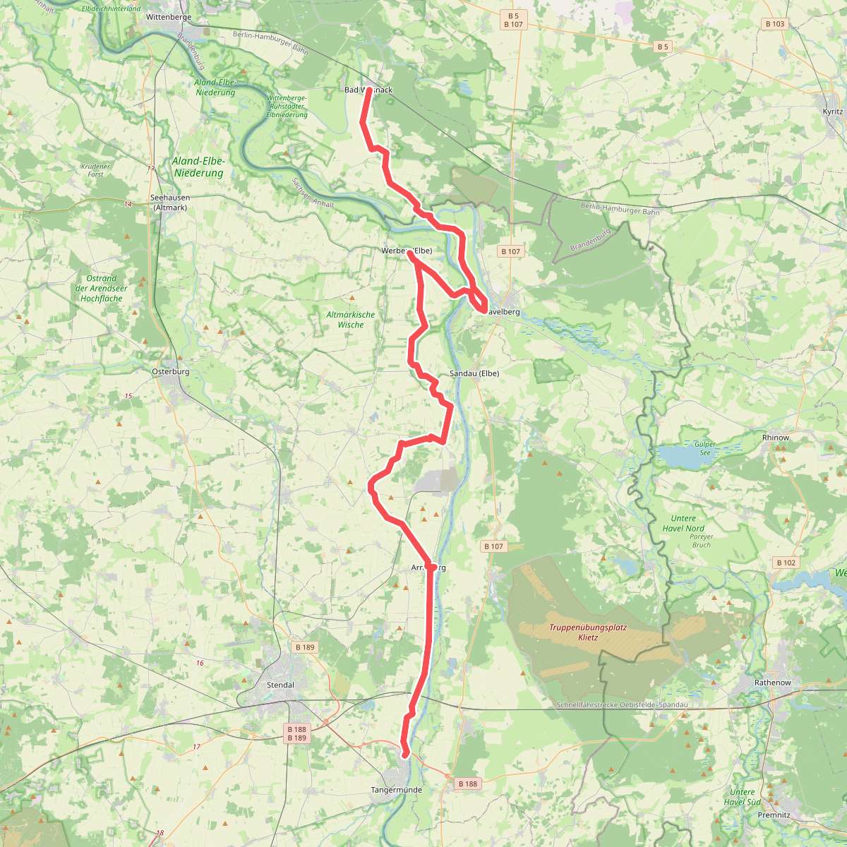
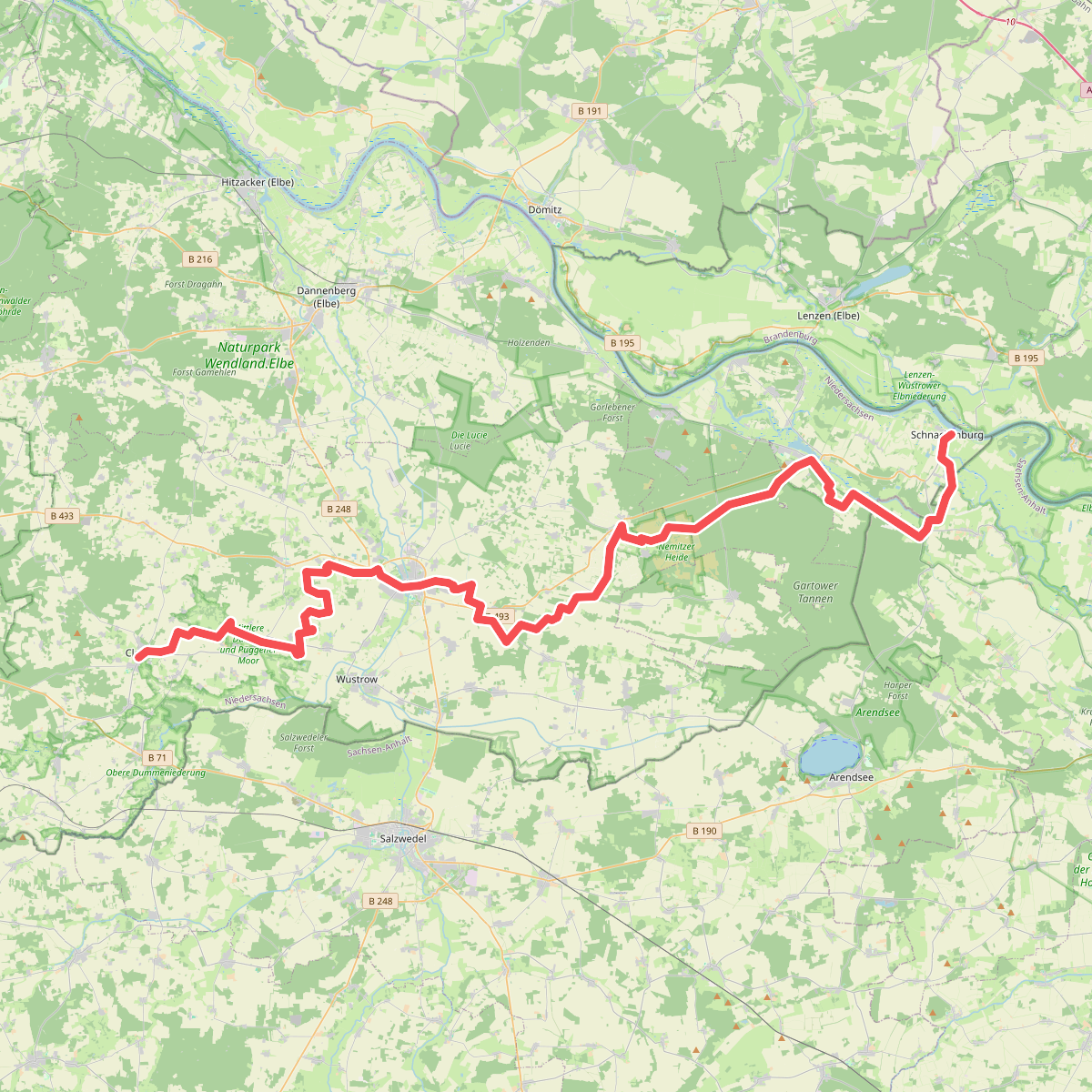
Discover the best walks in Aland-Elbe-Niederung. 4 routes on the map, with descriptions, photos and GPX.
About Aland-Elbe-Niederung
The Aland-Elbe-Niederung offers a distinct walking experience shaped by its position within the former border strip and the natural floodplains where the Aland river meets the Elbe. Unlike the dry, sandy pine forests of the surrounding inland plains, this area is defined by wide, flat alluvial meadows, old river branches, and dense hardwood riparian forests. Walkers will notice a landscape of wide pastures divided by drainage ditches and rows of pollard willows, which contrasts sharply with the managed agricultural fields nearby.
Read more
About Aland-Elbe-Niederung
The Aland-Elbe-Niederung offers a distinct walking experience shaped by its position within the former border strip and the natural floodplains where the Aland river meets the Elbe. Unlike the dry, sandy pine forests of the surrounding inland plains, this area is defined by wide, flat alluvial meadows, old river branches, and dense hardwood riparian forests. Walkers will notice a landscape of wide pastures divided by drainage ditches and rows of pollard willows, which contrasts sharply with the managed agricultural fields nearby.
Read moreThe Aland-Elbe-Niederung offers a distinct walking experience shaped by its position within the former border strip and the natural floodplains where the Aland river meets the Elbe. Unlike the dry, sandy pine forests of the surrounding inland plains, this area is defined by wide, flat alluvial meadows, old river branches, and dense hardwood riparian forests. Walkers will notice a landscape of wide pastures divided by drainage ditches and rows of pollard willows, which contrasts sharply with the managed agricultural fields nearby.
Underfoot, the terrain consists mostly of unpaved grassy tracks, dyke paths, and agricultural concrete lanes. These paths can be soft and uneven, requiring sturdy footwear, especially on the low-lying meadows close to the river banks. There are no boardwalks or signposted mountain trails here; the walking is entirely flat, relying on the network of flood-protection dykes that provide elevated views over the wet pastures and the slow-moving river channels.
In late spring, particularly around May, the meadows are filled with flowering herbs and nesting wading birds, making it a key period for observing the local floodplain ecology. The area is generally quiet, though the paved dyke paths can see more bicycle traffic during summer weekends. It is a landscape of subtle changes in elevation, where even a one-meter rise in the dyke path alters your view from the damp, willow-lined ditches to the broader river bends.